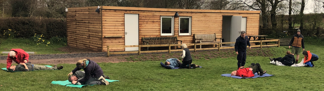
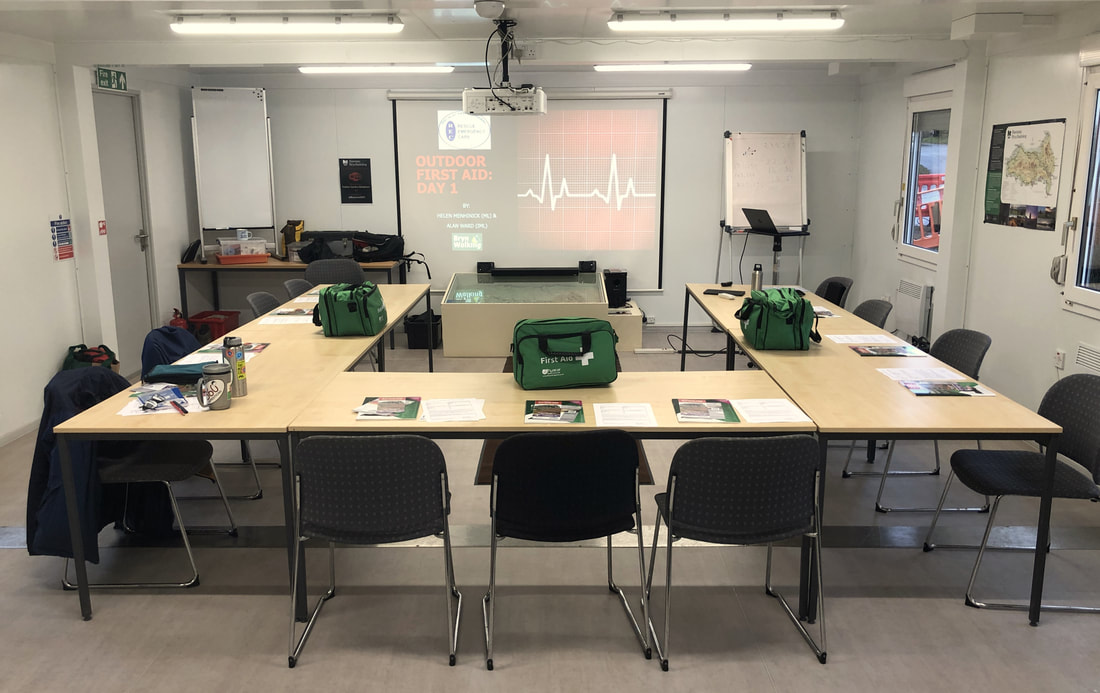
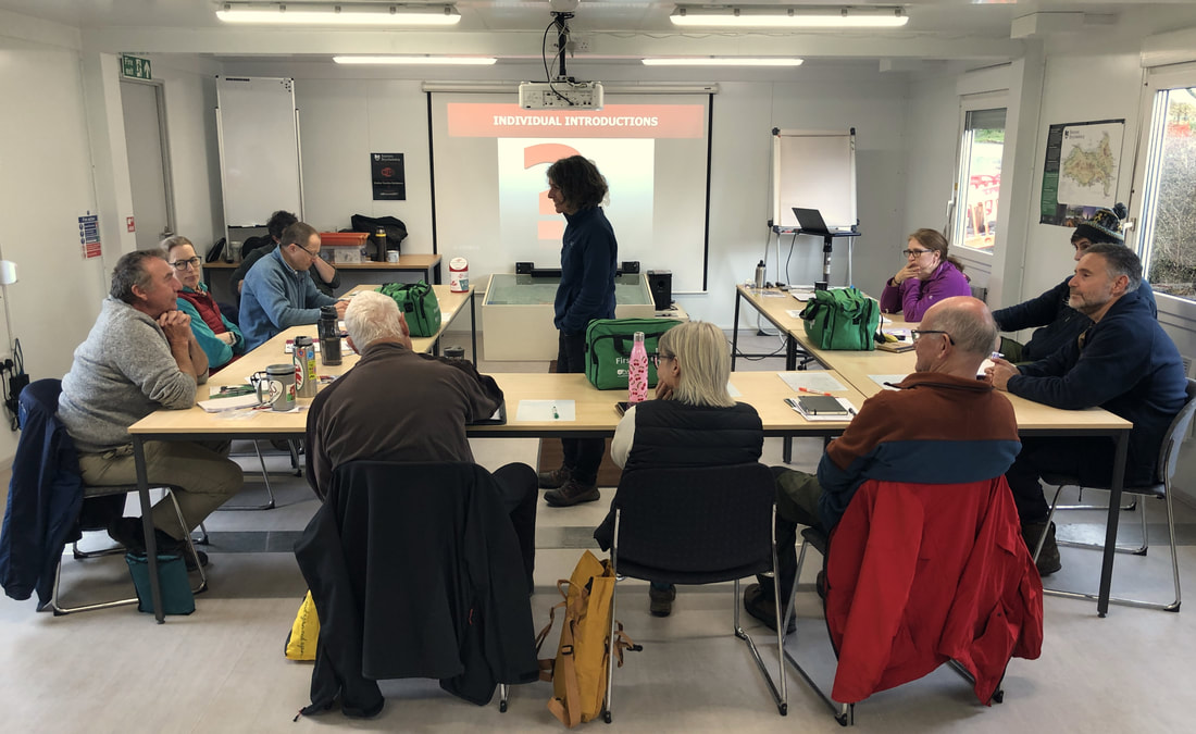
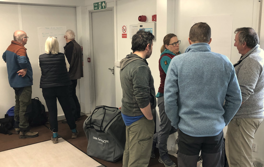
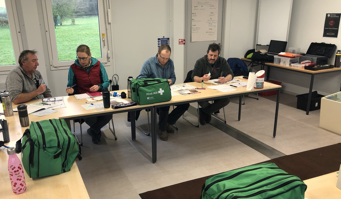
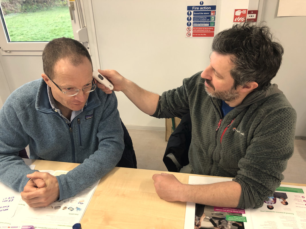
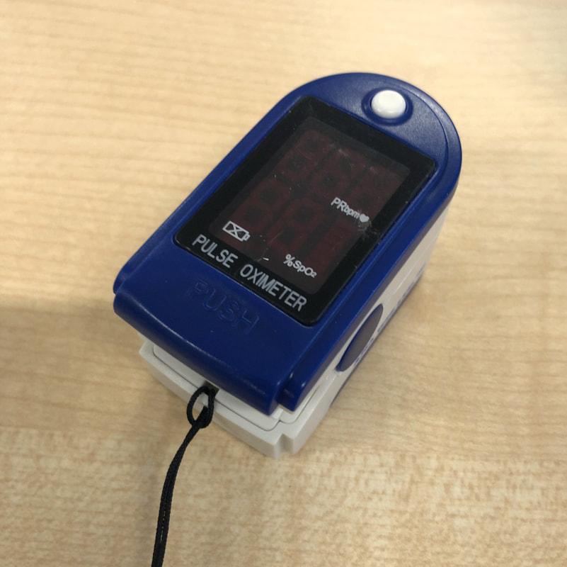
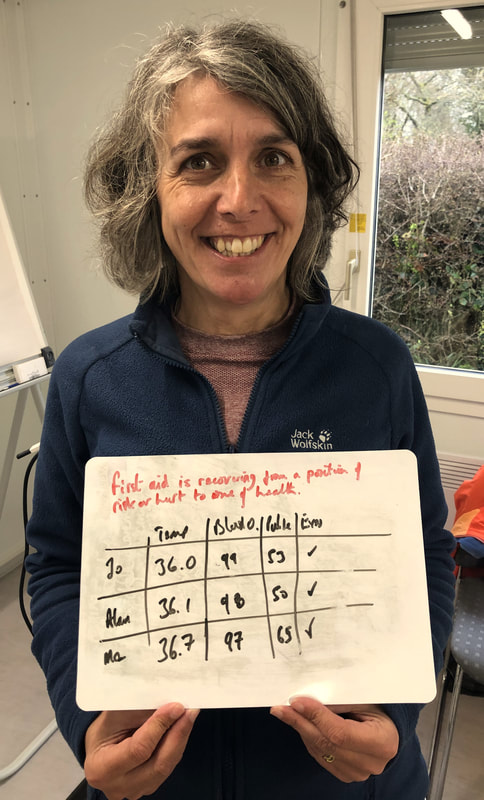
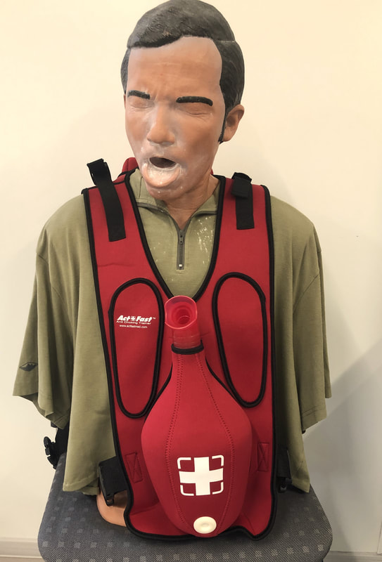
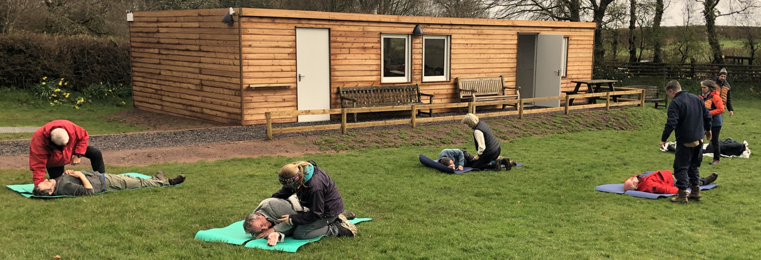
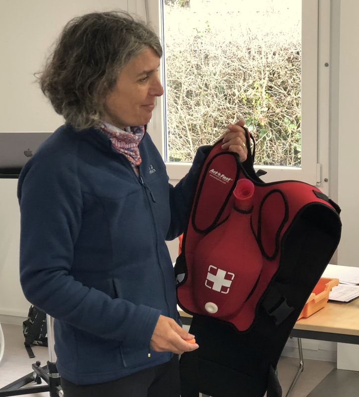
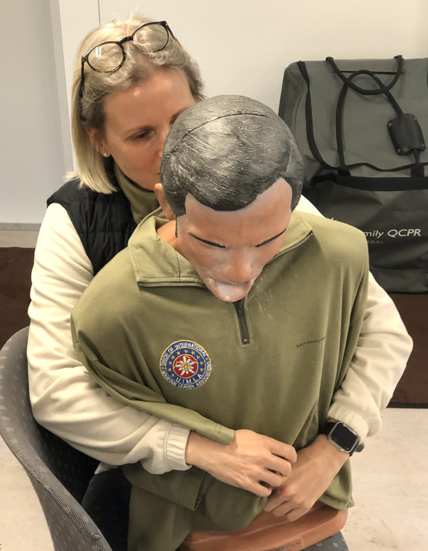
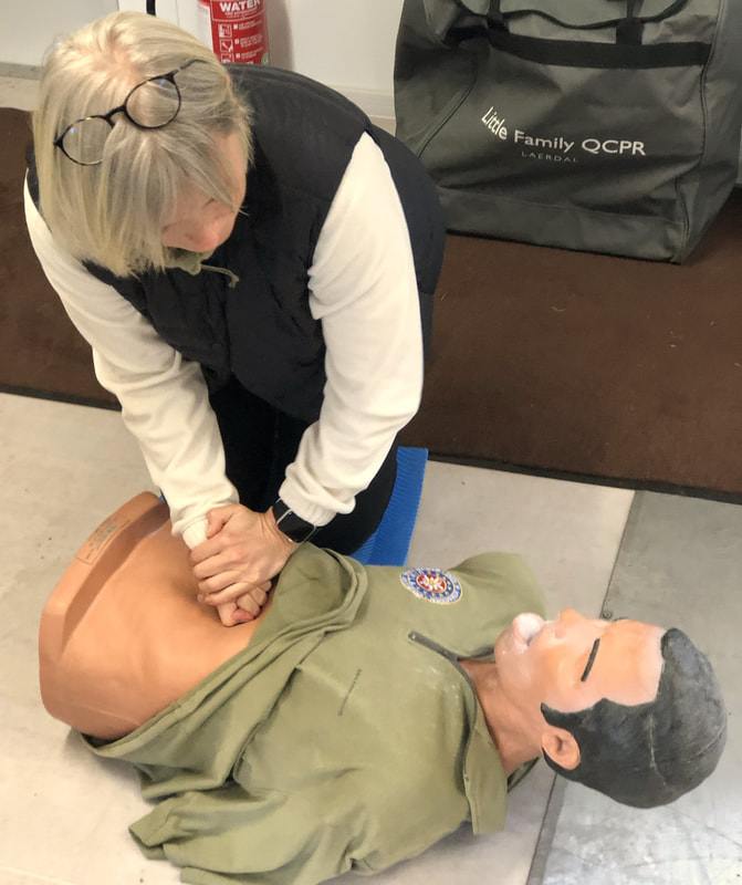
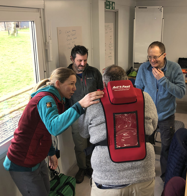
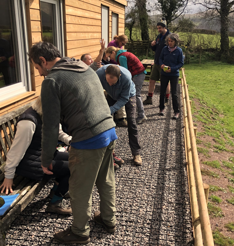
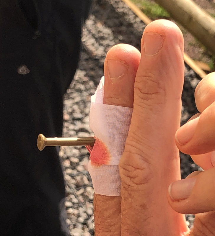
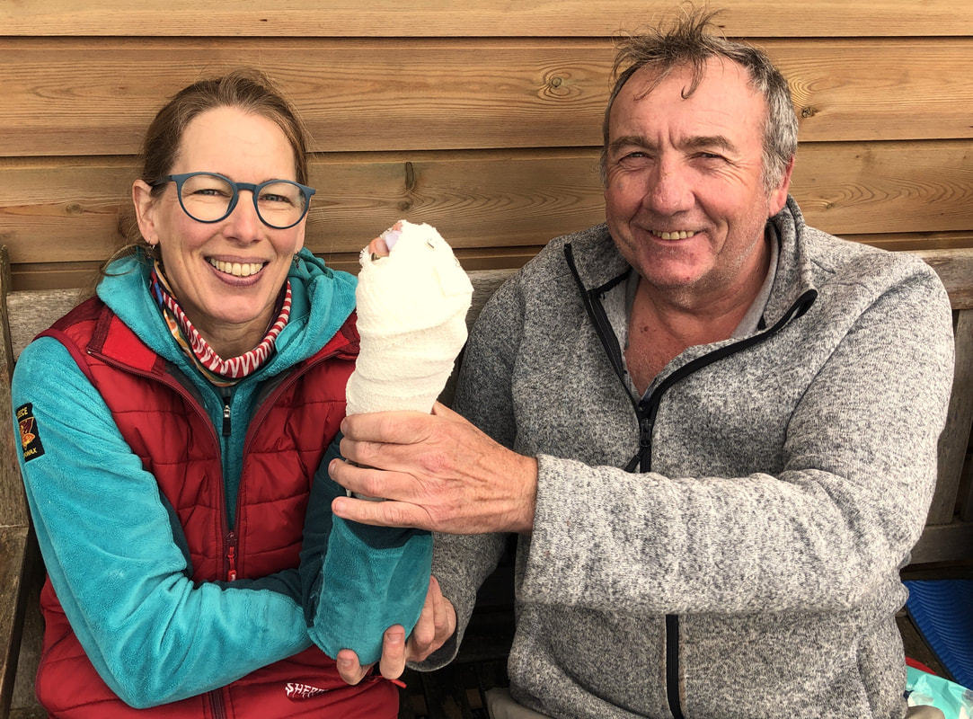
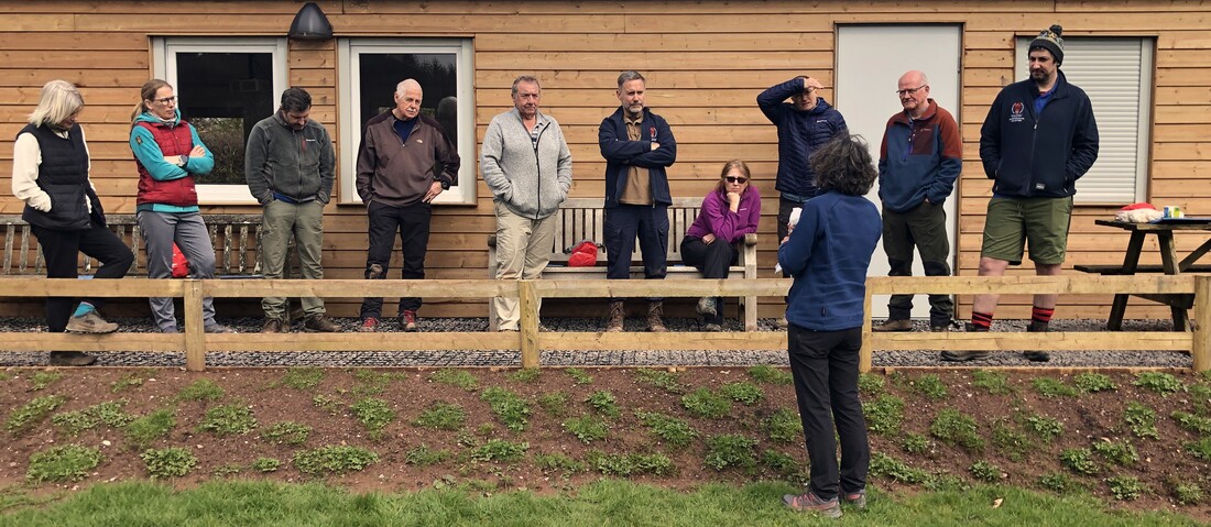
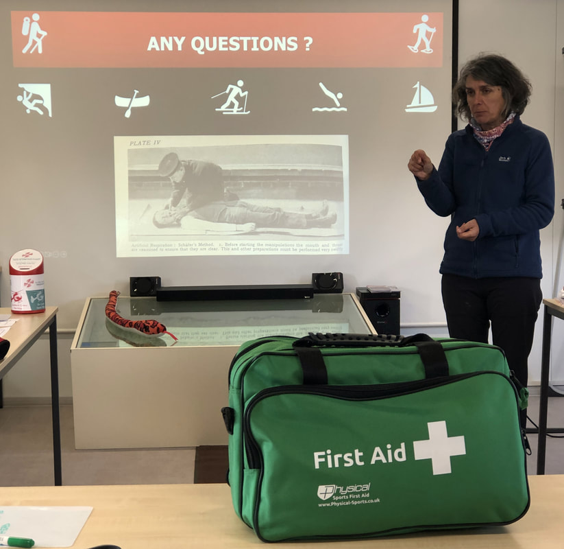
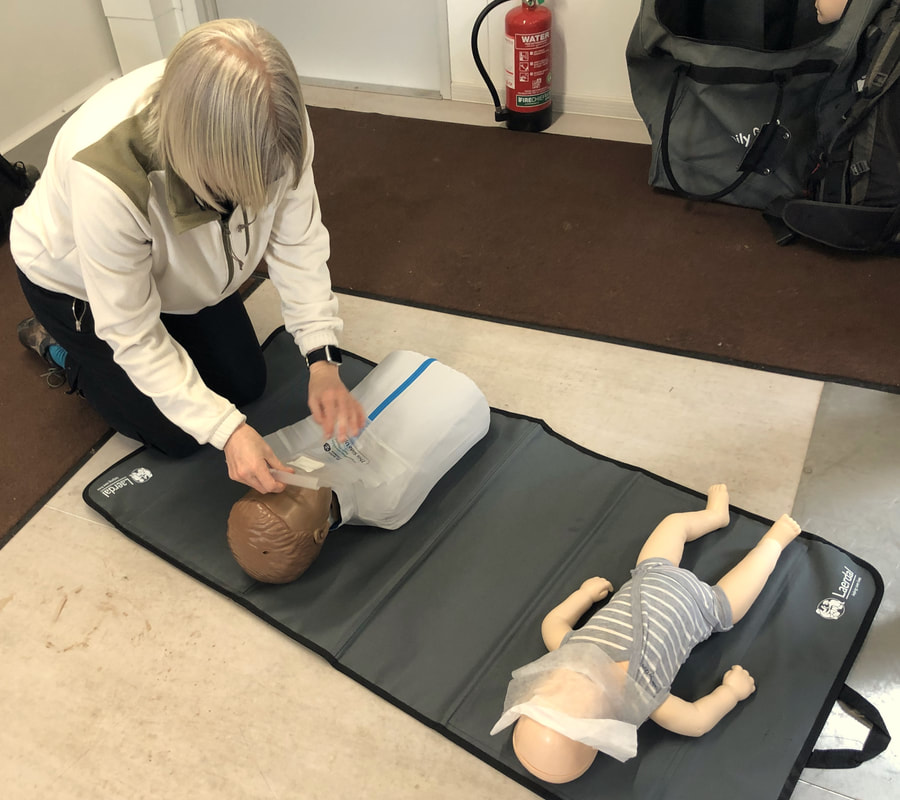
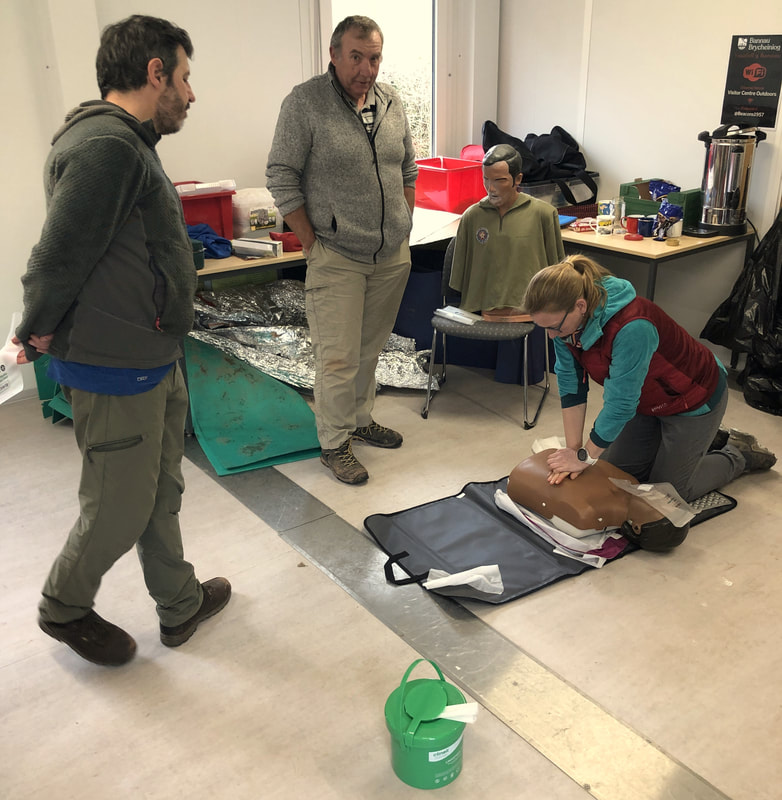
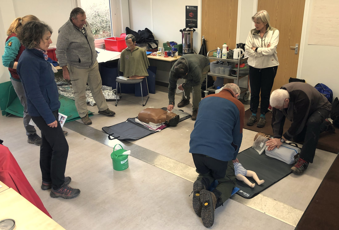
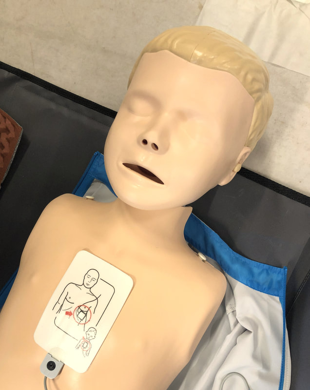
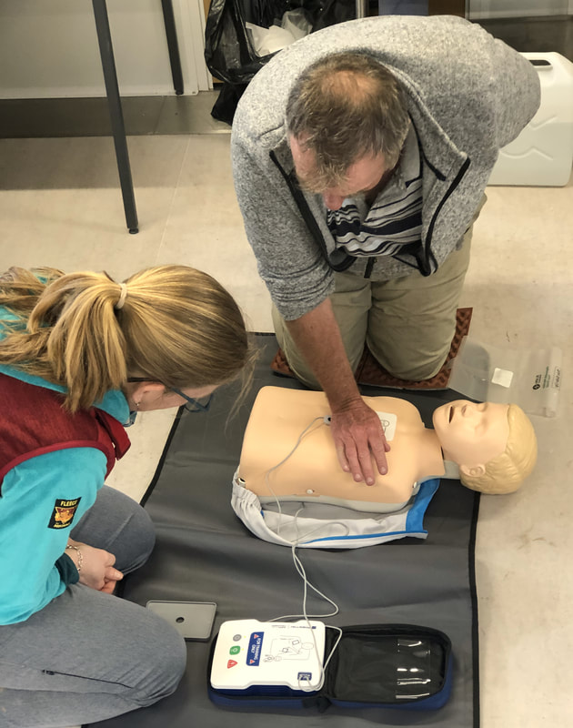
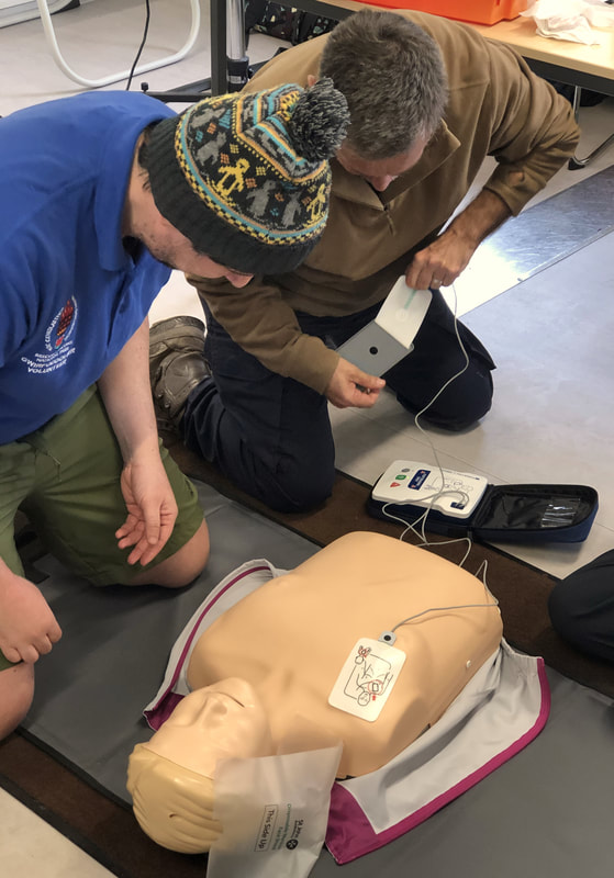
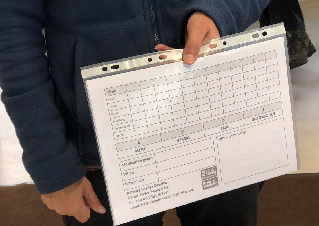
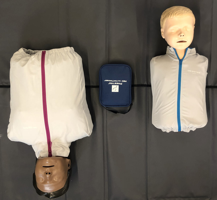
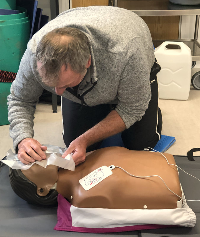
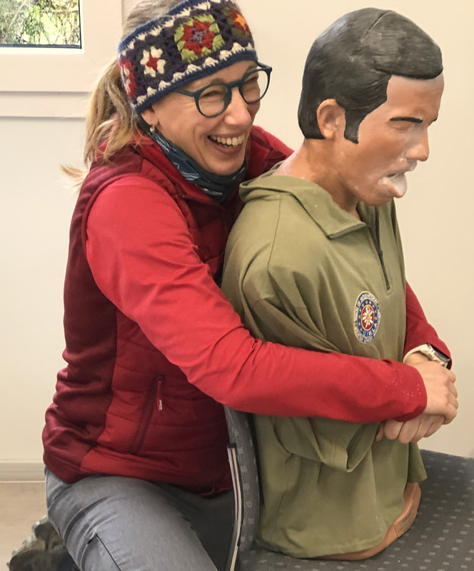
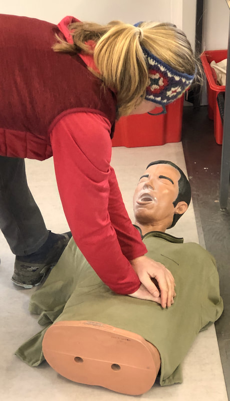
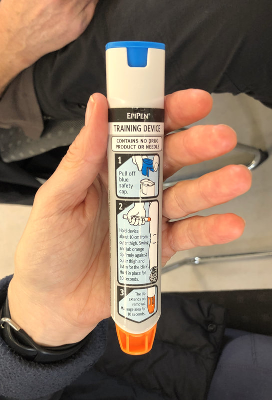
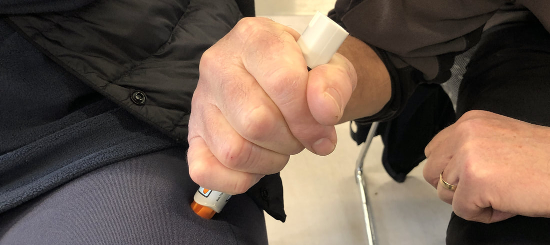
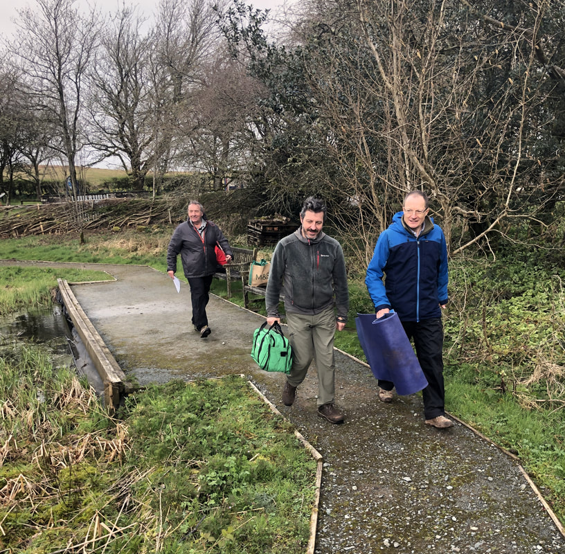
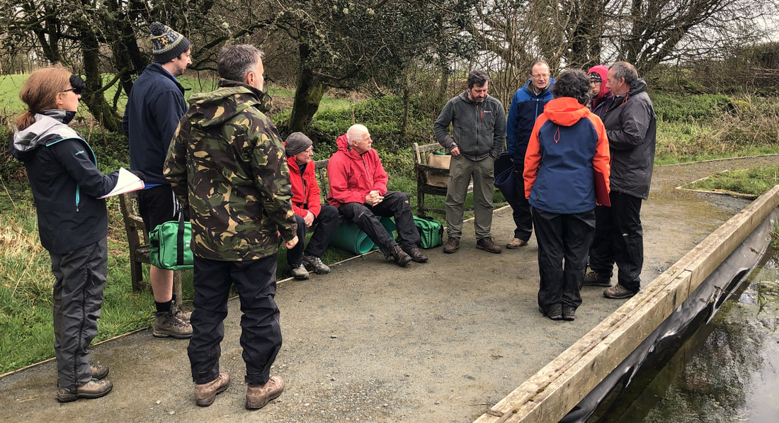
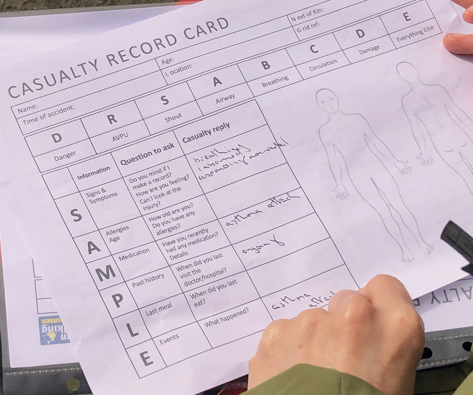
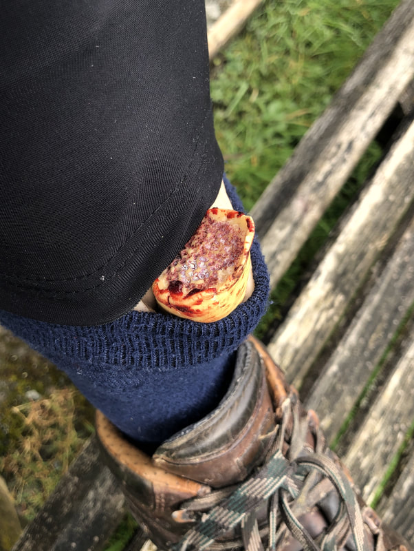
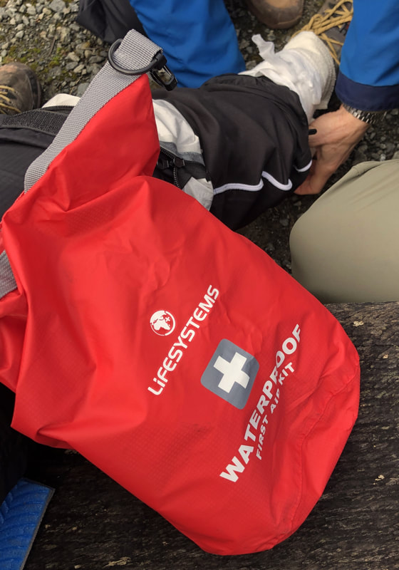
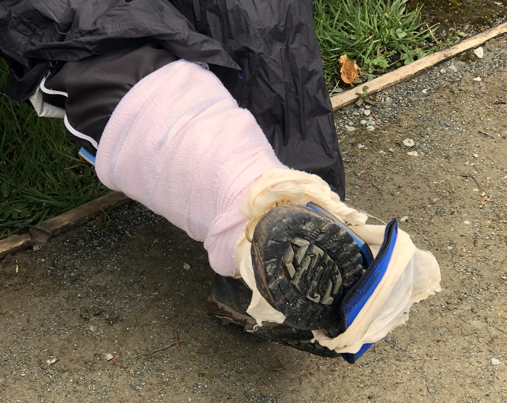
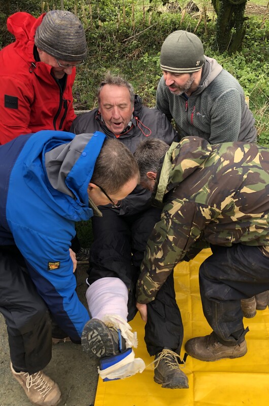
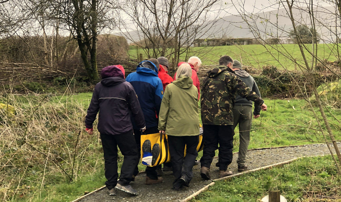
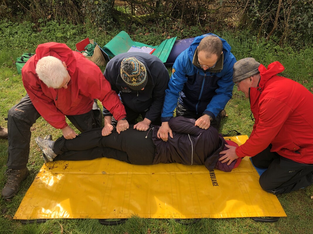
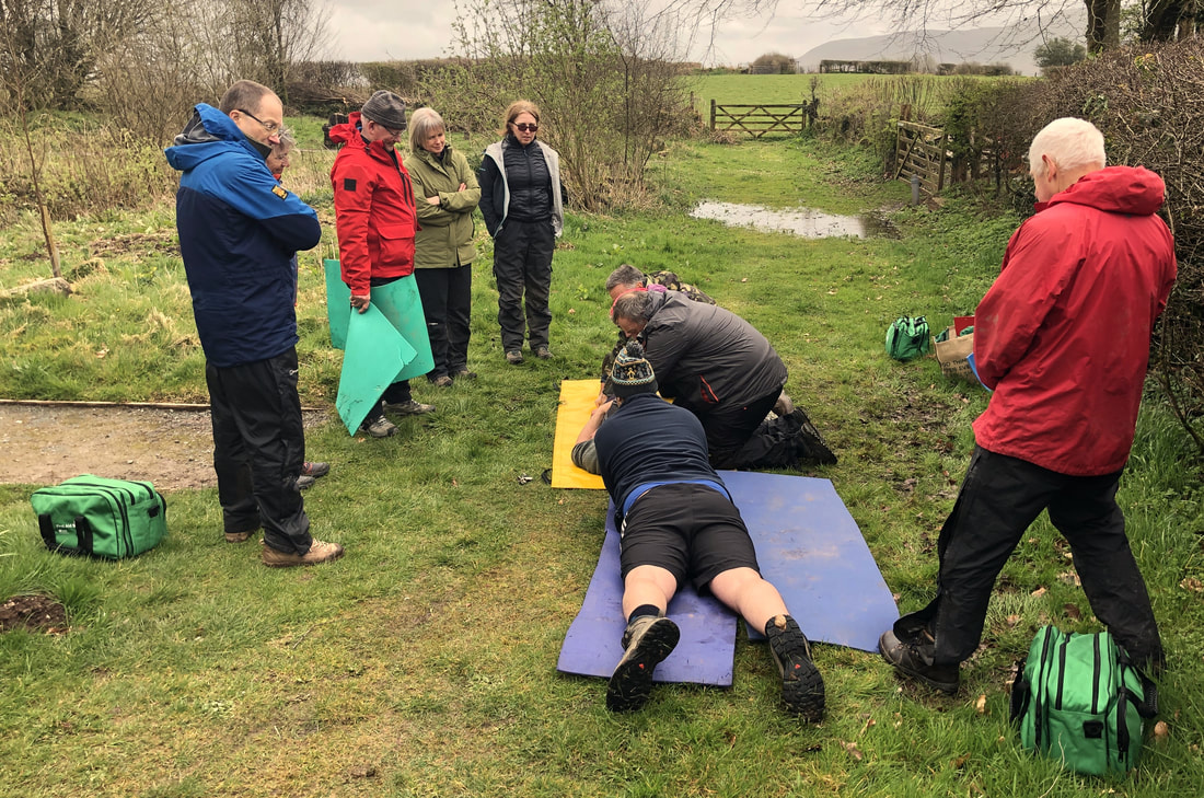
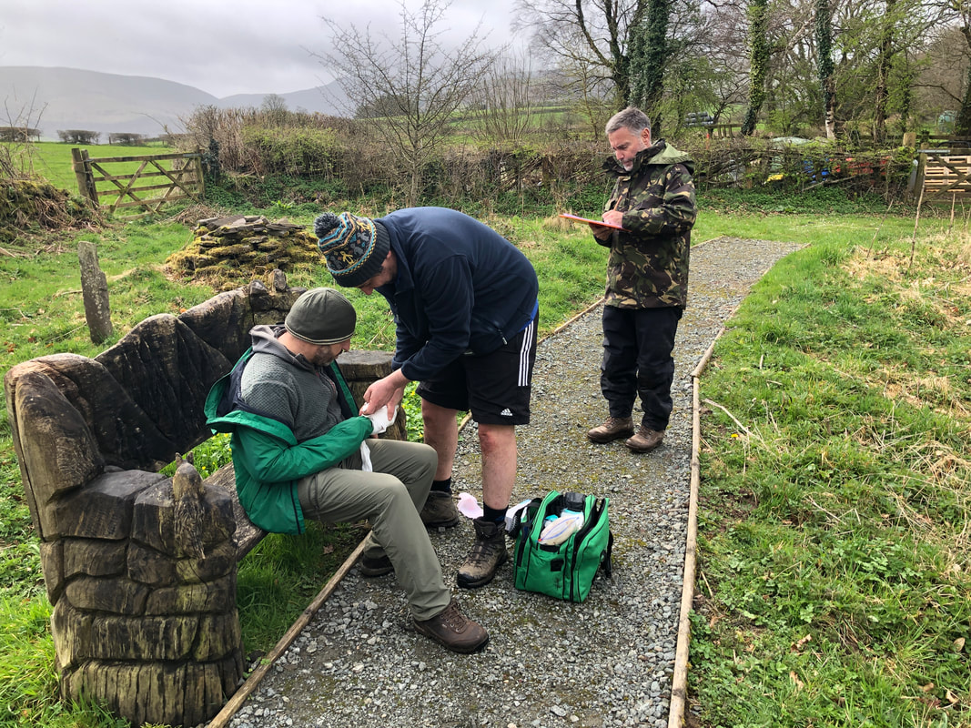
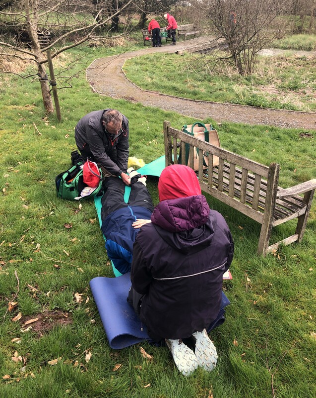
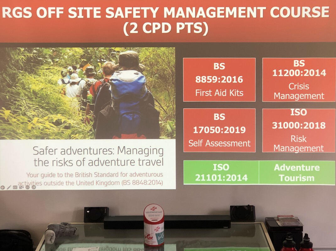
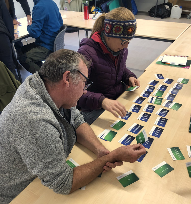
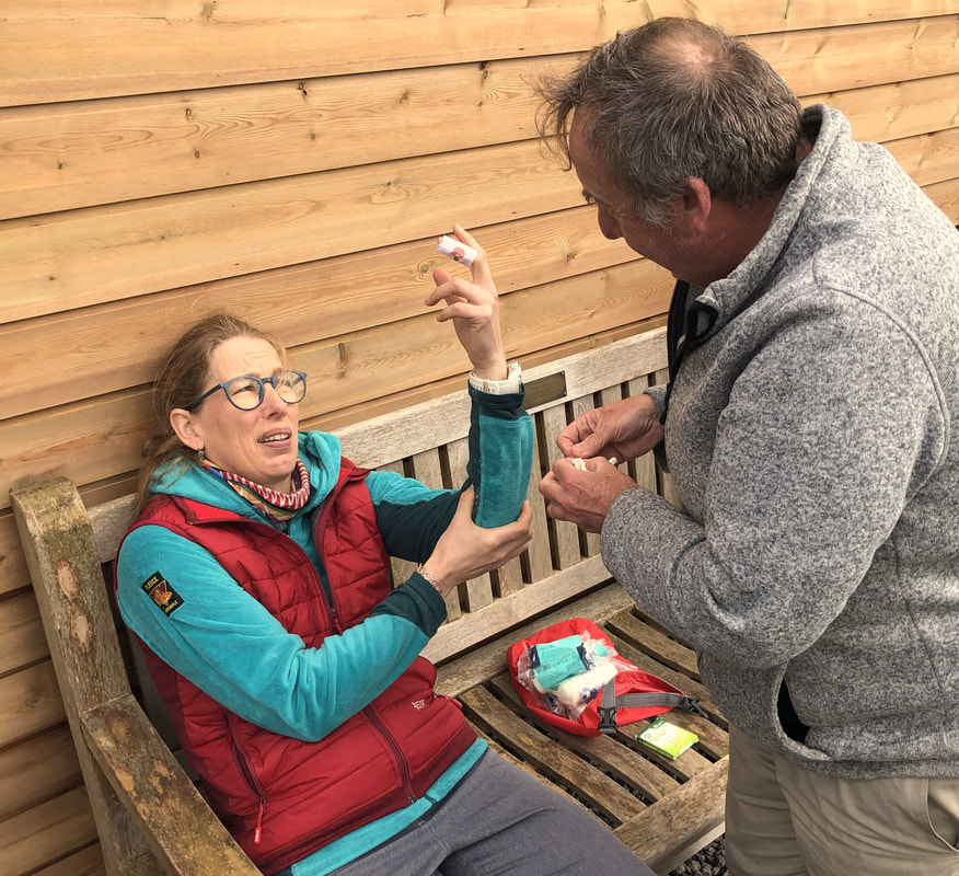
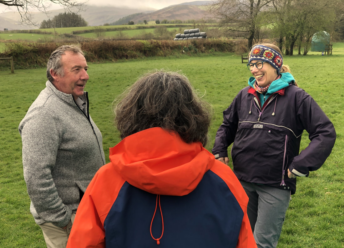
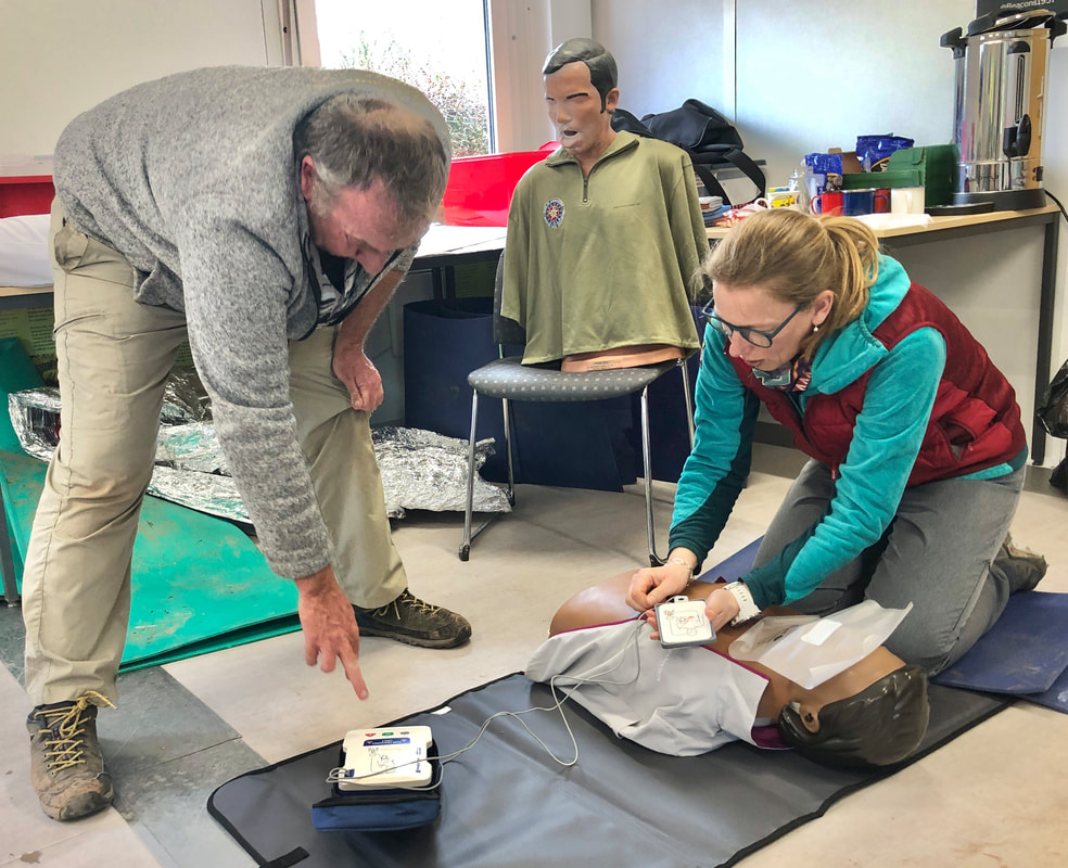
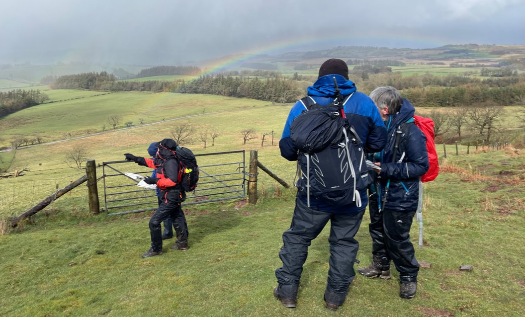
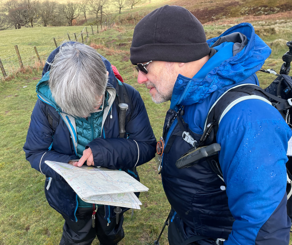
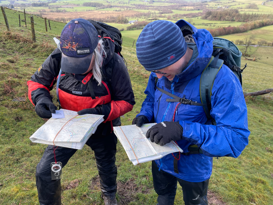
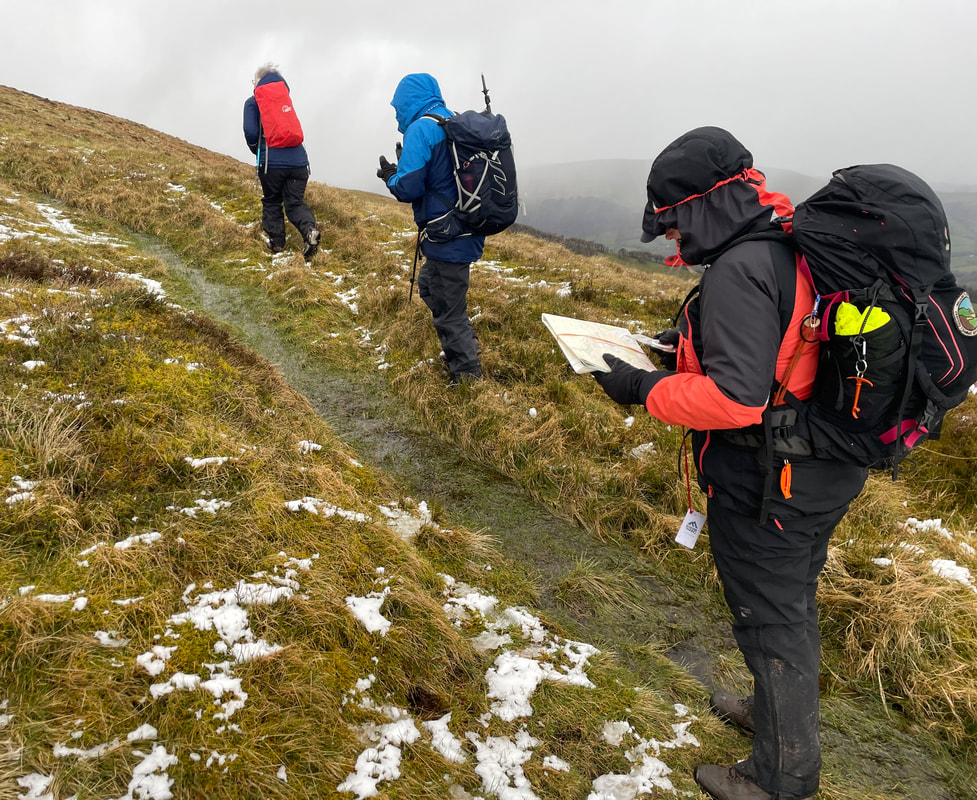
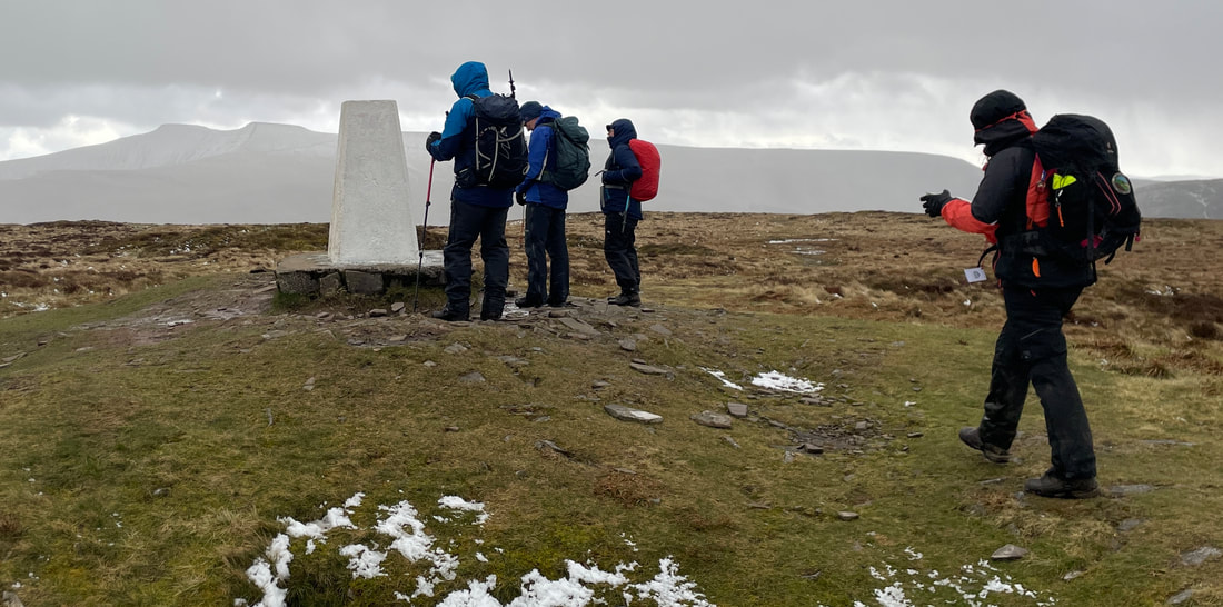
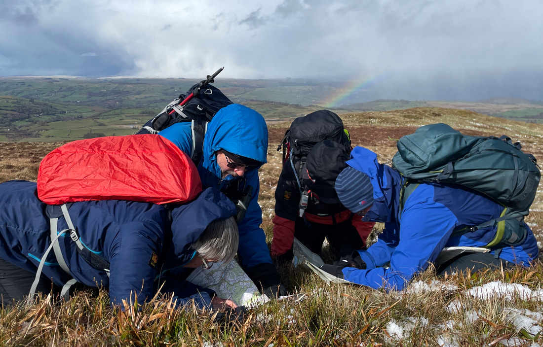
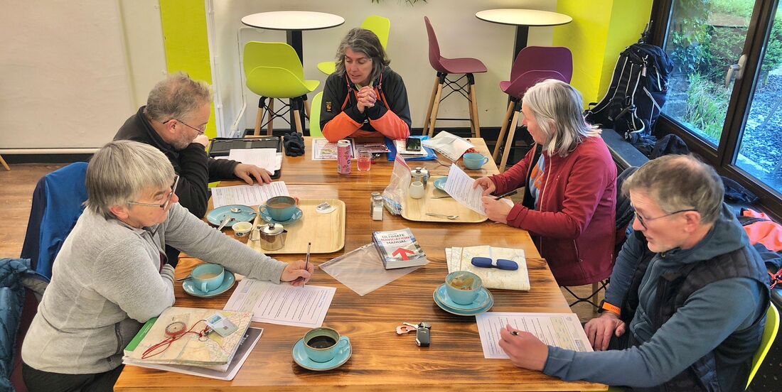
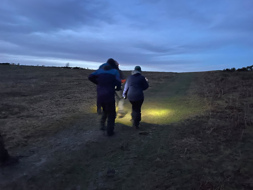
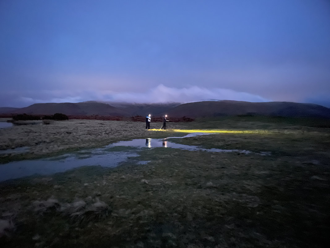
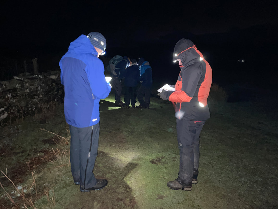
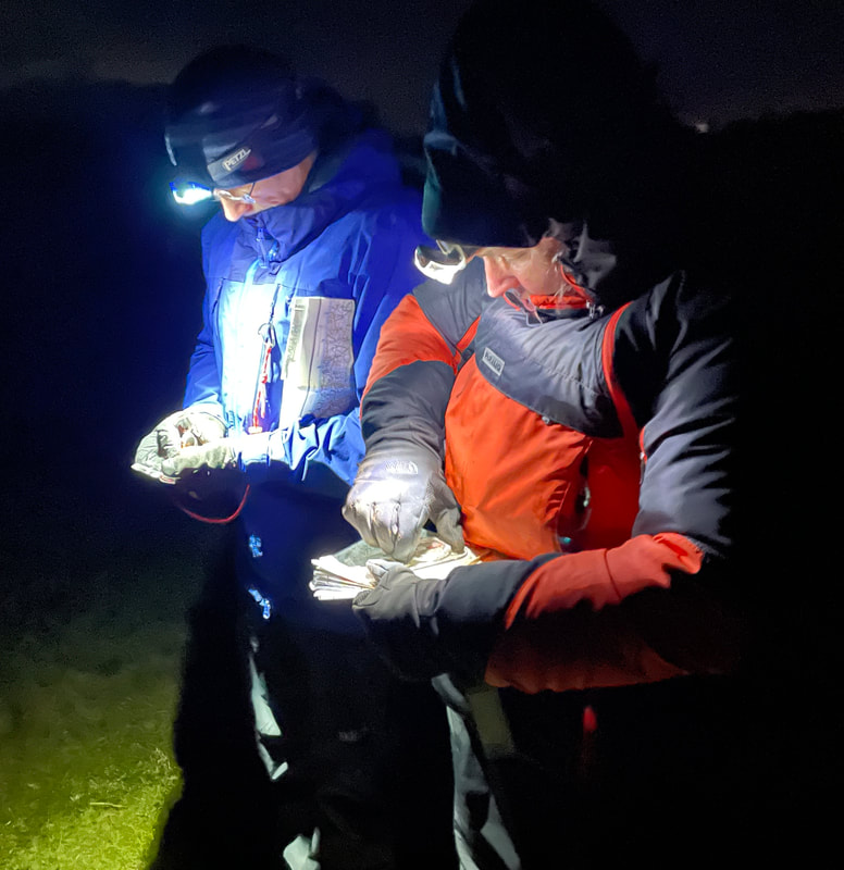
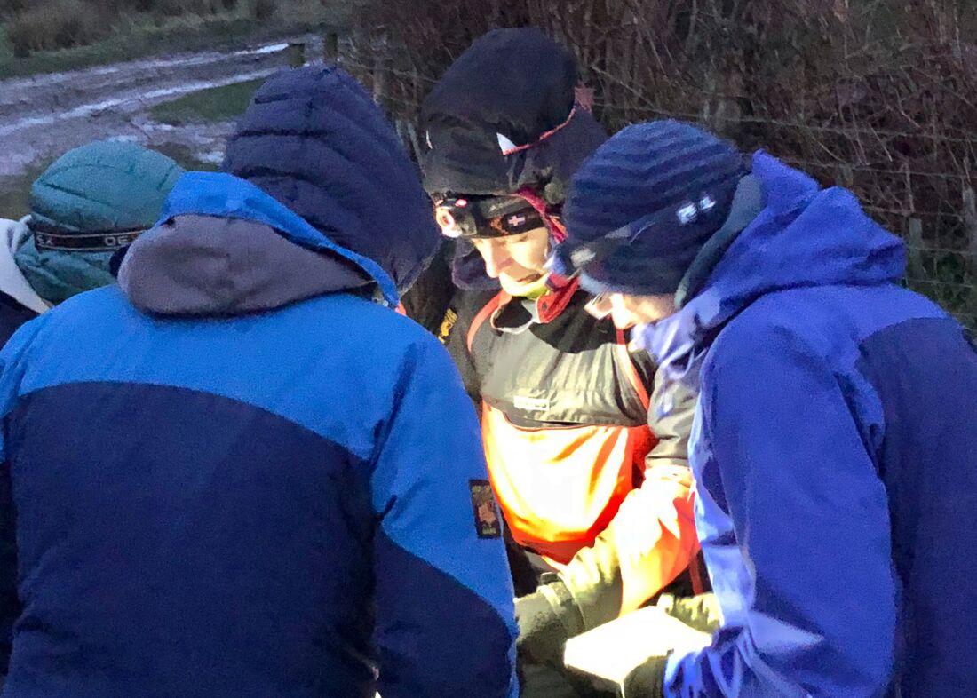
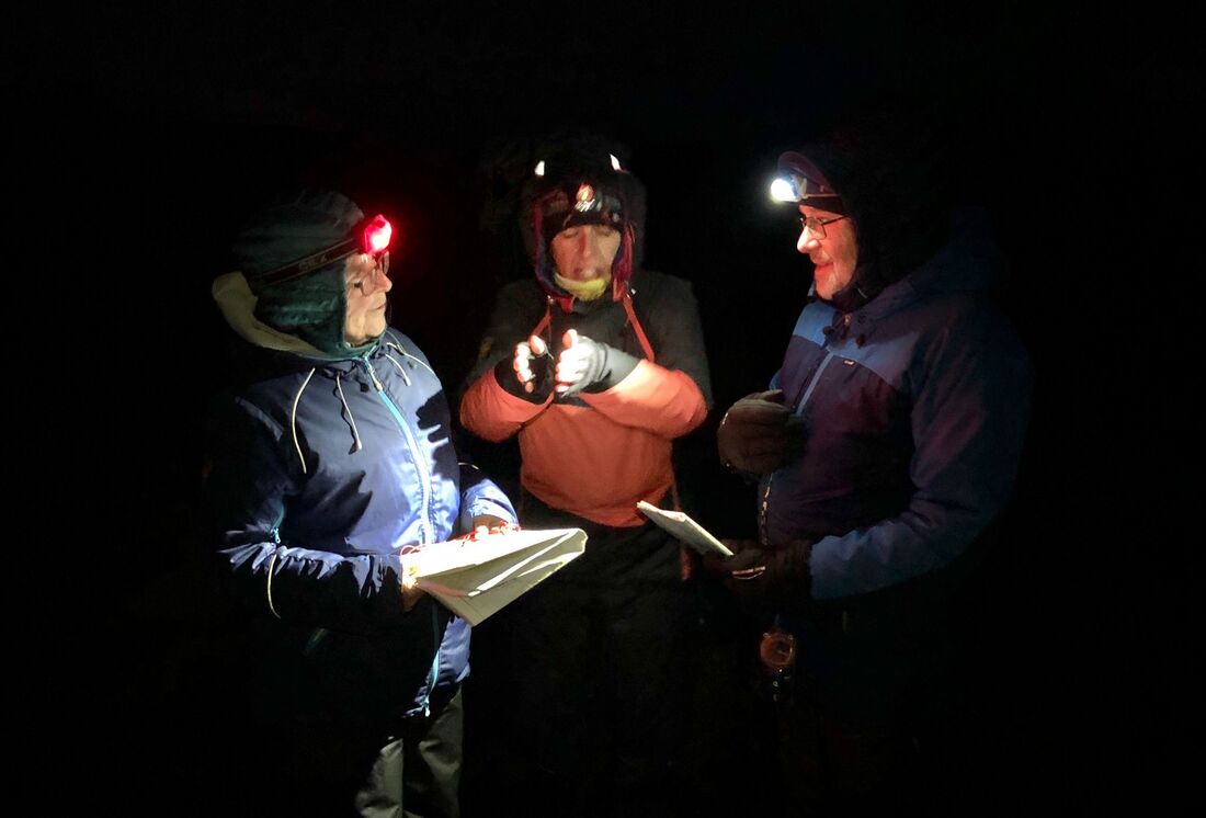
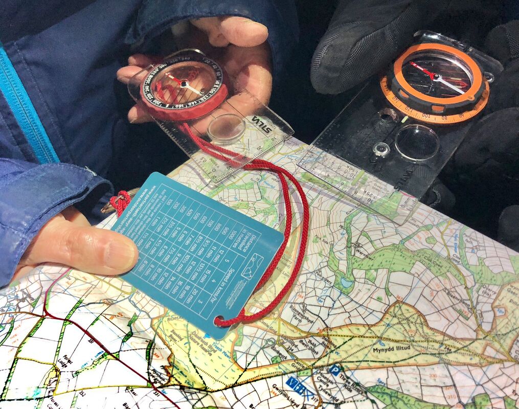
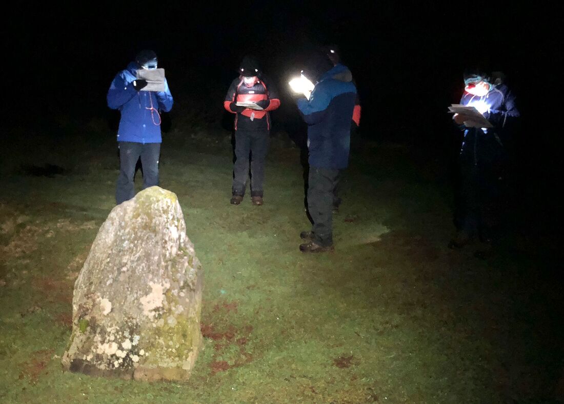
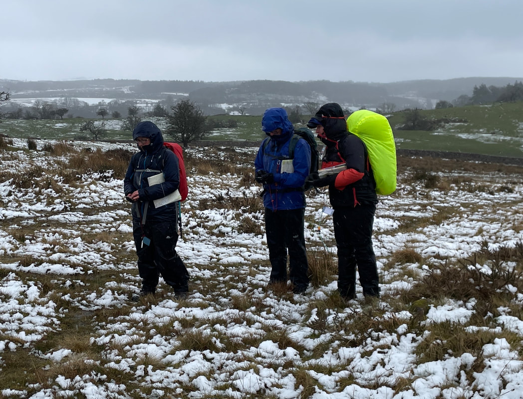
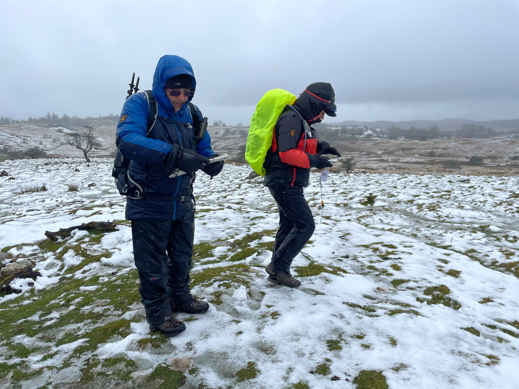
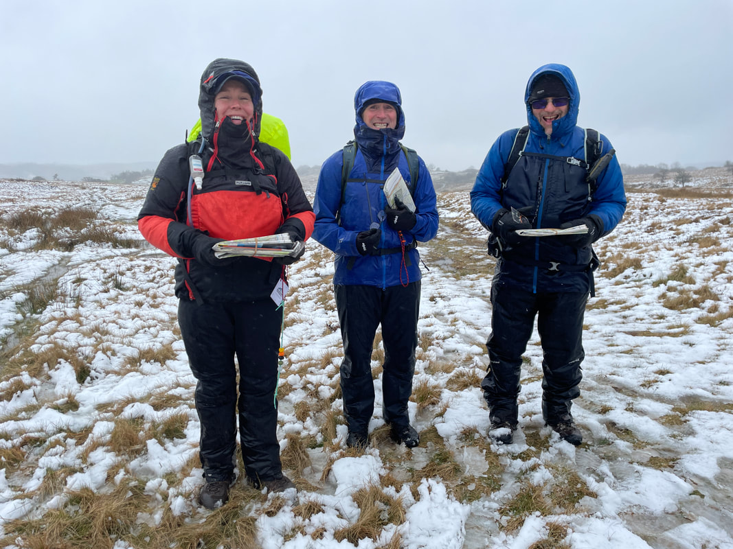
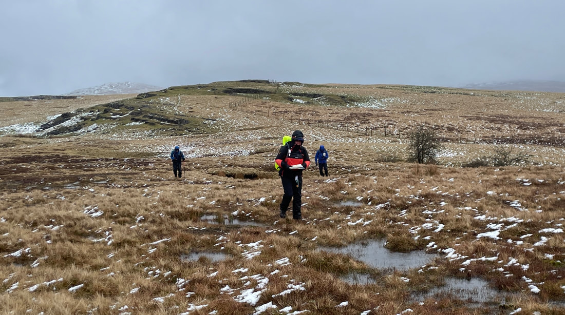
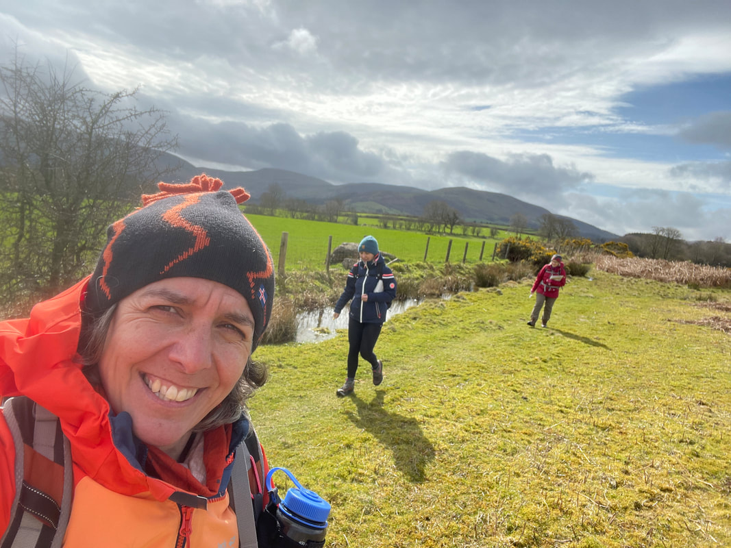
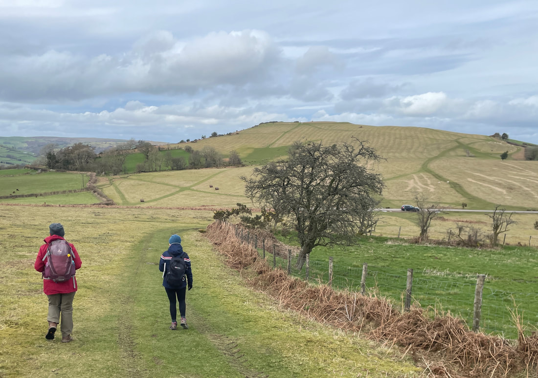
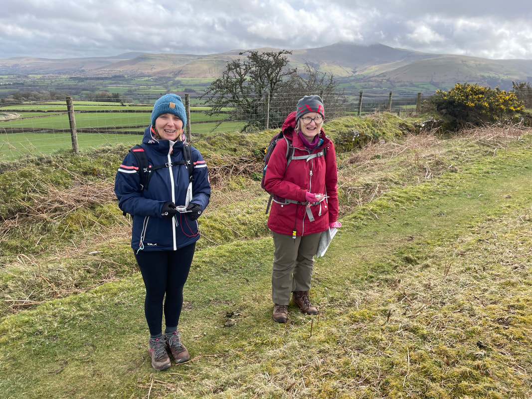
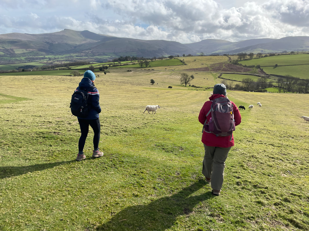
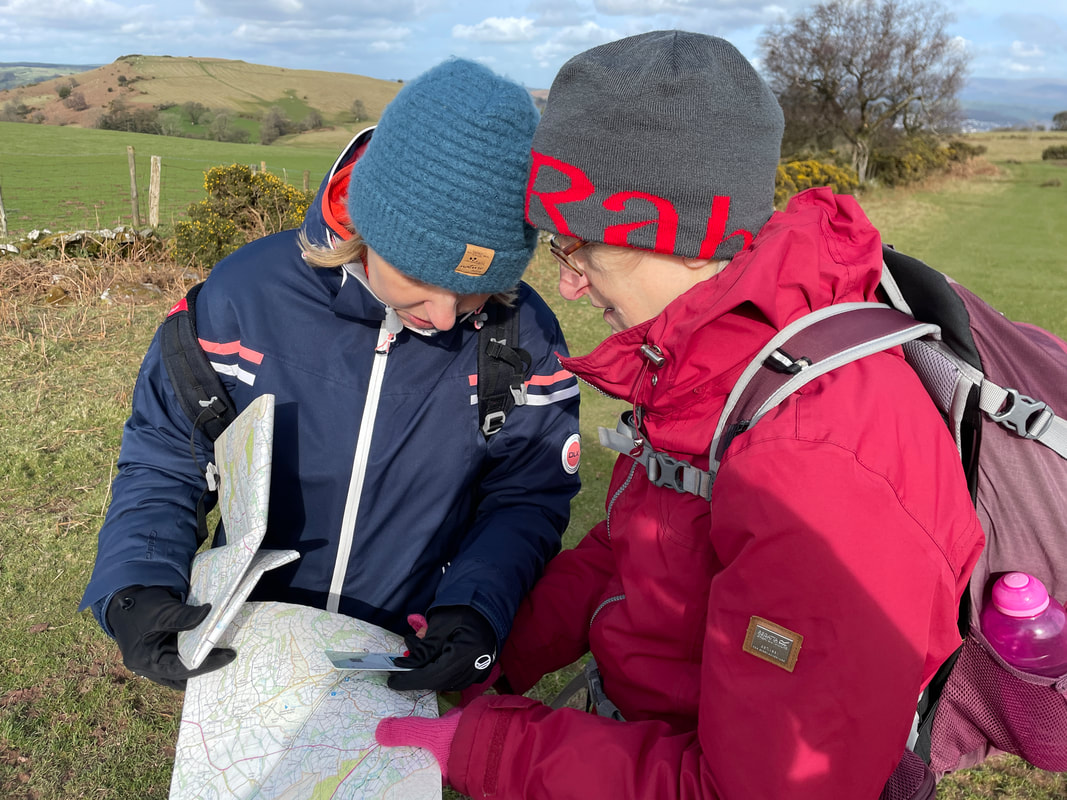
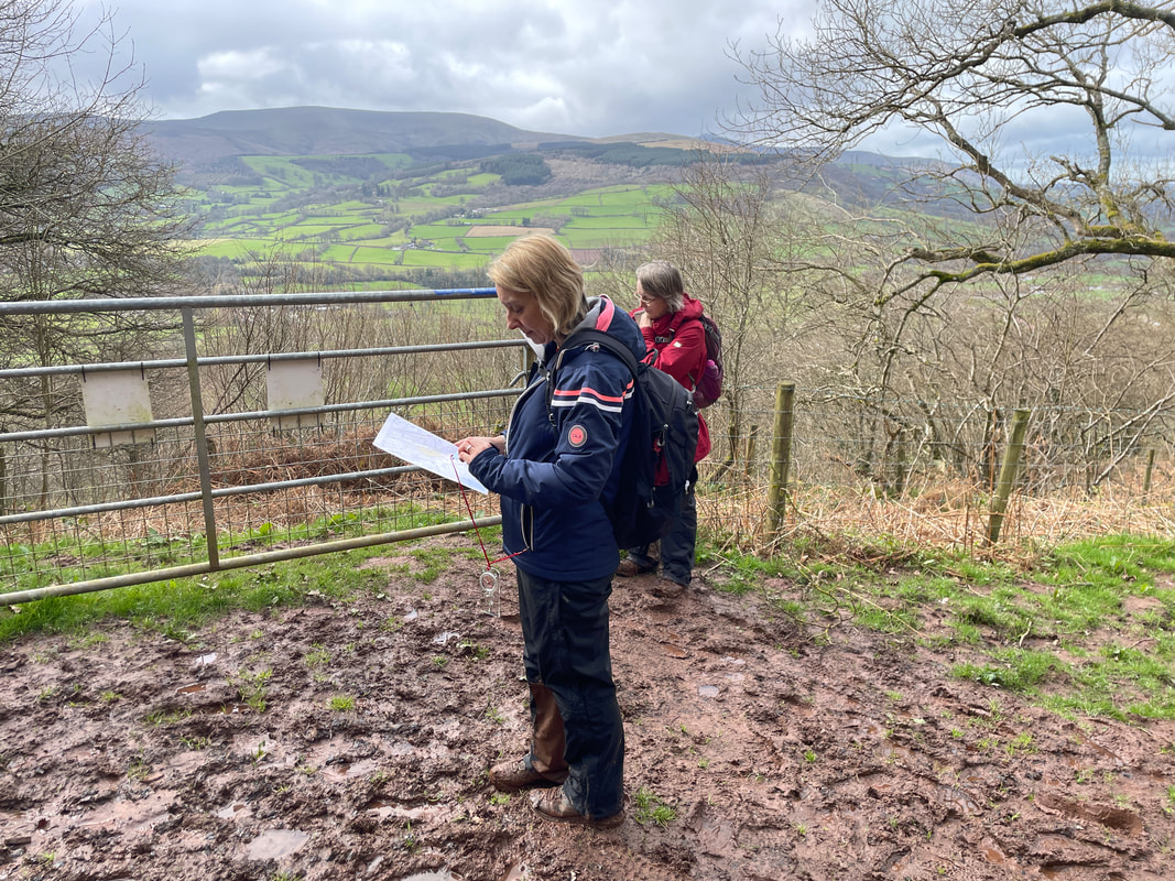
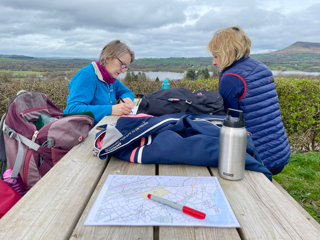
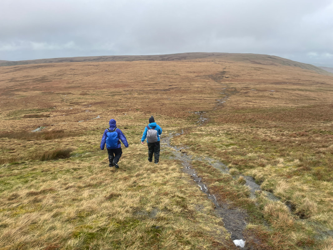
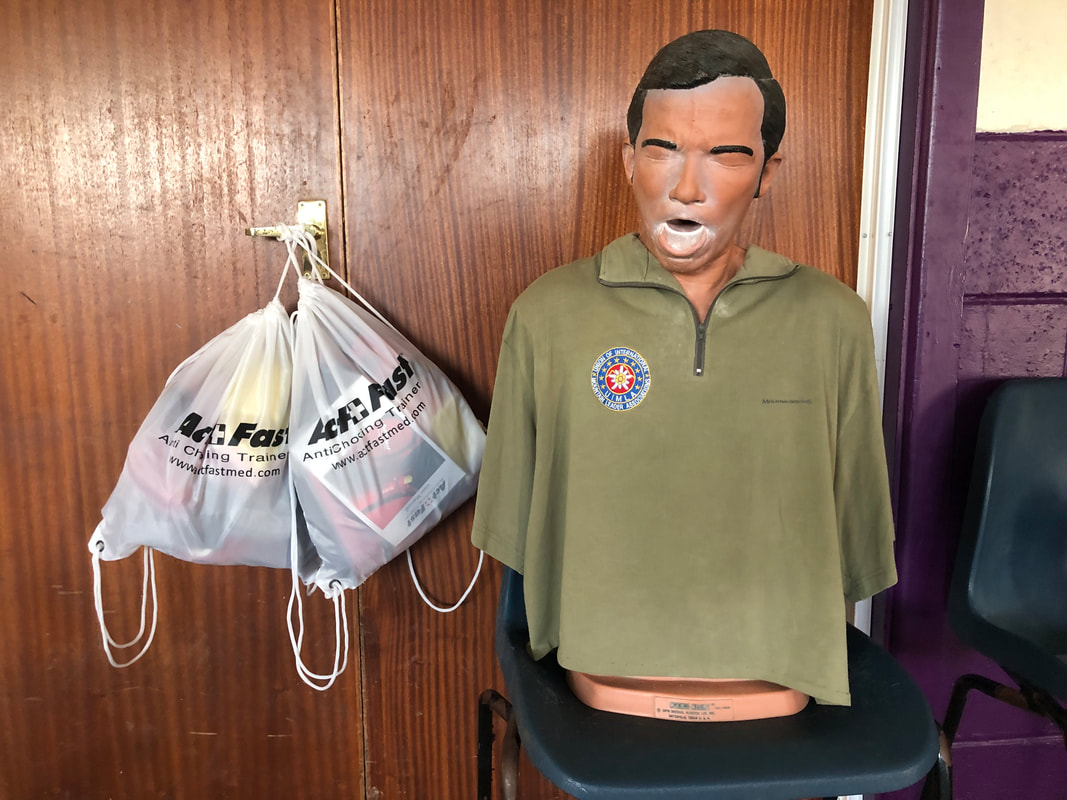
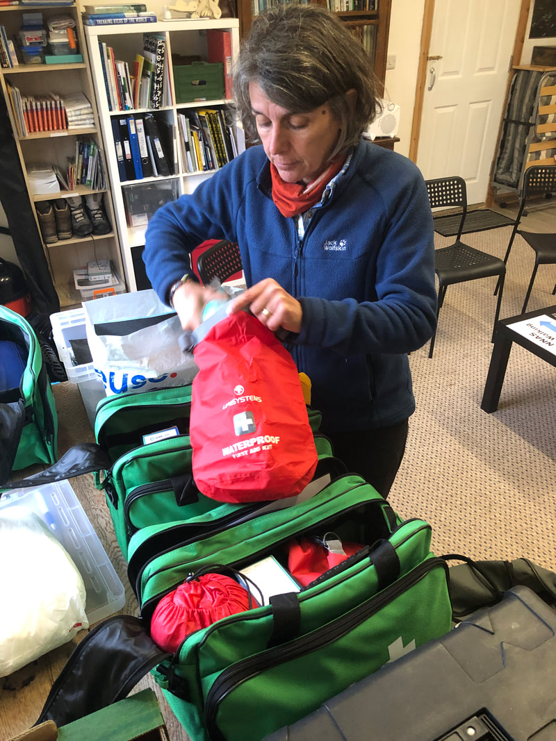
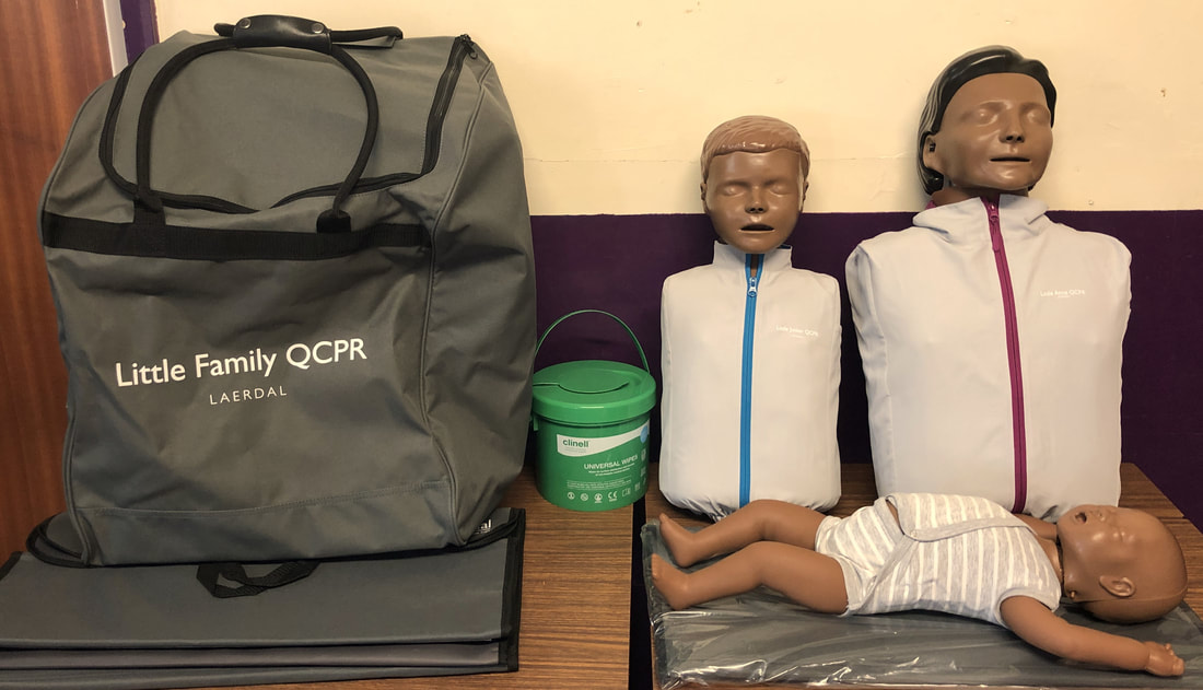
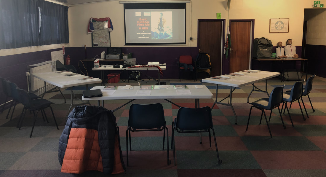
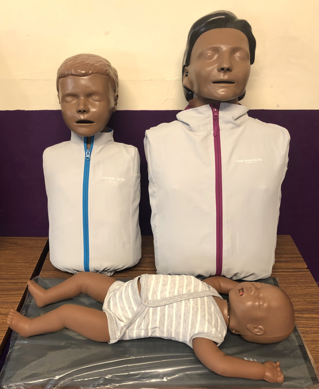
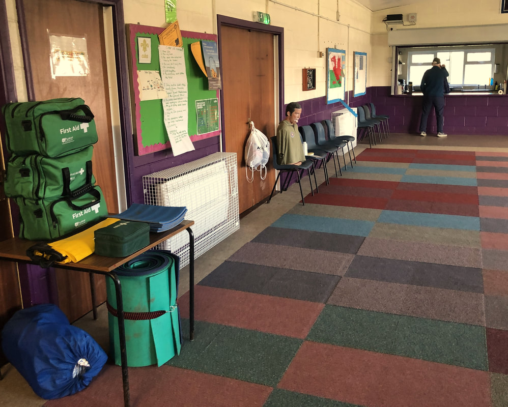
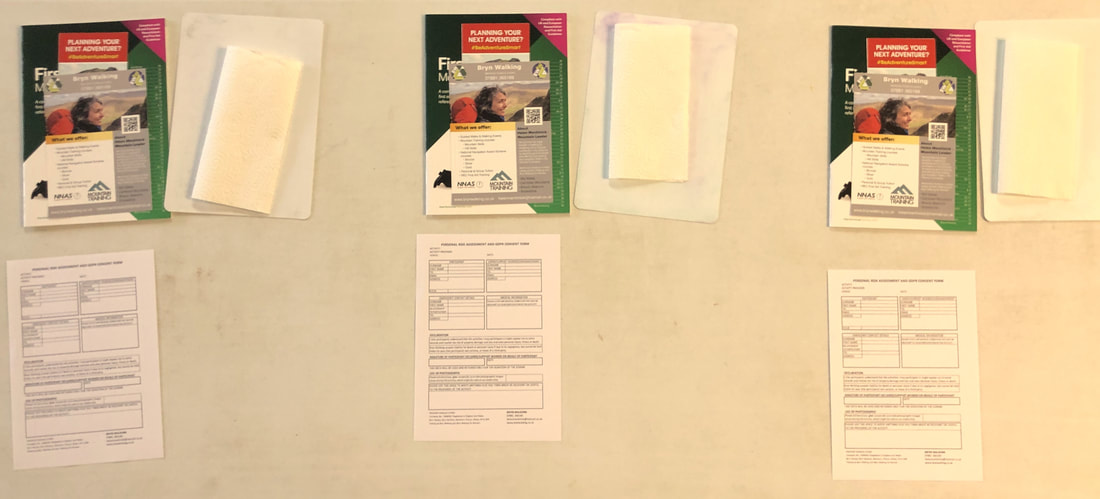
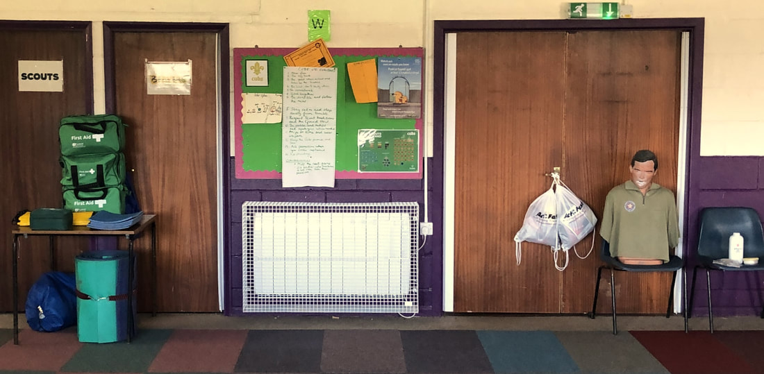
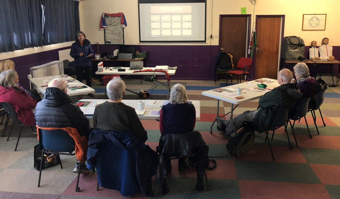
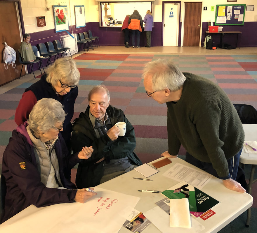
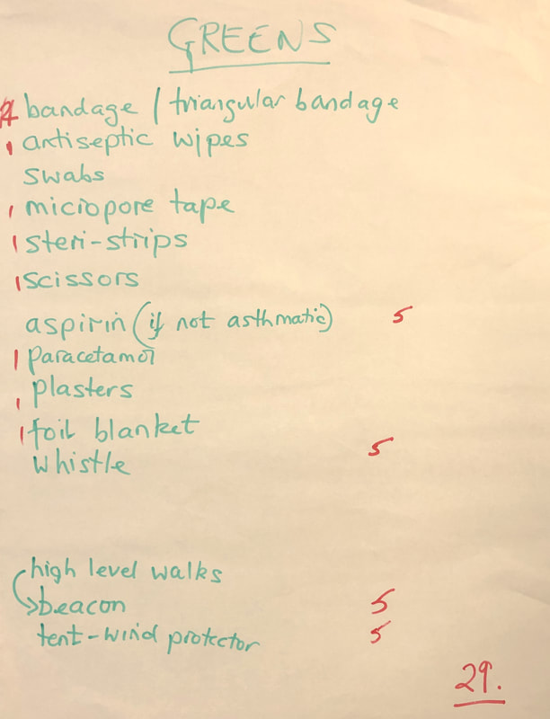
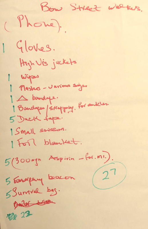
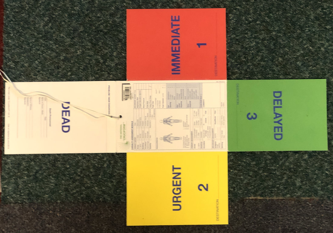
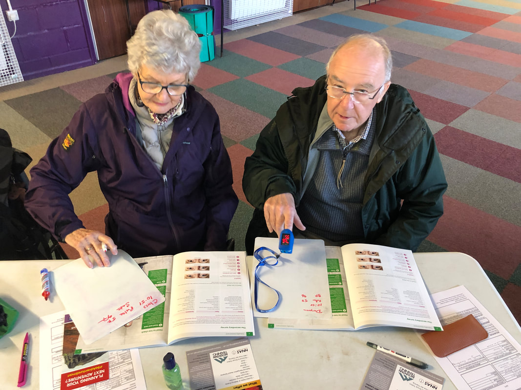
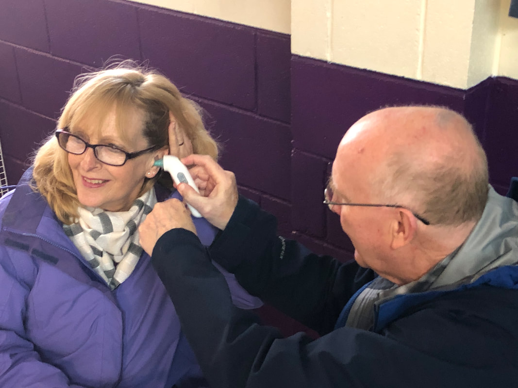
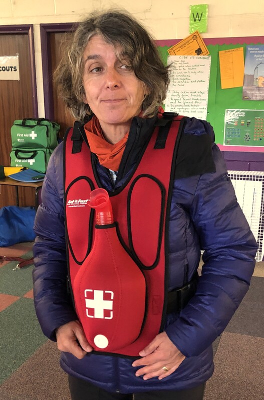
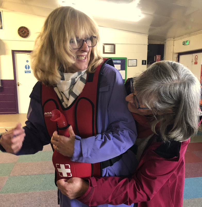
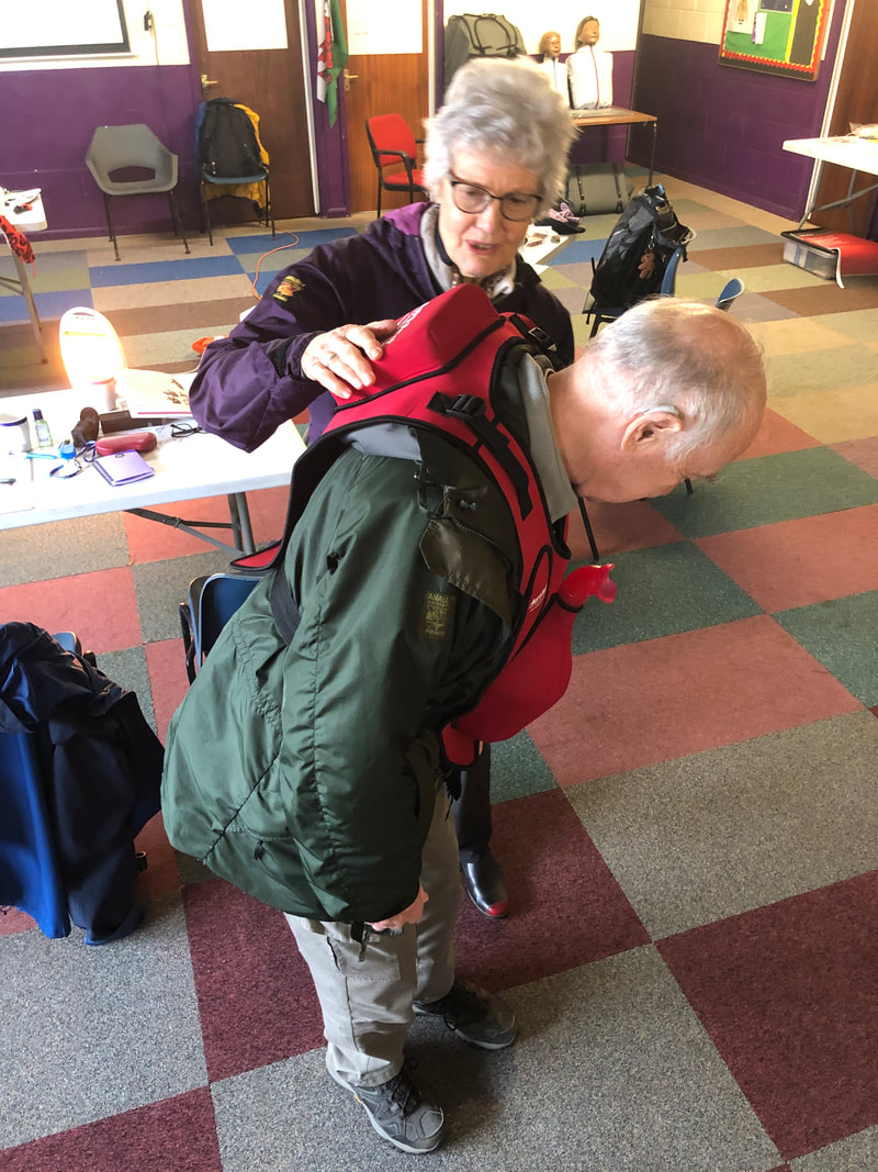
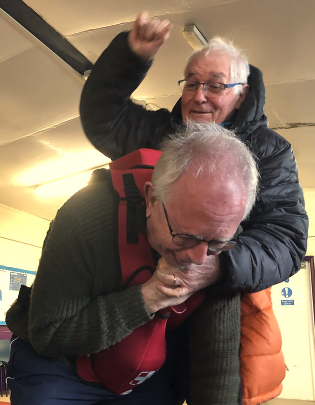
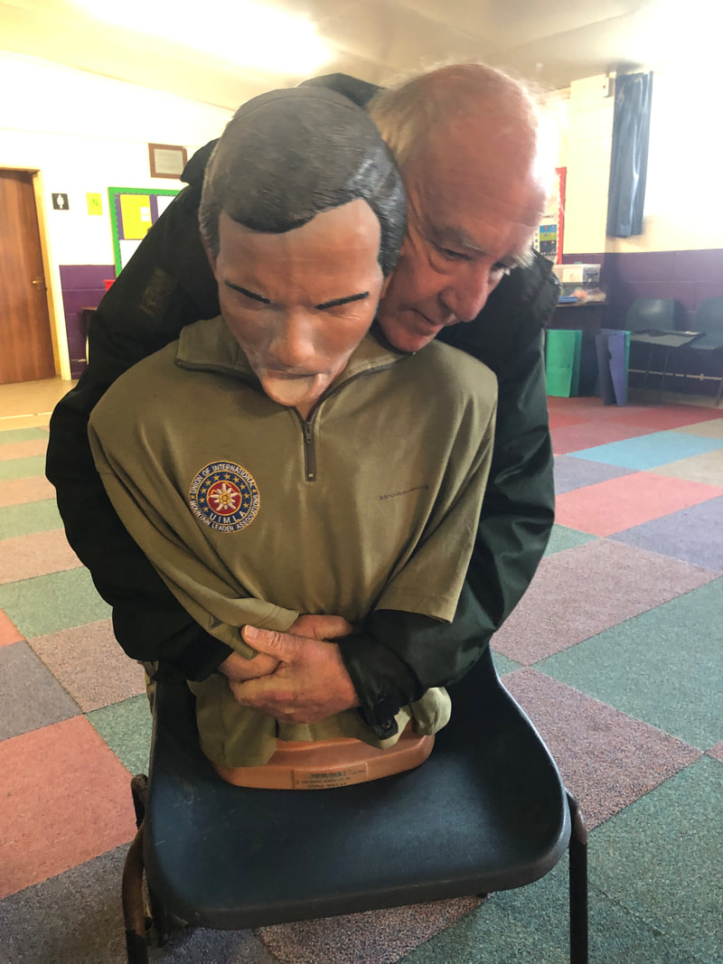
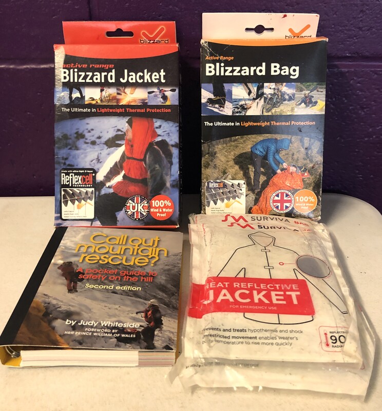
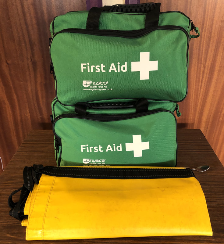
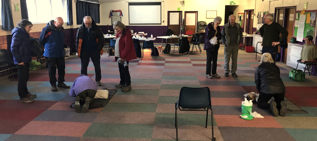
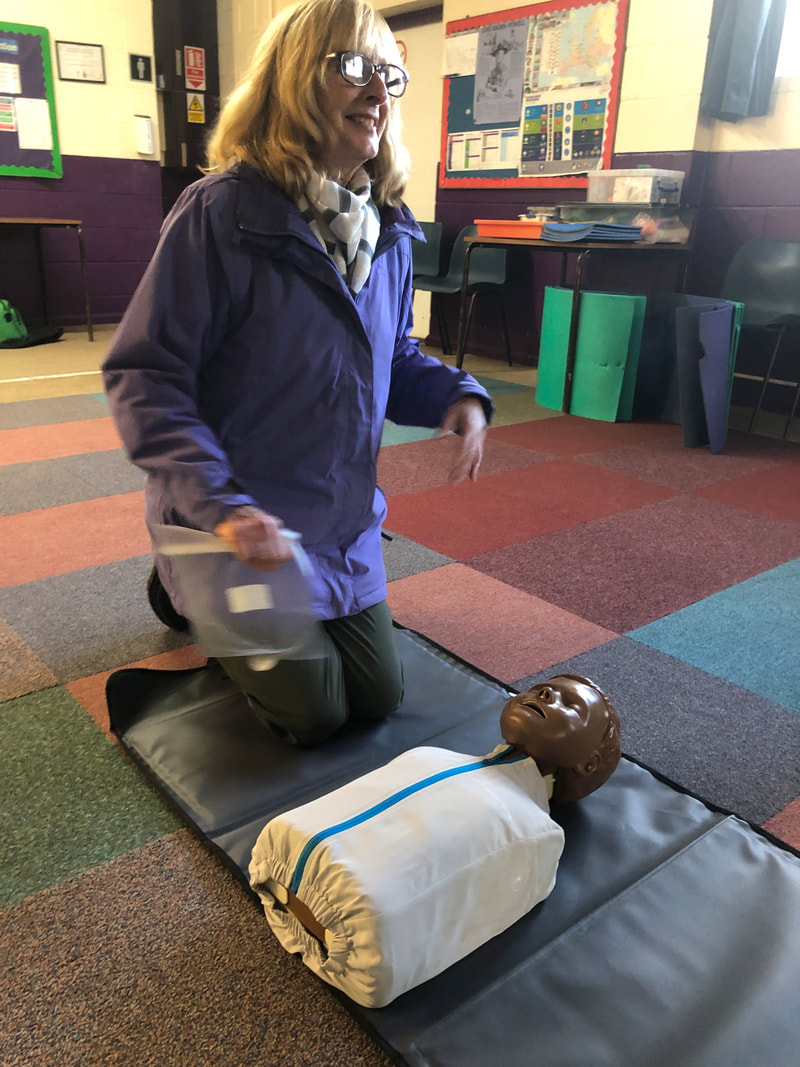
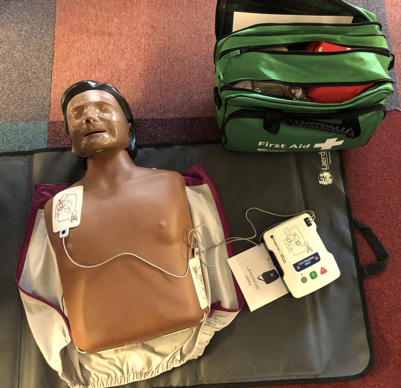
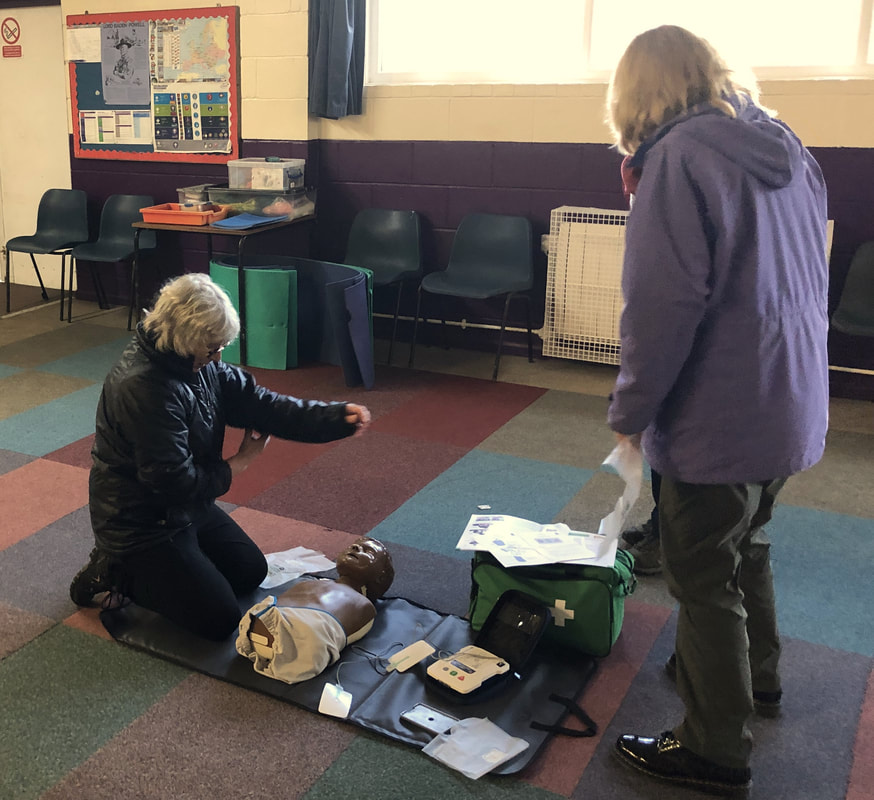
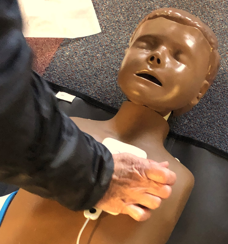
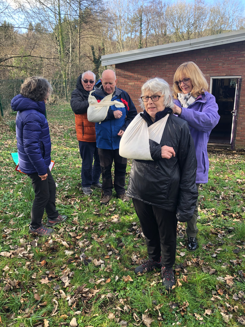
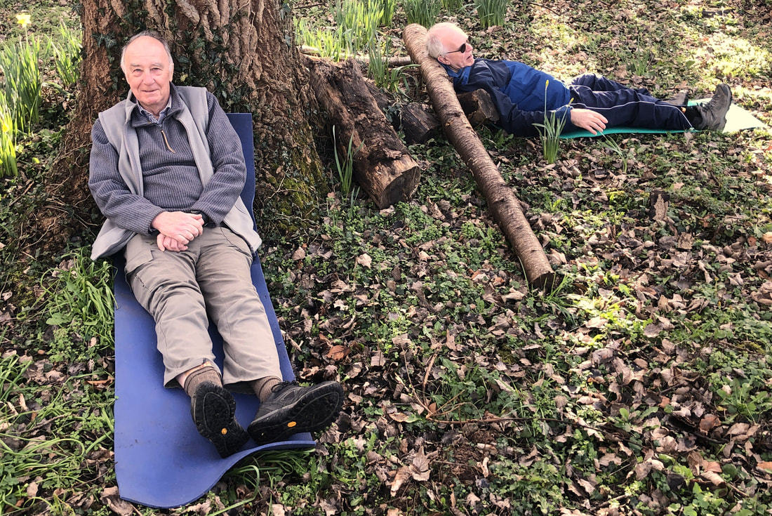
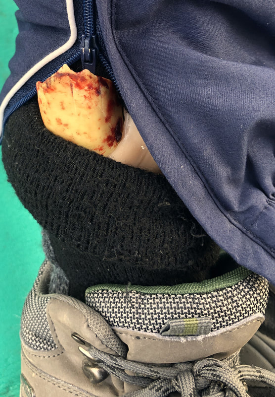
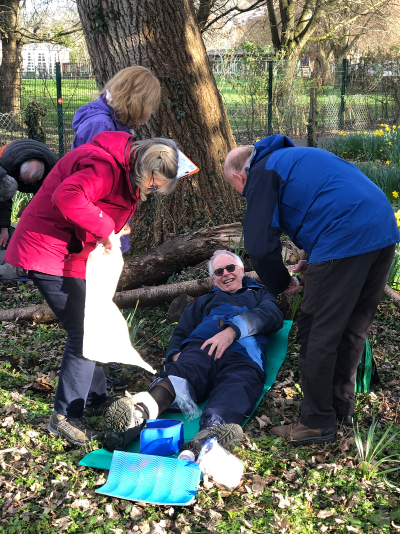
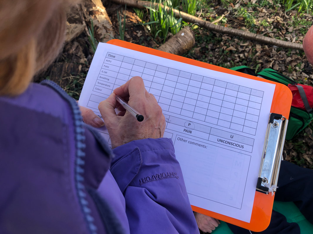
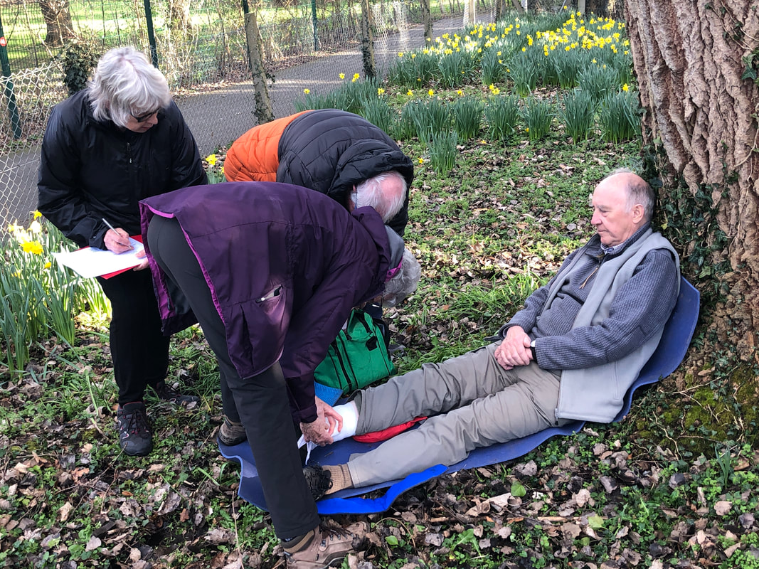
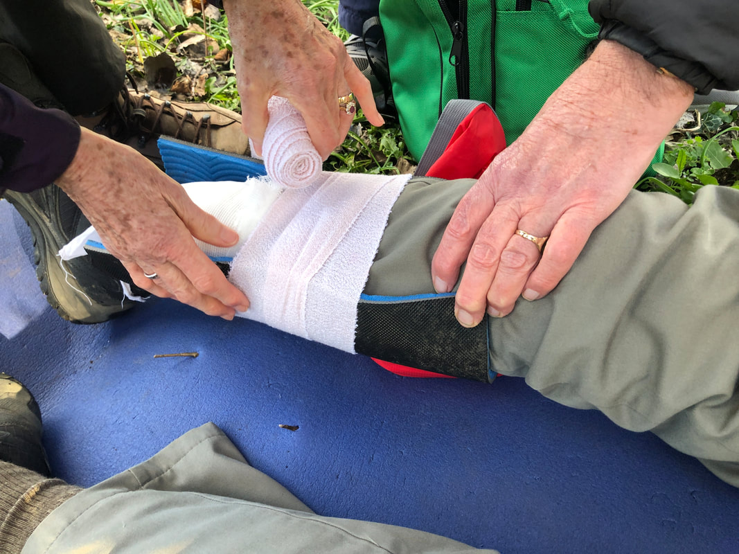
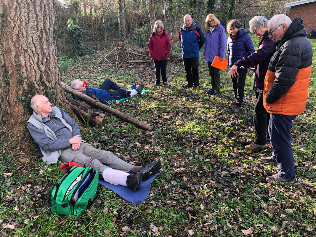
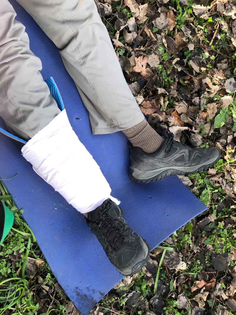
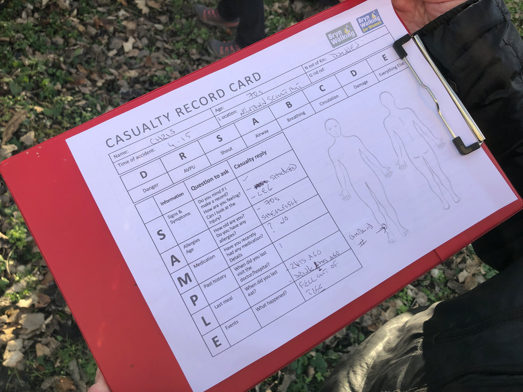
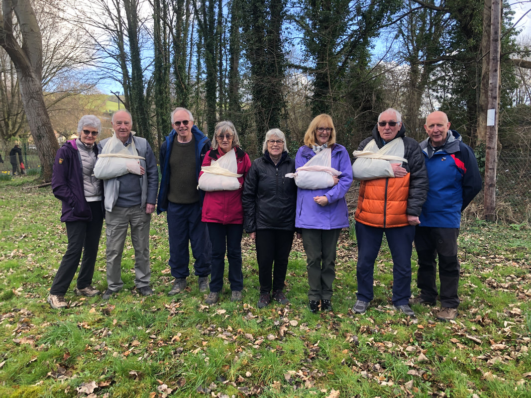
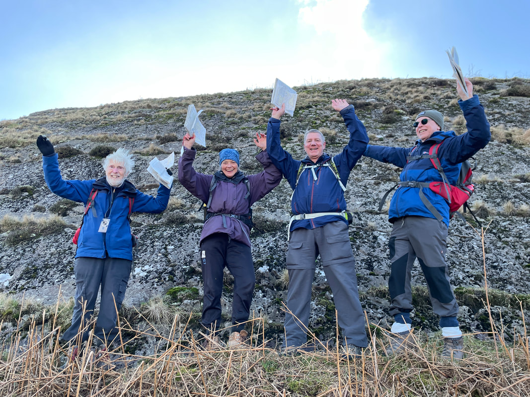
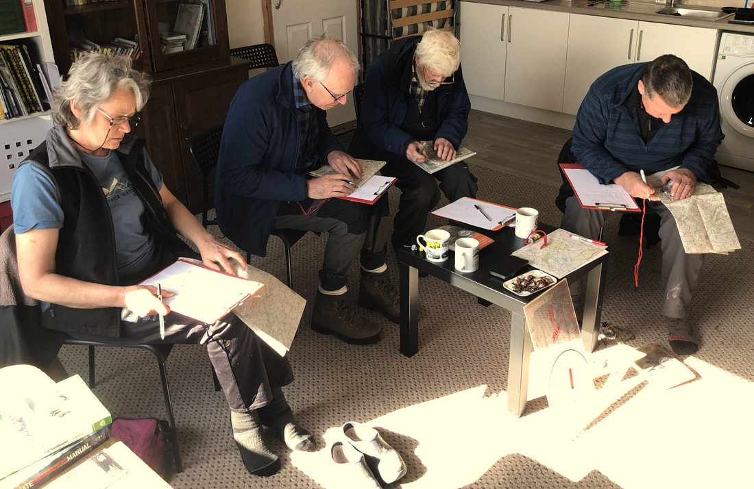
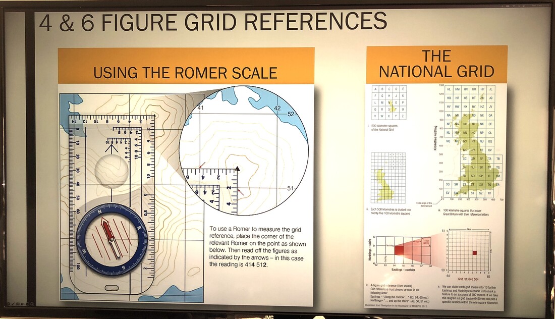
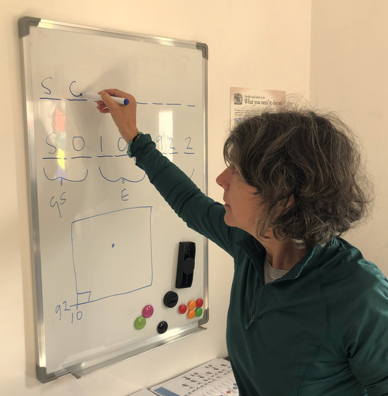
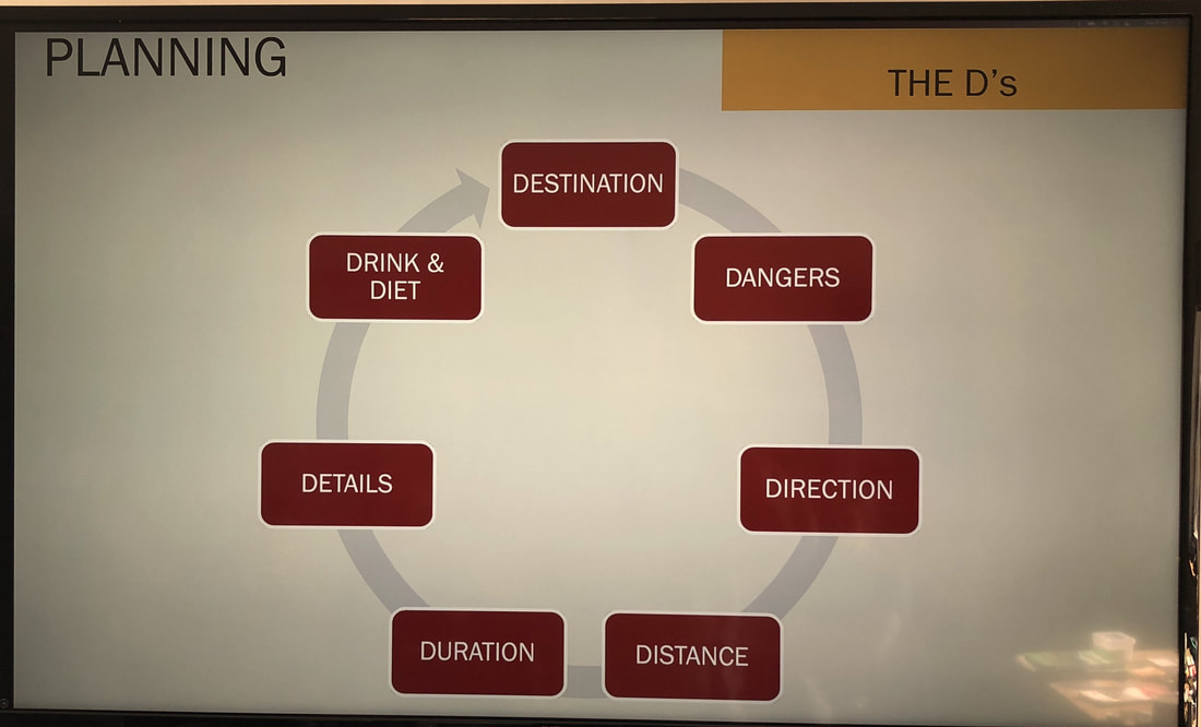
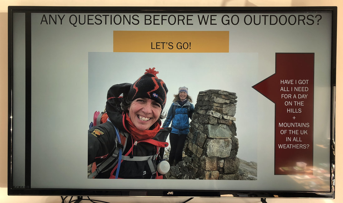
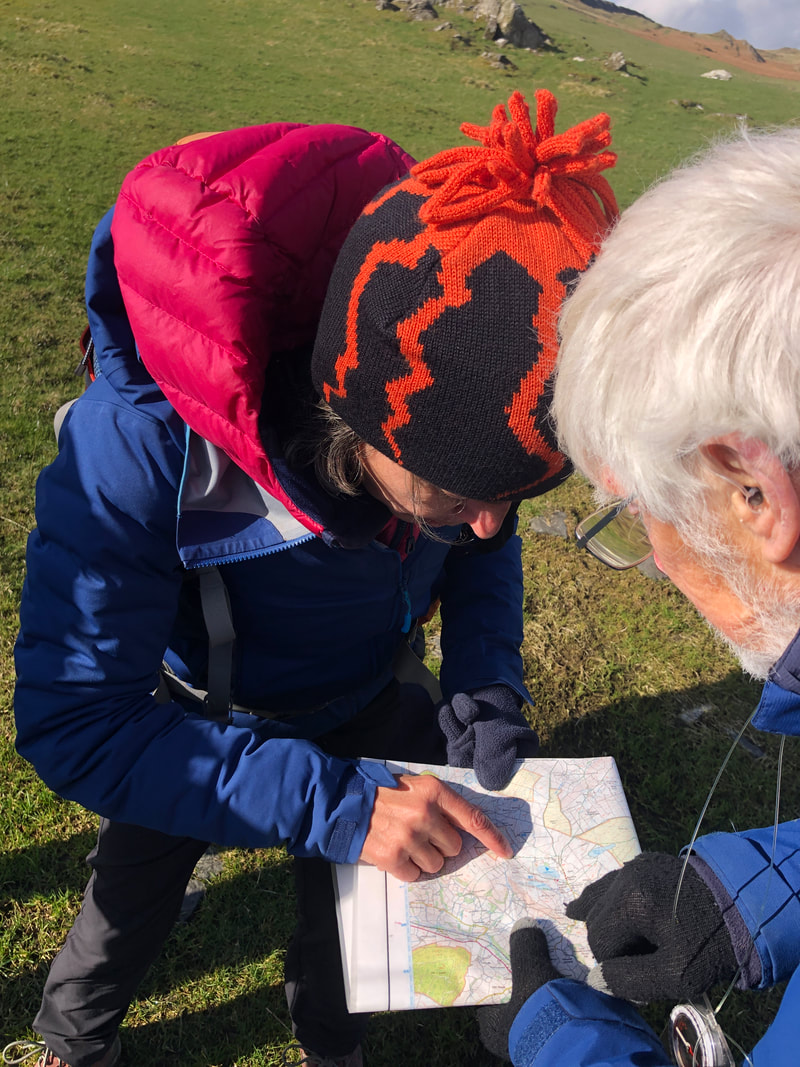
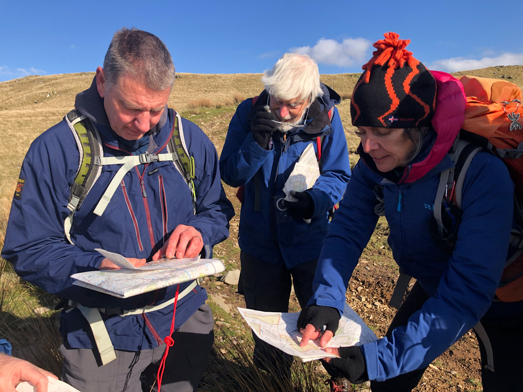
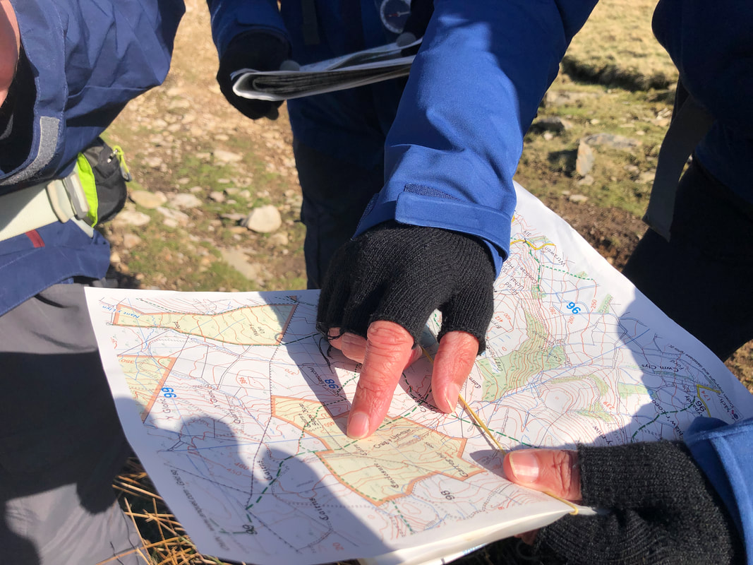
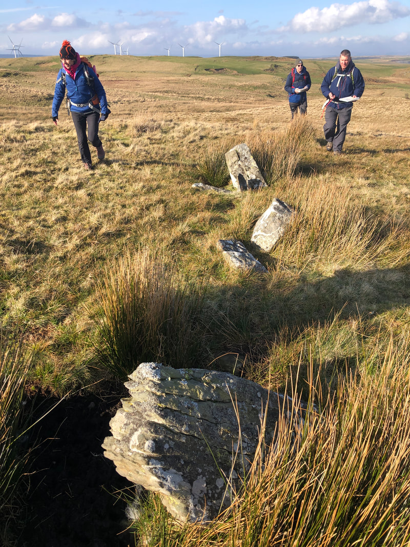
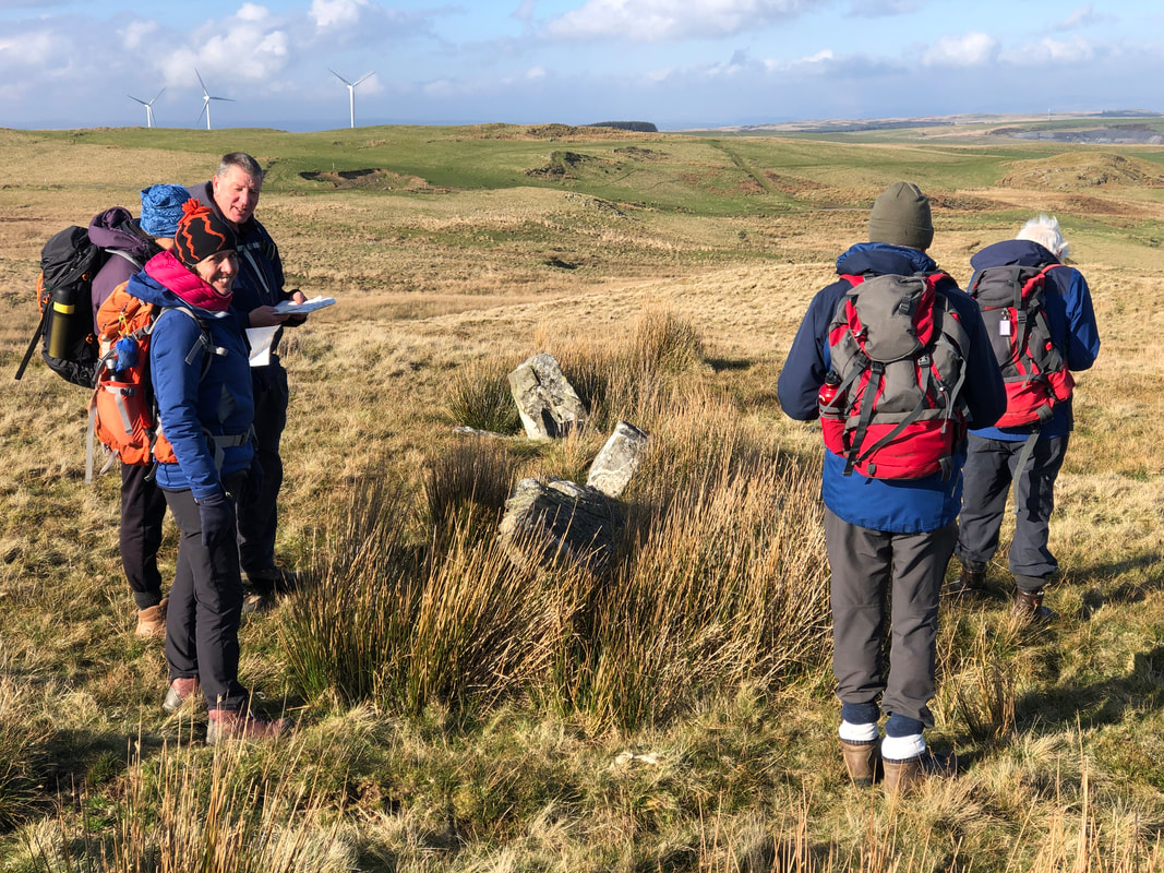
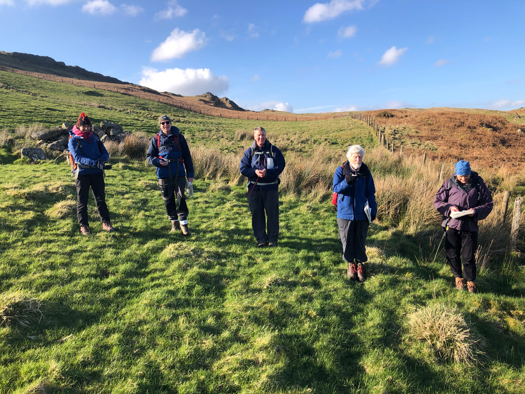
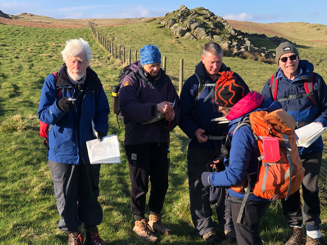
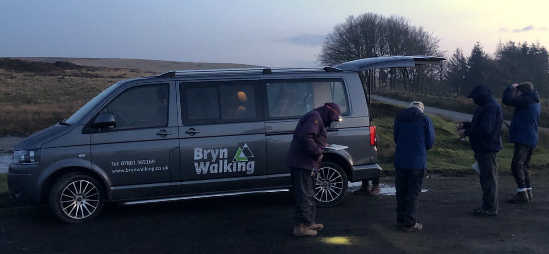
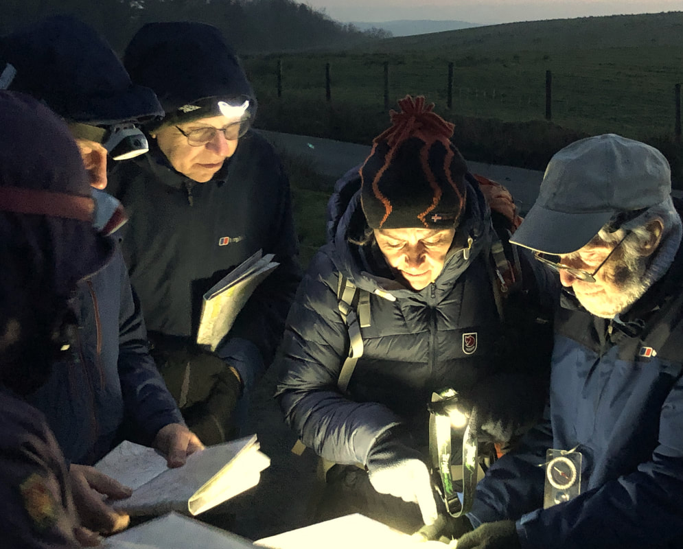
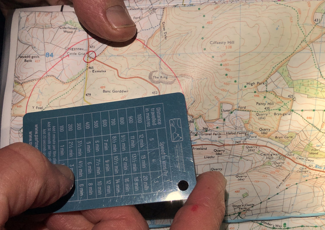
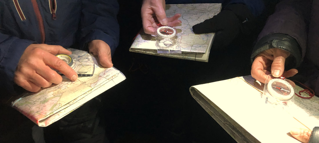
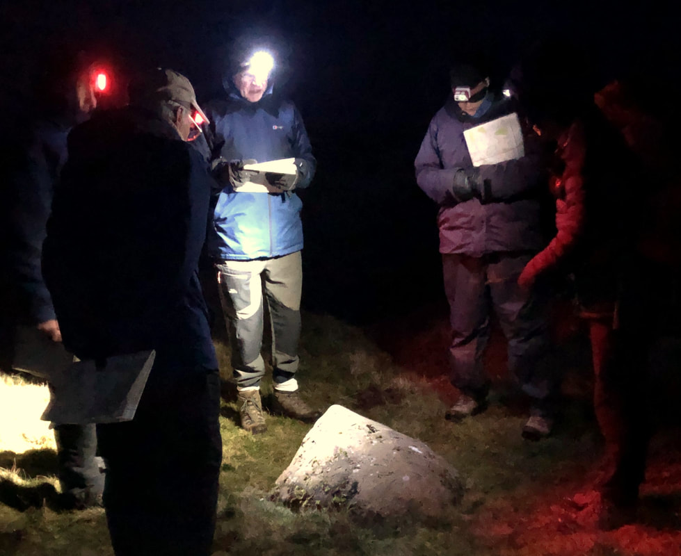
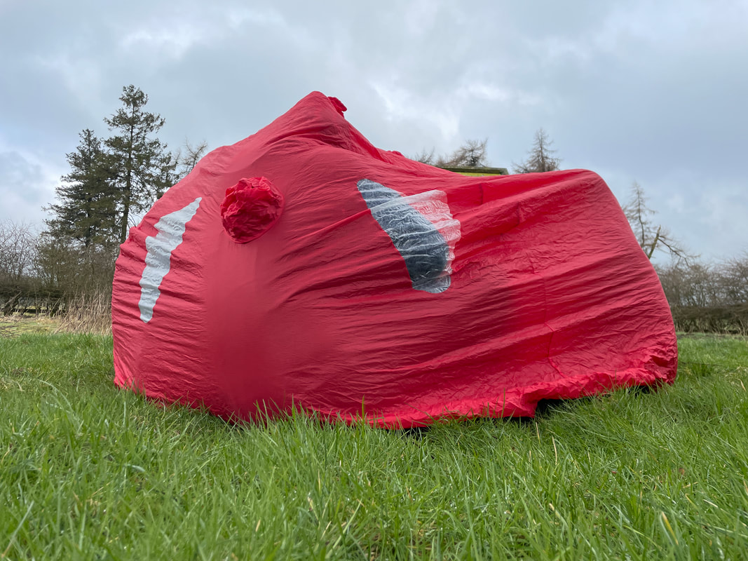
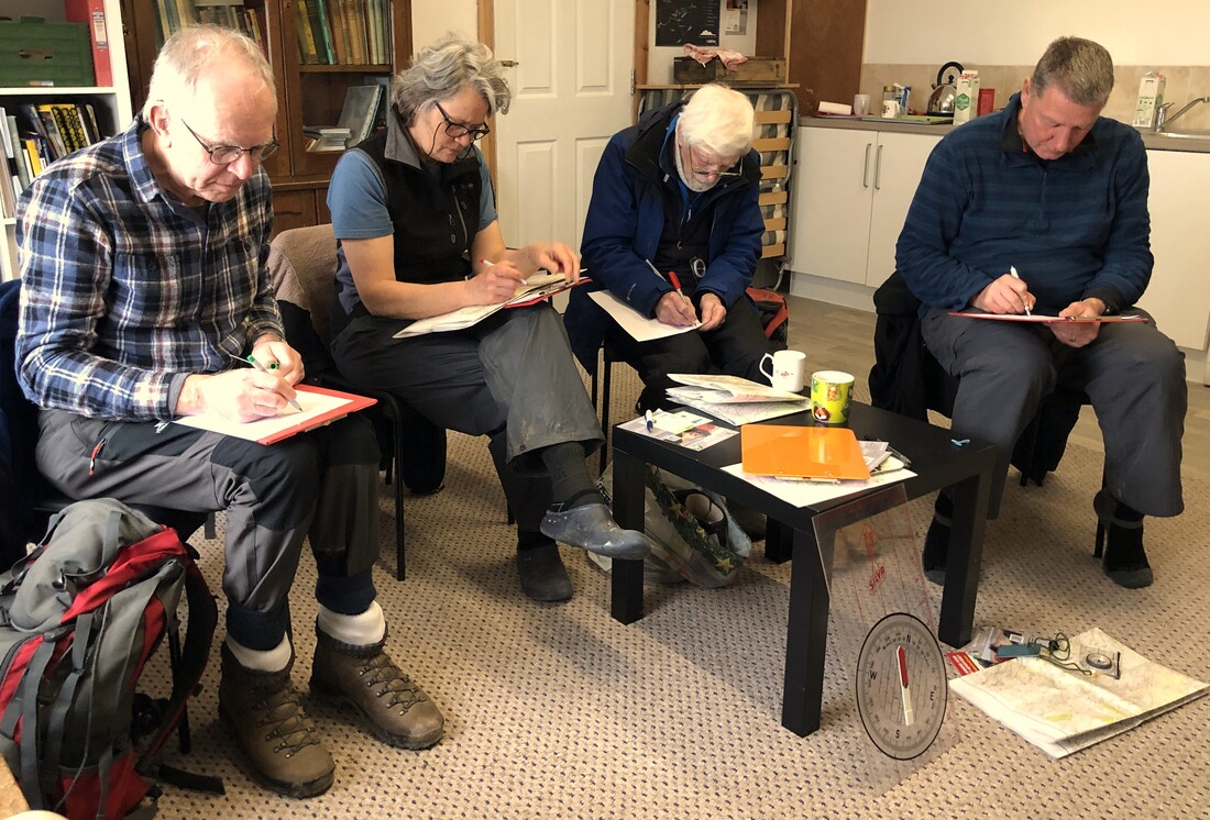
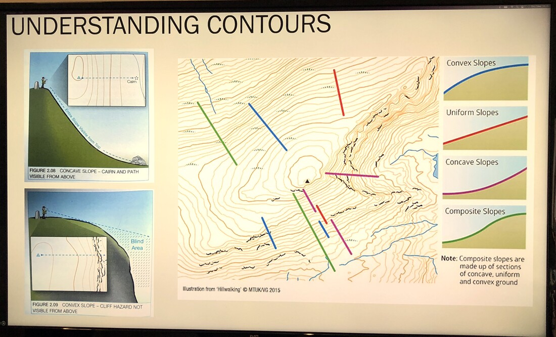
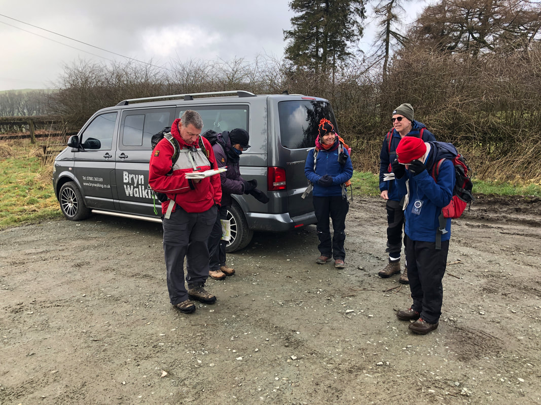
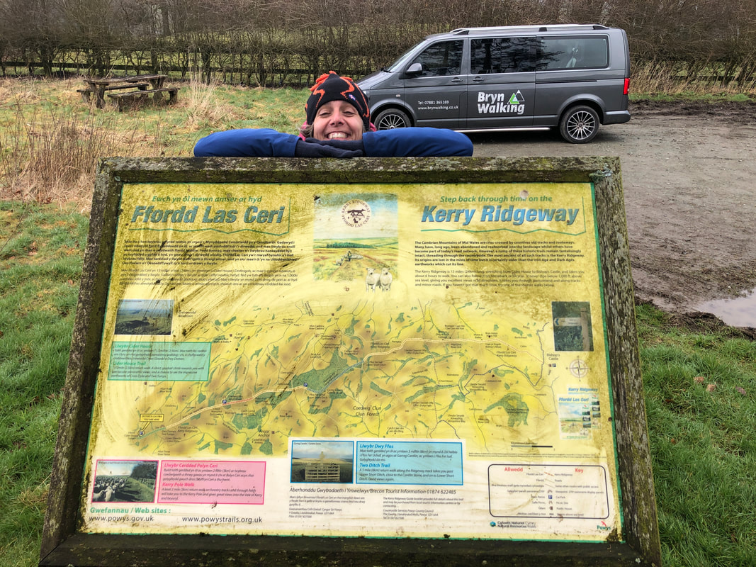
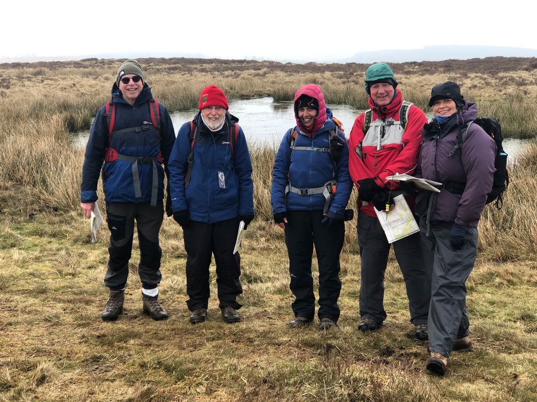
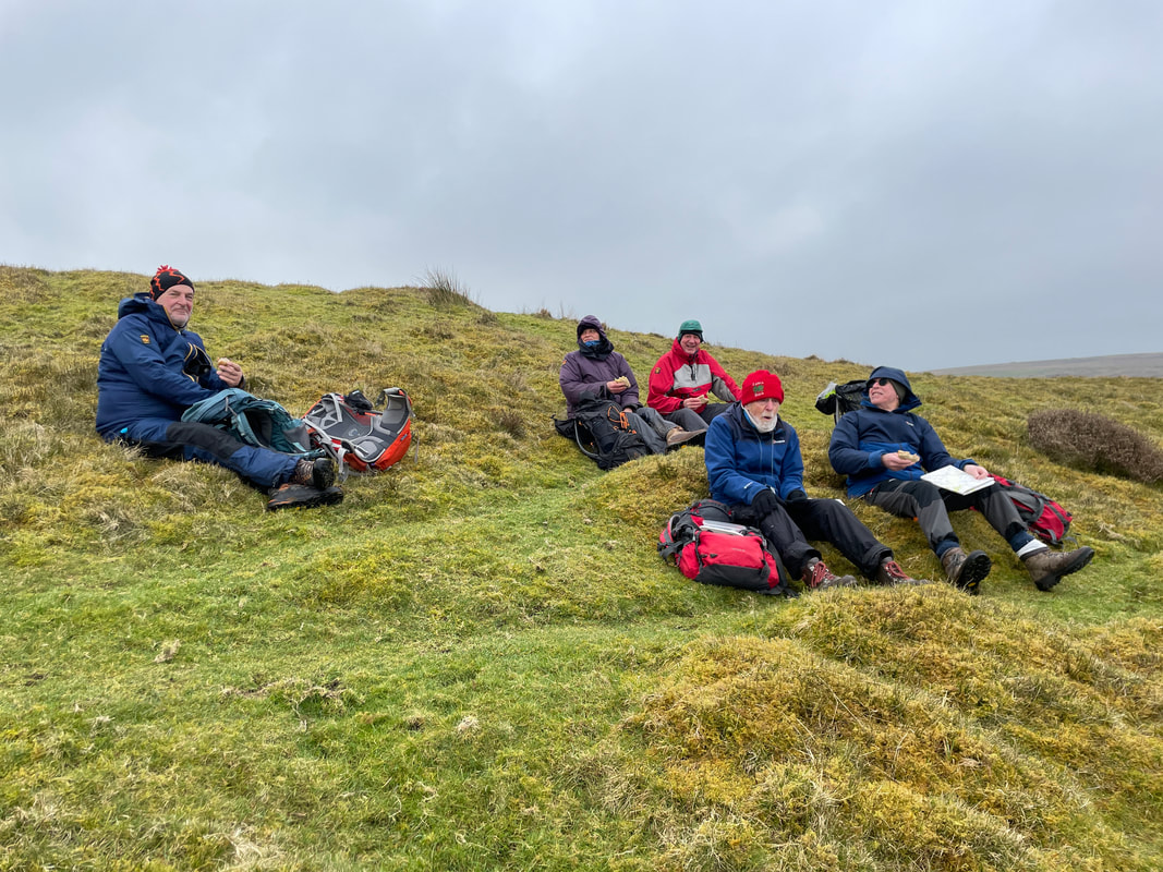
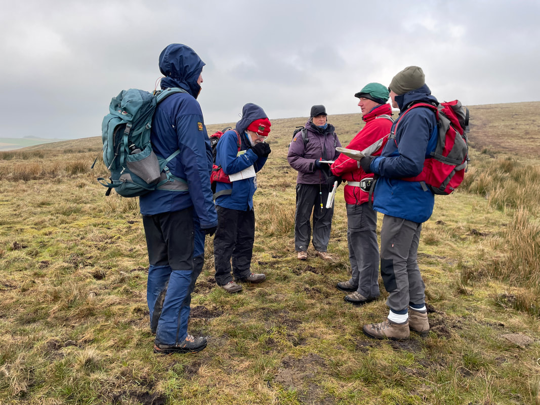
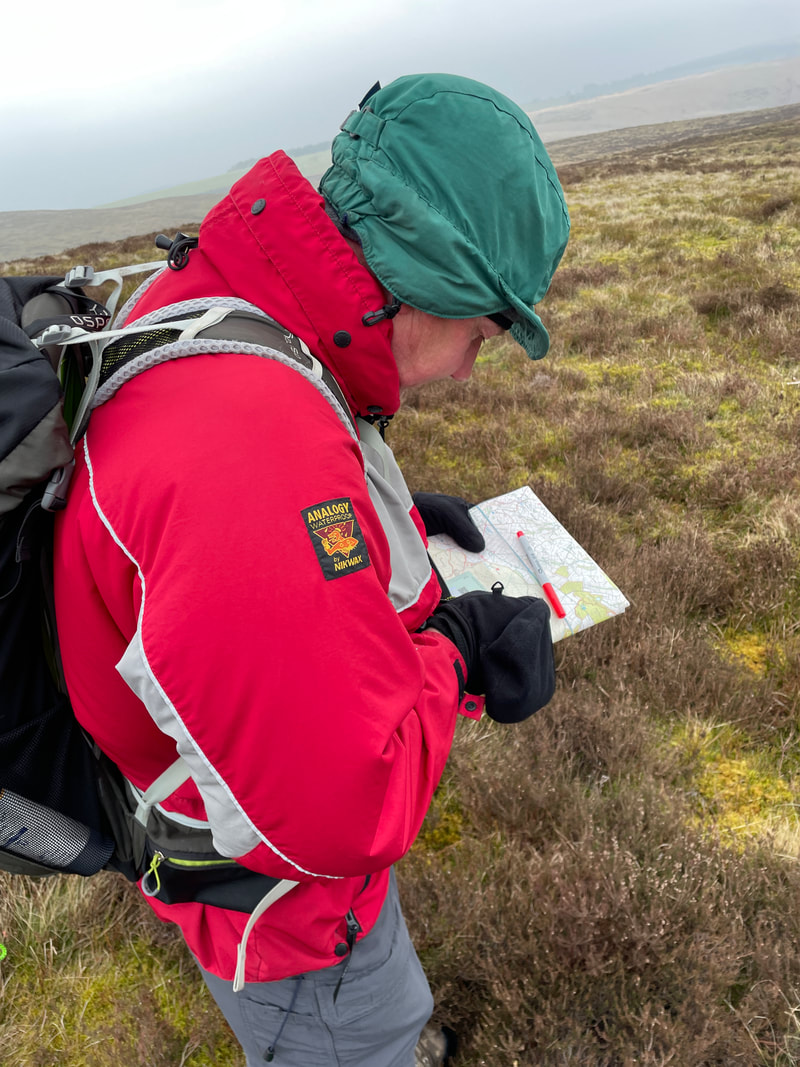
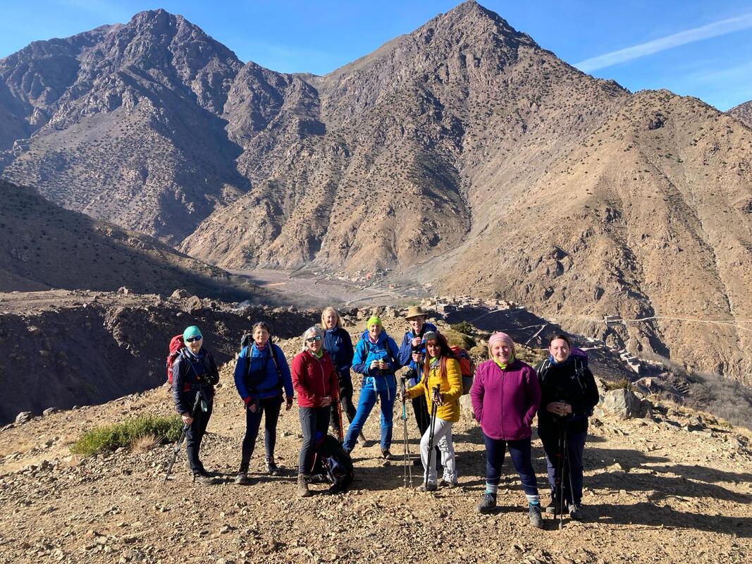
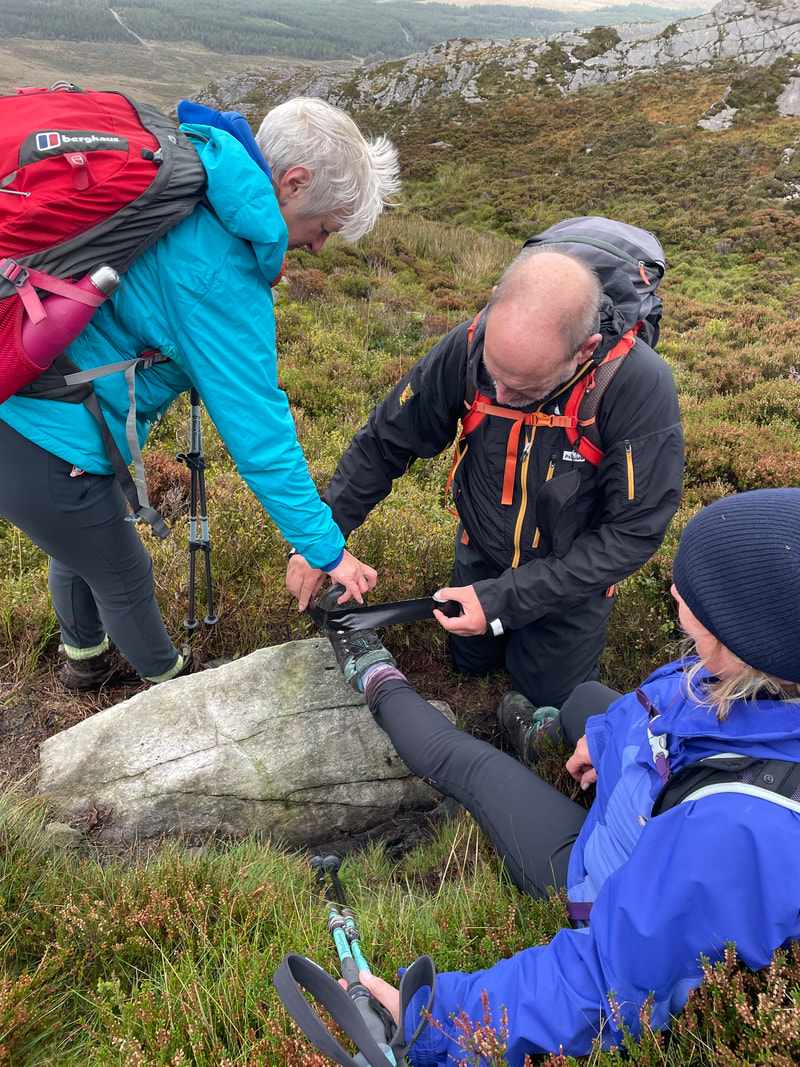
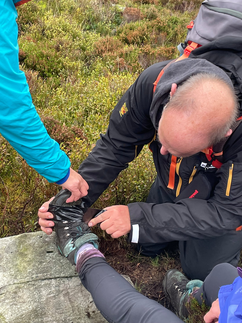
bryn walking rec outdoor first aid course 16HRS: April 4th/5th 2024 |


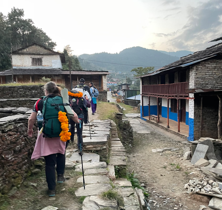
| Lodge: Hotel Vacation Home (Pothana) Altitude: 1983m My rating for the Lodge (max 40) Food: 10 Ambience: 10 Shower and toilet: 8 Sleeping: 10 Total: 38 | 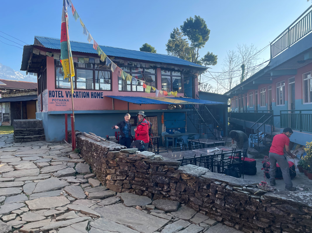 |

Day 2 November 10th
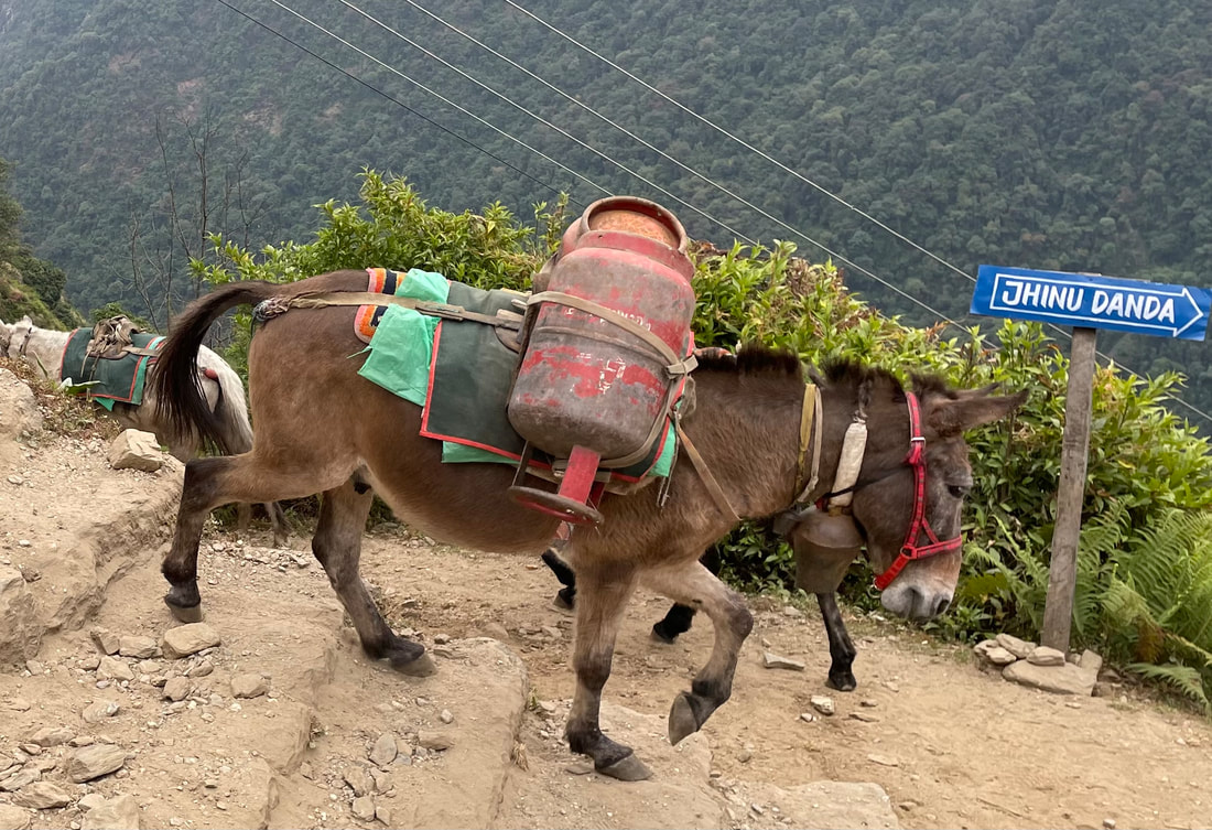
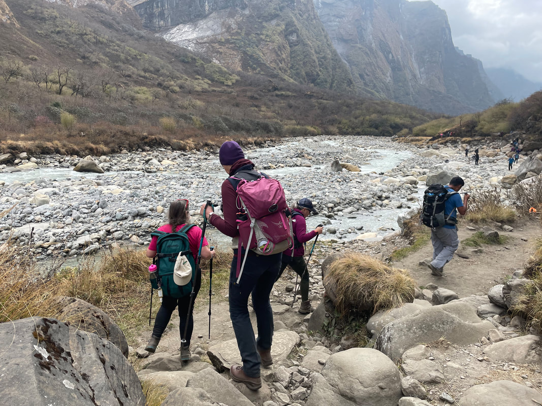
Pothana to Jhinu
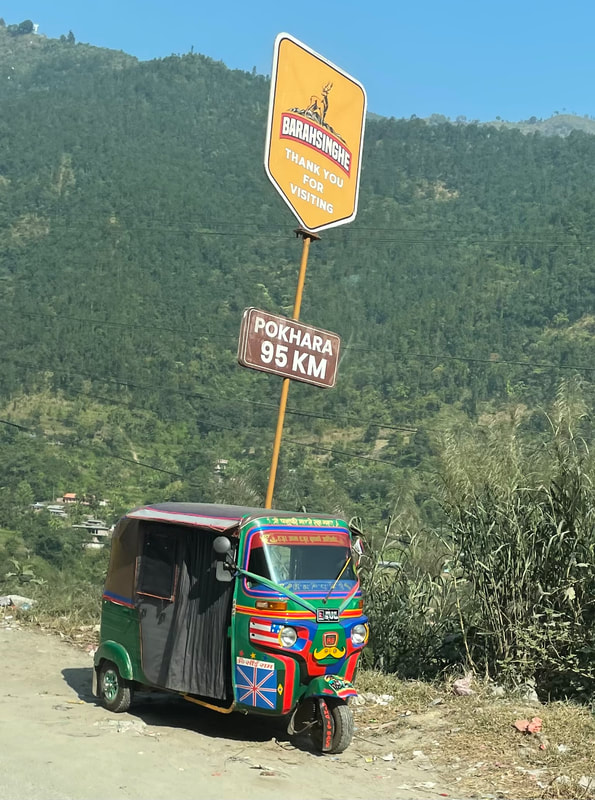
Distance: 20.48km
Total ascent: 1248m
Total descent: 1519m
Max altitude: 2018m
Walking time: 8hr 40mins
Pothana to Jhinu
Distance: 20.48km
Total ascent: 1248m
Total descent: 1519m
Max altitude: 2018m
Walking time: 8hr 40mins
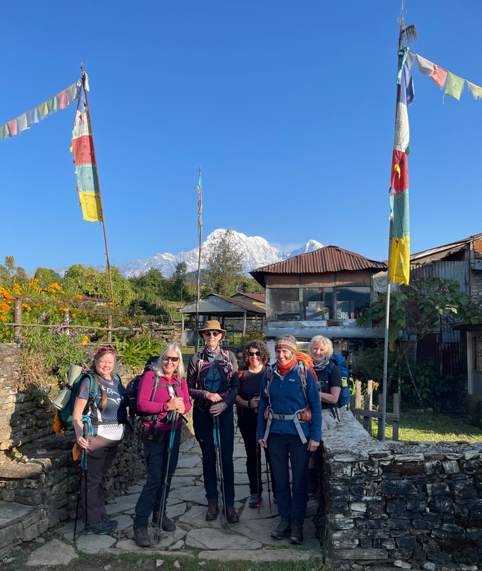
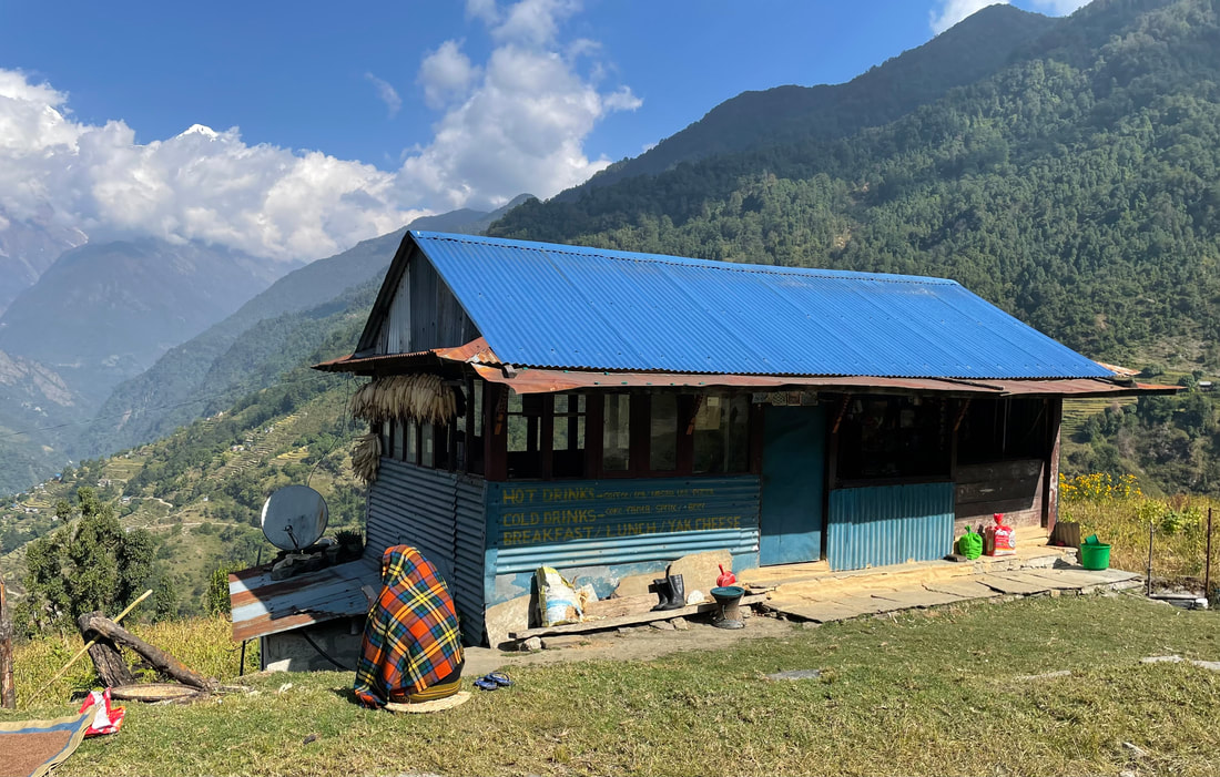
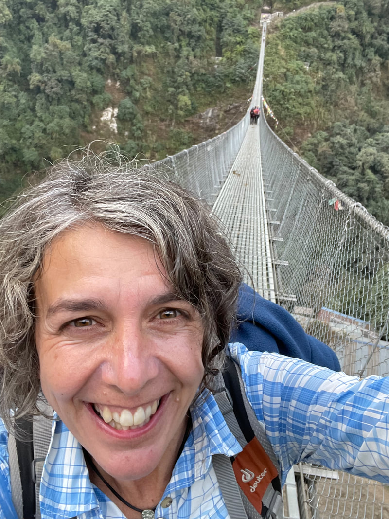
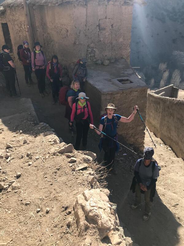
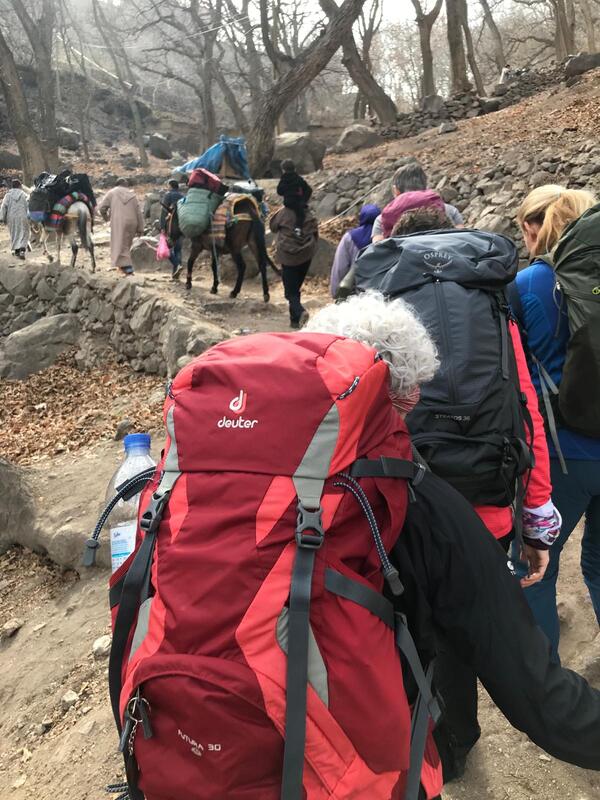
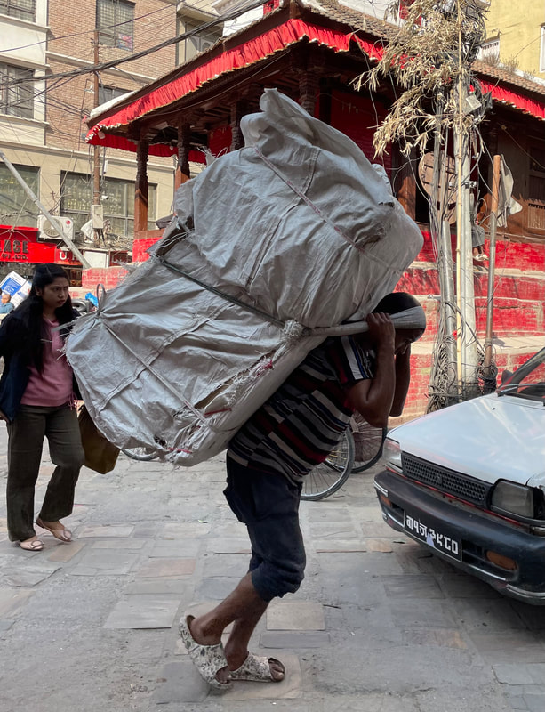
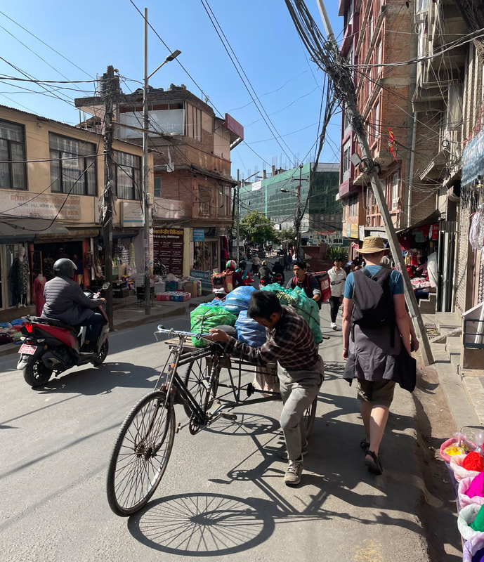
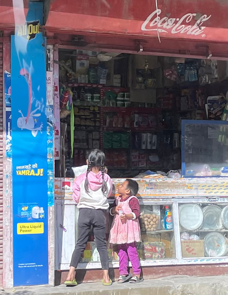
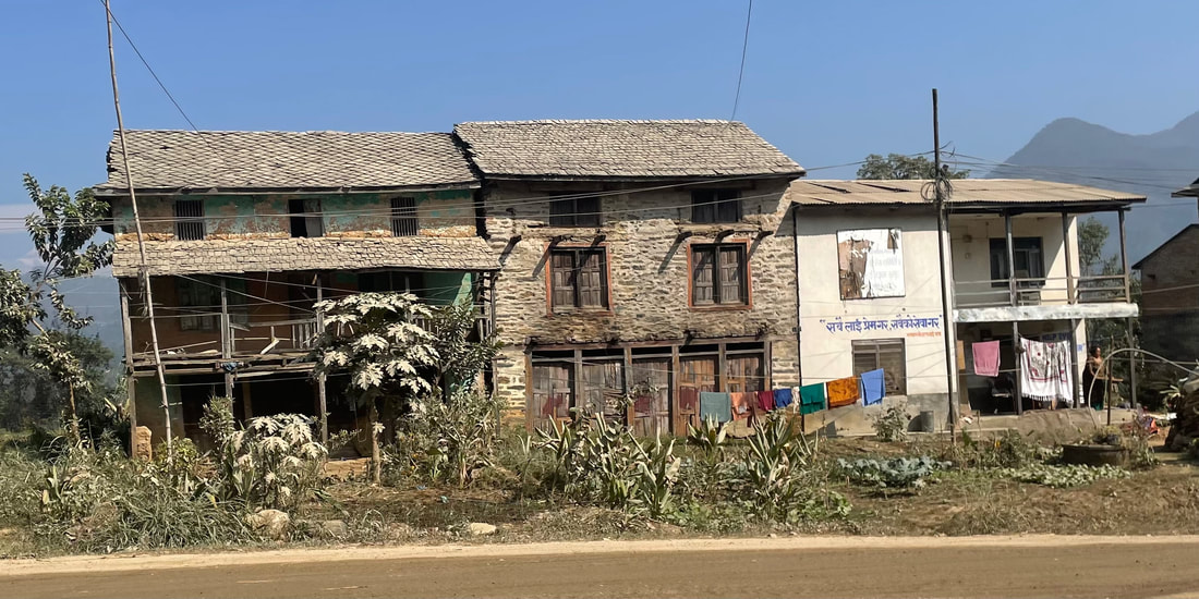
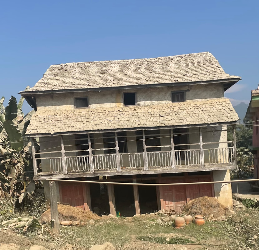
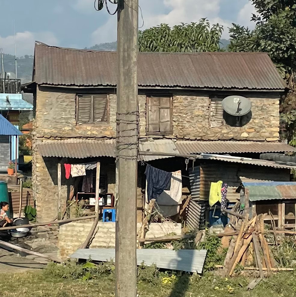
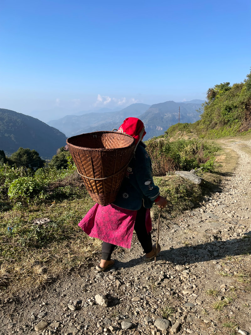
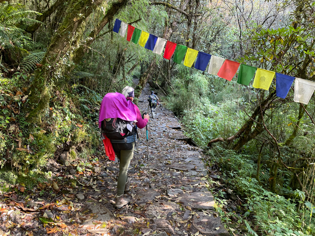
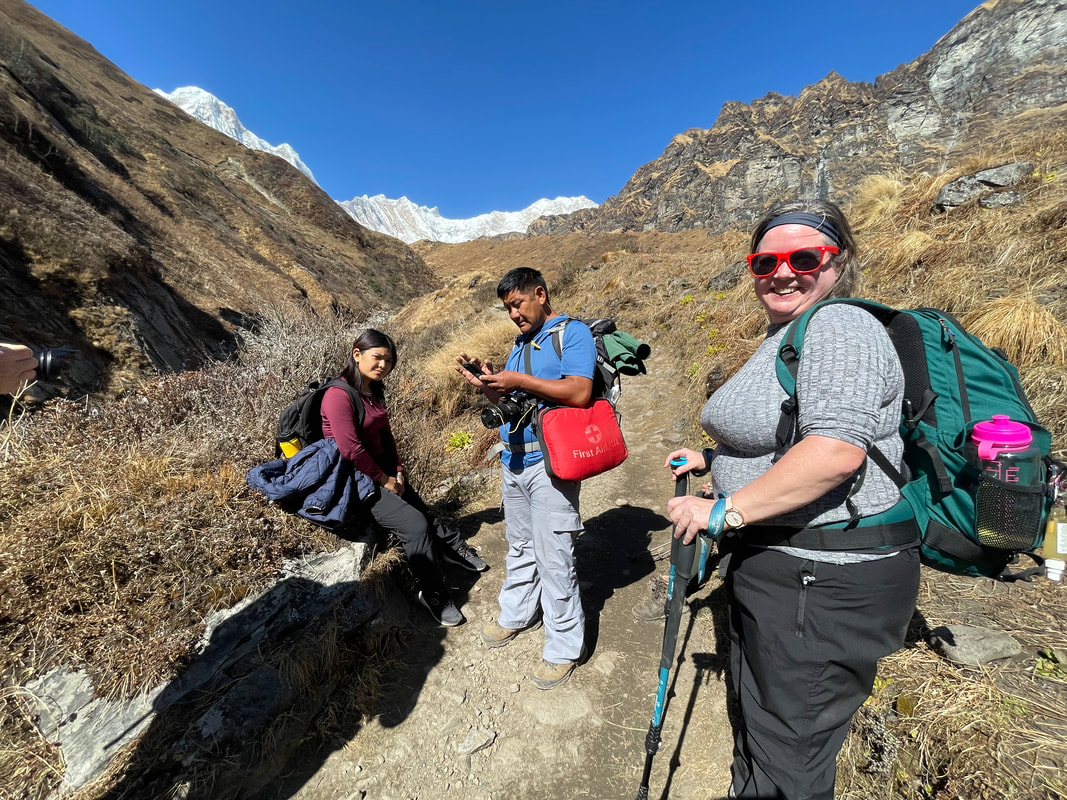
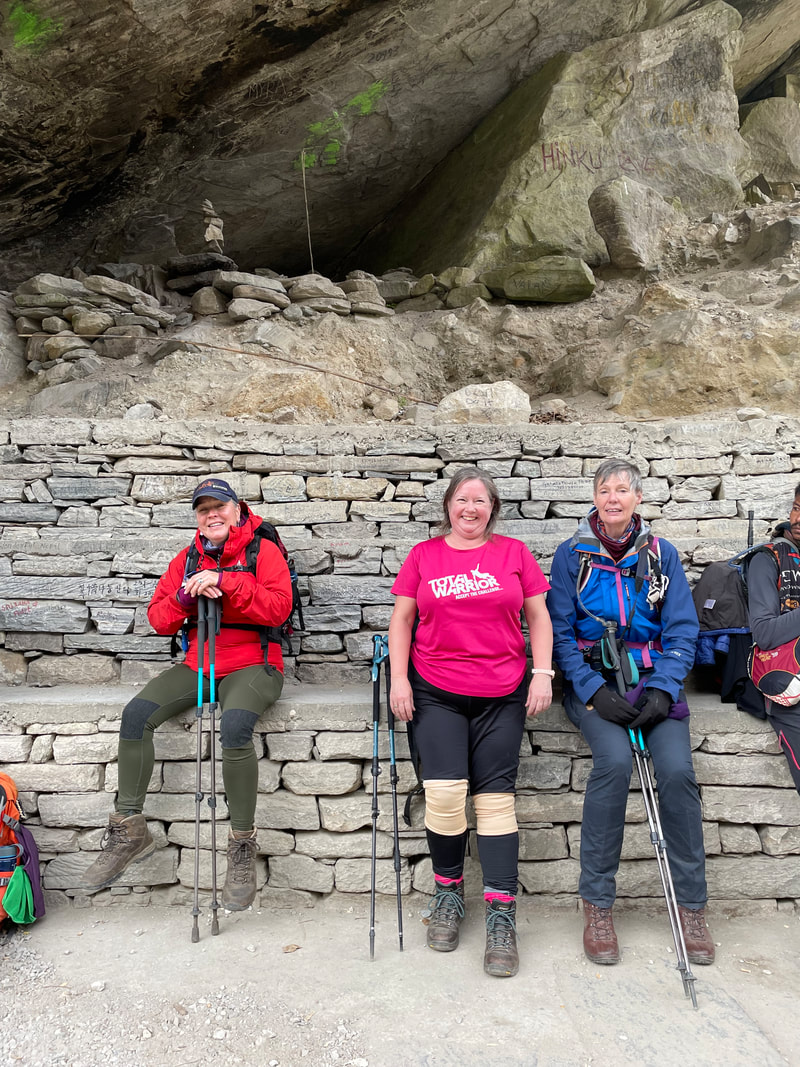
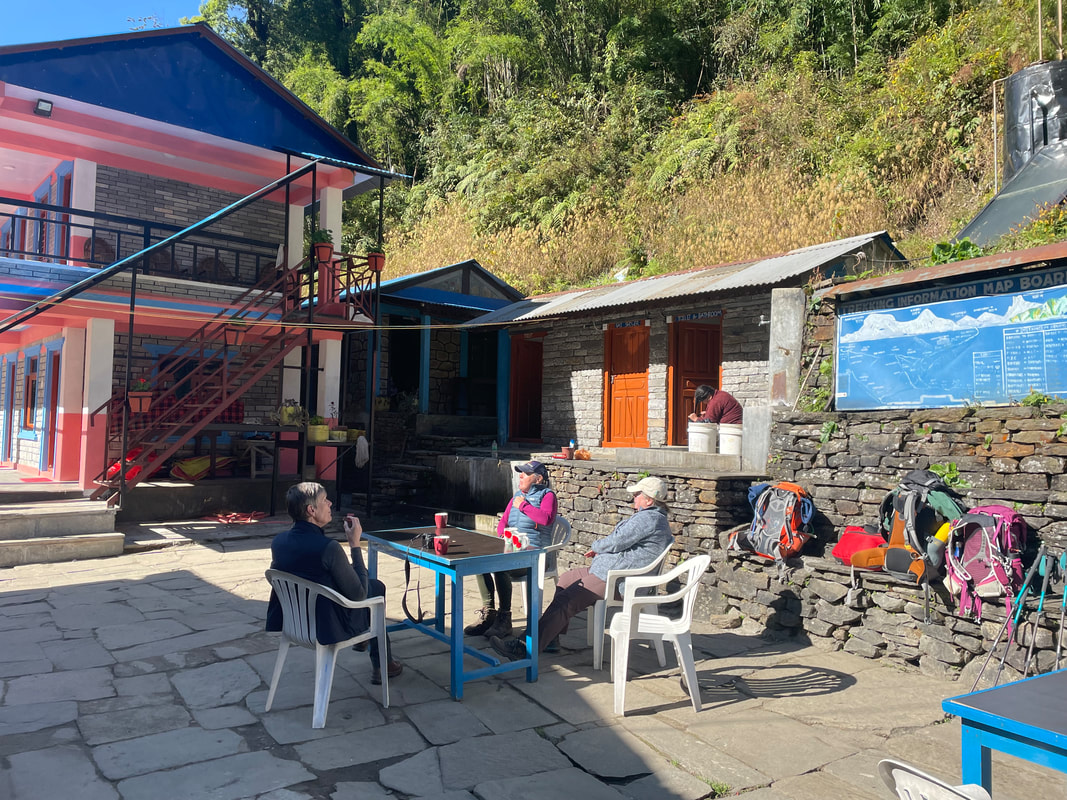
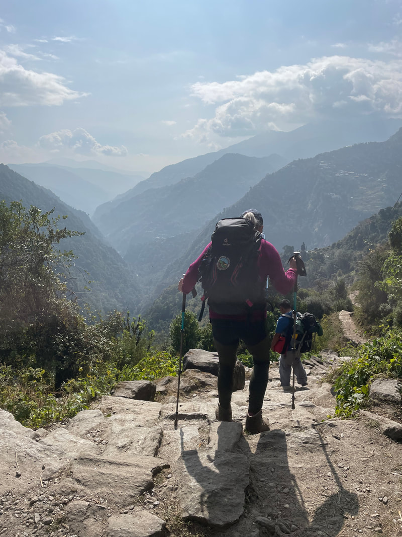
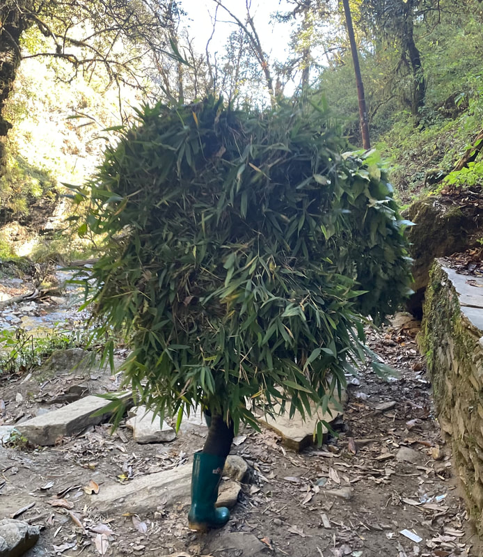
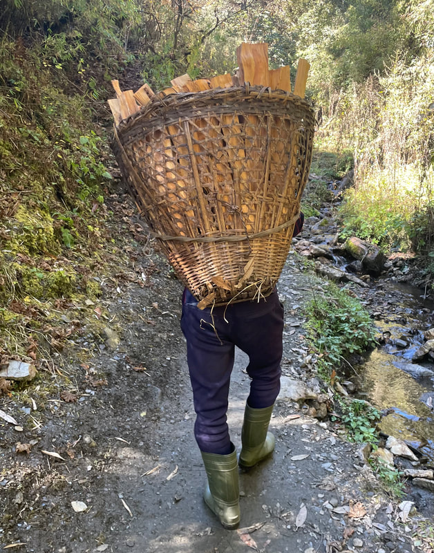
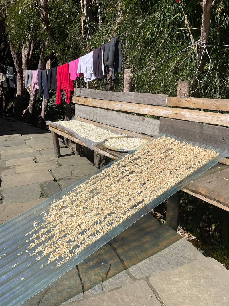
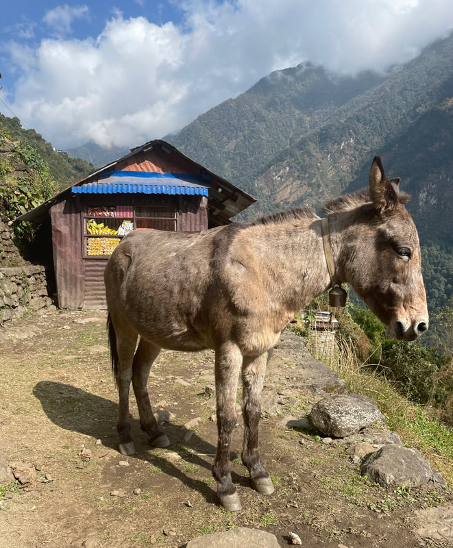
Trekking highlight: The true realisation of where we were and our first experiences of the culture and way of life and the Annapurna range getting increasing closer.
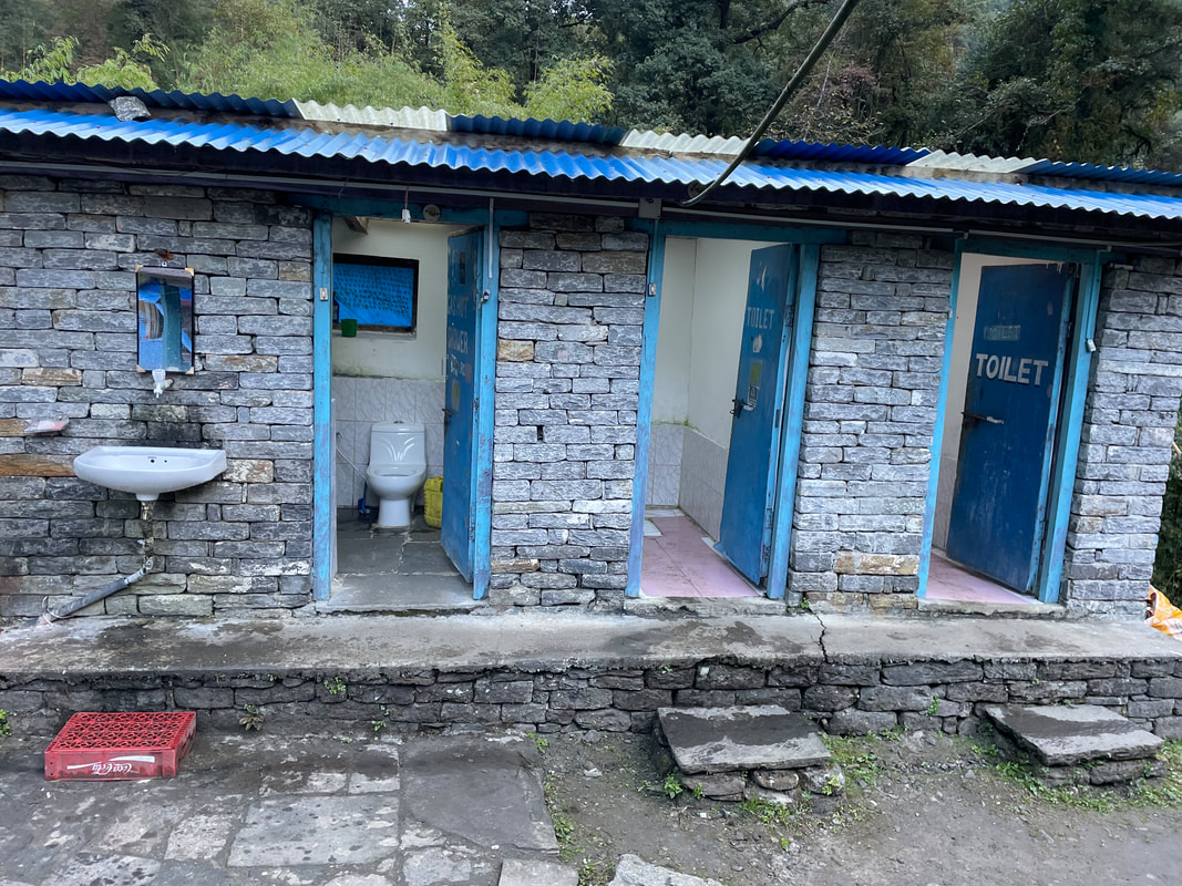
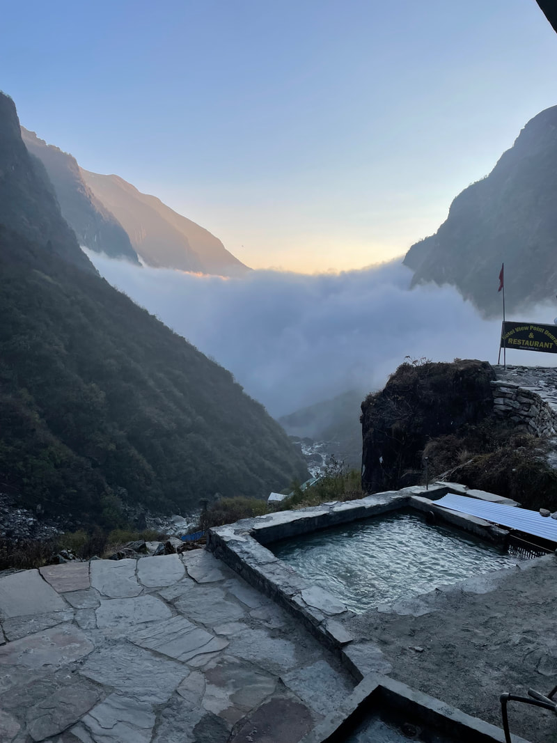
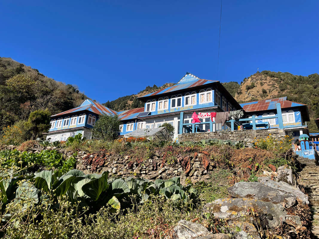
| Lodge: Hot Spring Cottage (Jhinu) Altitude: 1775m My rating for the Lodge (max 40) Food: 10 Ambience: 9 Shower and toilet: 9 Sleeping: 10 Total: 38 |  |
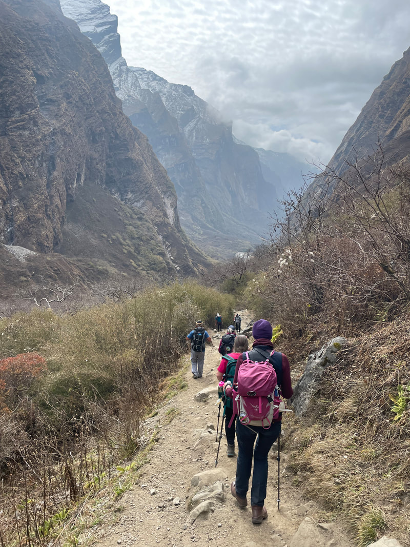
Day 3 November 11th
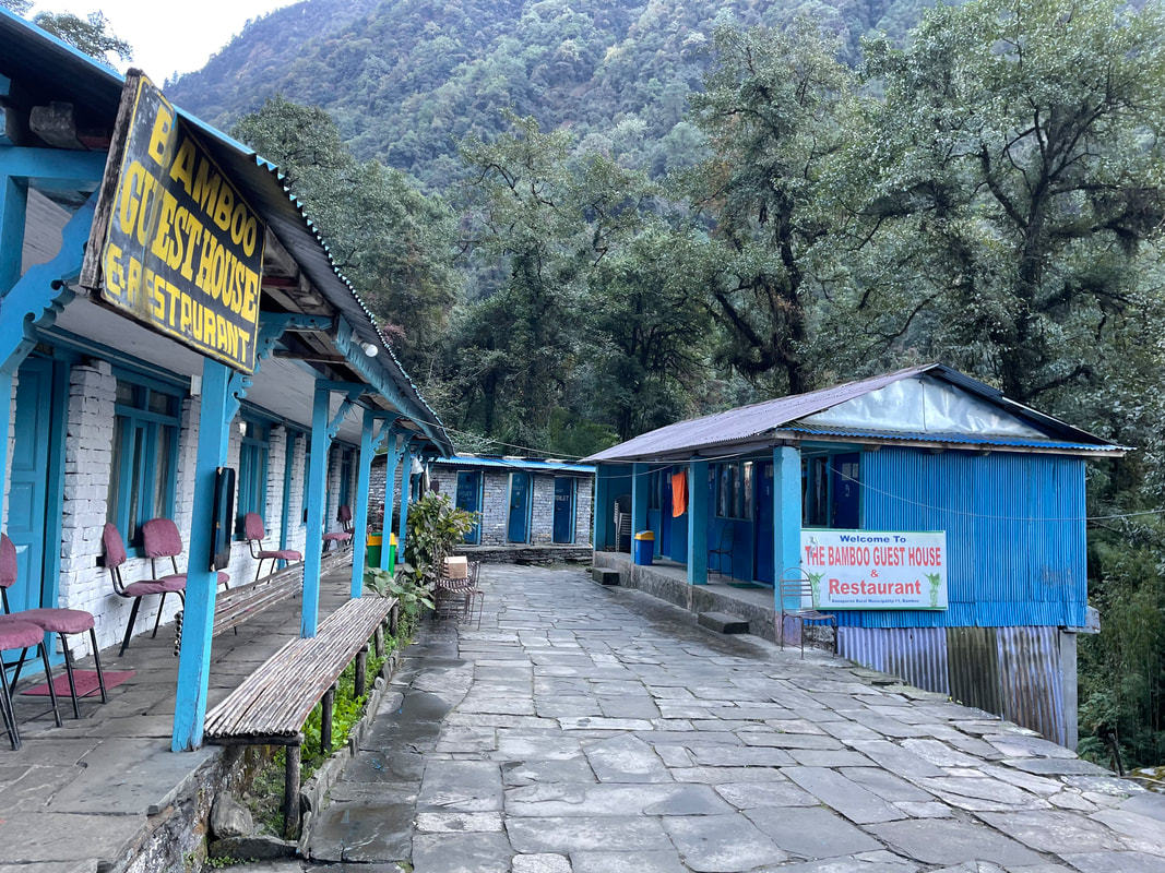
Jhinu to Bamboo
Distance: 14.3km
Total ascent: 1514m
Total descent: 928m
Max altitude: 2488m
Walking time: 9hr
Jhinu to Bamboo
Distance: 14.3km
Total ascent: 1514m
Total descent: 928m
Max altitude: 2488m
Walking time: 9hr
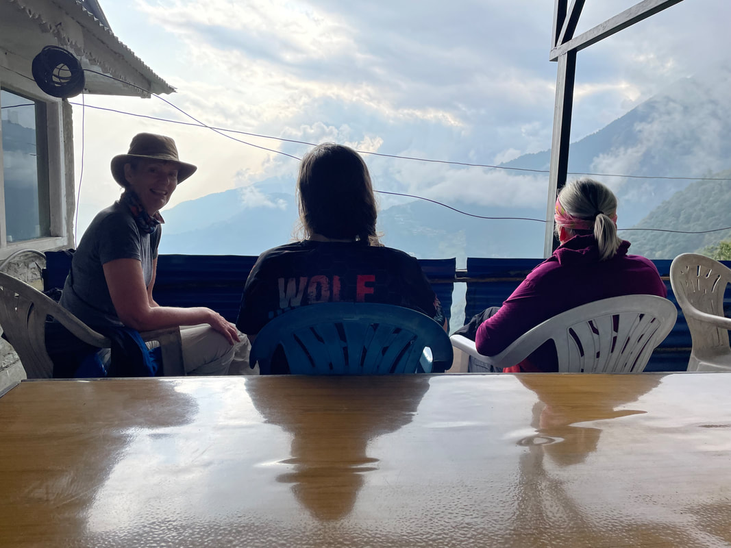
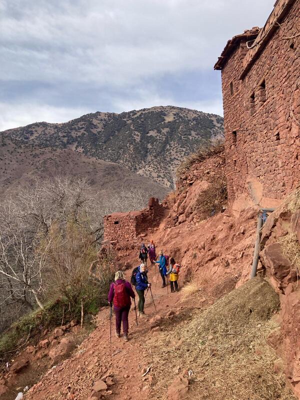
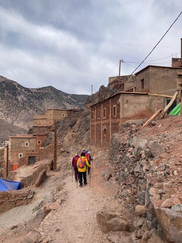
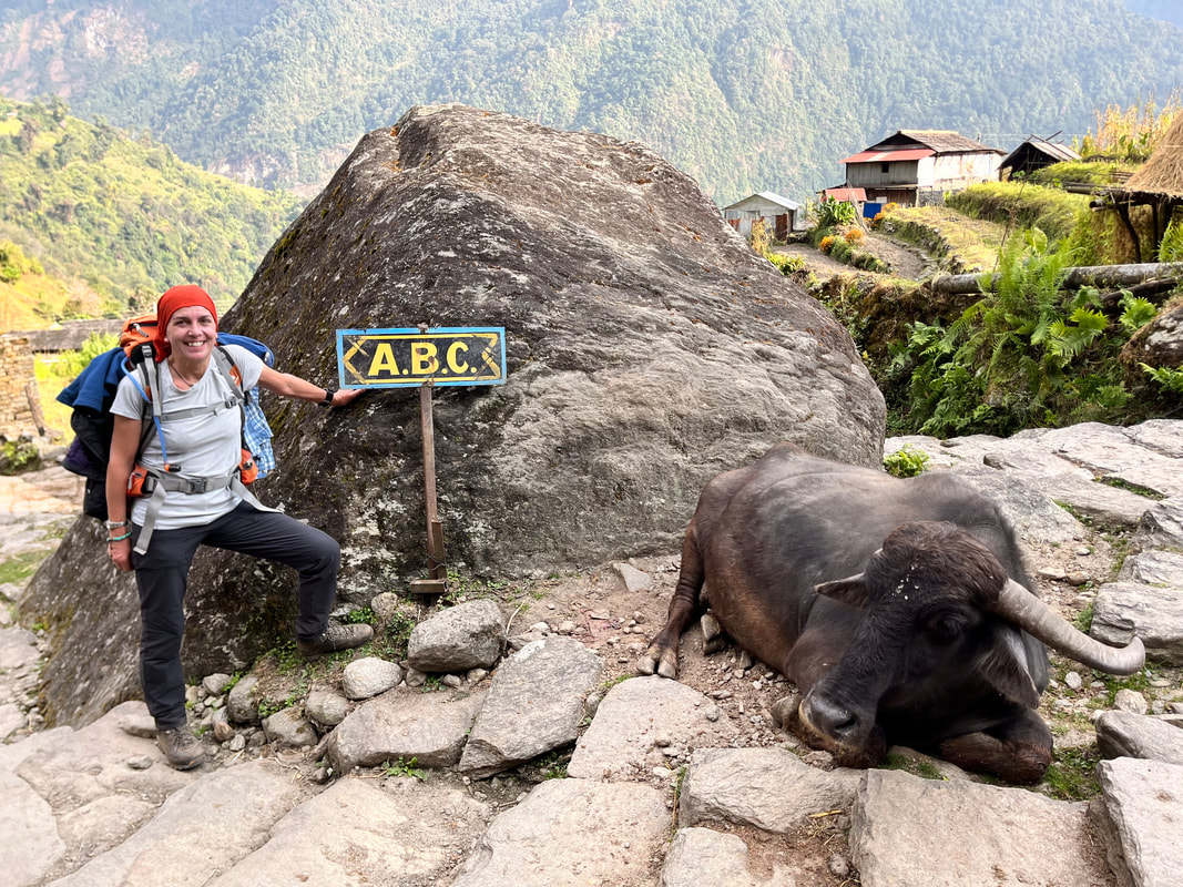
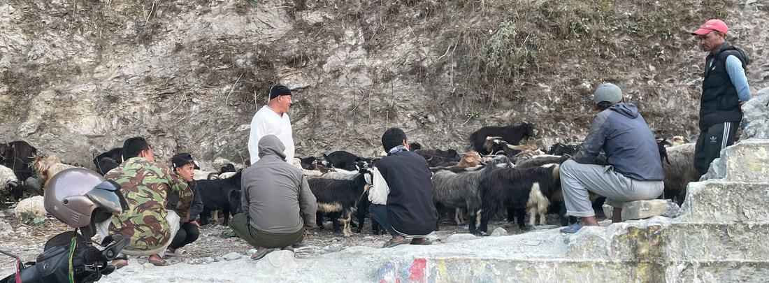
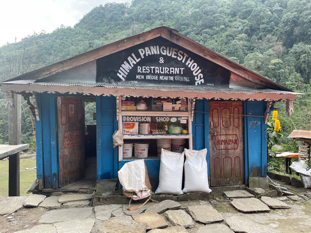
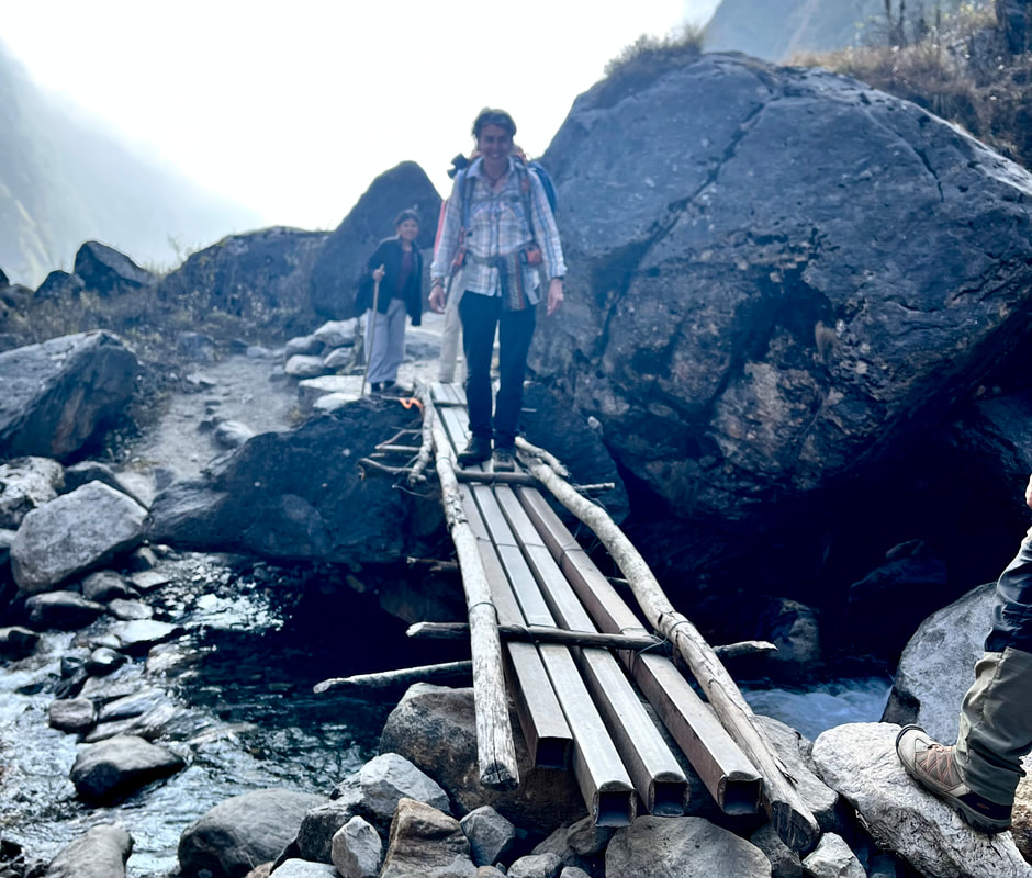
Trekking highlight: Walking through the traditional villages between Chromrong and Bamboo - lovely old buildings, rice fields, water buffalo and chickens.
| Lodge: Bamboo Guest House (Bamboo) Altitude: 2264m My rating for the Lodge (max 40) Food: 8 Ambience: 7 Shower and toilet: 6 Sleeping: 9 Total: 30 | 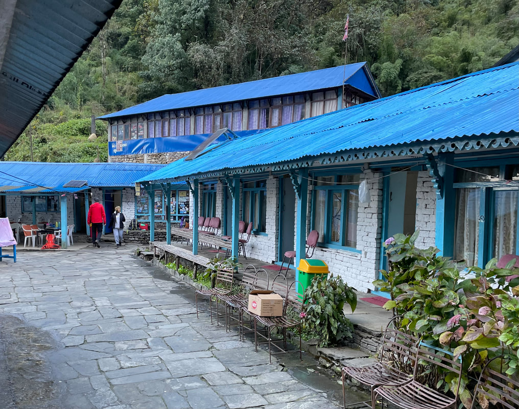 |

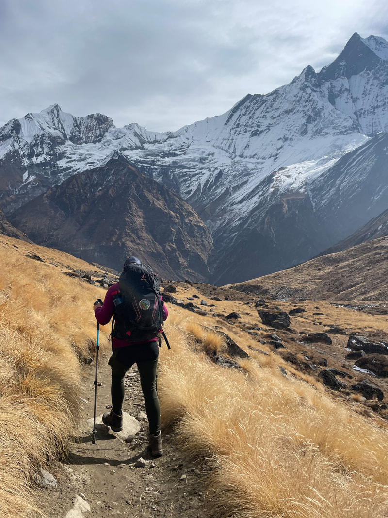
Day 4 November 12th
Bamboo to Deurali
Distance: 13km
Total ascent: 1629m
Total descent: 691m
Max altitude: 3253m
Walking time: 7hr
Bamboo to Deurali
Distance: 13km
Total ascent: 1629m
Total descent: 691m
Max altitude: 3253m
Walking time: 7hr
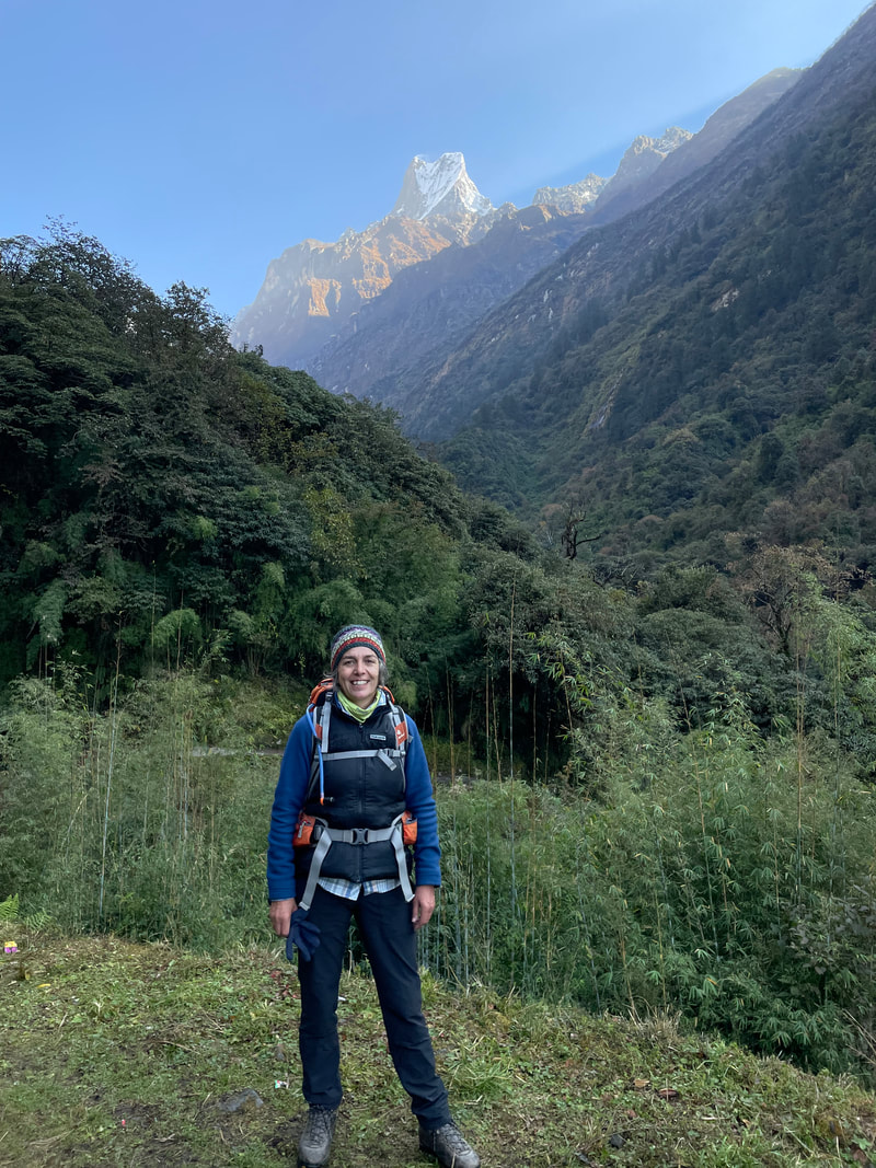
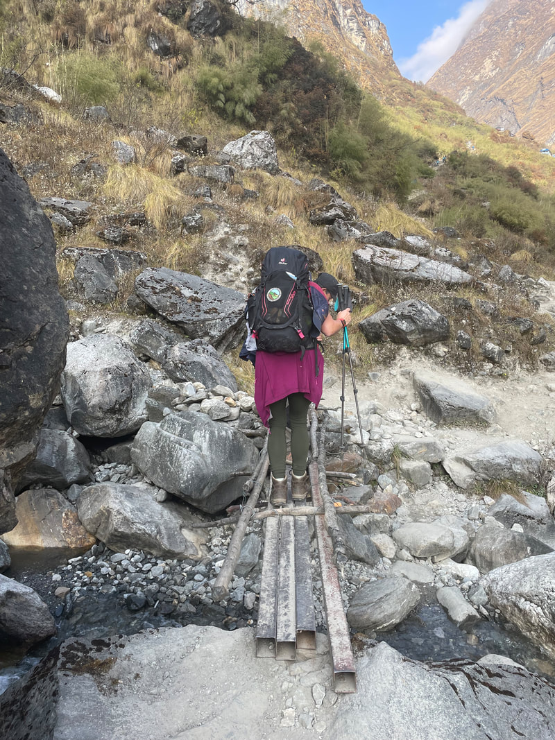
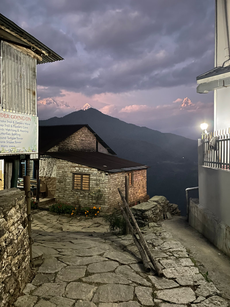
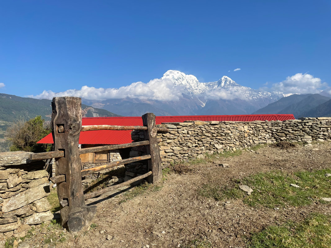
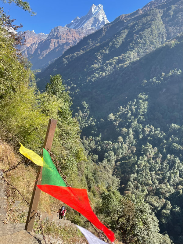
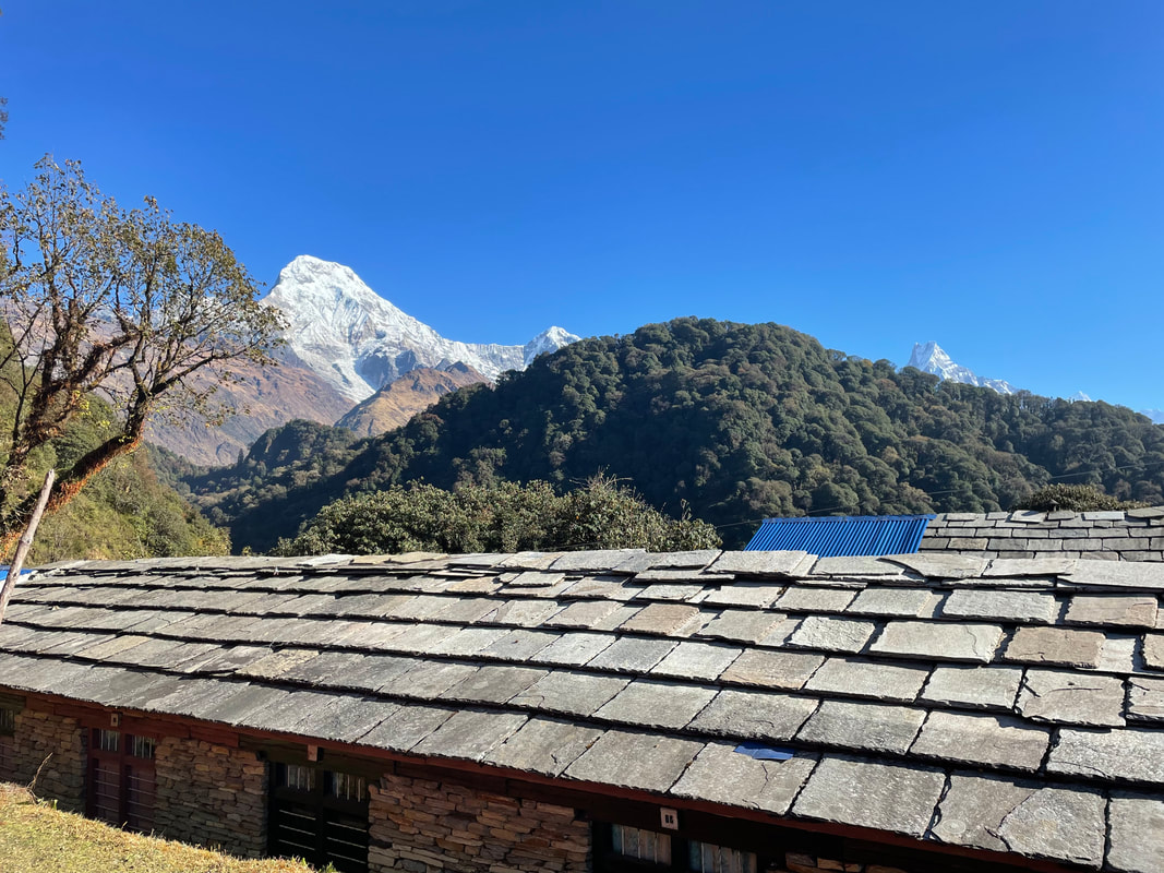
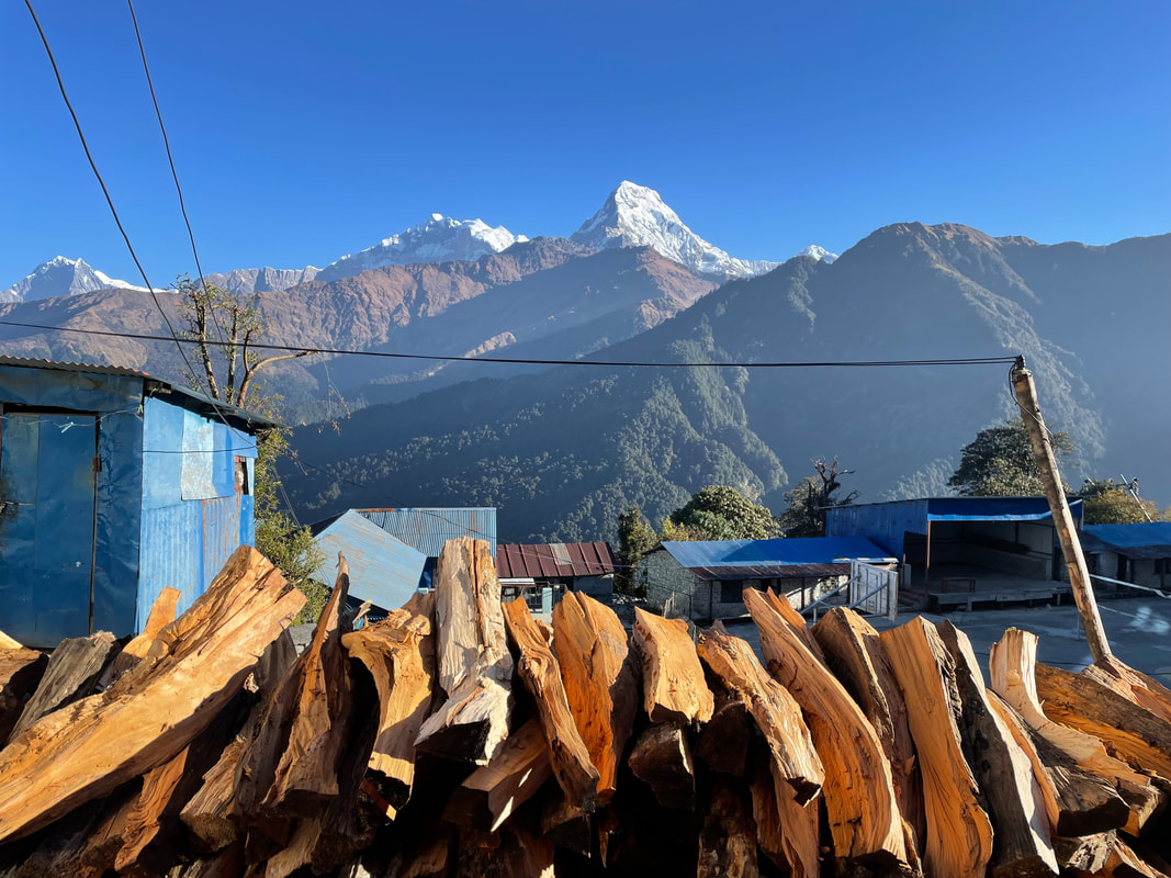
Trekking highlight: The snow blowing off the top of the sacred mountain Machupachchhre (6997m) - it looked like smoke, I think we were quite lucky to see these conditions. Could this be what was believed to be the smoke from the divine incense of the god of Shiva?
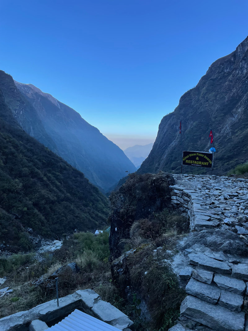
| Lodge: Hotel View Point (Deurali) Altitude: 3208m My rating for the Lodge (max 40) Food: 10 Ambience: 10 Shower and toilet: 10 Sleeping: 10 Total: 40 | 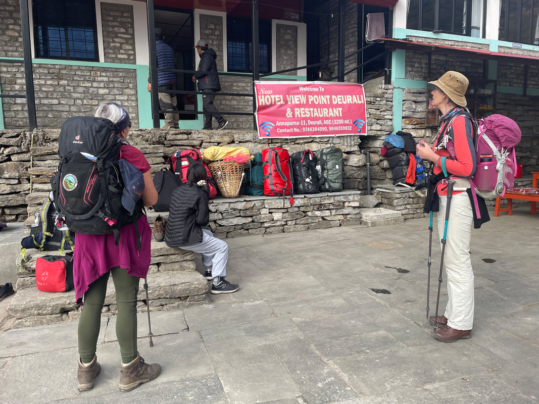 |
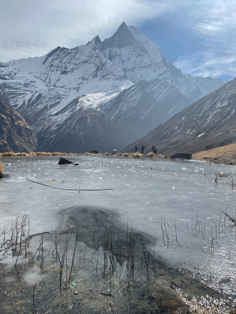
Day 5 November 13th
Deurali to MBC (Machhapuchchhre Base Camp)
Distance: 6.5km
Total ascent: 1811m
Total descent: 1340m
Max altitude: 3742m
Walking time: 3hr 20min
Deurali to MBC (Machhapuchchhre Base Camp)
Distance: 6.5km
Total ascent: 1811m
Total descent: 1340m
Max altitude: 3742m
Walking time: 3hr 20min
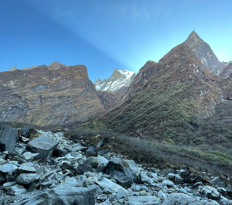
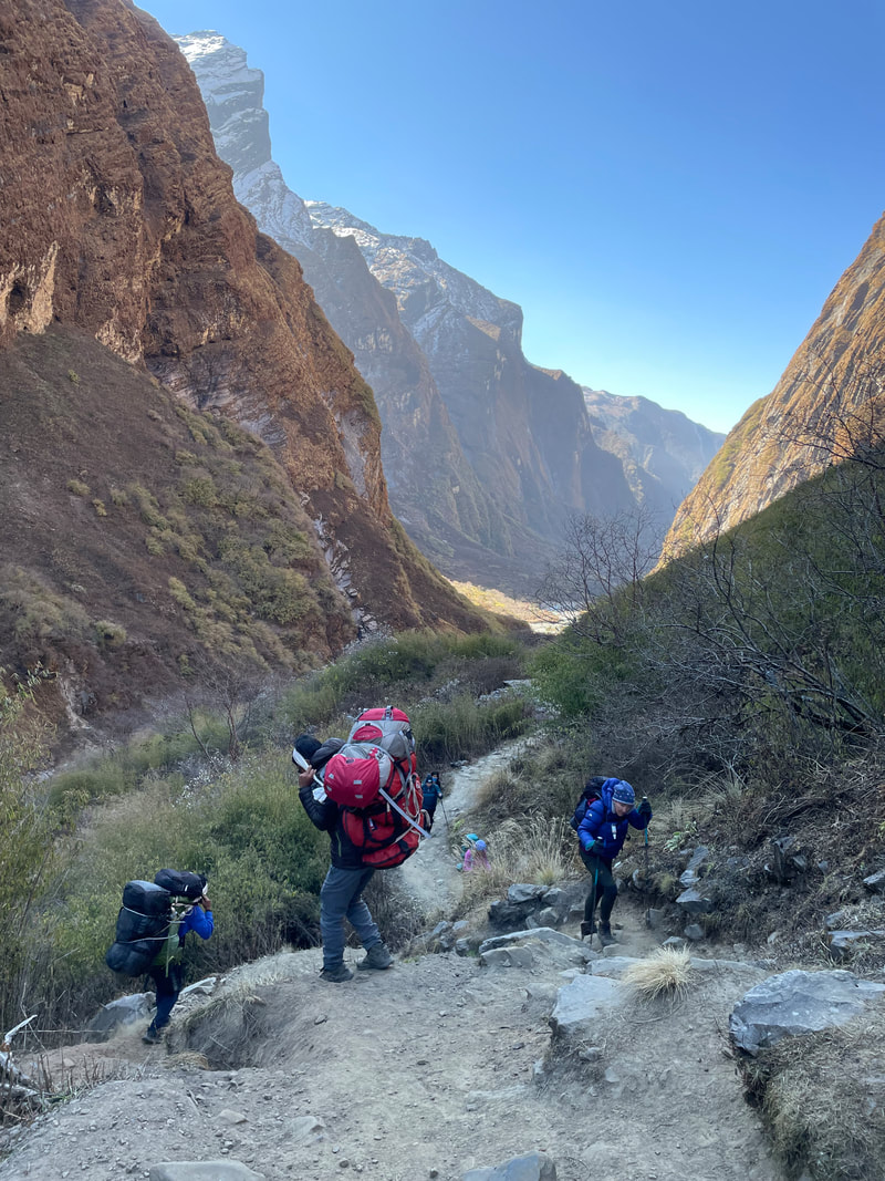
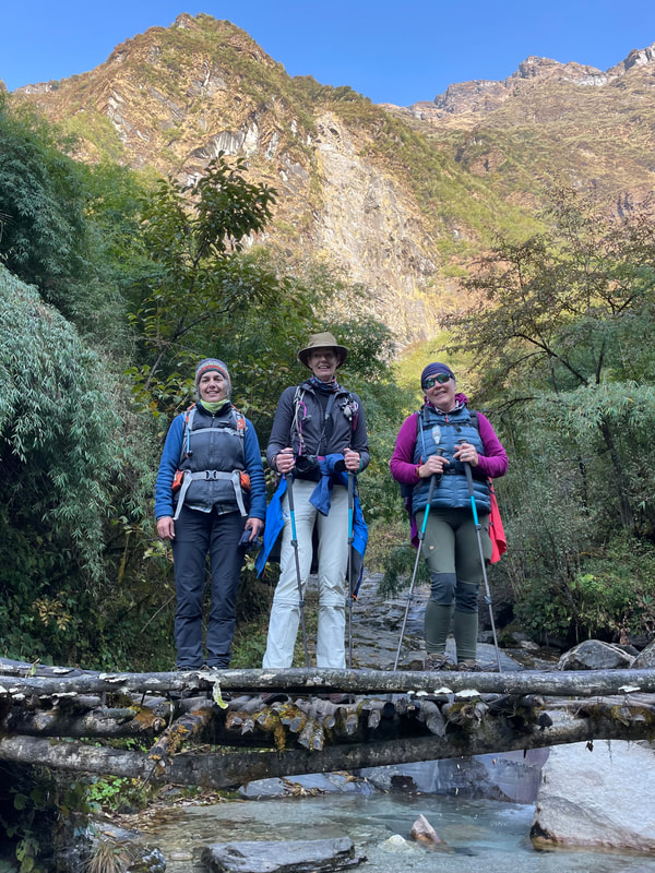
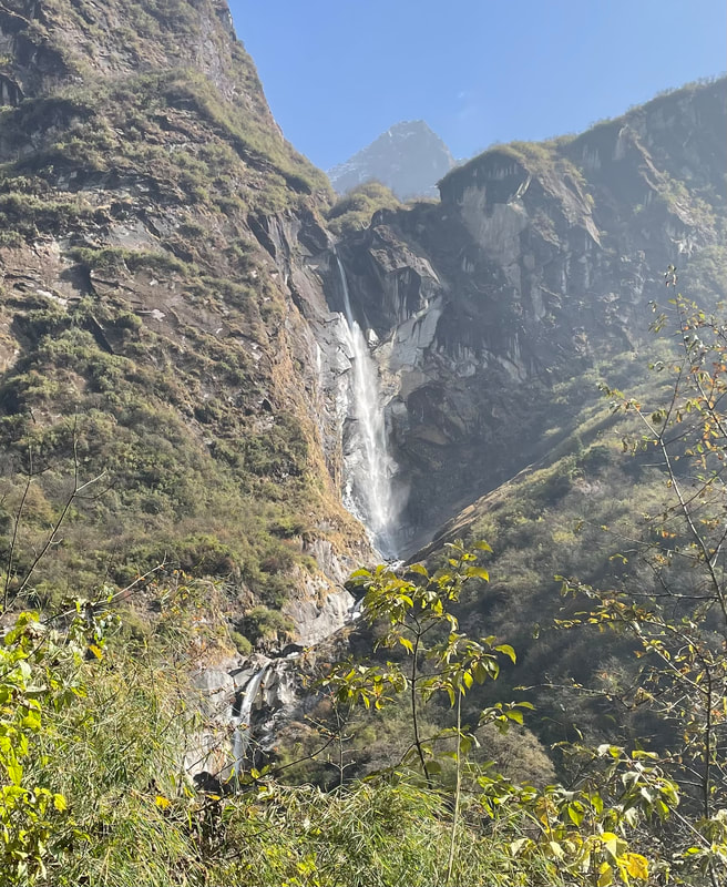
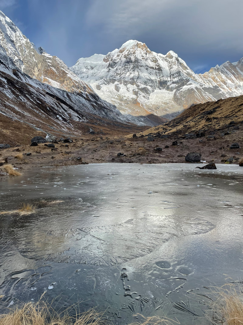
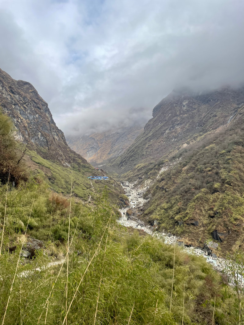
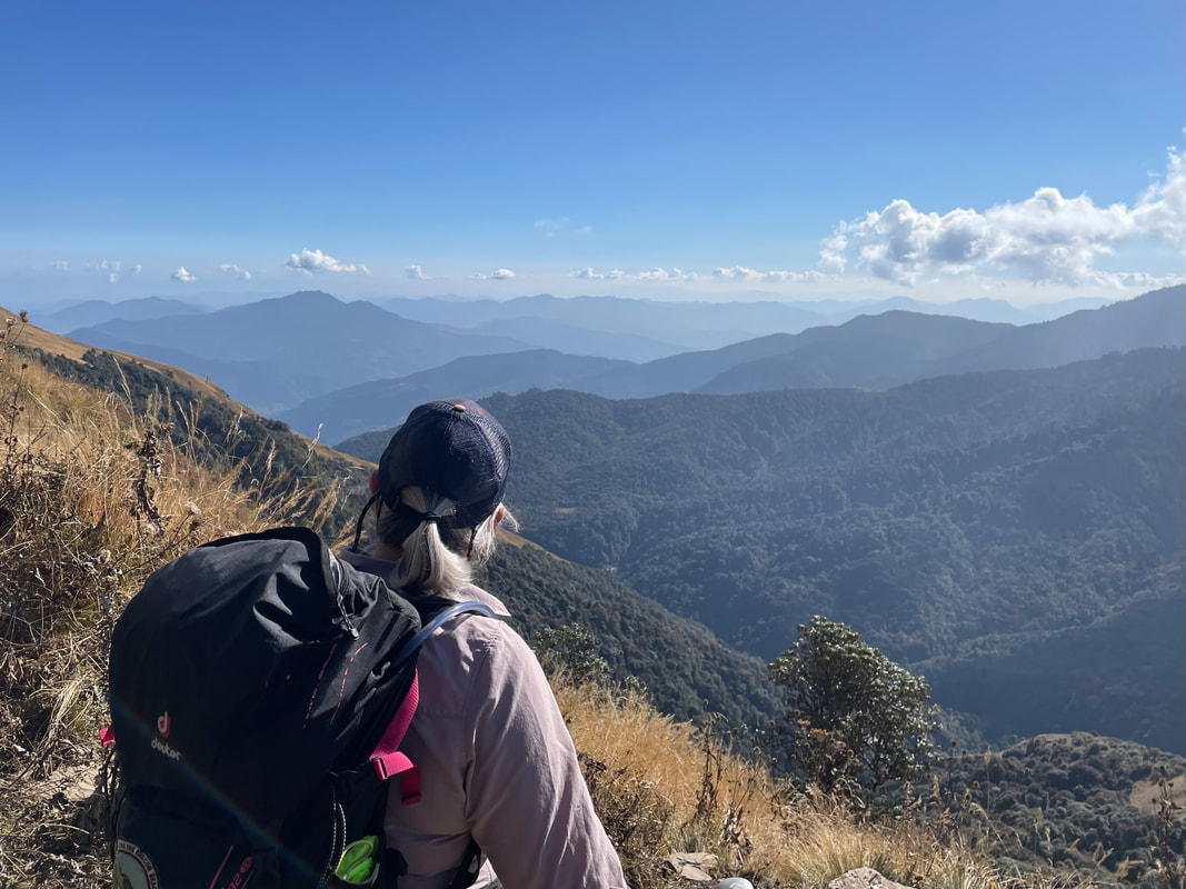
Trekking highlight: Coming down close to the river Modi Khola which had been in view or ear shot over the last couple of days. It's icy, turquoise waters rapidly flowing down the valley. Now being well above 3000m the jungle type trees had disappeared leaving a much more remote and rugged landscape. The increasing feeling that these mountains that were towering over us really were in charge - 'don't mess with us' you could almost hear them saying.
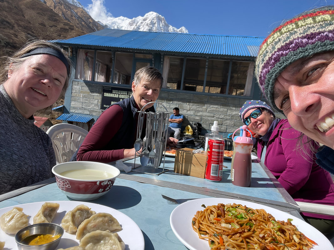
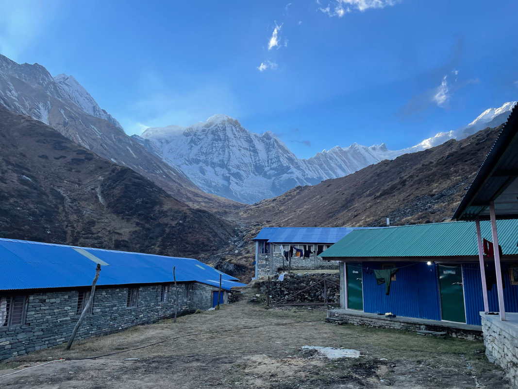
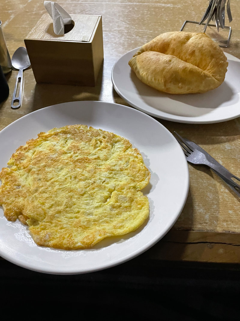
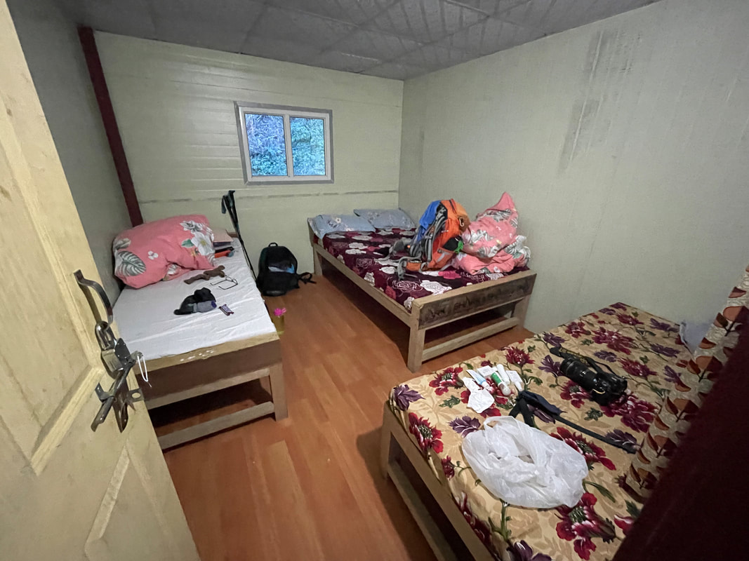
| Lodge: Shankar Guest House (MBC) Altitude: 3691m My rating for the Lodge (max 40) Food: 10 Ambience: 8 Shower and toilet: 10 Sleeping: 10 Total: 38 | 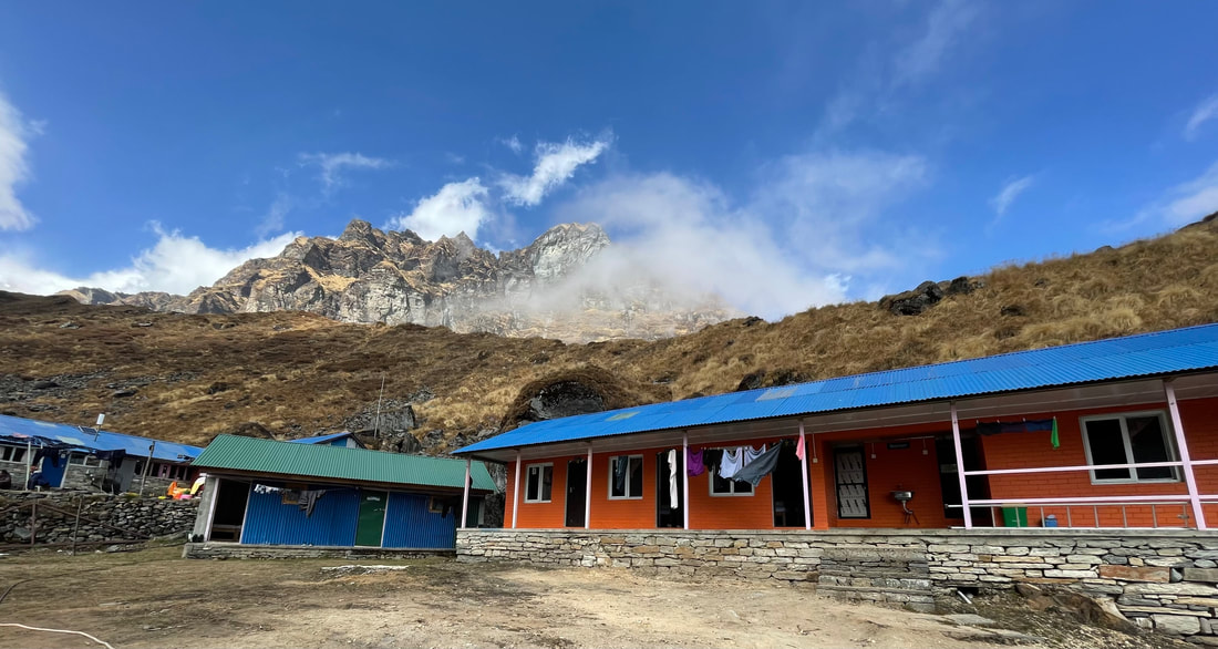 |
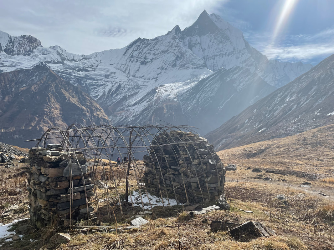
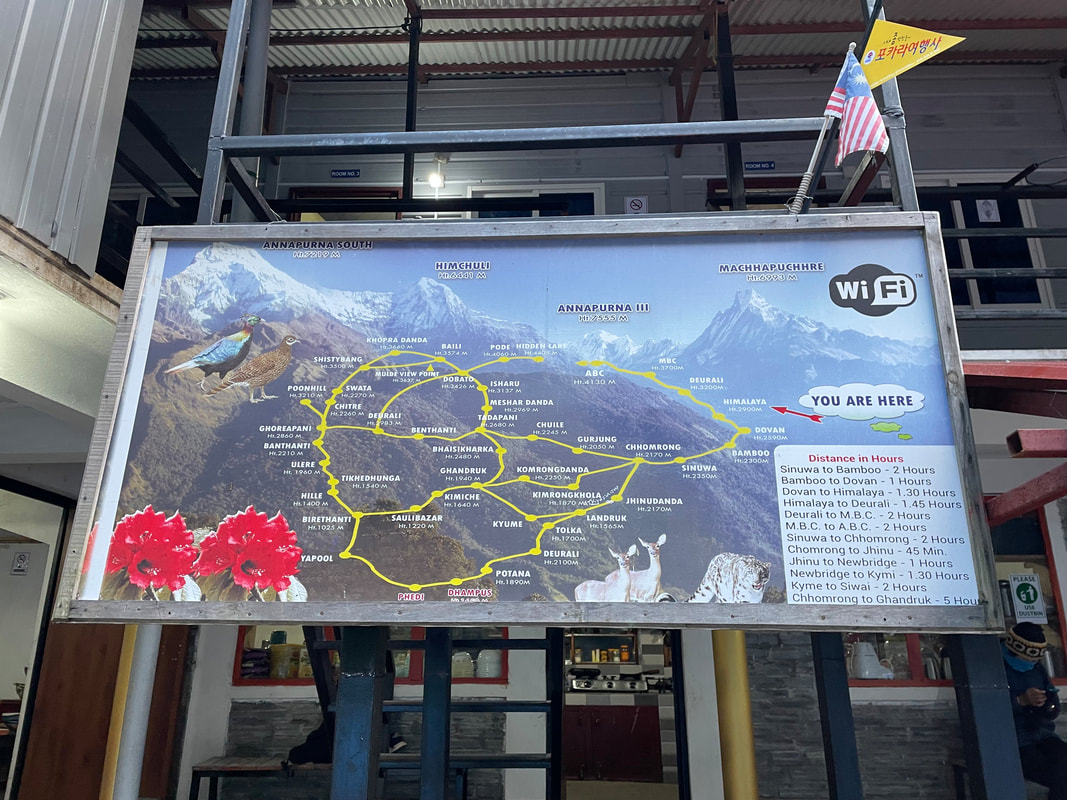
Day 6 November 14th
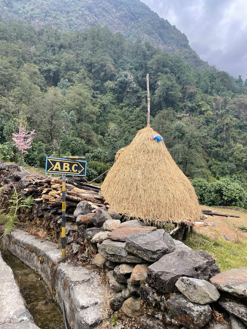
MBC (Machhapuchchhre Base Camp) to Himalaya vis ABC (Annapurna Base Camp)
Distance: 19.5km
Total ascent: 502m
Total descent: 1289m
Max altitude: 4130m
Walking time: 8.5hr
MBC (Machhapuchchhre Base Camp) to Himalaya vis ABC (Annapurna Base Camp)
Distance: 19.5km
Total ascent: 502m
Total descent: 1289m
Max altitude: 4130m
Walking time: 8.5hr
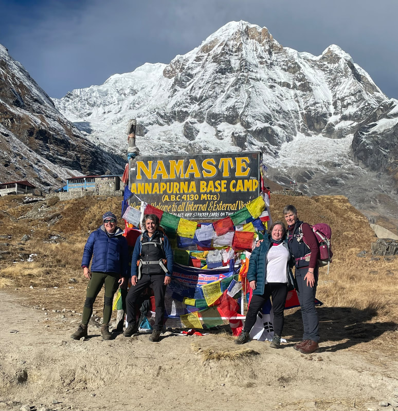
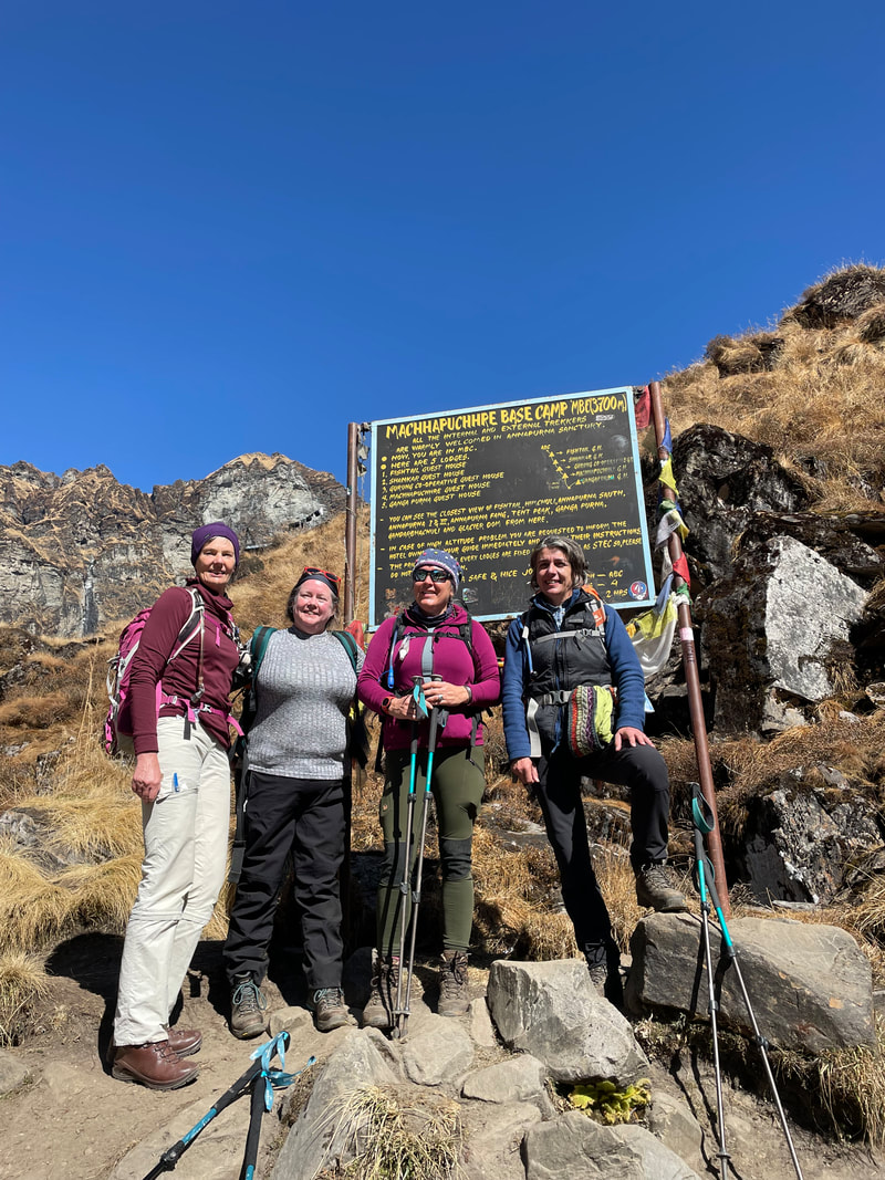
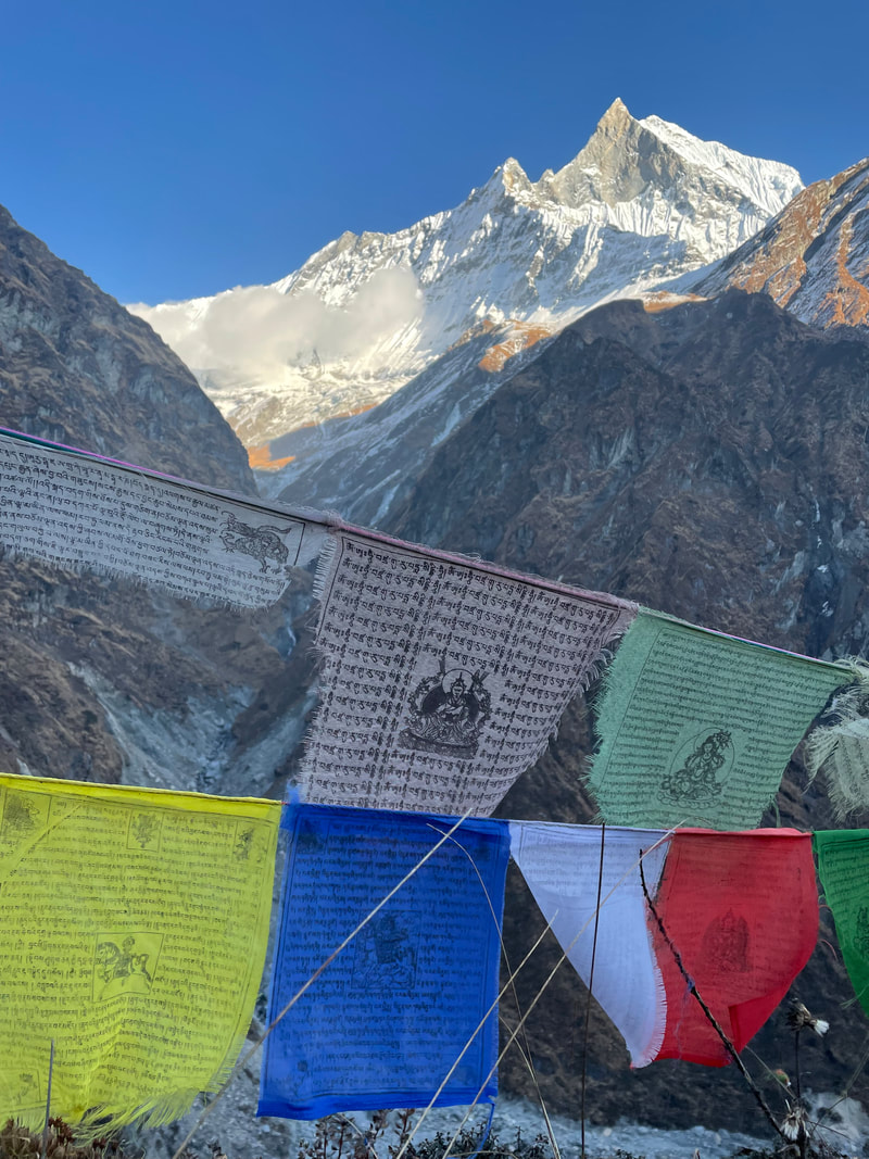
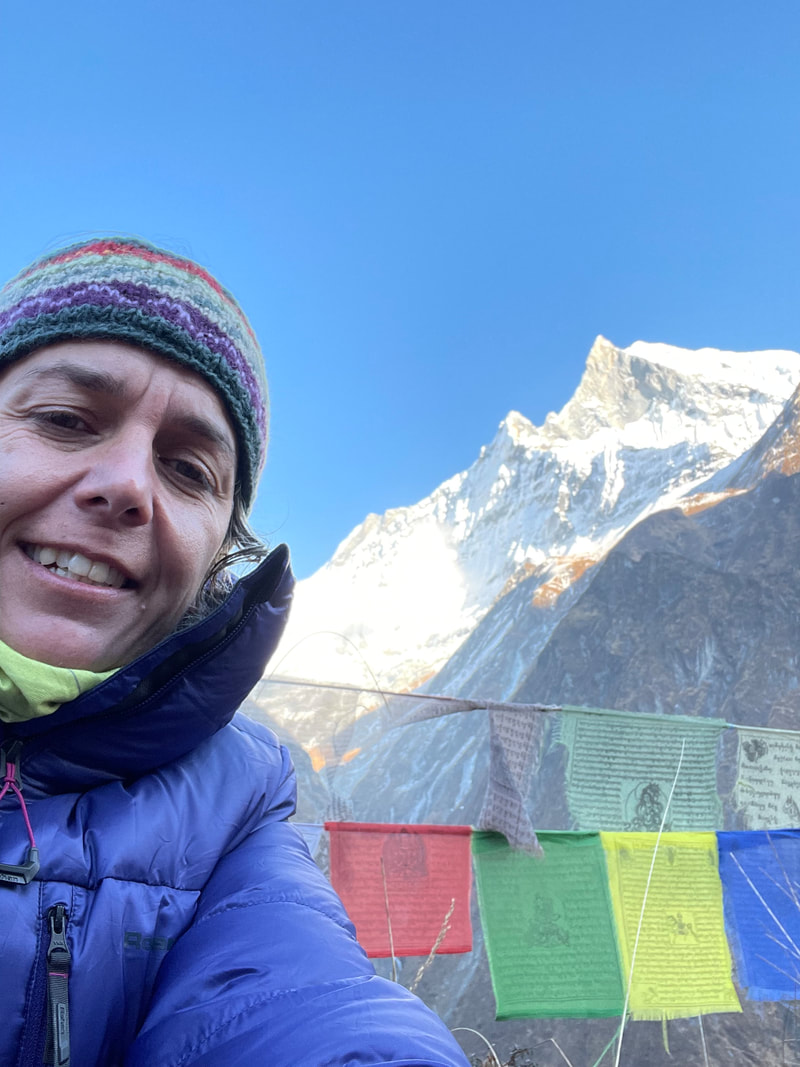
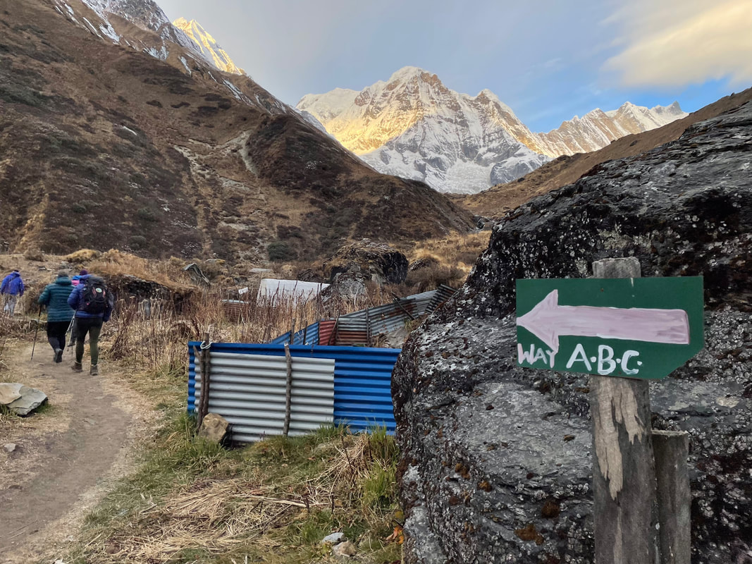
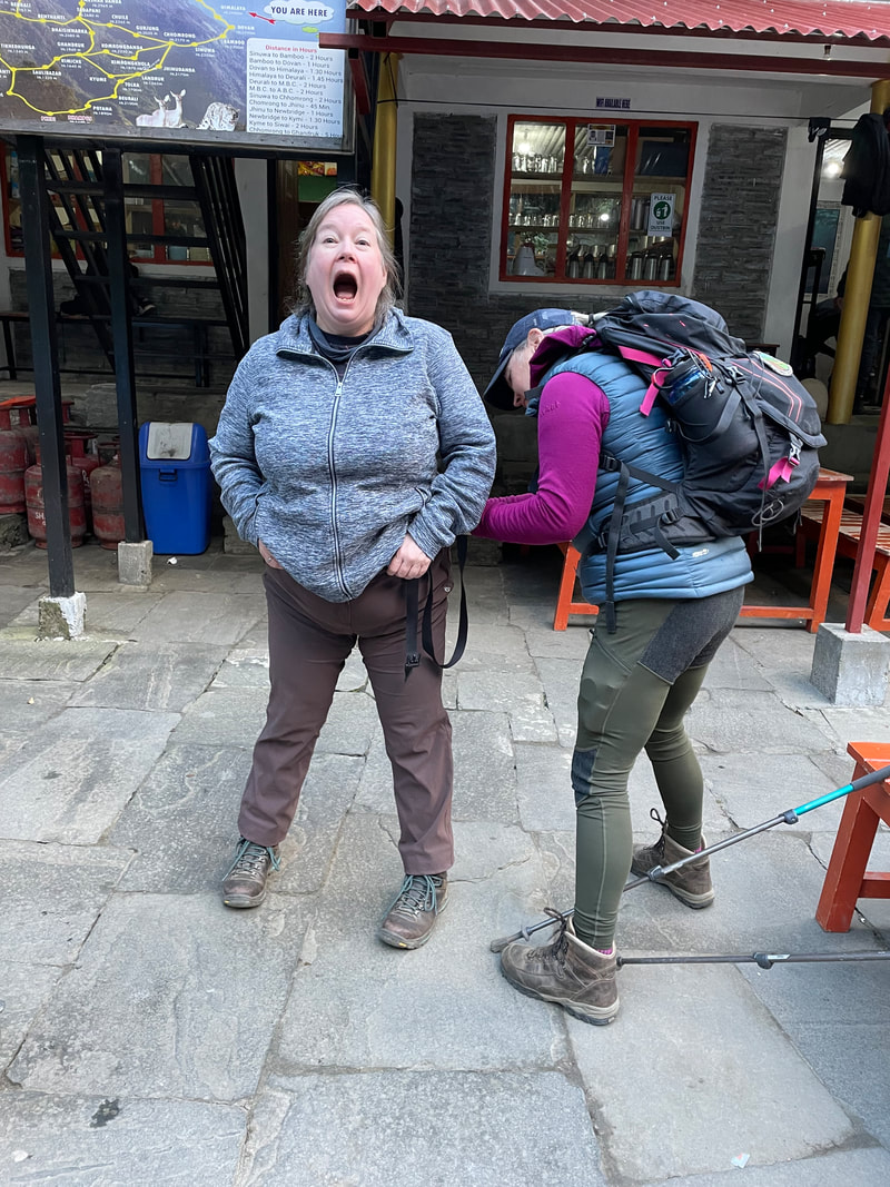
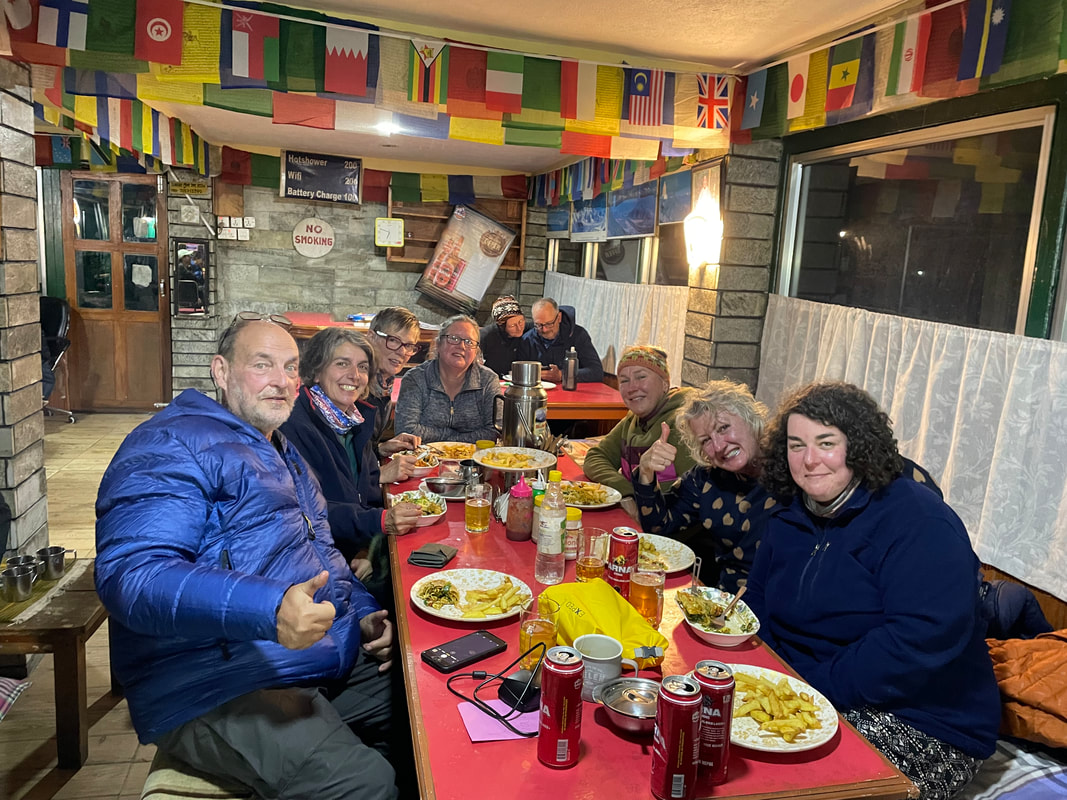
Objective achieved
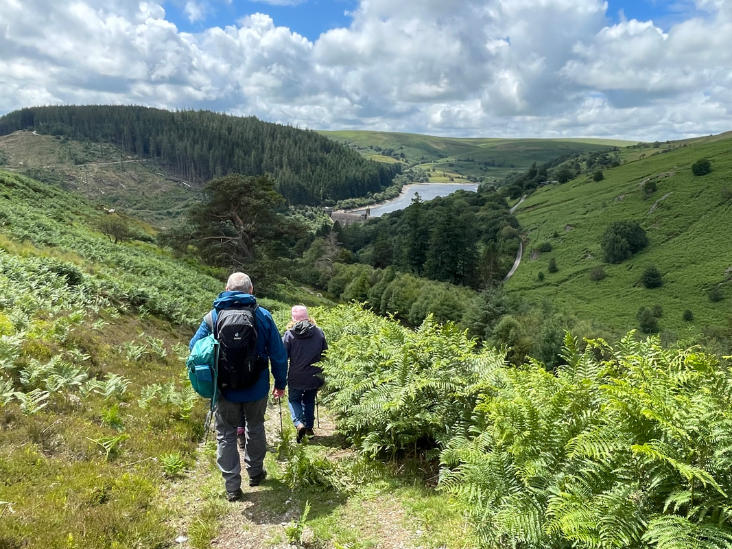
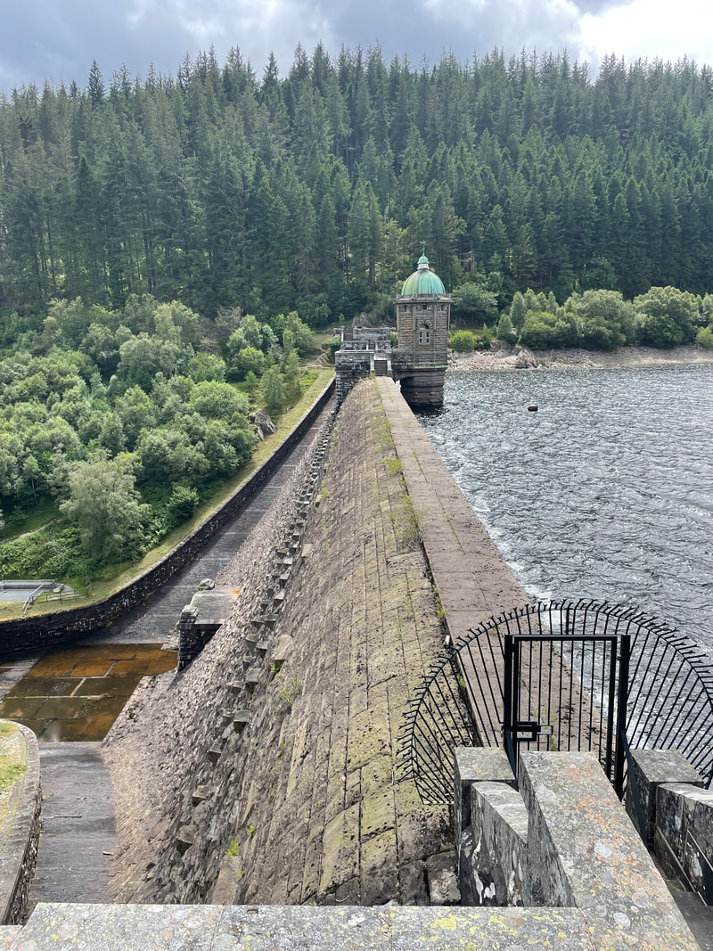
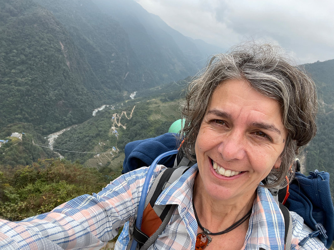
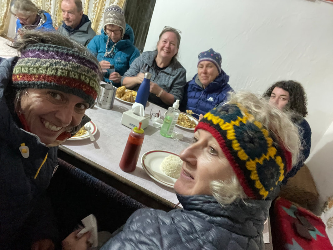
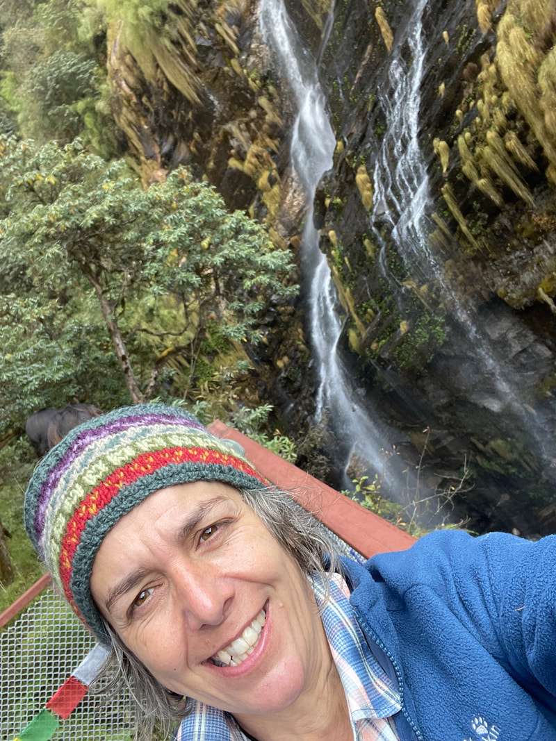
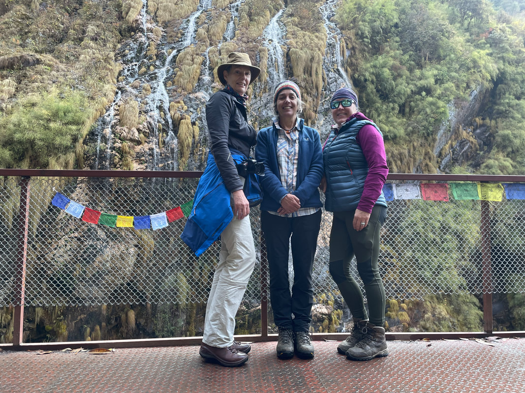
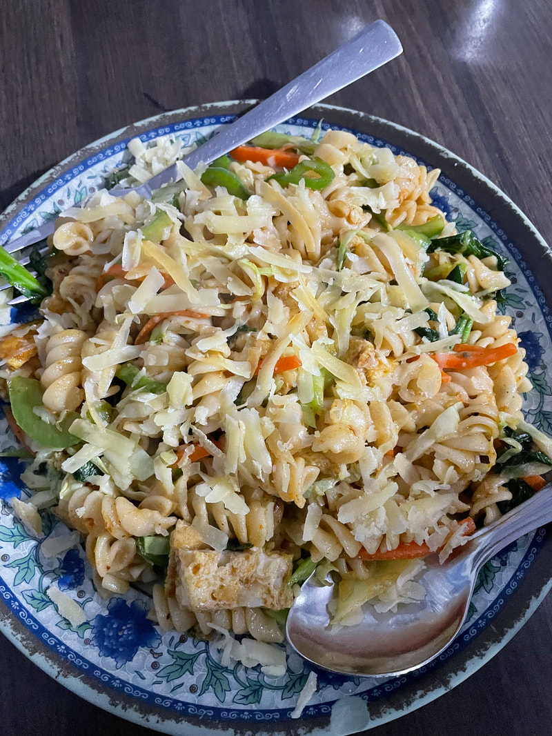
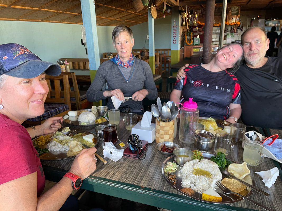
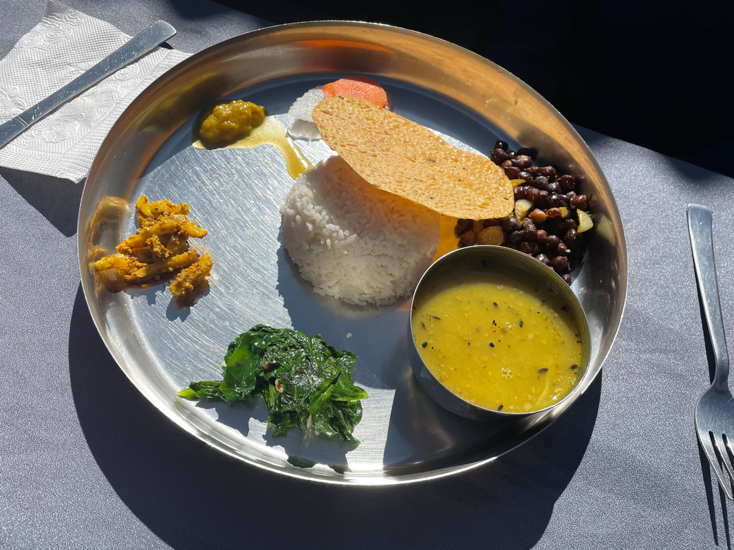
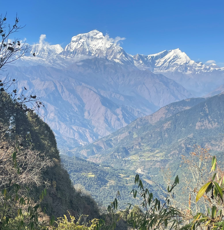
We reached Machhapuchchhre Base Camp (3700m) in the afternoon of the 13th November, with beautiful winter sunshine. We were warm on the terrace while eating our lunch which was lovely fresh food, as always. Machhapuchchhre was looking over us again, this time at close range – we really felt at its foothills. We all decided to do a bit a washing as it was so sunny but in hindsight this was silly because the winter sun was soon gone and in the morning our items were hanging on the line frozen.
After lunch Tensing suggested that we walked halfway up to ABC to acclimatise. This we did. The sun had not only gone but thick afternoon mist had descended into the valley. We walked to 3900m and then returned to MBC. Thankfully it lifted before it got dark and we were able to go and have a look at the glacial valley at the foot of Machhapuchchhre. It was amazing. The common room was very cold as temperatures had dropped to sub-zero, so we were early to bed and were to expect bed tea at 0530 ready for a 0630 start. We were very lucky with the weather and could see all the mountain tops except for Annapurna I (the highest in the horseshoe). It’s an easy gradual ascent and nobody struggled with the altitude, but we didn’t outstay our welcome at the Base Camp, as affects soon might set in. We were elated on reaching the Annapurna Base Camp (4130m) and took many photos. We did take the opportunity to have a quick cup of tea while there – well, why not have the highest cup of tea on the trek!
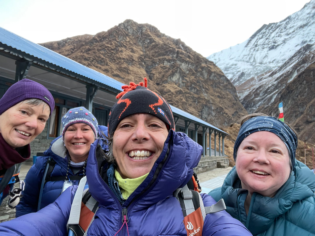
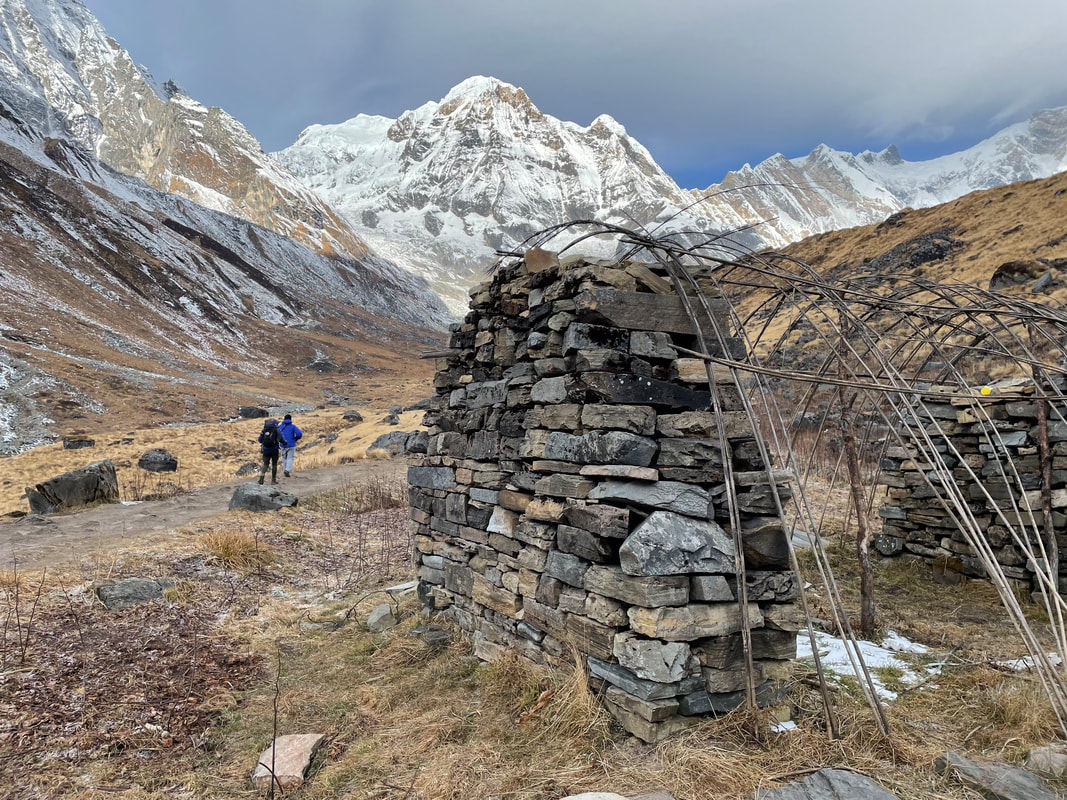
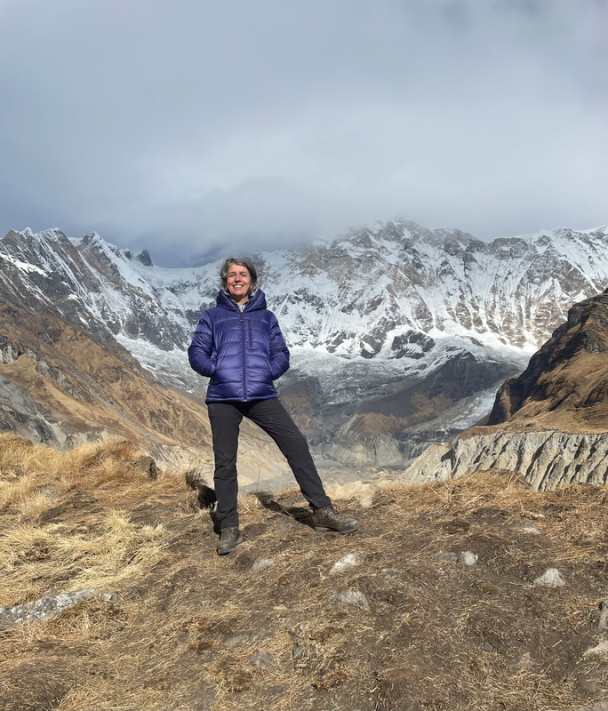
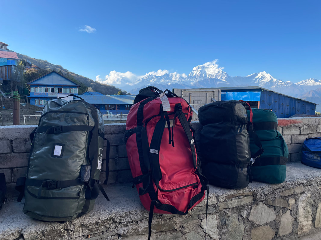
Trekking highlights: Reaching ABC all safe and well! The weather being very much in our favour, we could see all the peaks except for Annapurna I. In the horseshoe - Patel Hiunchuli (6441m), Annapurna South (7219m), Bharha Chuli (7647m), Annapurna I (8091m), Singh Chuli (6501m), Annapurna III (7555m). The glacial valleys are amazing.
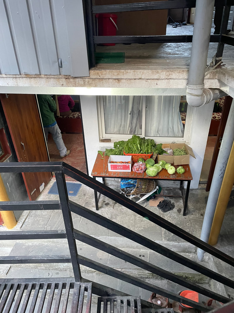
| Lodge: Himalaya Altitude: 2900m My rating for the Lodge (max 40) Food: 10 Ambience: 10 Shower and toilet: 10 Sleeping: 10 Total: 40 | 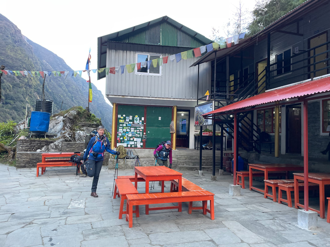 |
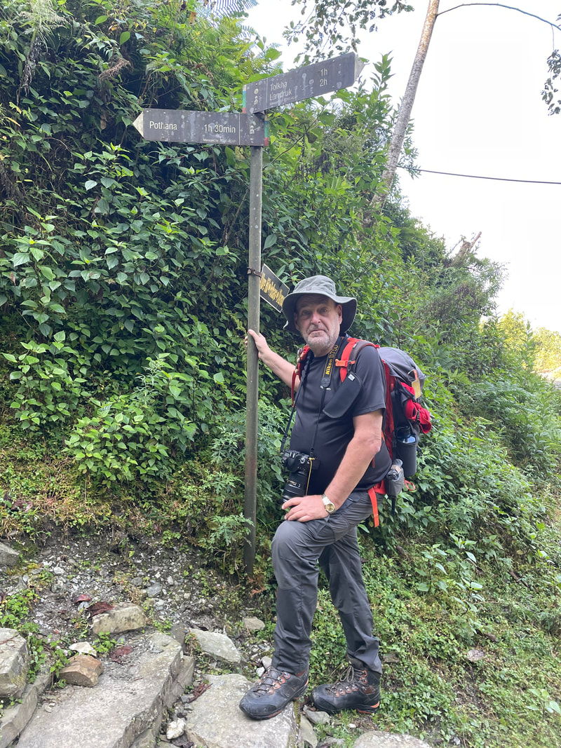
Day 7 November 15th
Himalaya to Chomrong
No Data
Himalaya to Chomrong
No Data
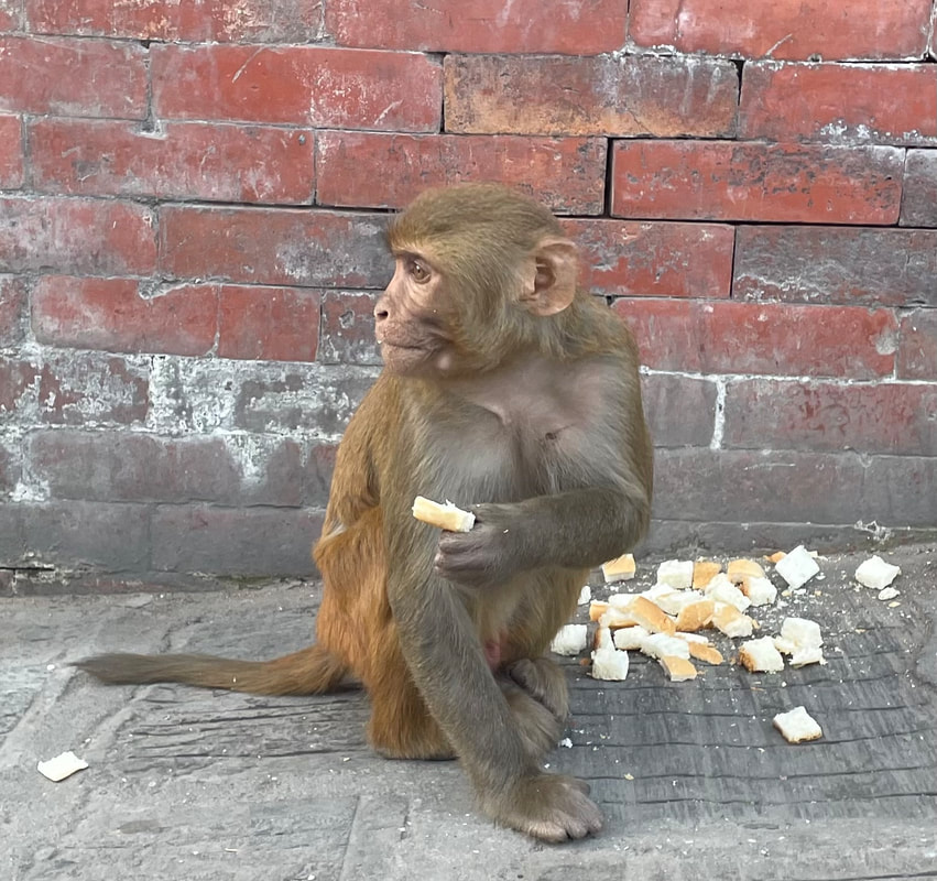
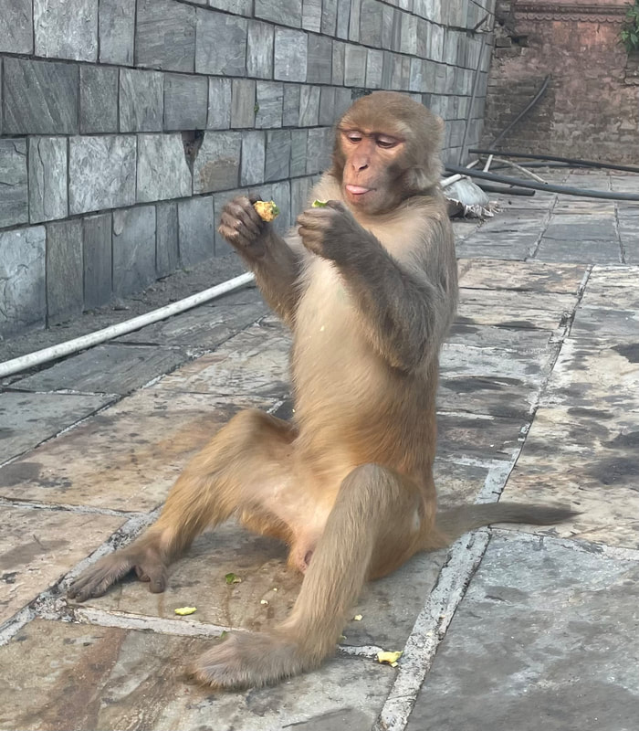
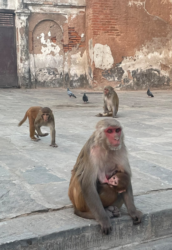
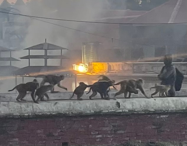
Trekking highlight: Seeing Lounger monkeys in their natural habitat and also two more Yellow Throated Martins (bit like a Pine Martin). It was great to be reunited with the rest of the group.
| Lodge: Excellent View Top Lodge (Chomrong) Altitude: 2200m My rating for the Lodge (max 40) Food: 10 Ambience: 9 Shower and toilet: 10 Sleeping: 10 Total: 39 | 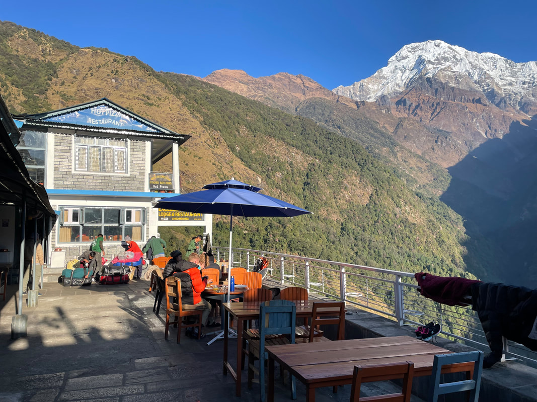 |
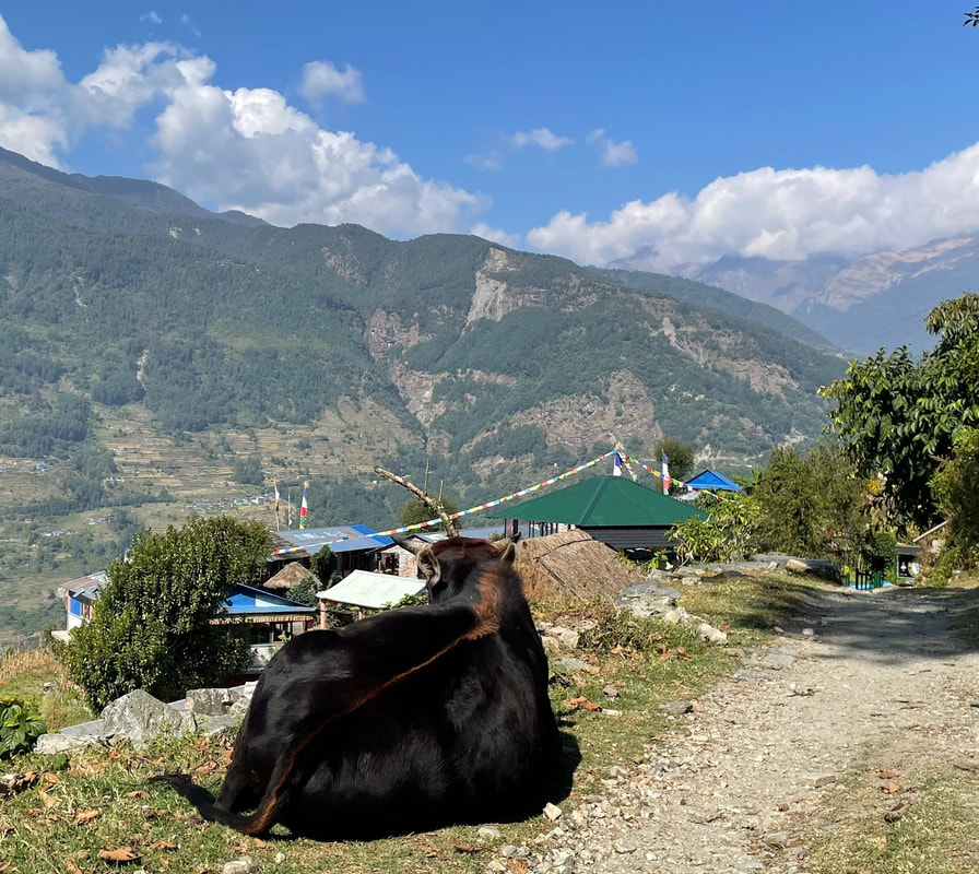
Day 8 November 16th
Chomping to Tadapani
Distance: 11.5km
Total ascent: 1132m
Total descent: 670m
Max altitude: 2690m
Walking time: 7hr
Chomping to Tadapani
Distance: 11.5km
Total ascent: 1132m
Total descent: 670m
Max altitude: 2690m
Walking time: 7hr

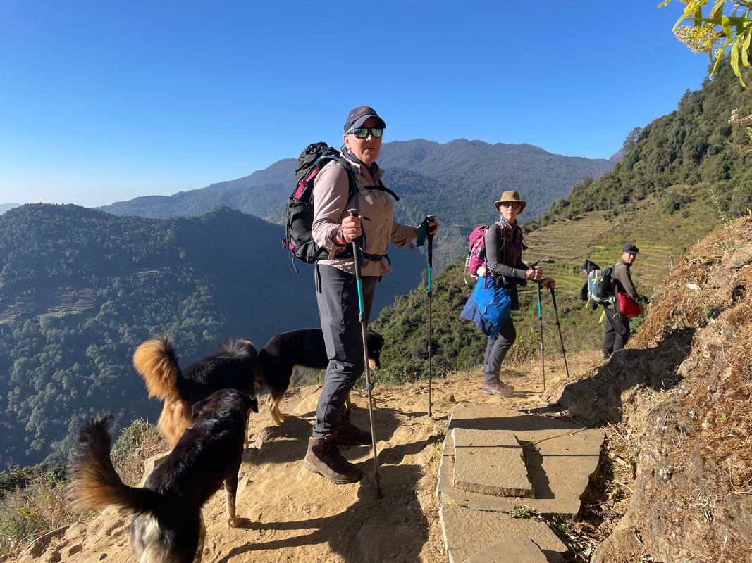
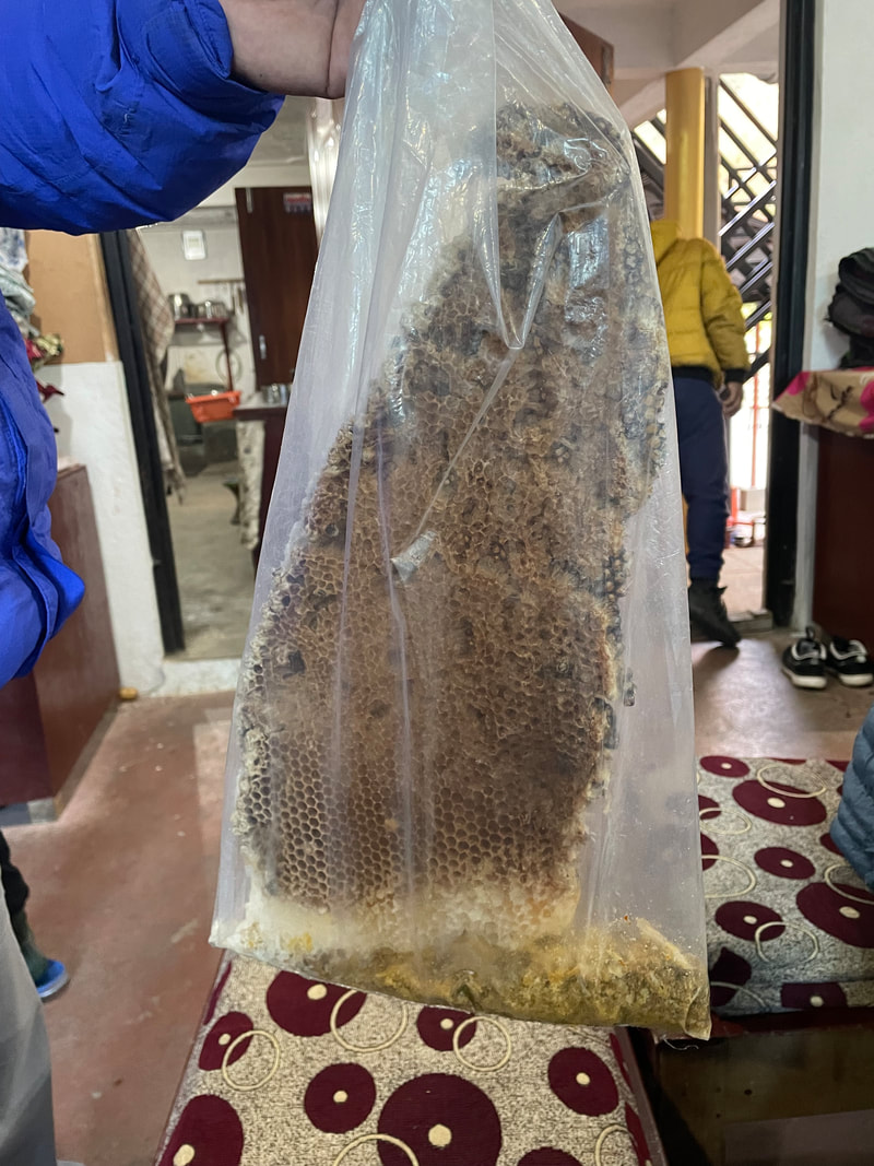
Trekking highlight: To cover new ground, beautiful wooded paths and interesting undulating terrain. Watching eagles soaring up above and a huge bee hive in a tree where we stopped for a short break at the Sunshine Restaurant.
| Lodge: Himalaya Tourist Guest House (Tadapani) Altitude: 2688m My rating for the Lodge (max 40) Food: 10 Ambience: 10 Shower and toilet: 10 Sleeping: 7 Total: 37 | 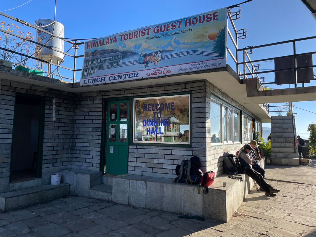 |
Day 9 November 17th
Tadapani to Ghorepani
Distance: 10.8km
Total ascent: 970m
Total descent: 676m
Max altitude: 3200m
Walking time: 7hr
Tadapani to Ghorepani
Distance: 10.8km
Total ascent: 970m
Total descent: 676m
Max altitude: 3200m
Walking time: 7hr
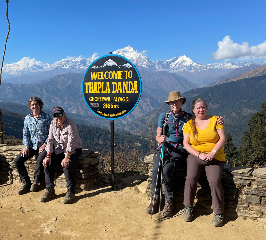
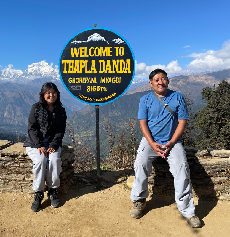
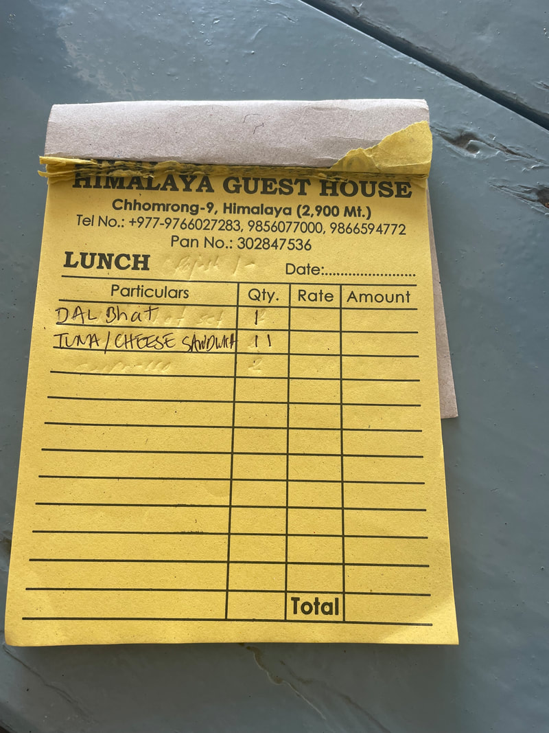
Trekking highlight: Reaching the Thapla Danda view point. Beautiful and varied scenery. Another delicious Dal Bat lunch at Hotel Laliguras Restaurant (3050m). Watching the porters play volley ball together as the light faded at Ghorepani.
| Lodge: Sunny hotel (Ghorepani) Altitude: 2870m My rating for the Lodge (max 40) Food: 10 Ambience: 10 Shower and toilet: 10 Sleeping: 10 Total: 40 | 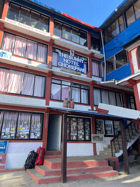 |
Day 10 November 18th
Ghorepani to Banthanti
Distance: 6.5km
Total ascent: 123m
Total descent: 709m
Max altitude: 2881m
Walking time: 2.5hr
Ghorepani to Banthanti
Distance: 6.5km
Total ascent: 123m
Total descent: 709m
Max altitude: 2881m
Walking time: 2.5hr
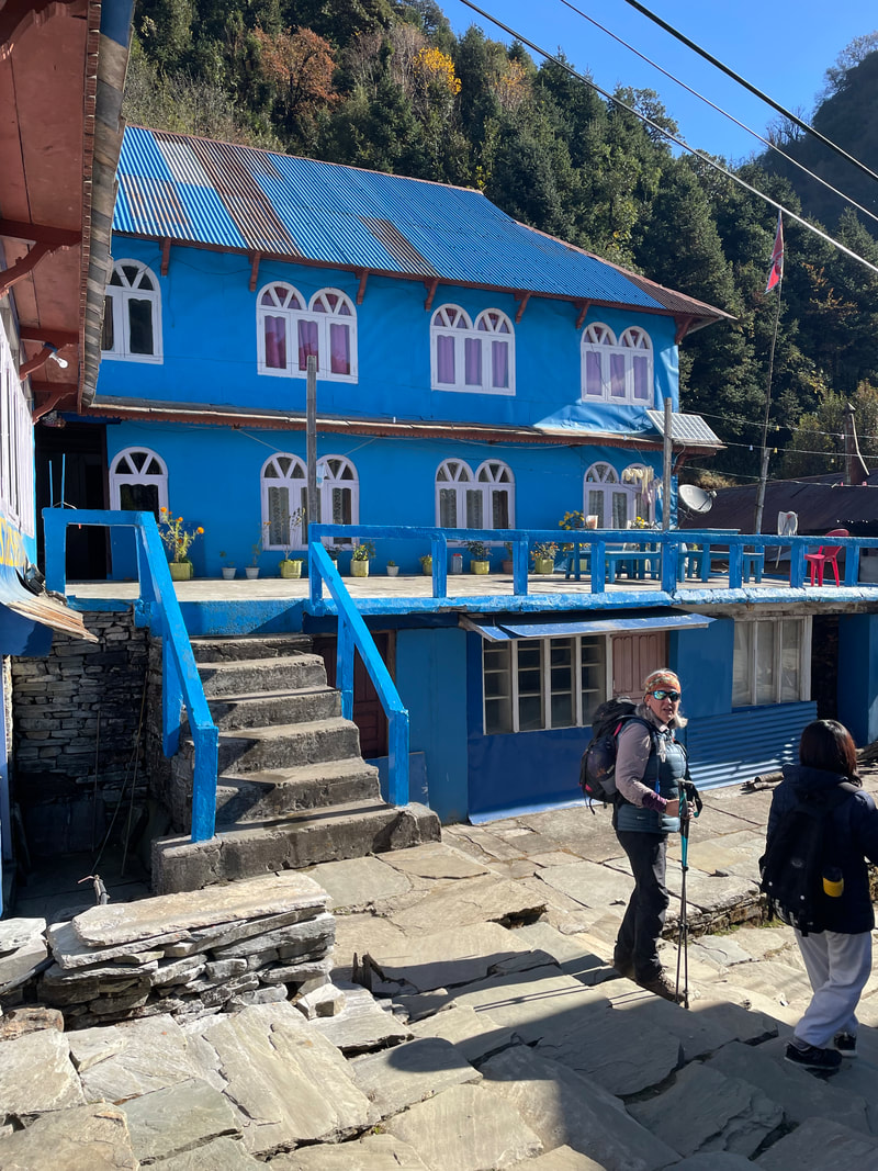
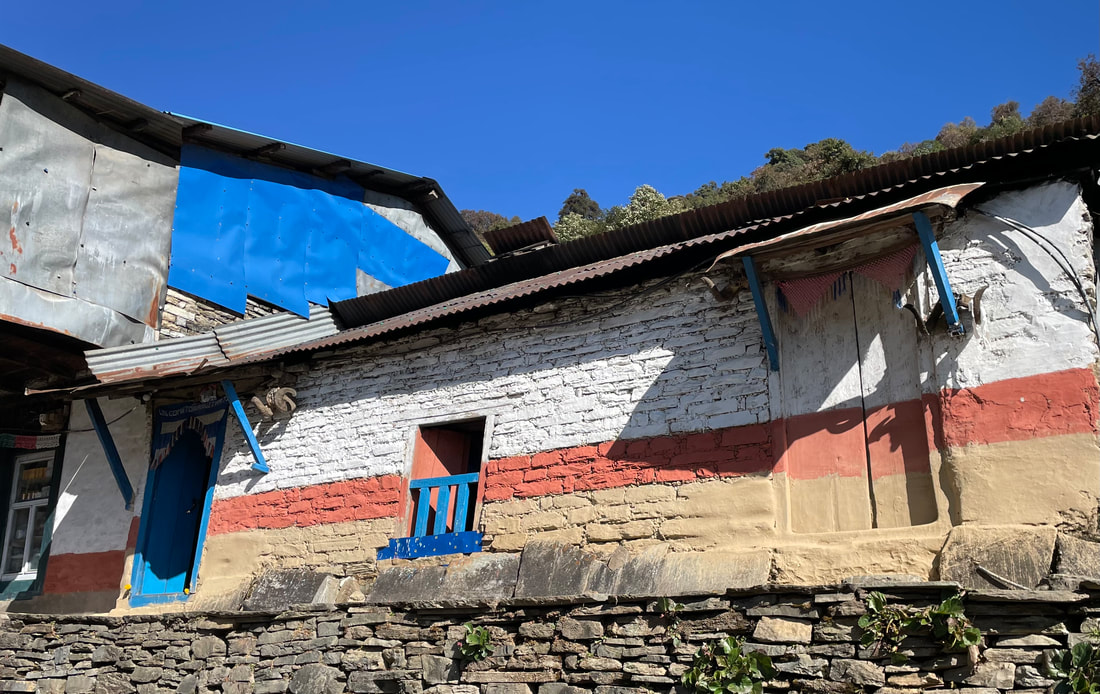

Trekking highlight: I made a point of walking with Alan on the last day, I felt like I'd hardly seen him. The villages down from Ghorepani are beautiful old buildings, mostly painted blue and white with the typical small and organised veggie patches. From our path we could see over the valley back up to the view point of the day before.
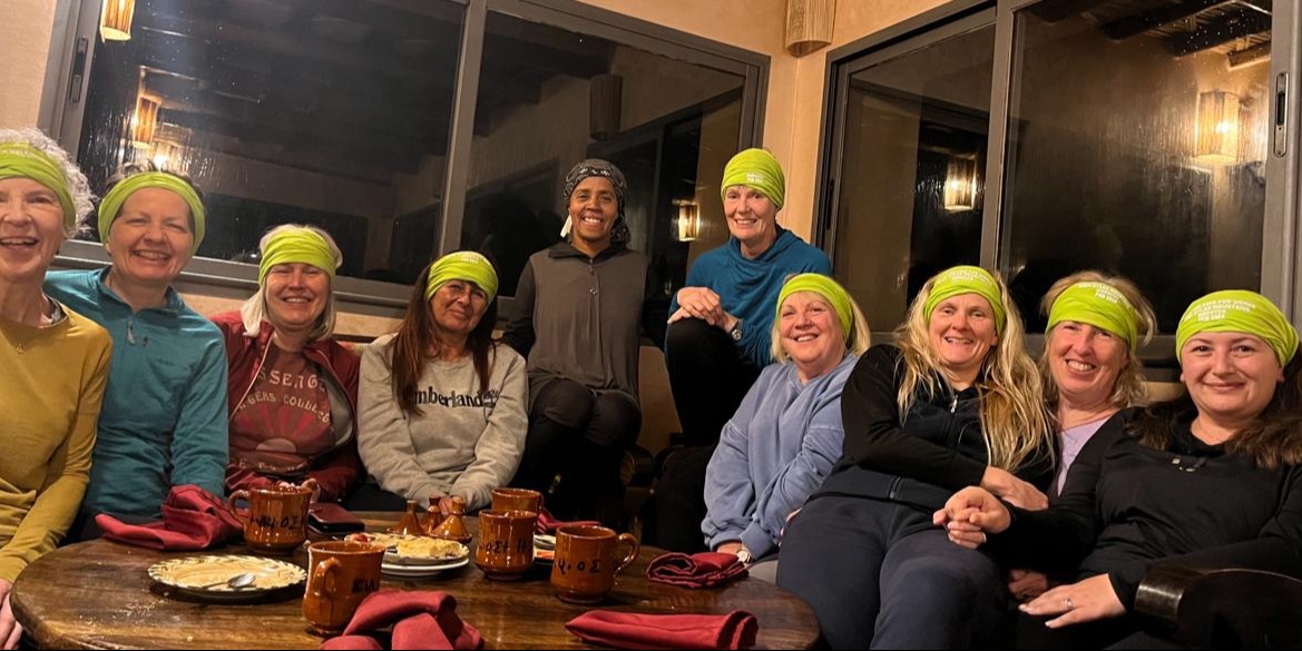
Thank you!
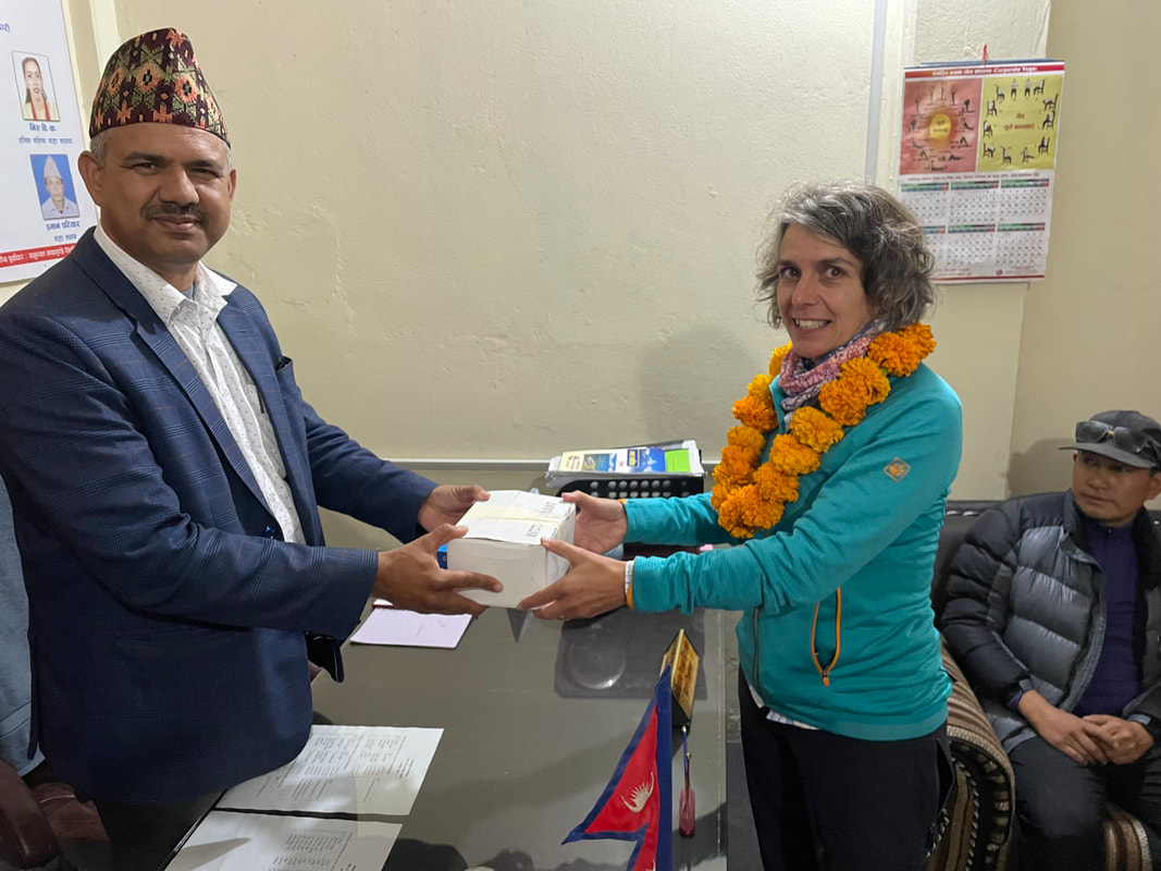
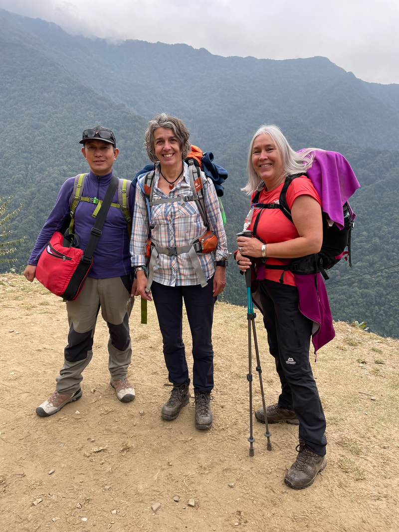
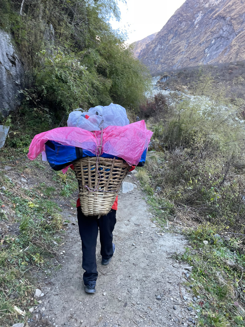
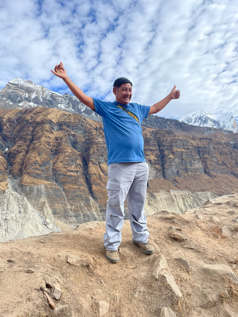
I would like to thank firstly our porters who work so hard and reliably get to the lodges before us and have our bags waiting for us to arrive, the guides Tensing, Nurbu and Domar for their experience and care for us throughout the trek, Tulsi for putting together a superb trek itinerary with a pre and post trek program and included our very special visit to Dhampus, and lastly Alan Ward who we relied on for logistics, contingencies and humour. I sincerely hope it won't be your last visit to the Himalayas Alan.
I would like to thank firstly our porters who work so hard and reliably get to the lodges before us and have our bags waiting for us to arrive, the guides Tensing, Nurbu and Domar for their experience and care for us throughout the trek, Tulsi for putting together a superb trek itinerary with a pre and post trek program and included our very special visit to Dhampus, and lastly Alan Ward who we relied on for logistics, contingencies and humour. I sincerely hope it won't be your last visit to the Himalayas Alan.
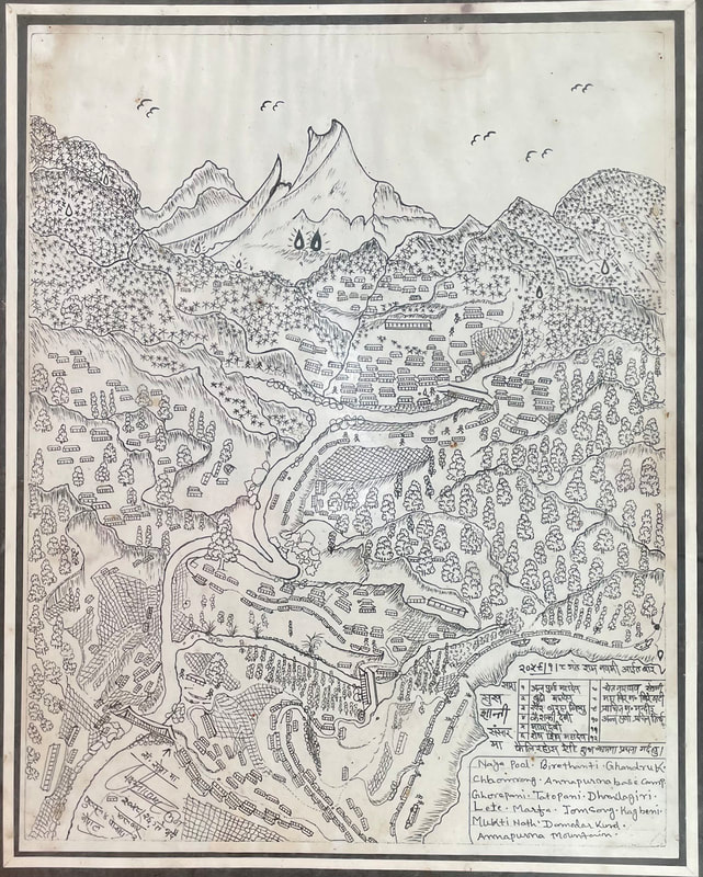
A beautiful drawing in the cafe at Birethanti where we presented the tips and thank you gifts. The drawing has everything to remind me of the beautiful Annapurna region - the lodges, suspension bridges, eagles, rice fields, jungles and more. I hope that the artist won't mind me sharing it on here.
Closing thoughts
After this trek I questioned why it is that I enjoy trekking so much and why I enjoy being at high altitude.
I feel so privileged to have the experience for 2 reasons:
1. To be able to afford and logistically get there easily.
2. That the locals welcome us into their way of life and give us standards and comforts, that might be lower than what we are used to, but probably far higher than their own.
I also like to welcome and enjoy the challenges so that those challenges don't become hardships, and I like to embrace, respect and enjoy the differences in culture so that those differences don't become difficulties or misunderstandings.
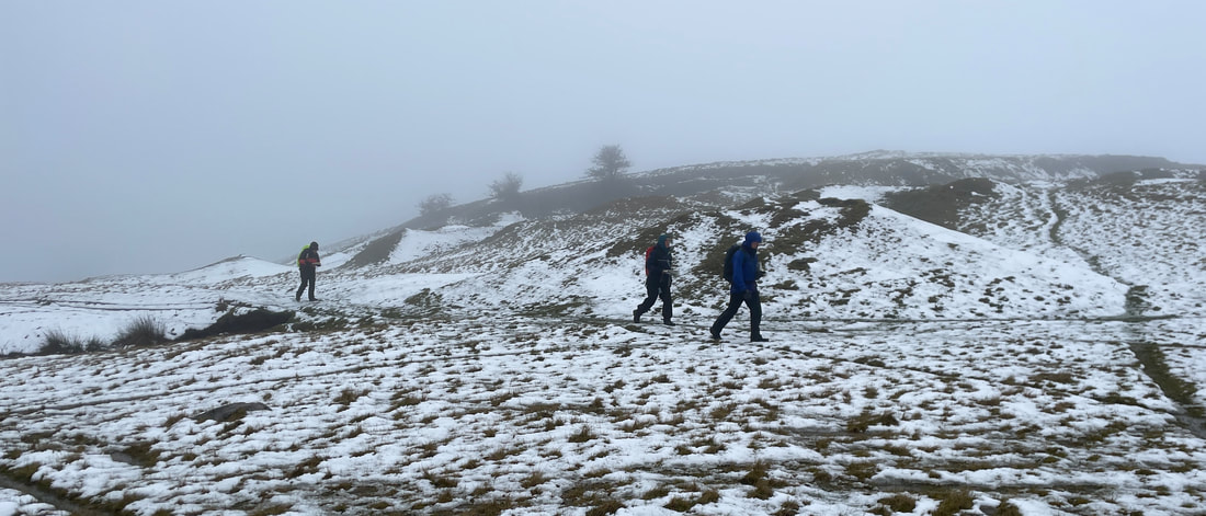
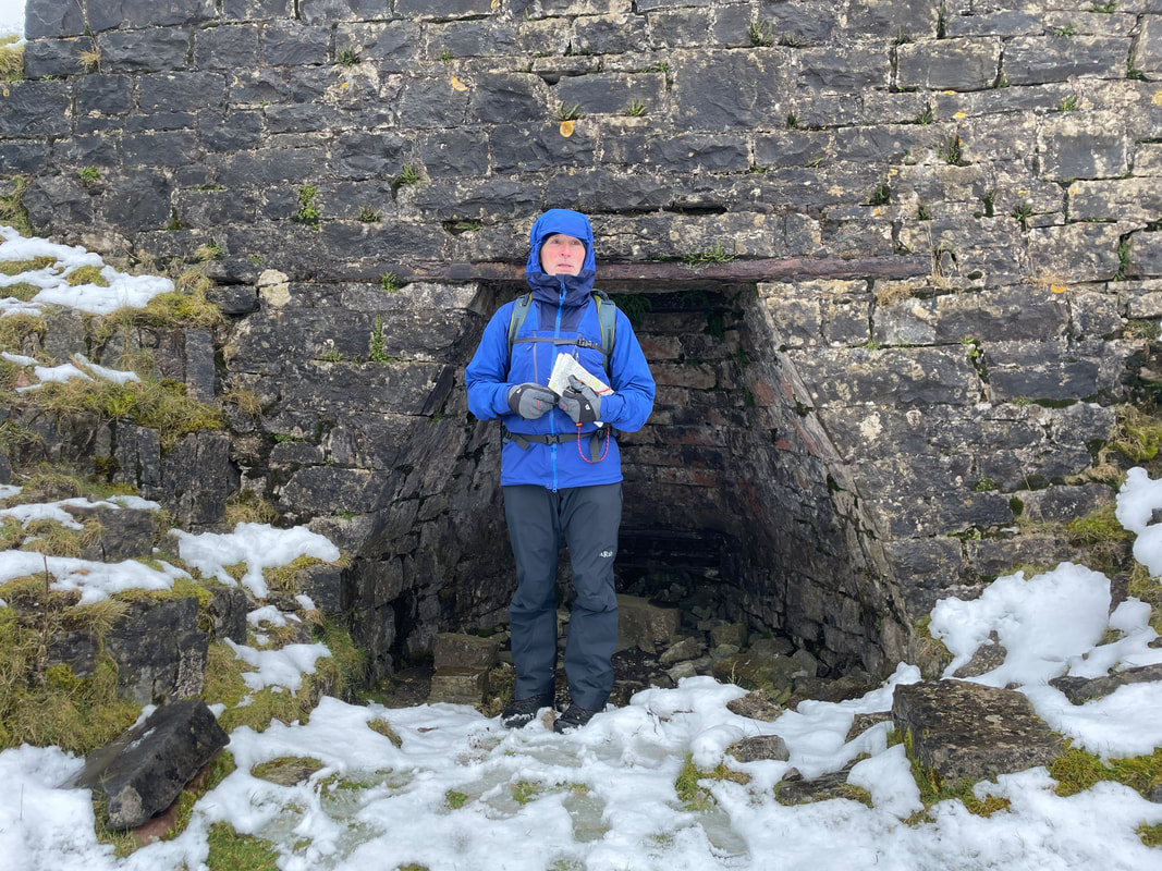
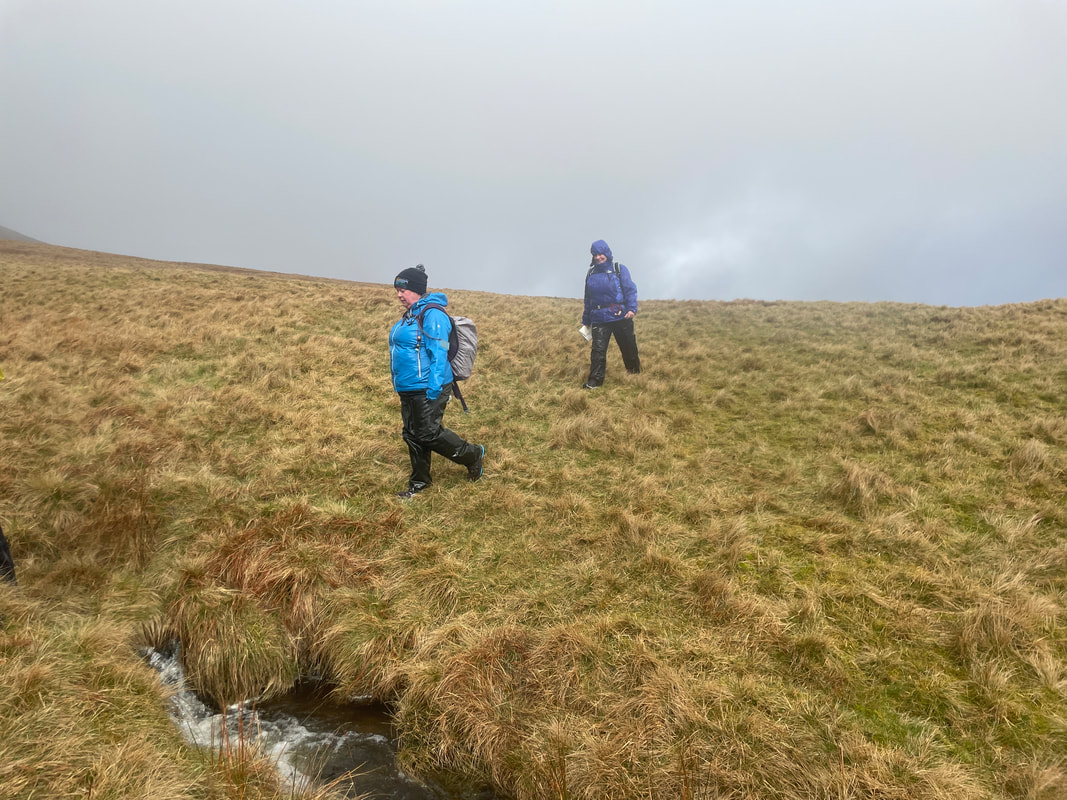
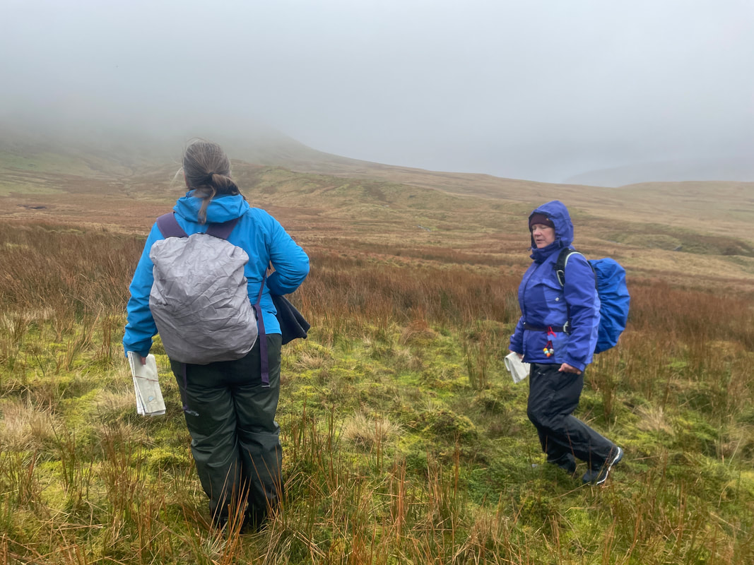
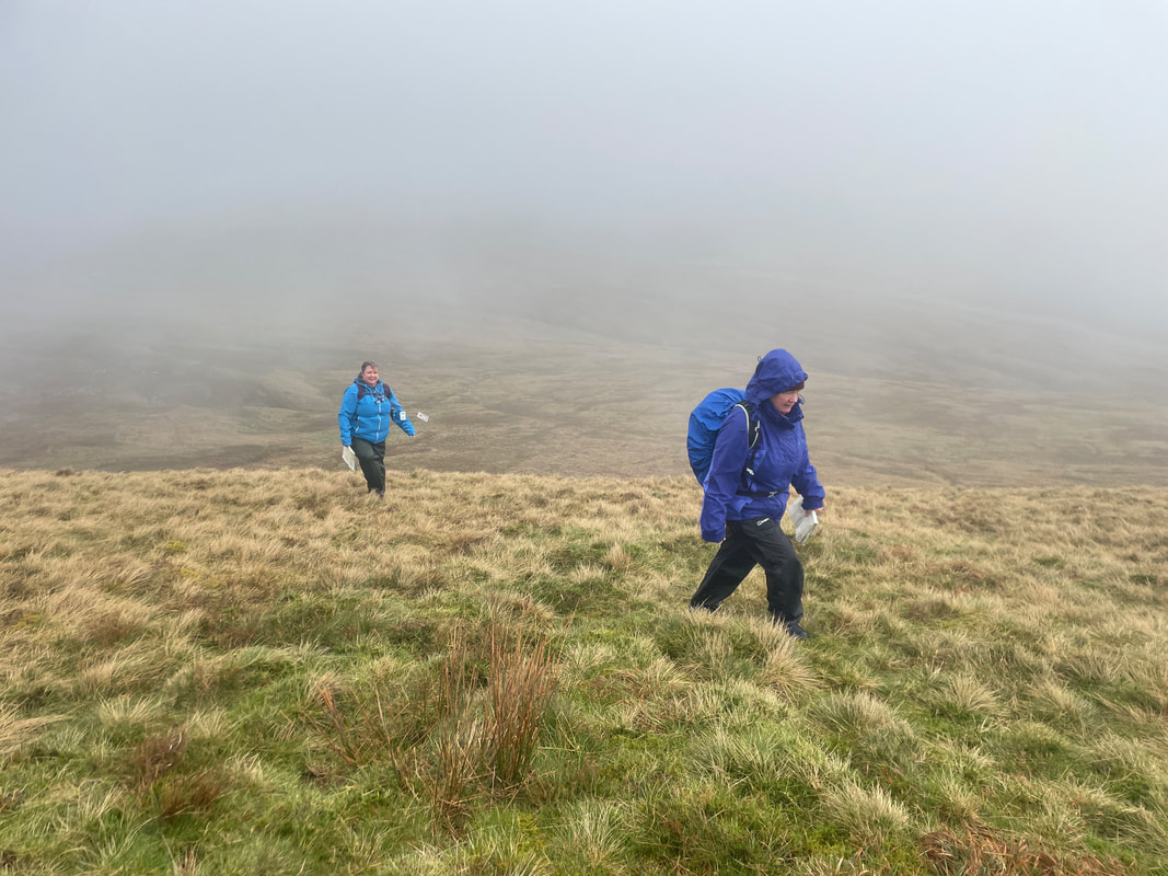
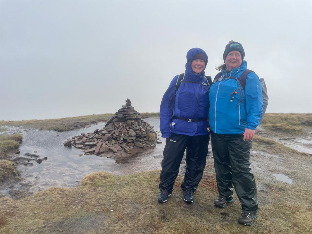
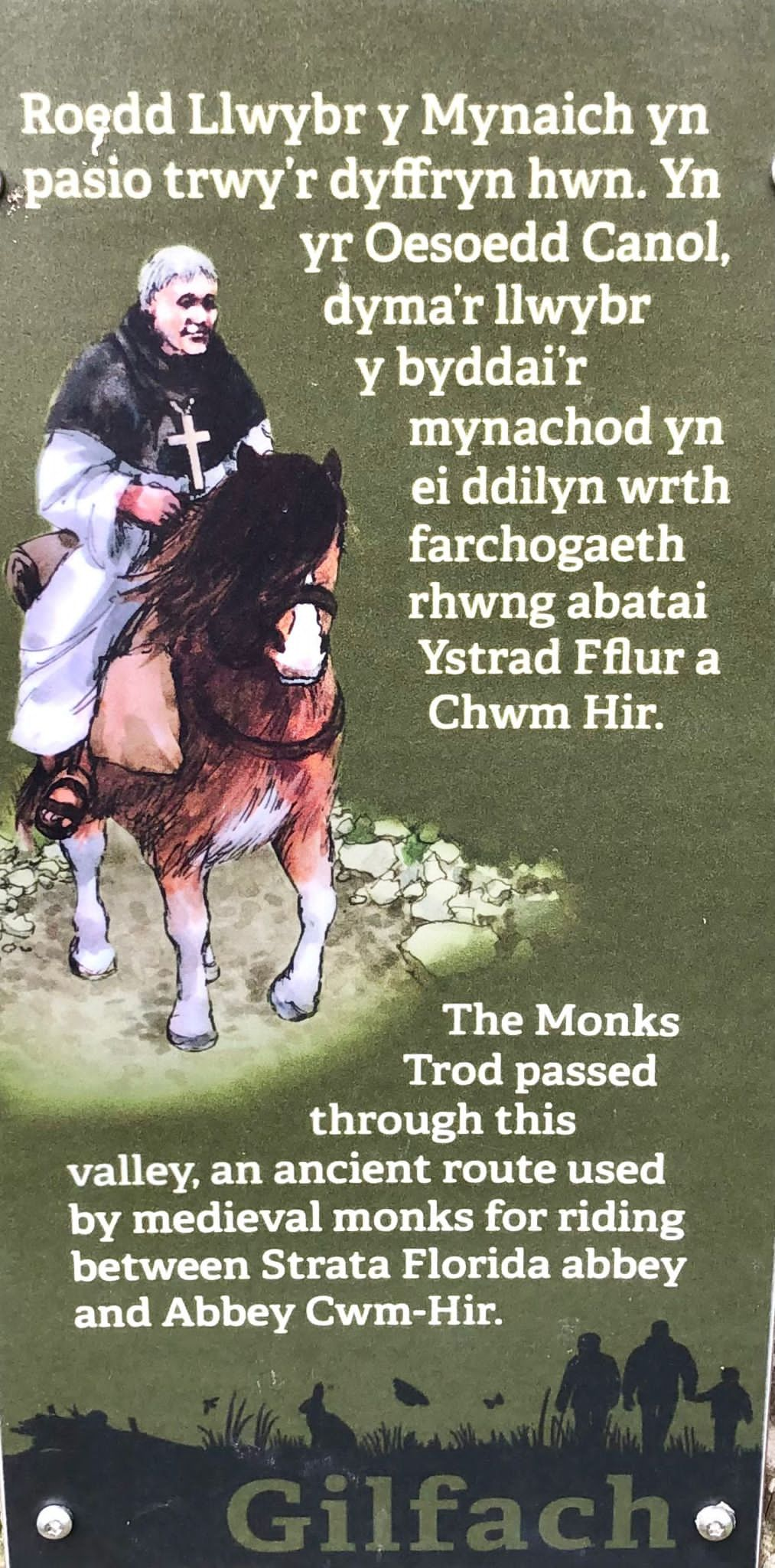
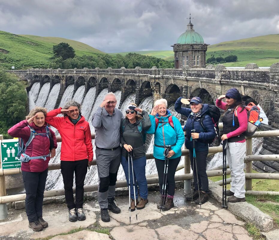
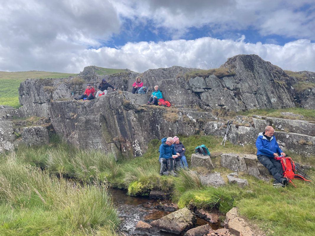
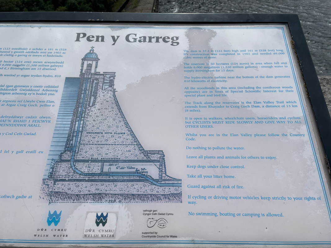
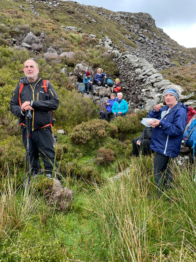
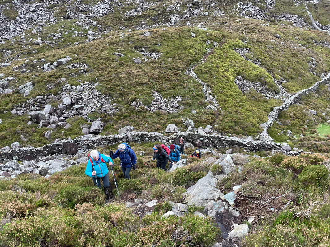
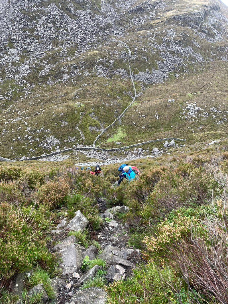
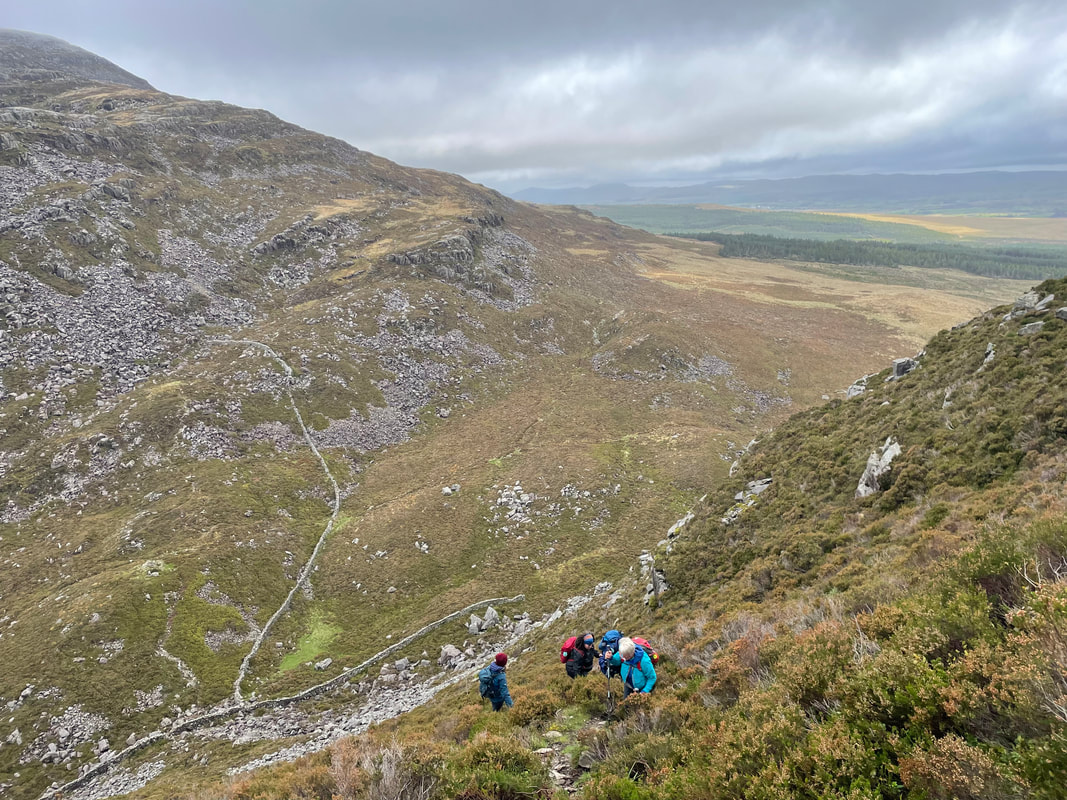
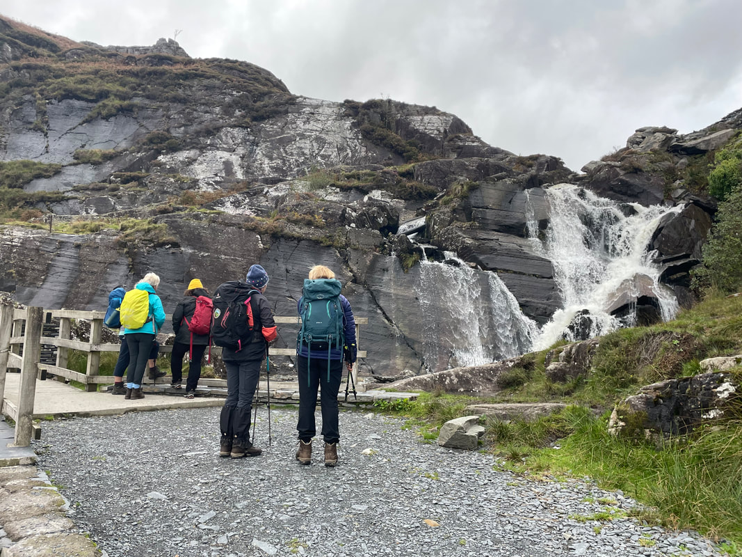
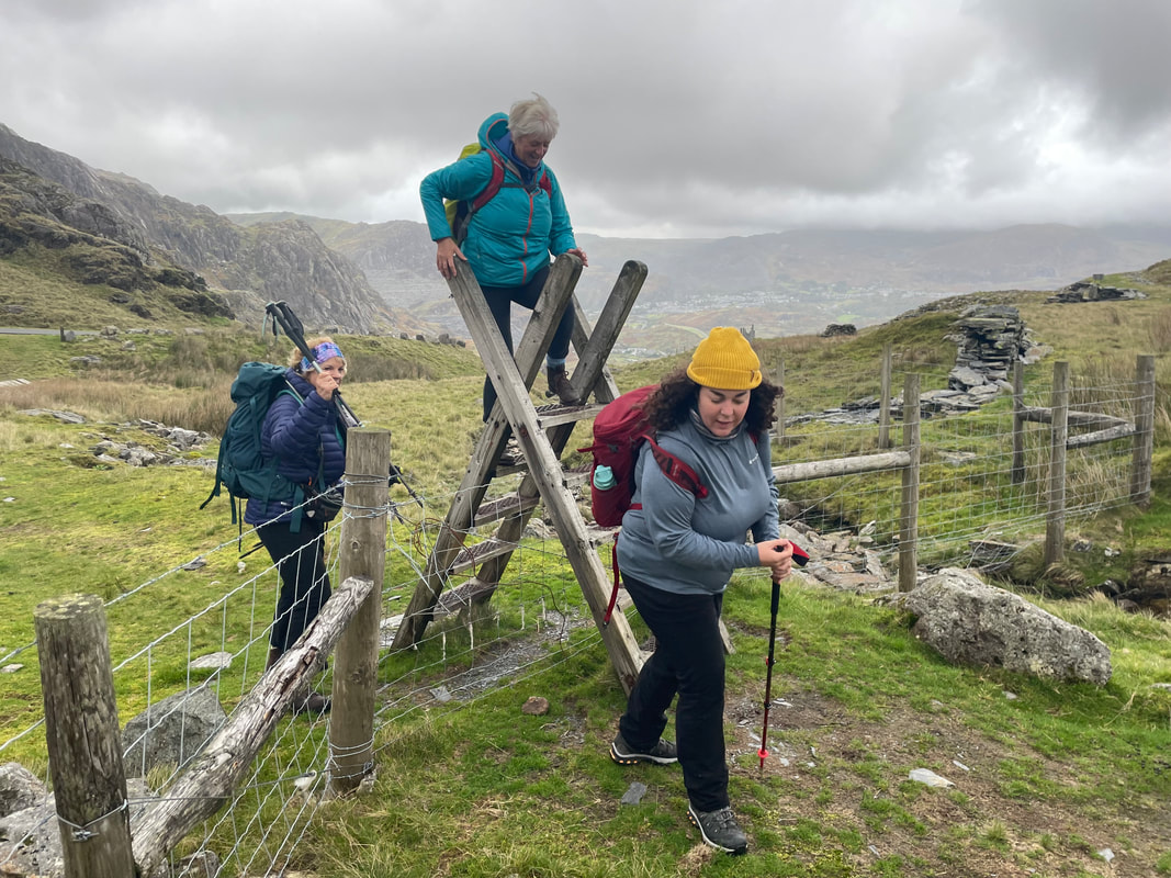
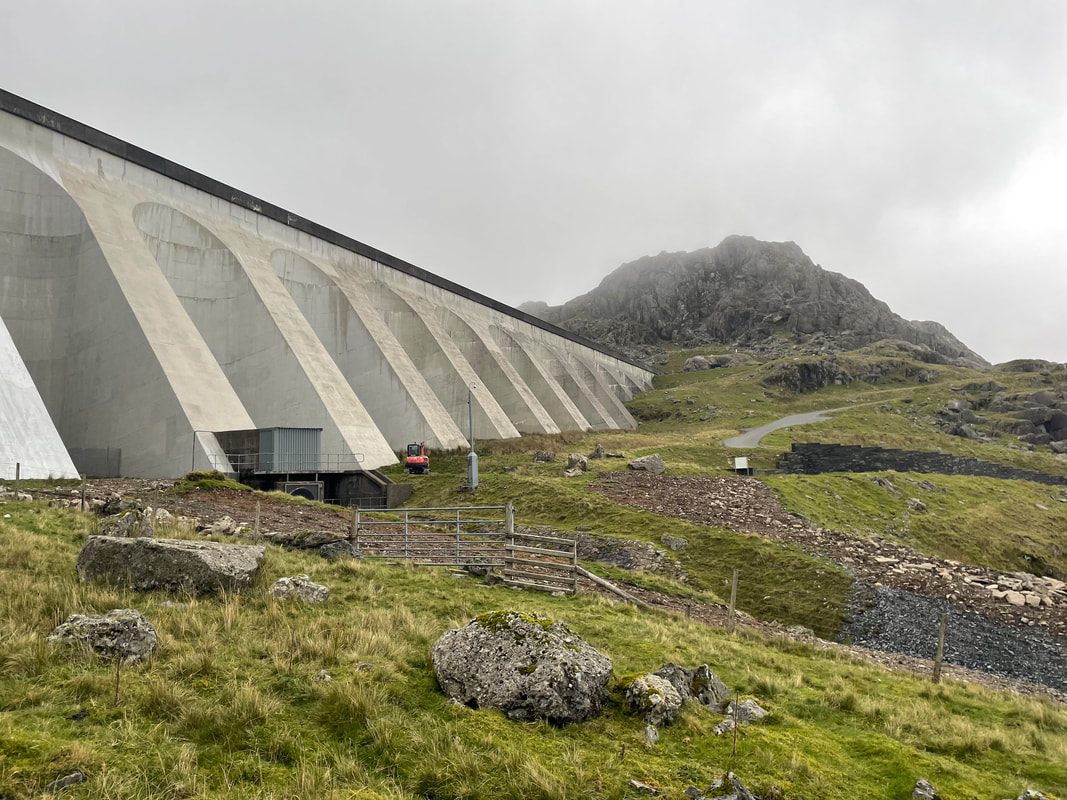
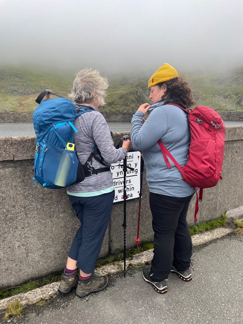
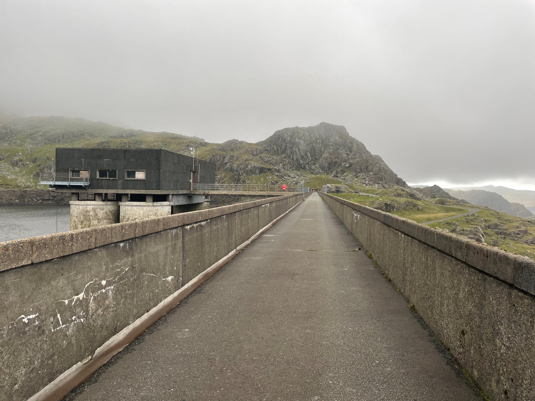
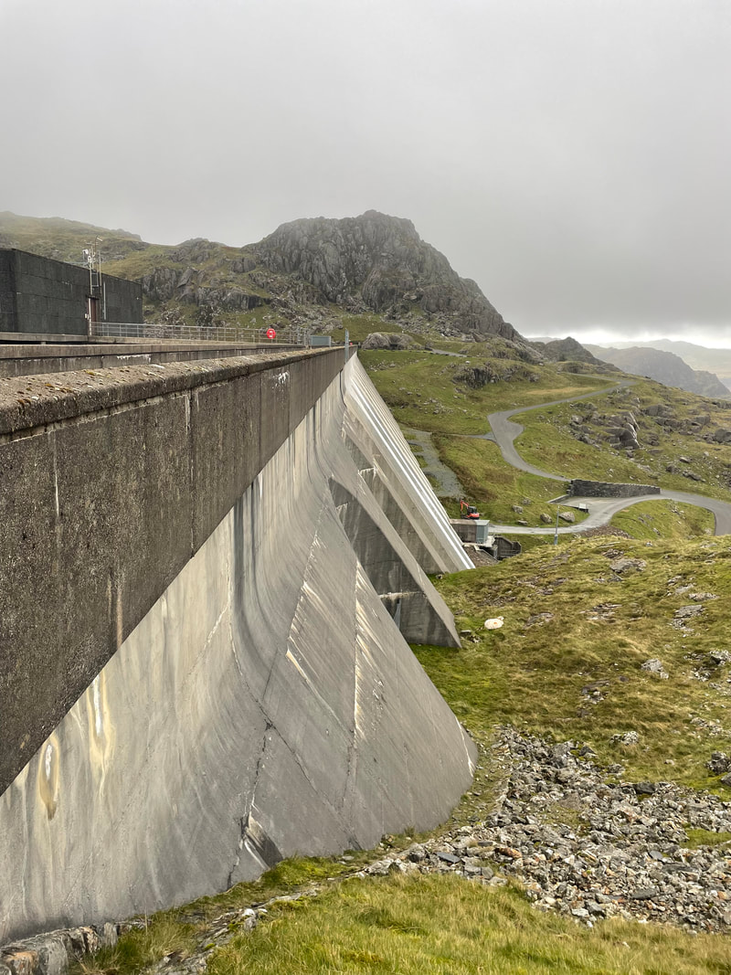
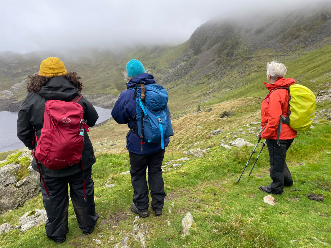
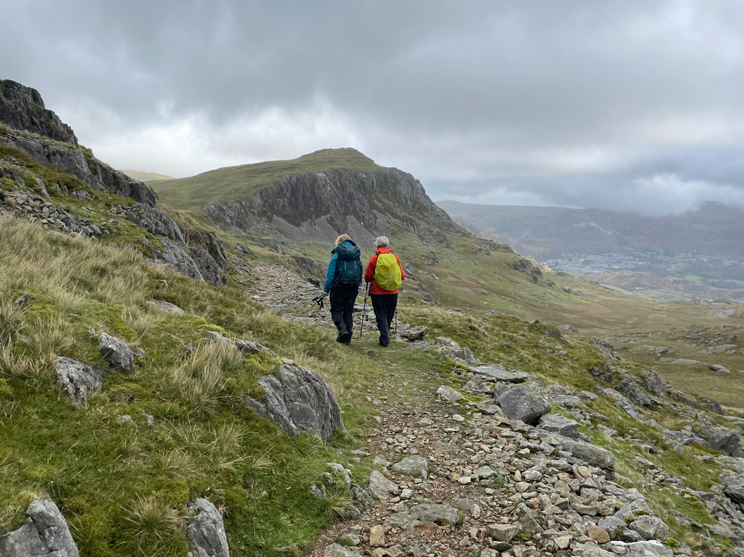
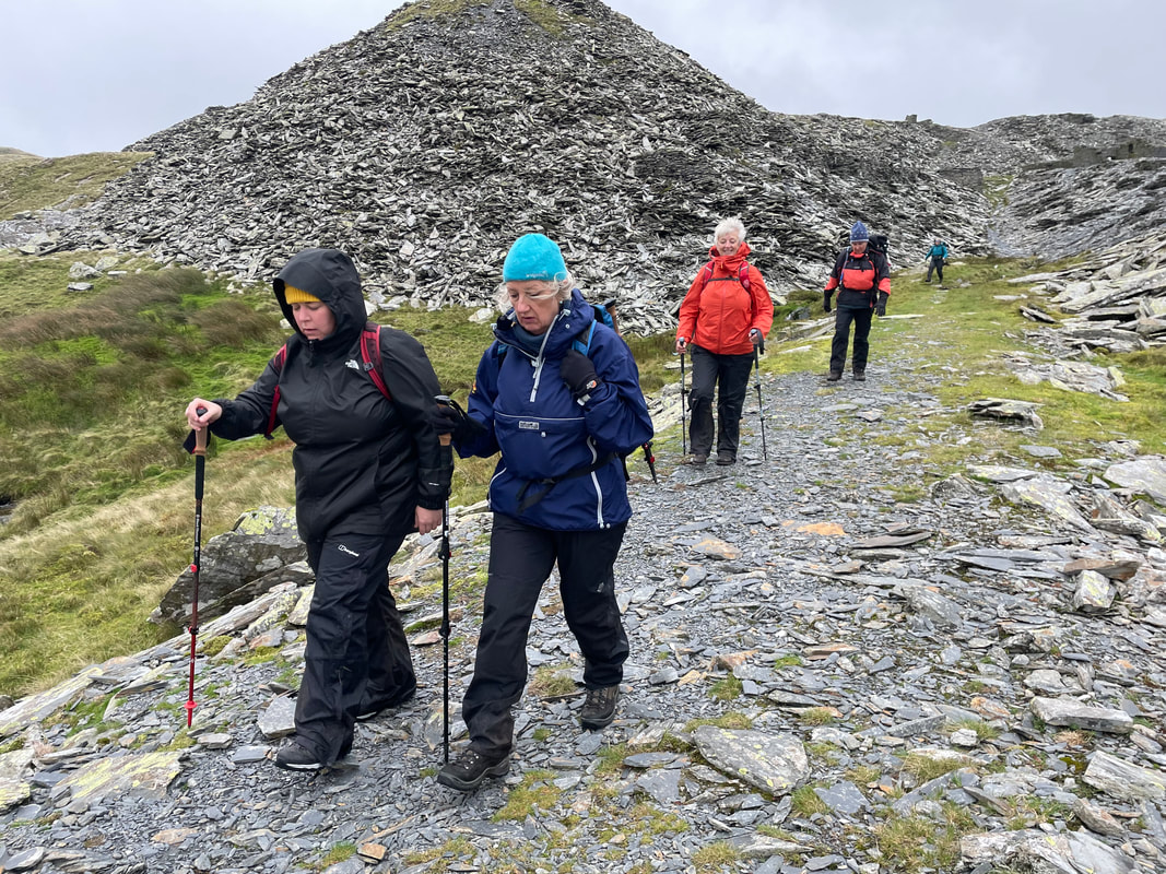
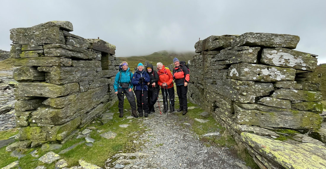
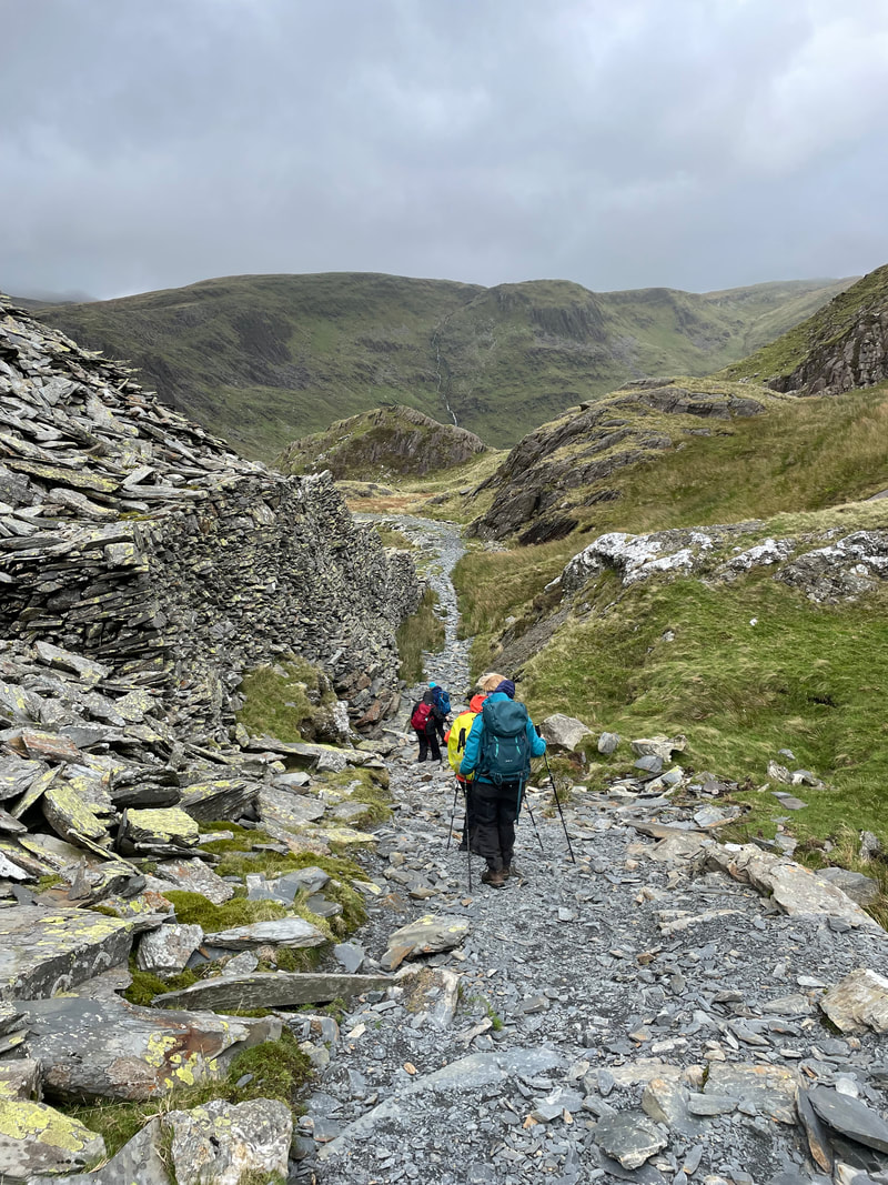
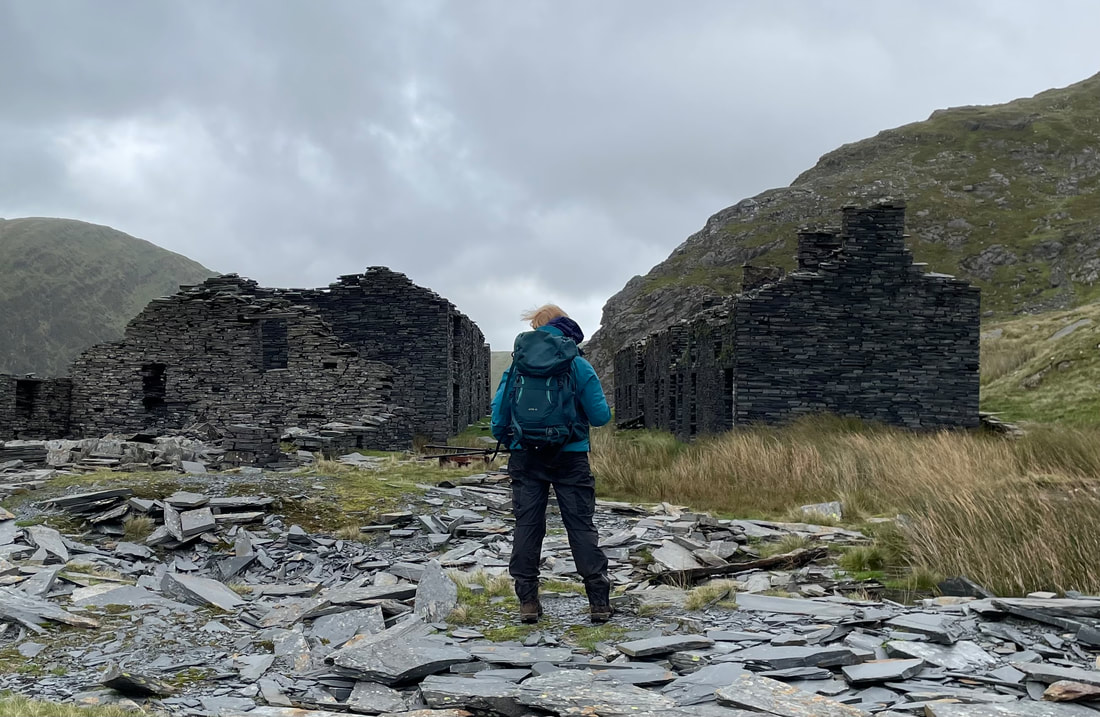
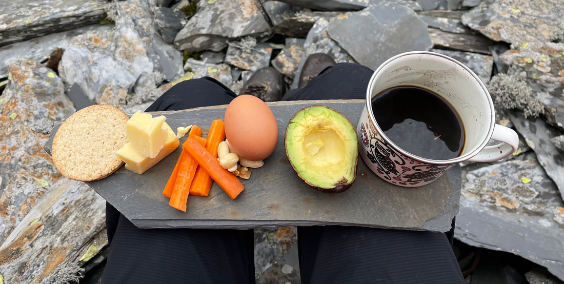
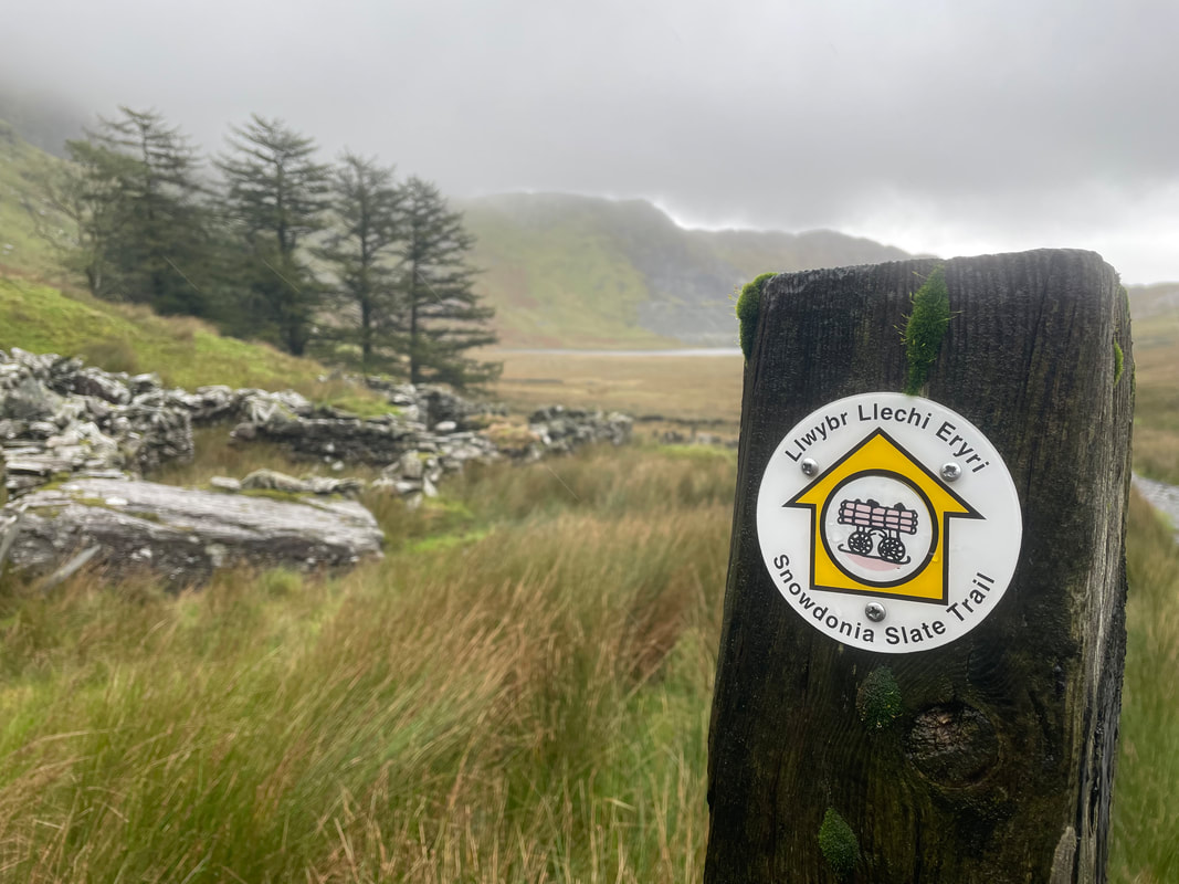
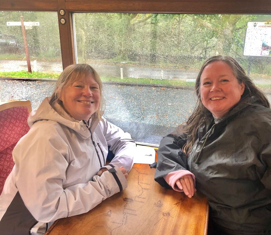
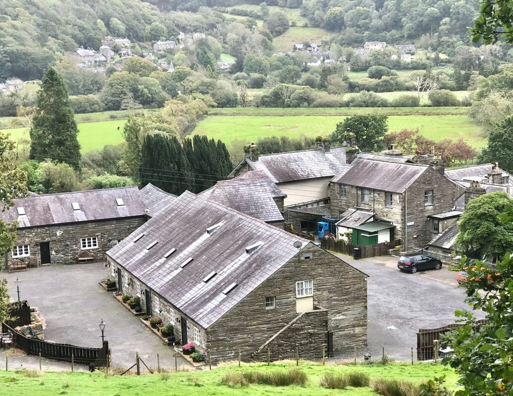
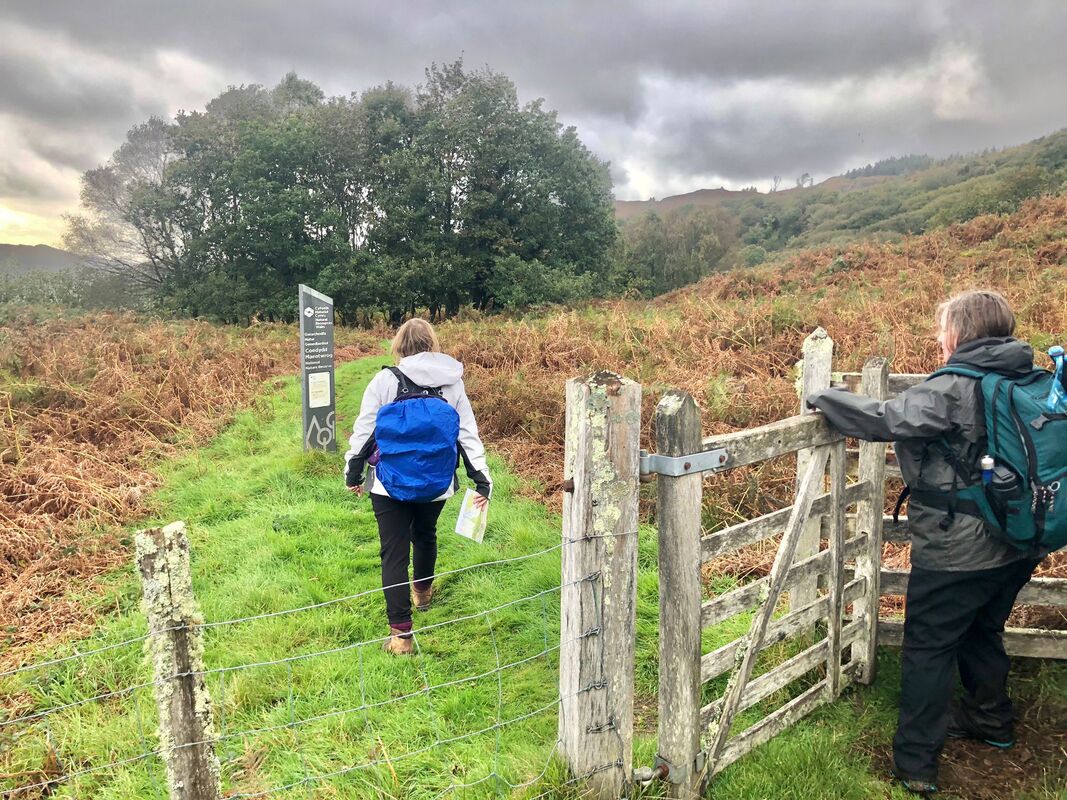
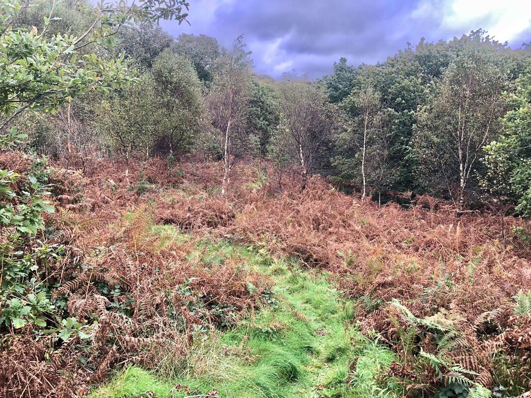
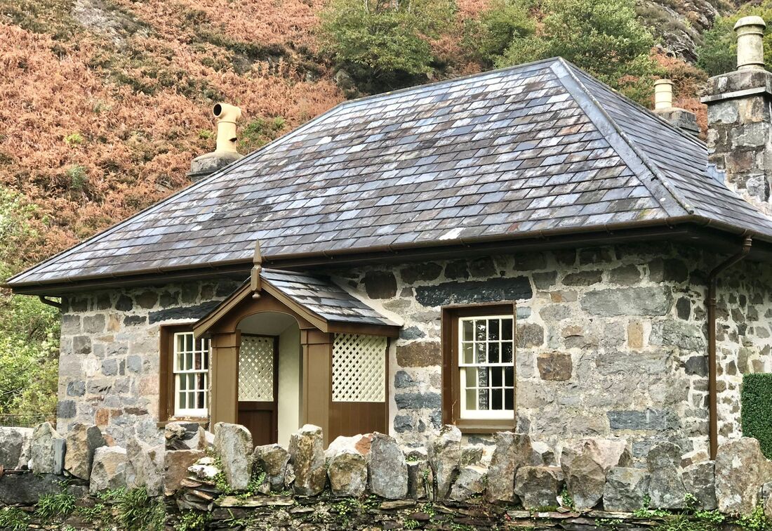
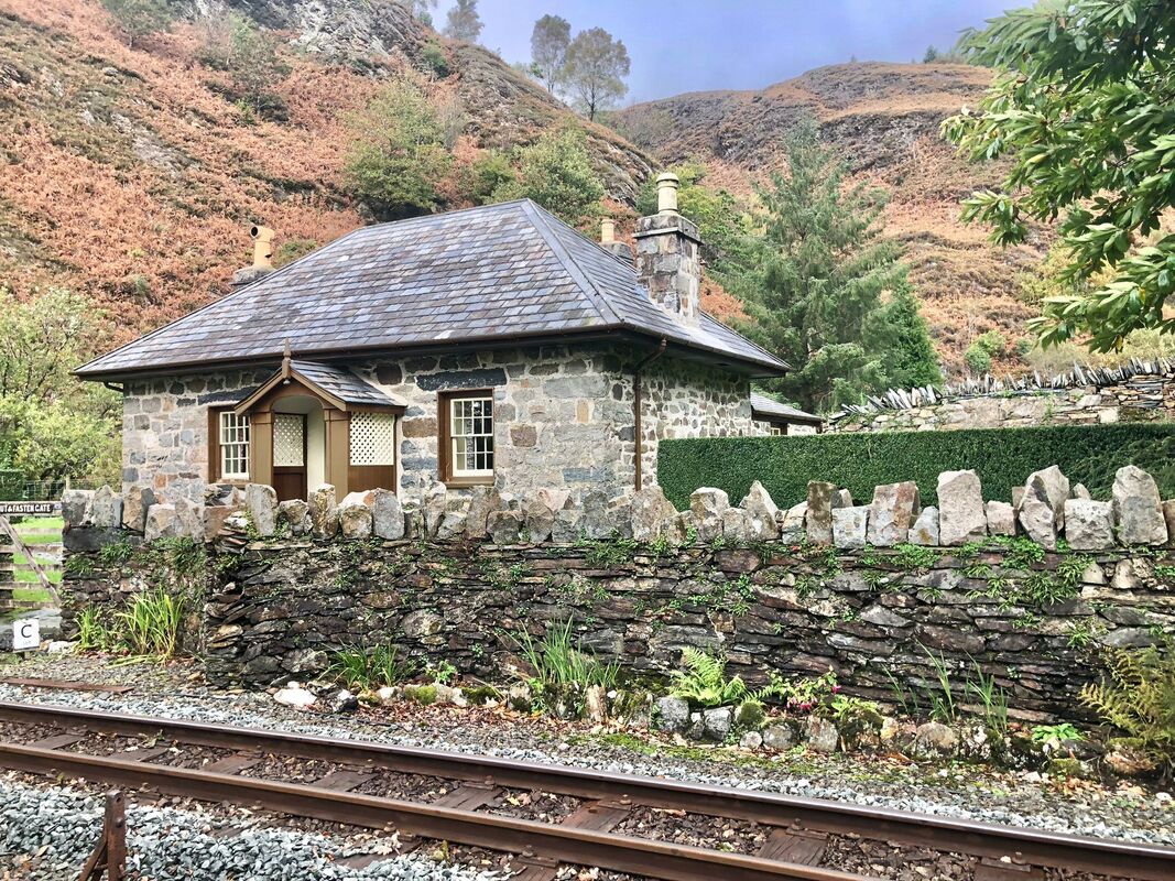
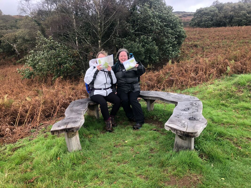
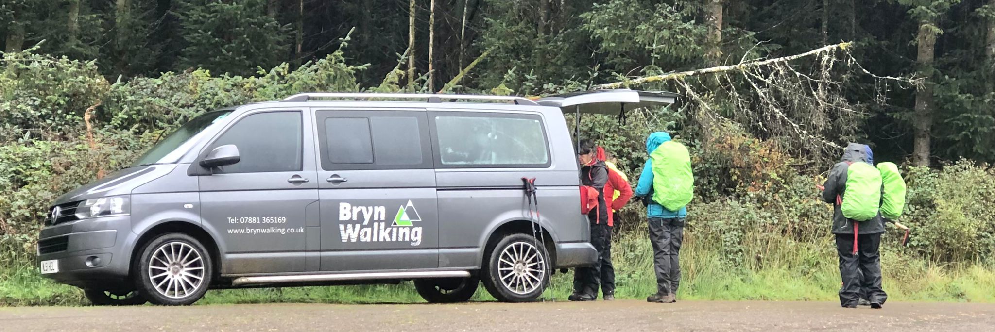
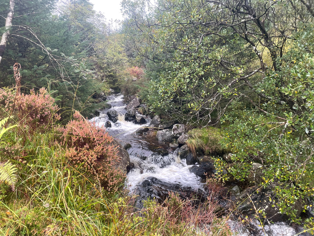
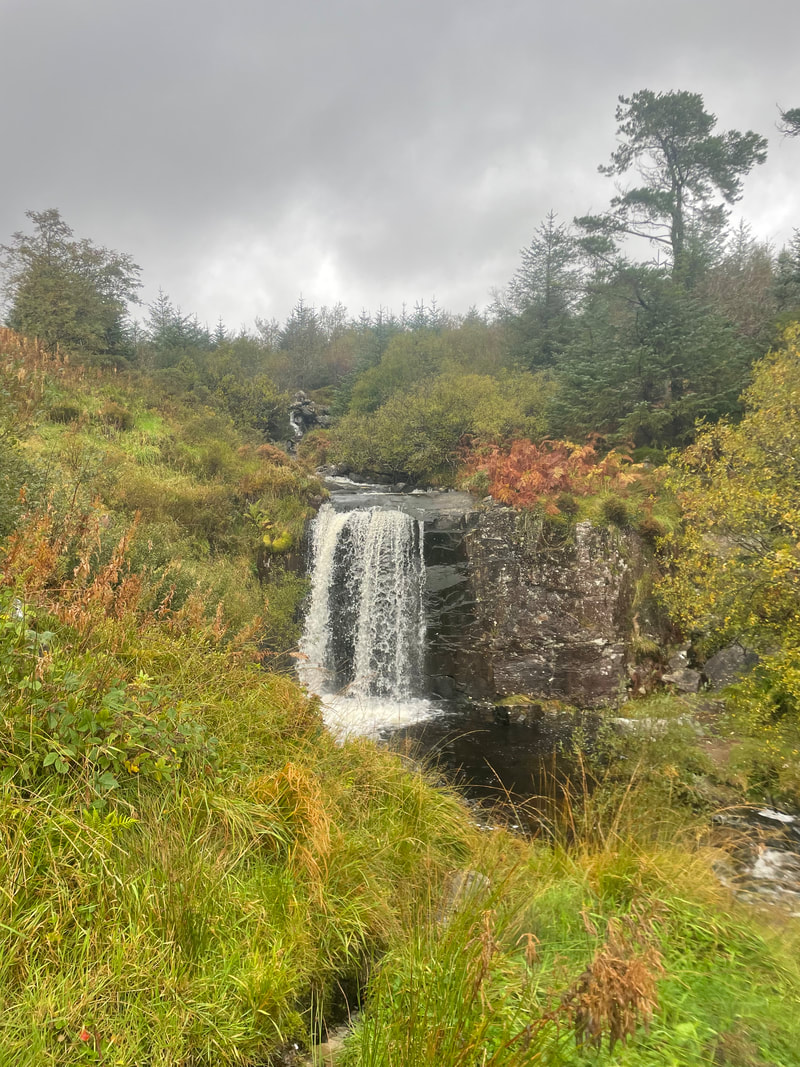
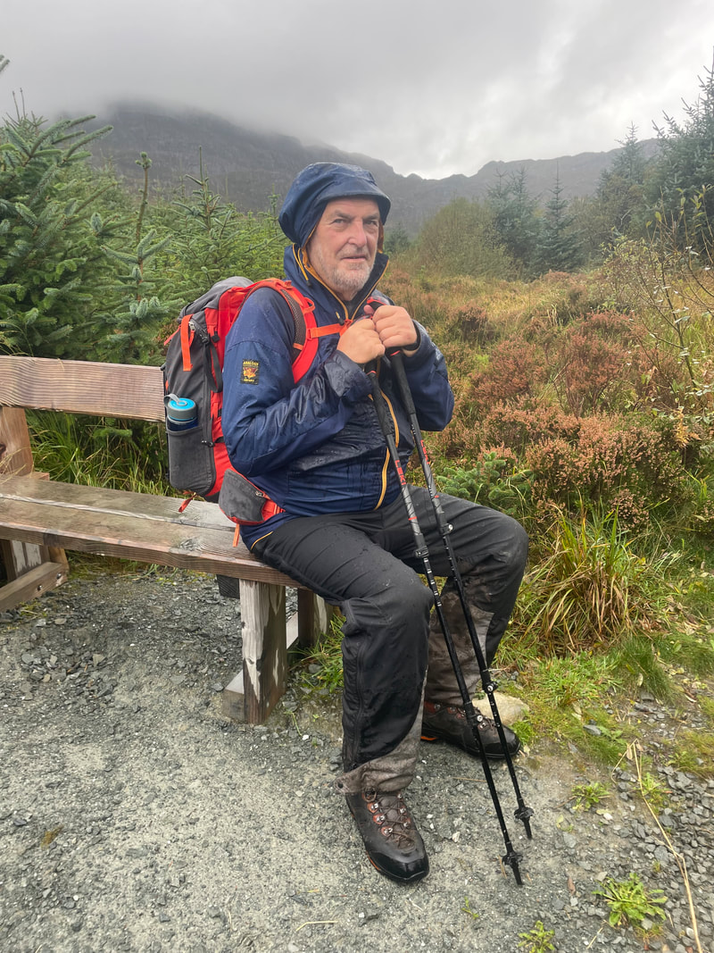
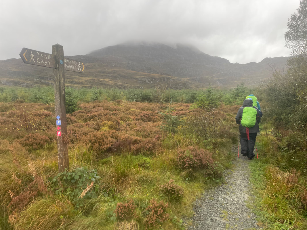
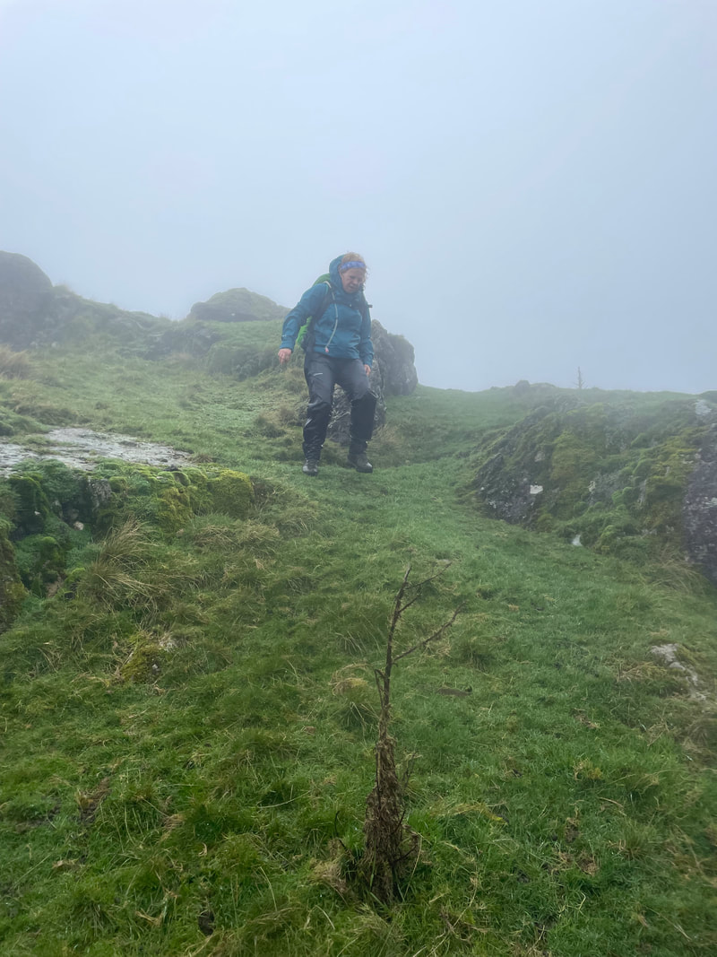
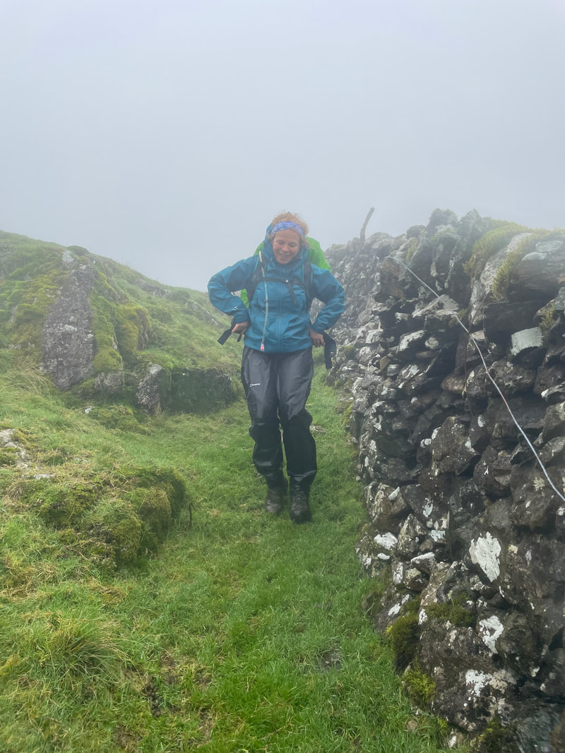
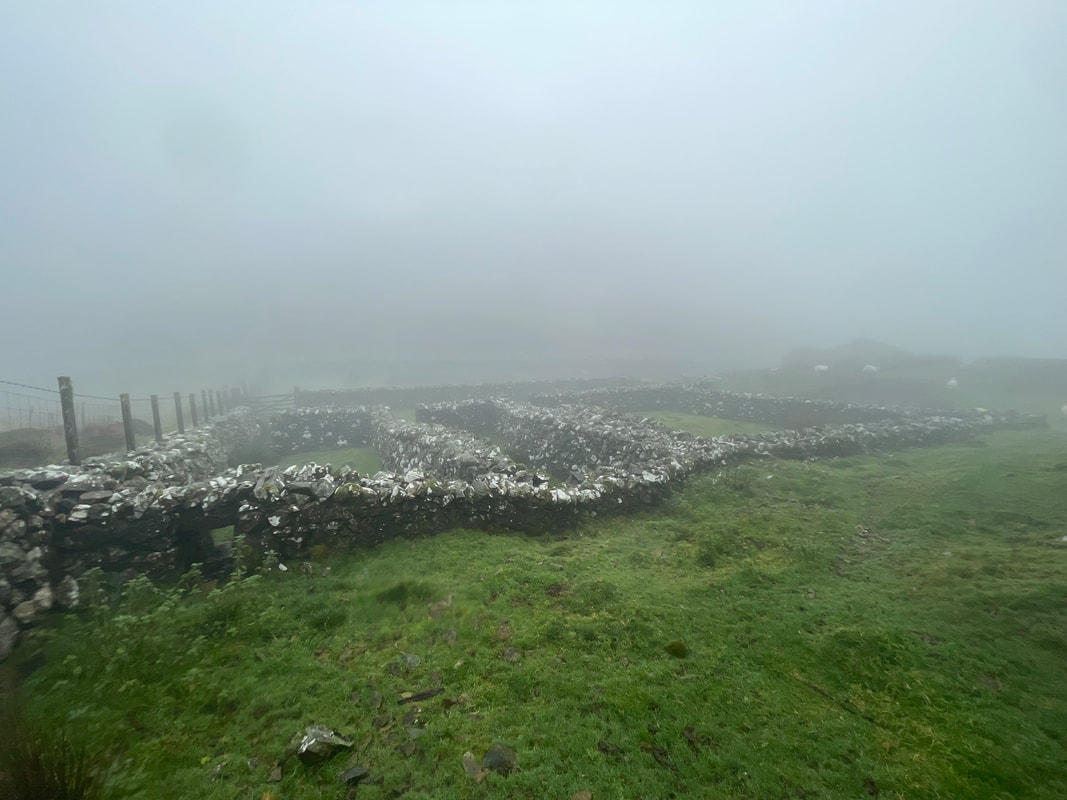
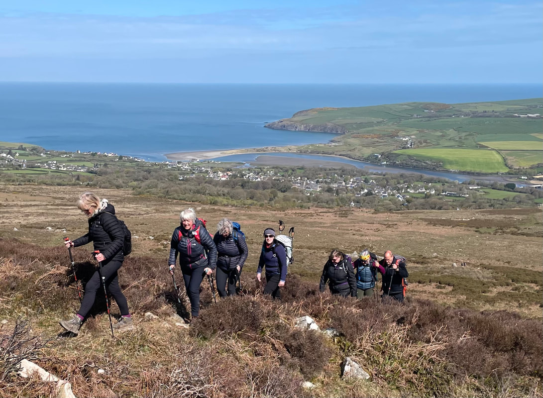
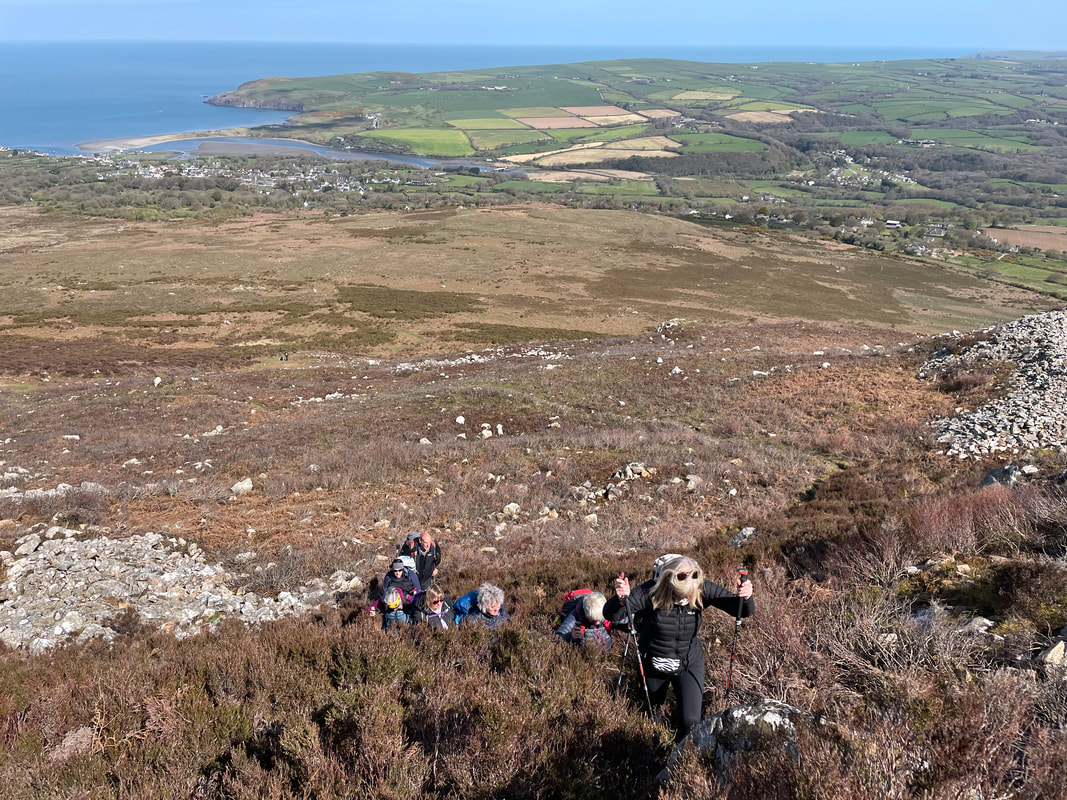
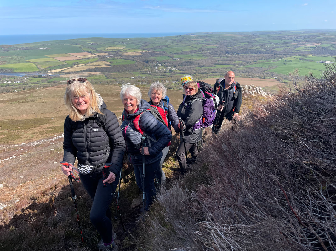
A very wet and windy week in Snowdonia, exploring some of the mining areas and 4 planned mountain walks. Some of us stayed at the Oakeley Arms and Oakeley Arms cottages and others stayed near by.

Monday
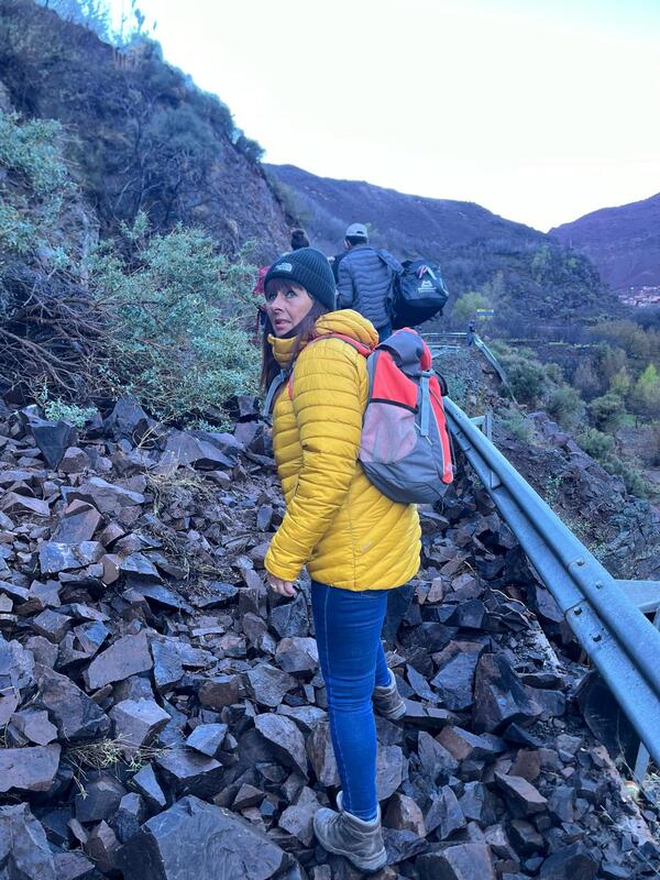
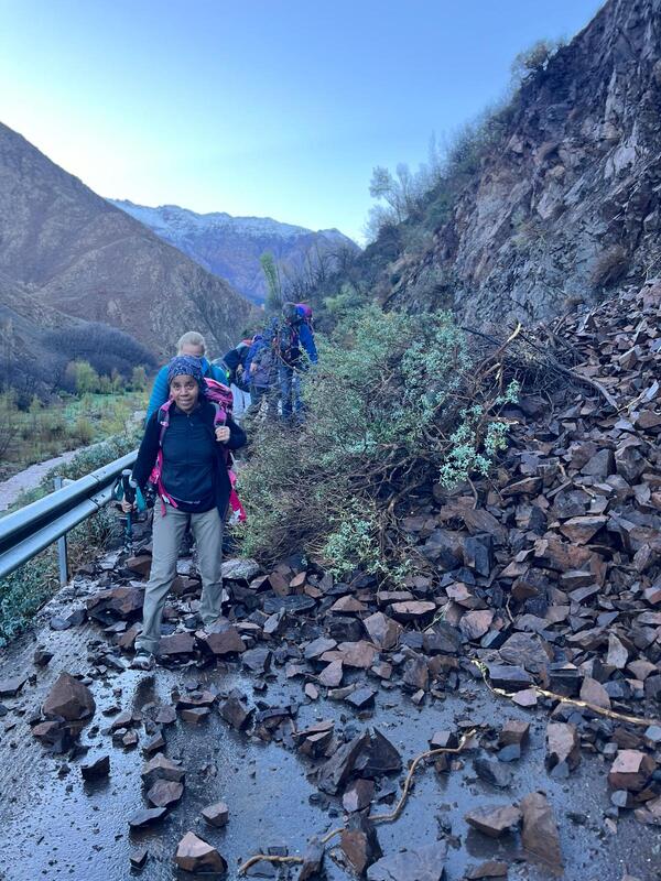
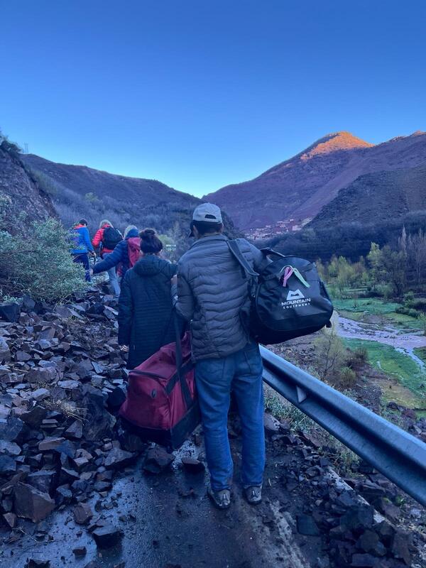
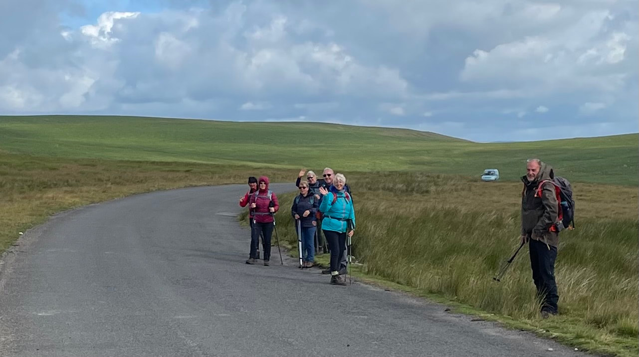
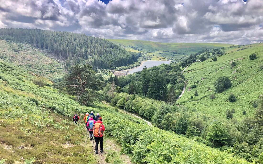
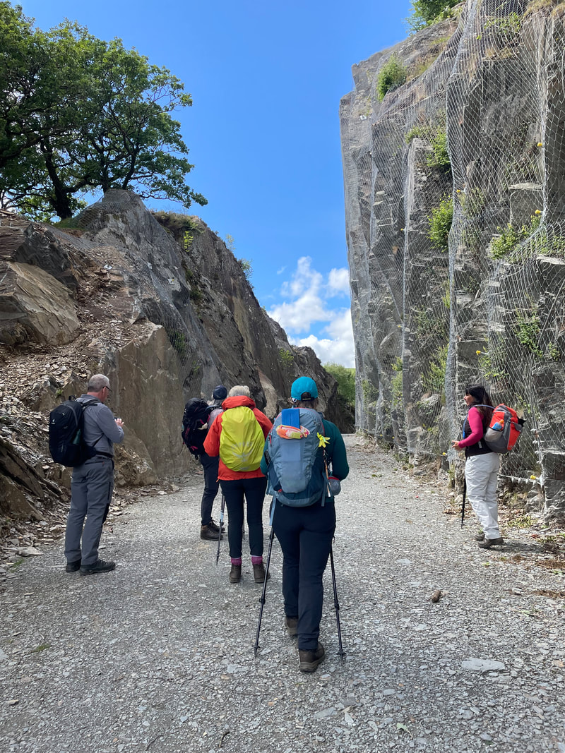
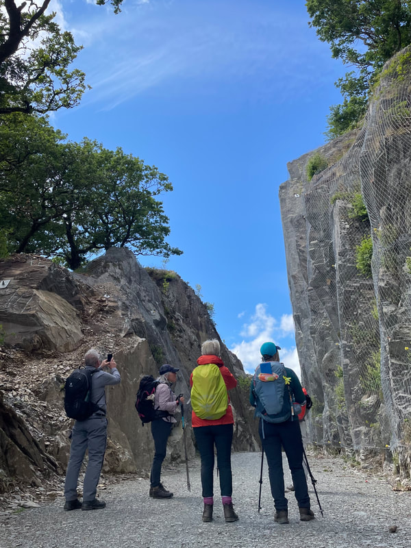
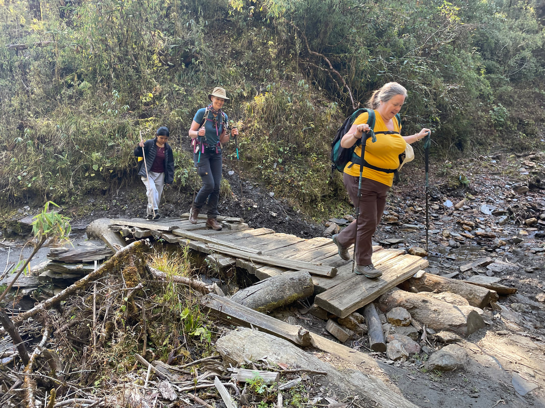
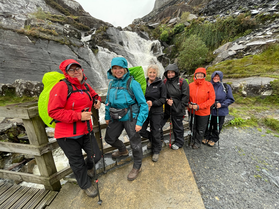
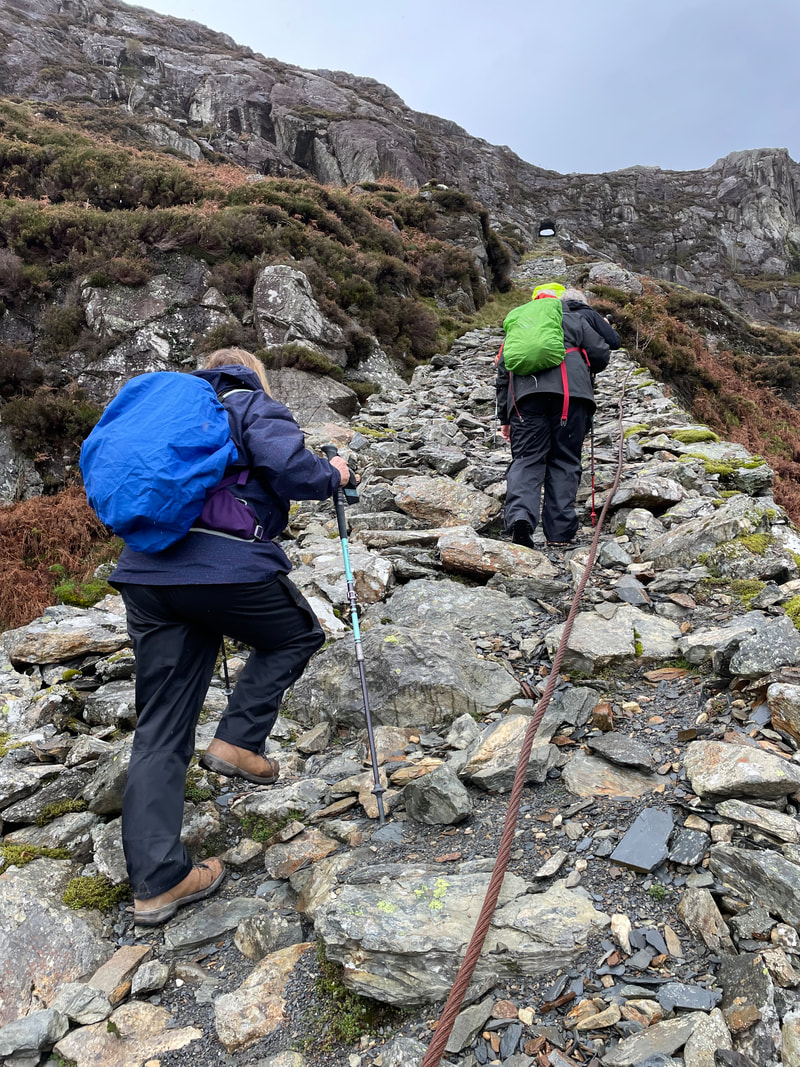
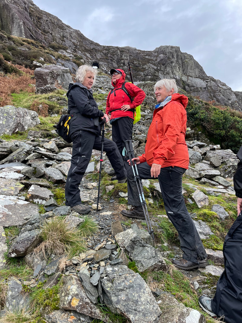
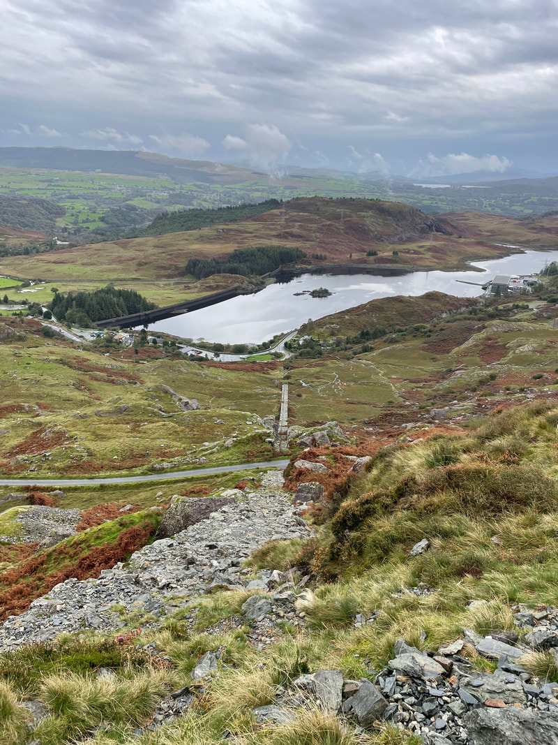
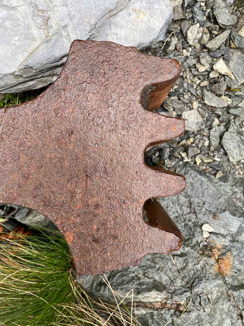
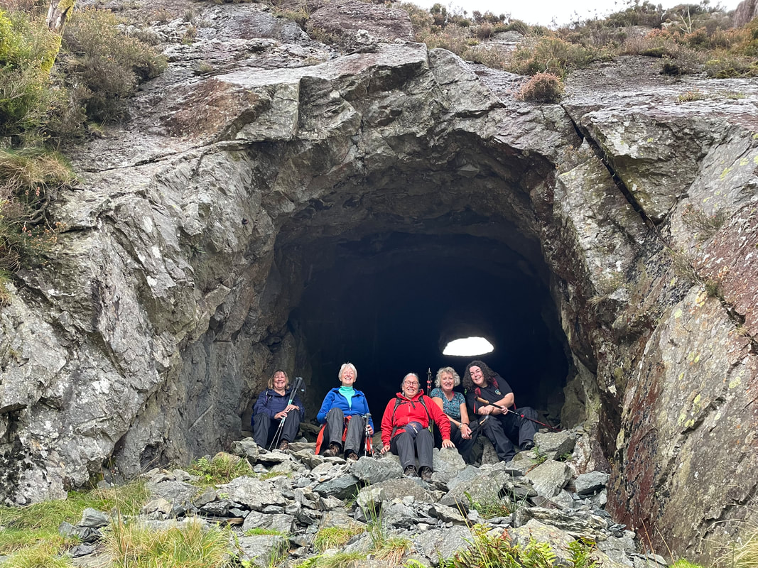
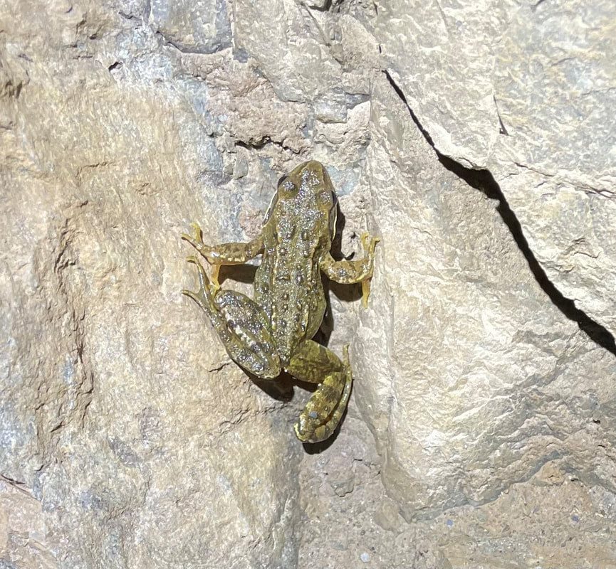
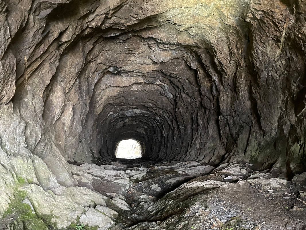
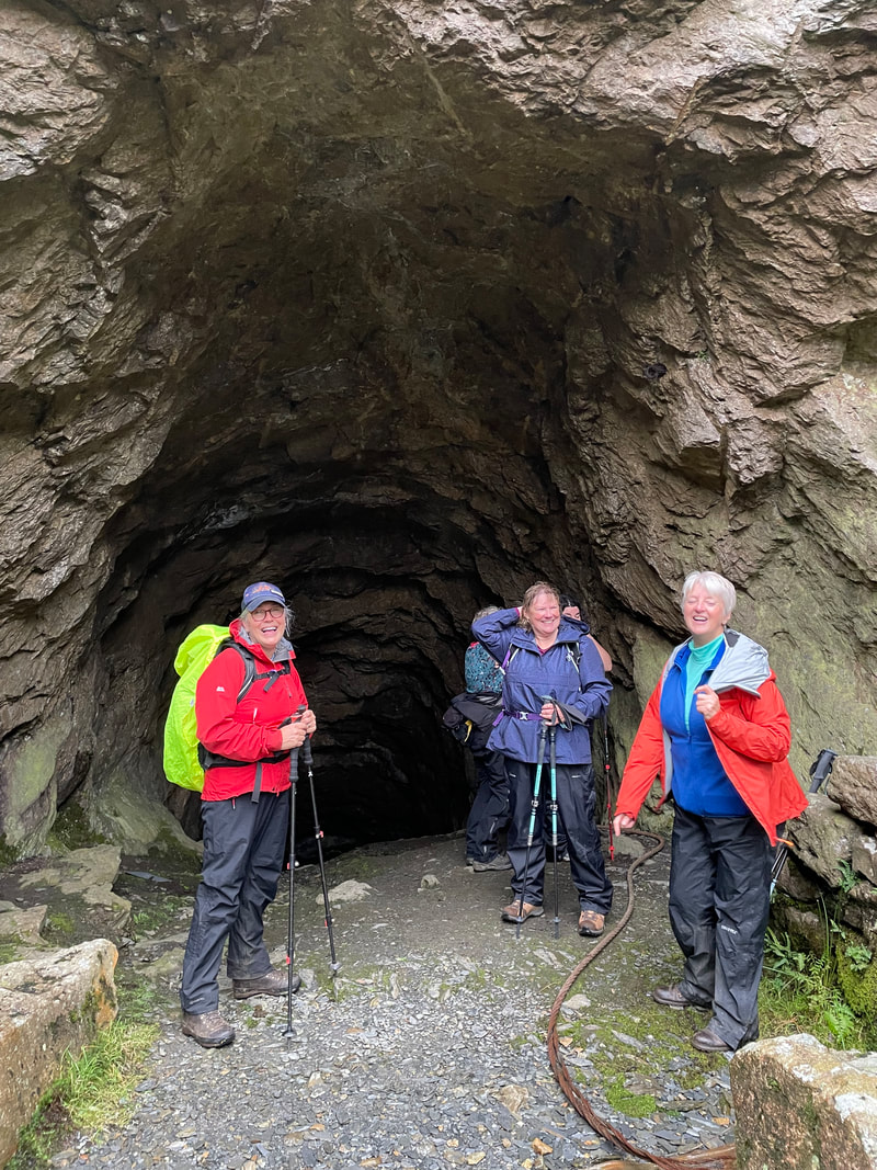
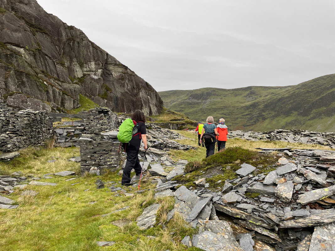
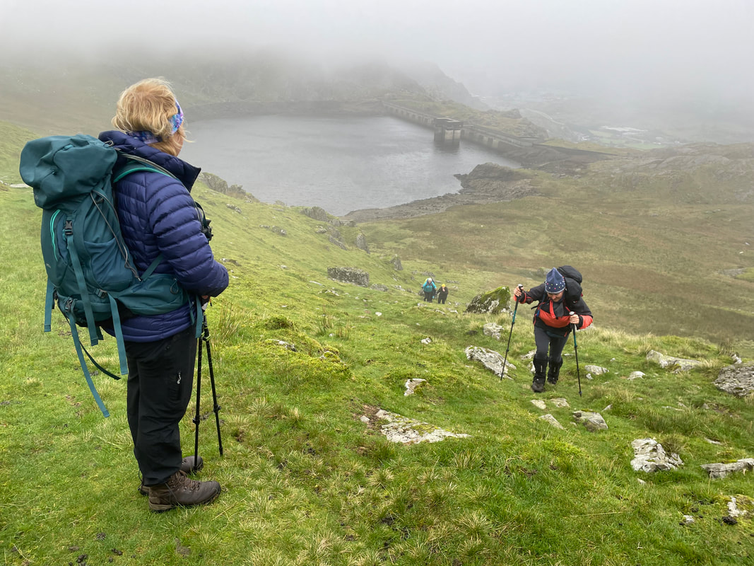
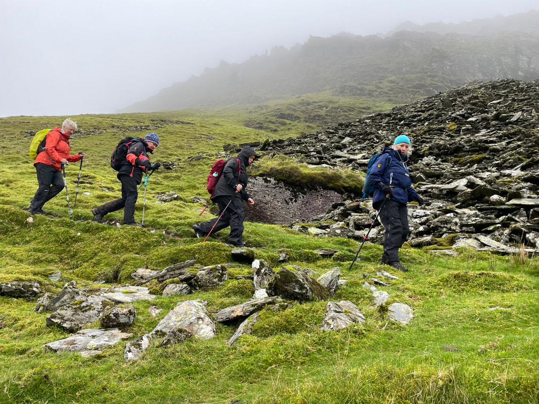
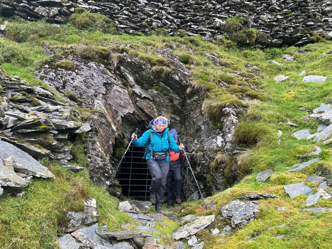
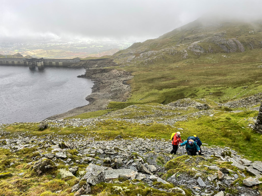
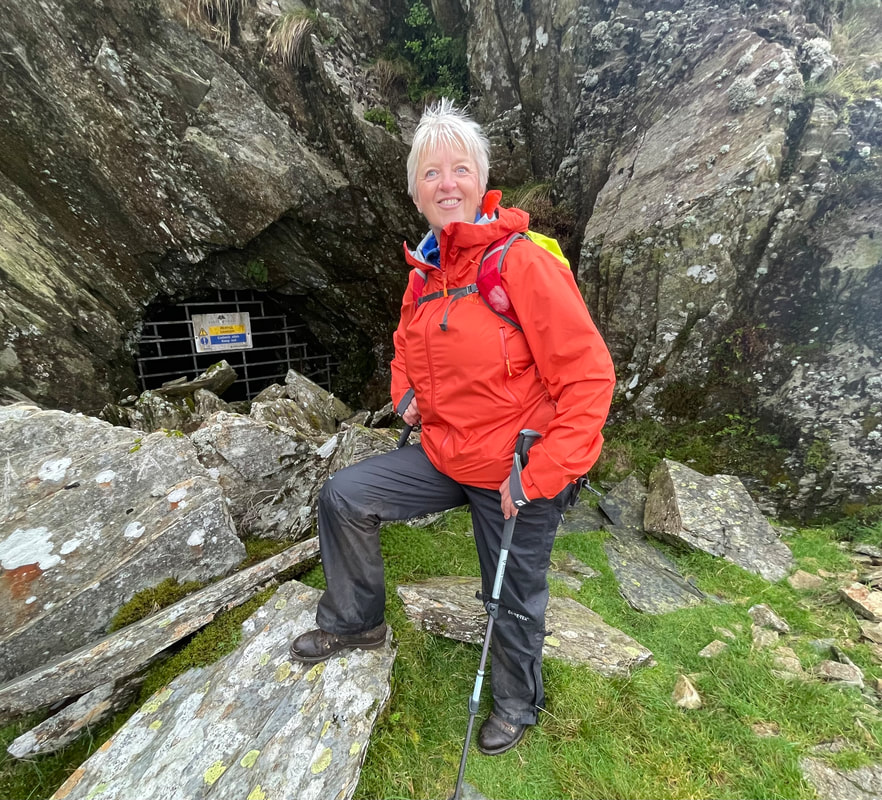
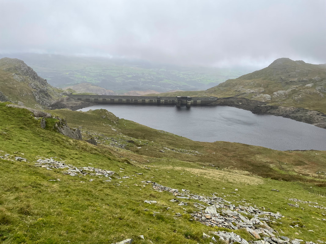
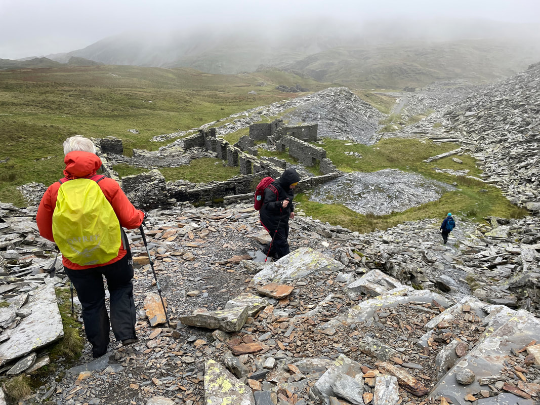
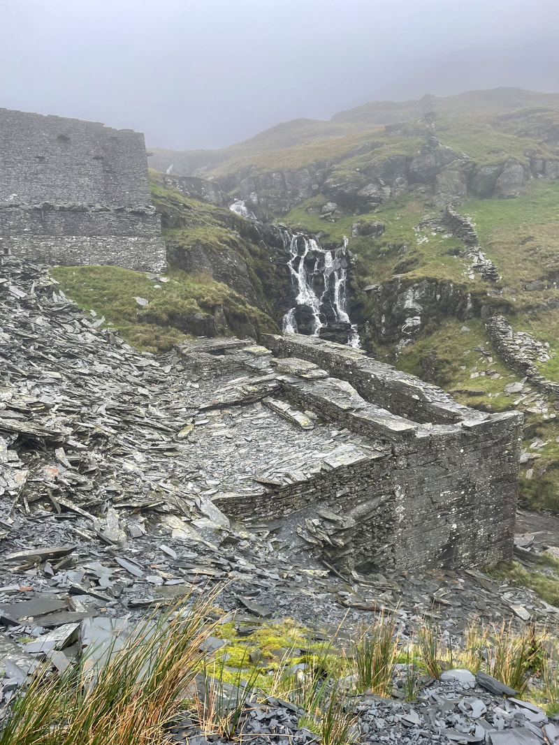
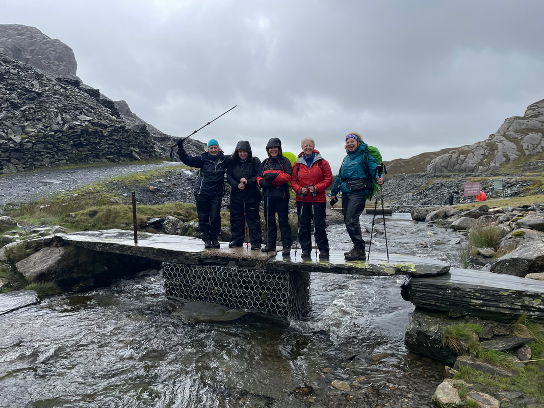
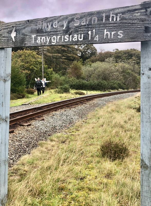
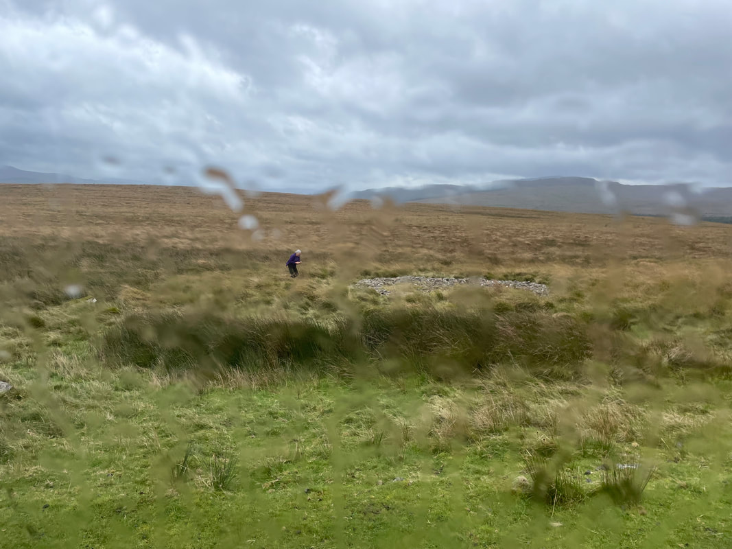
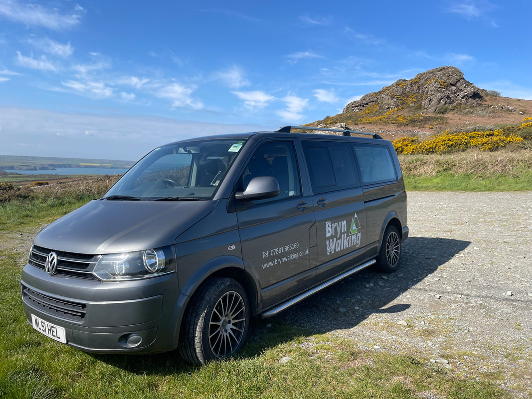
We all met in Betws-y-coed for a visit to the Rohan shop and other outdoor shops. Then met near Tanygrisiau to travel in the Bryn Walking minibus to the parking area to start the Incline Quarry Walk up to Llyn Cwmorthin. The incline is a stoney and steep ascent with a tunnel for the last bit of about 30 dark and slippery metres! We all had head torches and everybody achieved the tunnel without any problem - what an achievement, well done everyone. The way down to the Cwmorthin area was loose and care had to be taken. We then found that the footpath was closed that crossed the stream by the plantation so we crossed the stream safely to meet Alan and Andrea who were on the other side. An exciting afternoon to begin our week in snowdonia.
We all met in Betws-y-coed for a visit to the Rohan shop and other outdoor shops. Then met near Tanygrisiau to travel in the Bryn Walking minibus to the parking area to start the Incline Quarry Walk up to Llyn Cwmorthin. The incline is a stoney and steep ascent with a tunnel for the last bit of about 30 dark and slippery metres! We all had head torches and everybody achieved the tunnel without any problem - what an achievement, well done everyone. The way down to the Cwmorthin area was loose and care had to be taken. We then found that the footpath was closed that crossed the stream by the plantation so we crossed the stream safely to meet Alan and Andrea who were on the other side. An exciting afternoon to begin our week in snowdonia.


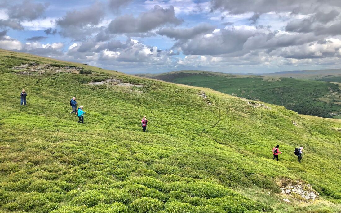
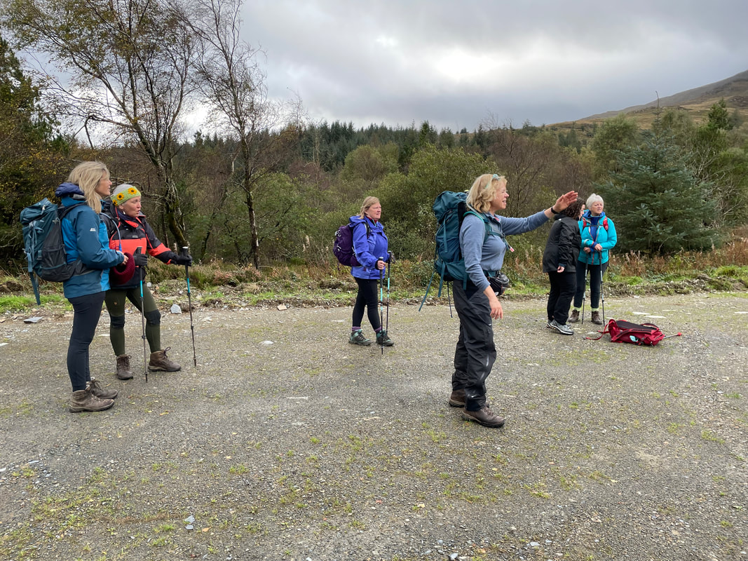
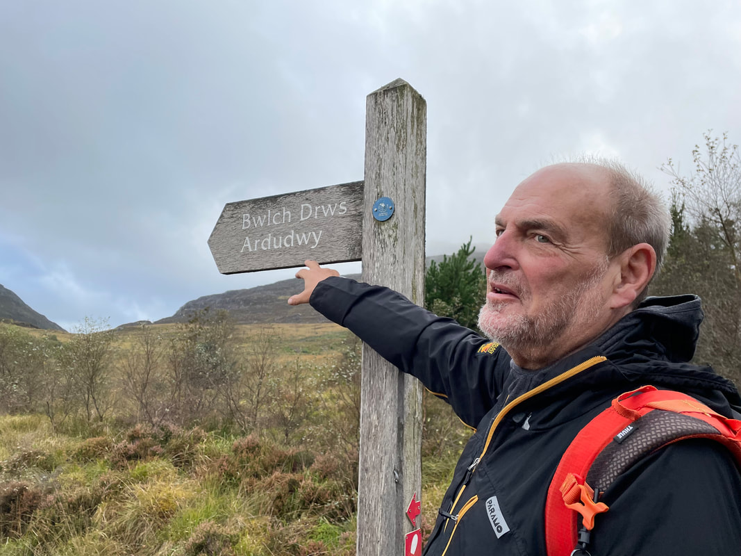
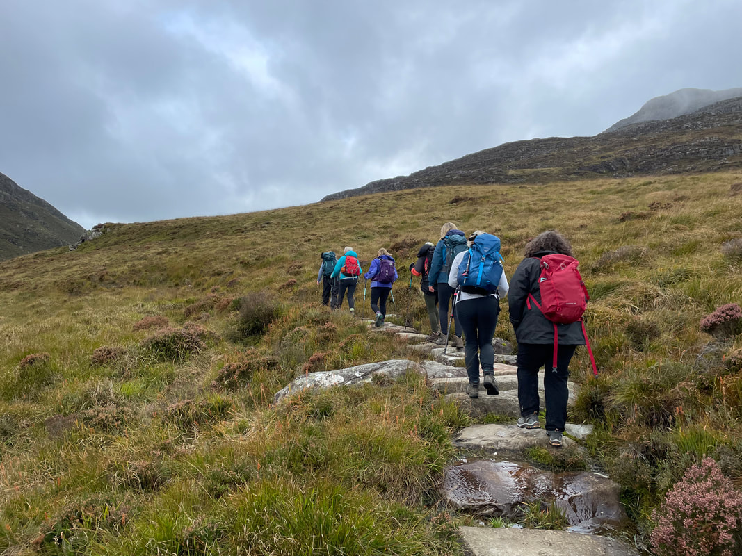
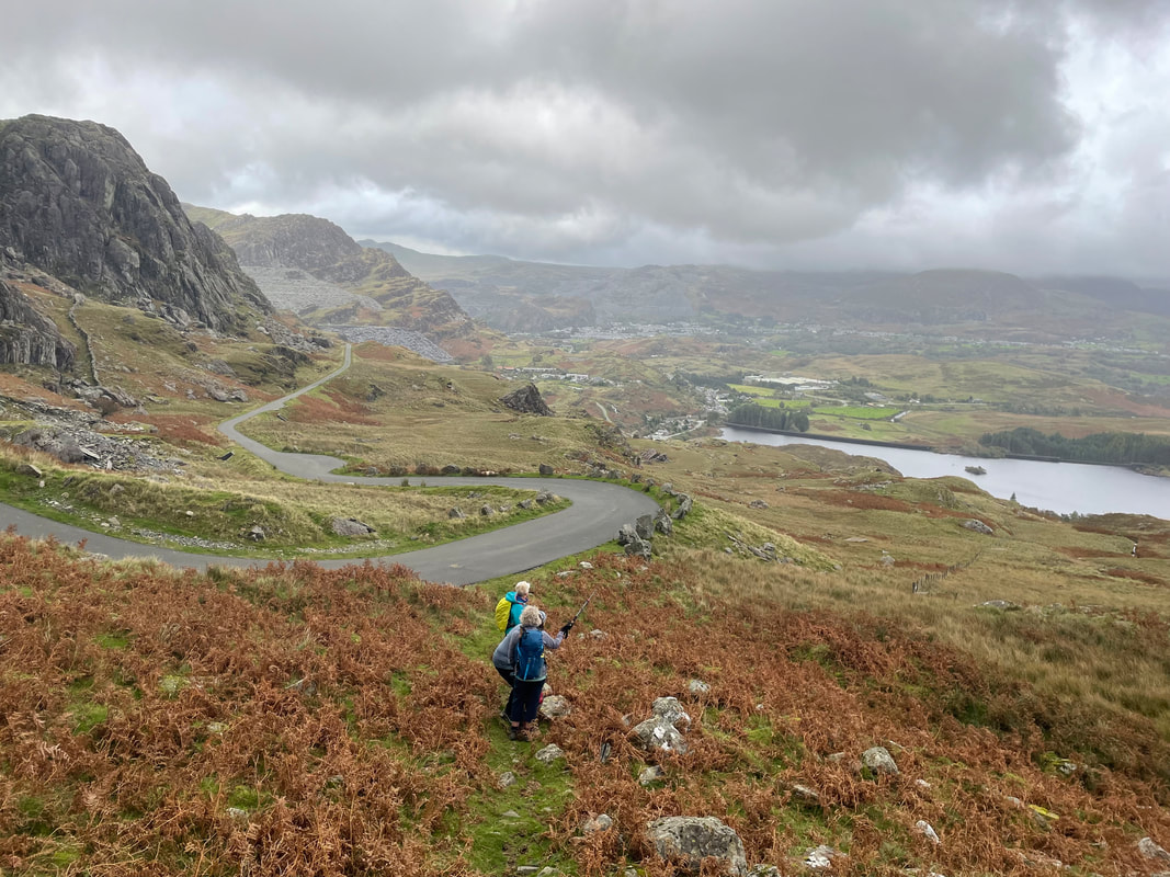
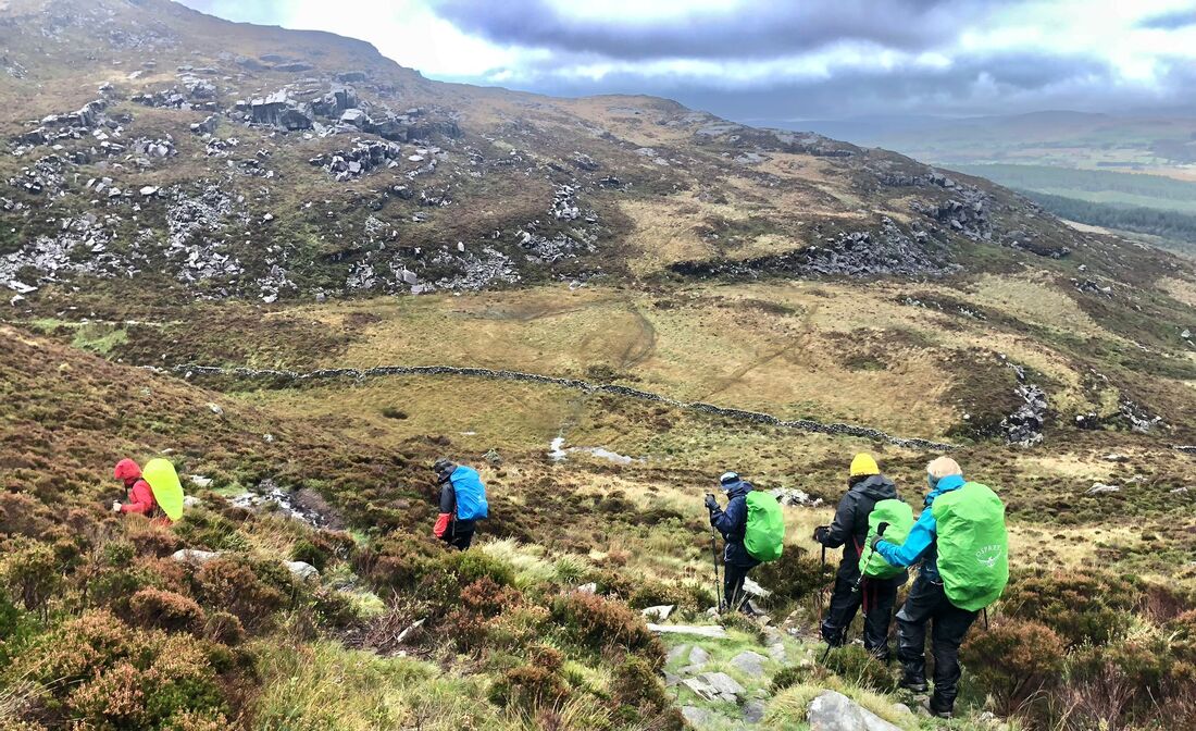
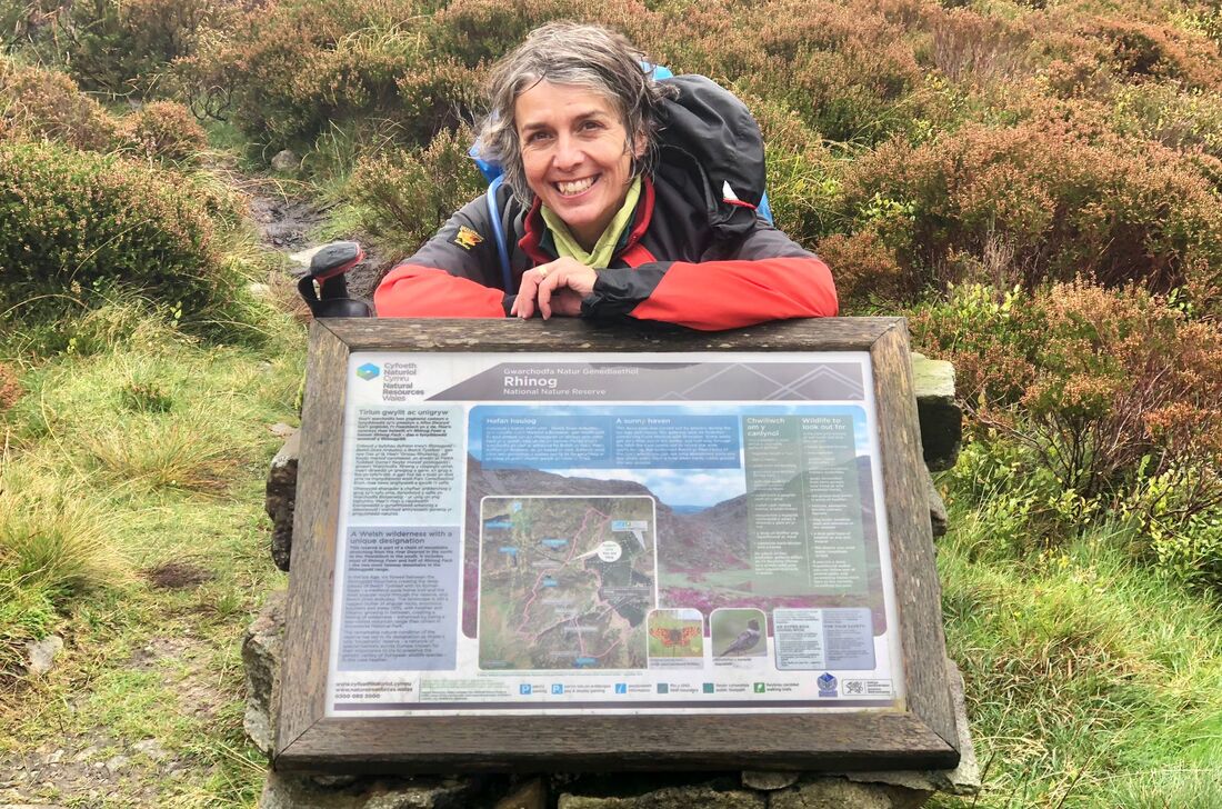
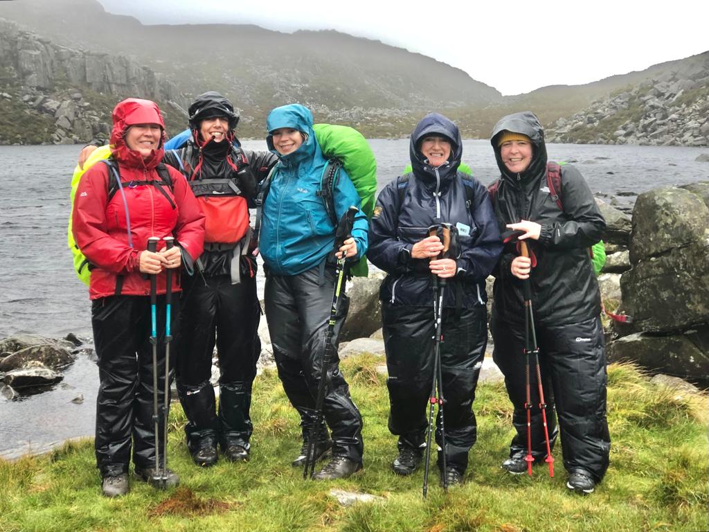
Tuesday
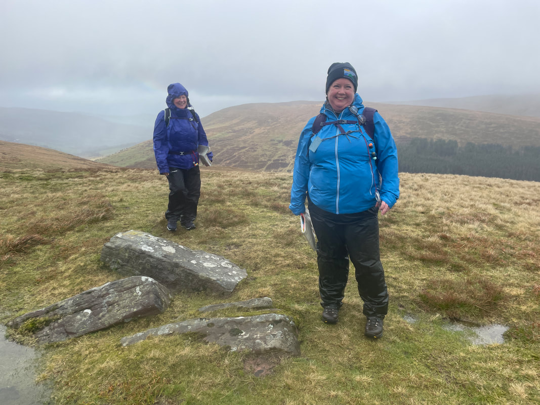
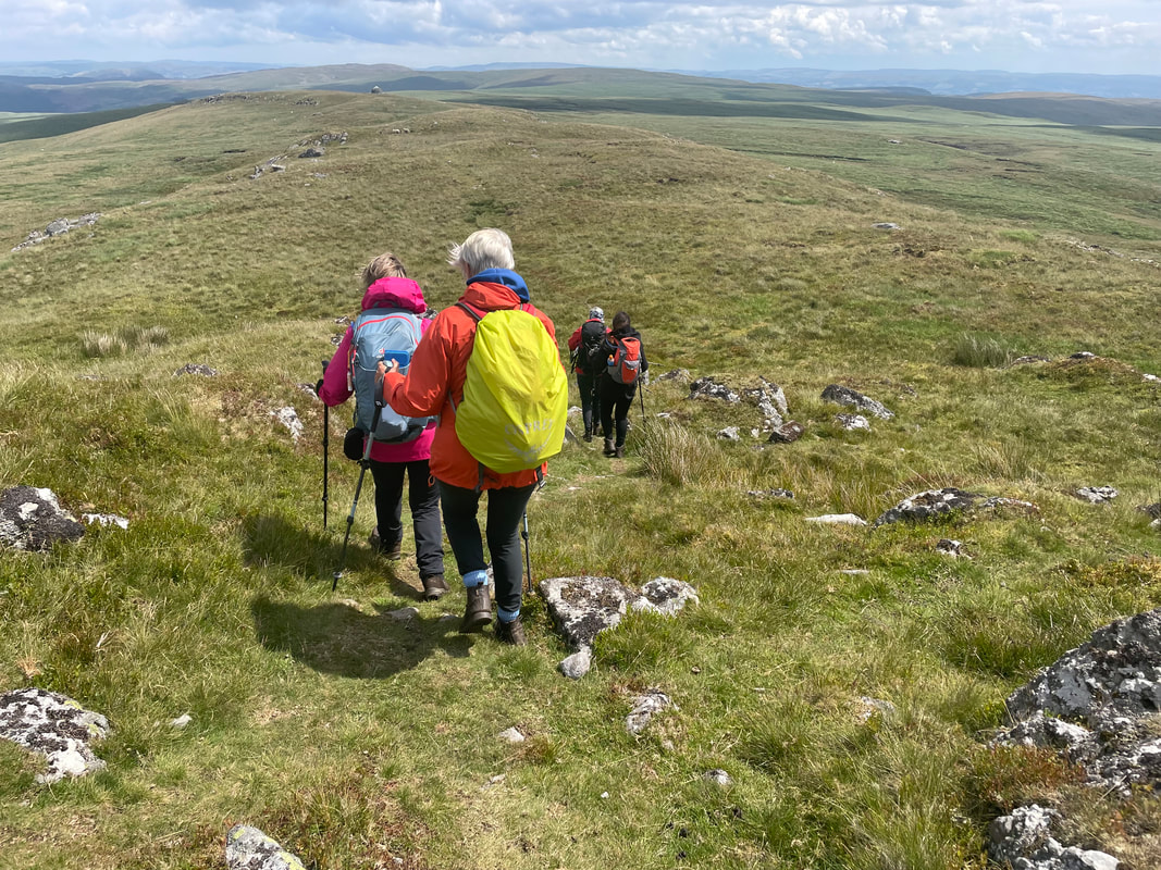
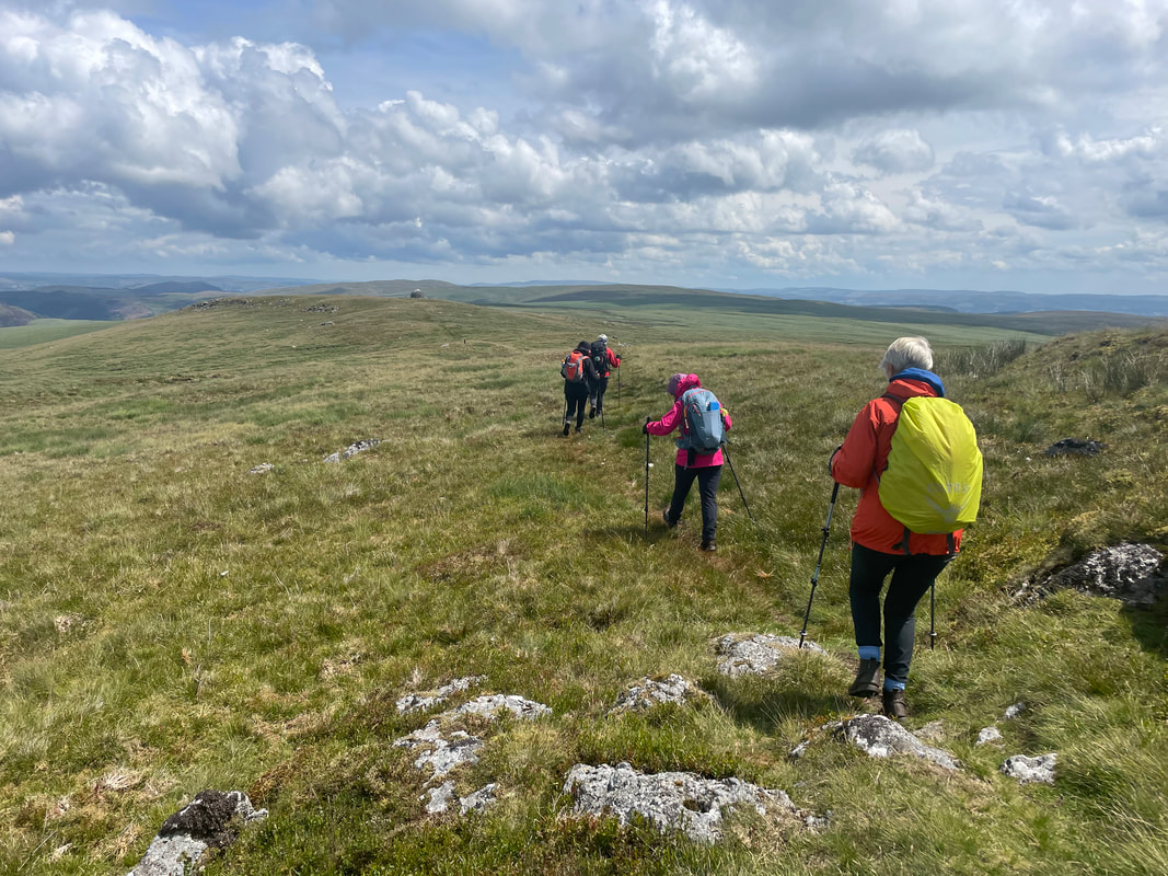
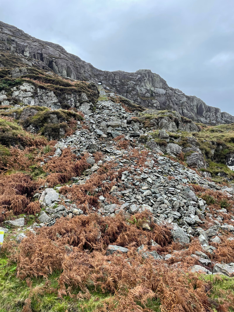
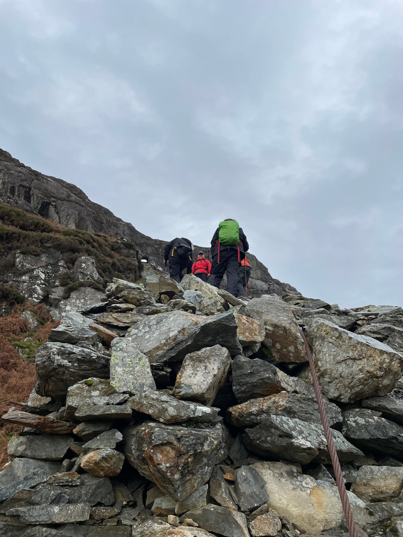
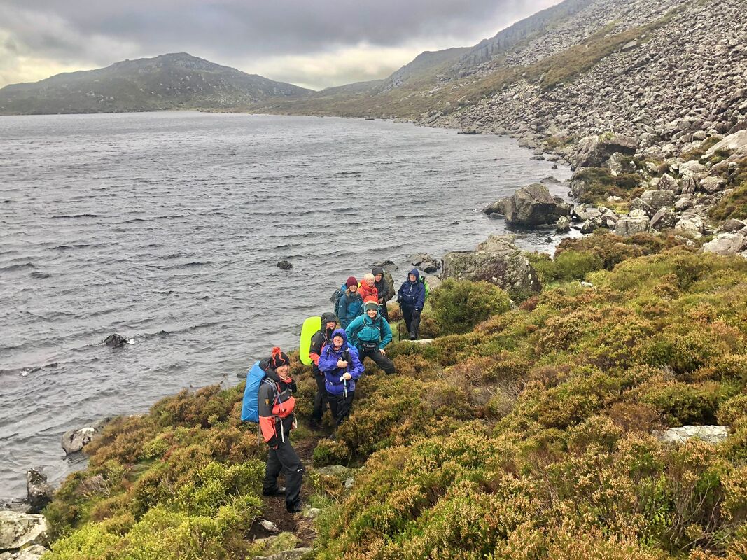
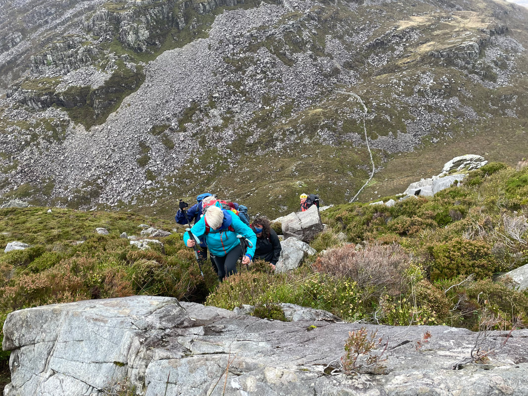
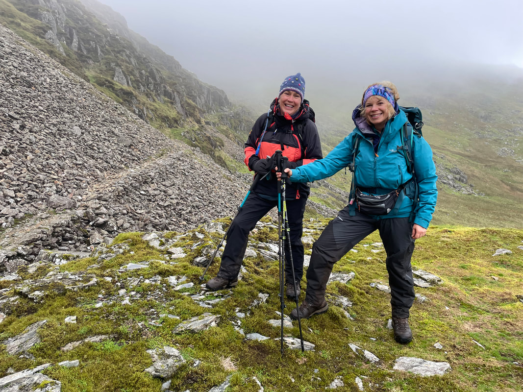
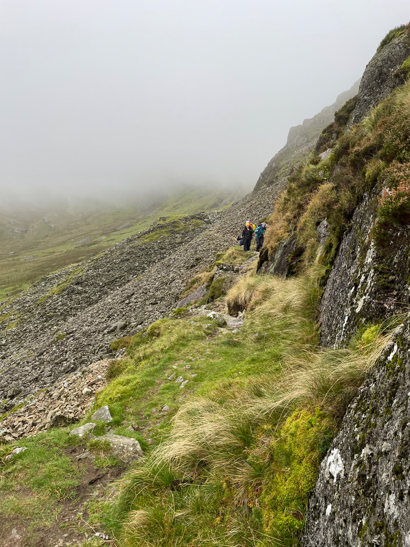
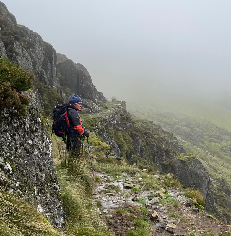
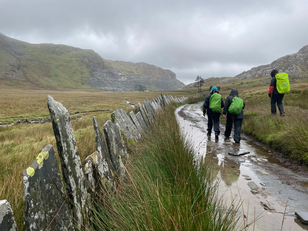
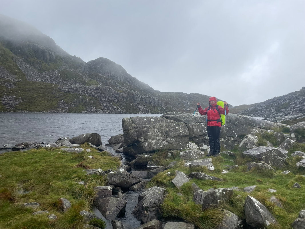
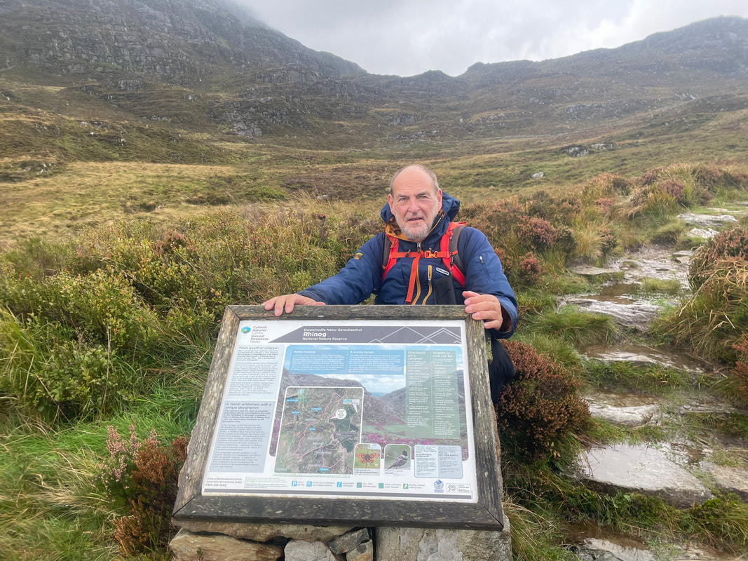
Rhinog - Fach approaching from the east. The weather forecast was against us so we didn't hold out much hope for reaching the top. A straight forward start from the forestry to the near the cairn where the Cambrian Way runs down into Bwlch Drws Ardudwy, the bwlch between Fach and Fawr. from here we took the Cambrian Way as we had done on a previous visit. It is steep, rocky and thick heather lines the edges of the narrow path, but it is fairly easy and exciting. The forecast was worsening so we had already decided that it wouldn't be a summit day but to keep going to the plateau and then find a path that would contour round to the access above the lake, Llyn Hywel. It's quite bouldery around the lake to get to the top of the path that would take use back down into Bwlch Drws Ardudwy.
A great mountain day, experiencing some challenging elements.

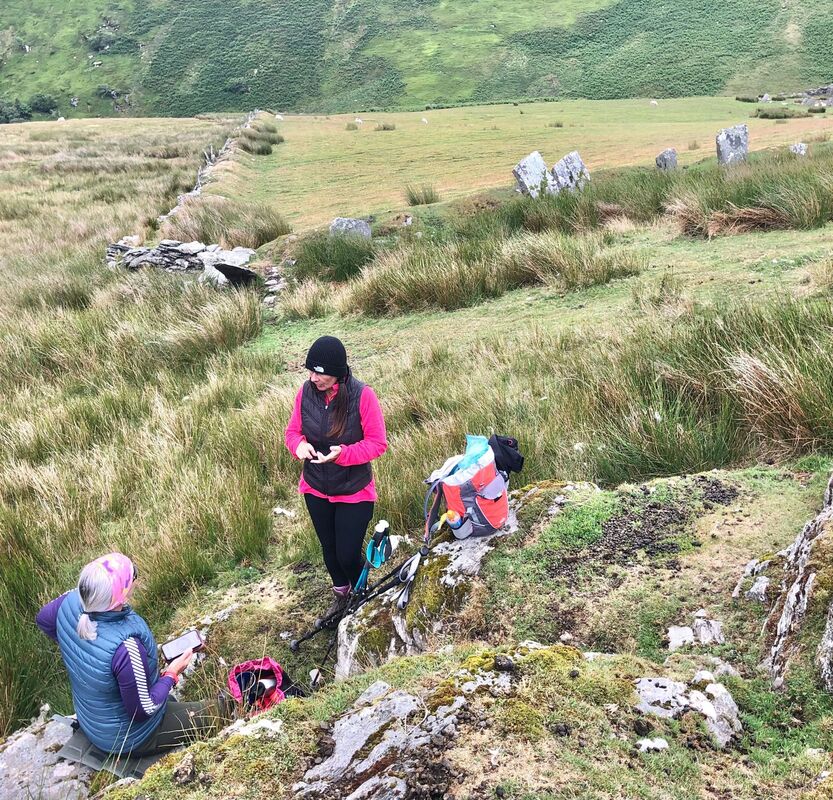
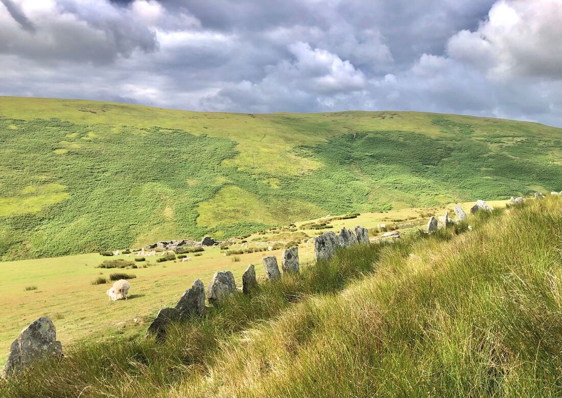
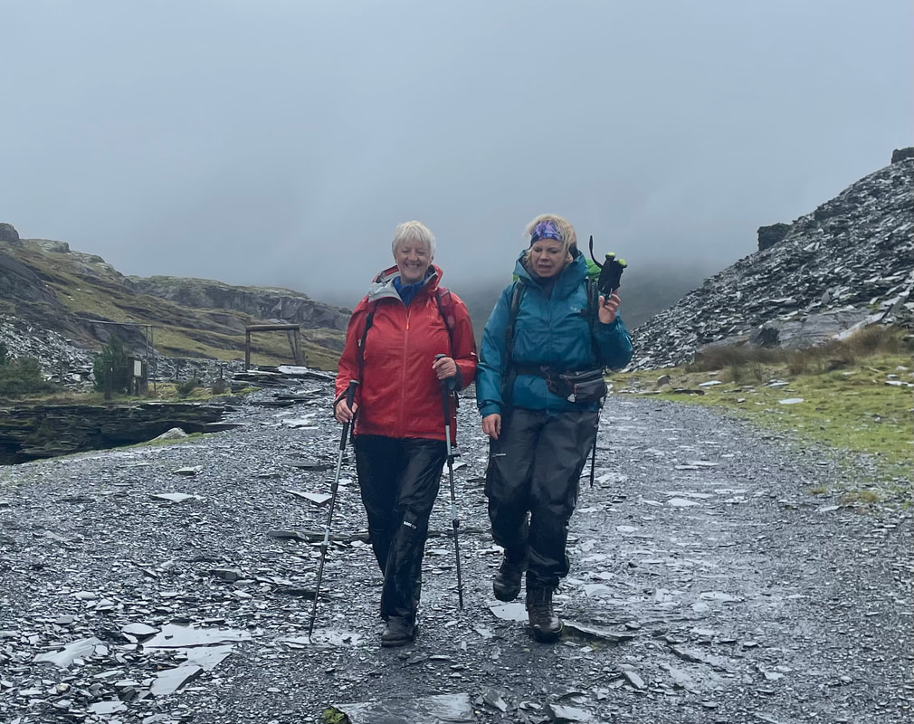
Wednesday
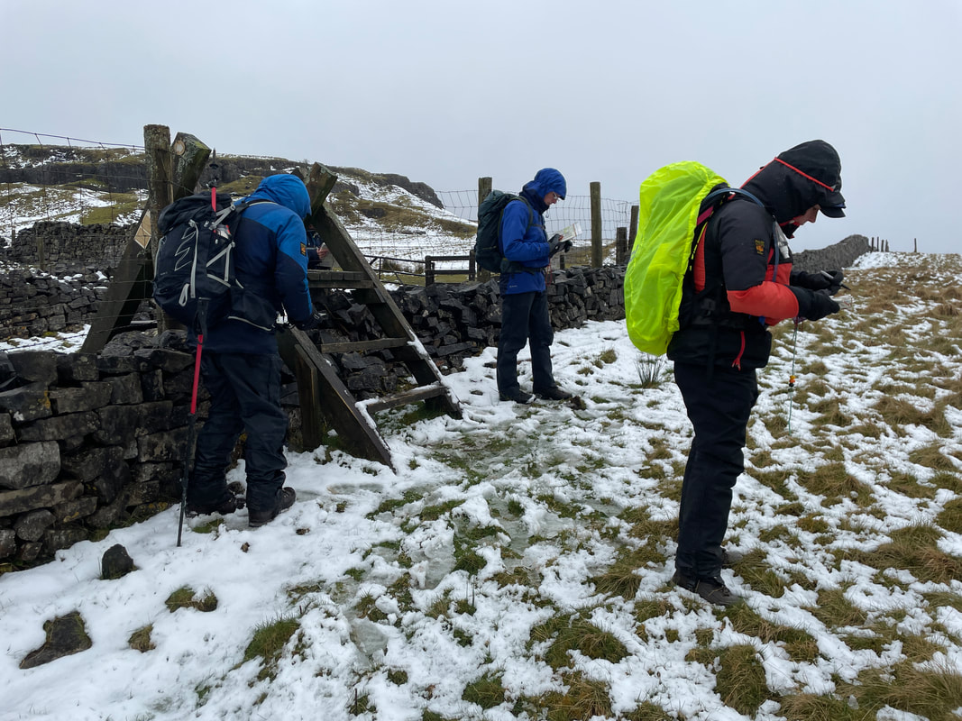
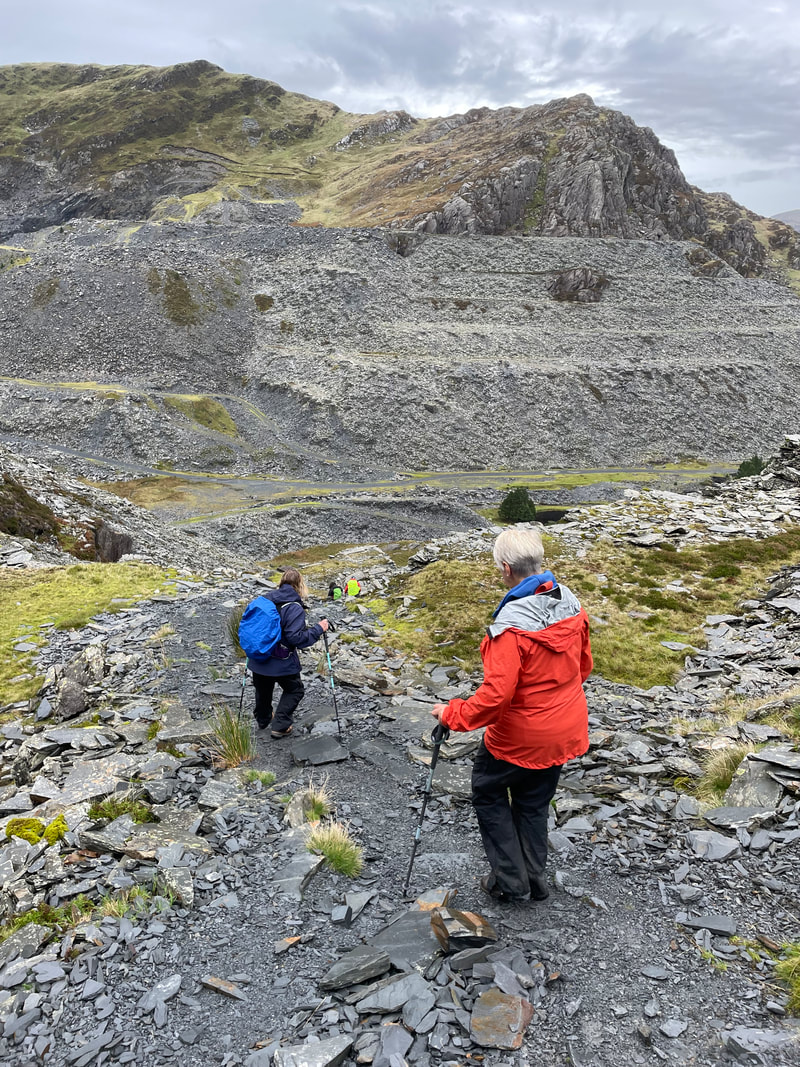
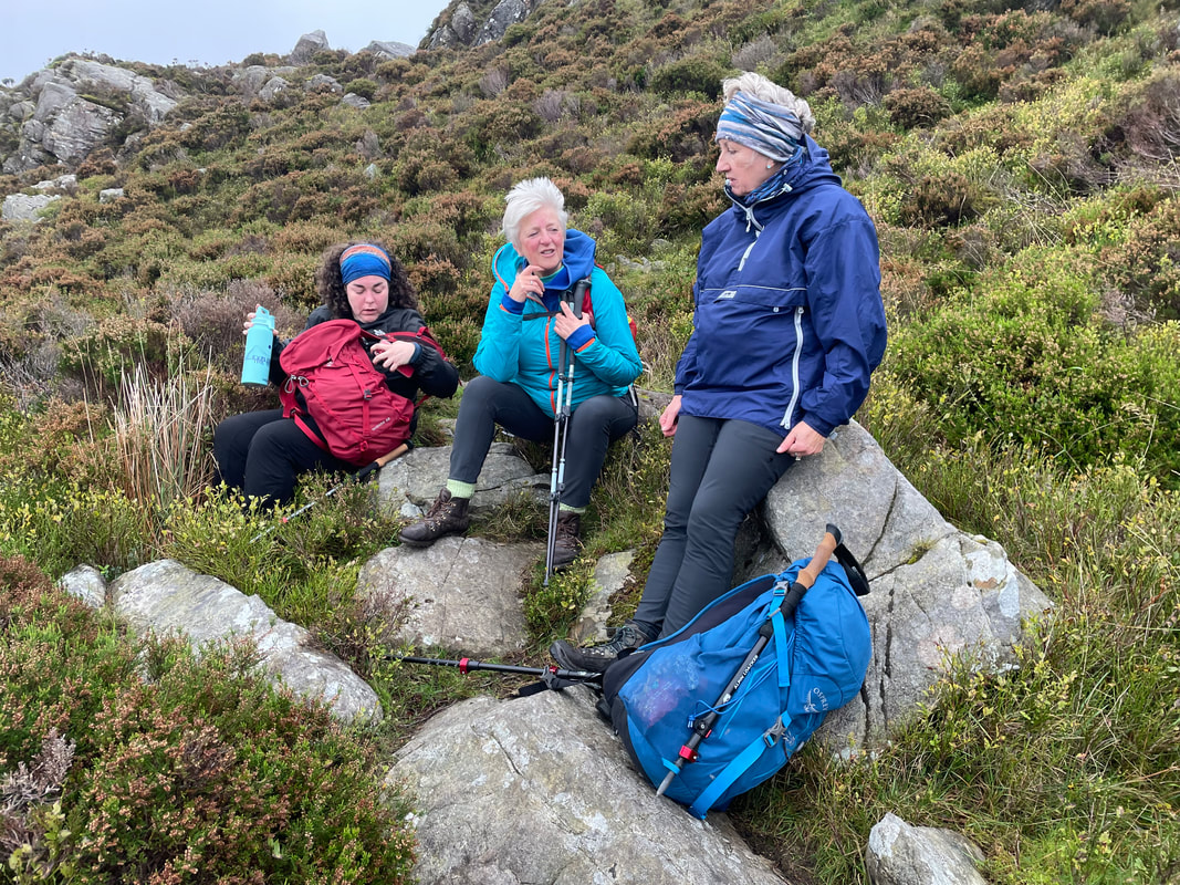
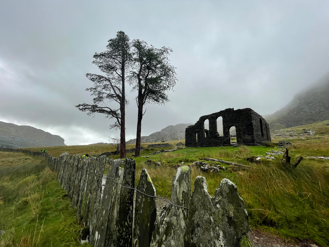
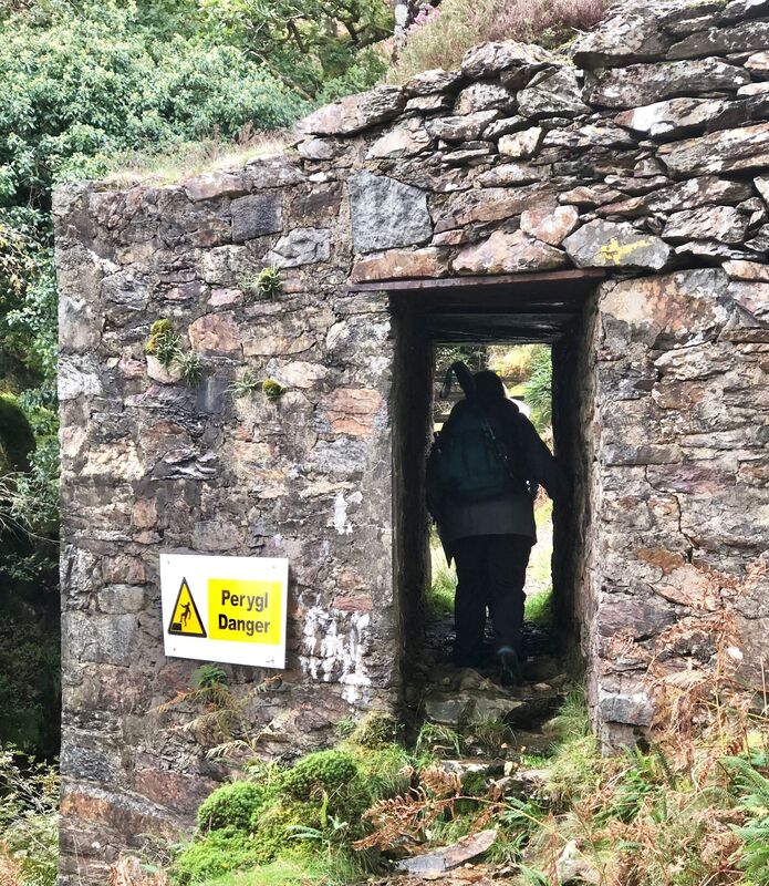
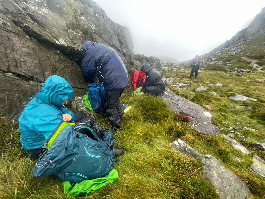
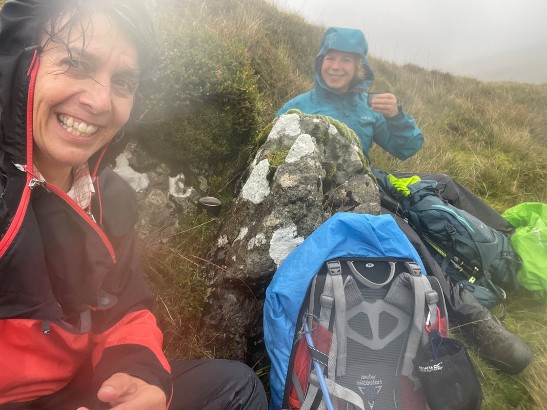
Alan and I both led a walk to give the participants a choice so that they could have an easier day. I planned to do Molwyn Mawr, Alan was catching the train from Tan y Bwlch to Tanygrisiau and walking back to the Oakeley Arms. Again the weather wasn't favourable so I took the decision on reaching Bwlch Stwlan that it wouldn't be the summit this time and we took the old track, in the lee of the strong winds, to the 566m spot height in-between Moelwyn Mawr and Moel-yr-hydd. On reaching the spot height we were then suddenly exposed to the wind and we all nearly got blown over (on safe ground!). We made our way down to Cwmorthin mining village where we had lunch out of the wind. We had just finished when it started to chuck it down. The foot path that I chose petered out so we decided to take the main track, that Louise was familiar with, down to Llyn Cwmorthin.
Another very interesting day hampered by the weather.

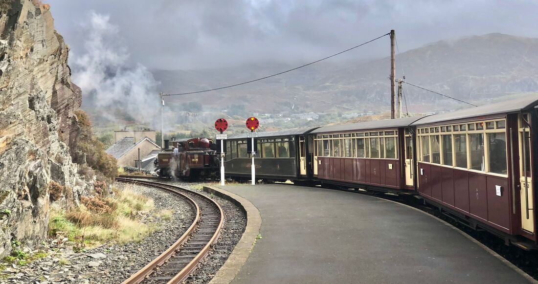
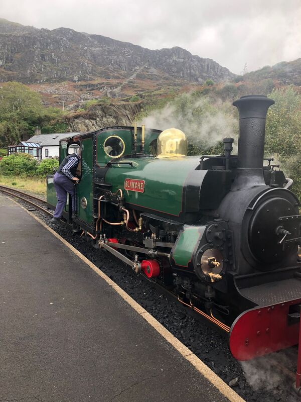
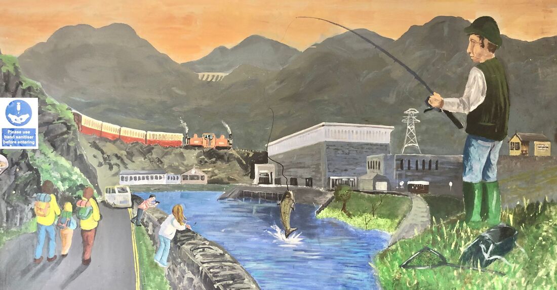
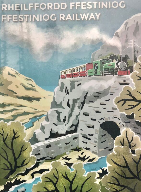
Alan's walk
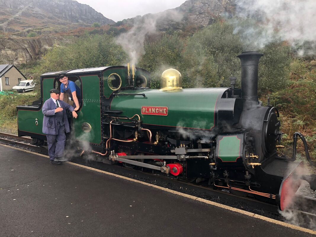
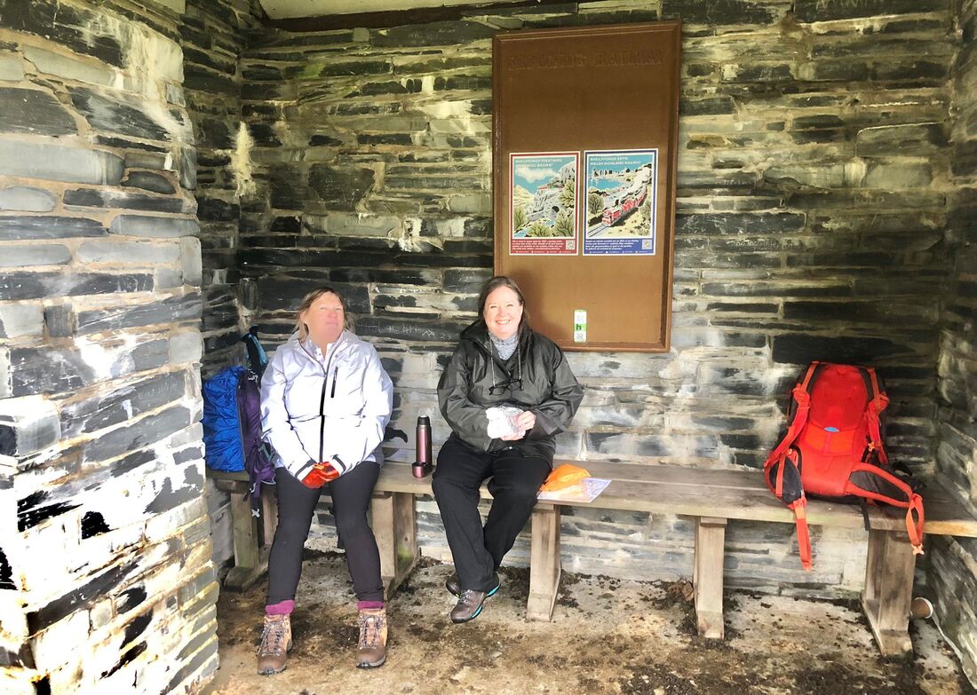
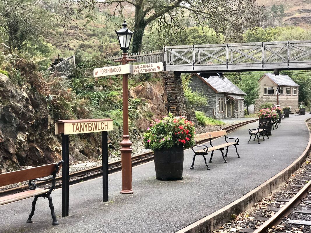
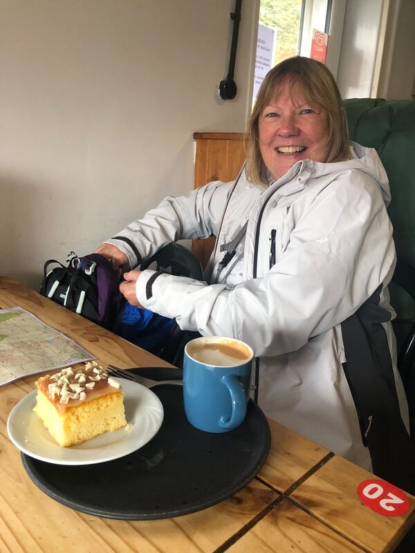
Helen had suggested that I led a lower level walk on the Wednesday so, with Lou and Eileen, we boarded the 1120 Ffestiniog narrow gauge train at Tan-y-Bwlch and alighted at Tanygrisiau.
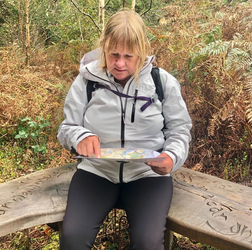
After a short spell in the cafe the three of us set off for the Oakley Arms. As Lou and Eileen are booked on Hill Skills with Helen I gave them the opportunity to navigate us back to the Oakley Arms which they did to a high standard.
Our route roughly followed the railway line but accurate navigation was required once we left the railway for the descent to the Oakley Arms.
Helen had suggested that I led a lower level walk on the Wednesday so, with Lou and Eileen, we boarded the 1120 Ffestiniog narrow gauge train at Tan-y-Bwlch and alighted at Tanygrisiau.
After a short spell in the cafe the three of us set off for the Oakley Arms. As Lou and Eileen are booked on Hill Skills with Helen I gave them the opportunity to navigate us back to the Oakley Arms which they did to a high standard.
Our route roughly followed the railway line but accurate navigation was required once we left the railway for the descent to the Oakley Arms.

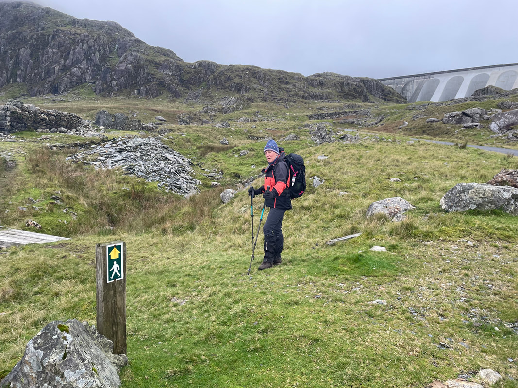
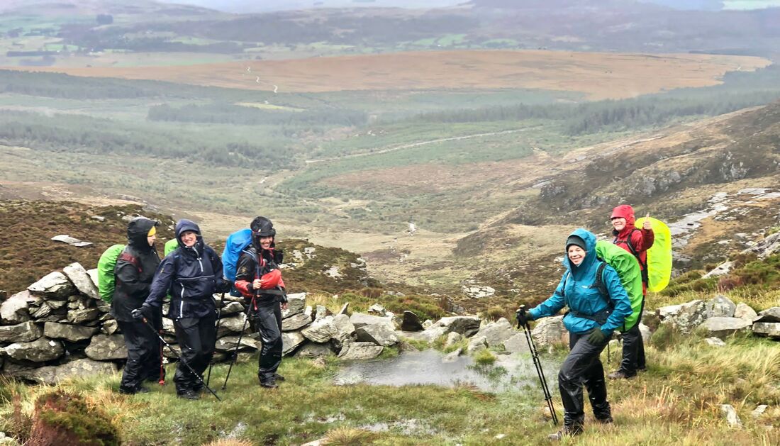
Thursday
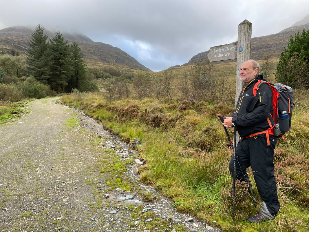
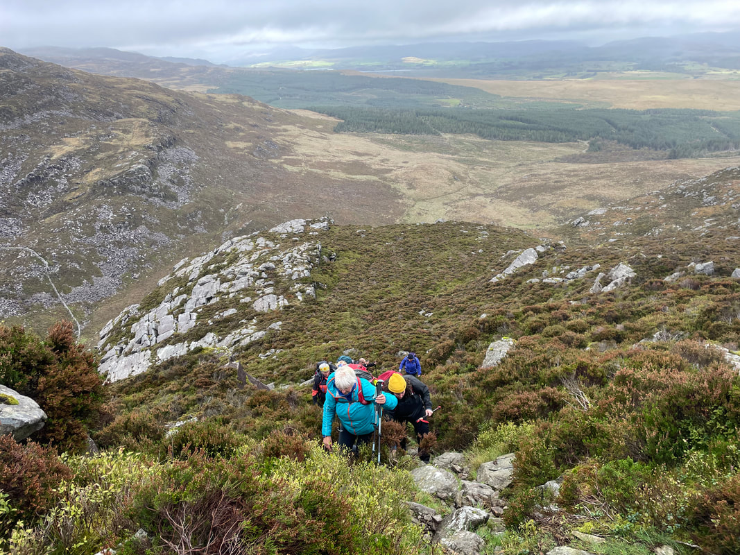
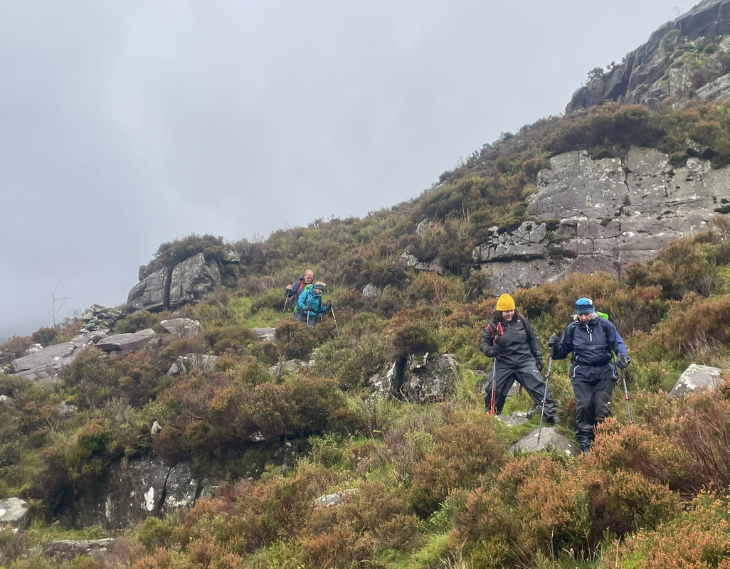
Rhinog Fawr approaching from the east. I decided to park further into the forestry this time to shorten the walk in. The winds were strong again today and lower cloud than we'd seen all week so not much intention of reaching the top. Much of the path up to the top of the Roman Steps (that come in from the west) in Bwlch Tyddiad, was flooded but only shallow water. Then a path to take us up to Llyn Du. We stopped quickly here for something to eat in the wind and rain before heading back down. We decided to go back to our accommodation before venturing out again to investigated the visitors centre at Coed y Brenin.
Maybe next time we'll actually get to the summit - the mountains wait for us!

Friday
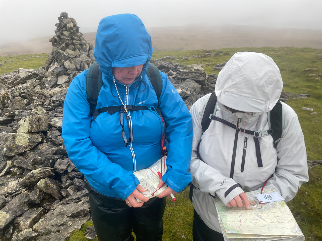
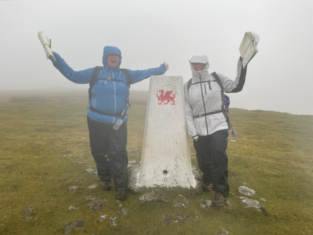
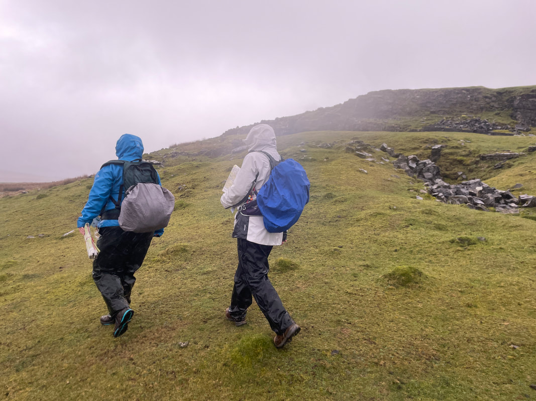
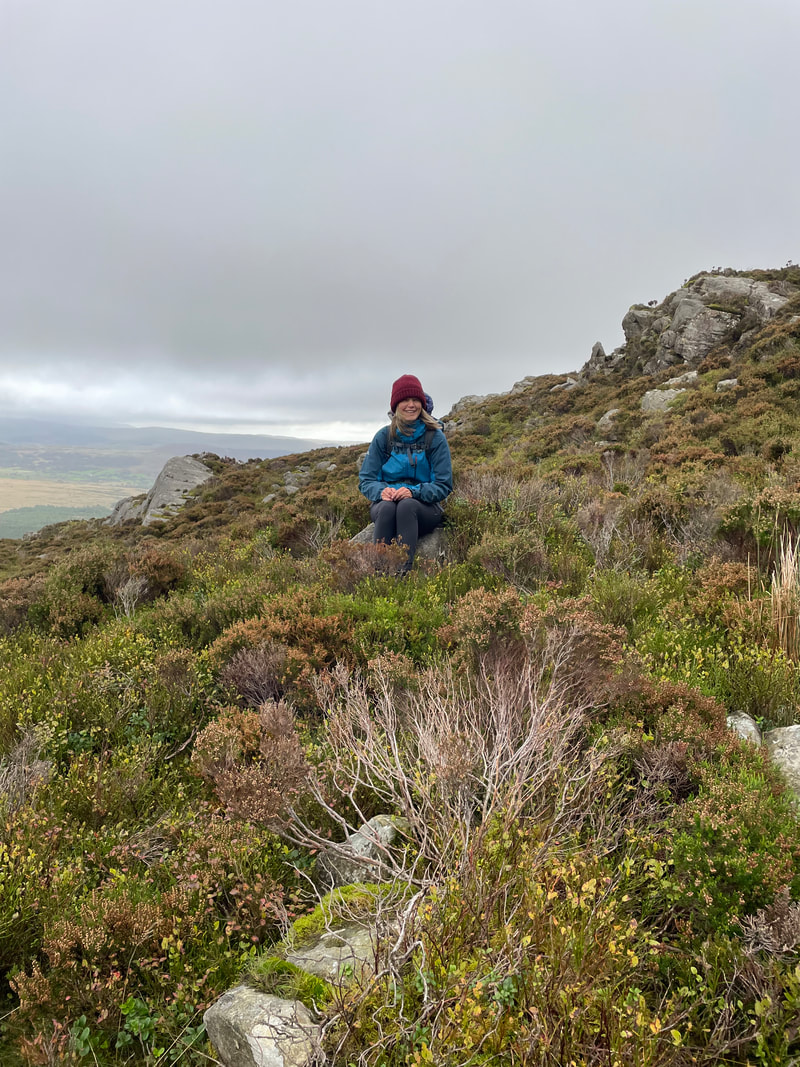
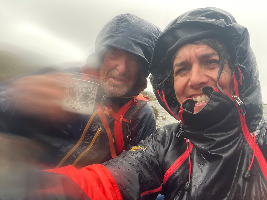
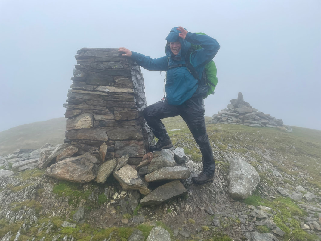
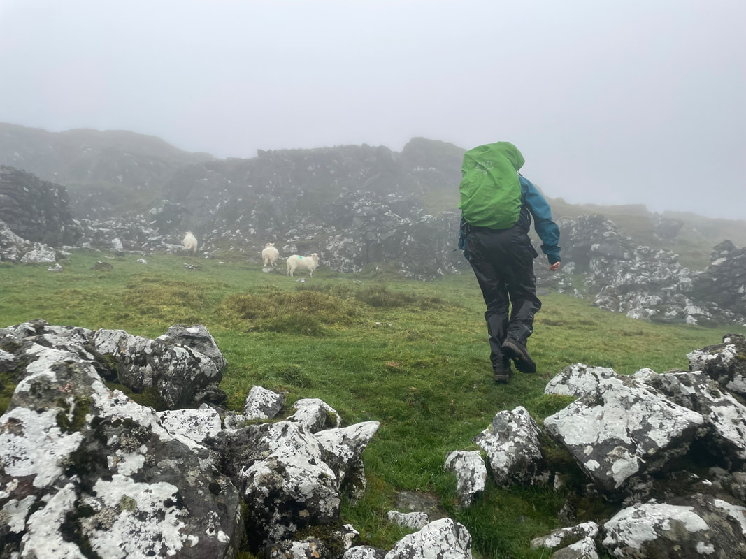
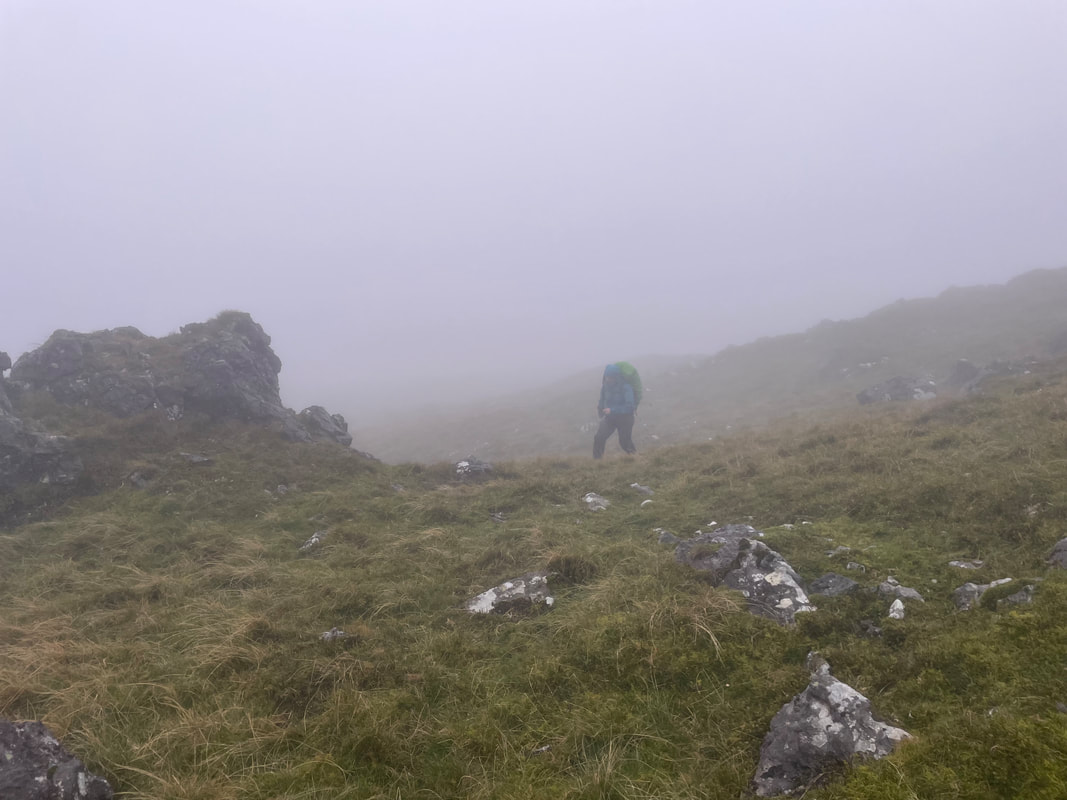
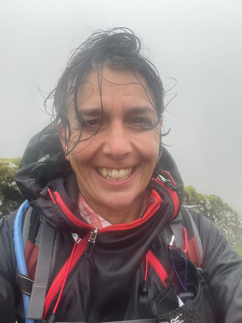
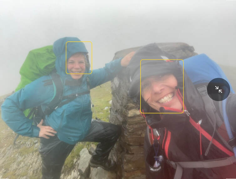
Just me and Andrea today to venture on to Rhobell Fawr - and we made it right to the top. The walk begins with a beautiful woodland path on an old track, very steady. Despite the rain and the wind it wasn't too bad once actually in the clouds. It is a fairly easy walk, handrailing a stone wall that takes you more or less to the summit. No visibility at the top, so using the compass we quickly came down to the wall again for our descent, using the same way down. It was so windy up there, I tried to take a selfie but only managed a screen shot.
Just me and Andrea today to venture on to Rhobell Fawr - and we made it right to the top. The walk begins with a beautiful woodland path on an old track, very steady. Despite the rain and the wind it wasn't too bad once actually in the clouds. It is a fairly easy walk, handrailing a stone wall that takes you more or less to the summit. No visibility at the top, so using the compass we quickly came down to the wall again for our descent, using the same way down. It was so windy up there, I tried to take a selfie but only managed a screen shot.
Thank you to all participants for bearing up and being brave in the conditions that we faced - it wasn't easy.
'til next time!
'til next time!
Day 1
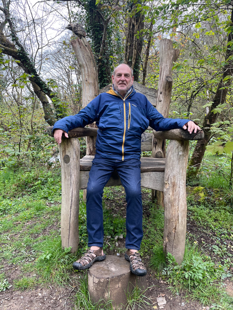
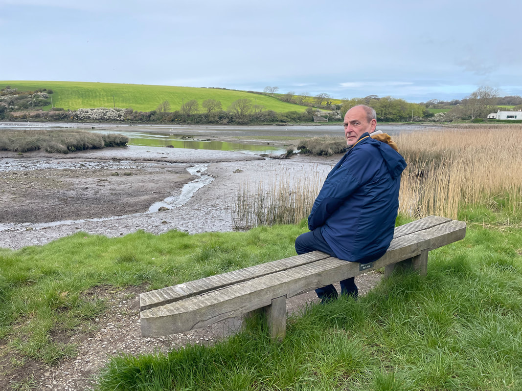
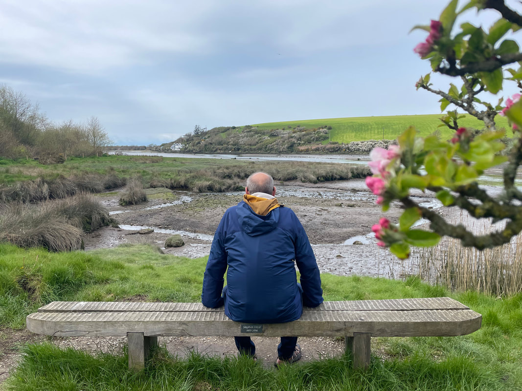
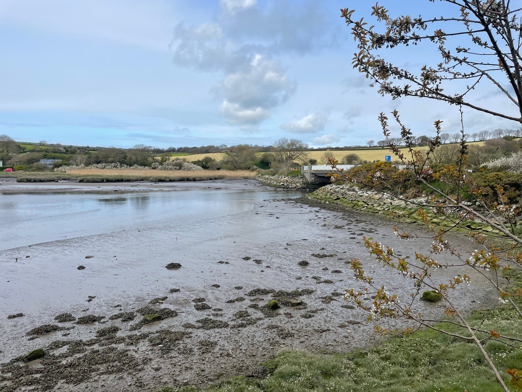
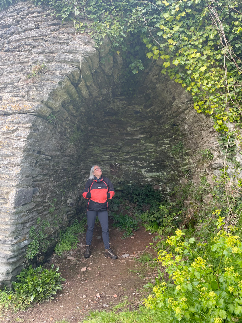
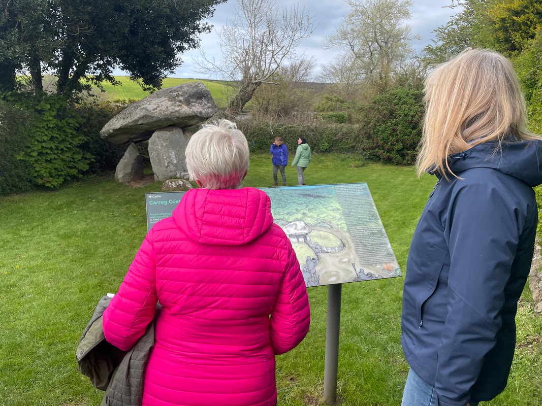
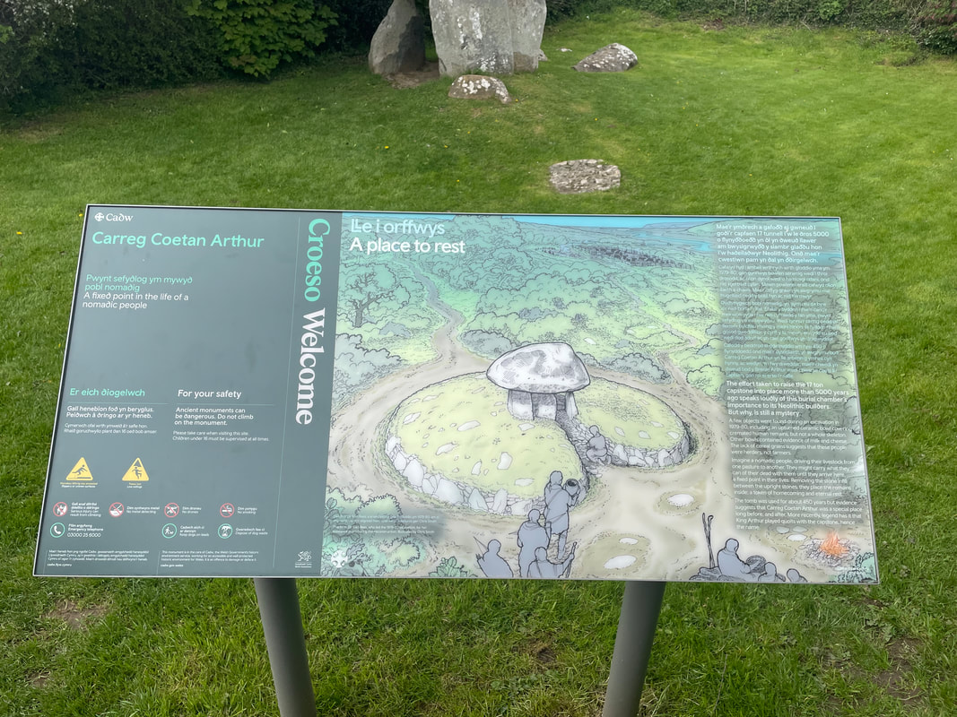
We met at Castell Henllys only to find it had been shut for 2 days for emergency tree surgery. Wendy who knows Newport well, suggested that she took us on a short walk from the estuary, so this is what we did instead and it was very enjoyable. Lots of wild life and sighting of Shell ducks and many wild flowers. We visited the Neolithic burial chamber Carreg Coetan Aurthur.
Soon after arrival at the farmhouse we provided a wellcome drink and ran through the itinerary for the week.
The accommodation is perfect having a large farmhouse kitchen, which is a great social area.

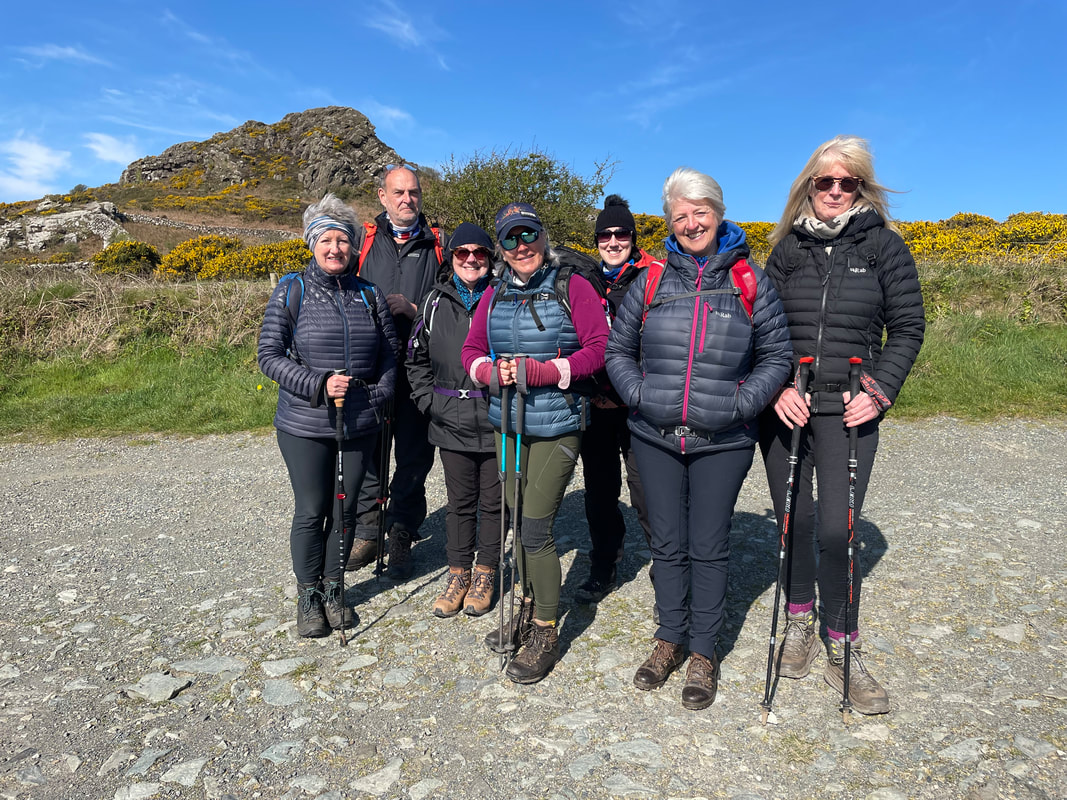
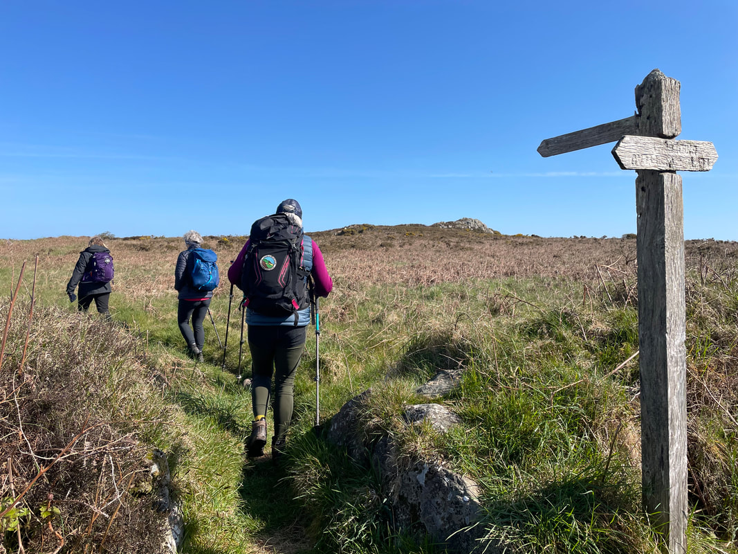
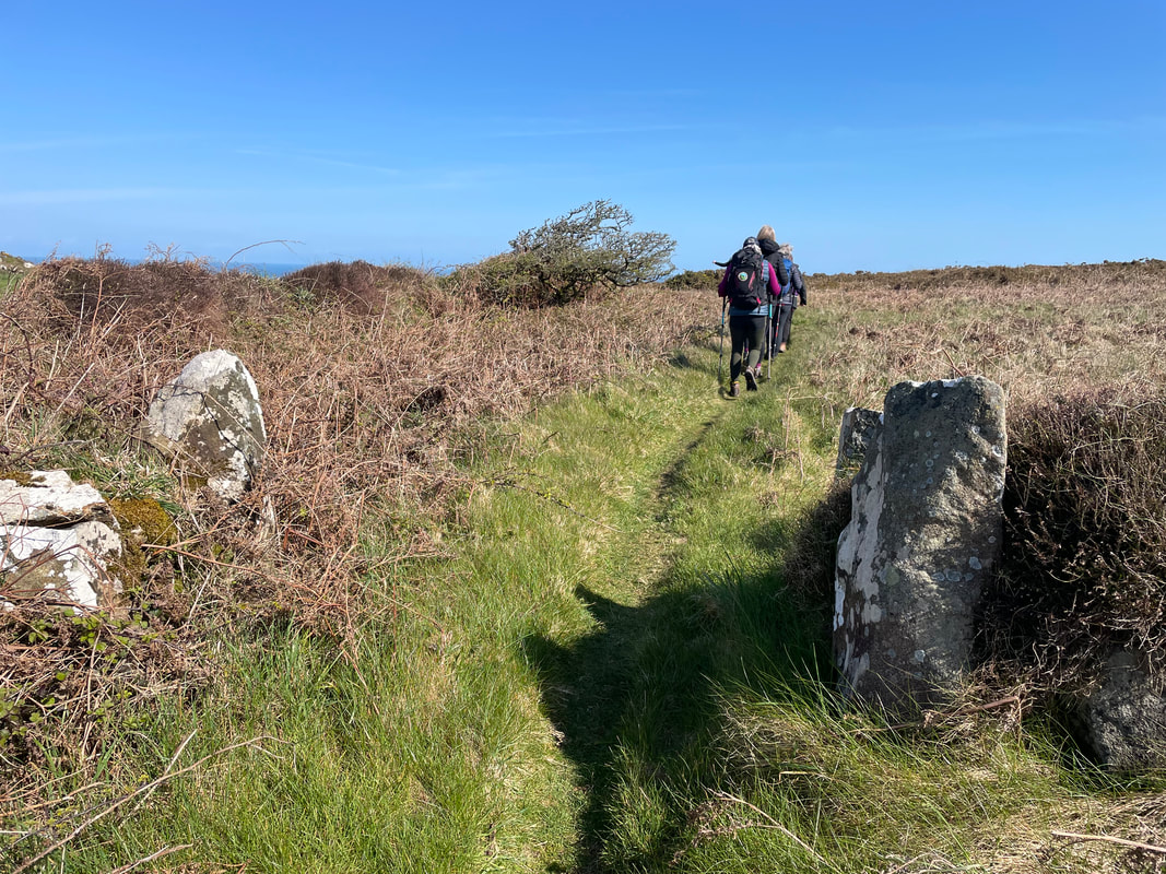
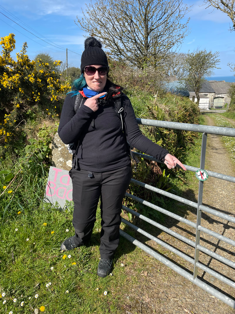
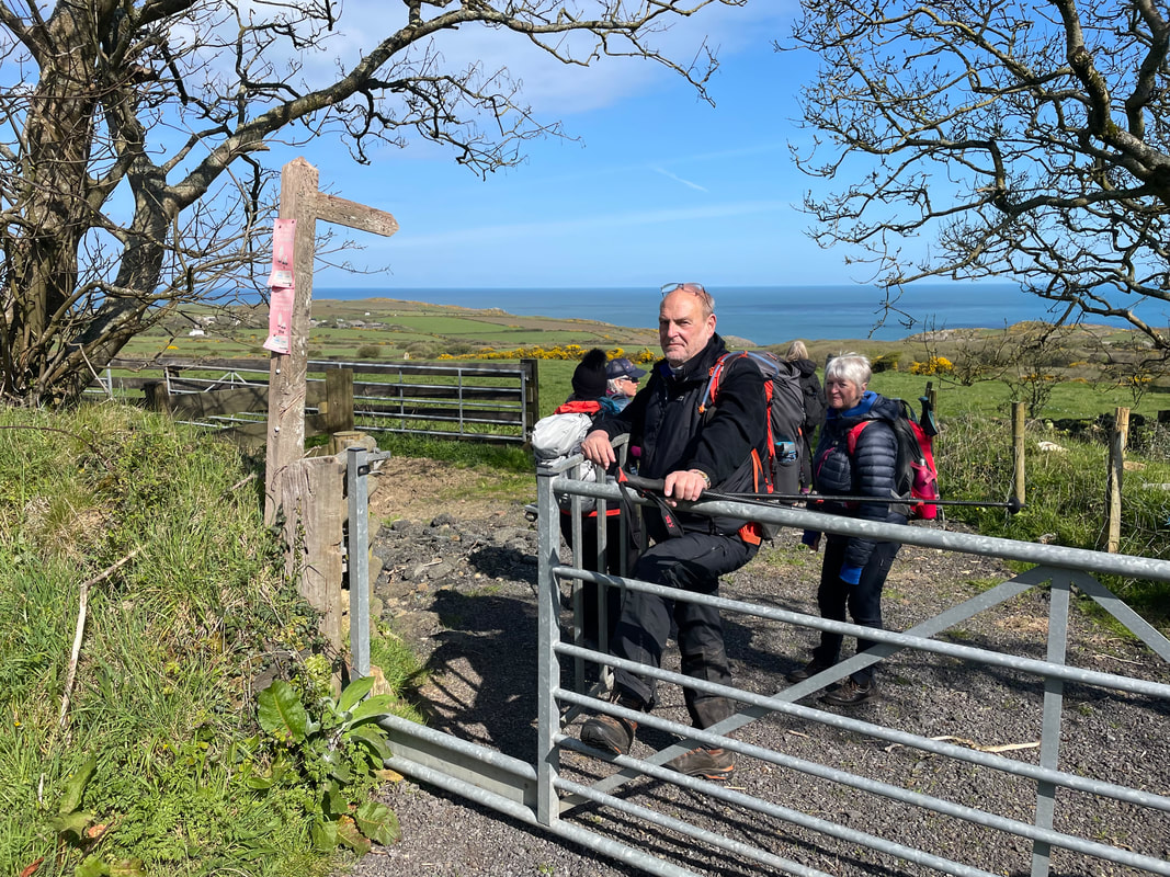
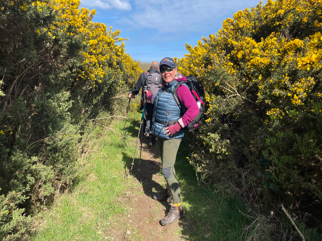
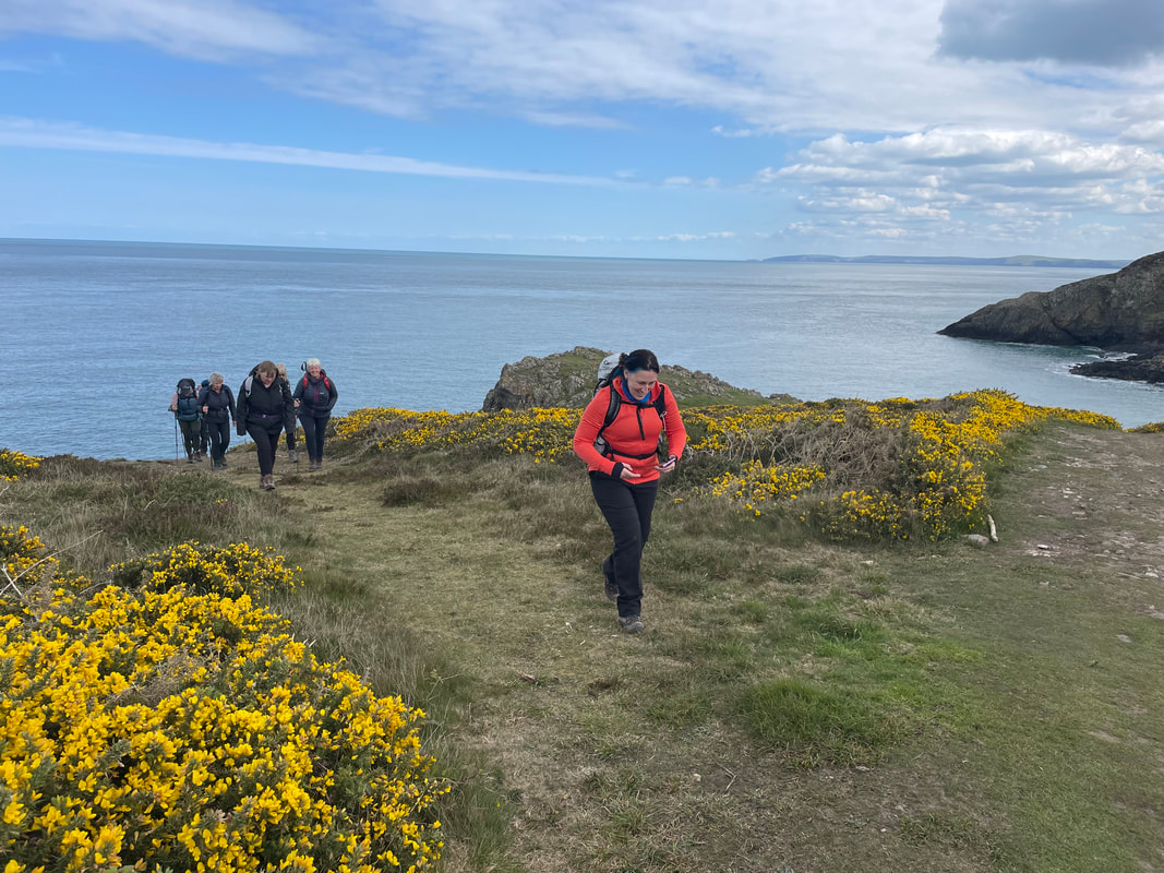
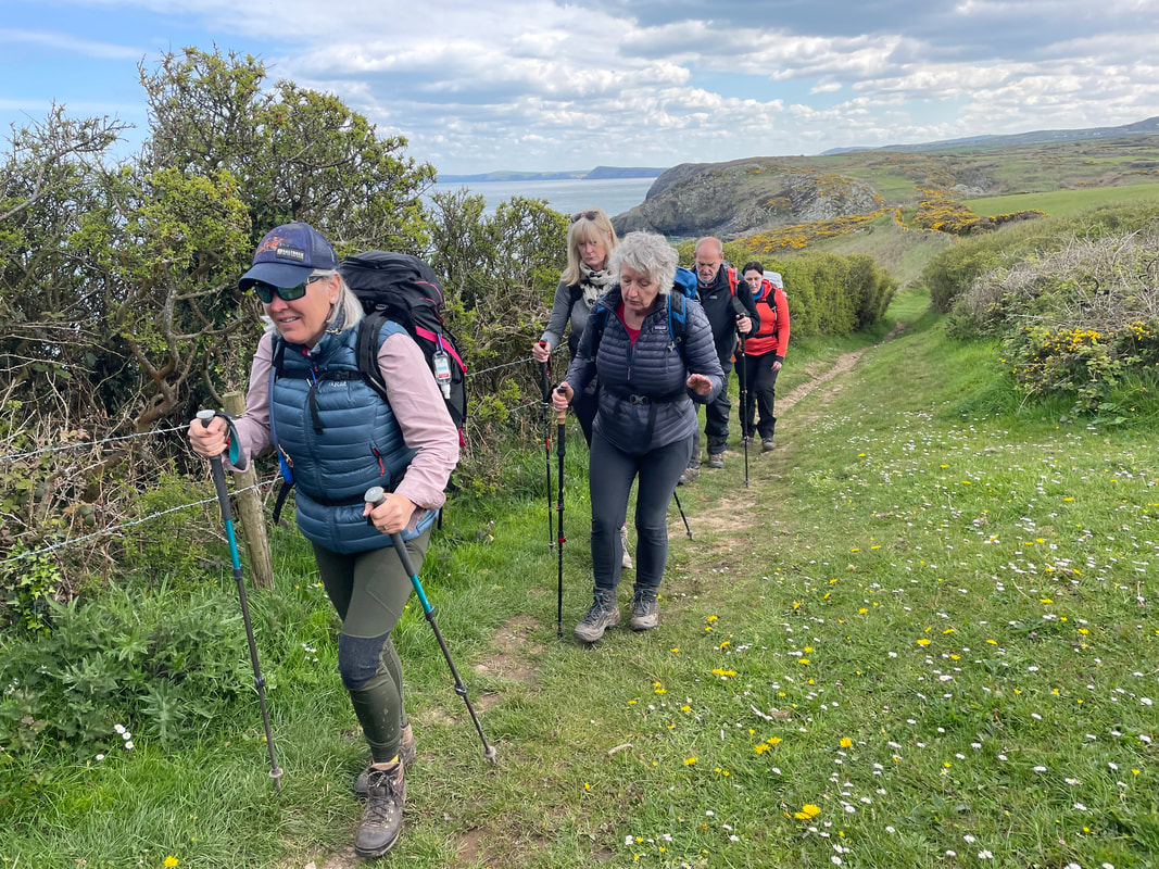
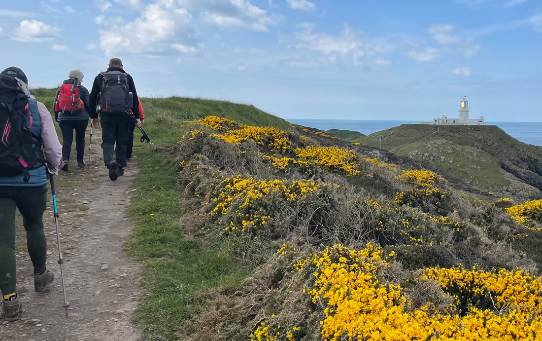
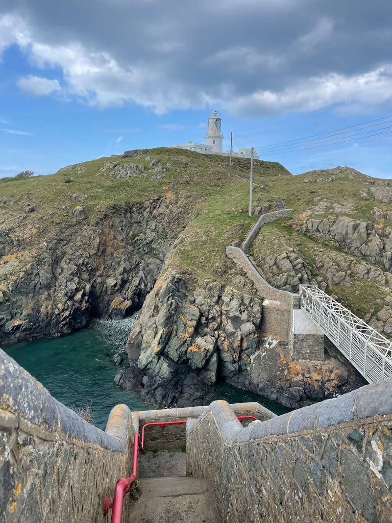
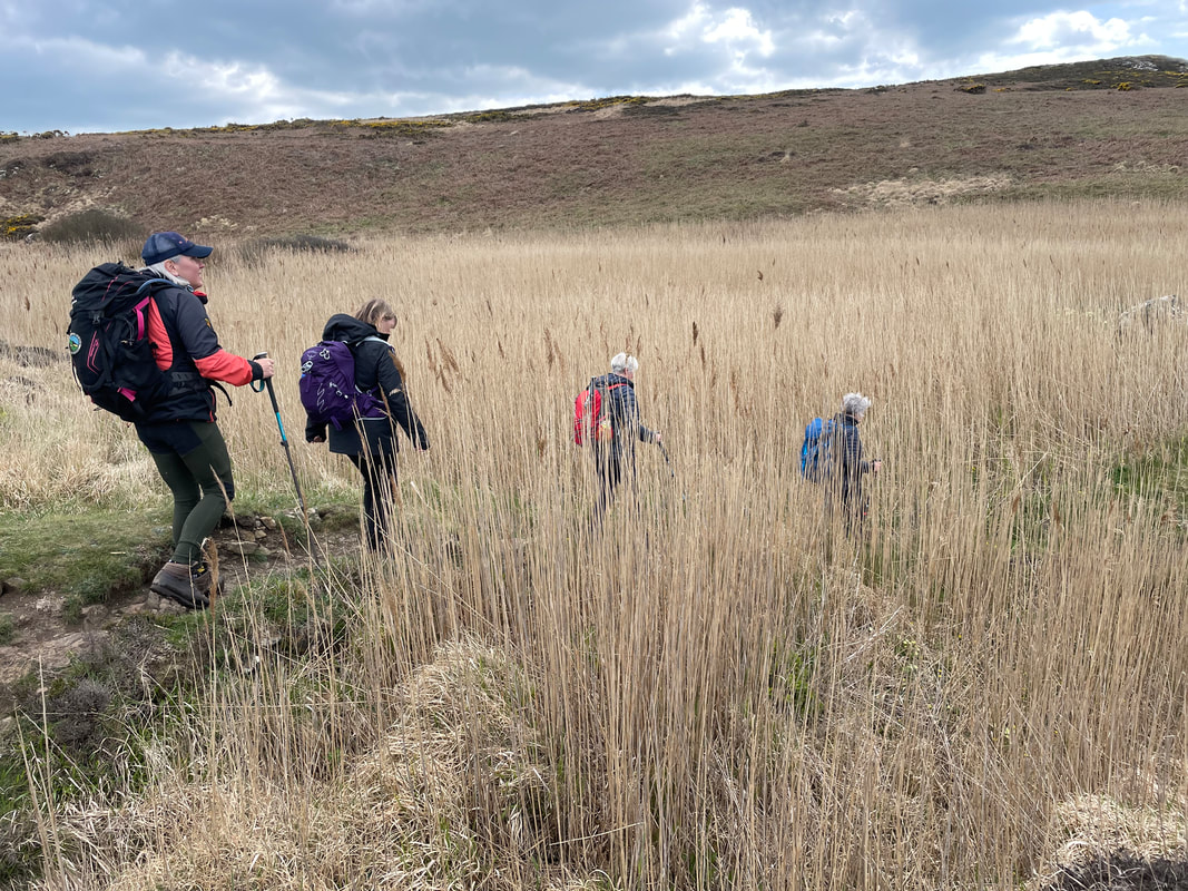
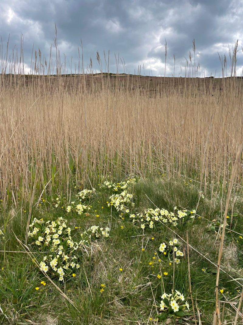
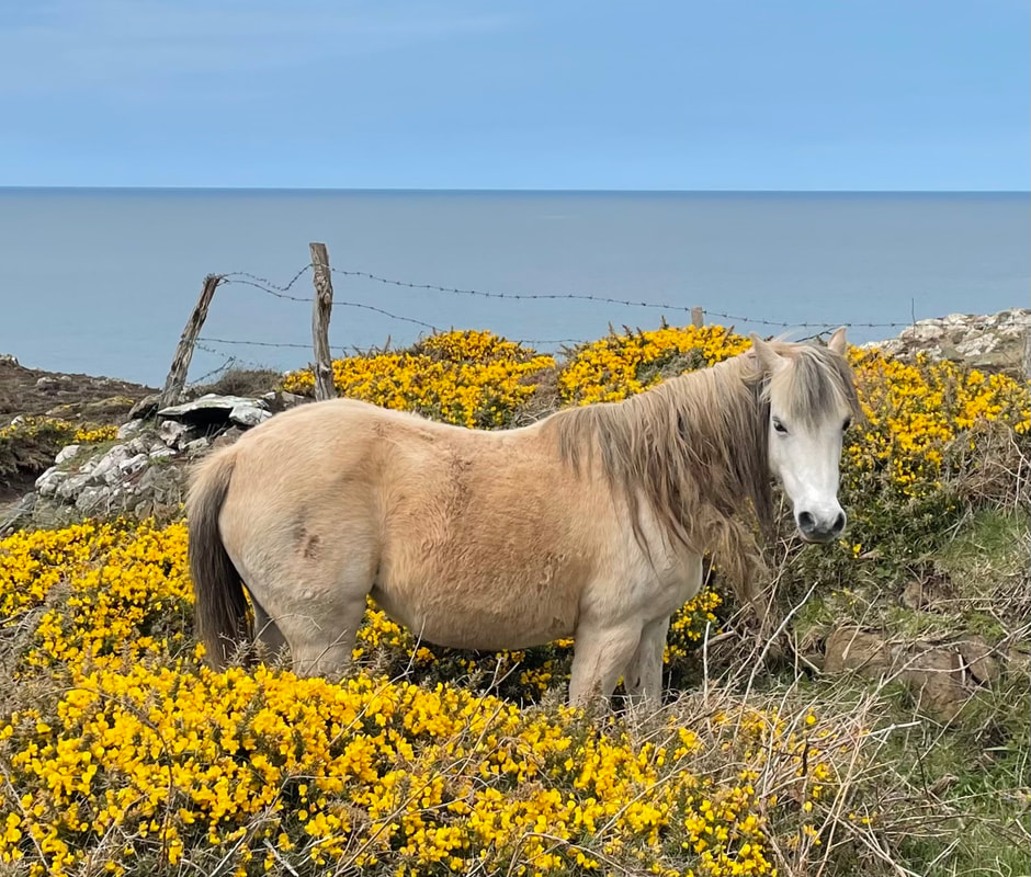
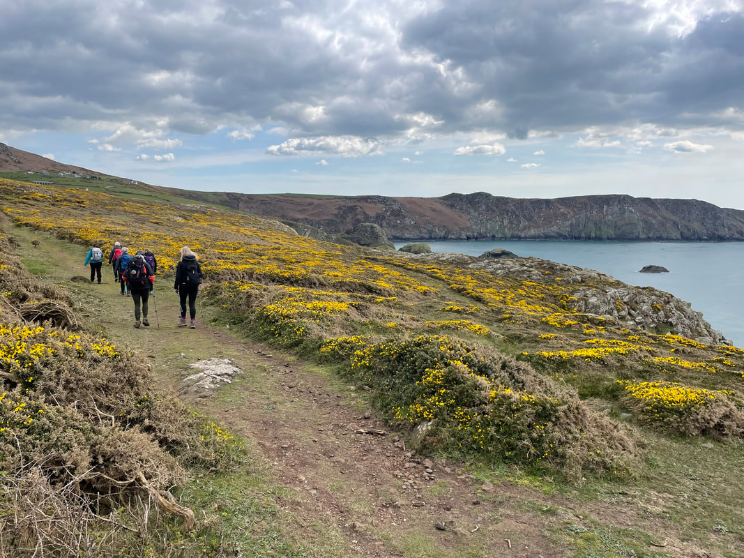
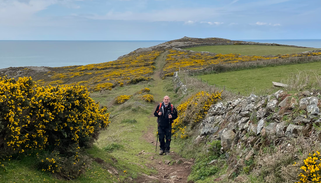
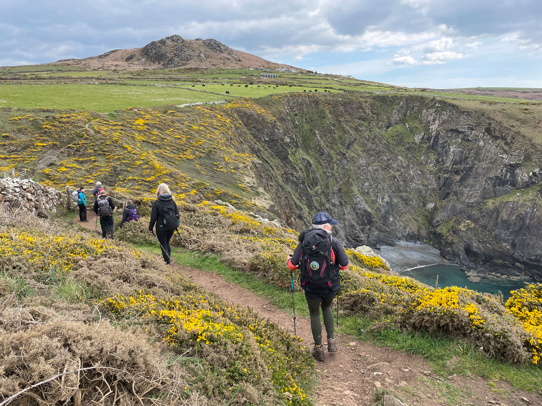
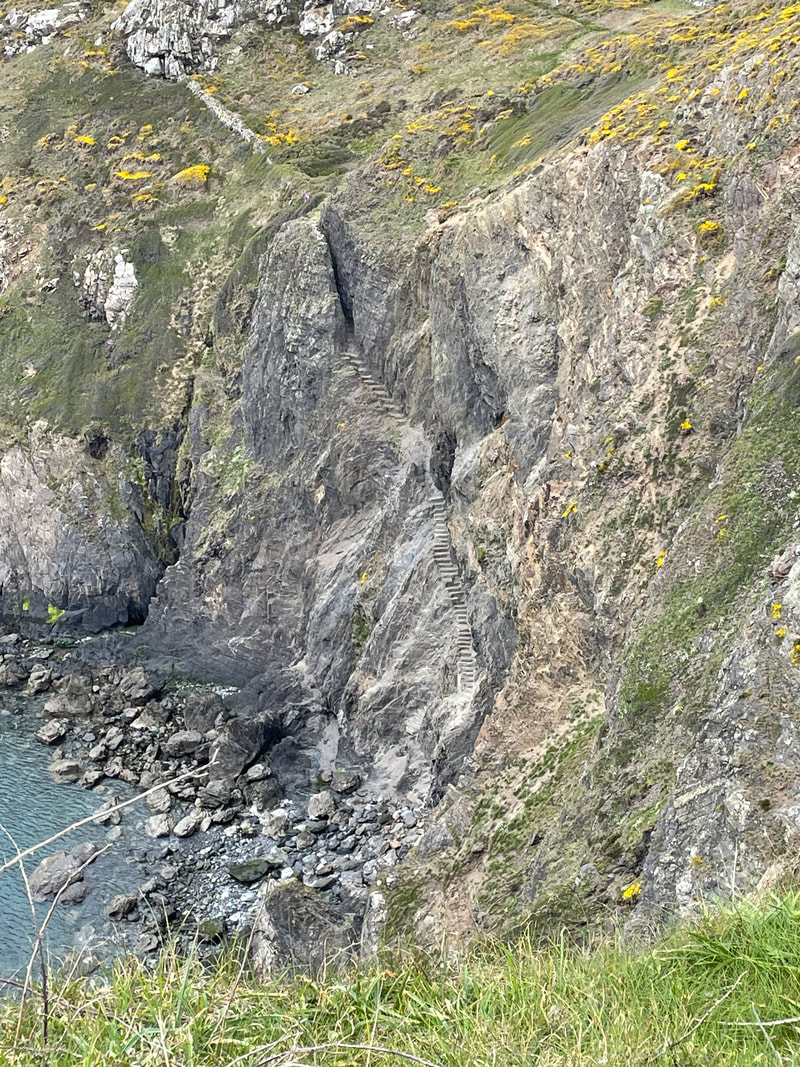
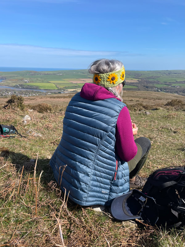
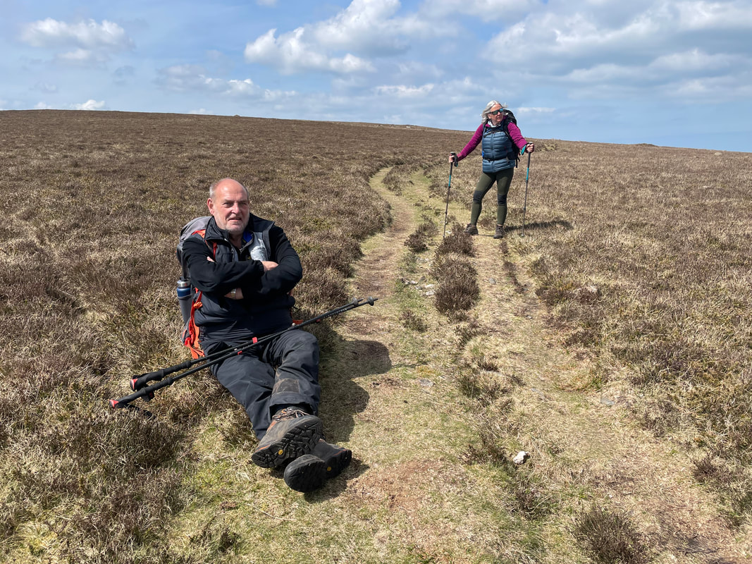
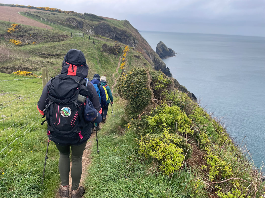
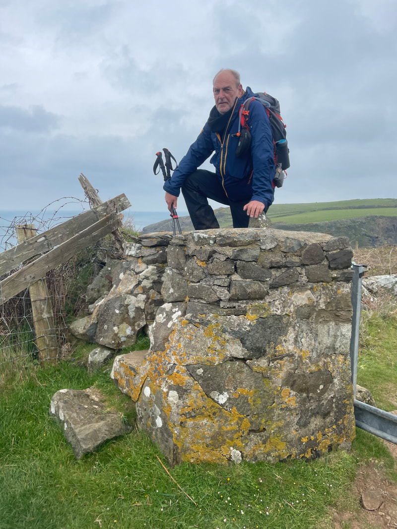
Day 2 - Strumble Head circular 11km
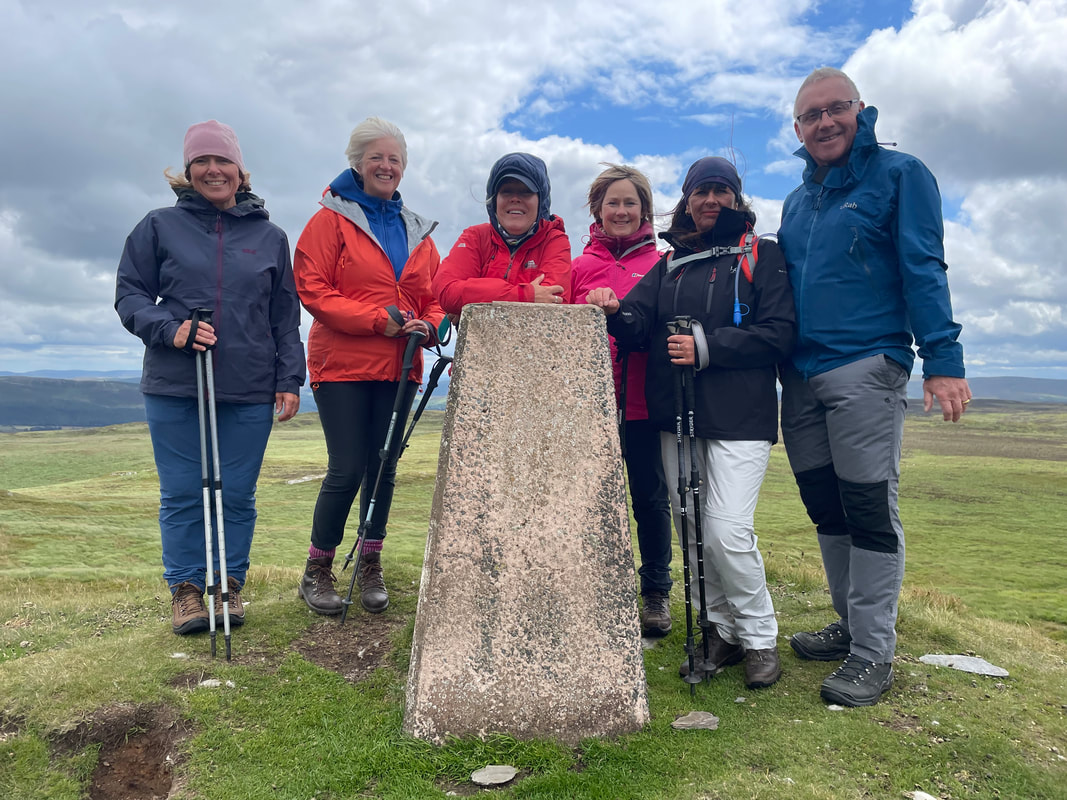
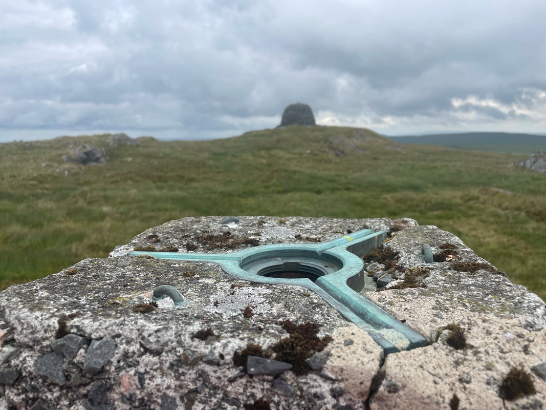
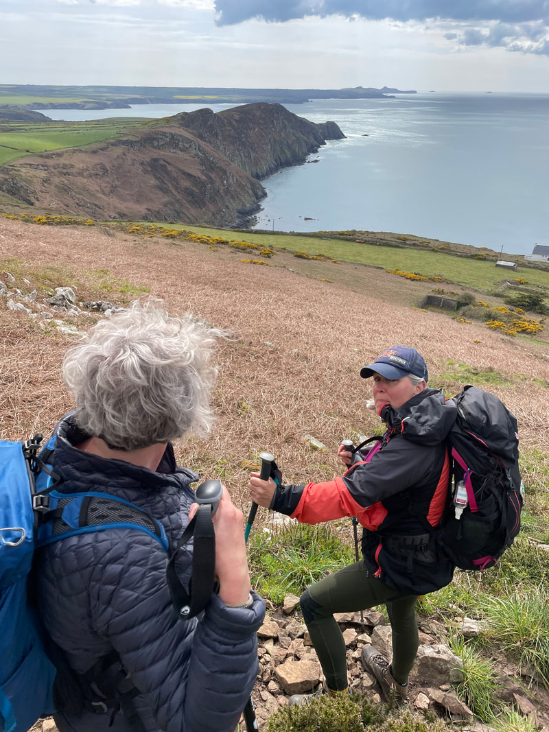
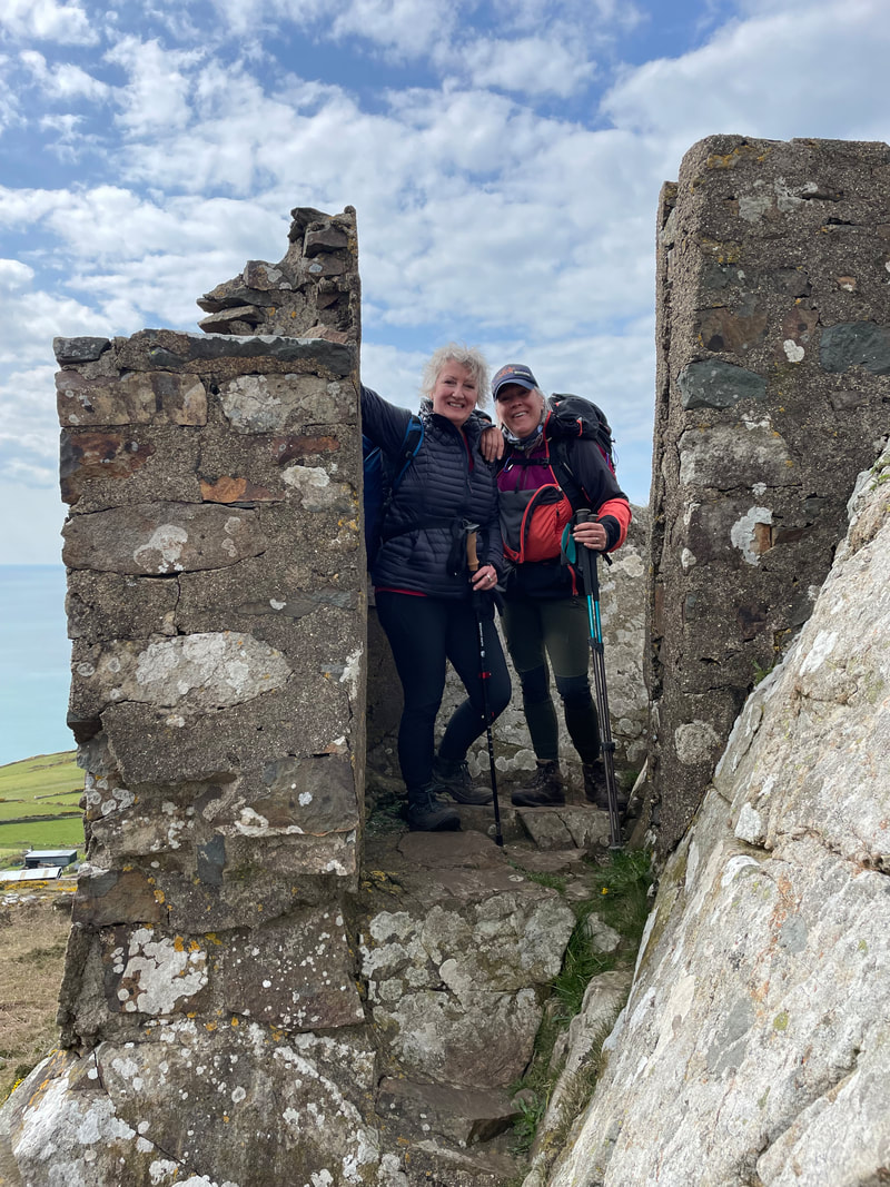
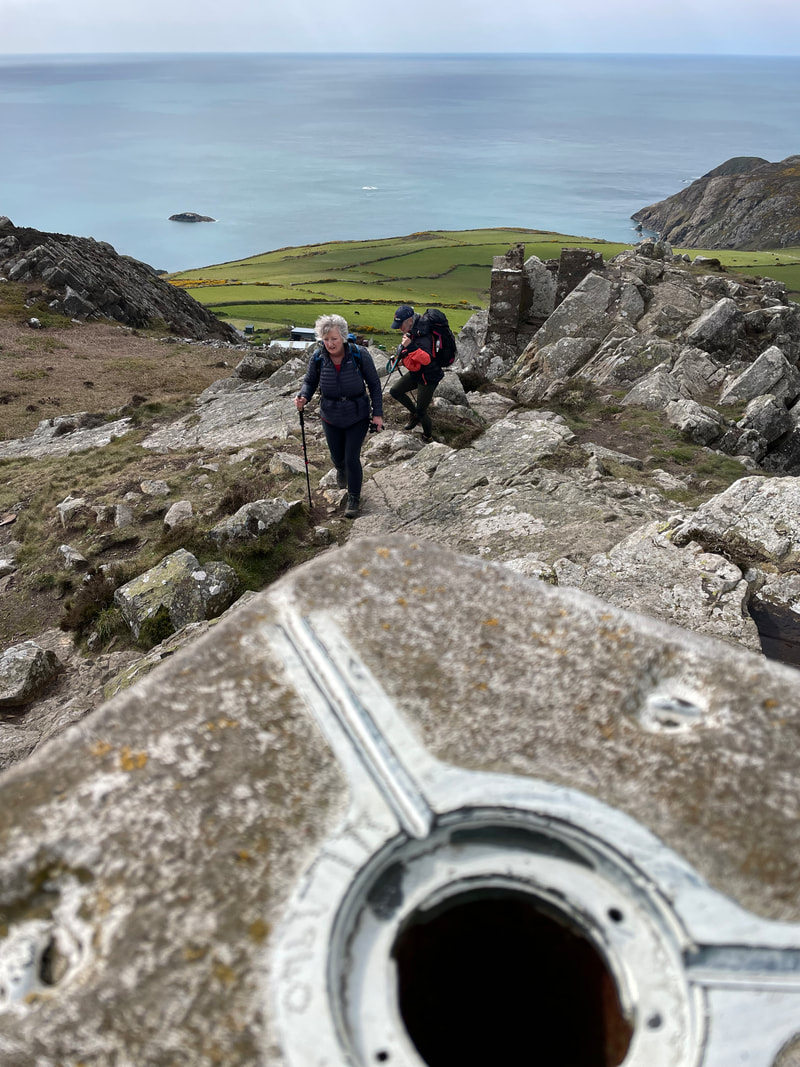
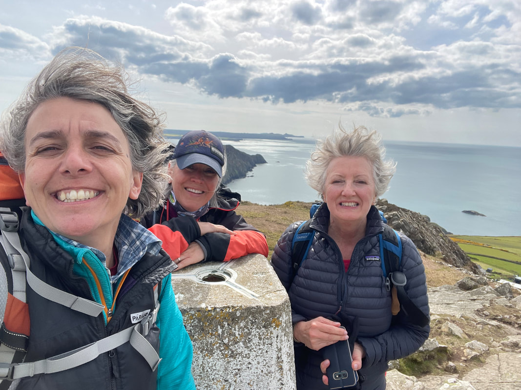
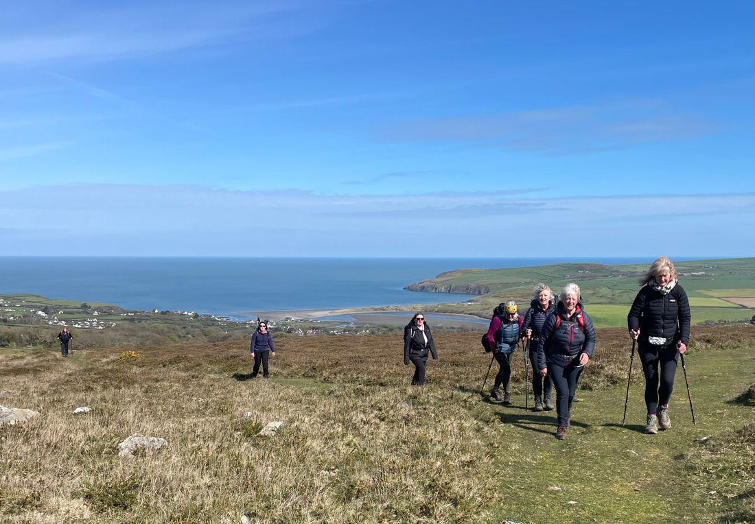
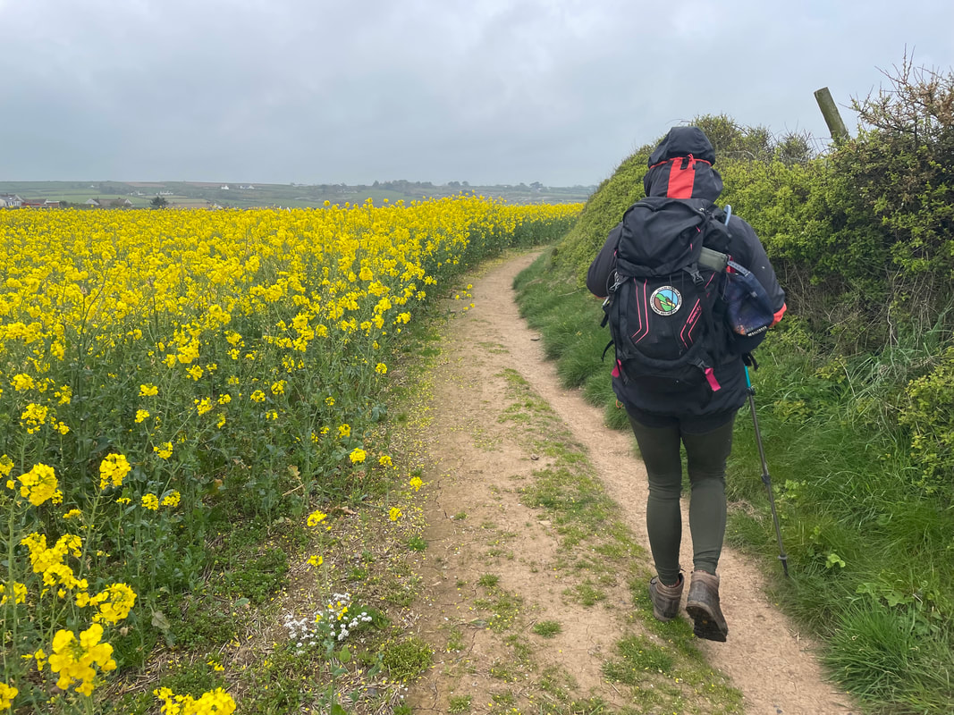
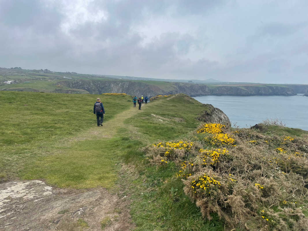
The weather was better than expected (the drive down the day before had been torrential). This was a circular route, some paths were quite muddy but we had certainly timed it right to see the bright yellow gorse in full bloom and so many different wild flowers. The light house looked spectacular and an optional trig point (Garn Fawr 213m) at the end was the only windy moment of the walk.
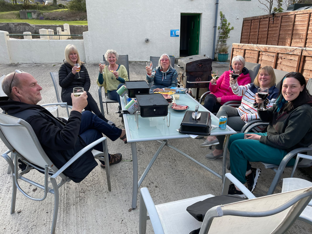
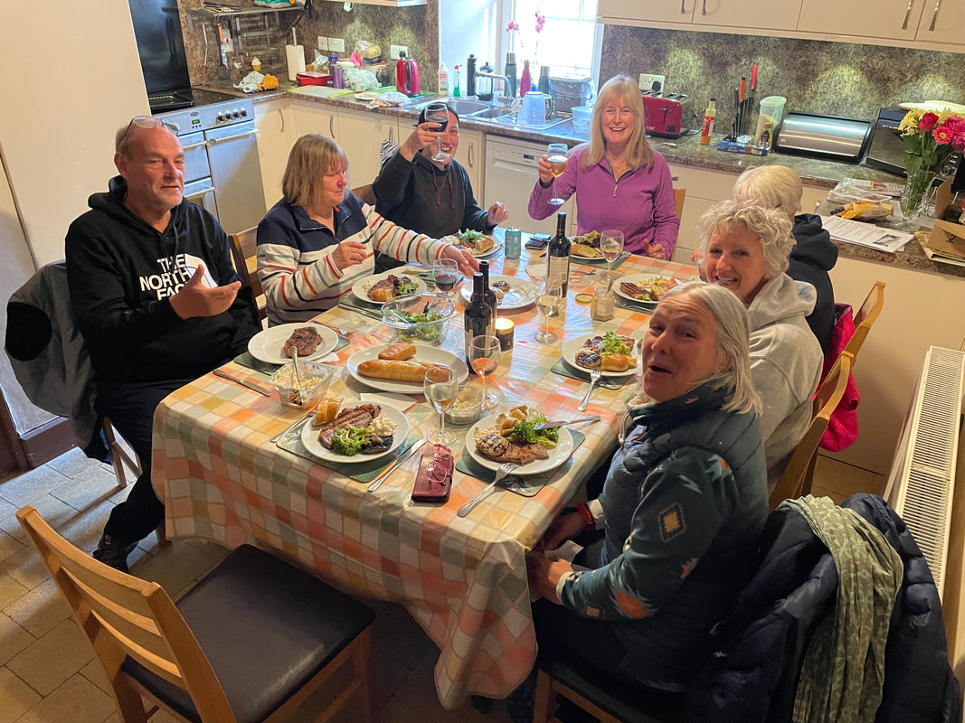
It was unusual for us to have glorious evening sunshine to at least cook the BBQ. Alan always cooks the steaks perfectly to personal specifications - delicious!
The weather was better than expected (the drive down the day before had been torrential). This was a circular route, some paths were quite muddy but we had certainly timed it right to see the bright yellow gorse in full bloom and so many different wild flowers. The light house looked spectacular and an optional trig point (Garn Fawr 213m) at the end was the only windy moment of the walk.
It was unusual for us to have glorious evening sunshine to at least cook the BBQ. Alan always cooks the steaks perfectly to personal specifications - delicious!
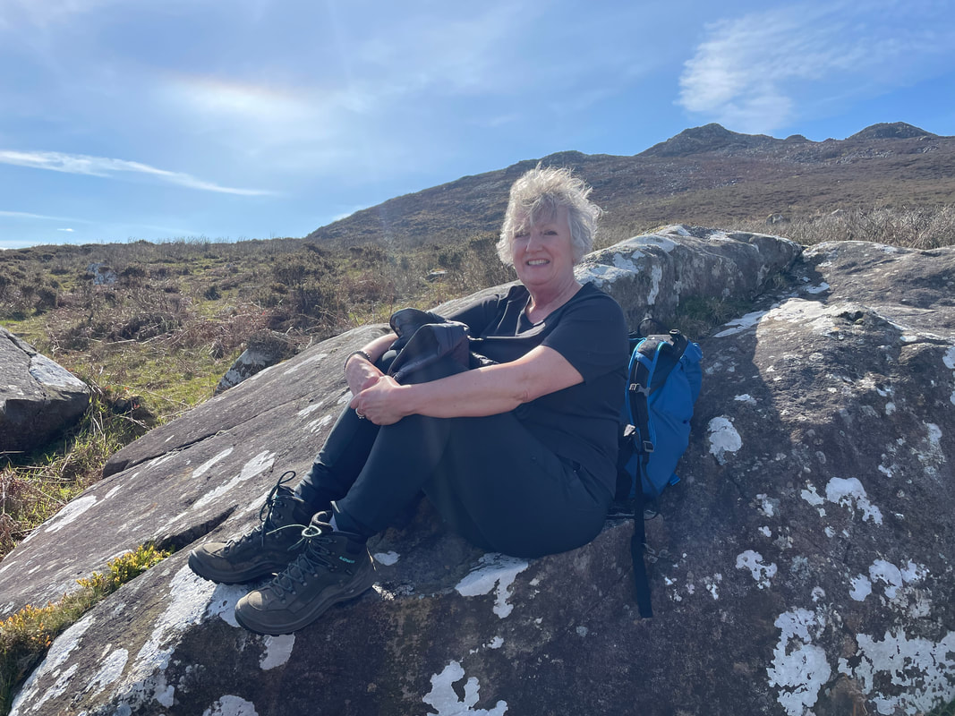
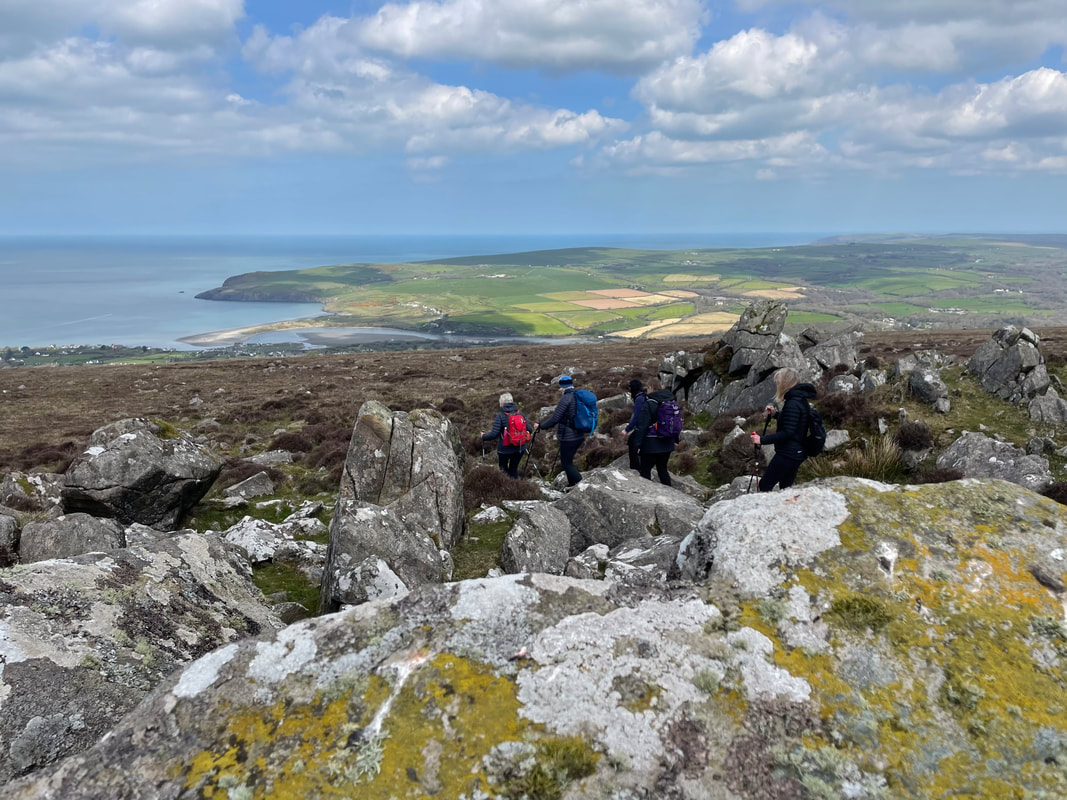
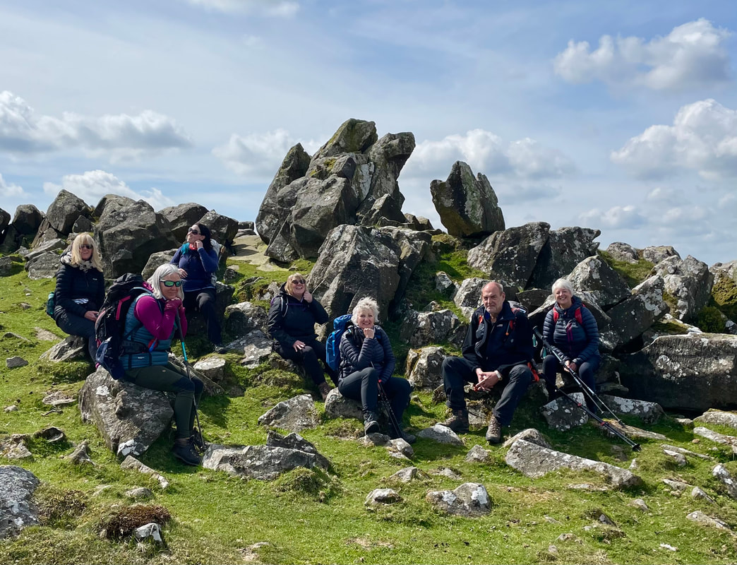
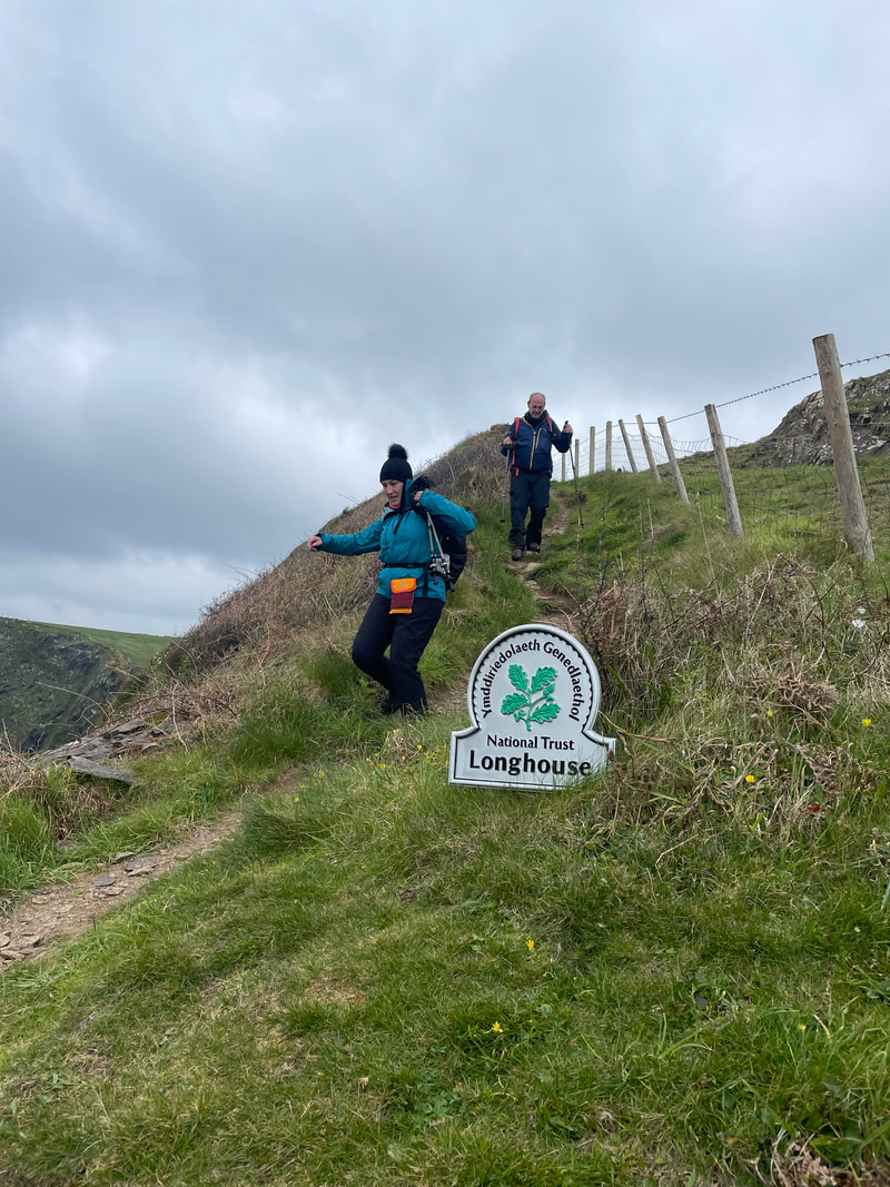
Day 3 - Carningli circular from Newport 7km
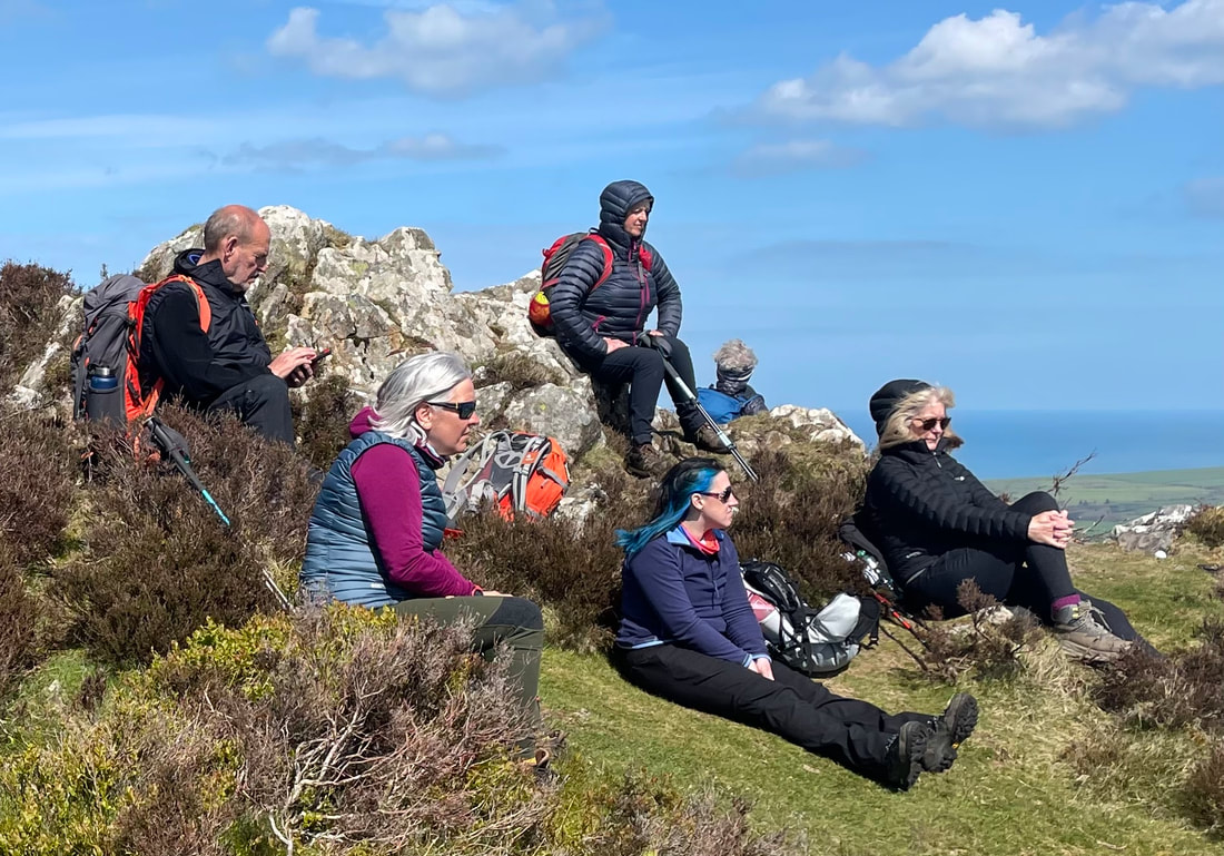
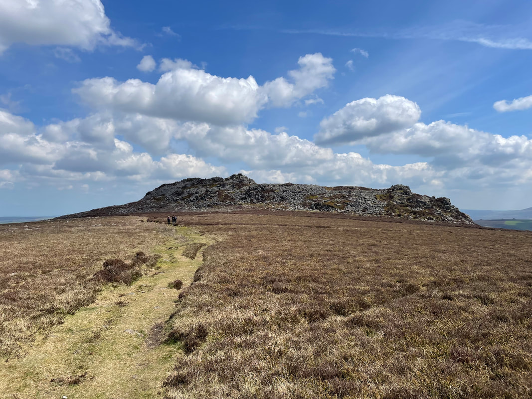
A magical area and very accessible and good fun, short and sweet scramble to the top of the rocky outcrop. We had fantastic views albeit a little hazy. A route was chosen from Newport town centre and from the top we walked over to a large Bronze Age cairn.
Time for a coffee in Newport and a browse of the independent shops. A few holiday purchases were made.
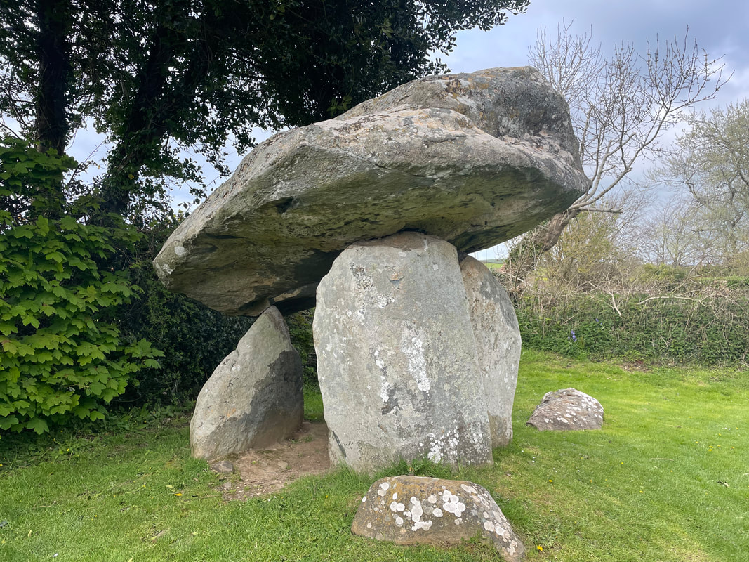
On route back we visited the burial chamber Pentre Ifan. The really big one!
It was unusual for us to have glorious evening sunshine to at least cook the BBQ. Alan always cooks the steaks perfectly to personal specifications - delicious!
A magical area and very accessible and good fun, short and sweet scramble to the top of the rocky outcrop. We had fantastic views albeit a little hazy. A route was chosen from Newport town centre and from the top we walked over to a large Bronze Age cairn.
Time for a coffee in Newport and a browse of the independent shops. A few holiday purchases were made.
On route back we visited the burial chamber Pentre Ifan. The really big one!
It was unusual for us to have glorious evening sunshine to at least cook the BBQ. Alan always cooks the steaks perfectly to personal specifications - delicious!

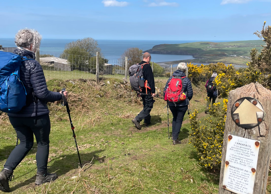
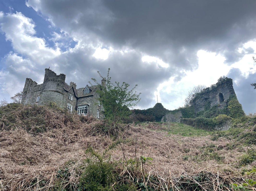
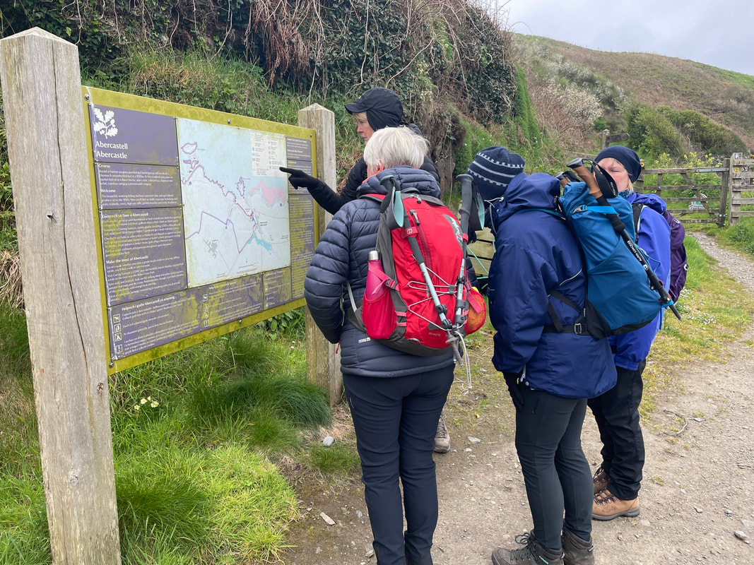
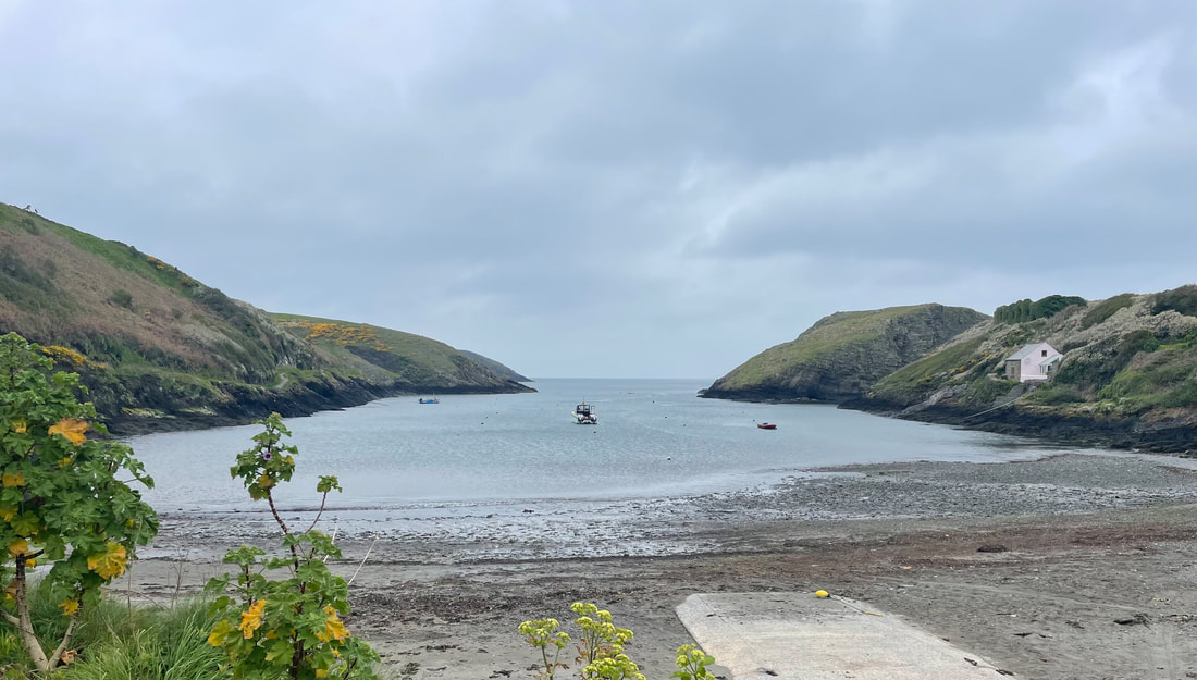
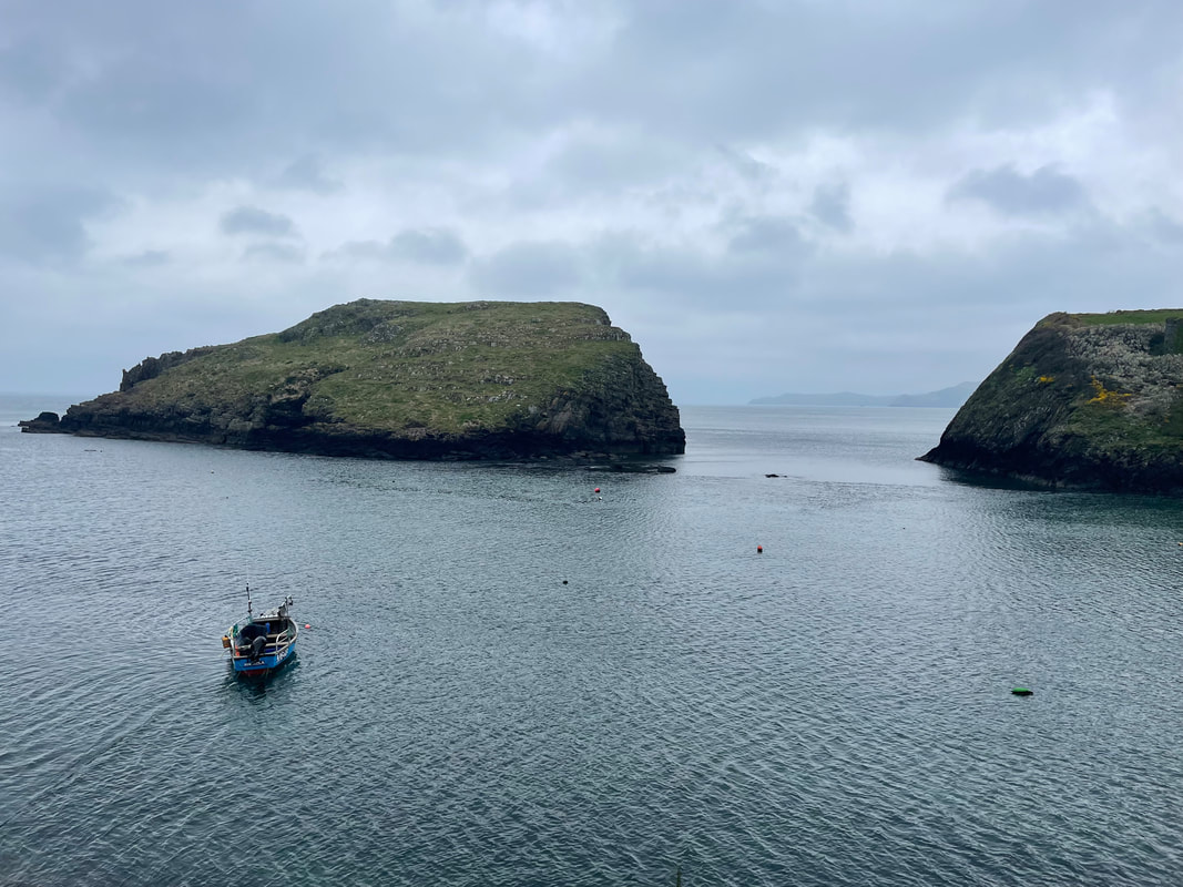
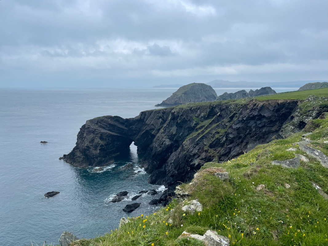
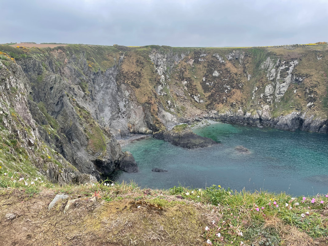
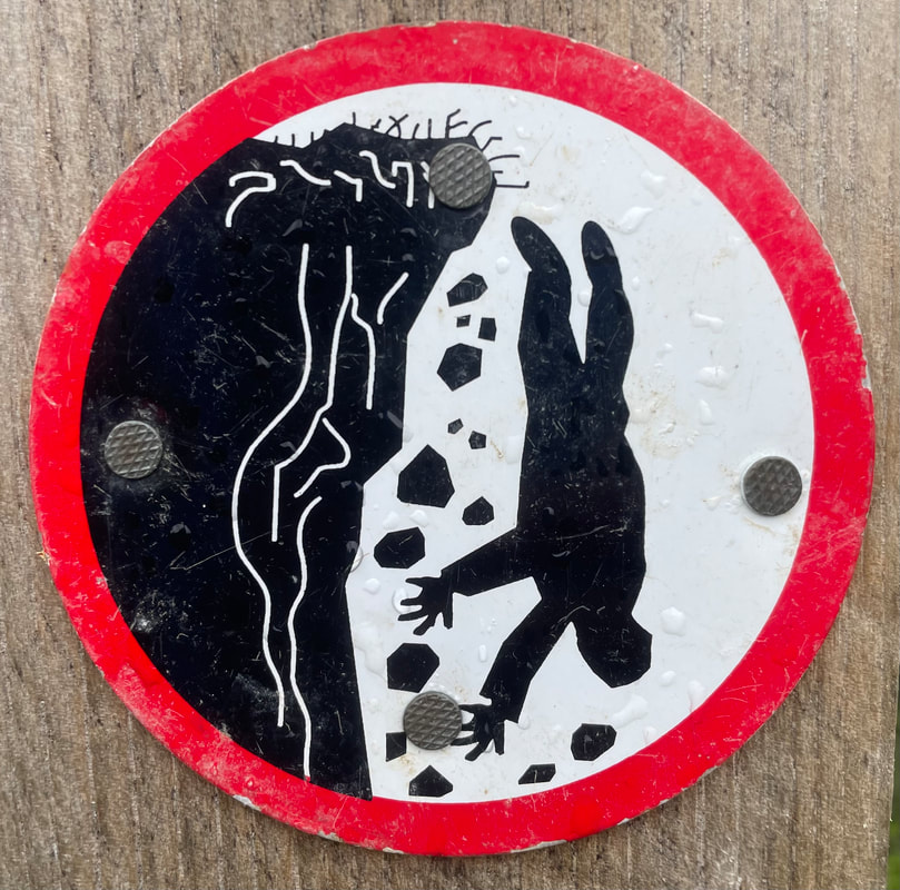
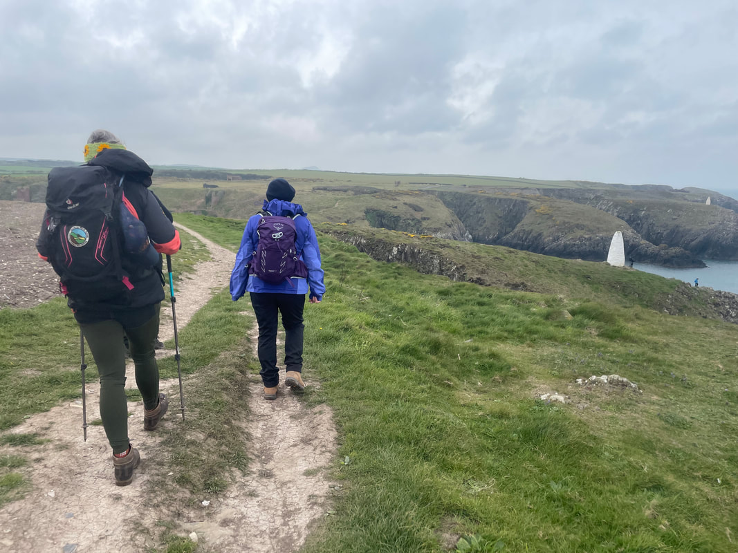
Day 3 - Abercastle to Porthgain and Abereiddy 8km
After discovering that all the puffin shuttle buses had been cancelled for the whole summer and bad weather was forecast Alan and I had some thinking to do for contingency.
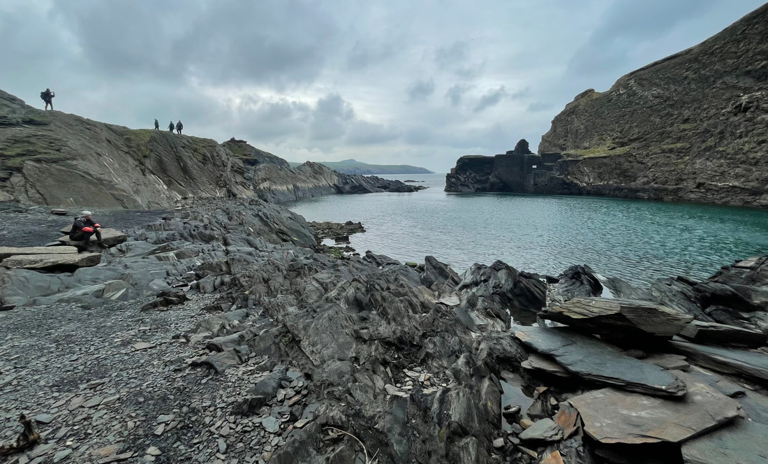
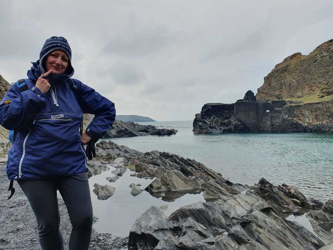
It turned out to be a fabulous day, the only bit of rain when we had out coffee stop. The coast line is magnificent and the sea like a mill pond as the wind was blowing south easterly and was sheltered by the cliffs. We were on the look out for seals the whole time and did spot one or two.
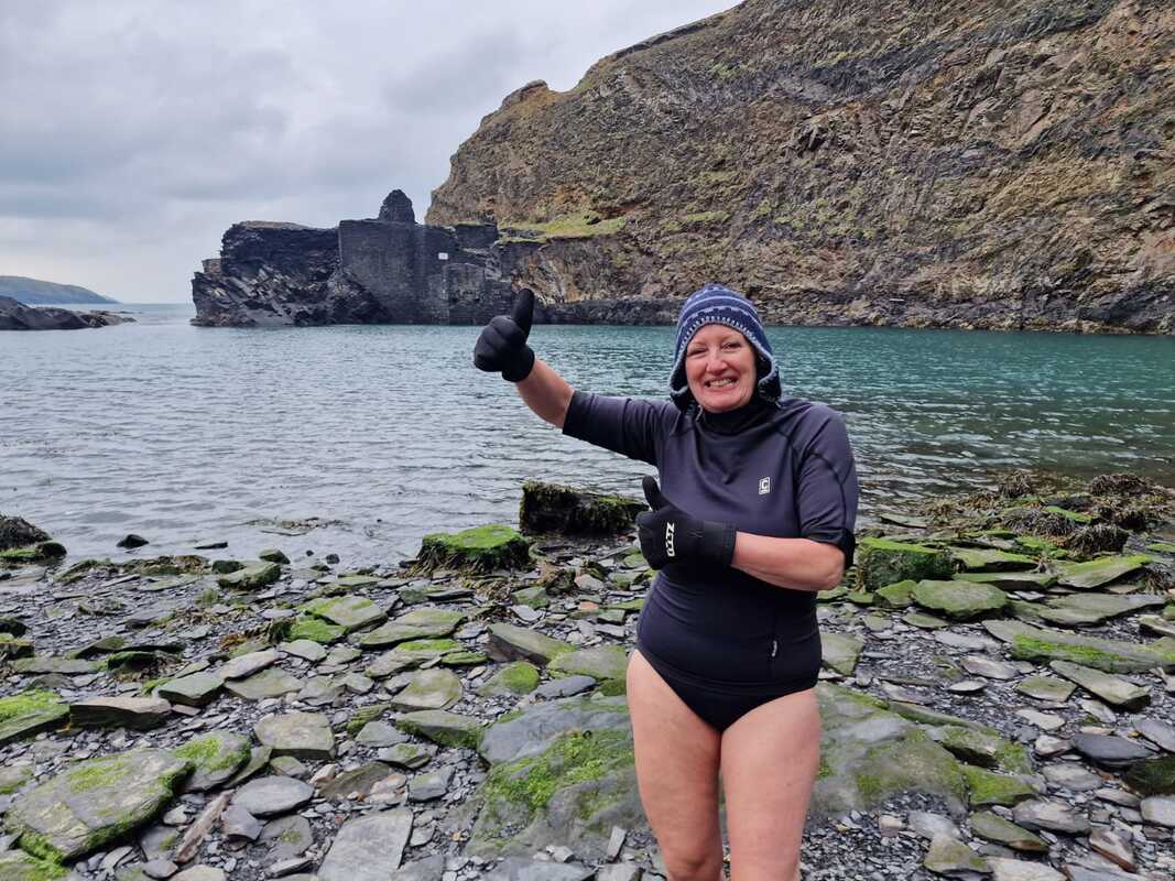
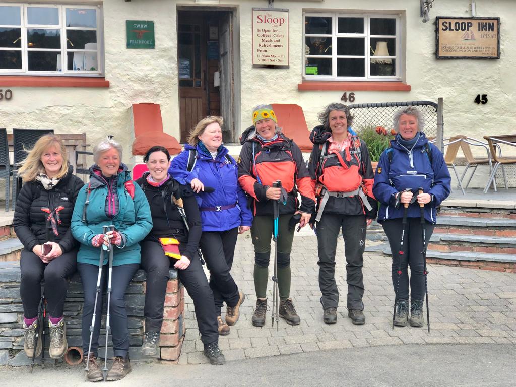
Lunch at the Sloop Inn was a success albeit the dos and don’ts signs everywhere. The minibus was parked here, so we all piled in and took off to Abereiddy just a stone’s throw down the coast. The Blue Lagoon is a popular swimming safe area but was deserted on this cold April day. This didn’t put Louise off who gave us the highlight of the day and confidently and calming went for a swim.
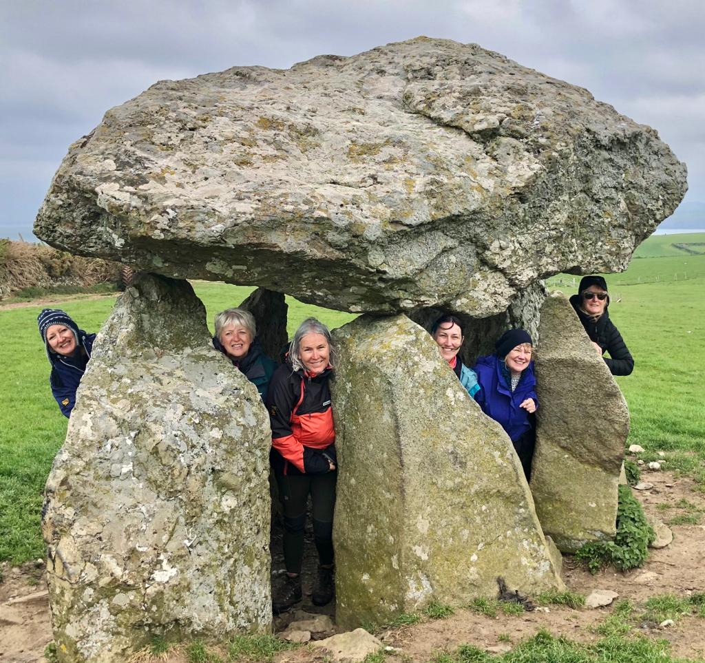
Everyone was dropped off at an accessible place to visit the third burial chamber of the week Careg Sampson and returned along the coastal path.
In the evening we are out at the Golden Lion in Newport which none of us could fault.
After discovering that all the puffin shuttle buses had been cancelled for the whole summer and bad weather was forecast Alan and I had some thinking to do for contingency.
It turned out to be a fabulous day, the only bit of rain when we had out coffee stop. The coast line is magnificent and the sea like a mill pond as the wind was blowing south easterly and was sheltered by the cliffs. We were on the look out for seals the whole time and did spot one or two.
Lunch at the Sloop Inn was a success albeit the dos and don’ts signs everywhere. The minibus was parked here, so we all piled in and took off to Abereiddy just a stone’s throw down the coast. The Blue Lagoon is a popular swimming safe area but was deserted on this cold April day. This didn’t put Louise off who gave us the highlight of the day and confidently and calming went for a swim.
Everyone was dropped off at an accessible place to visit the third burial chamber of the week Careg Sampson and returned along the coastal path.
In the evening we are out at the Golden Lion in Newport which none of us could fault.

All in all a very relaxed week with a great bunch. We had lots of laughs and funny moments. Thank you all who came and to Alan Ward who made this week so enjoyable.
'til next time
Archives
April 2024
March 2024
February 2024
December 2023
November 2023
October 2023
May 2023
March 2023
October 2022
September 2022
June 2022
May 2022
March 2022
February 2022
May 2020
April 2020
November 2018
October 2018
June 2018
May 2018
March 2018
February 2018
January 2018
December 2017
November 2017
 RSS Feed
