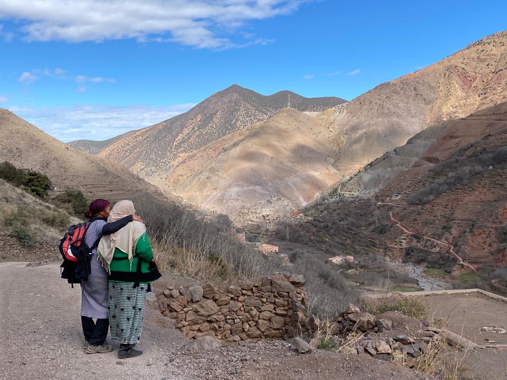
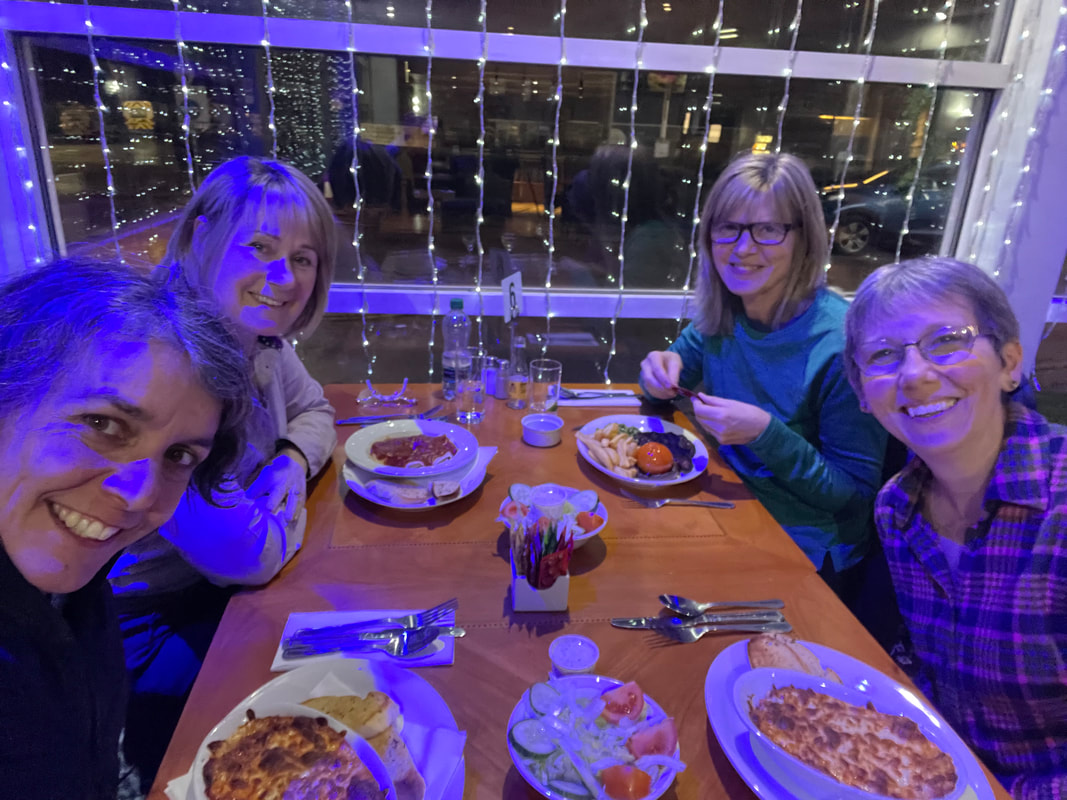
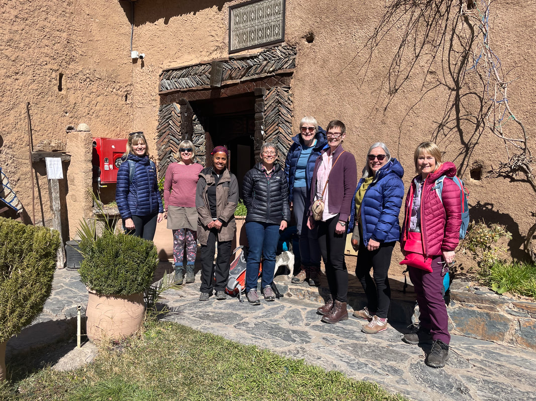
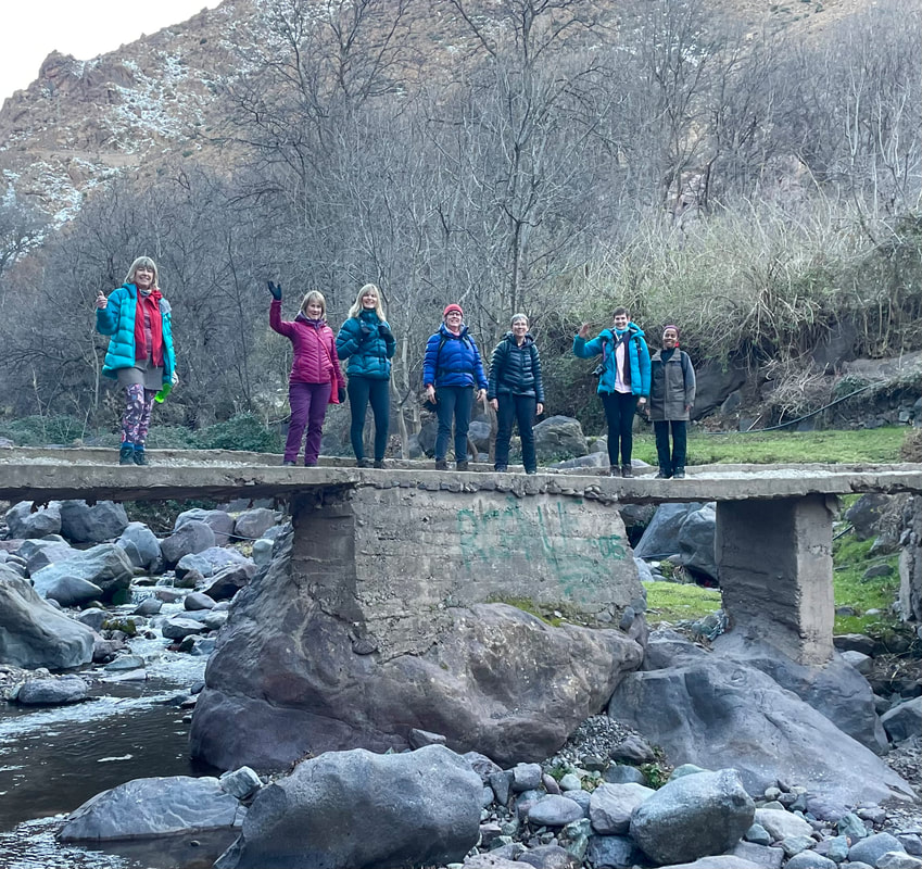
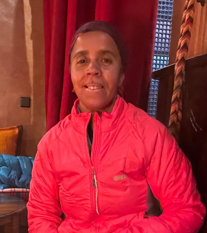
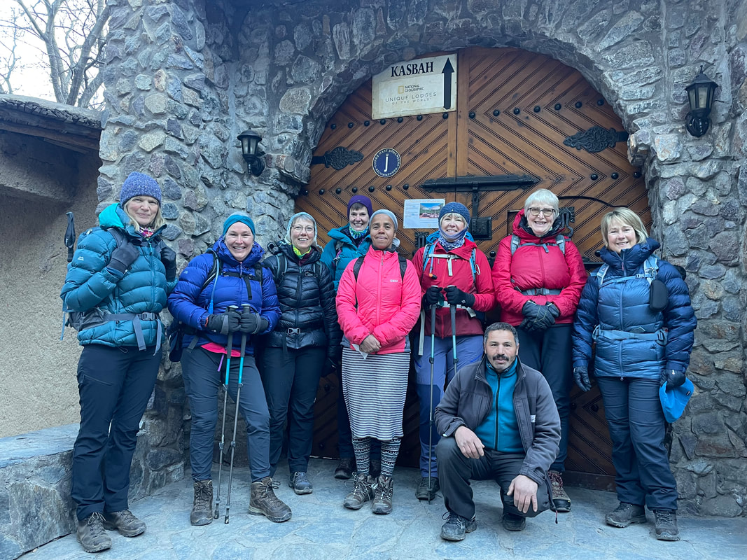
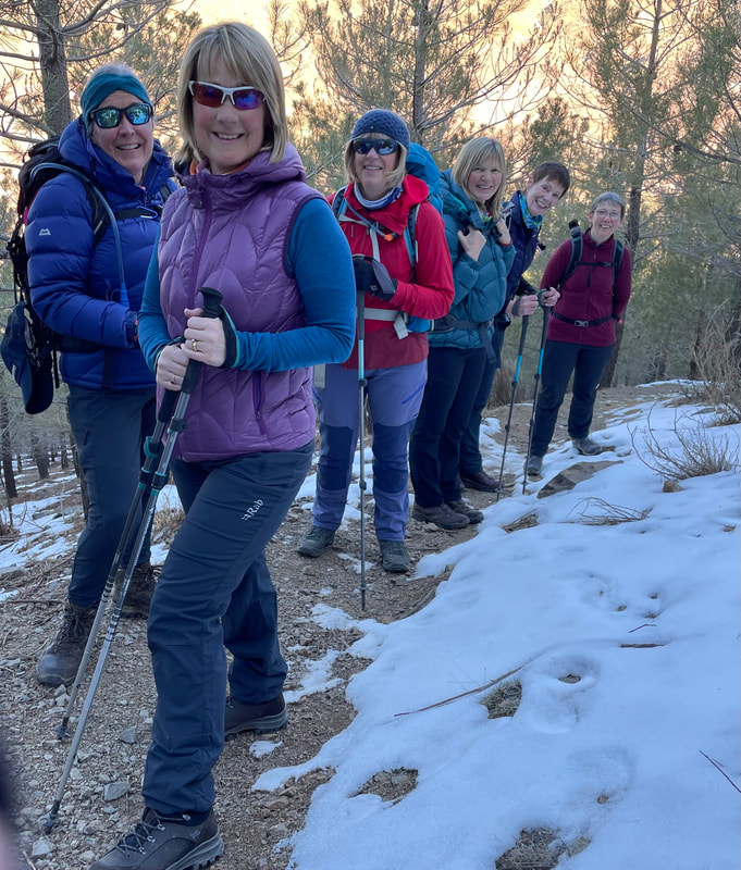
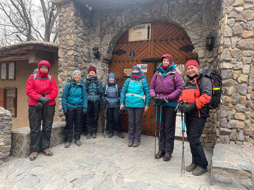
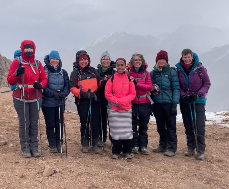
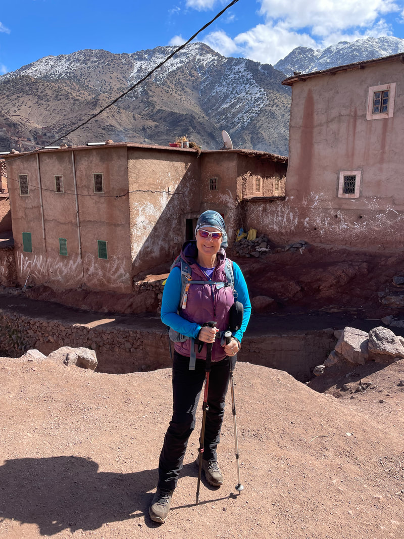
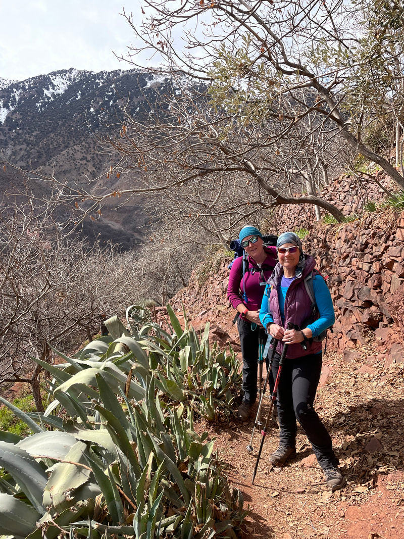
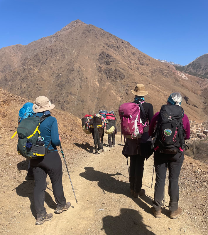
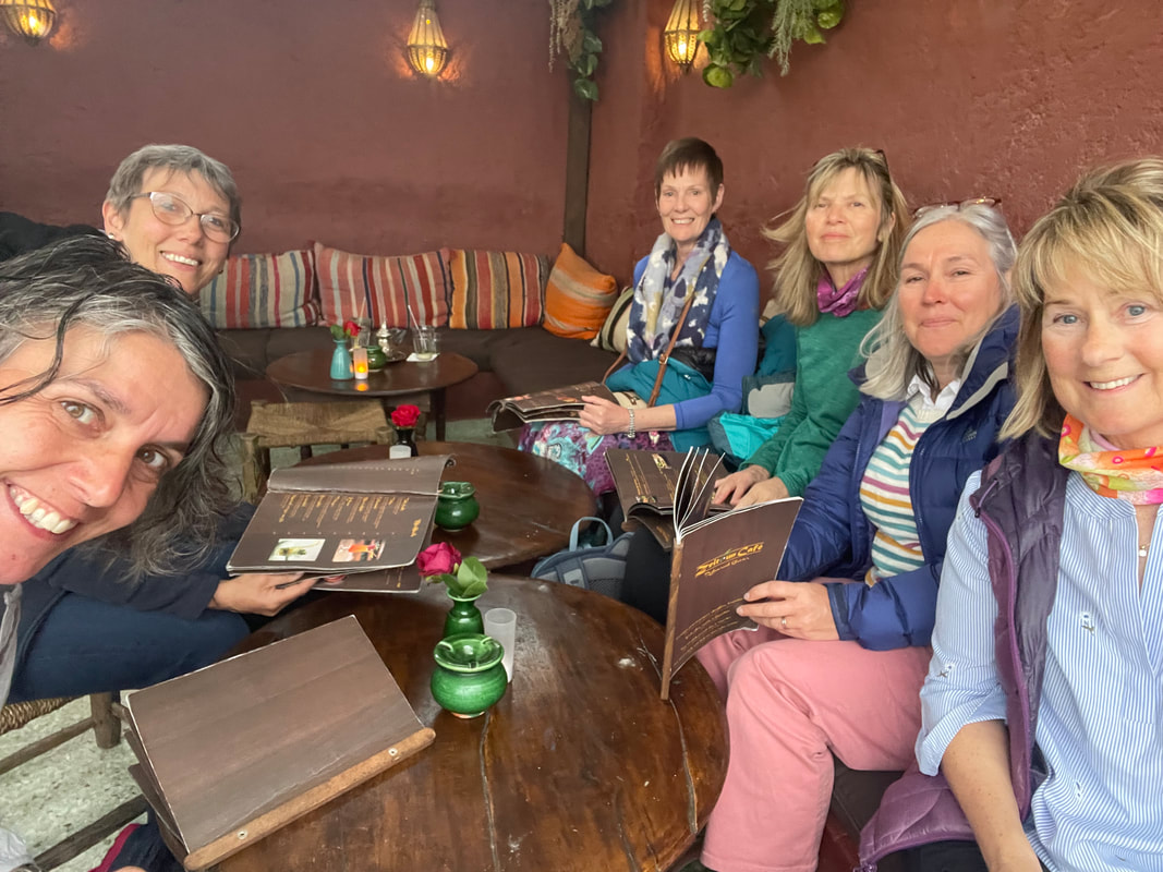
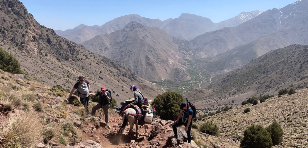
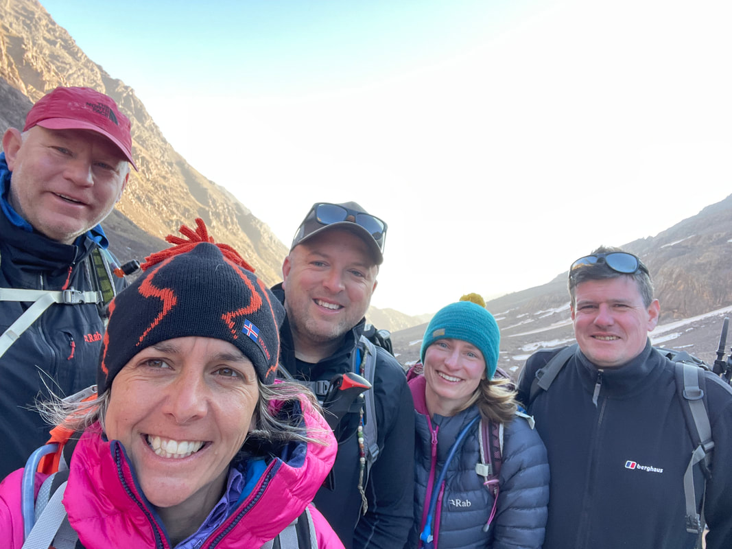
 I was excited to lead the first overseas trip for Bryn Walking for Women to Morocco last month and what a trip it was. Seven women came on the trip and we were expertly guided by one of only two female guides in the region, Latifa. When I saw her at the airport in Marrakesh I was slightly overcome with emotion - partly at seeing her again as we had become firm friends when I delivered some training in Imlil earlier this year with Alan Ward. Also partly because I realised I had made it to Morocco with my clients for the trip after 2.5 years in the making and holding strong after several cancellations due to covid. The group: Val, Anabel, Jayne, Wendy, Heather, Sue and Janet all have plenty of trekking experience between them but it was the first time in Morocco for some and first time trekking abroad for others, and some only having been up to 1085m (Snowdon) - we would be trekking up to 2500m. 
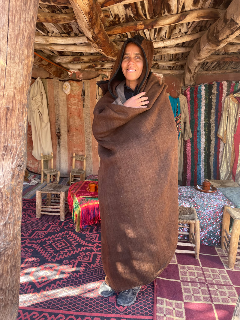
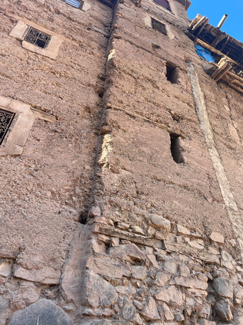
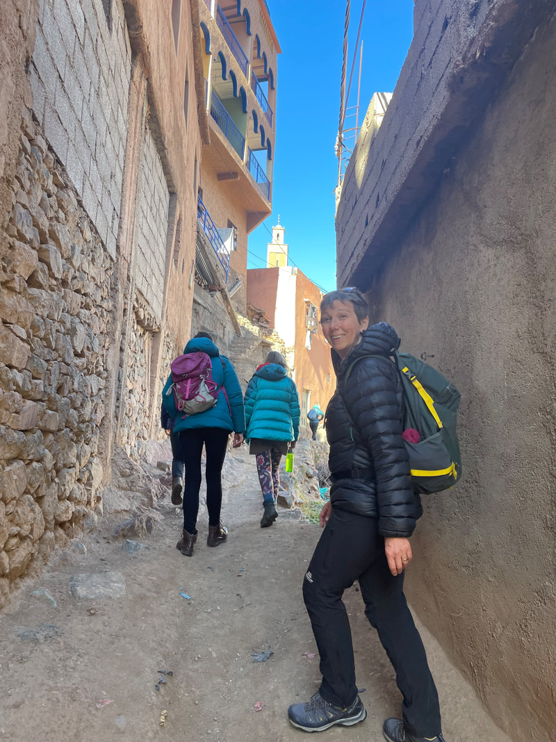
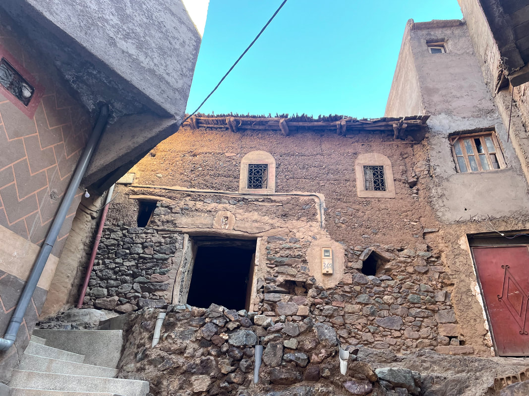
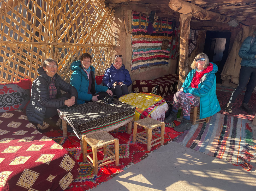
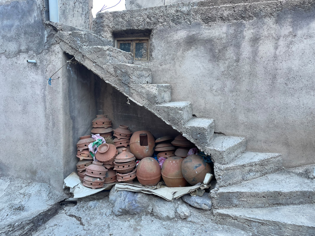
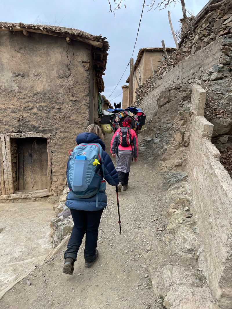
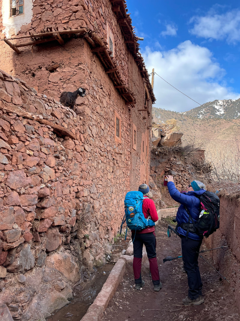
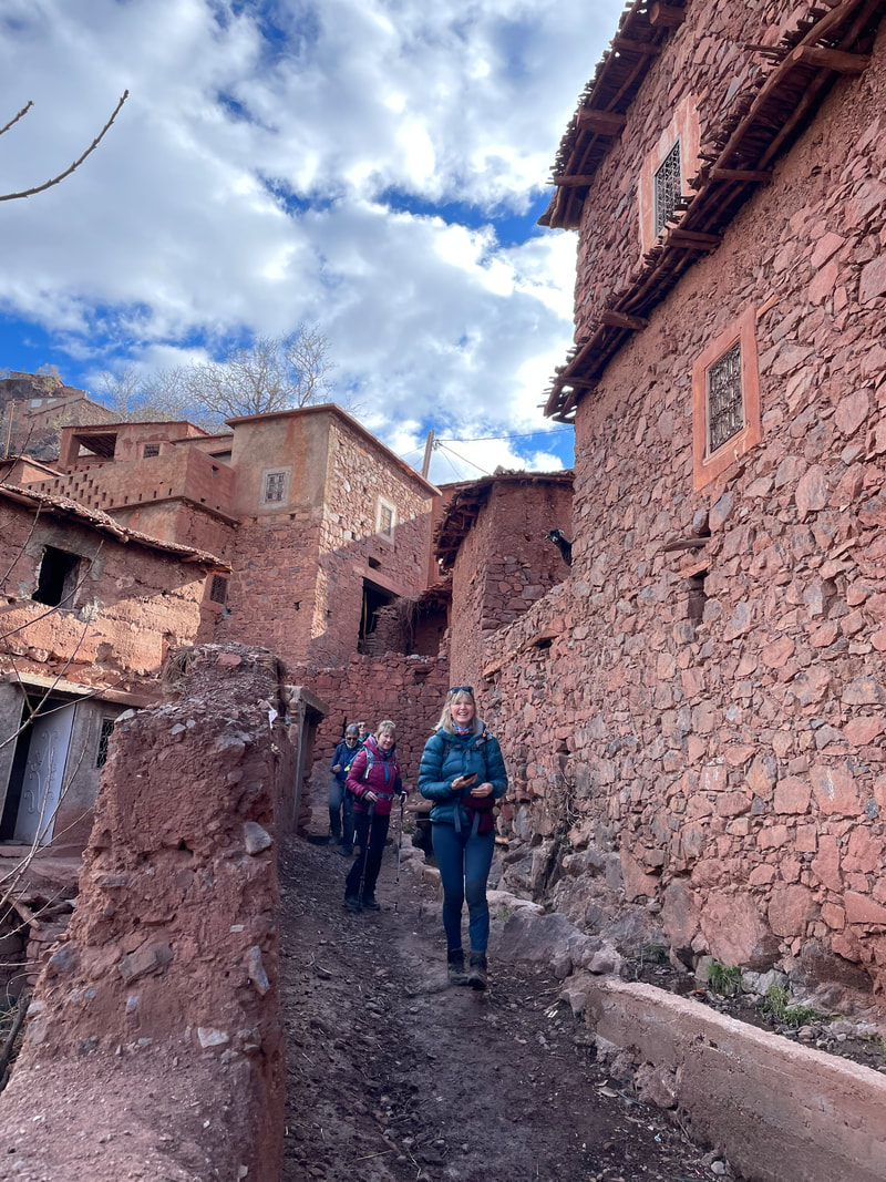
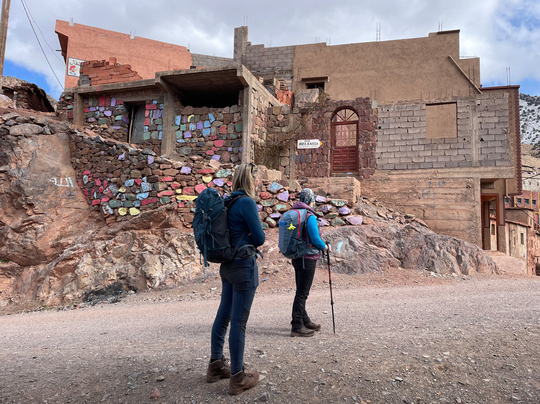
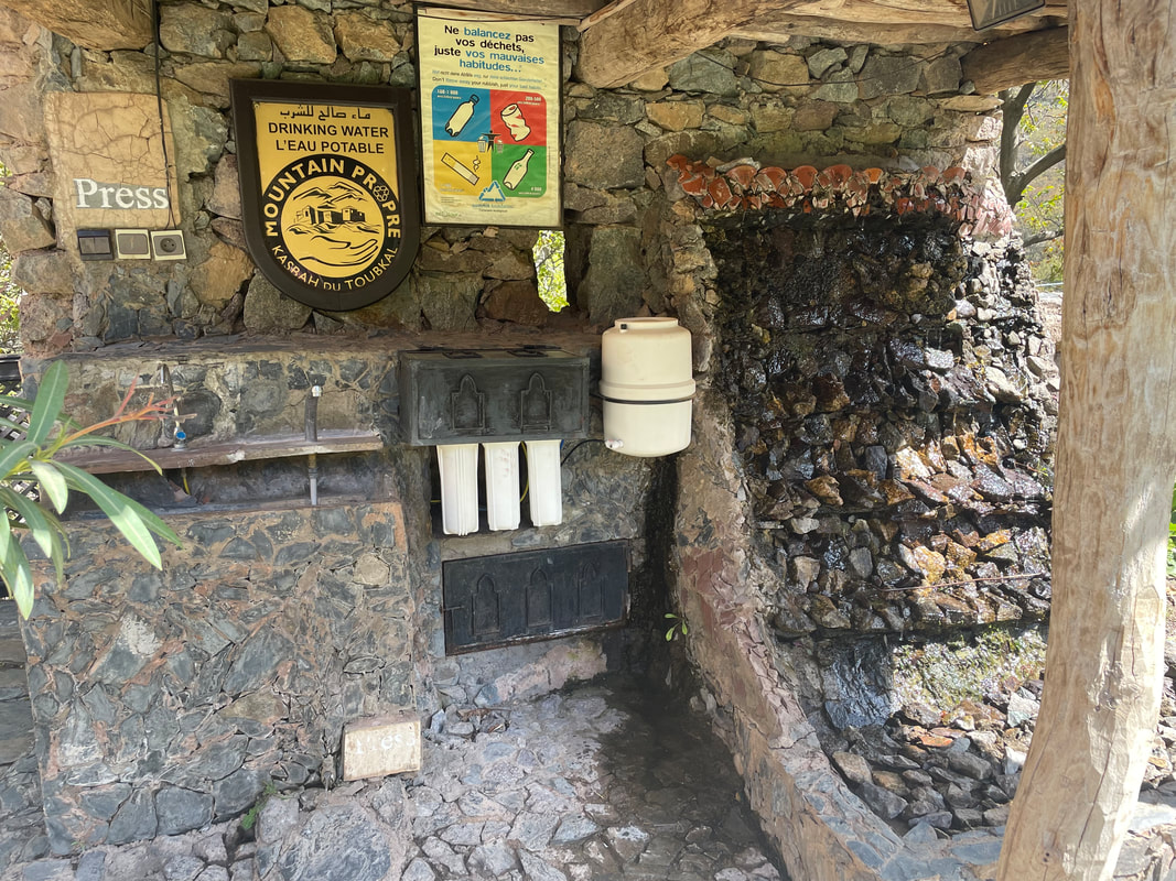
 On our way DAY 1 When we arrived at the Kasbah du Toubkal we had a warm welcome with plenty of mint tea and some local peanut and biscuit mix nibbles. Latifa was keen to show us around Imlil so once we’d had lunch on the rooftop terrace we had a tour a neighbouring village Arhrene. We came across a really old house which was a great example of how the village’s houses used to be. Before we knew it the female owners had invited us in to look at the old house and we were sat on their rooftop terrace, next door, discussing the differences in our lives. The majority of Berber women in the Imlil Valley are Muslim and still live a very traditional way of life so they love hearing about our more westernised lifestyle. We all found it to be an unexpected and a wonderful authentic opportunity to see how the village women really live. We also felt that it had come about because we had a female guide.
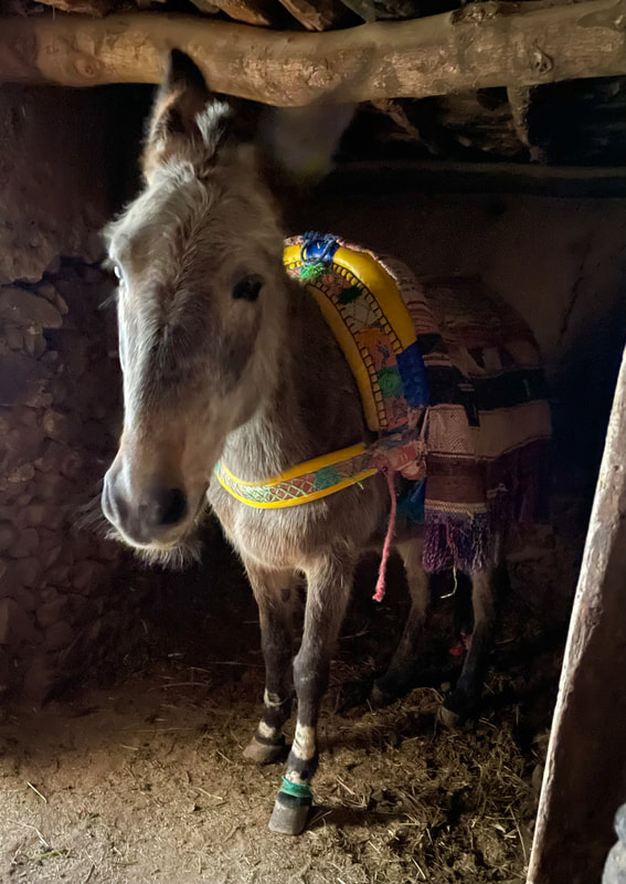
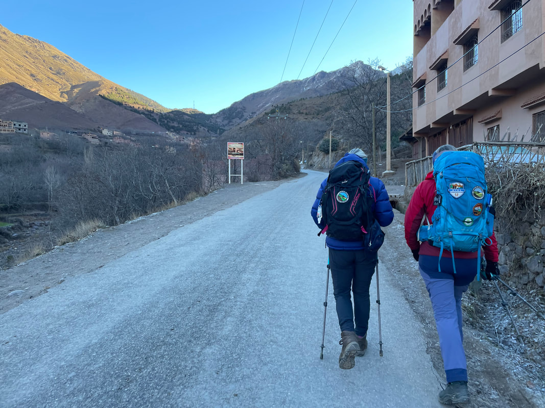
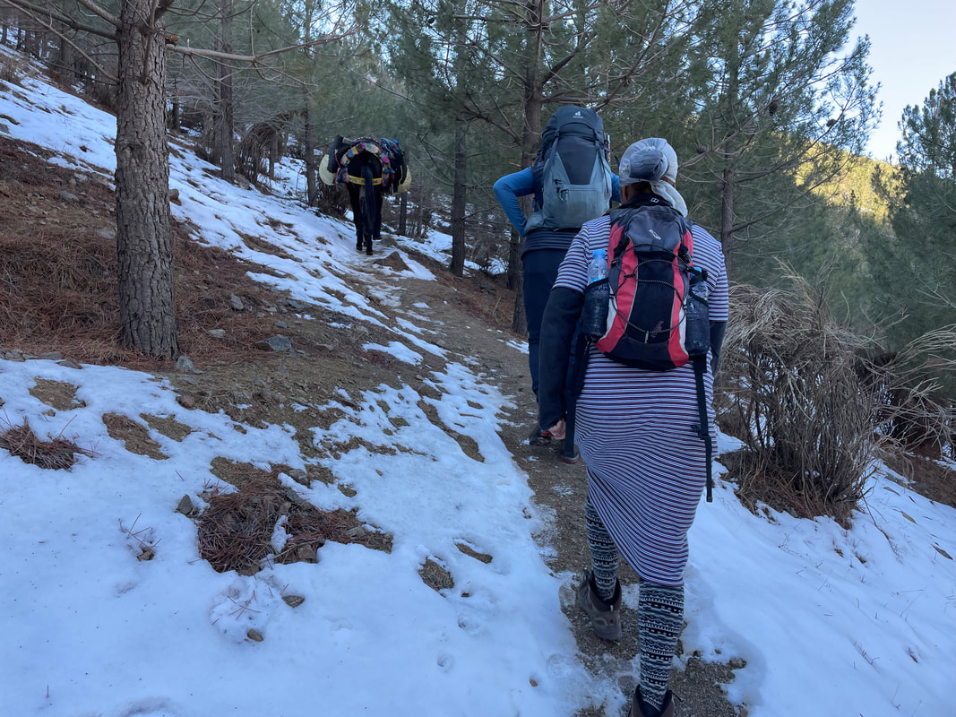
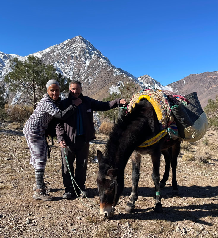
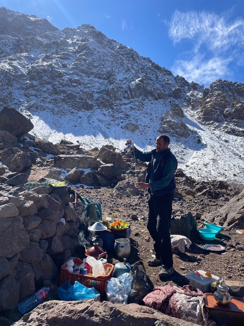
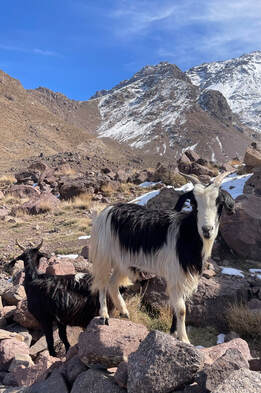
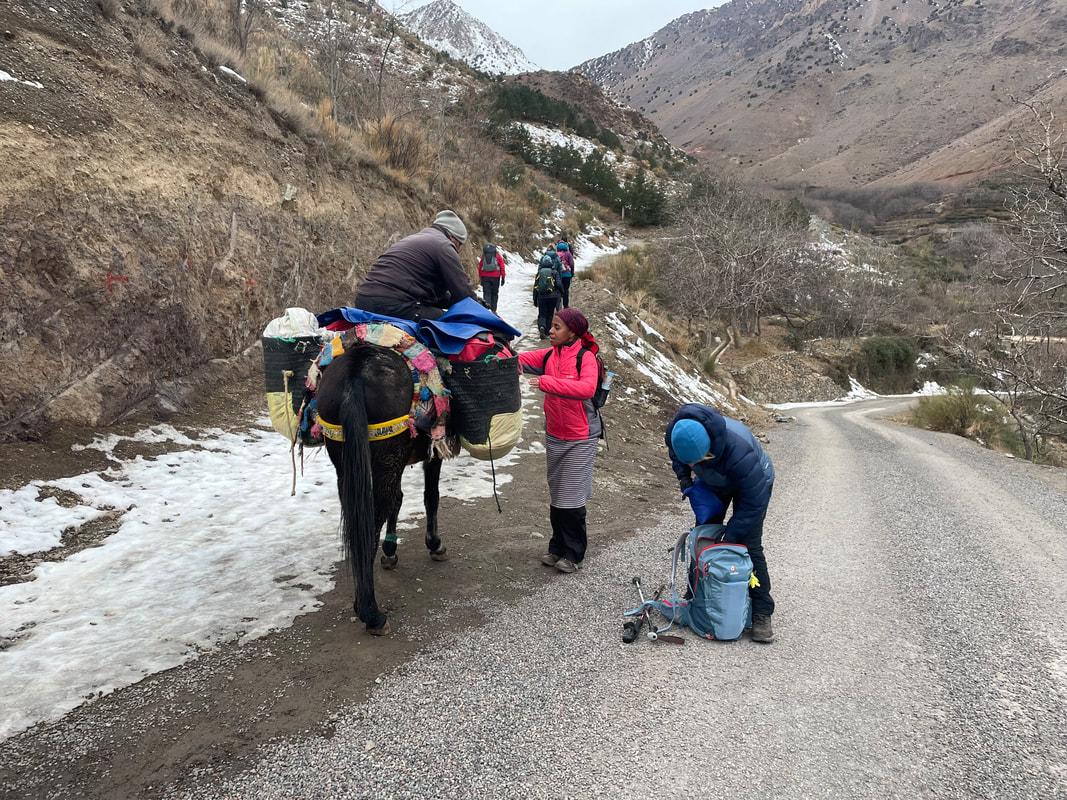
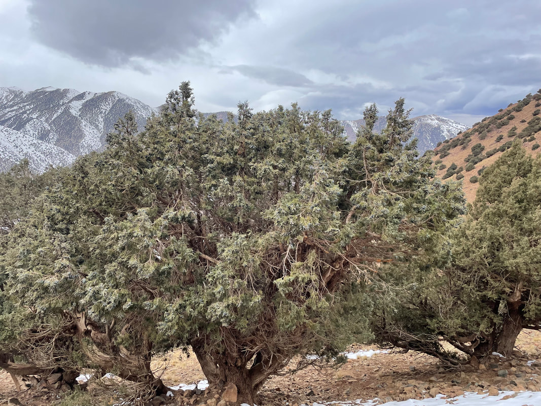
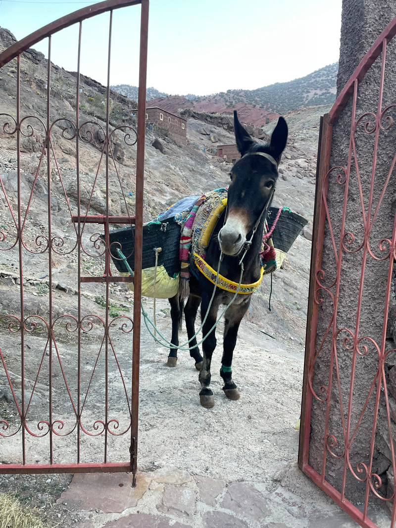
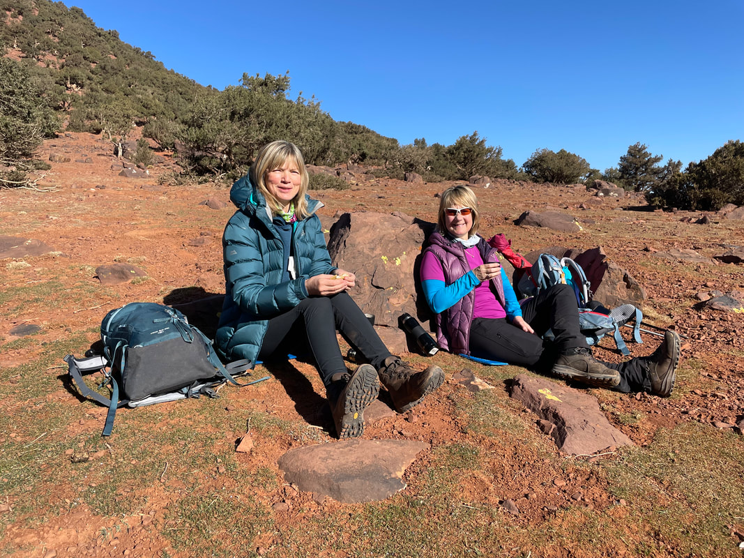
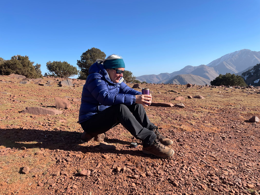
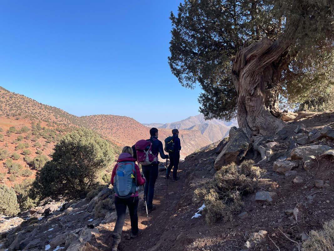
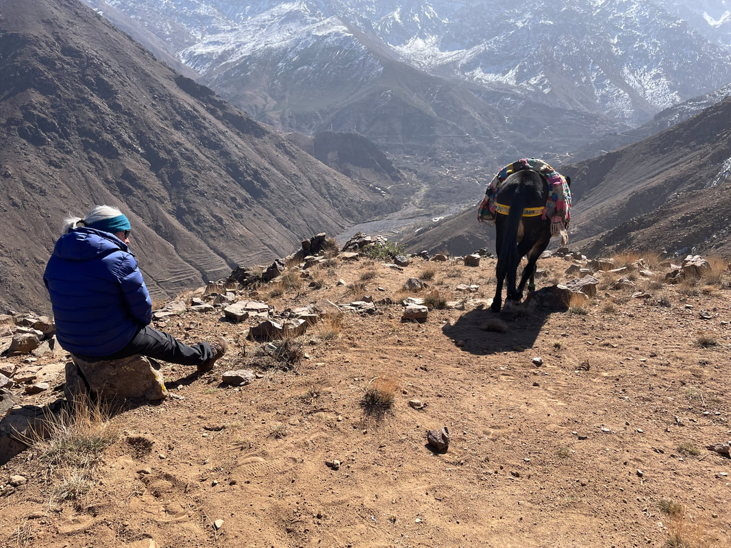
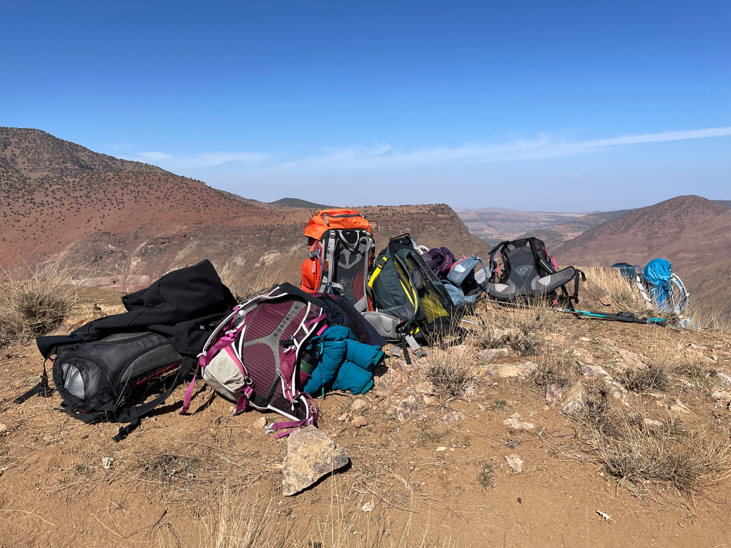
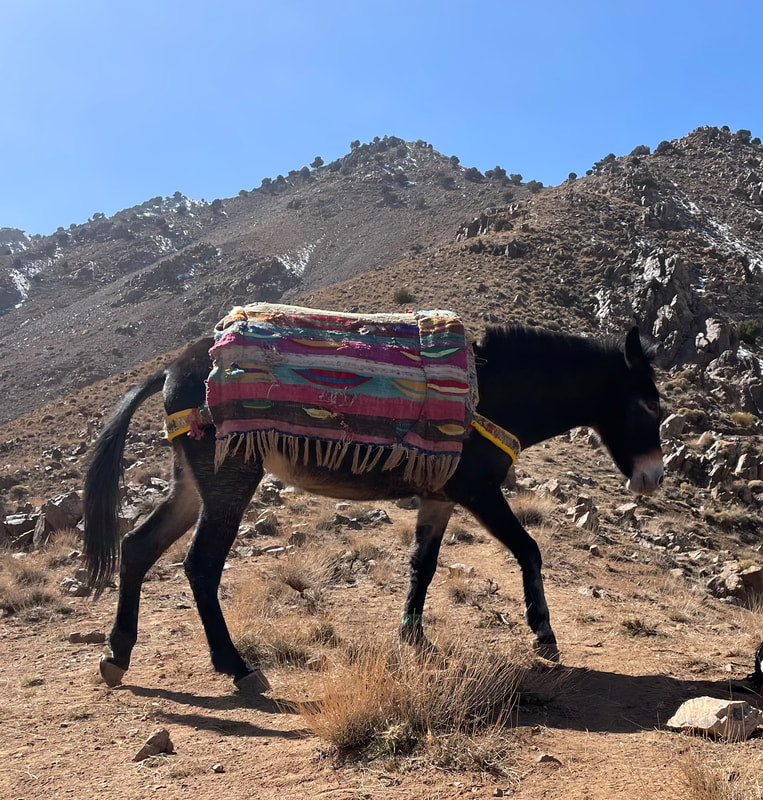
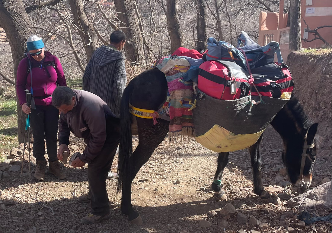
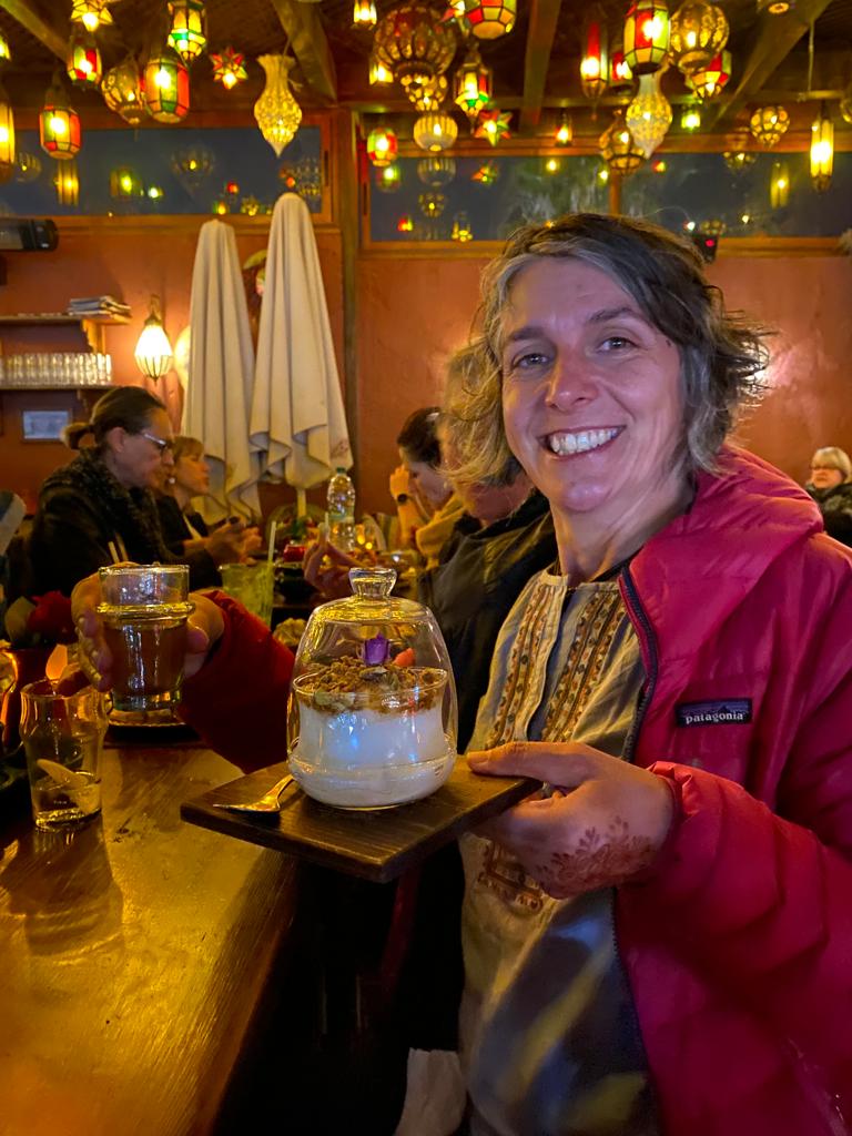
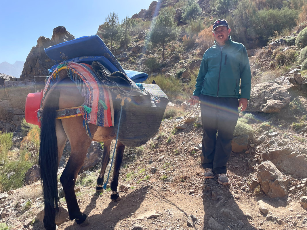
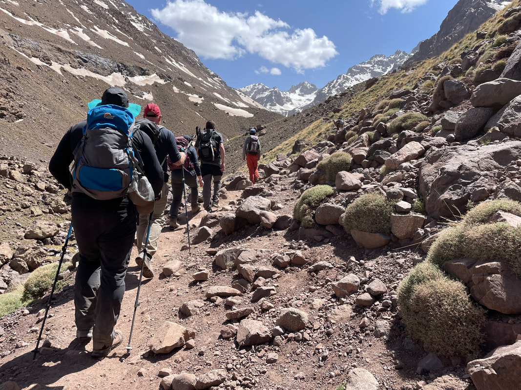
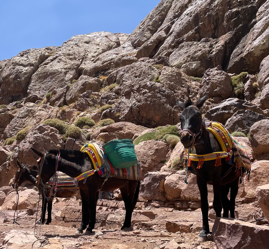
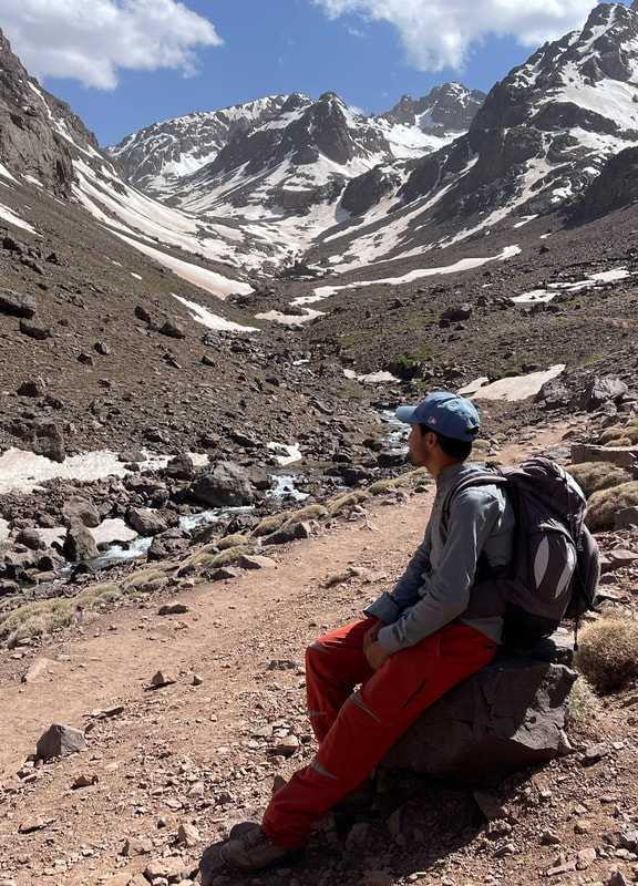
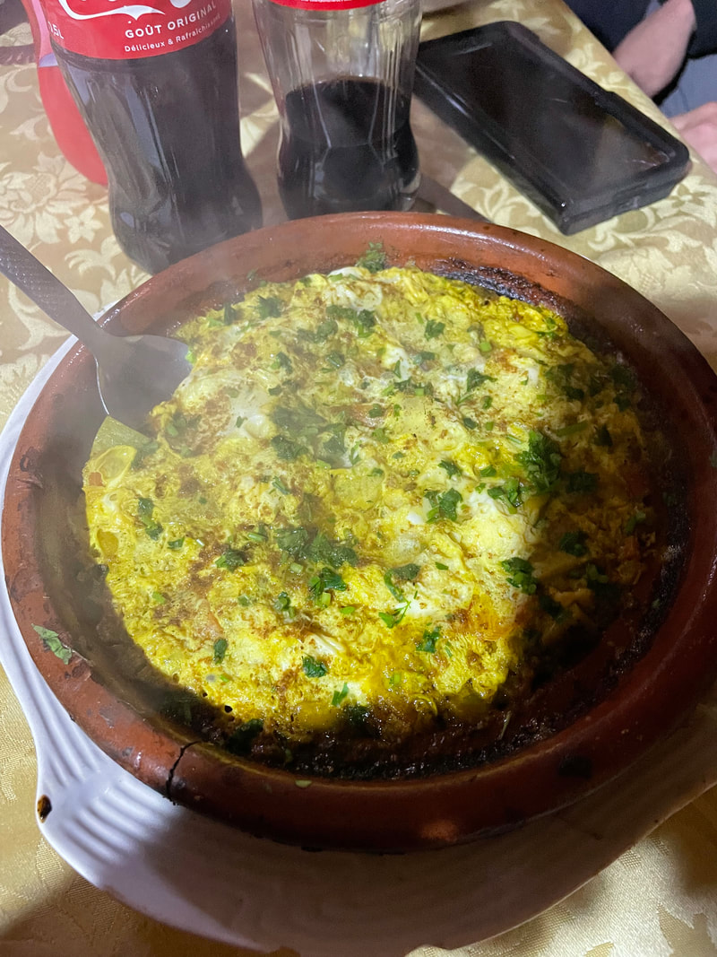
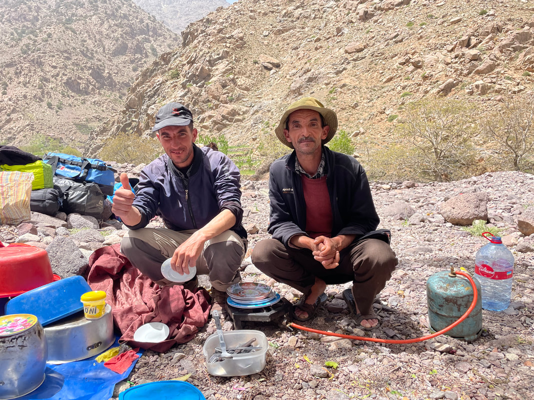
DAY 2 The next day was an introduction to the Atlas Mountains in preparation for our long trek over to the Kasbah’s sister lodge in the next valley. This was an opportunity for us to meet our mule man Lhussein and enjoy a lovely mountain top lunch, illustrating just what our lovely travelling chef Mohammed could conjure up. A day spent amongst juniper trees and great open vistas. On return to the Kasbah some of us chose to walk into Imlil to support the local businesses. I had promised one particular shop owner, Ibrahim, in January that I would return with a group to look at his wares. Before our traditional lamb tagine dinner we all experienced the haman at the Kasbah with Latifa showing us the proper Berber ways to use it - we will never forget! 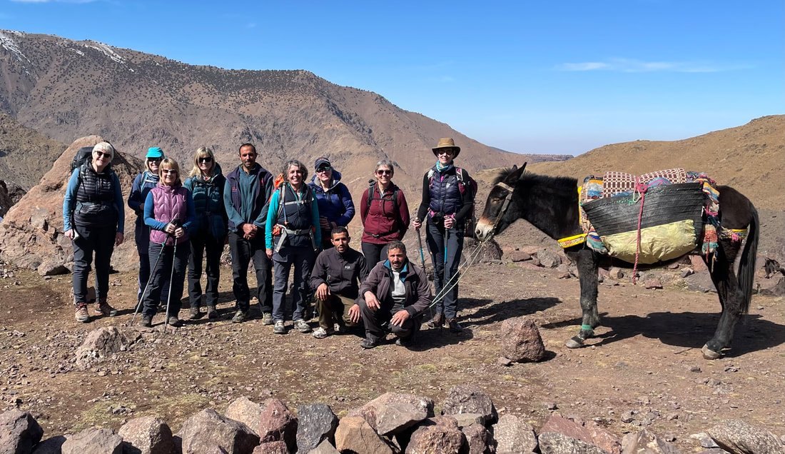
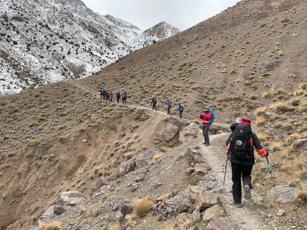
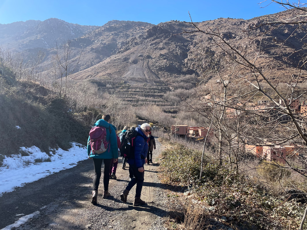
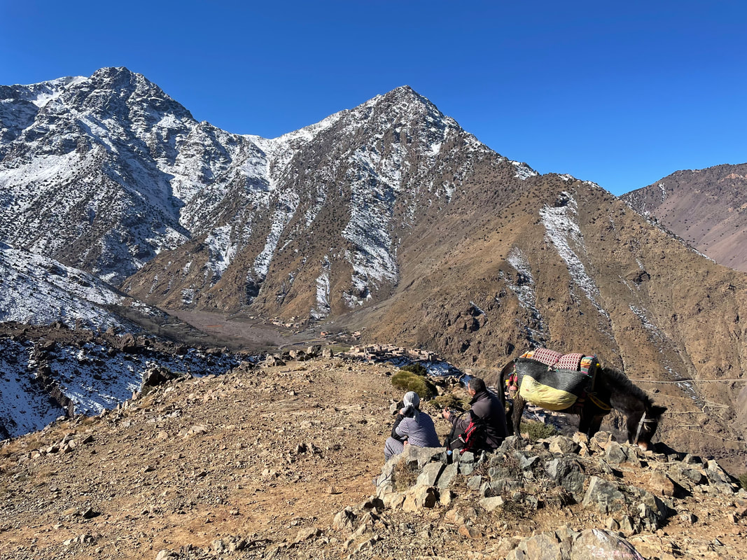
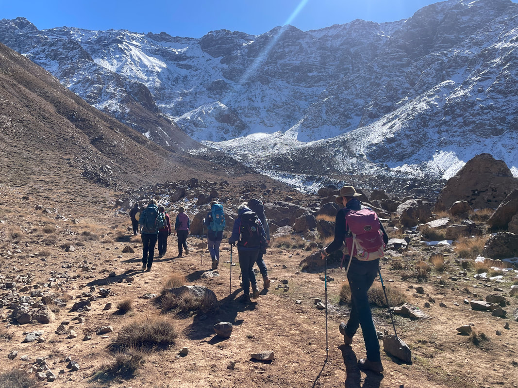
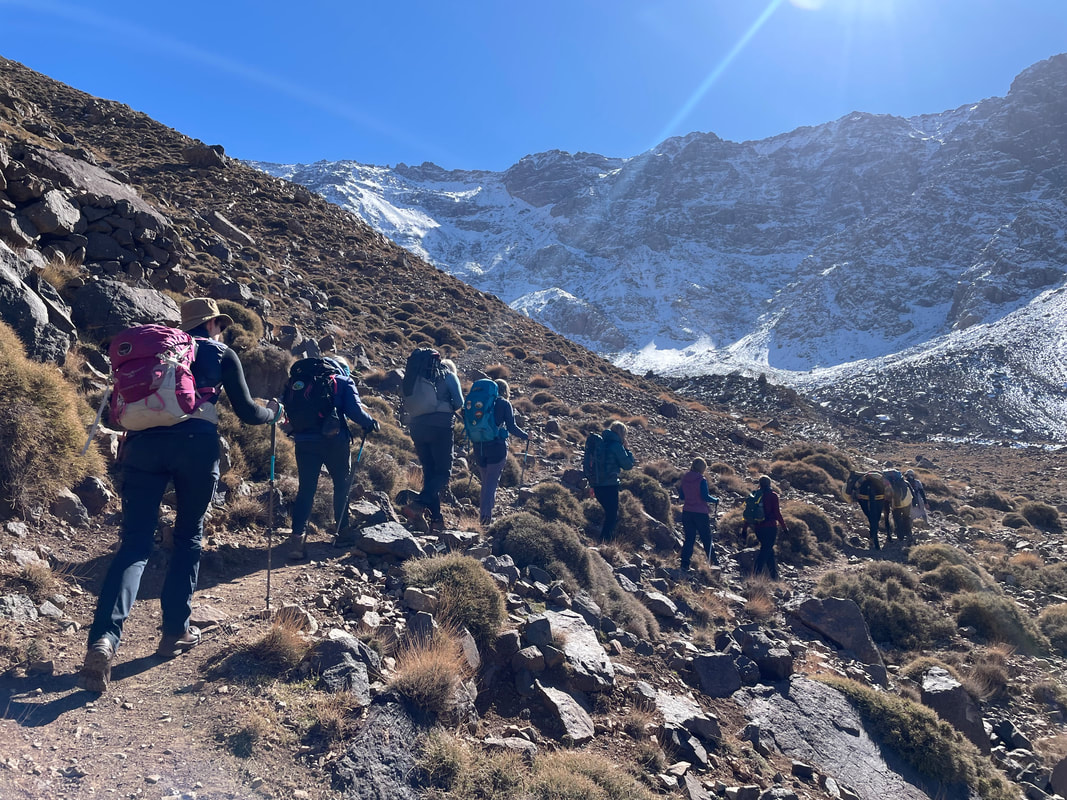
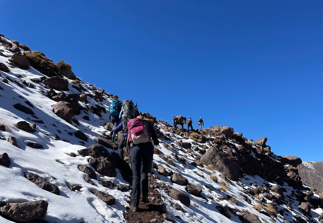
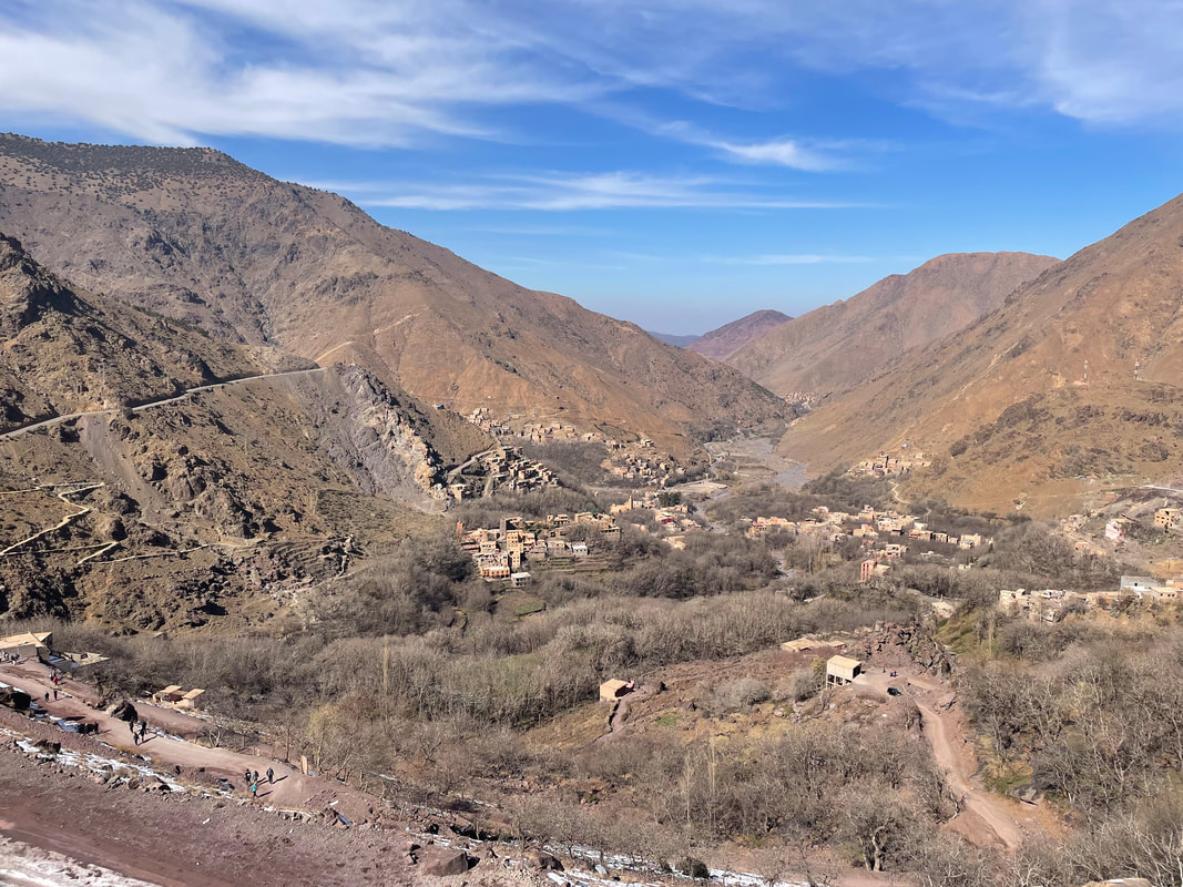
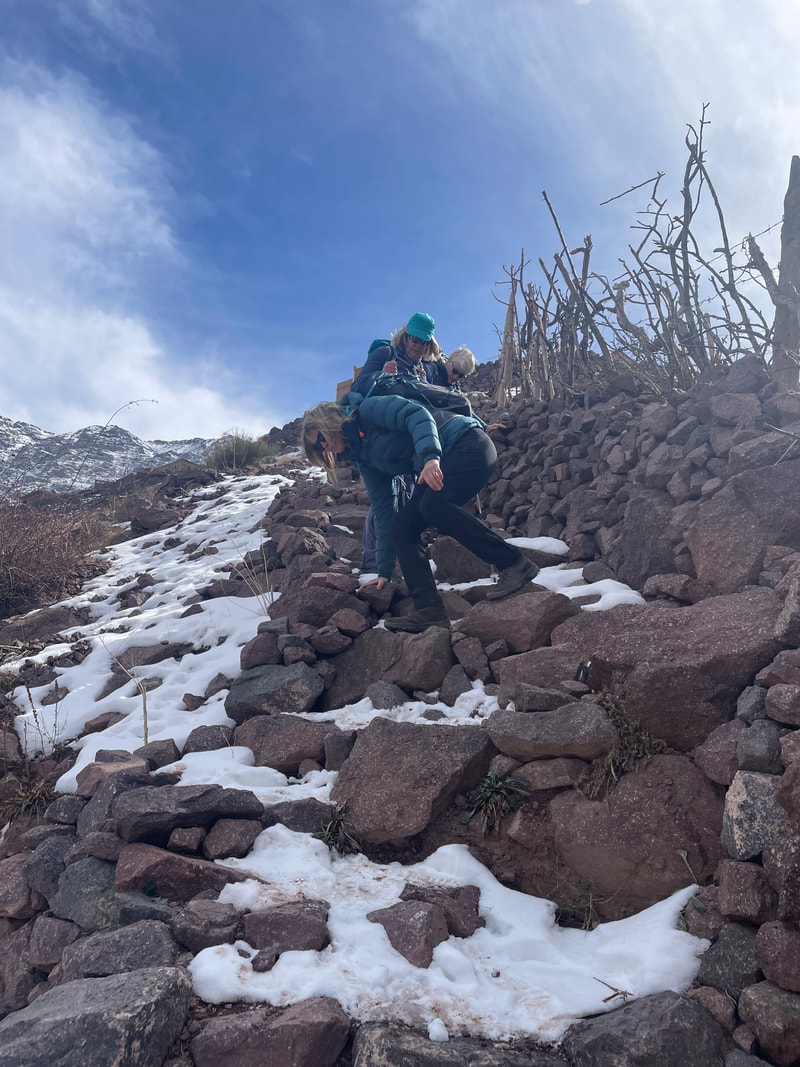
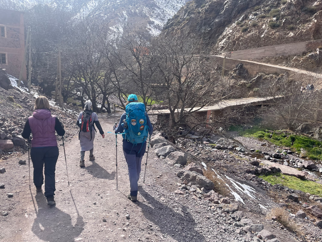
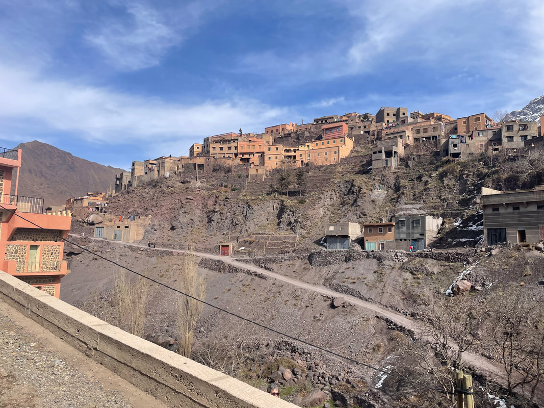
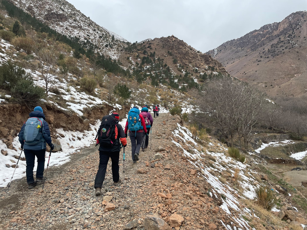
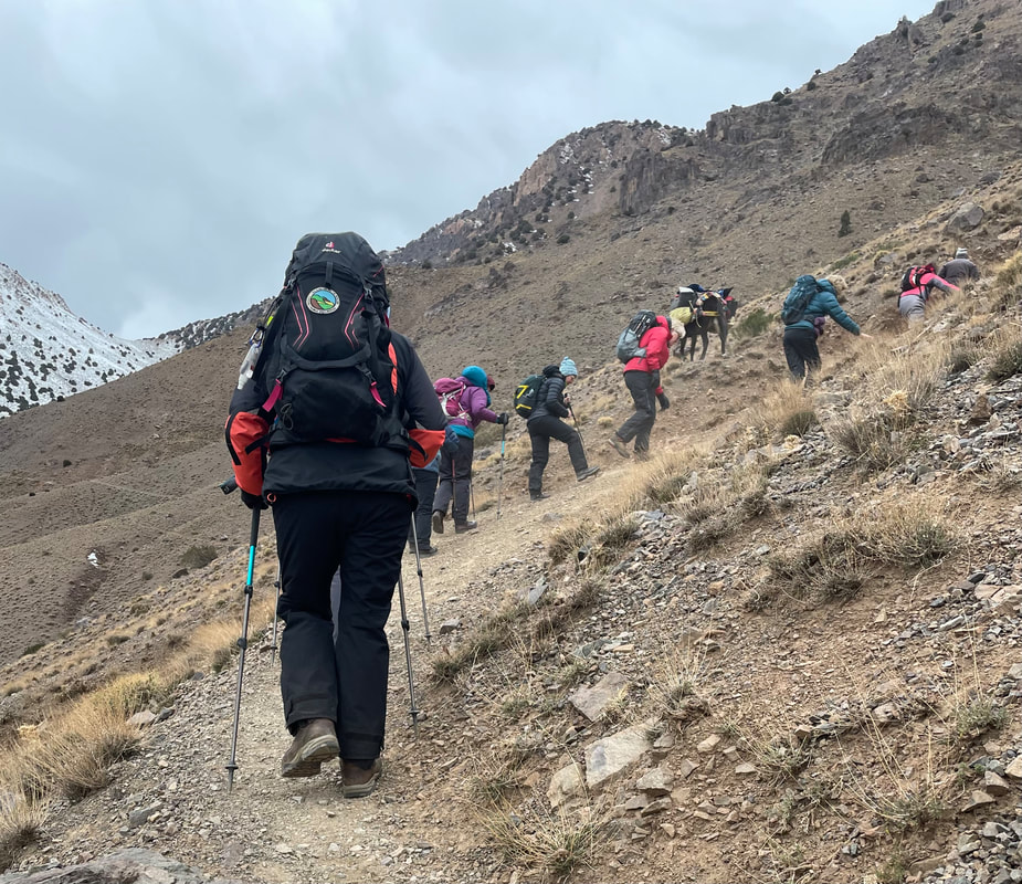
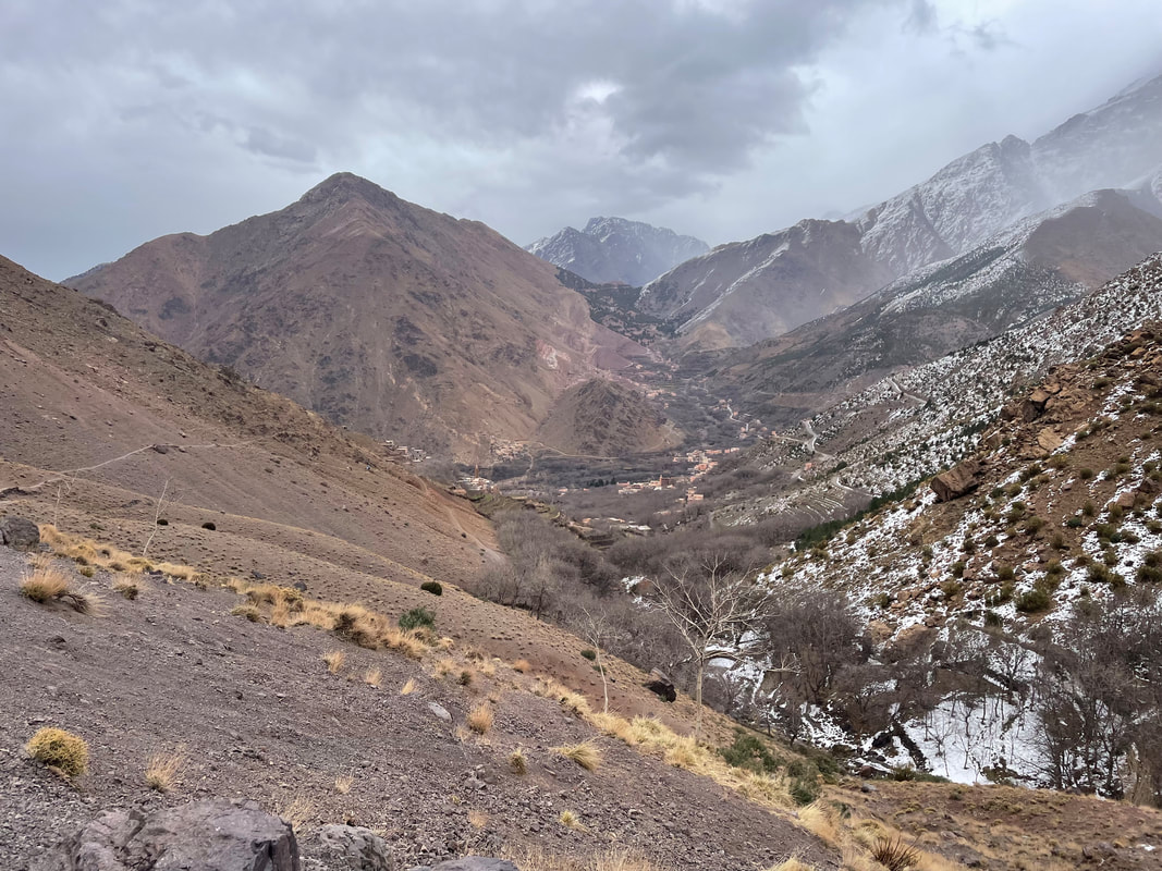
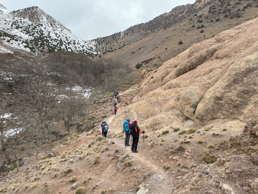
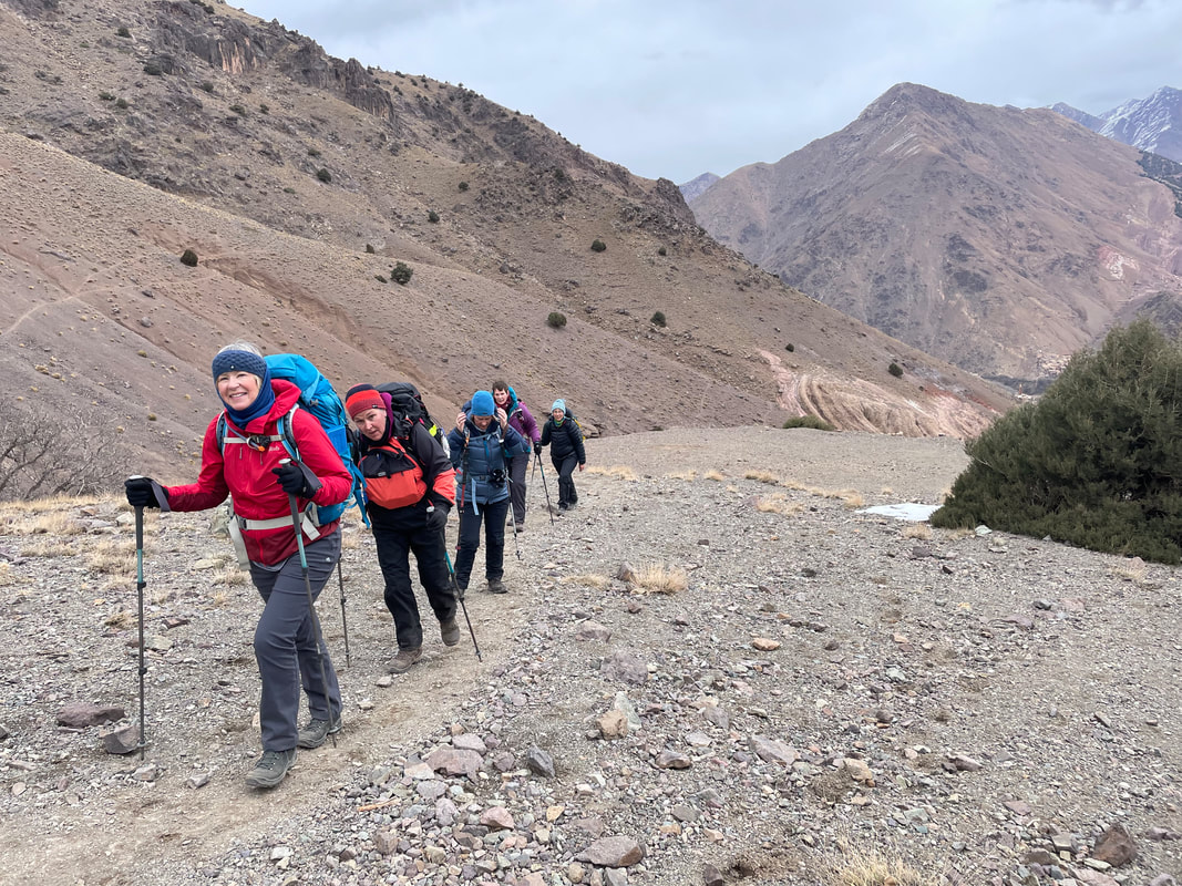
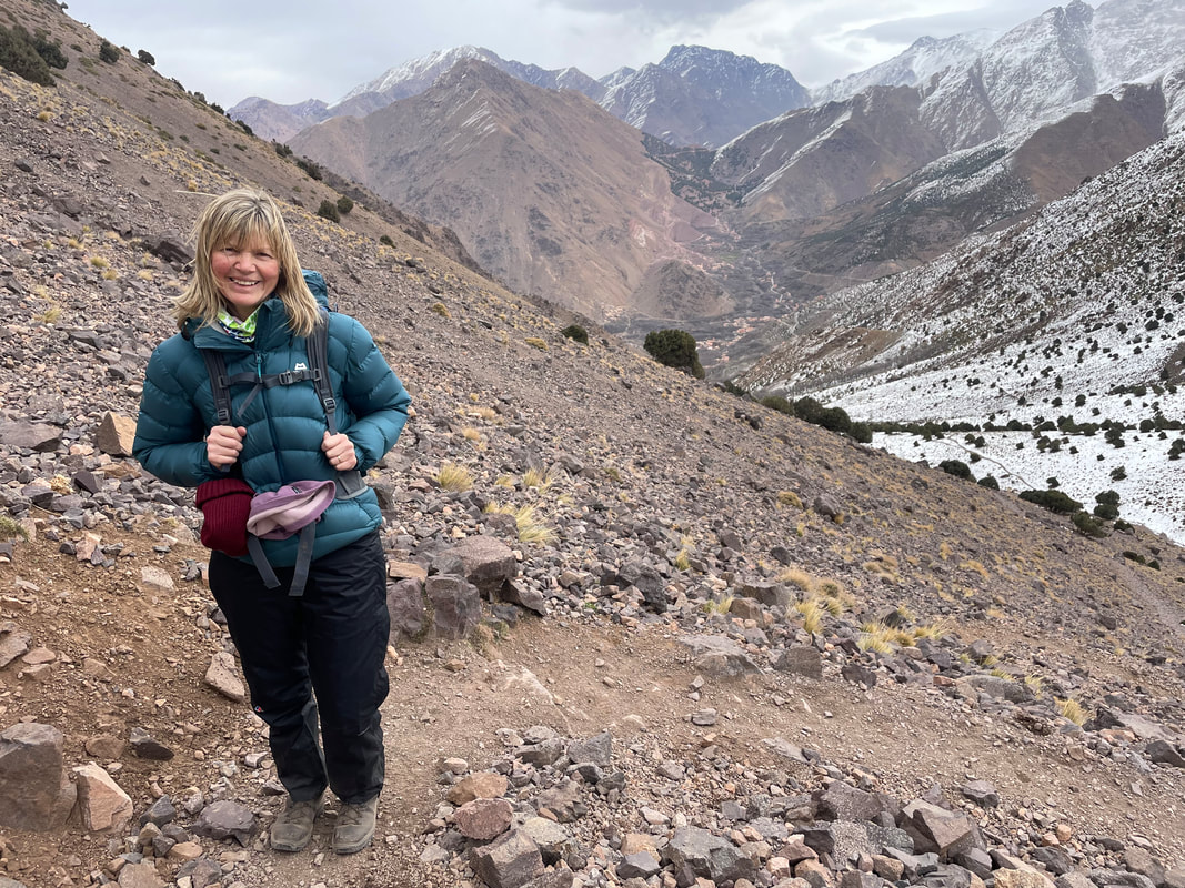
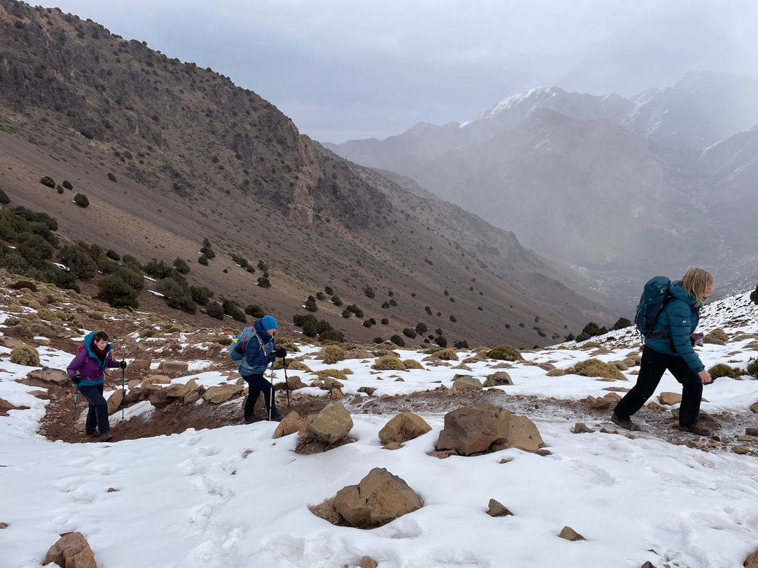
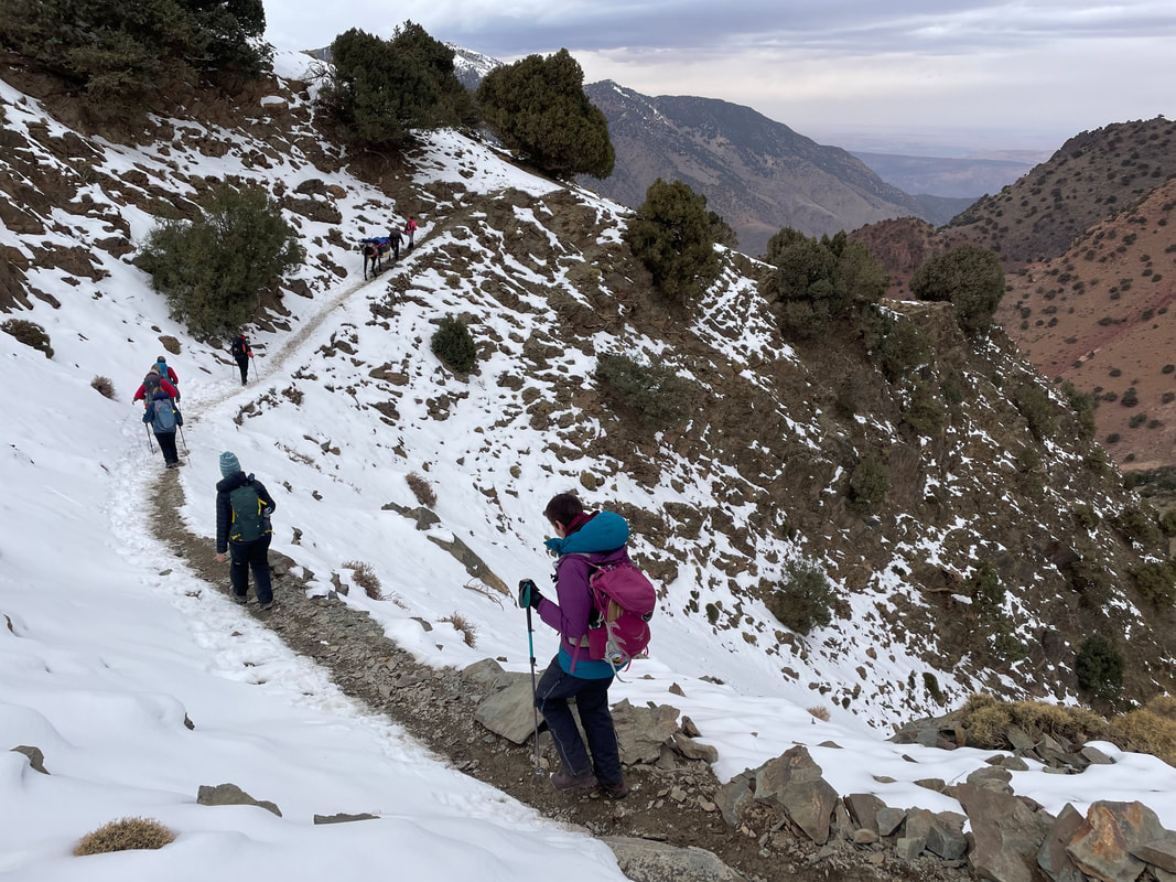
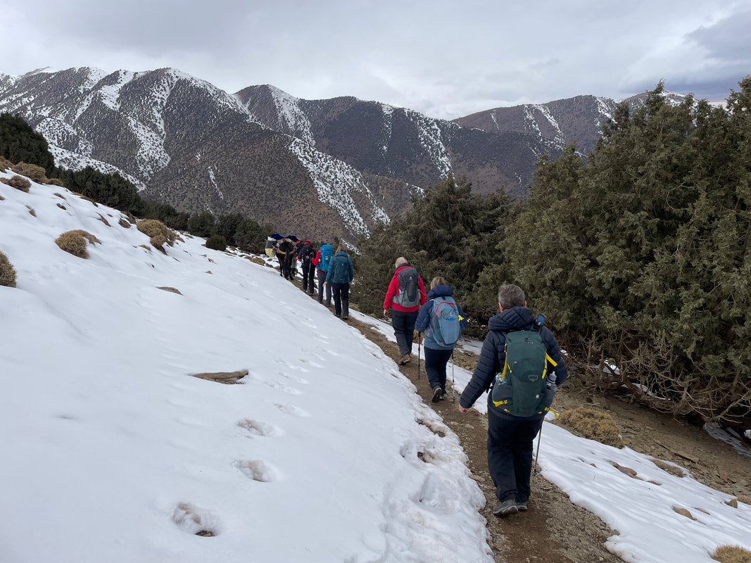
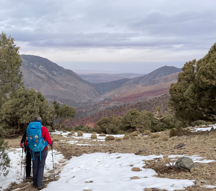
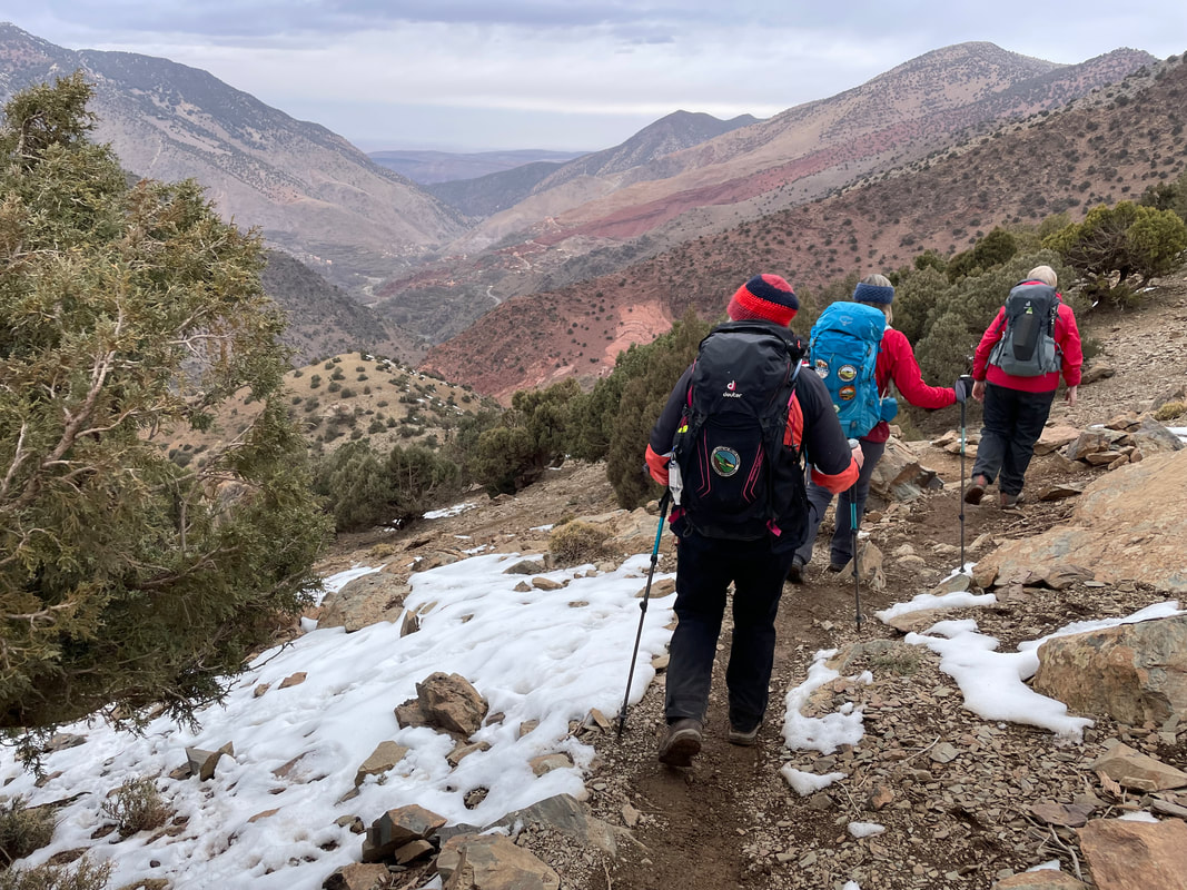
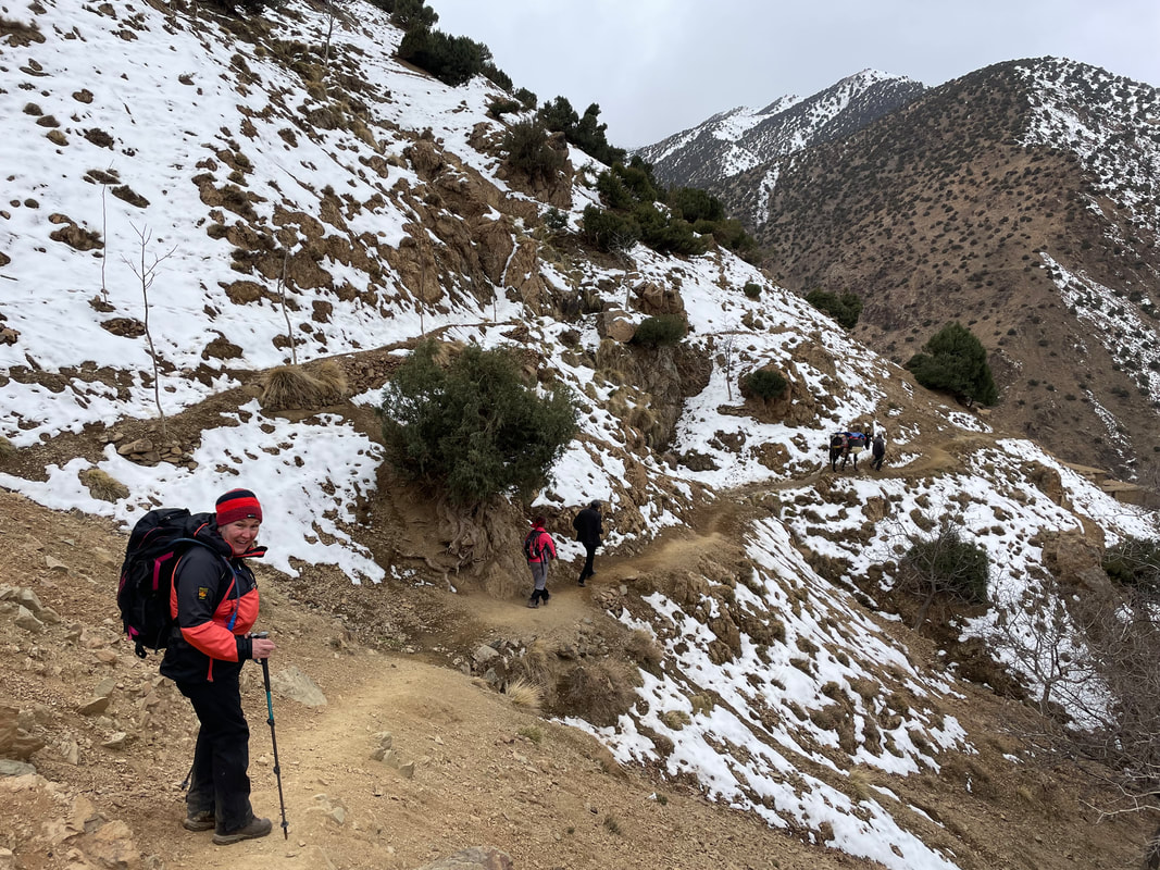
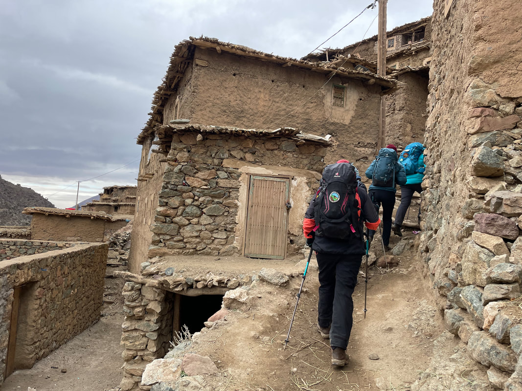
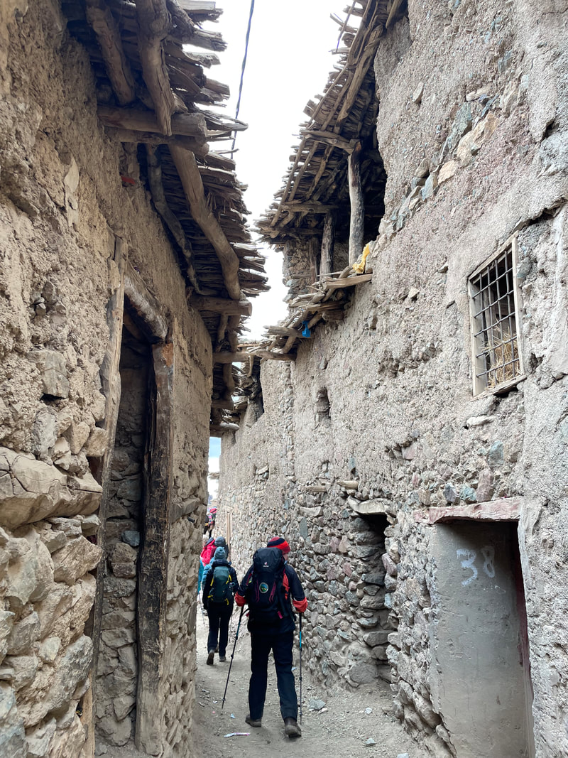
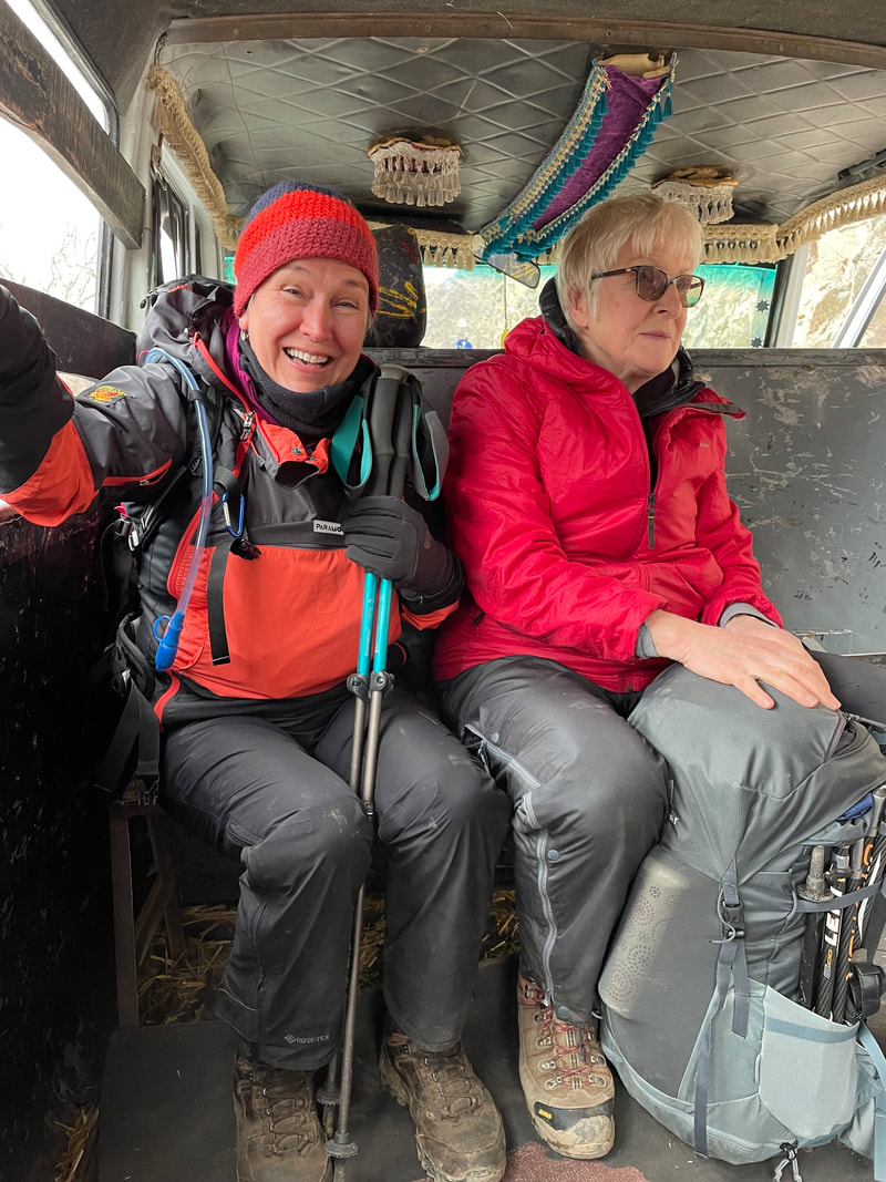
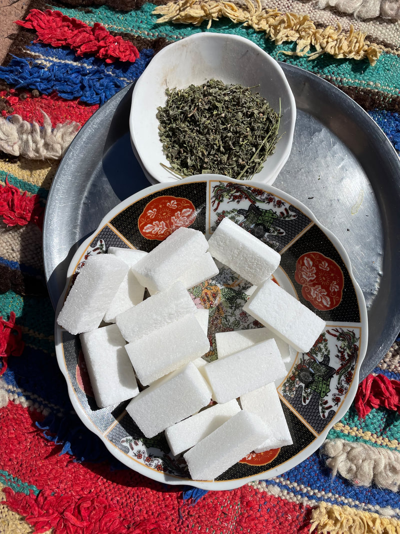
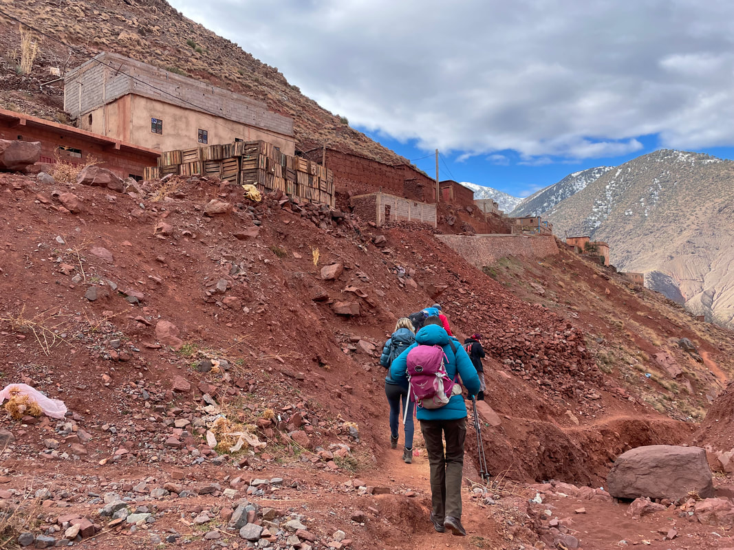
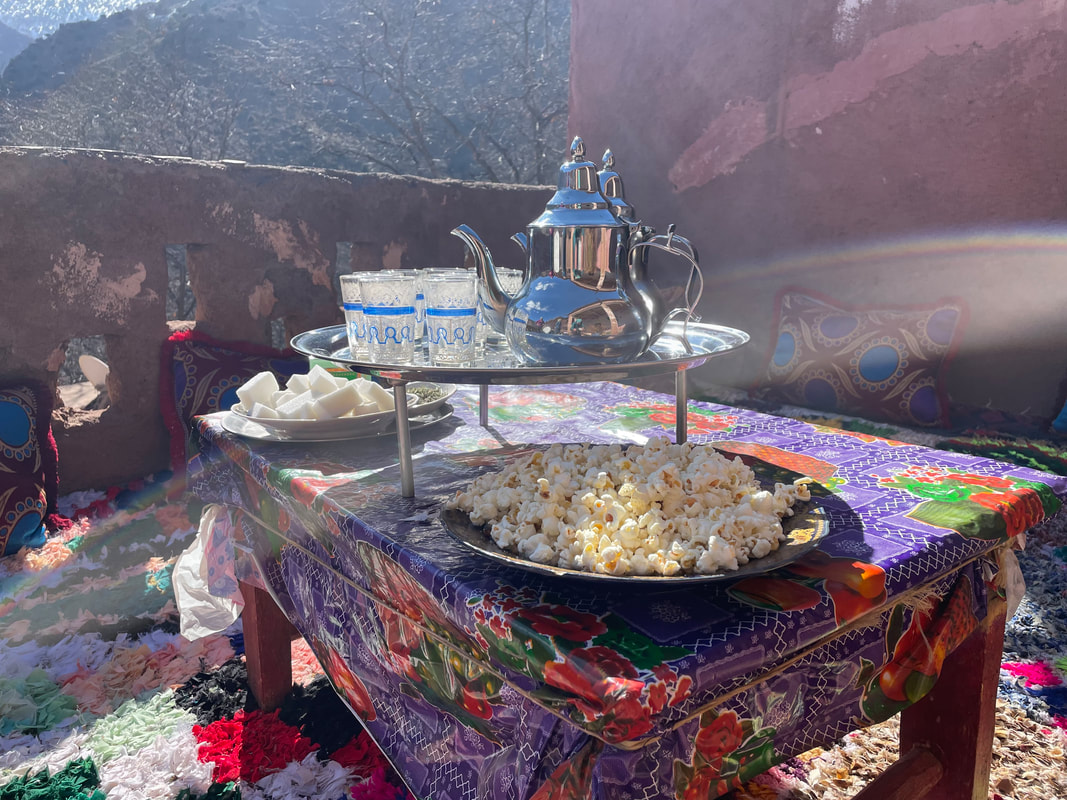
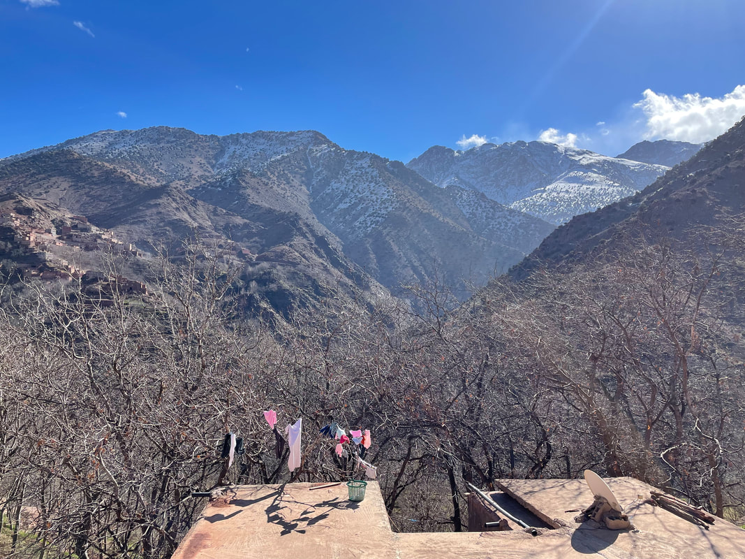
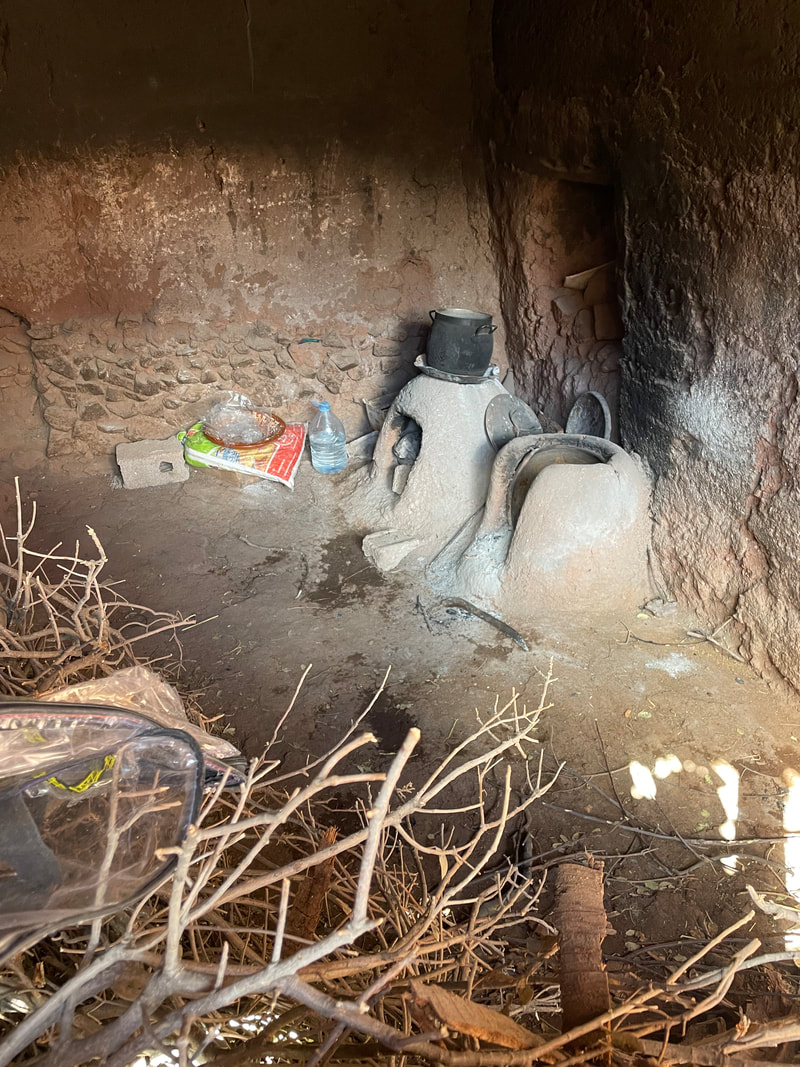
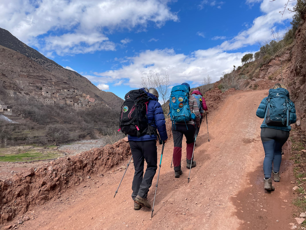
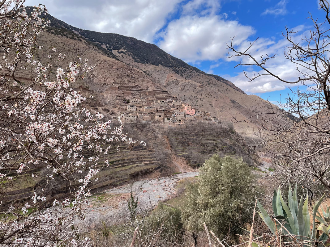
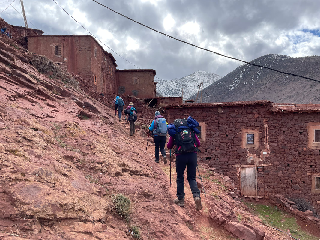
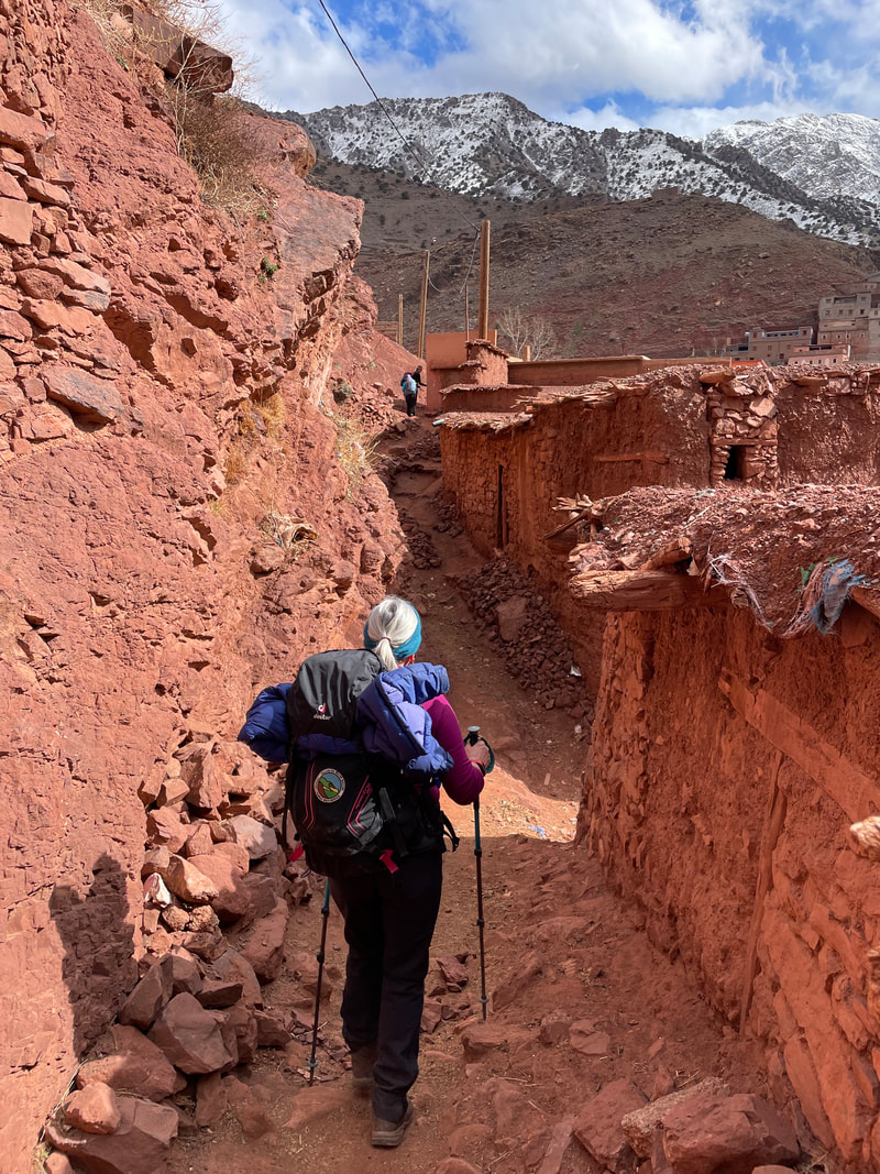
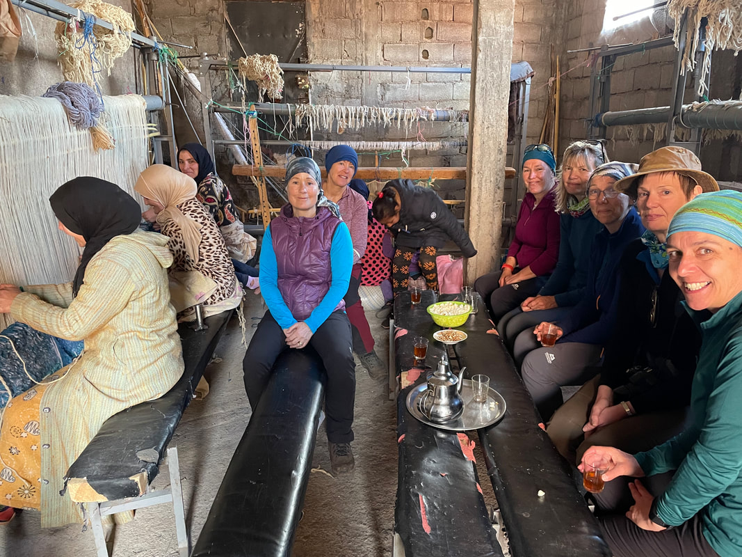
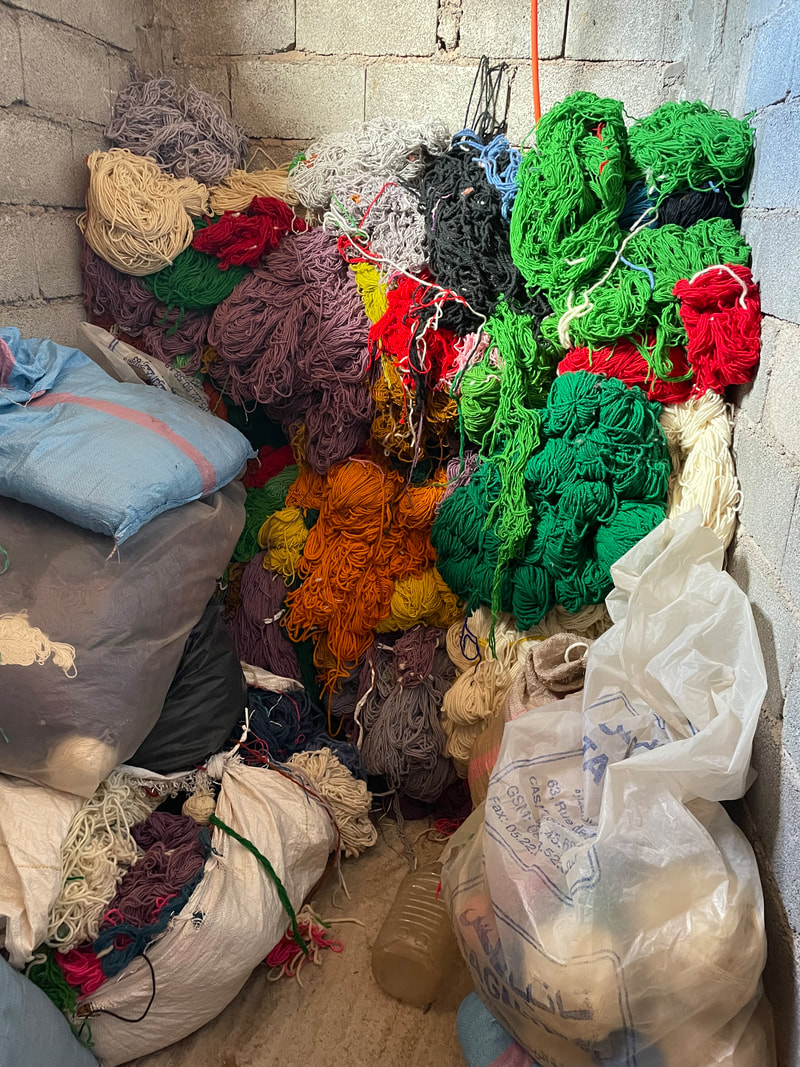
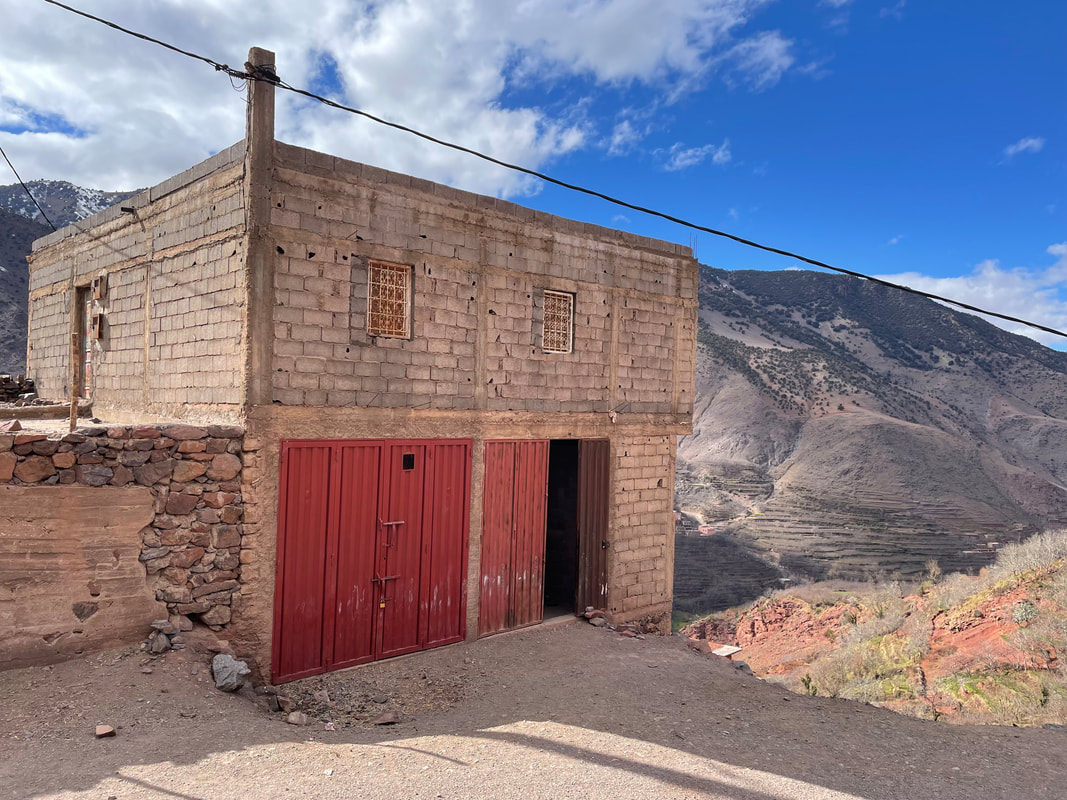
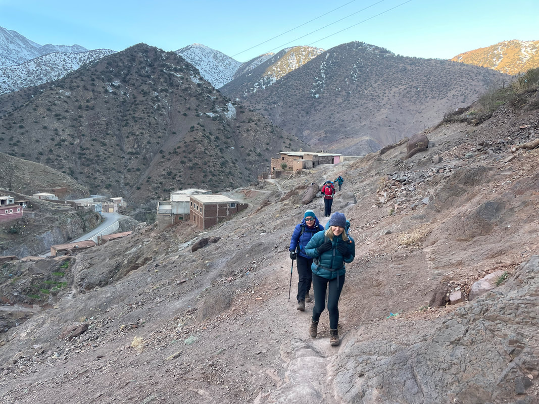
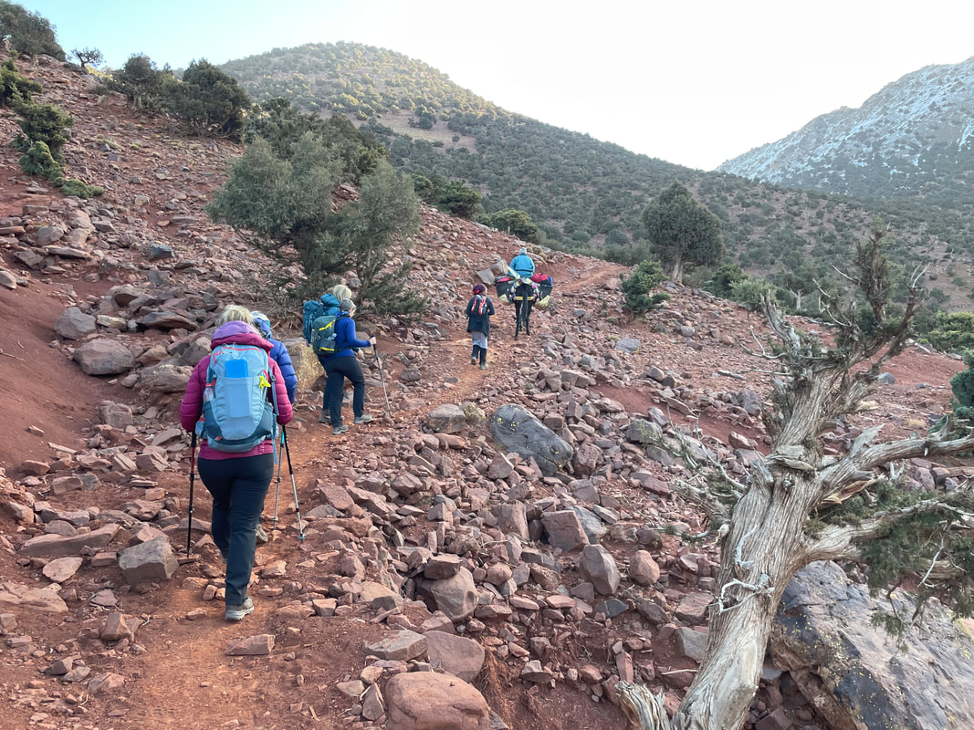
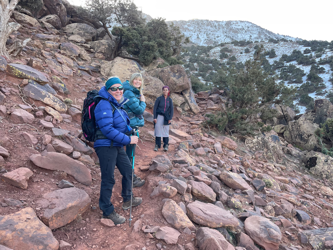
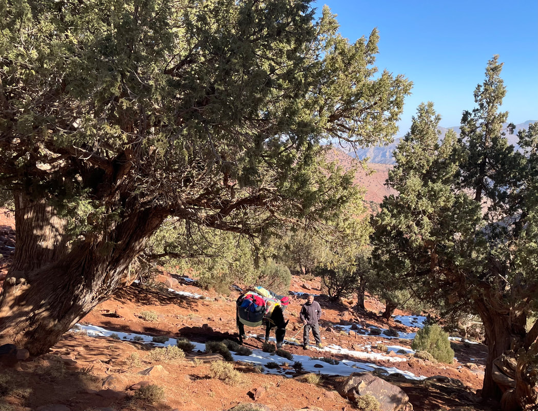
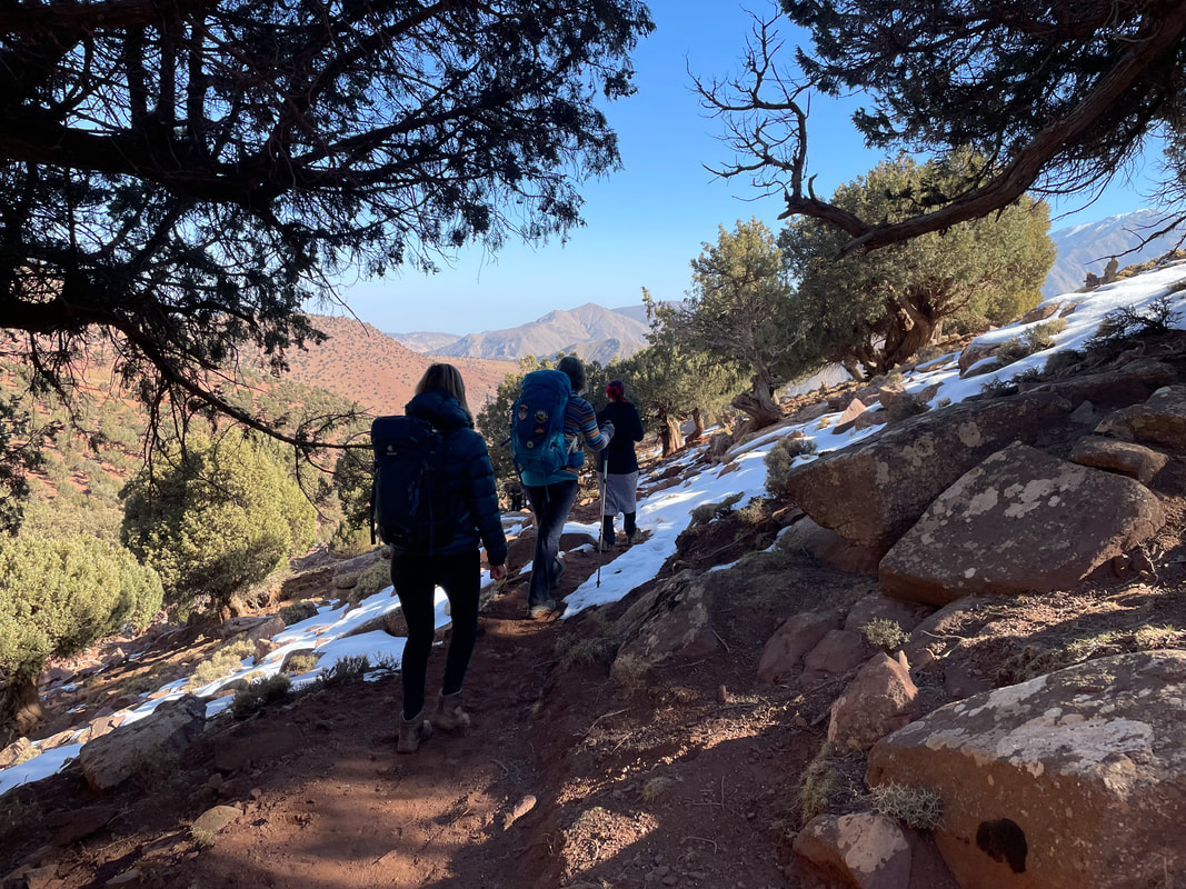
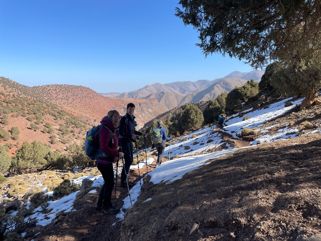
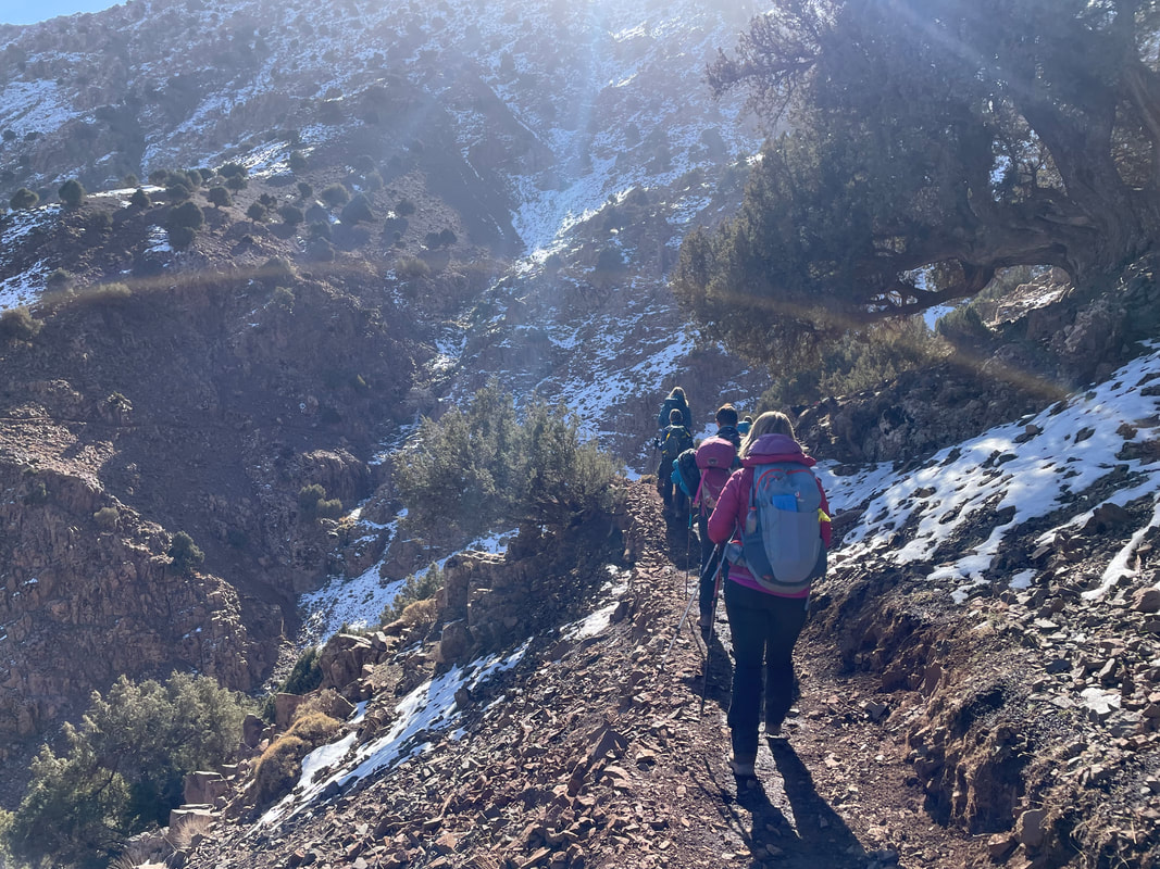
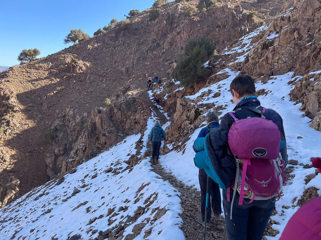
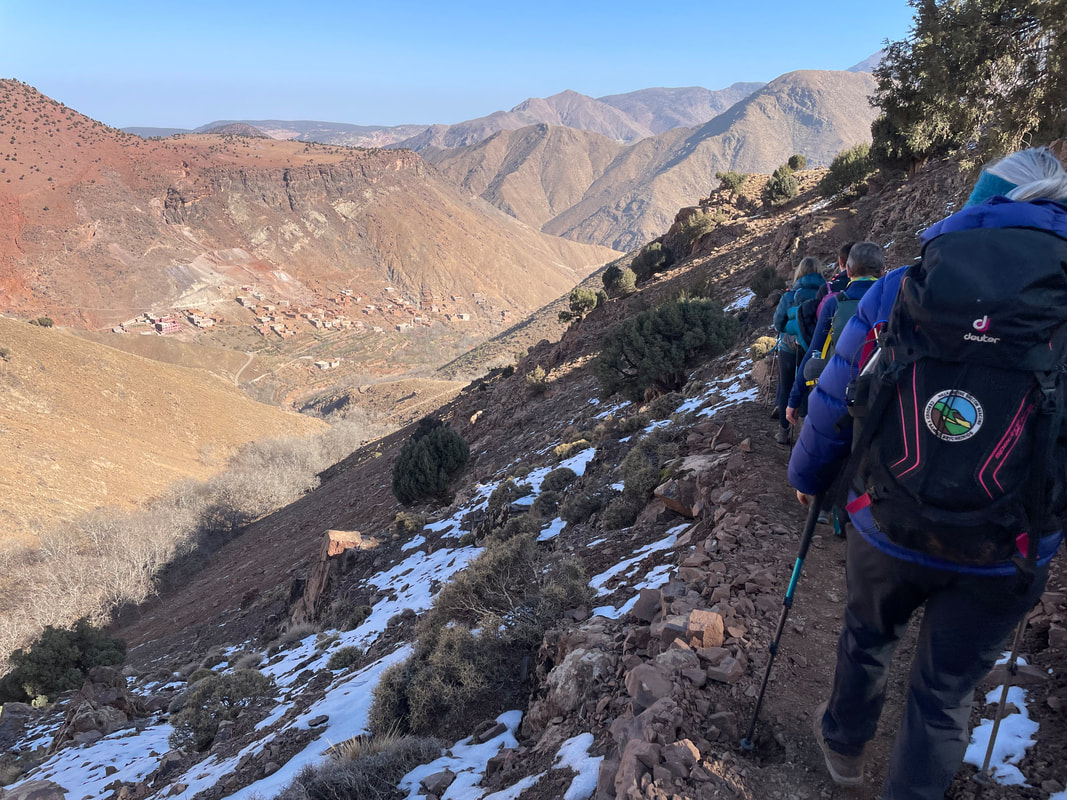
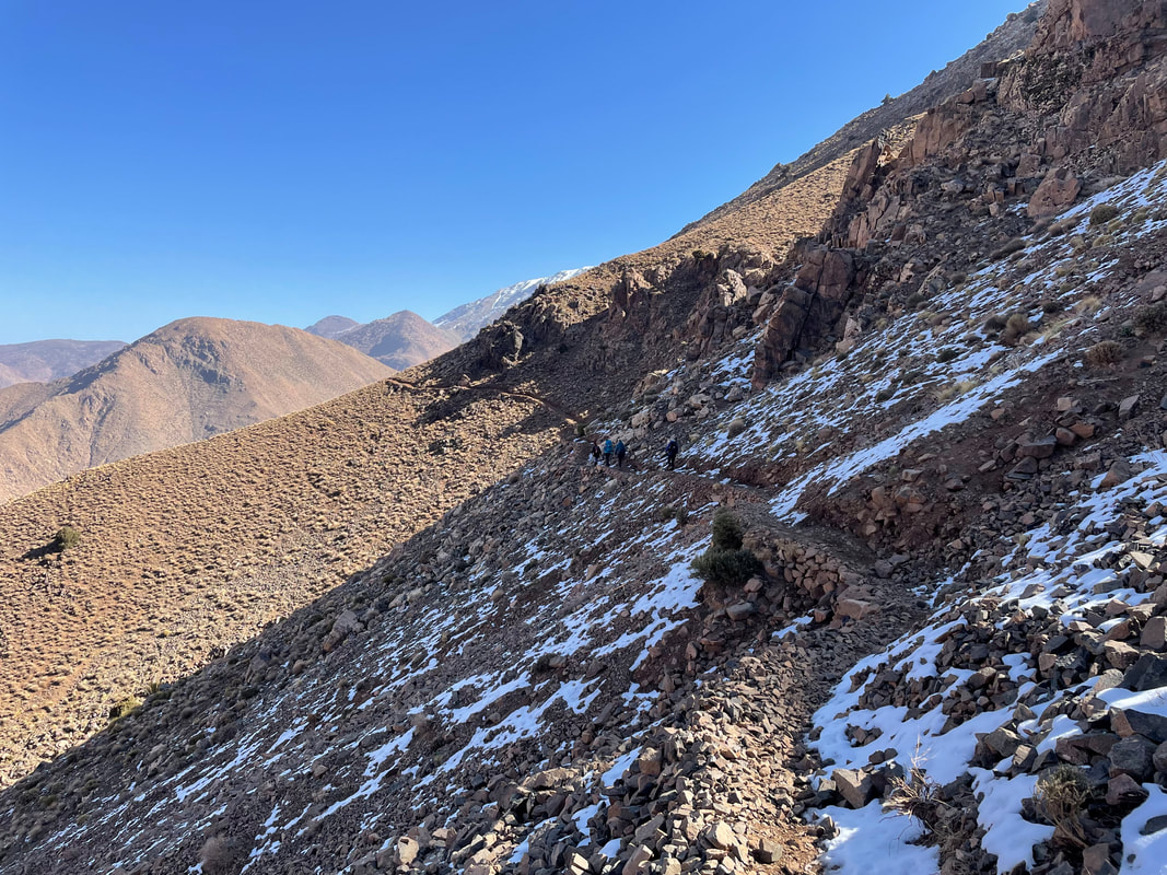
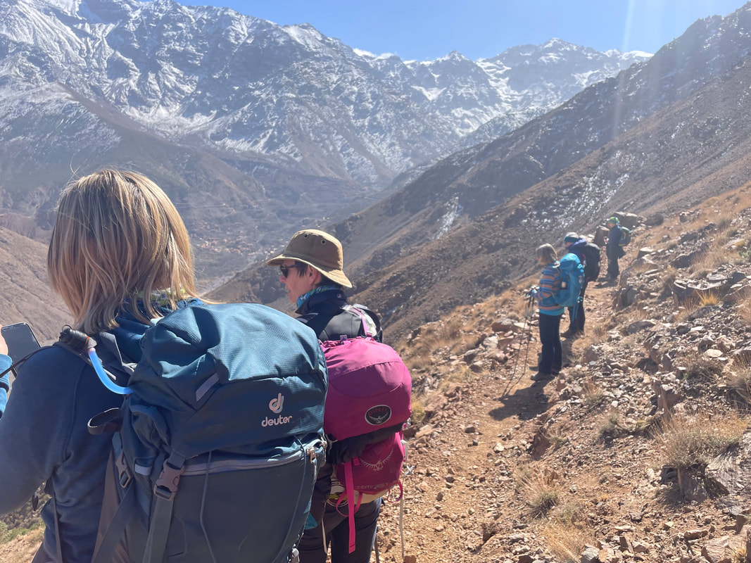
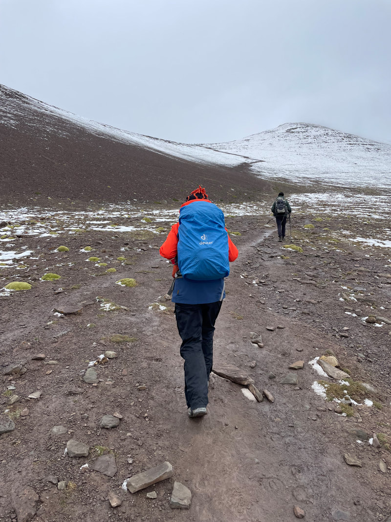
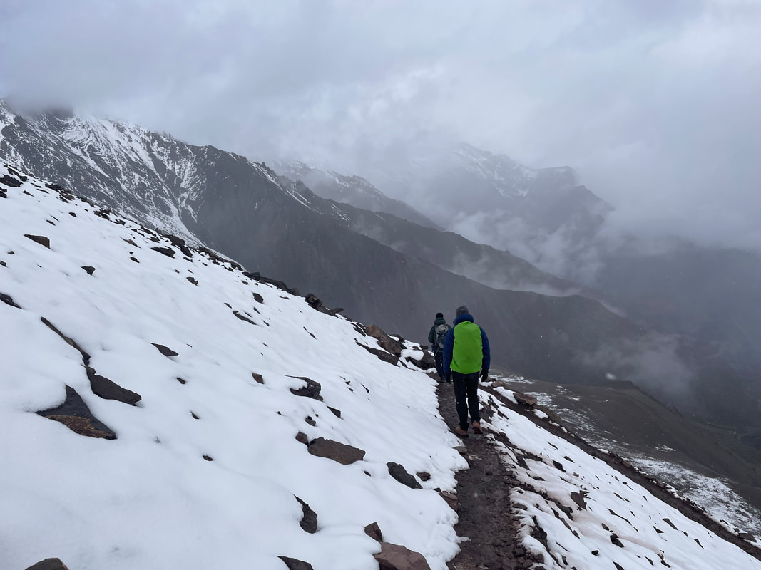
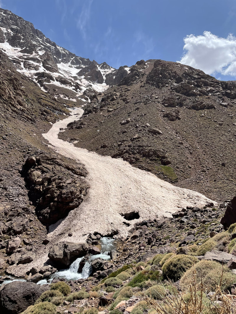
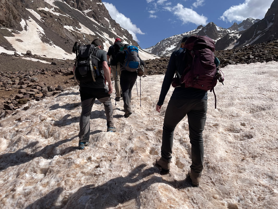
DAY 3 The day of the big trek over to the mountain lodge involved a long trekking day over a snowy tizi, Tizi n'Mzik (2479m) and down into a deep valley of isolated villages. Zig-zagging up and over the mountain pass in light snow took quite some time but we all made it to the top with smiles on our faces. It's a long way into the next valley and the weather was very changeable, too cold to eat amongst the trees so Latifa had rung round it seemed and organised for our chef to cook in a half built house in the first village Tizi Oussem, where we could find shelter too. The last stretch of the walk involved at 3km of tarmac road but a friendly local man took pity on us and we all piled in the back of his battered Mercedes van for a lift to the lodge. He was very grateful for his tip and us for the ride. 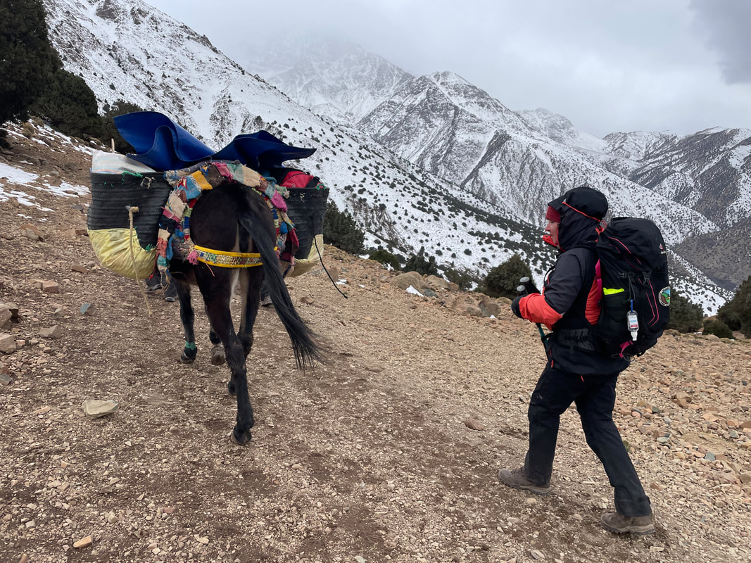 The lodge at Ait Aissa was lovely offering us great views of the mountains, traditional Moroccan slippers and excellent tagines, everything except running water! Due to the snow, the village’s solar powered water system wasn’t working so the lodge and all the neighbouring villages didn’t have any running water. the Kitchen had a large storage tank but that was all there was for the cooking. We had to ration the bottled water that was available - once it was gone that was that. Baths in literally two inches of water were required as well as a sense of humour. Plenty of bottled water for drinking meant we were well catered for. DAY 4 Whilst in this remote village Latifa organised for us to eat with a local family and see how they prepared food for their family. The host cooked bread on the walls of a stone oven with embers in for us to eat. It tasted lovely with honey, olive oil and eggs. One surprise was watching her make the most lovely mint tea yet seeing six large blocks of sugar go in the teapot - the equivalent of 36 sugar cubes! Good job we had a big walk back to the Kasbah the next day. The next stop was a weaving workshop where women and their young families spent the whole day weaving rugs. It was a concrete block, small building which was freezing. They were very pleased to see us and gave us mint tea, popcorn and walnuts. 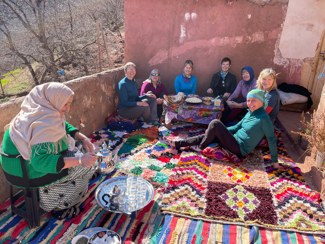
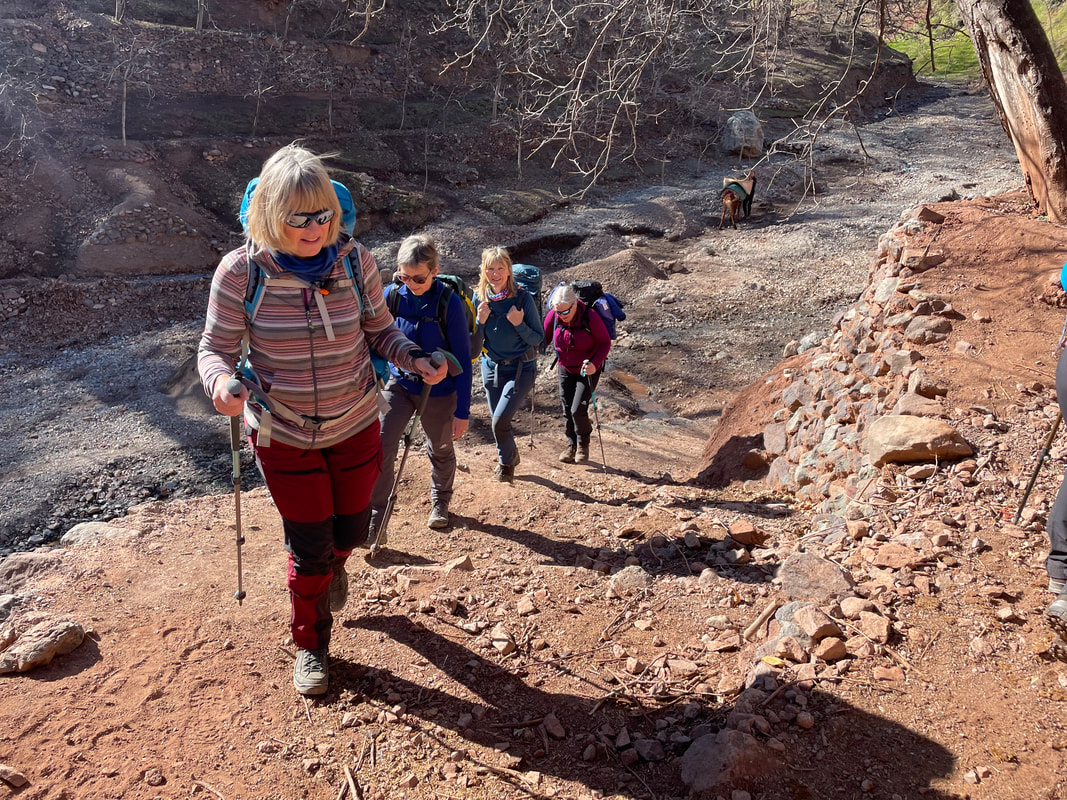
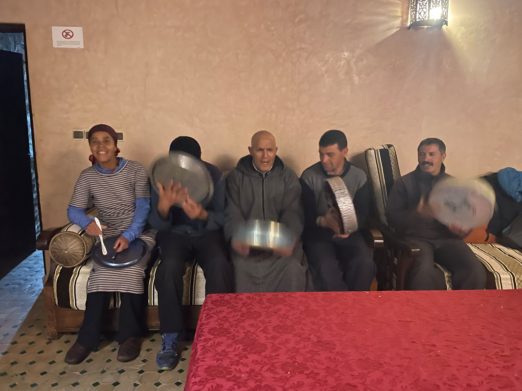
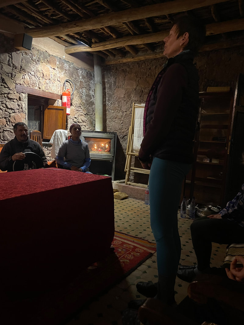
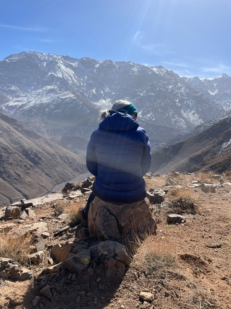
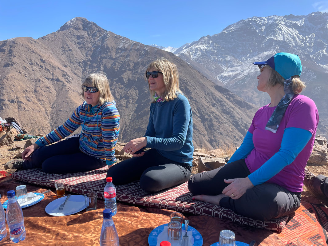
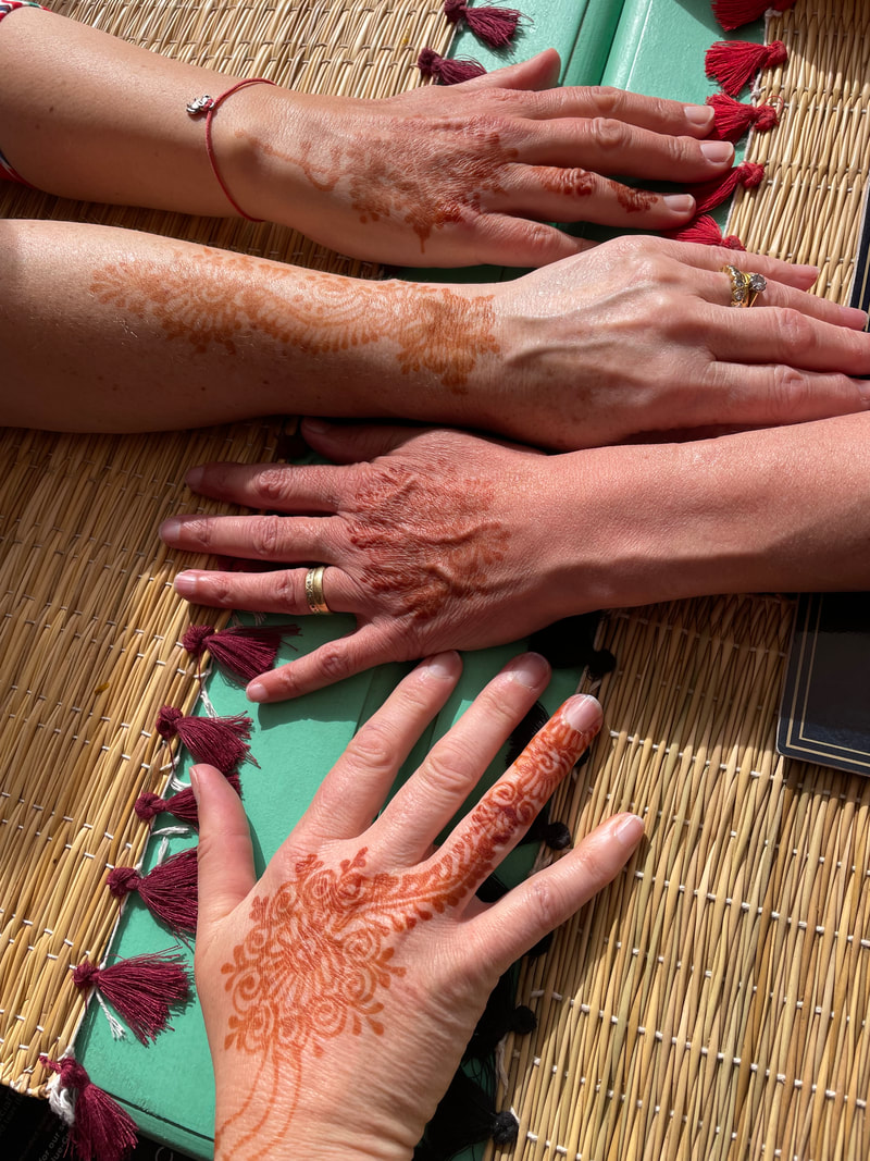
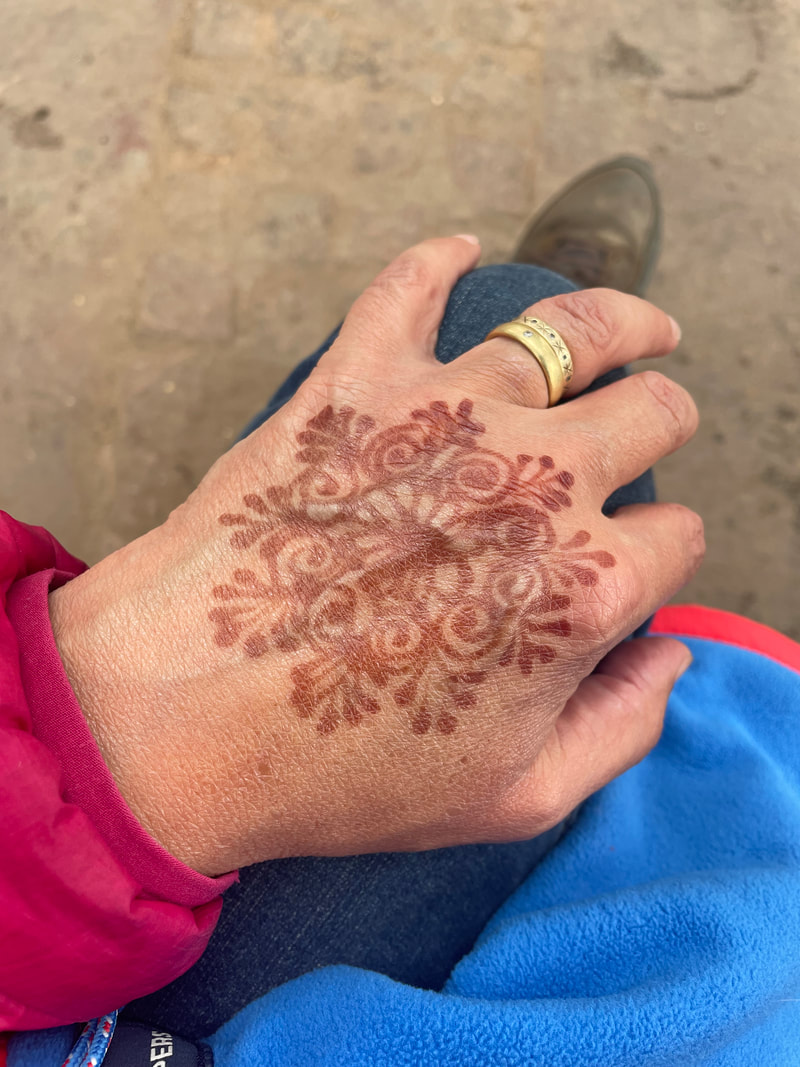
  Our stay at the Lodge was finished off by traditional musical storytelling by the Lodge chef, our travelling chef, their friend and our mule man. They had us dancing and singing - including a solo rendition of Hen Wlad Fy Nhadau by Janet, they were clearly impressed. A night to remember. DAY 5 Another absolutely beautiful walk from the lodge up to the Tizi Oudite (2221m) through juniper trees and passing a remote, simple farm. The sun was coming up and the views behind us were amazing. The path from the tizi all the way to the lunch spot, was precipitous all the way, several kilometres with sunning scenery around. The highlight of the trek back to the Kasbah was the stunning lunch spot, right on a mountain spur surrounded by snow capped mountains, truly a special meal and one we will all remember. A great way to conclude the trekking aspect of our trip. On our return Latifa had organised a girl from the village to come up to the Kasbah to do some henna art for us. 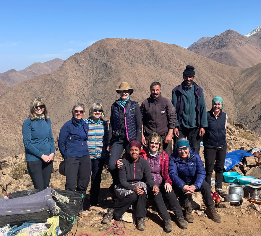  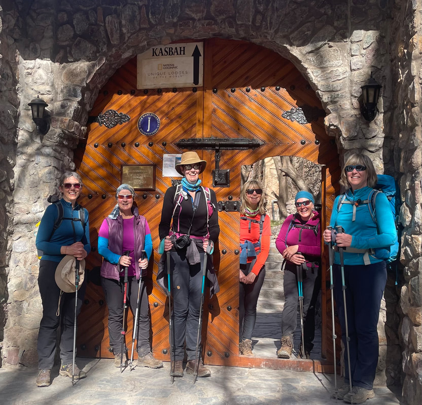 Well done girls!! Day 6 and 7 Next stop was a two night stay over in Marrakesh. We said a sad goodbye to Latifa, booked into our beautiful Riad and embarked on a guided tour of the city. This took us through the city stopping to look at special features of the Medina, the walled city area, and then into the souks. Passing through the ironwork area, the leatherwork area (we had already visited the tannery earlier), through the textile souks and the spice souks - we had the opportunity to see a bit of everything as well as enjoy rooftop drinks. A day then spent at leisure and a final meal together rounded off a great eight days in Morocco. 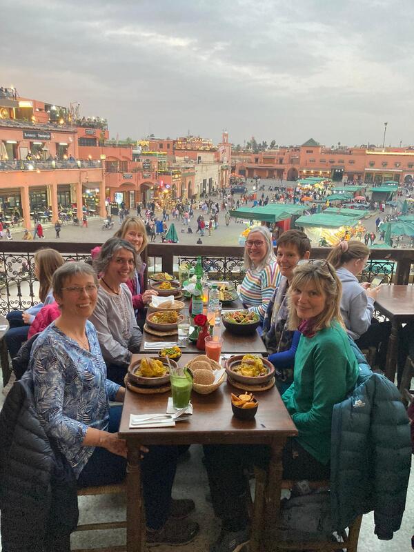 I will remember this trip for many reasons. The blue skies we had, the food, the company, the laughs and the learning that I have taken from it. I intend to run it again next year so I hope you have got a flavour of this year’s trip to think about booking for next time. 'til next time Many thanks to Wendy Cottis for stepping in to help create this blog, at a time when it was much appreciated.
3 Comments
Pembrokeshire - Our search for the Blue Stones |


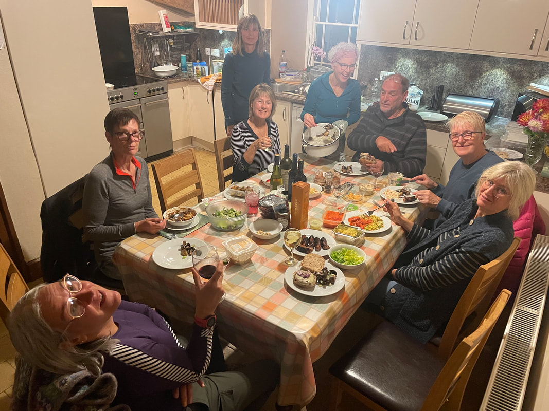
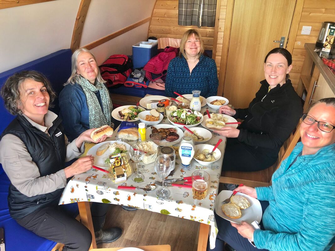
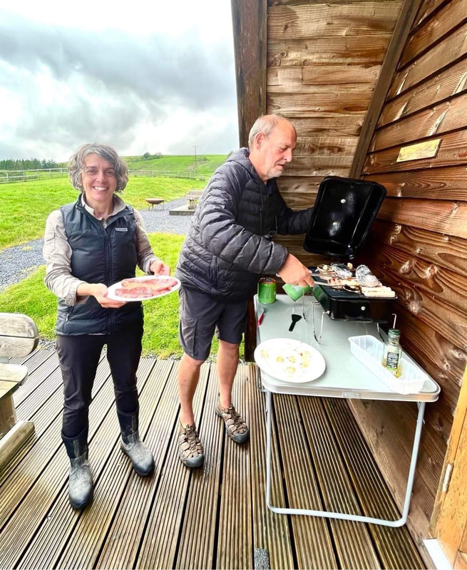
| DAY 1 Arrival We all arrived safely at Rhostwarch Farm in high spirits and ready for the traditional Bryn Walking steak BBQ manned excellently by 'The Mighty AW' (aka Alan Ward but renamed some time ago by Sian). Cooking steaks for a large group to eat at the same time is a challenge but it was a great success and each steak was cooked perfectly to everyone's preference.  | |
Day 2 The Golden Road
An ancient Neolithic track used as a travellers route to and from Ireland, perhaps carrying gold.
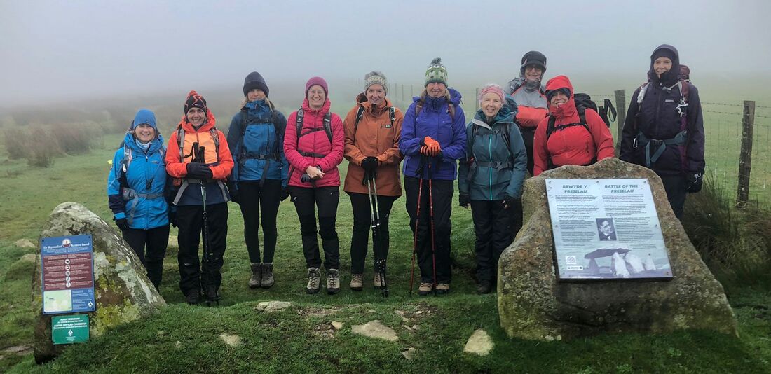
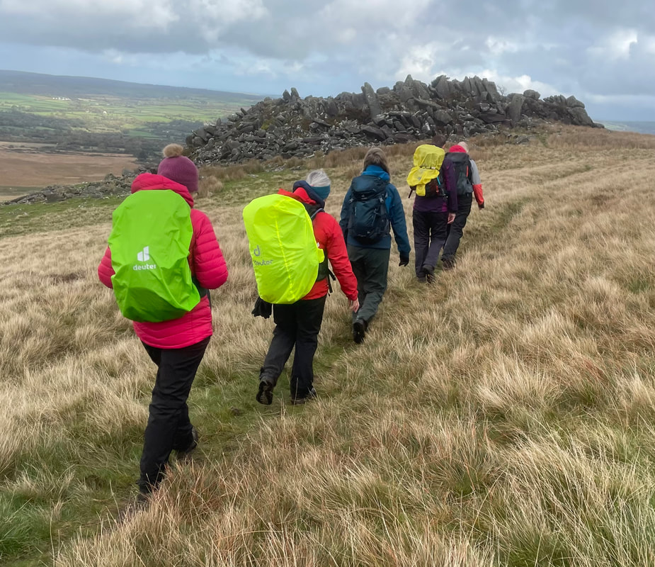
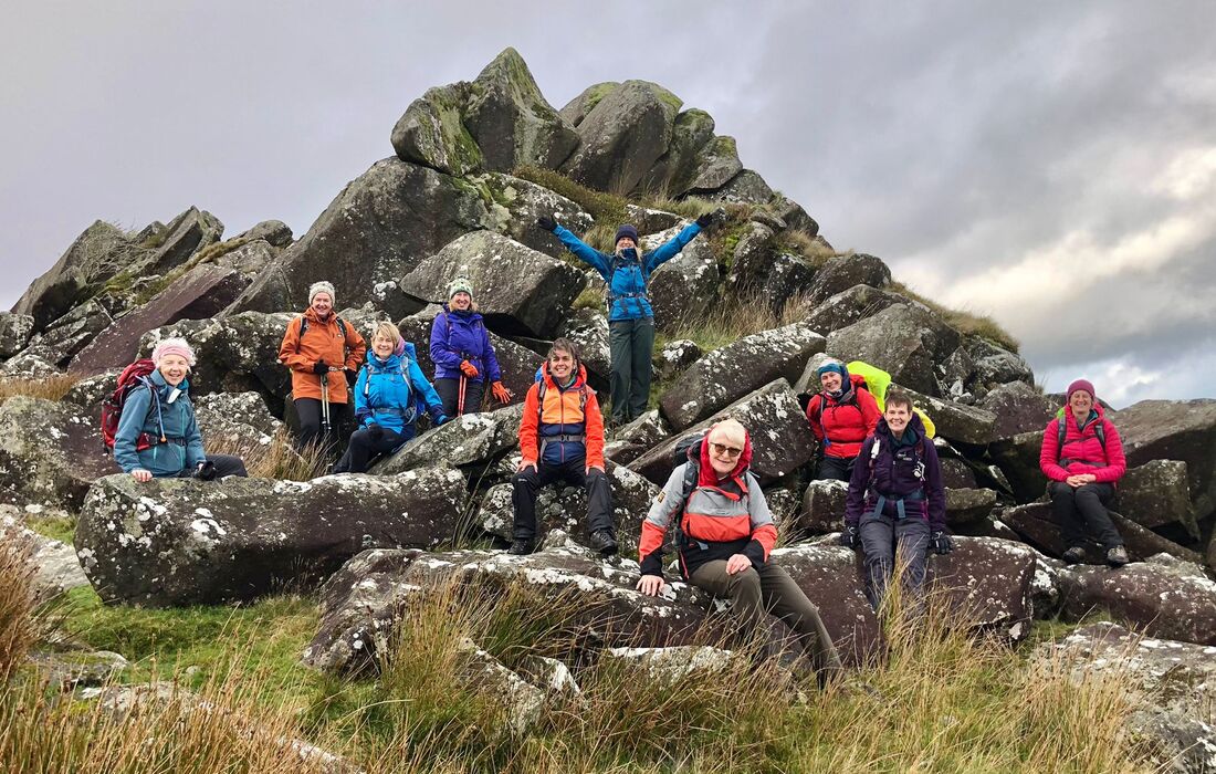
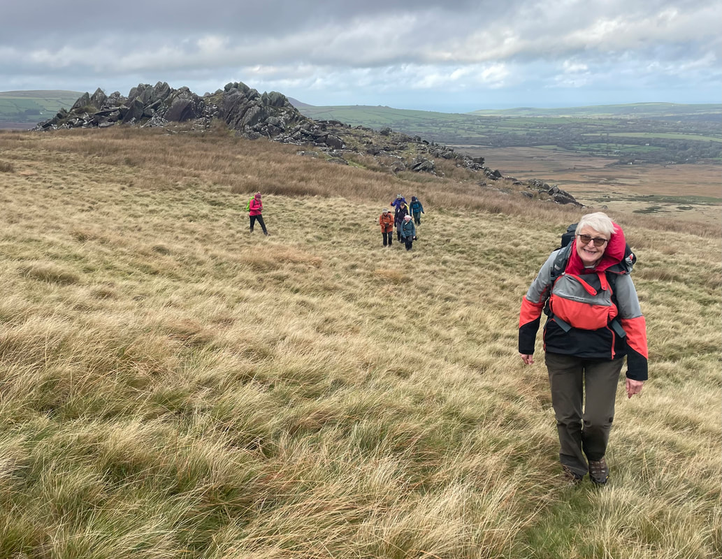
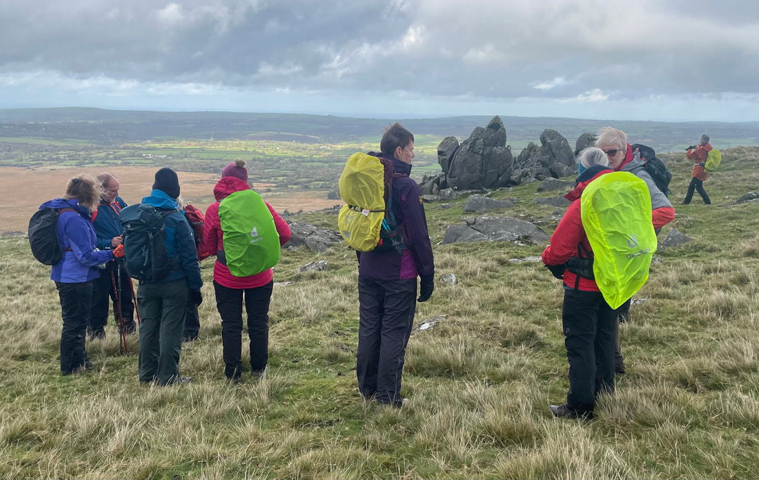
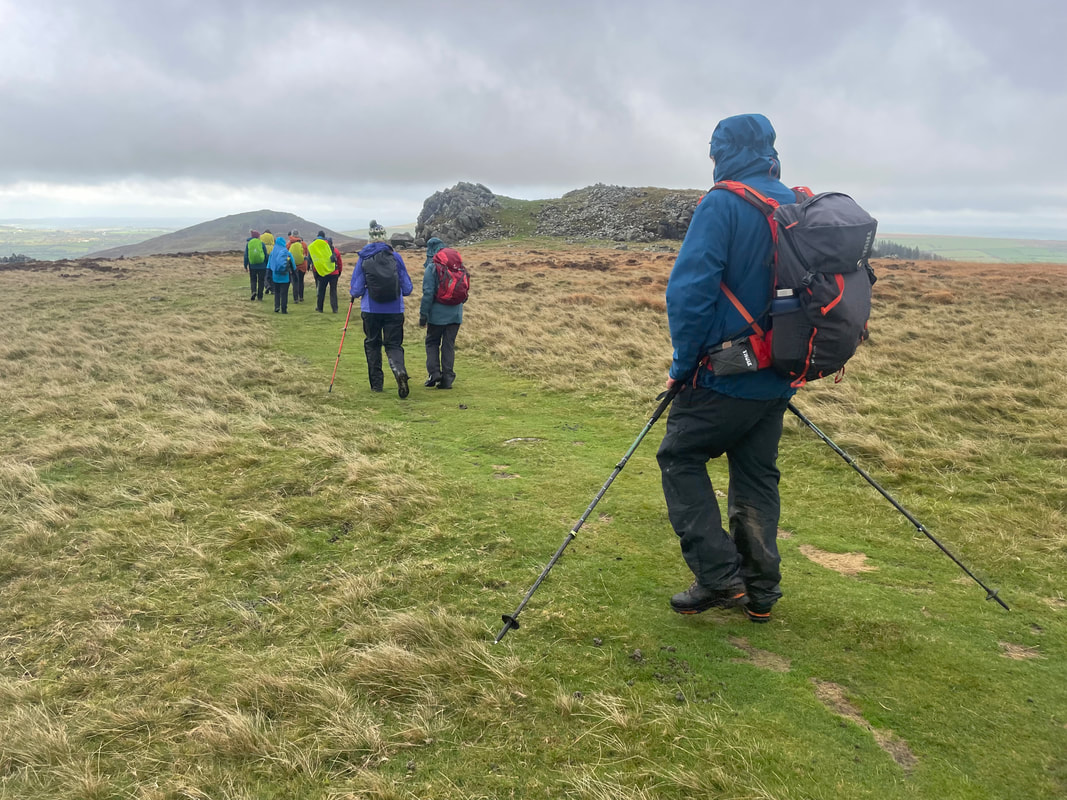
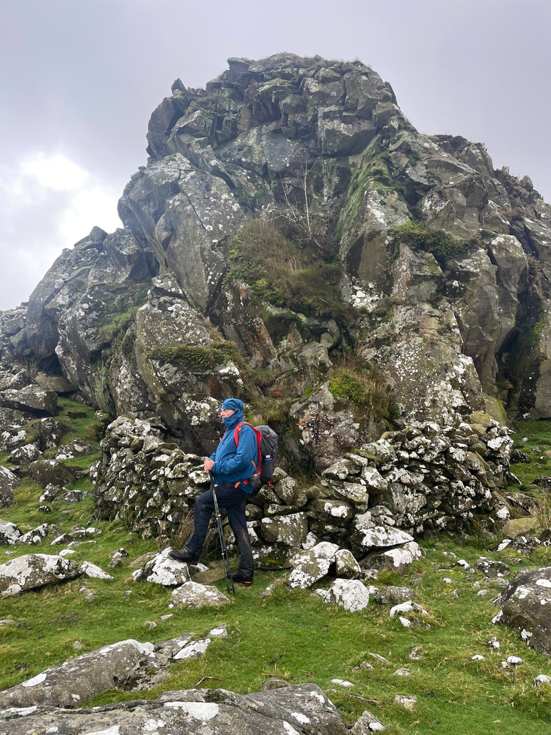
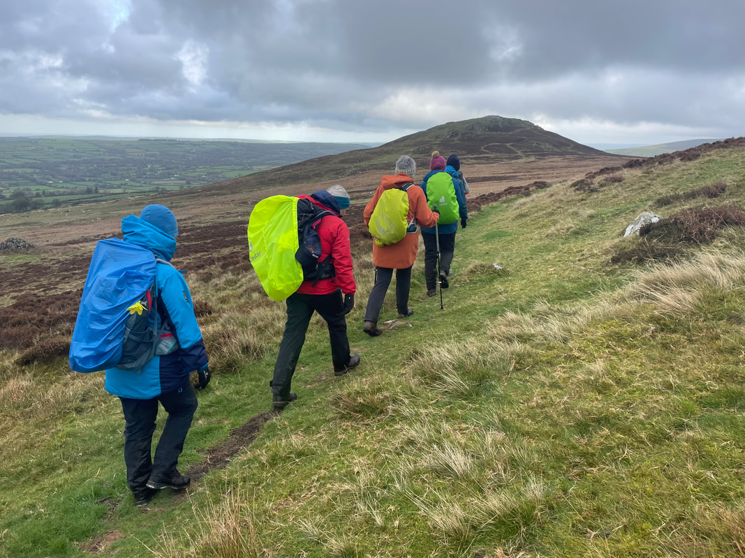
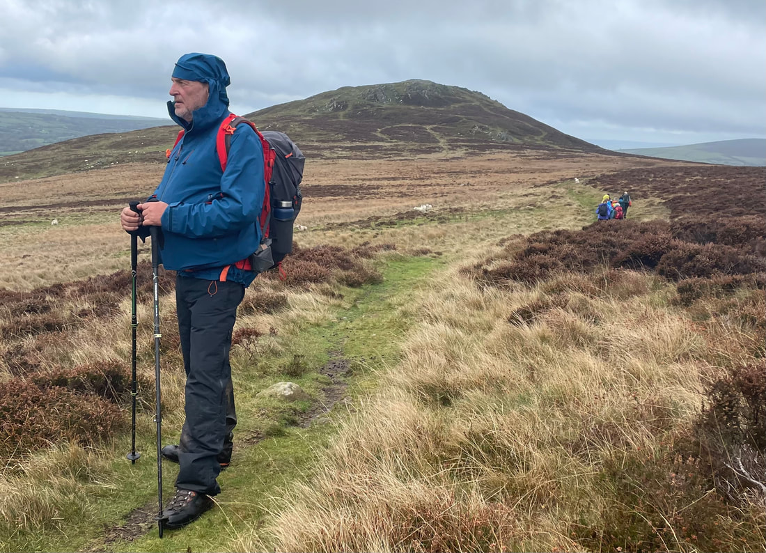
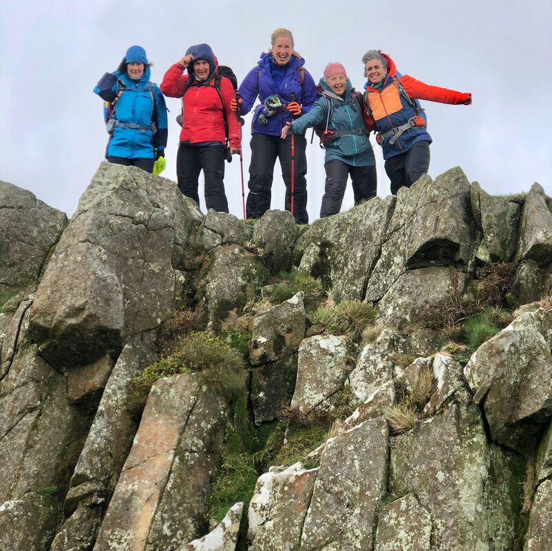
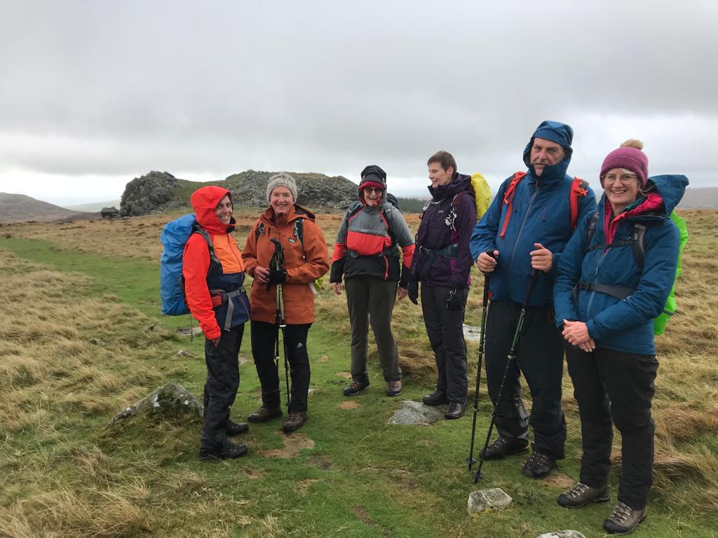
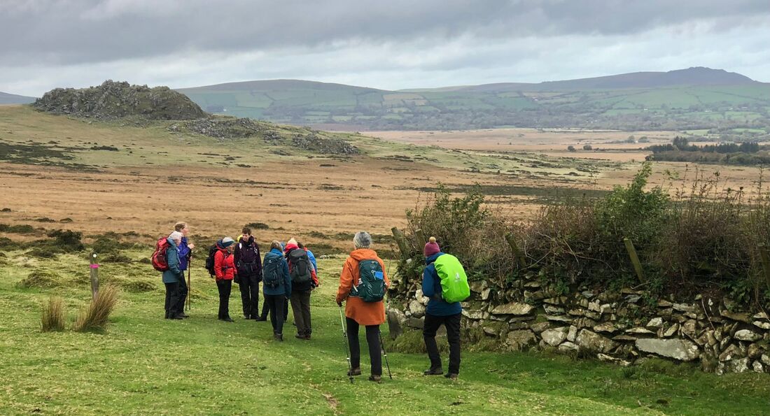
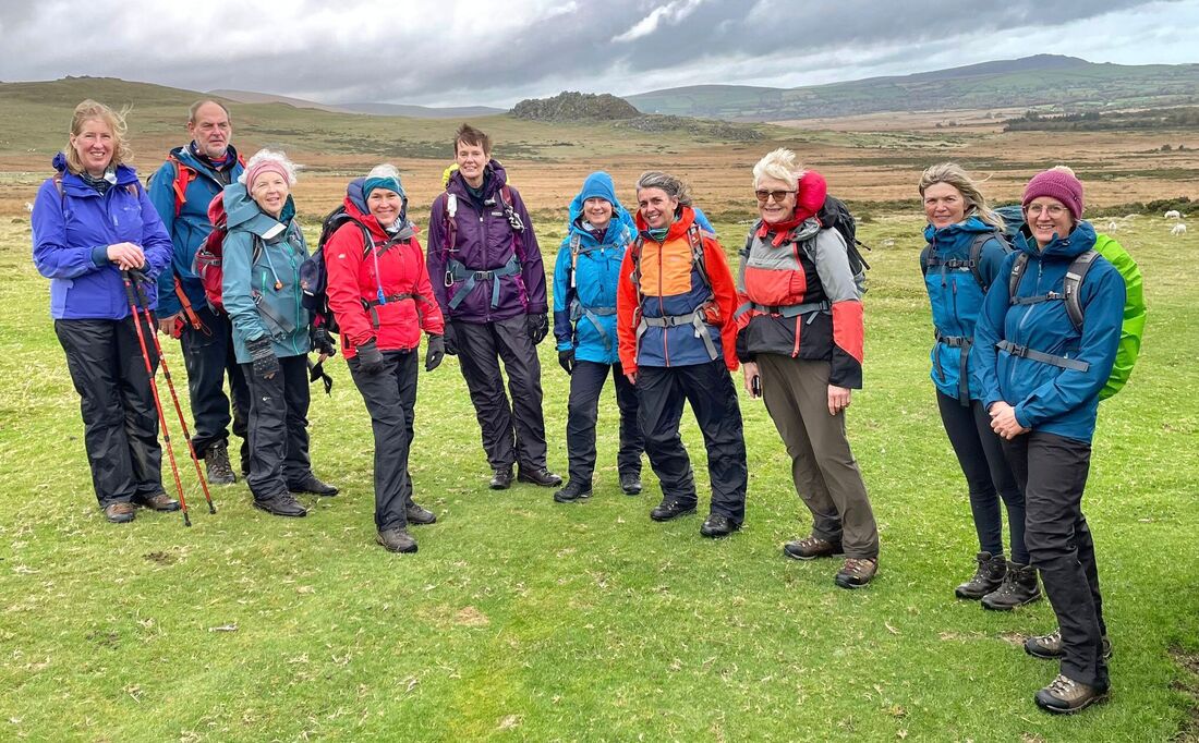
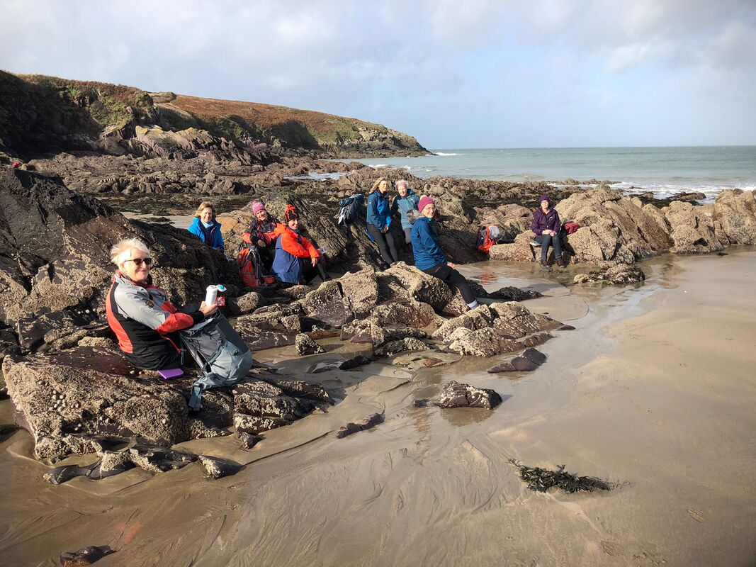
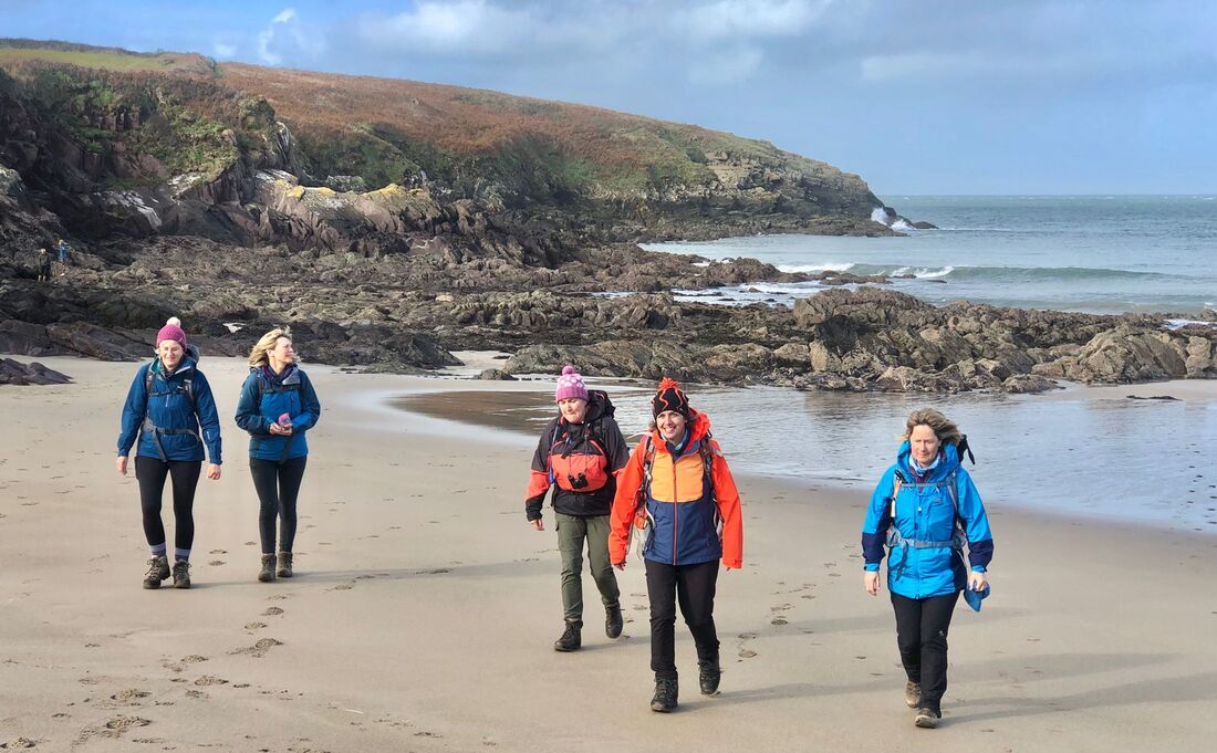
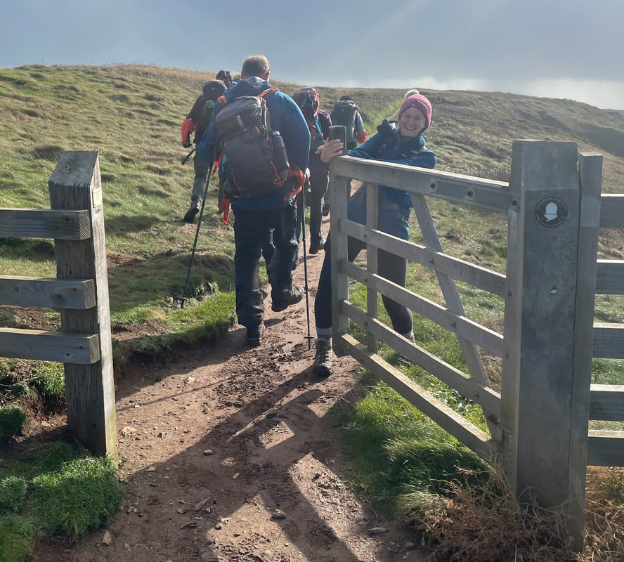
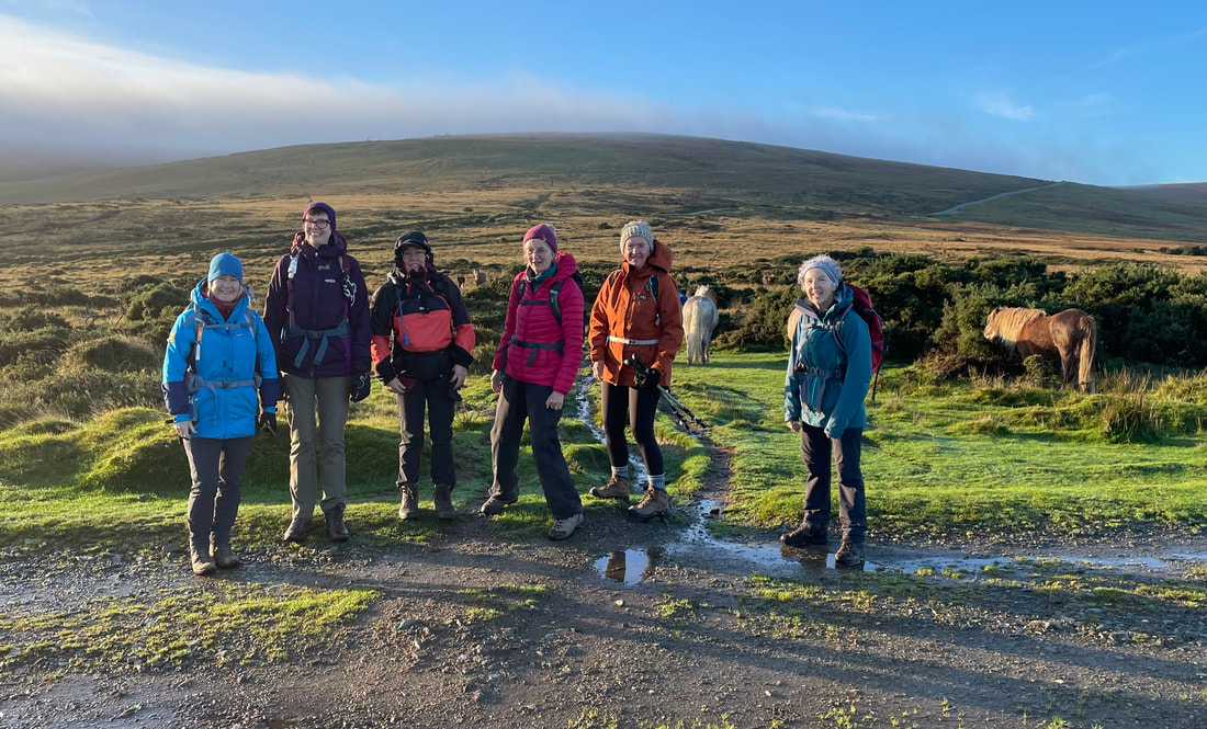
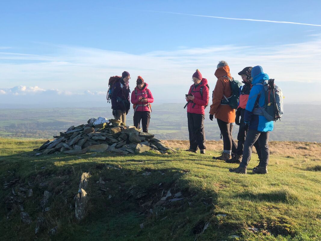
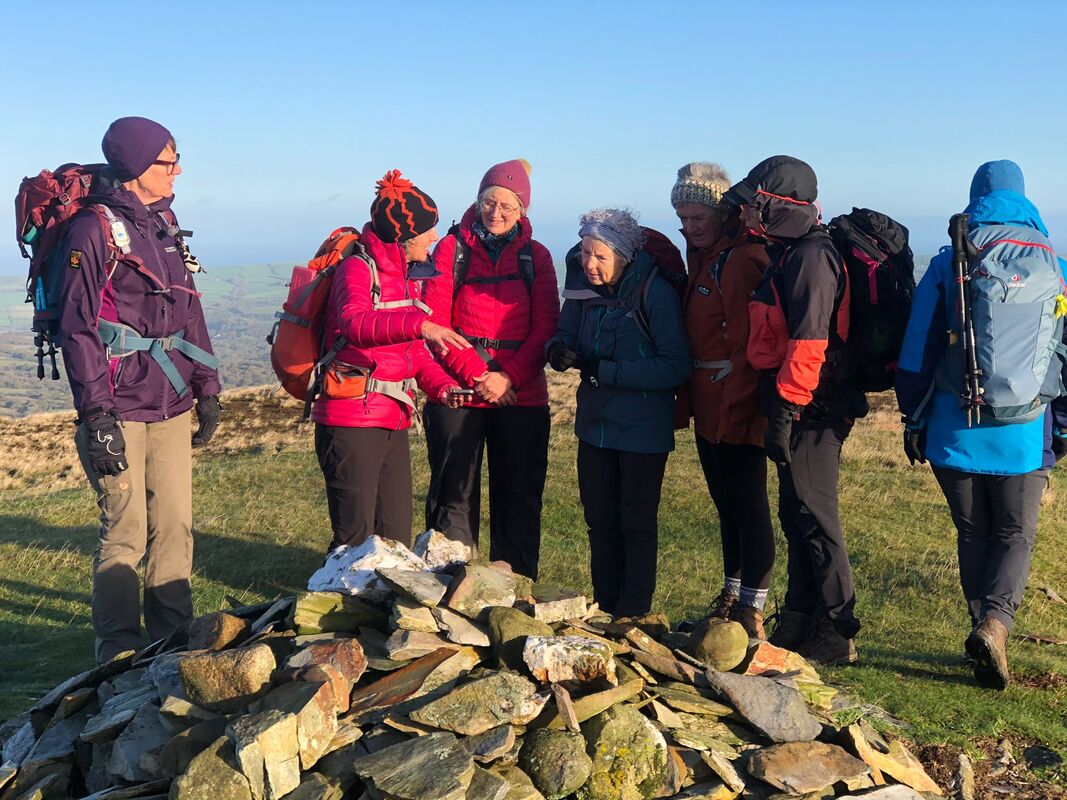
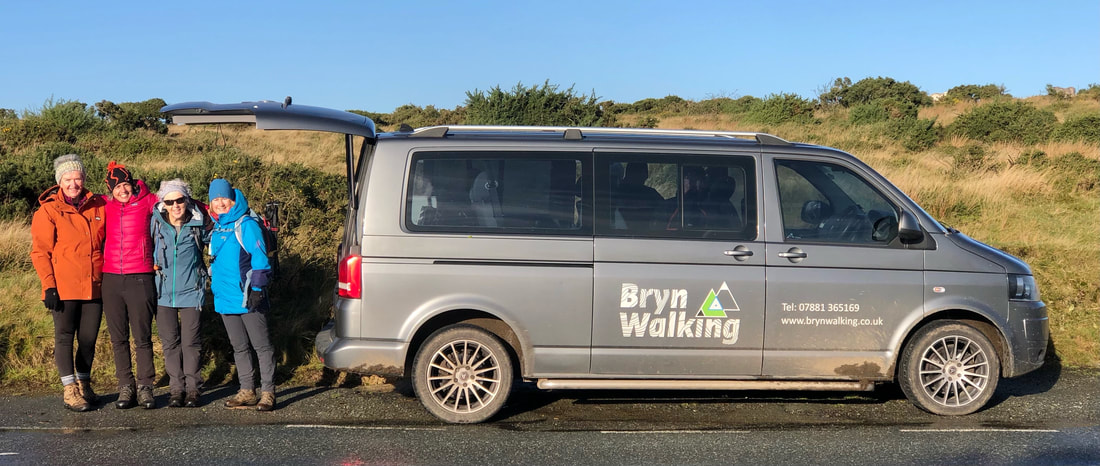
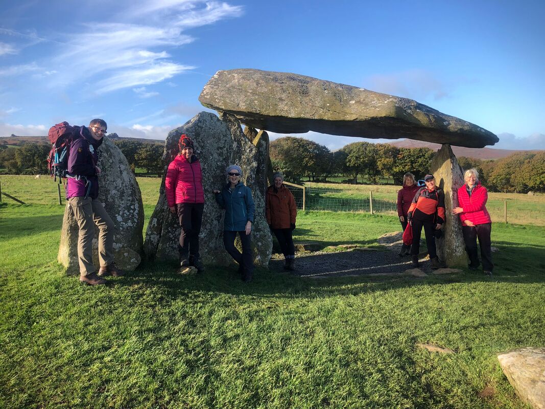
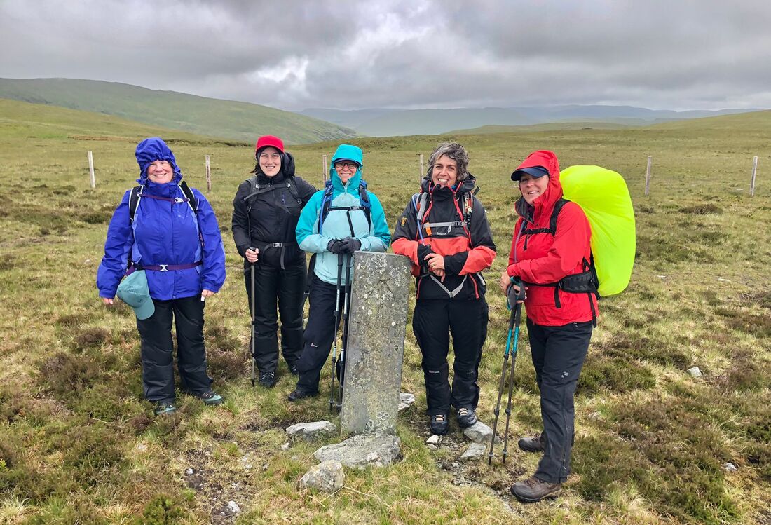
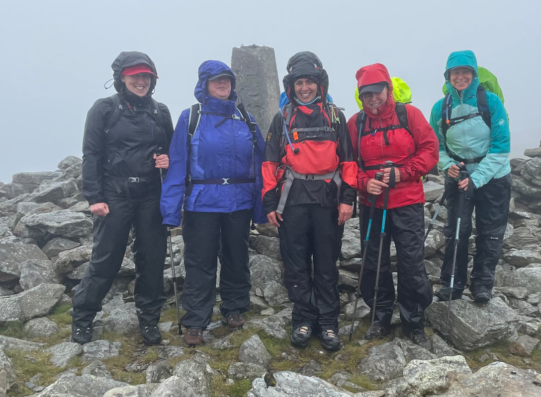
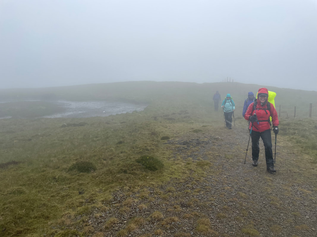
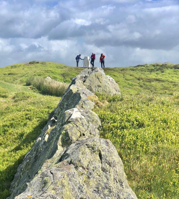
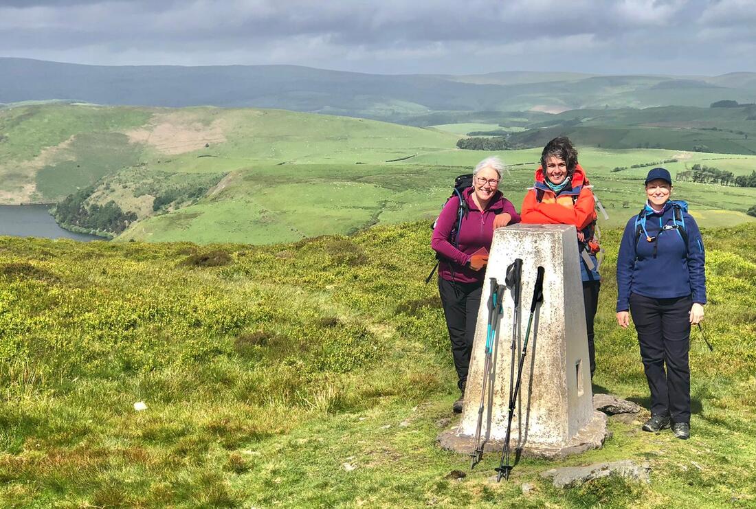
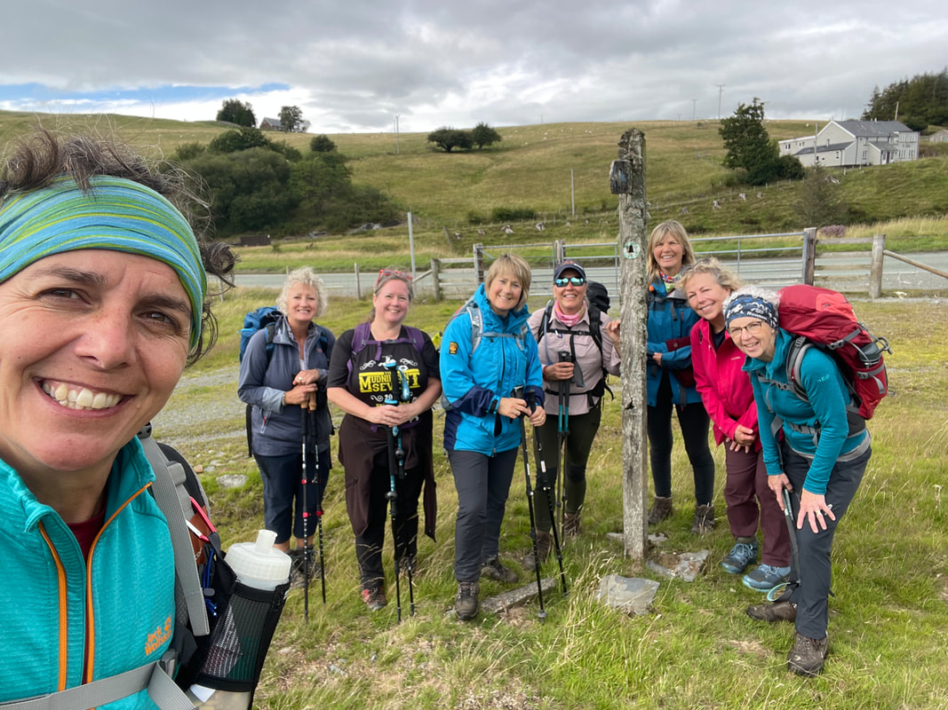
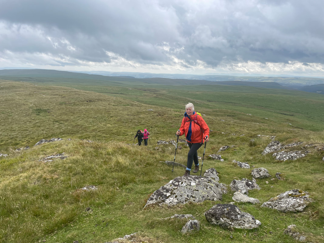
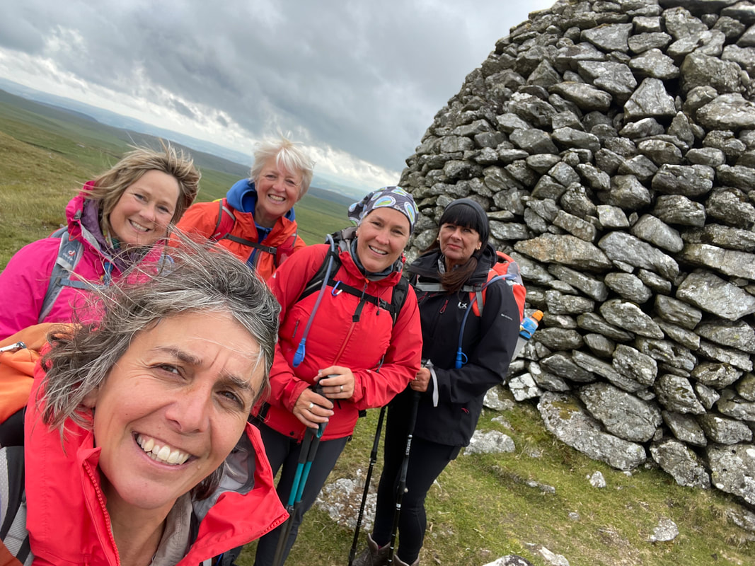
We left the farm at 0900, meeting Bethan and Lyn up a Bwlch- gwynt, the starting point. It was very windy and very murky but all the group are as tough as old leather (not in appearances!!!) and just get on with it, no fuss. It was a linear walk taking us first to Foel Feddau (bare graves) a Bronze Age cairn and then on to Carn Goedog (wooded hoof) the site where the majority of the spotted Dolomite stones at Stonehenge came from. Hitech geological testing has been done on the stones to prove this beyond doubt. The group photo above is at this site.
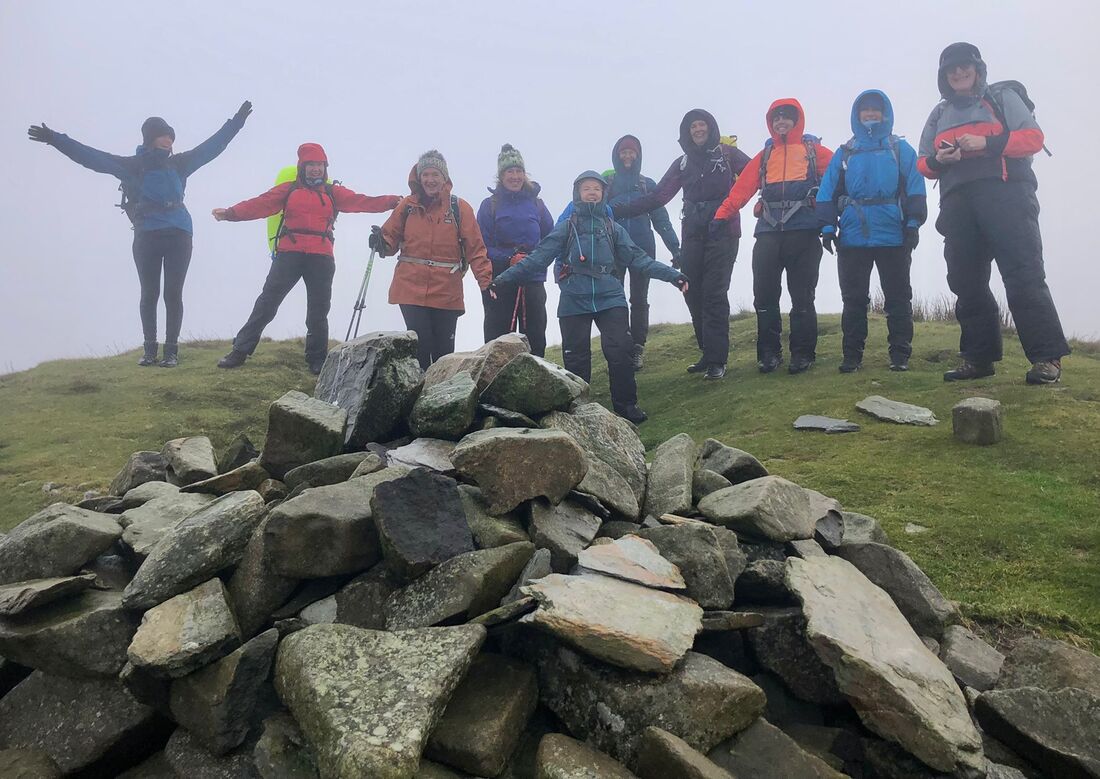
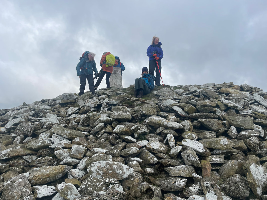
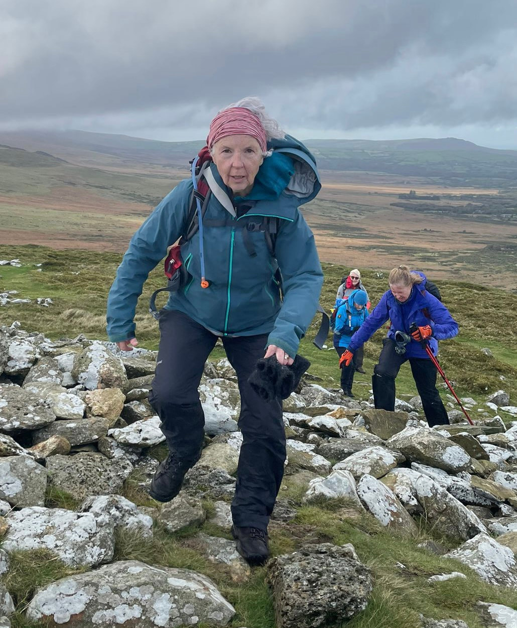
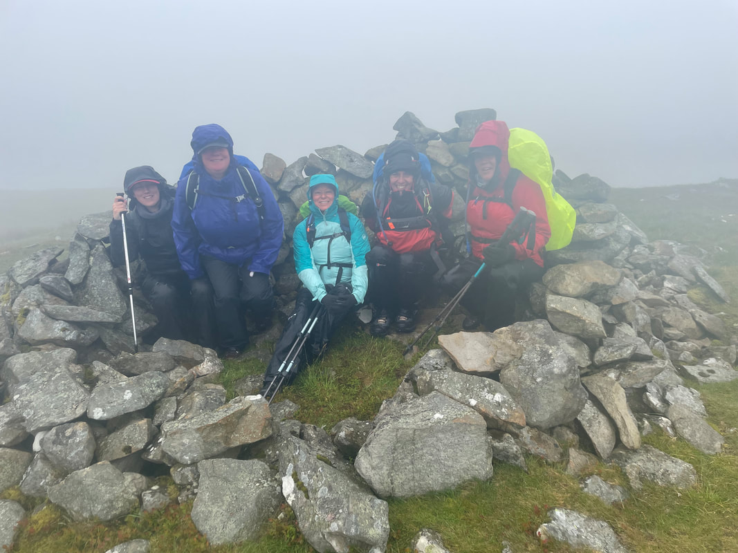
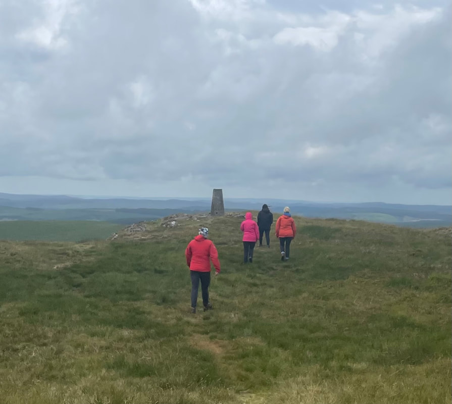
Then on to Carn Menyn (butter) - the stones up here do look like packs of butter. The route is undulating and not particularly difficult, the only real uphill follows from here up to the top of the Iron Age fort Foeldrygarn which has a trig point (363m). It was extremely windy on reaching here. A huge site with the remains of three ramparts.
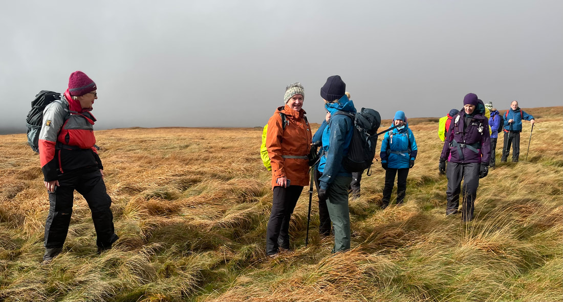
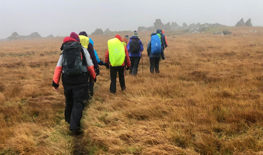
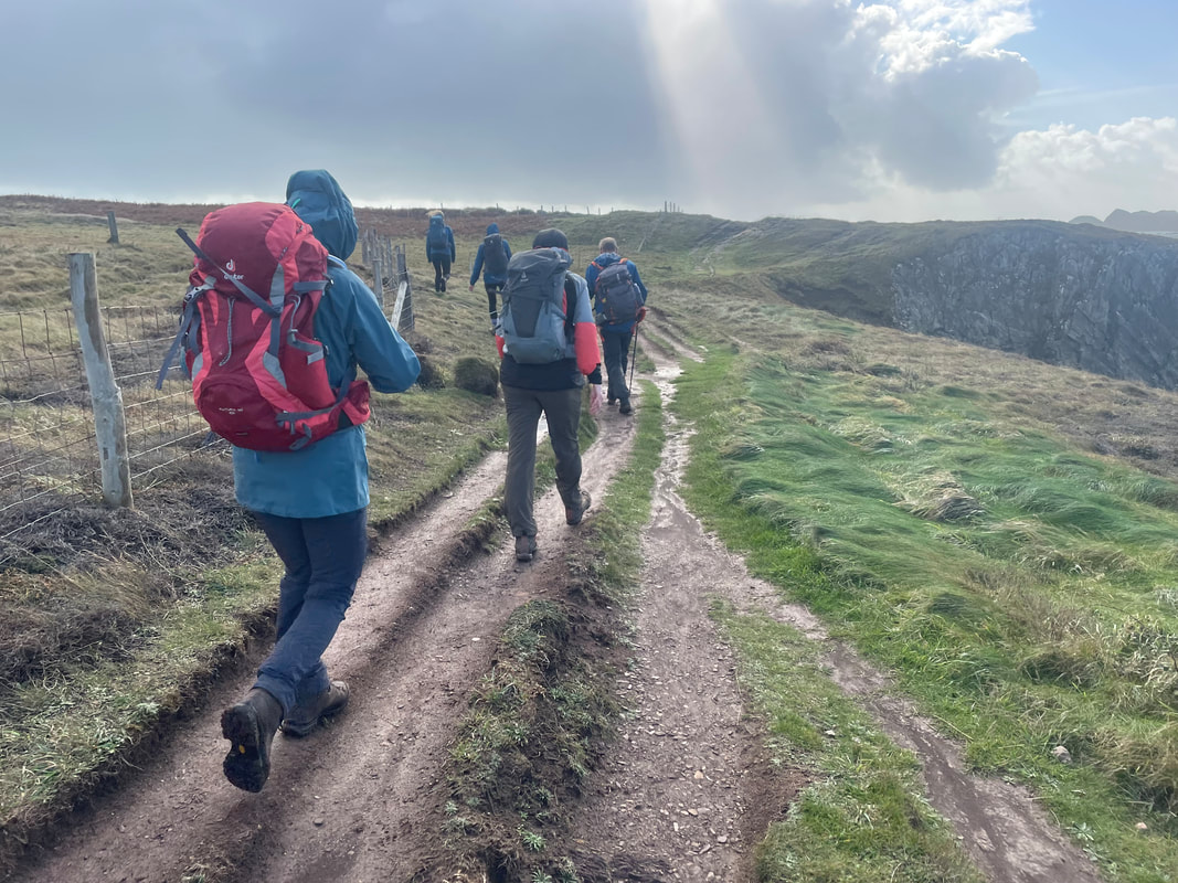
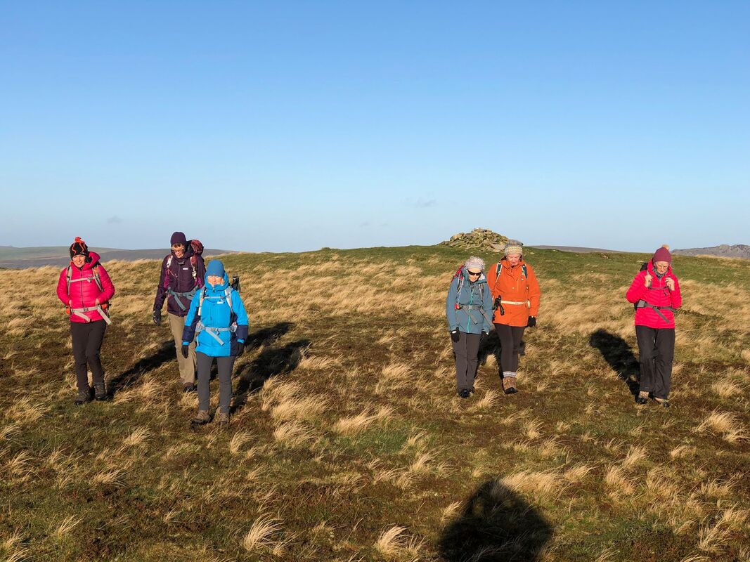
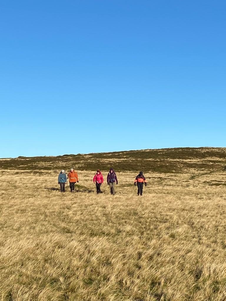
It was a cross country route back to a PROW that would take us back to Rhostwarch - the terrain proved tricky but quite fun actually picking our way through gorse, bog and tufty grasses. Again the group proved their steadfast abilities and determination.
An ancient Neolithic track used as a travellers route to and from Ireland, perhaps carrying gold.
We left the farm at 0900, meeting Bethan and Lyn up a Bwlch- gwynt, the starting point. It was very windy and very murky but all the group are as tough as old leather (not in appearances!!!) and just get on with it, no fuss. It was a linear walk taking us first to Foel Feddau (bare graves) a Bronze Age cairn and then on to Carn Goedog (wooded hoof) the site where the majority of the spotted Dolomite stones at Stonehenge came from. Hitech geological testing has been done on the stones to prove this beyond doubt. The group photo above is at this site.
Then on to Carn Menyn (butter) - the stones up here do look like packs of butter. The route is undulating and not particularly difficult, the only real uphill follows from here up to the top of the Iron Age fort Foeldrygarn which has a trig point (363m). It was extremely windy on reaching here. A huge site with the remains of three ramparts.
It was a cross country route back to a PROW that would take us back to Rhostwarch - the terrain proved tricky but quite fun actually picking our way through gorse, bog and tufty grasses. Again the group proved their steadfast abilities and determination.


A great day and lovely cosy accommodation to come home to. It was satisfying to walk all the way back to the farm but because of inaccessible footpaths (the farmer could pre warn us) it made the route tricky and not straight forward so next time I'll leave the van in a suitable place for the finish point.
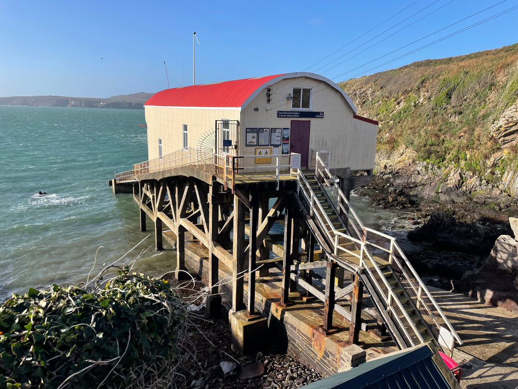
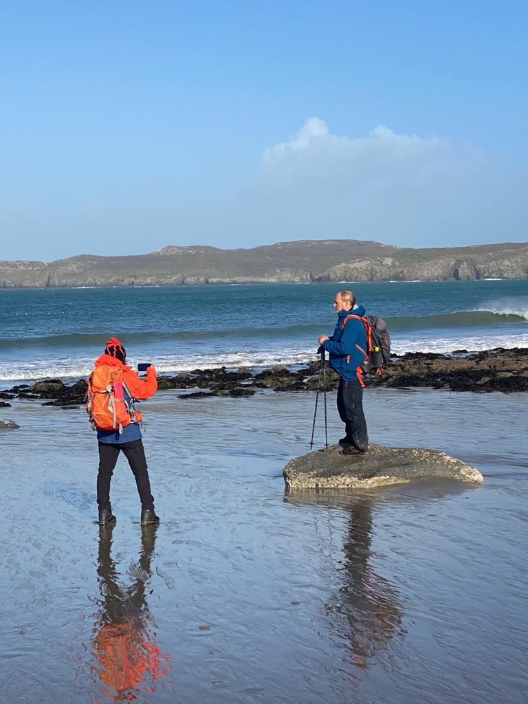
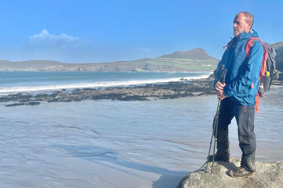
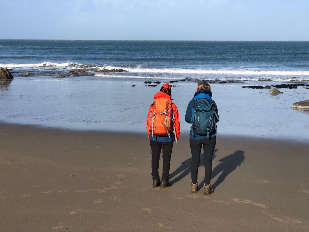
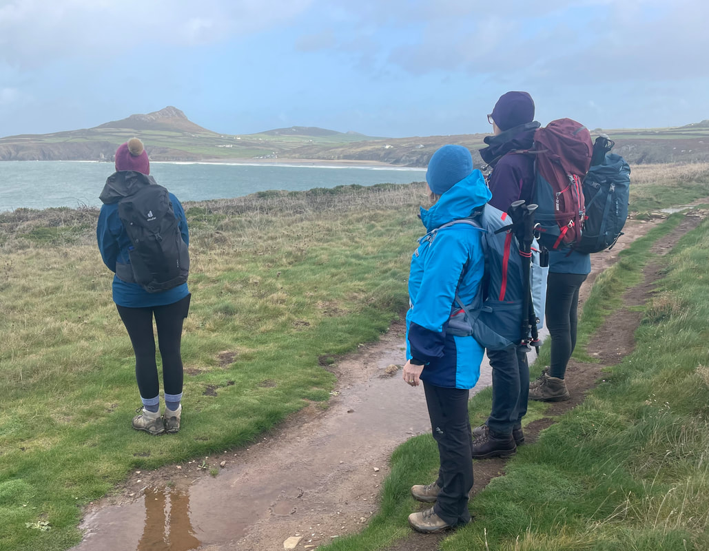
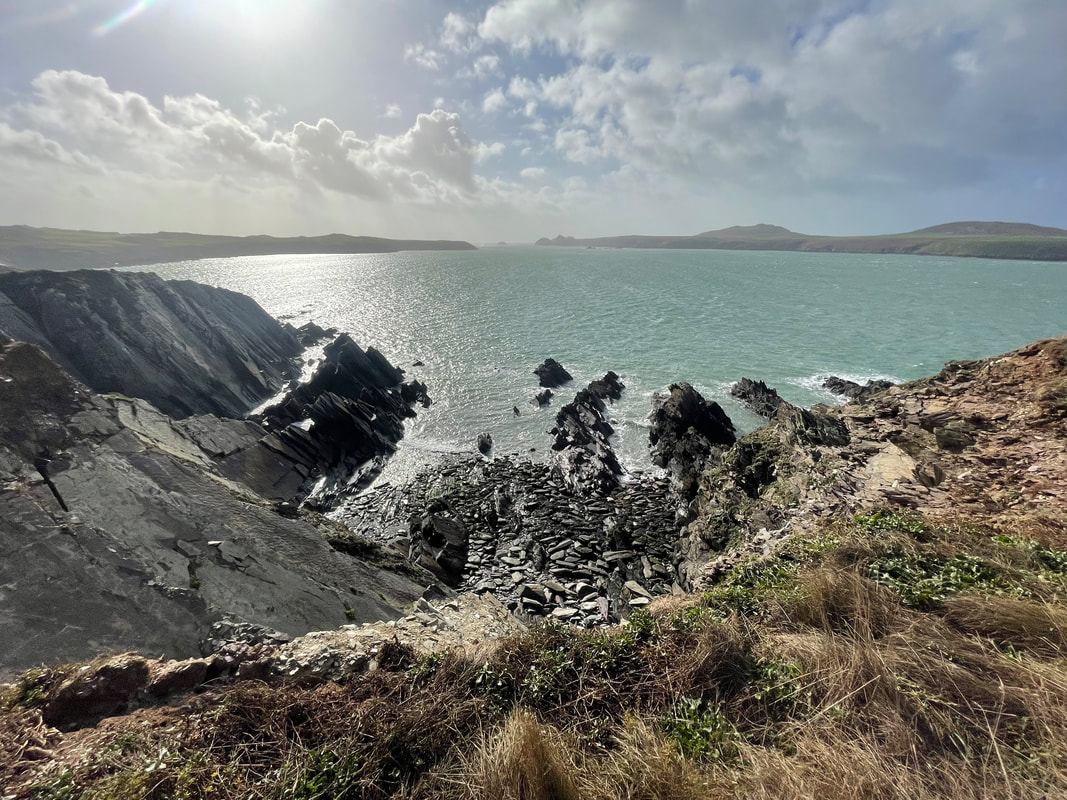
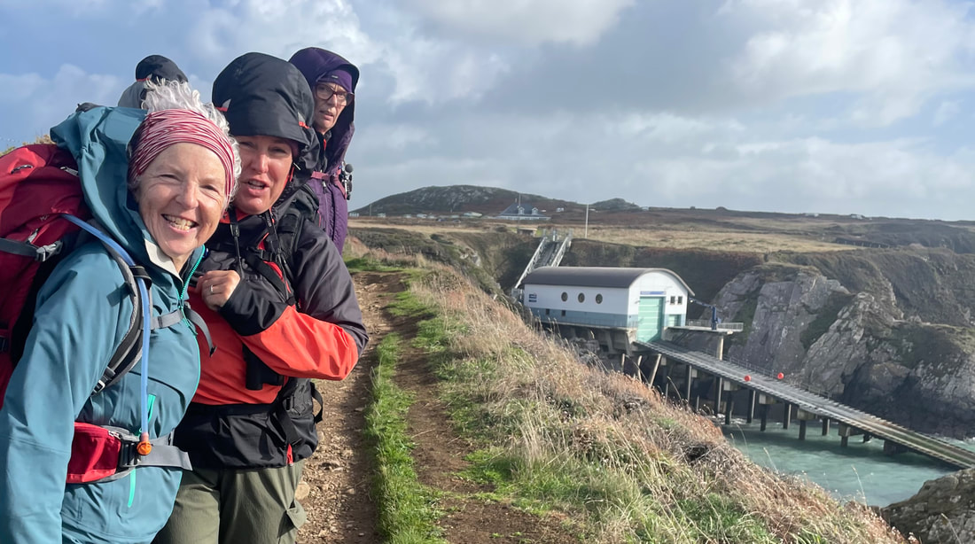
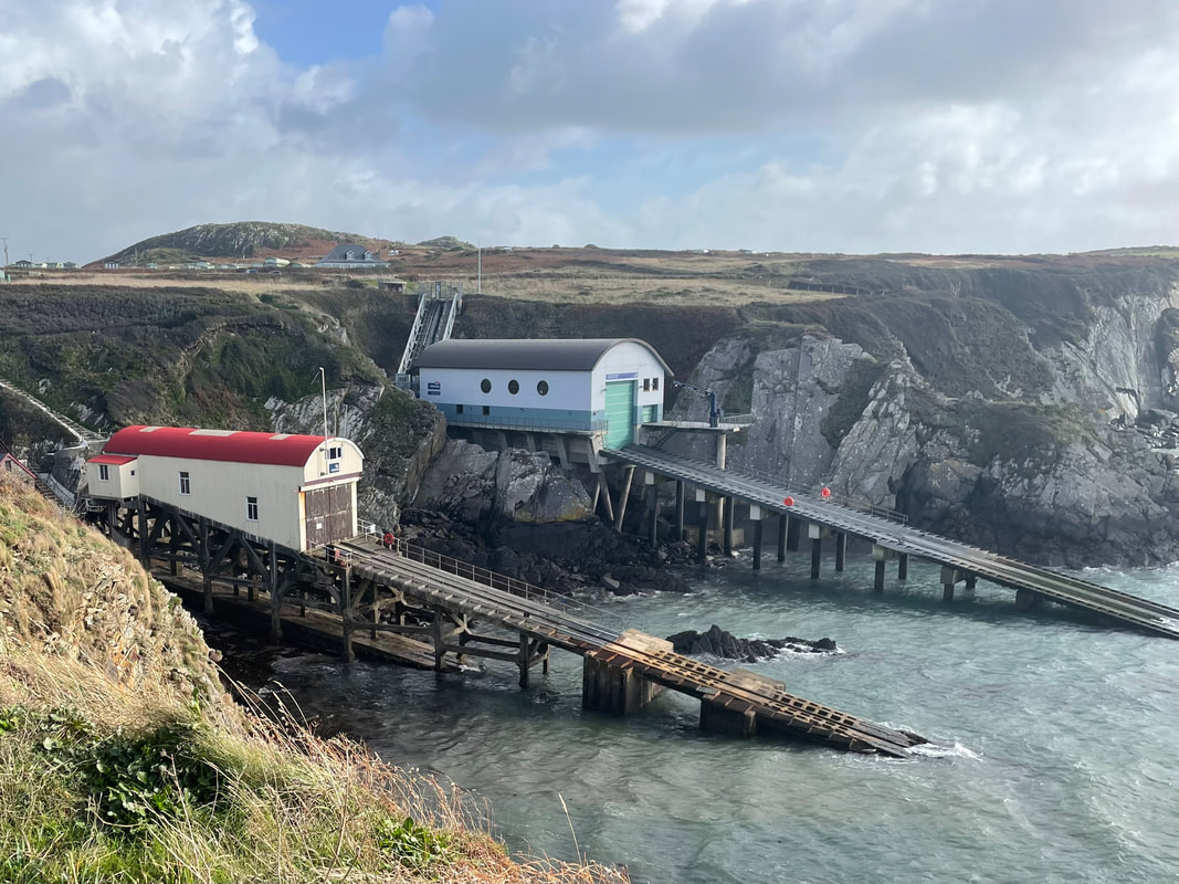
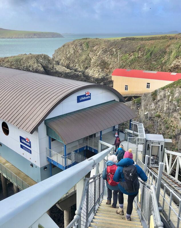
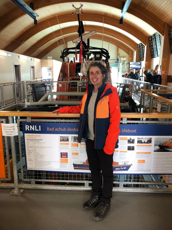
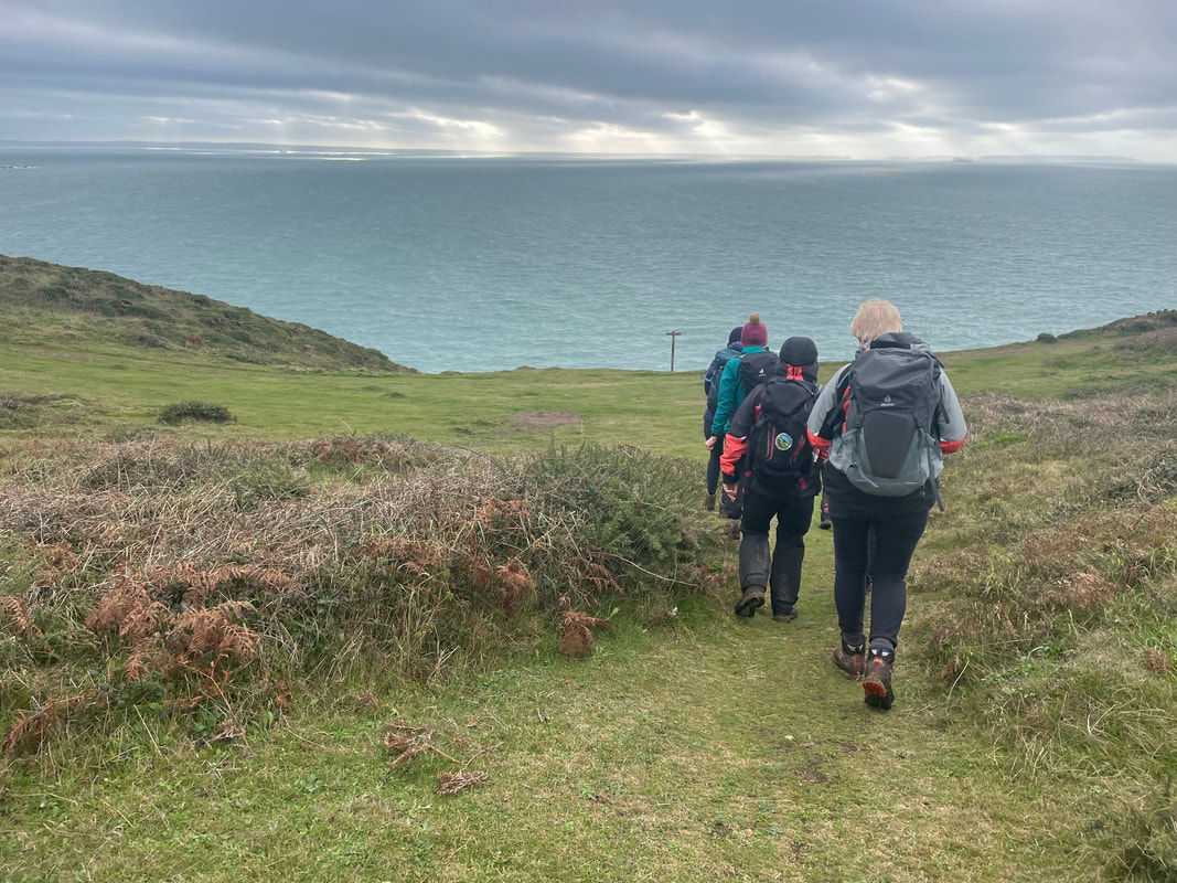
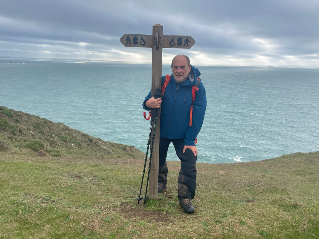
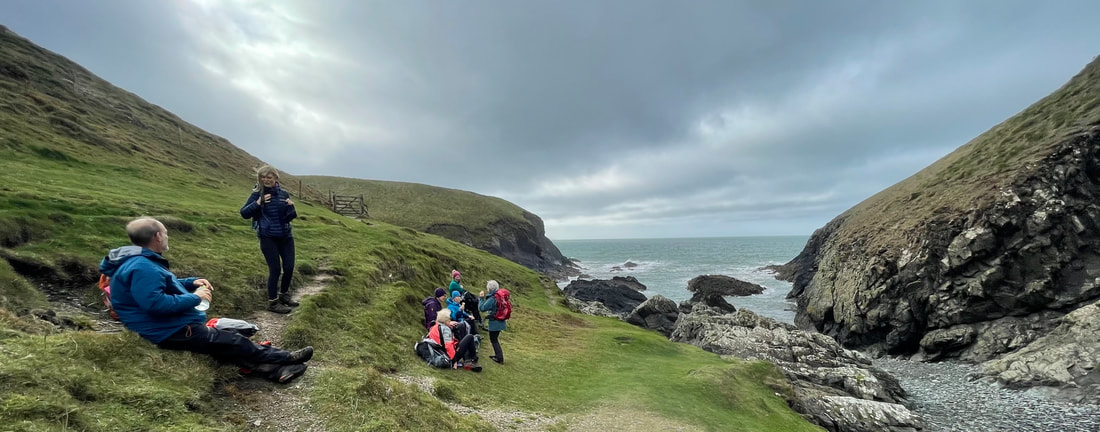
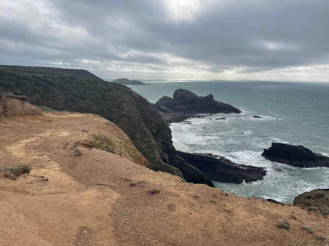
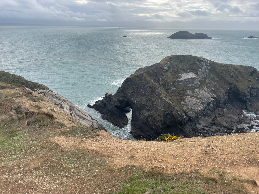
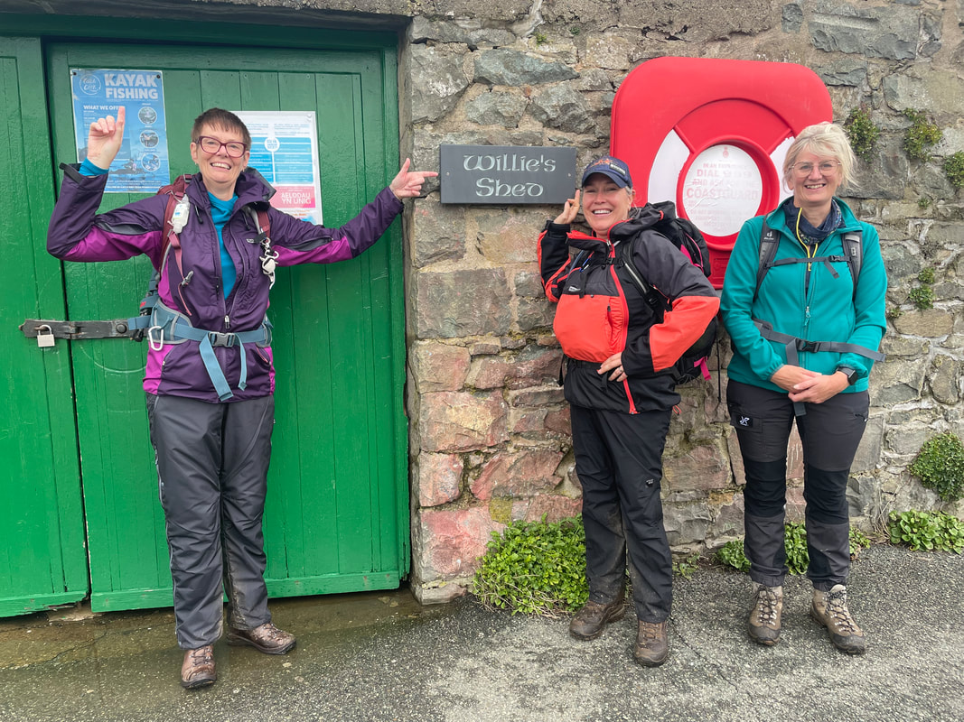
| Day 3 St. Justinian's and St. David's I had received a call the day before to say that the ferry to Ramsey Island had been cancelled due to high winds and causing 4-5m high swell. A pity, but we always have contingency and headed over to St. Justinian's in anywise as I knew a lovely coastal circular and a superb cove where we would be sheltered from the winds for lunch. The winds were such that we wouldn't be at risk on the coastal path. The sun shone and the sea looked spectacular. Views over towards Whitesands bay and Ramsey Island, no seals to be seen but very atmospheric all the same. The new Lifeboat Station was open to the public and provided an easy way of making donations by text to RNLI. Then a short trip into St.David's, a tiny but beautiful and historic city. At one time it was a bit down-at-heel but now seems more vibrant with a variety of shops. | 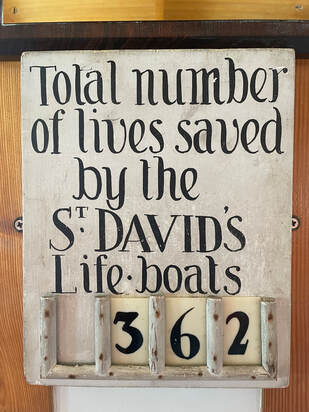 |


Day 4 Solva Circular
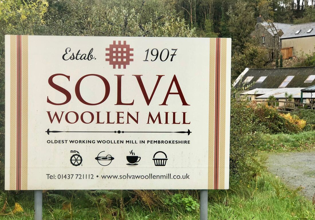
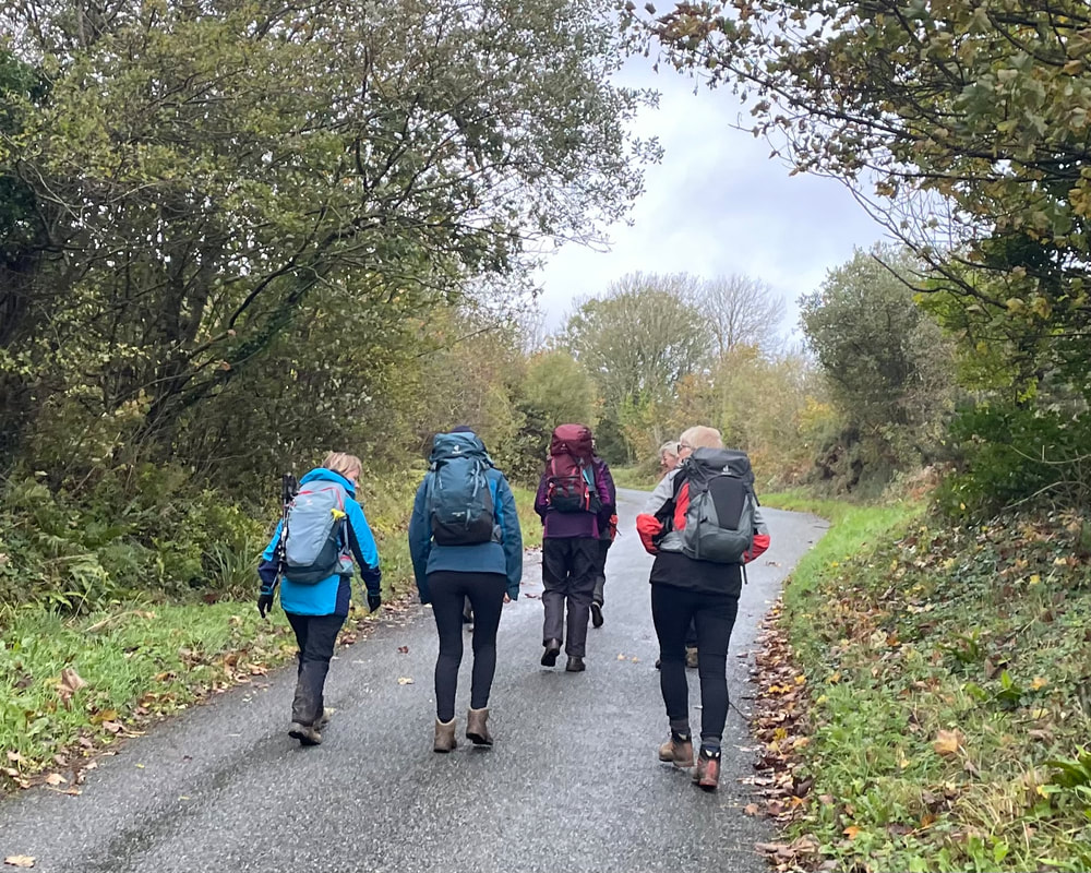
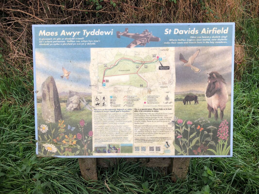
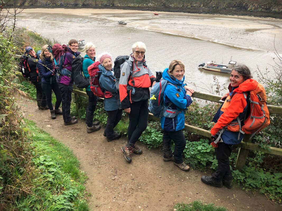
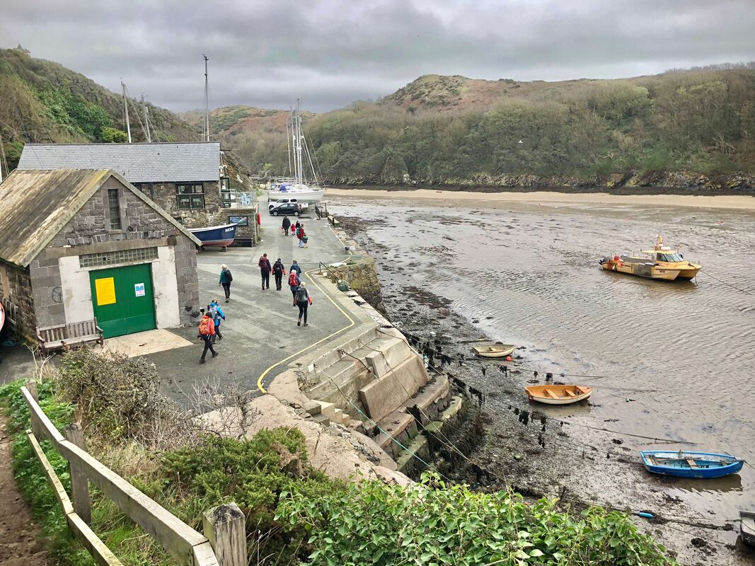
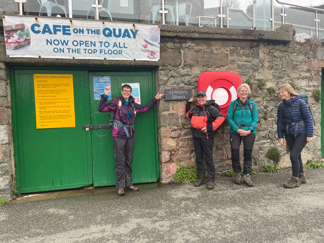
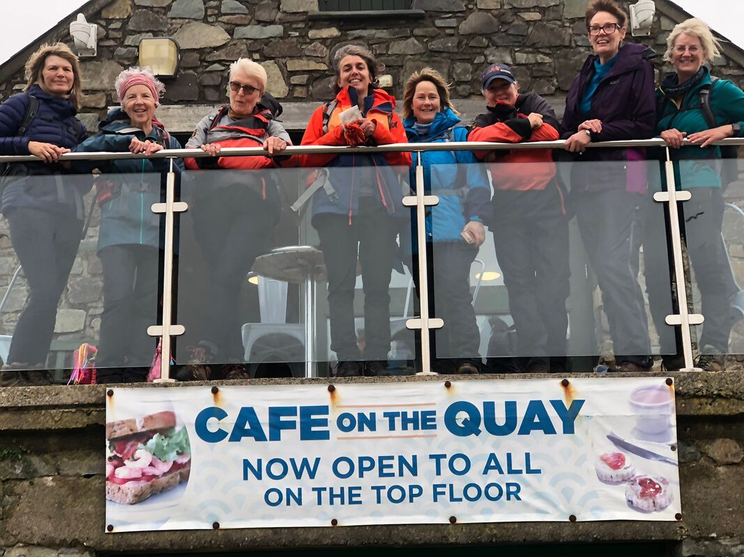
Another prompt start - all the group being ready and reliable. It was another dreary start but we were all raring to go. This was a logistically challenging day which I hoped would all fall into place, which thankfully it did. We parked at Solva Woollen Mill, having had advanced permission to park there all day and set off from here up the hill on the edge of the Solva valley, then taking a path around the perimeter of the disused St David's Airfield, we could then pick up a bridleway which would give us an easy and safe crossing across the busy A487. Then we could see the sea!! .. and the sun came out! We were ok for time too - I had booked 'The Cafe on the Quay' in Solva for lunch, submitting our preorder. The cafe had very kindly opened for us as since I arranged our booking they had decided to close on a Wednesday and Thursday. The food and service was spot on and the best coffee I've had in a long time.
We arrived back at the mill in plenty of time for us to browse and spend - I think it was well worth them having Bryn Walking parking there all day.


The walk was full of interesting features and a whole mixture of views and terrain - a really good one and the timings worked well.
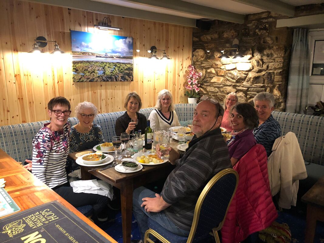
To finish a lovely day off and to make the last night special I had booked a meal at the Royal Oak in Newport. All went according to plan.
To finish a lovely day off and to make the last night special I had booked a meal at the Royal Oak in Newport. All went according to plan.
Day 4 A Day of Discovery
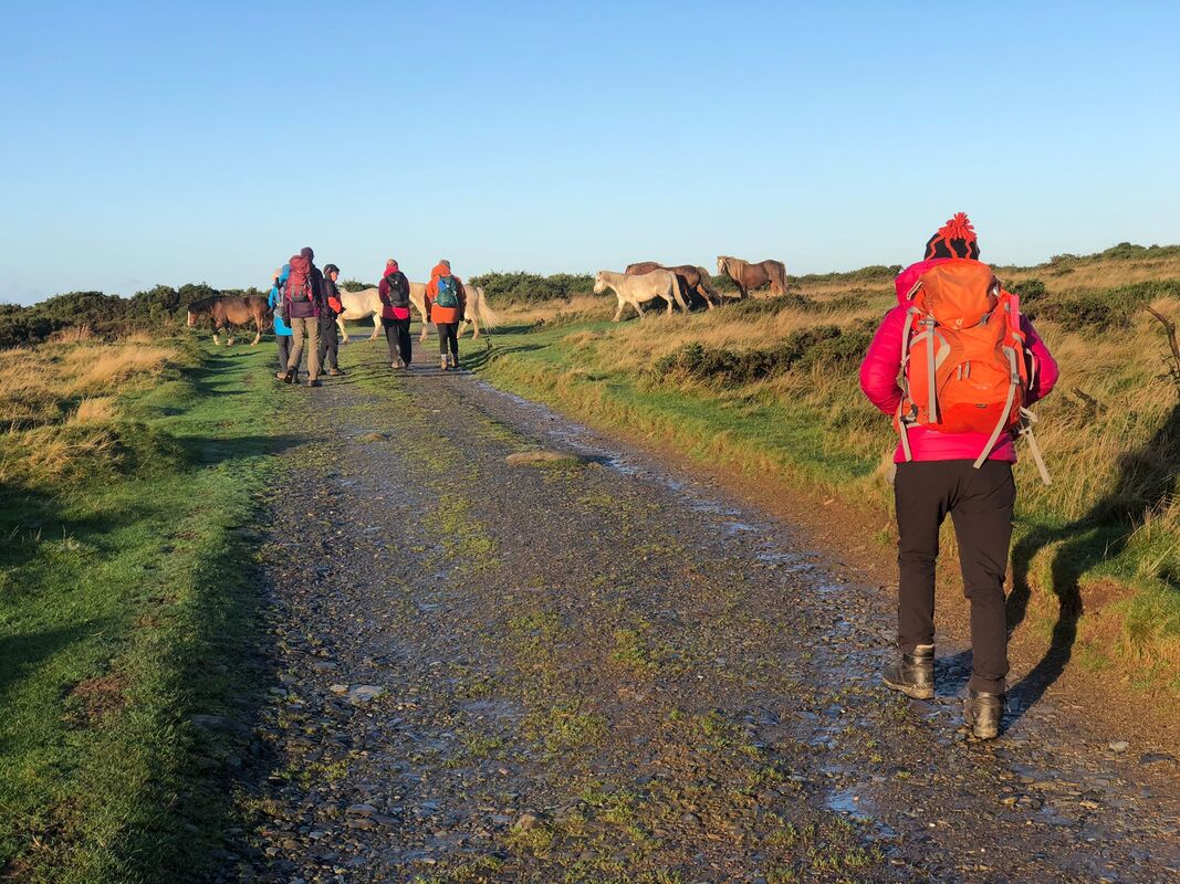
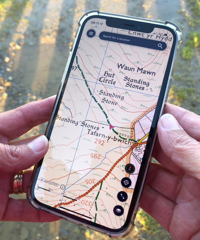
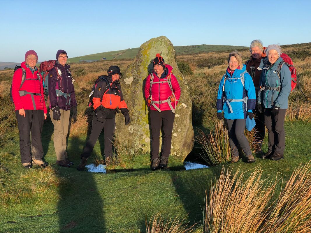
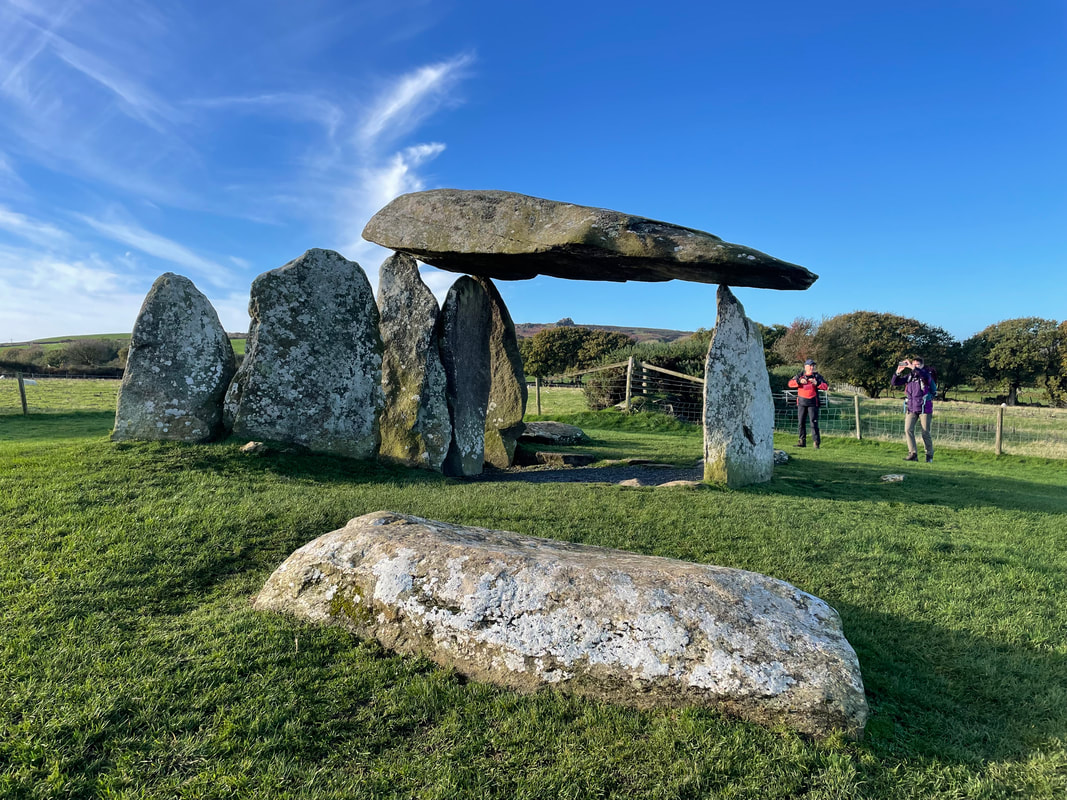
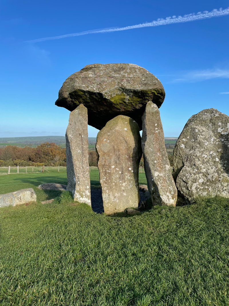
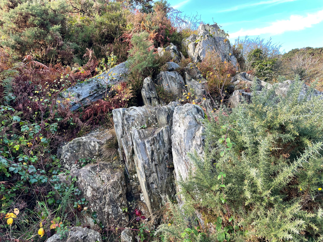
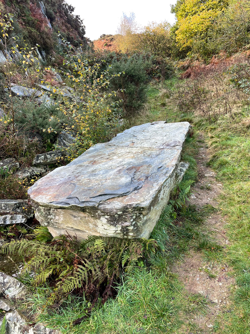
We checked out at 0830 and all met up at Bwlch-gwynt, piled into my bus and trundled back down the road to Tafarn -y-bwlch. We wanted to find the original site for Stonehenge - and we did!! The whole hill Waun Mawn (339m) is very spiritual and mystical. The bright rising sun, long shadows and wild ponies all contributed to the atmosphere - none of us really wanted to leave. Then on to Pentre Ifan Burial Chamber - a well preserved 5000 year old tripod of massive stones. It's very impressive. Coffee stop here before driving on to Craig Rhosyfelin where at least one of the blue stones at Stonehenge originates along with 1200 loose stone chipping found in the ground at Stonehenge. This site feels otherworldly and certainly a place of significance. The rocks, just like up at Carn Goedog have natural weaknesses that were exploited so that obelisk shaped pieces could be prised off.
Back up at Bwlch-gwynt we said our good byes and everyone headed home.
Thank you to everyone involved for making this a superb week.


'til next time
Markha Valley 8 day Trek - Ladakh - India
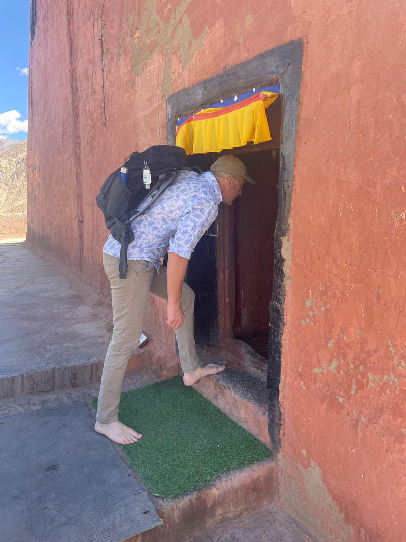
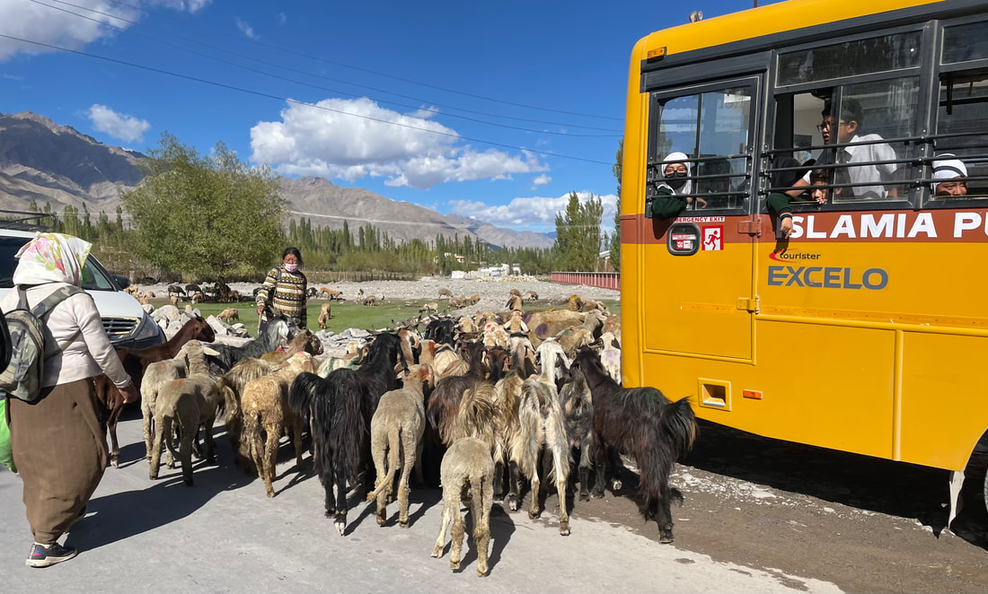
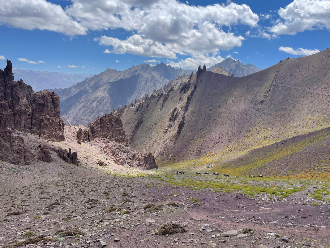
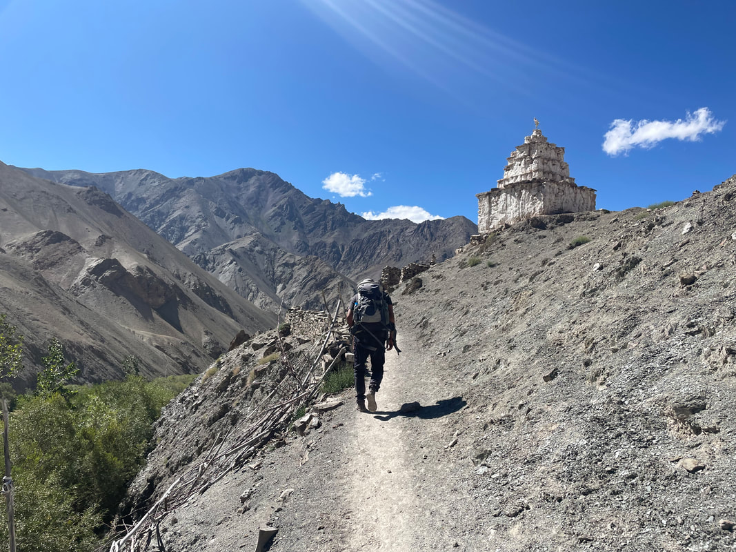
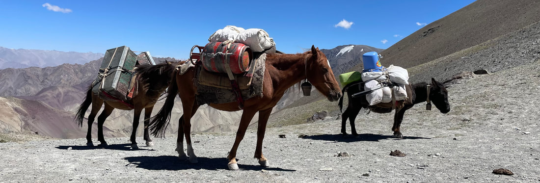
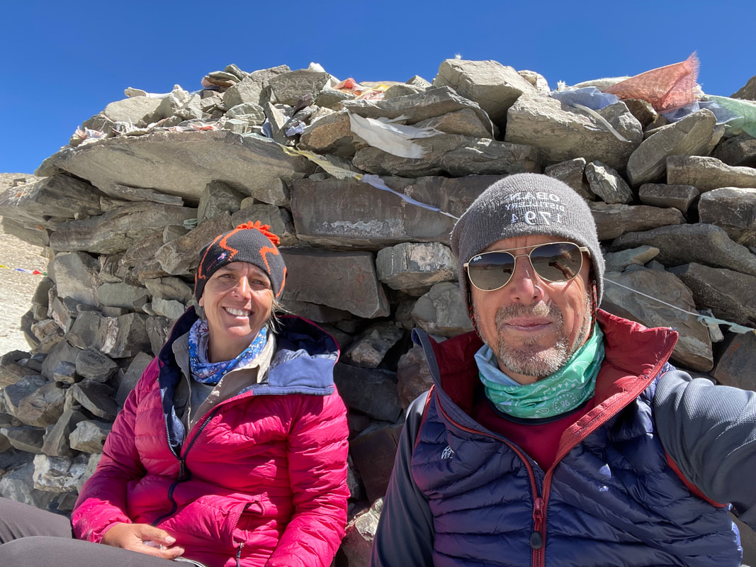
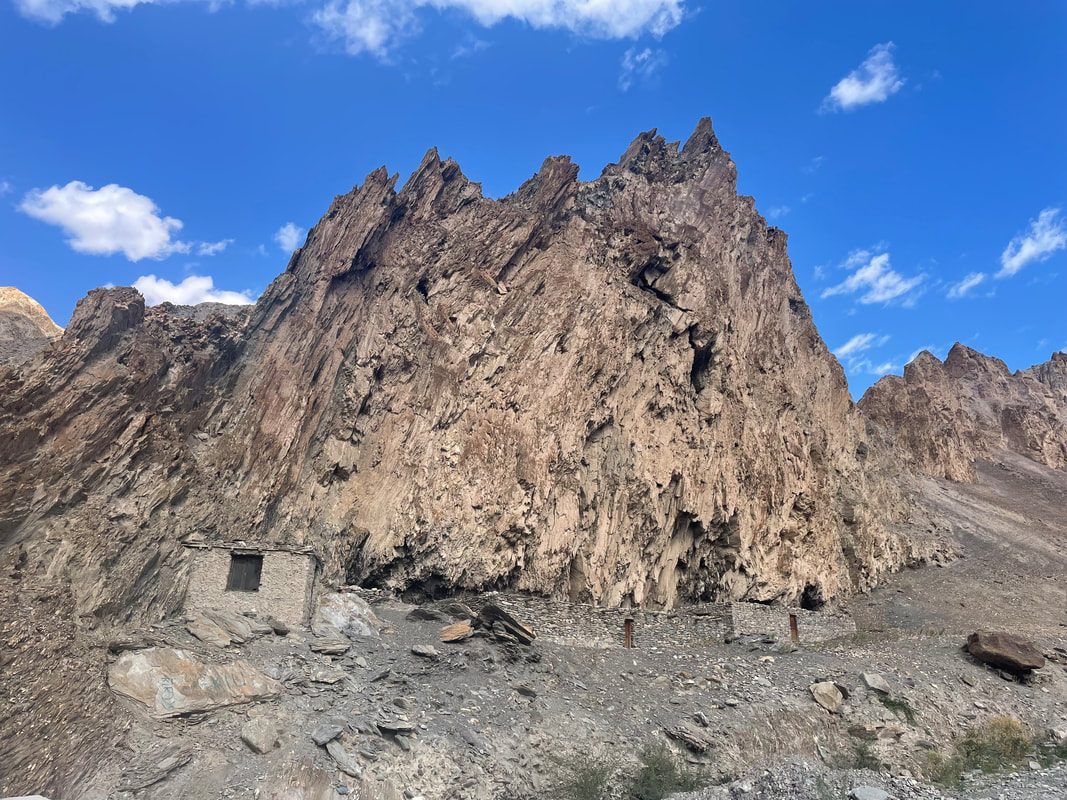
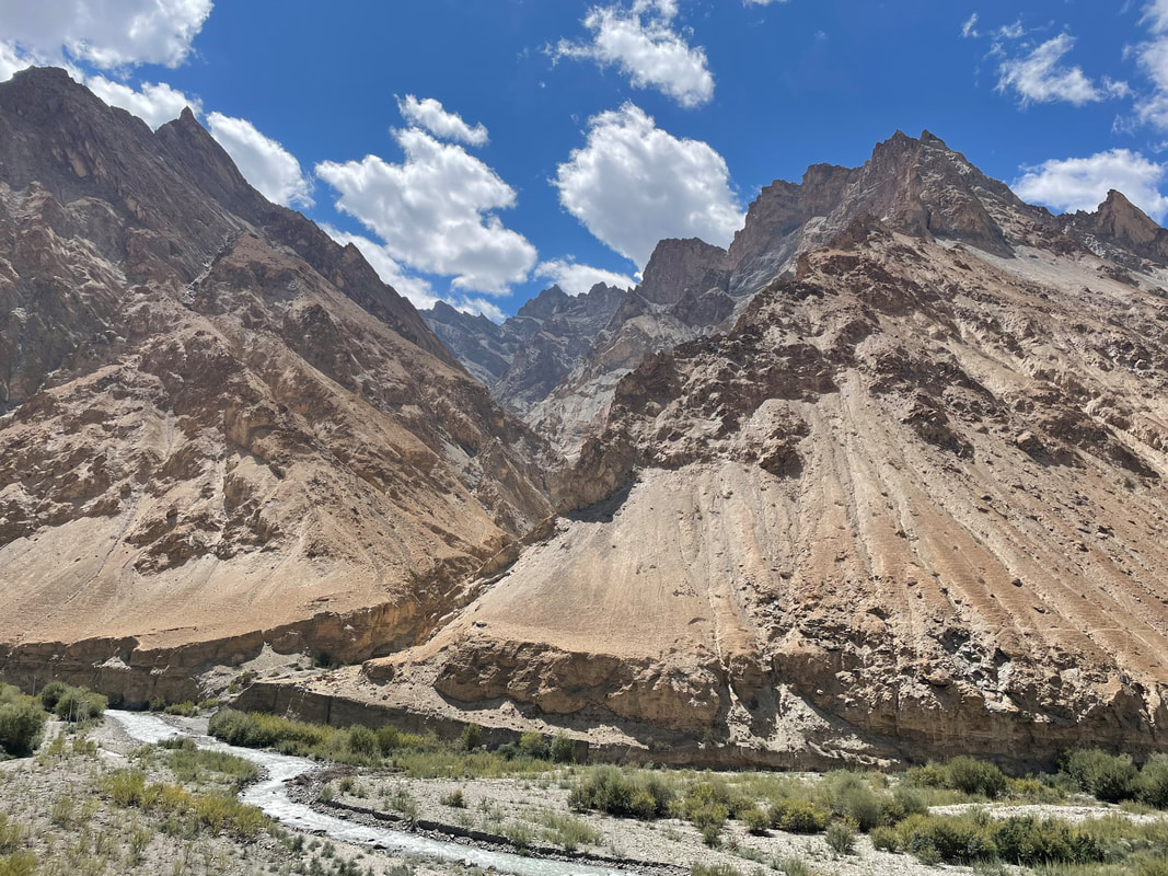
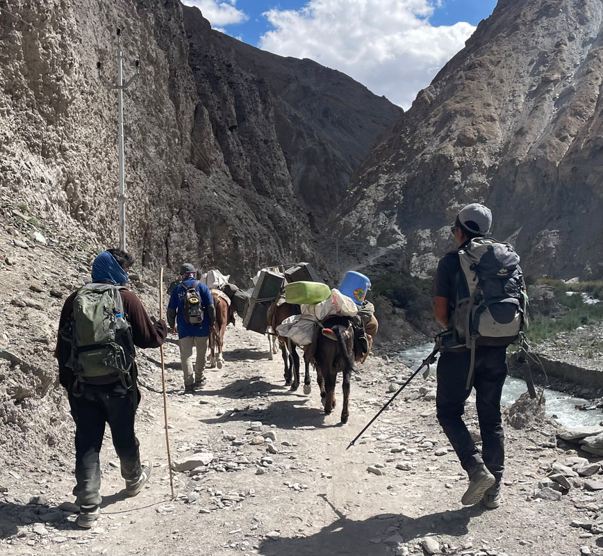
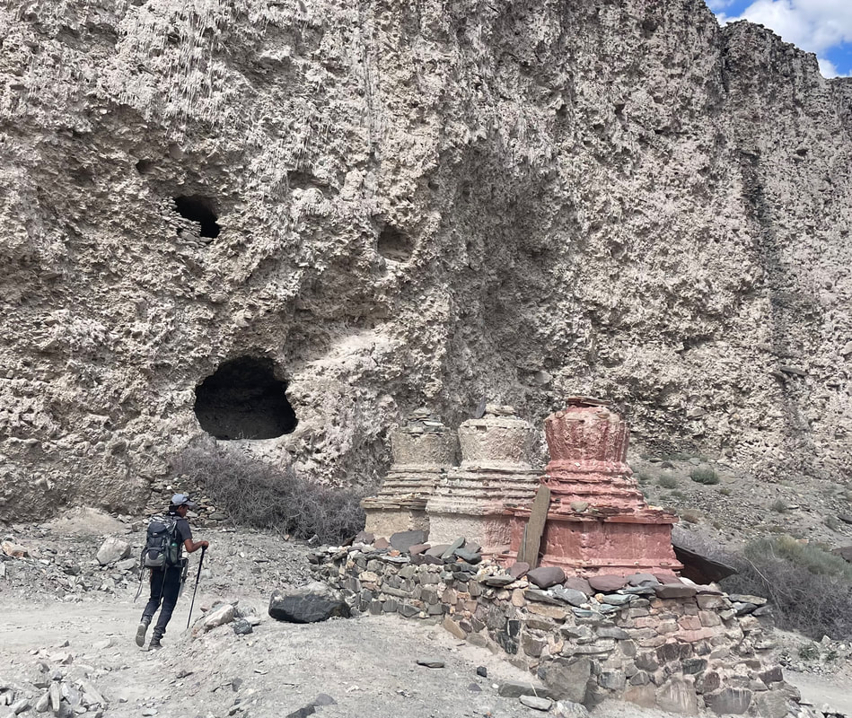
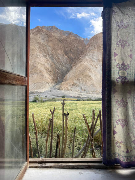
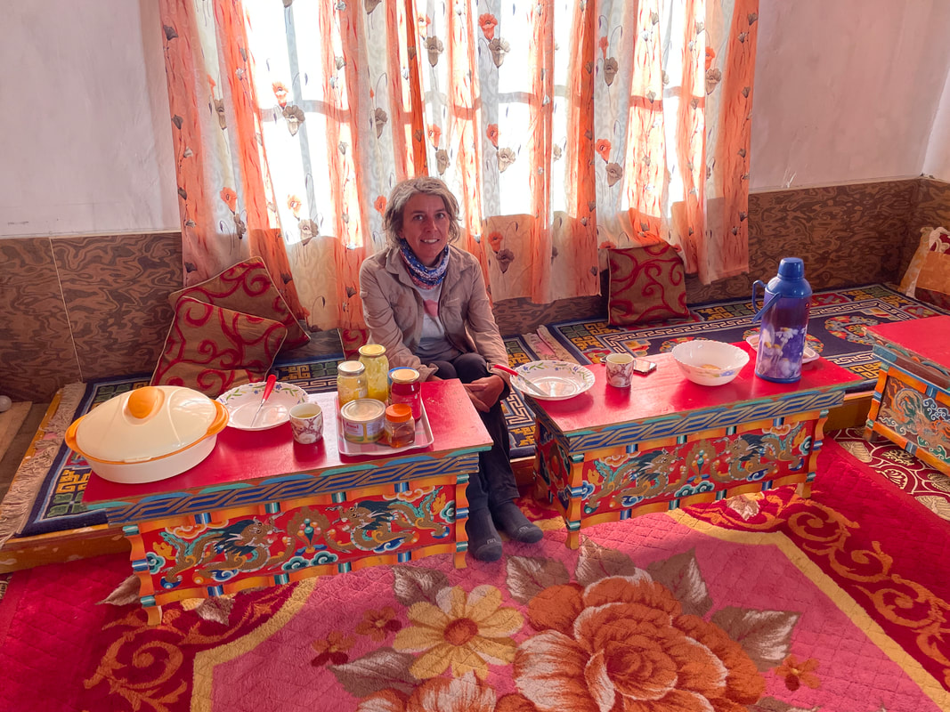
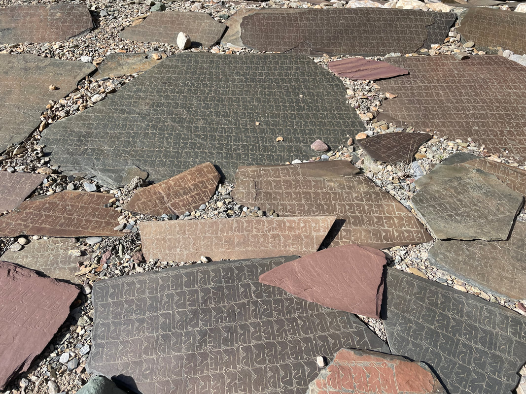
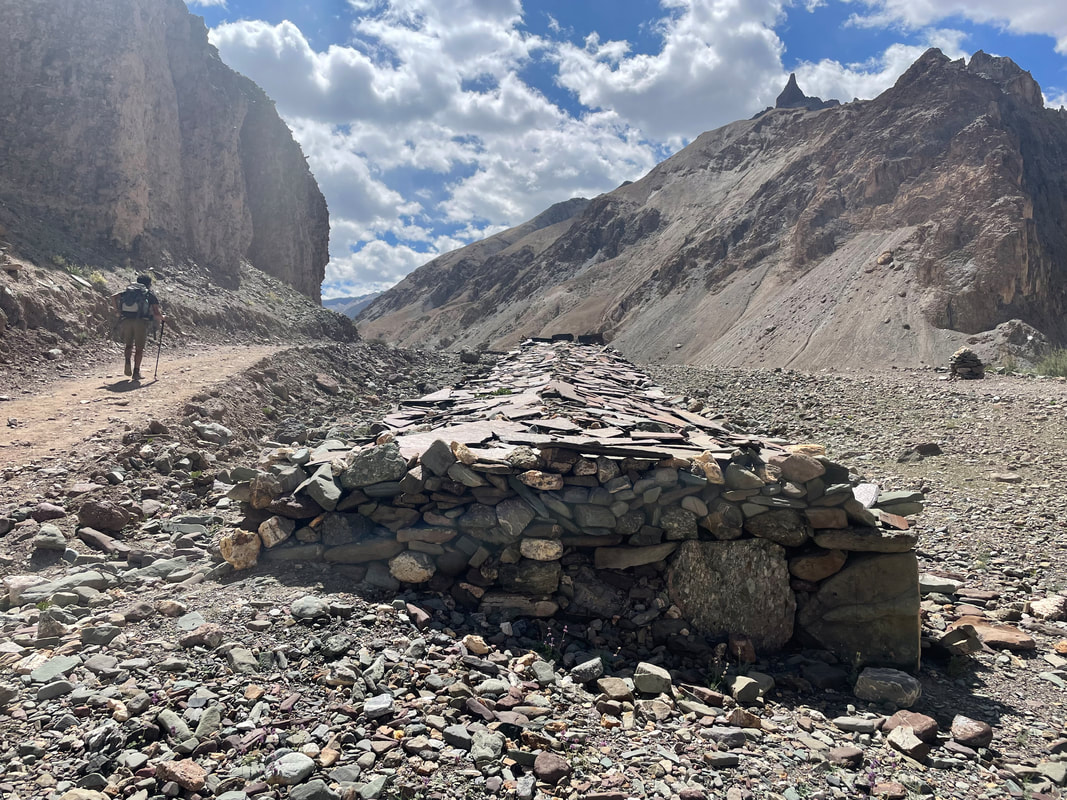
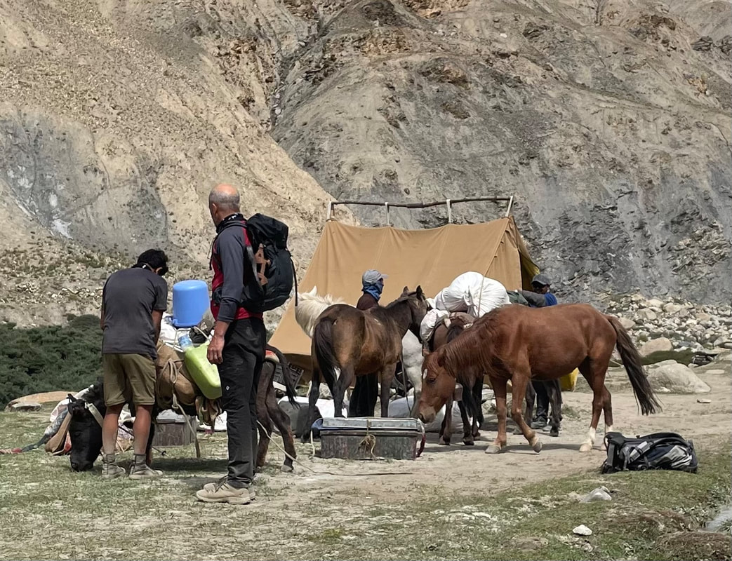
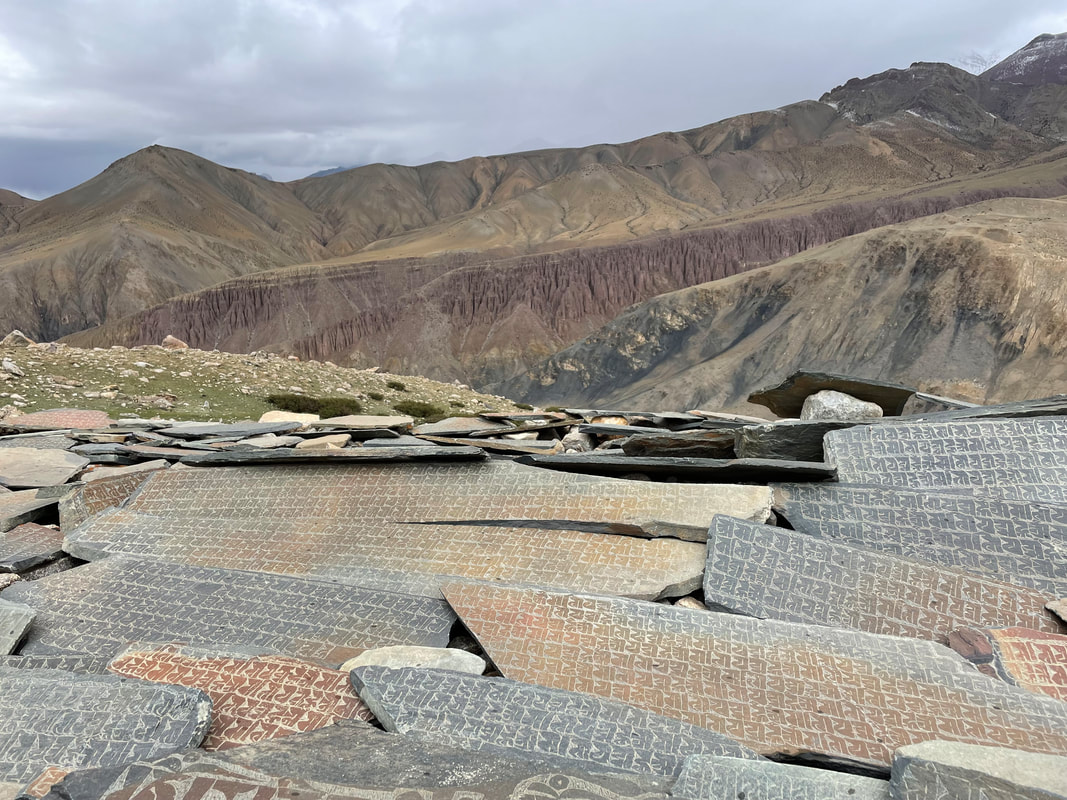
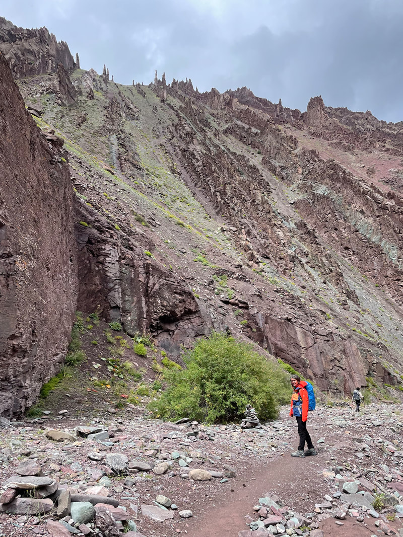
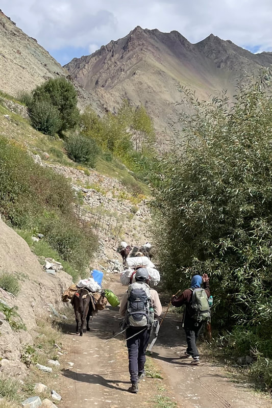
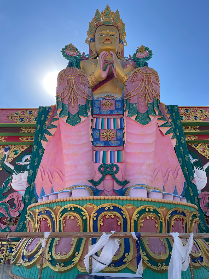
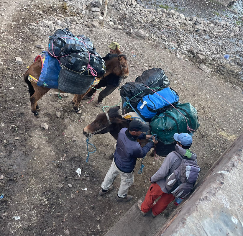
This was a private trek for me and my husband James, provided by Dreamland Trek and Tour. Alan Ward prepared an itinerary with Dreamland for us that included the hotel stays pre and post trek. Our crew was: a guide, a cook, a pony man, 5 ponies and 1 donkey. We carried our day packs (35ltr rucksack). We were given excellent pre-trek information such as kit lists for both day pack and kit bag, what food to expect on trek and advise for the altitude. The route is remote, the first 2 days especially so; the scenery is breathtaking - the amazing geology and the wild flowers; the Tibetan Buddhist culture surrounds you with stupas, gompas, mani walls and prayer flags - it's so much to take in, you want to come back as soon as you leave.

| Getting to Leh We flew by Vistara Air LHR to DELHI and DELHI to LEH. We weren't disappointed. All the flights were without hitch and the service and food was to a high standard. We were picked up at Leh airport and taken to the Dreamland Trek and Tour office where we met Javeed, the owner, and we confirmed the itinerary and added a road trip post trek. We had 3 days to acclimatise in Leh before we started the trek. |  | 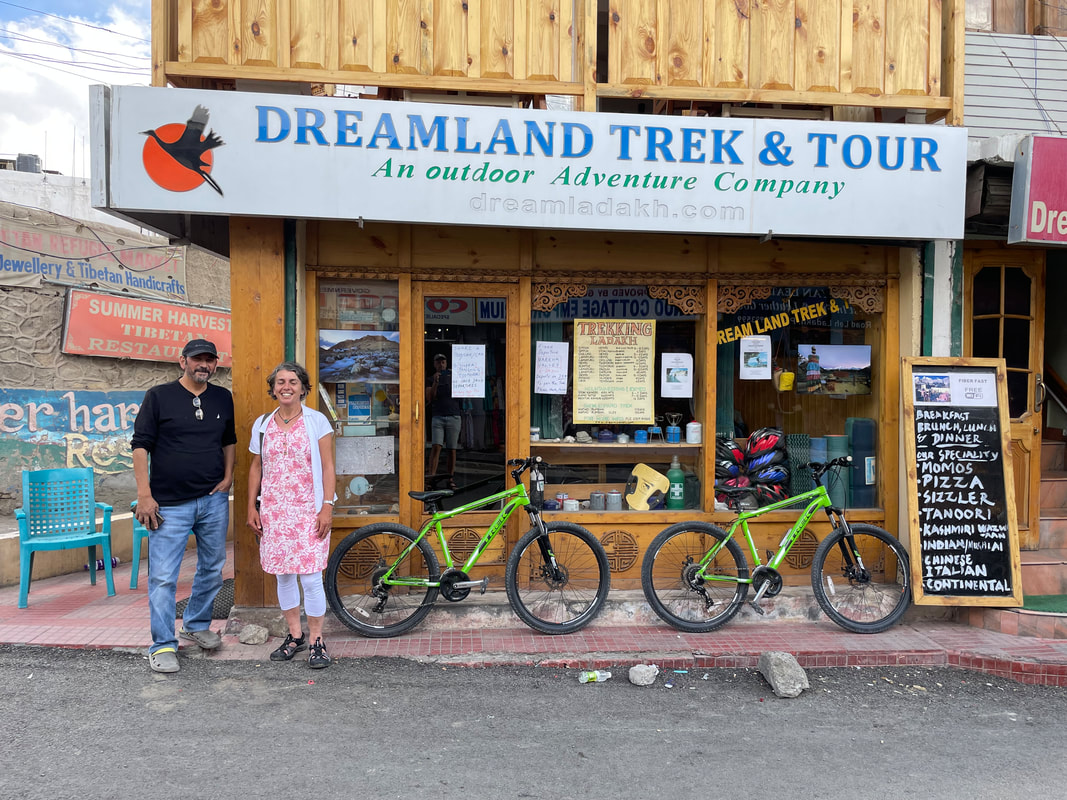 |
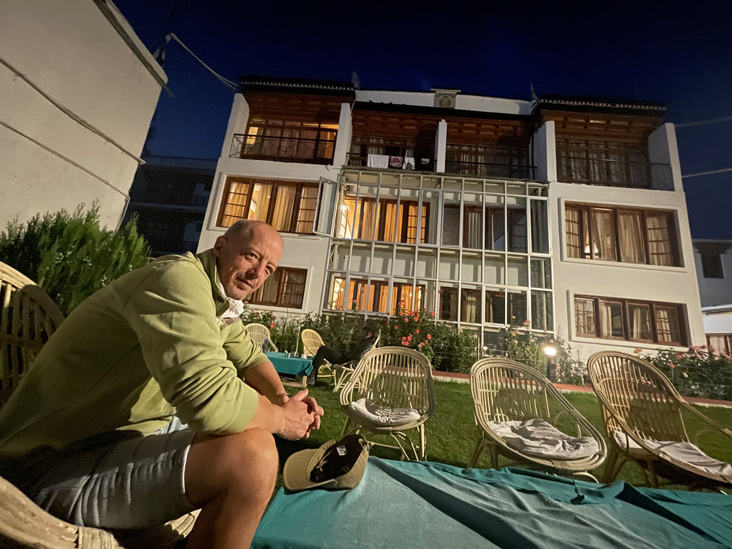
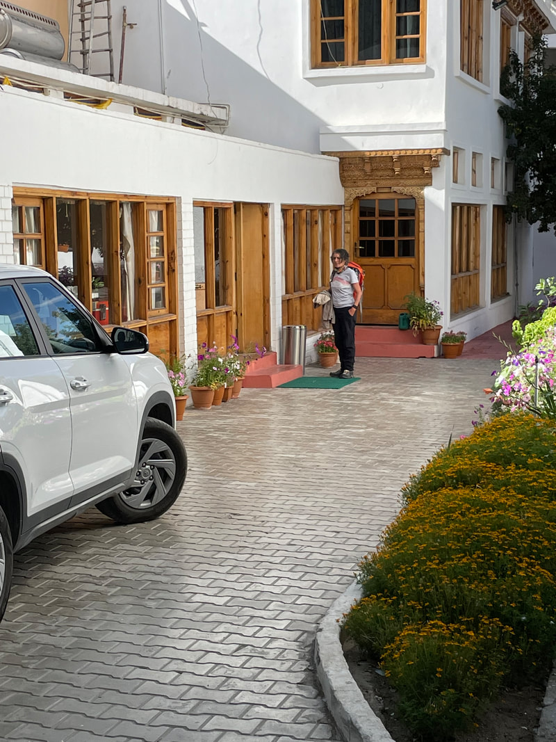
The Hotel - Omasila
Great accommodation and obliging service. Our room (pre- trek) had a fabulous view of Stok Kangri (6123m).
Great accommodation and obliging service. Our room (pre- trek) had a fabulous view of Stok Kangri (6123m).

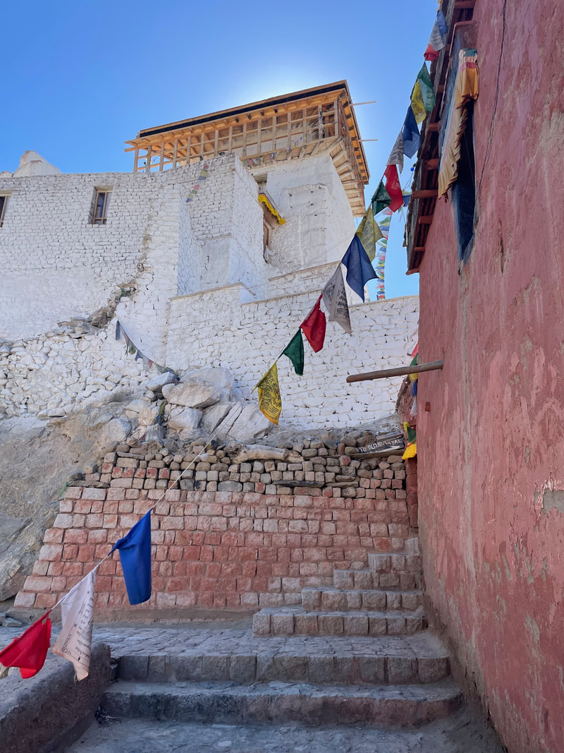
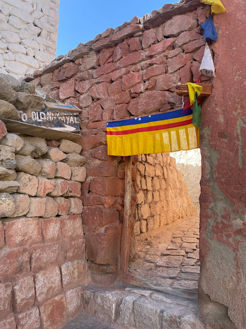
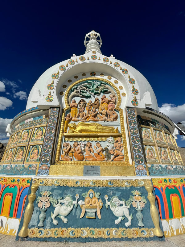
Leh - Namgyal Tsemo Monastery and Shanti Stupa
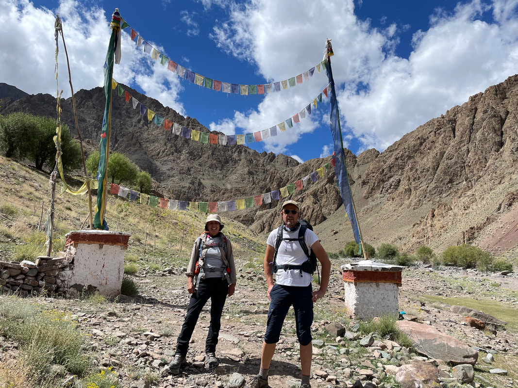
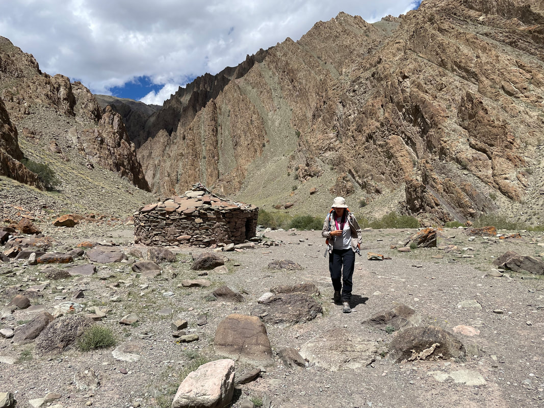
Acclimatisation Walk - Matho valley


The Trek
TREK DAY 1 Stok to Changmar
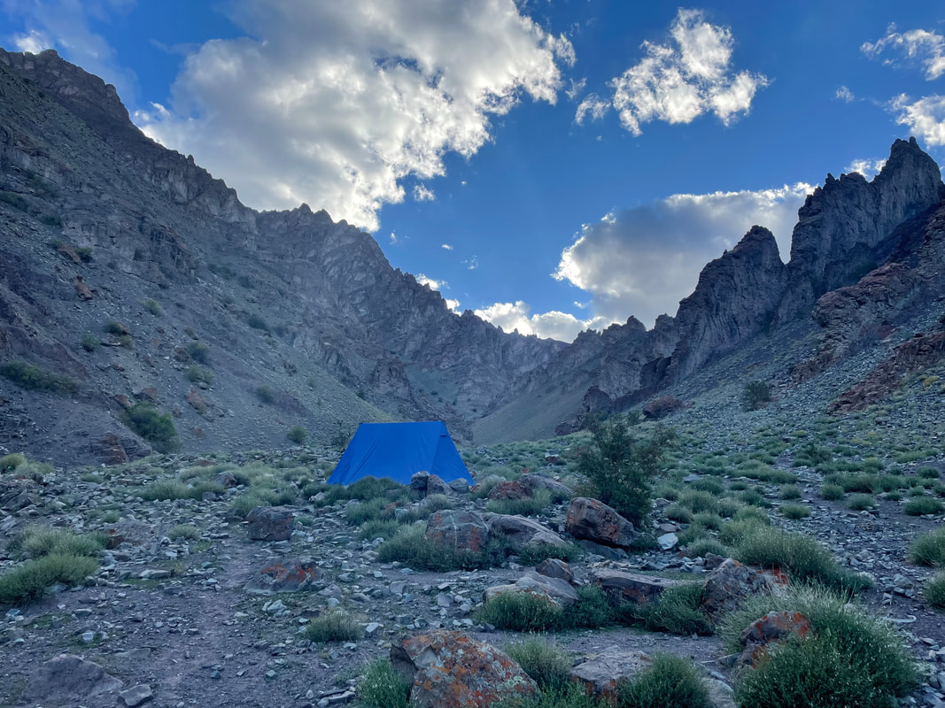
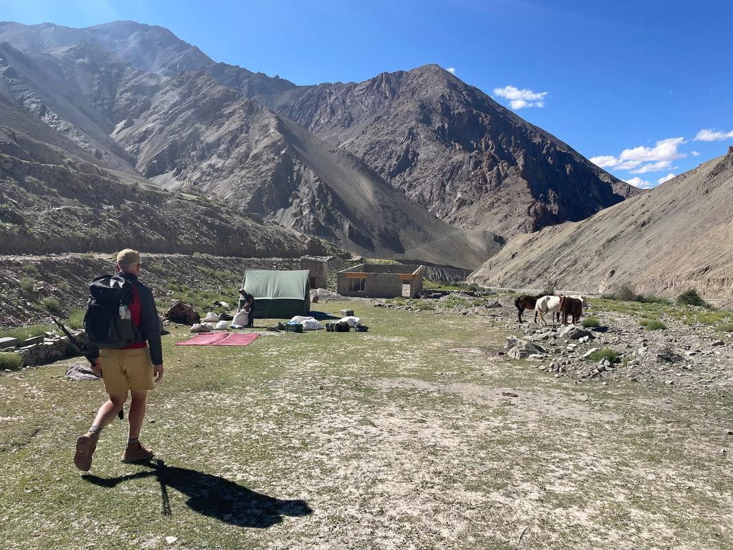
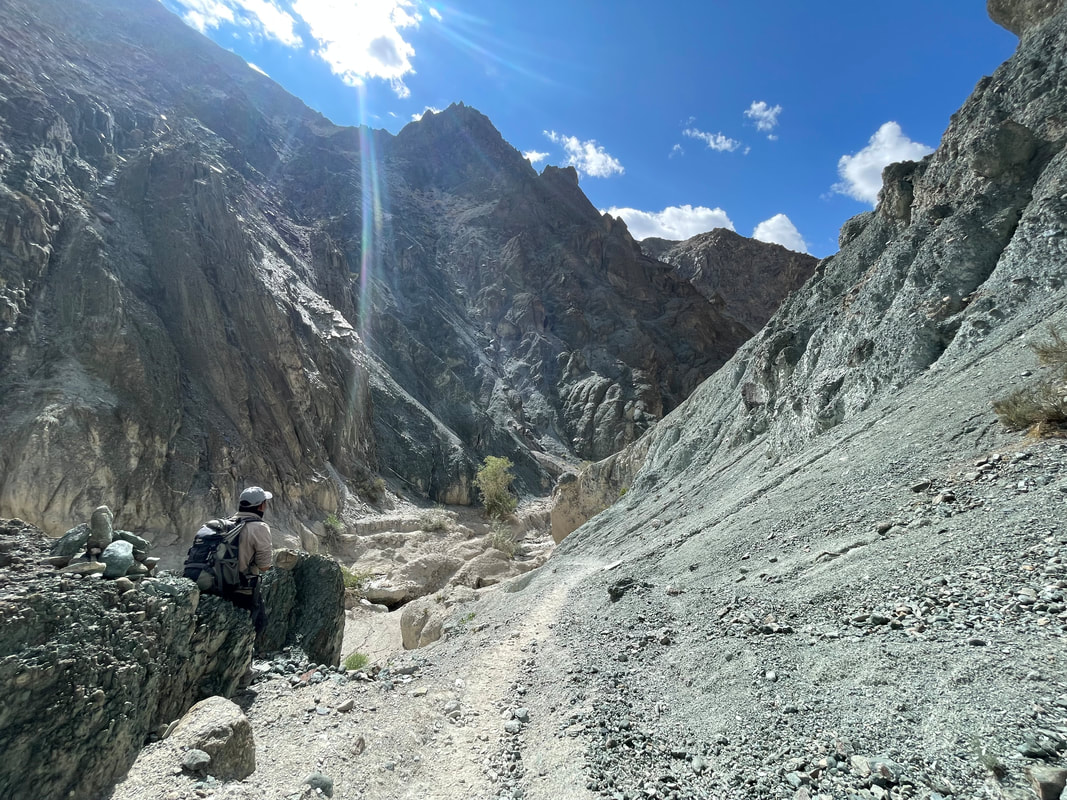
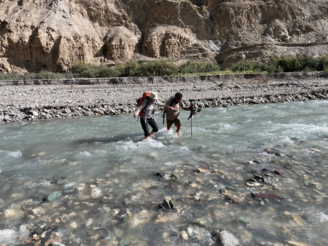
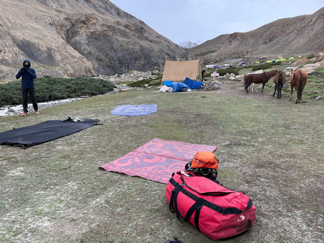
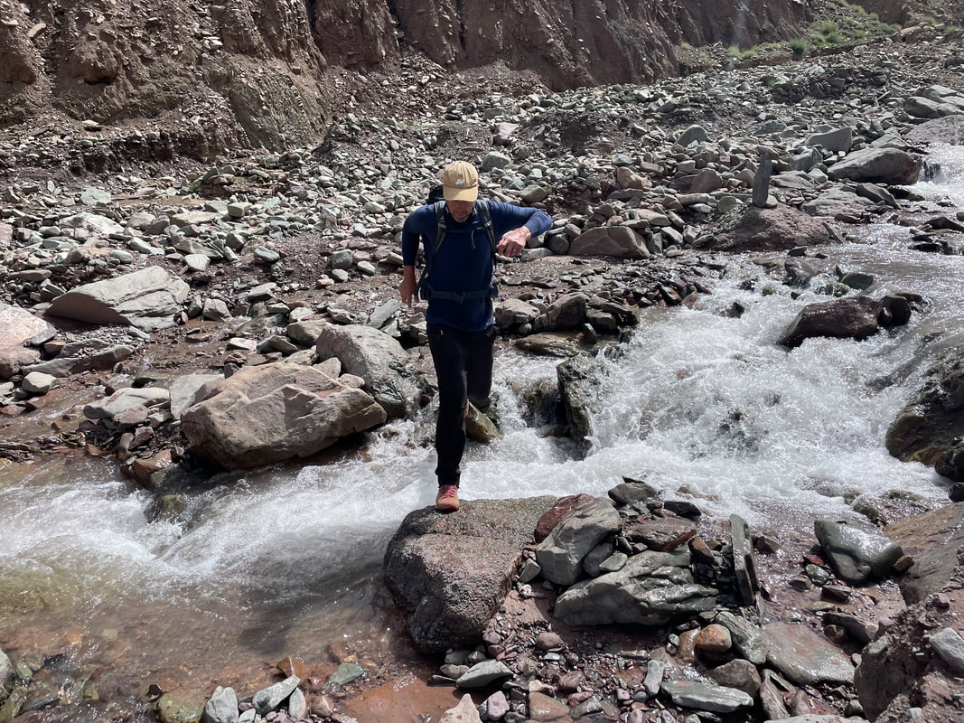
Picked up at 0815 and driven to Javeed's office. We met the cook. The driver couldn’t get the boot open, it caused a lot of commotion. We were driven to Stok to the start of walk and waited for the ponies and pony man. It was up from the start but gentle and quite hard going because of the thin air. We had to a cross river twice because the water was high and we couldn’t get round the bank. The water was so so cool and the current very strong and it was up to my knees. Idga steadied me and I had found a stick. Then only metres on we had to cross again. No stick this time, higher and very strong , I thought I’d be sweep off my feet and clung onto Idga, I couldn’t see where my feet were going at all. It was all very fun. We found some shade for lunch and we were more than half way. There were many different flowers which I couldn't identify but I took photos. The smell of the flowers is very strong. We got to the camp at about 1500. Idga put mats in the shade for us by the river. Wasn’t long til the pony’s arrived and they set-to making camp, highly organised. We were then brought tea on a tray! Unbelievable - it felt embarrassingly colonial.
Dinner was:
Mushroom soup,
Dahl and Veg curry
Altitude of camp: 4000m
Trek distance: approx 12km
Total ascent: unsure
Trek time: 4hrs

TREK DAY 2 Changmar to Rumbuk via high pass Stok La (4870m)
This was our typical time table for each morning:
0630 Bed tea and Washing water
0700 Breakfast
0750 Ready to go
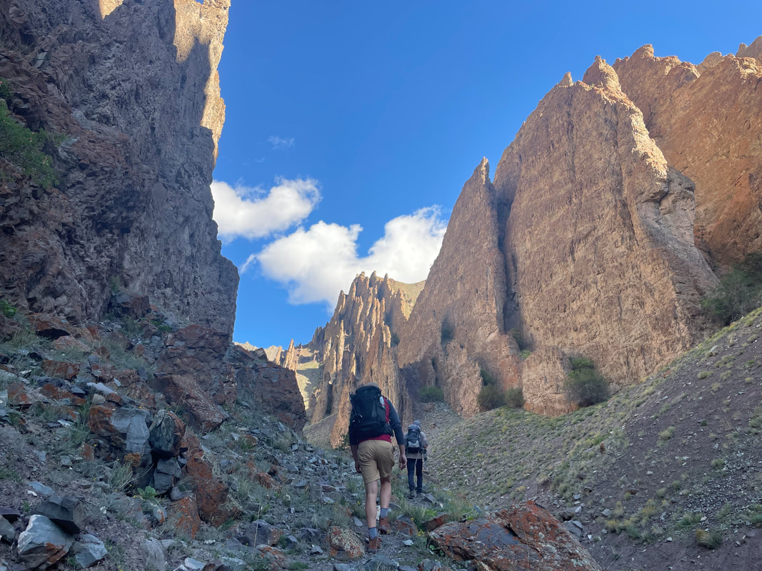
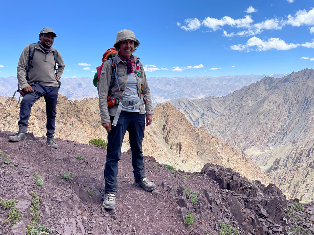
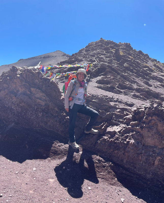
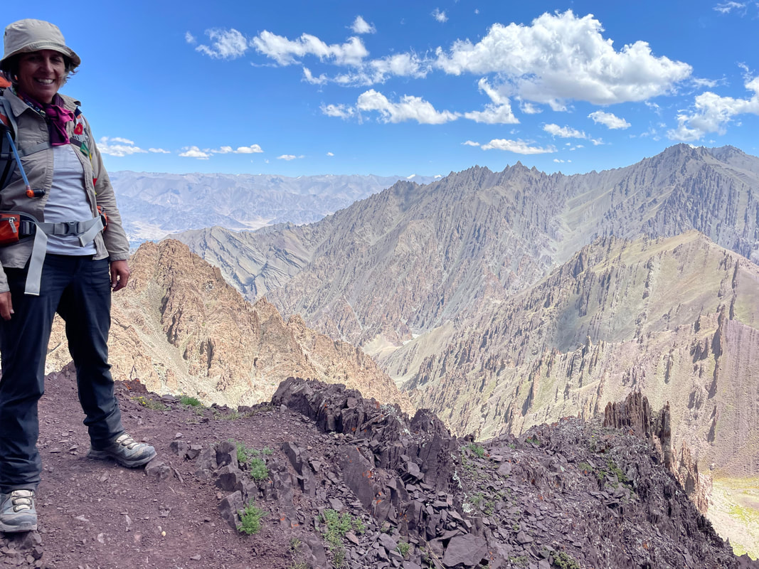
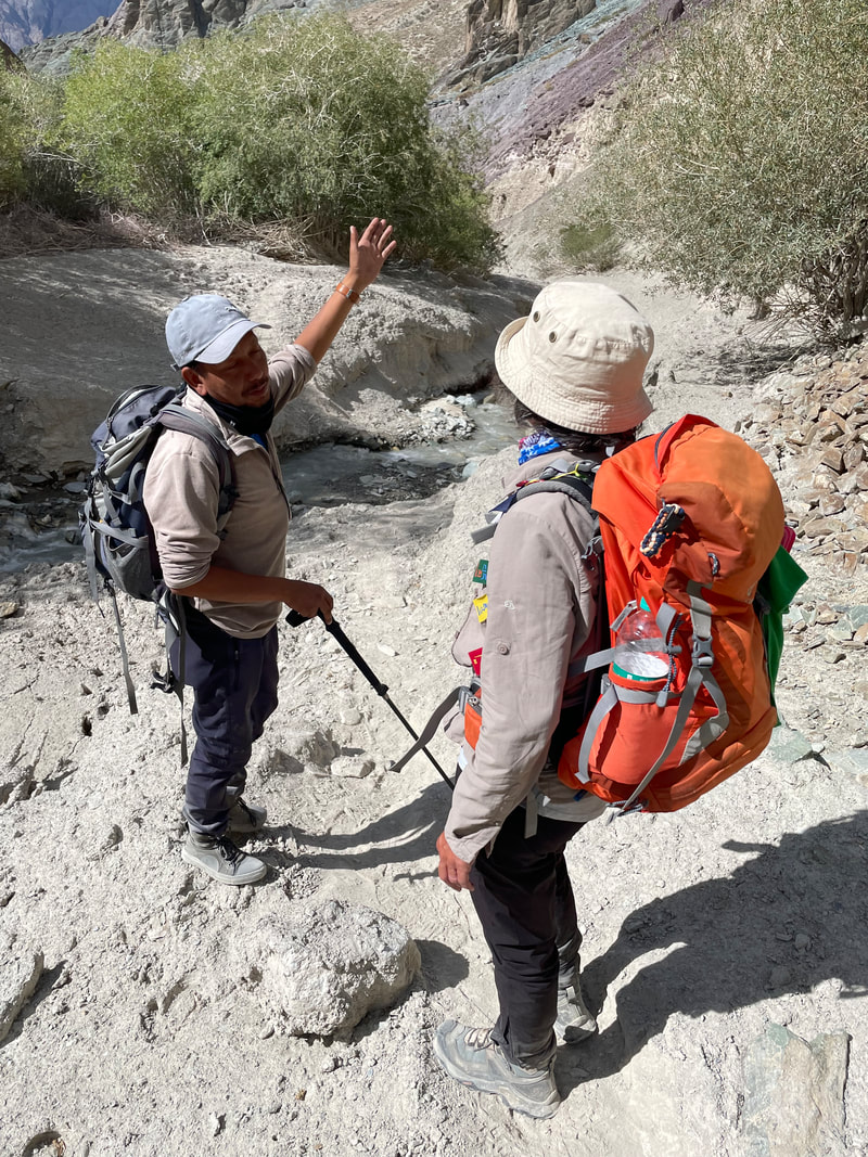
It was fairly hard going, and got steeper and steeper. Our guide tried a shorter route but it was badly eroded so we had to turn back. It was up and up to the very top of two valleys, zig zagging. We saw more blue sheep and an eagle. The paths were sometimes very loose, fairly steep and very narrow, traversing across expansive steep slopes. We reached the first high pass 4807m, the views from here were magnificent, and then we contoured round the head of the adjacent valley and then more zigzags up to Stok La 4870m where there were lots of Prayer flags. We had lunch here. Idga put up some new prayer flags up and shouted a prayer on arrival. The way down was initially very steep and very loose but we made it quick - we were soon at Rumbak. James was suffering badly from firstly the ascent but also the sun on the descent. Idga put our mats by the stream and we rested there in the shade (awaiting tea and biscuits). I put my feet in the freezing cold stream which was very nice. I got James to use my cooling towel and we discussed options for tomorrow - whether he could be picked up or to carry on. I reiterated to him about sun cream and keeping covered ie wearing trousers.
It soon got cold and dinner was ready at 6pm. I found the toilets but didn’t realise it was a 2 story building and tried to enter on the ground floor only to see an enormous pile of poo - Upper floor always best option, lesson learnt.
Dinner was:
Pop corn
Chips
Noodles
Curried eggs in tomato sauce
Apple fritters
The Cook cooked me a noodle stir fry
Altitude of camp: 3901m
Trek distance: approx 13km
Total ascent: 890m
Trek time: 7.5hrs
This was our typical time table for each morning:
0630 Bed tea and Washing water
0700 Breakfast
0750 Ready to go
It was fairly hard going, and got steeper and steeper. Our guide tried a shorter route but it was badly eroded so we had to turn back. It was up and up to the very top of two valleys, zig zagging. We saw more blue sheep and an eagle. The paths were sometimes very loose, fairly steep and very narrow, traversing across expansive steep slopes. We reached the first high pass 4807m, the views from here were magnificent, and then we contoured round the head of the adjacent valley and then more zigzags up to Stok La 4870m where there were lots of Prayer flags. We had lunch here. Idga put up some new prayer flags up and shouted a prayer on arrival. The way down was initially very steep and very loose but we made it quick - we were soon at Rumbak. James was suffering badly from firstly the ascent but also the sun on the descent. Idga put our mats by the stream and we rested there in the shade (awaiting tea and biscuits). I put my feet in the freezing cold stream which was very nice. I got James to use my cooling towel and we discussed options for tomorrow - whether he could be picked up or to carry on. I reiterated to him about sun cream and keeping covered ie wearing trousers.
It soon got cold and dinner was ready at 6pm. I found the toilets but didn’t realise it was a 2 story building and tried to enter on the ground floor only to see an enormous pile of poo - Upper floor always best option, lesson learnt.
Dinner was:
Pop corn
Chips
Noodles
Curried eggs in tomato sauce
Apple fritters
The Cook cooked me a noodle stir fry
Altitude of camp: 3901m
Trek distance: approx 13km
Total ascent: 890m
Trek time: 7.5hrs


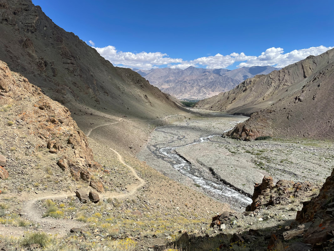
TREK DAY 3 Rumbuk to Shingo via high pass Ganda La (4960m)
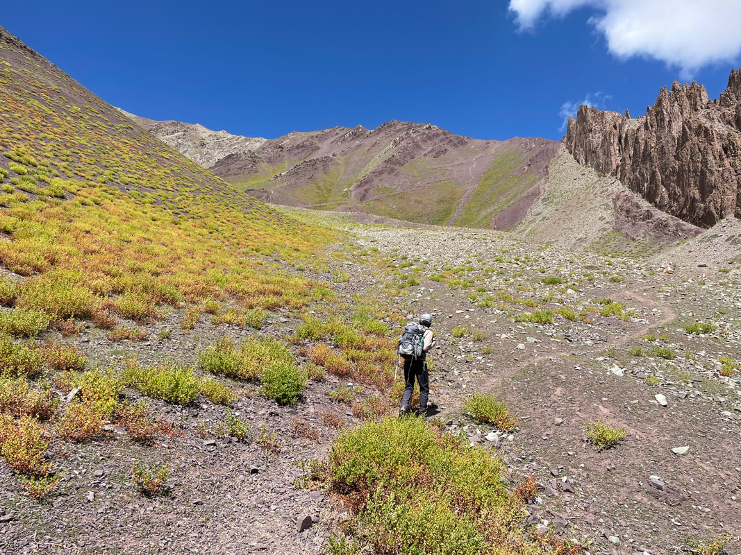
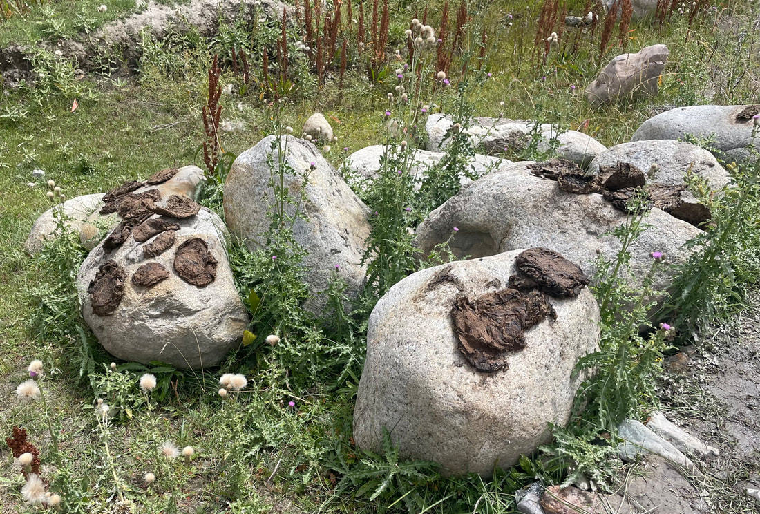
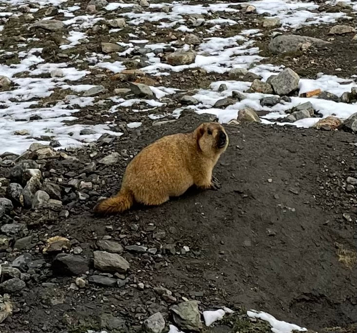
| Just before 0630 bed tea, we had already started to pack like we did yesterday. 0700 Breakfast Breakfast was: Porridge with honey Pancakes Omelette A very cool start. James had slept well and decided to continue. The other option would have been to wait for a car to pick him up (Rumbak had road constructed 1 year ago) and rejoin us at Skyu, therefore missing two days. A short steep path lead us to the path to take us round into another valley, breathtaking. Then we came down to cross the river, I had to do a massive leap with Idga’s help (think - Giselle!). Shortly we came to the tiny village Yurutse where there is a home stay. They dry out the cow pats for heat in winter as it drops to -25C. Up and up then but steady to a camp Changma where up until covid there was a tea hut. Stok Kangri comes into view behind us - fabulous. The path increases in steepness after this. We saw a marmot (I could tick that off). The colours in the valley are amazing reds, copper greens, creamy muds. On reaching the next camp we had a longer break. The sun’s heat was increasing. Steep now turning left up a valley to Ganda La base camp (empty) and taking the path that sweeps round to the right and zigzags initially before levelling out slightly. We saw yaks and dzos (a hybrid of Yak and cow) and then then the pass with prayer flags coming into view. Six marmots on the next bit! | 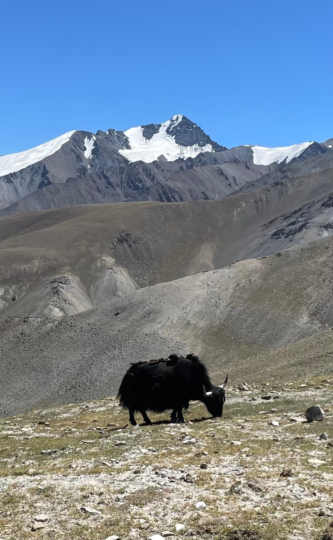 |
On reaching the high pass 4960m we could see Shingo from here, our destination, and its yellow fields of barley. A long way down.
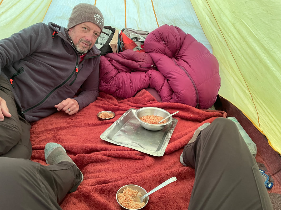
Soon after arrival at Shingo campsite we were given lovely noodles with maybe bits of spinach in a veg broth perhaps - delicious. It was nice to have time to relax in the sun. We were always brought tea and buscuits on a tray and this is something we really looked forward to.
Dinner was:
Pasties filled with veg - The cook is a genius- how he makes pasties on a twin gas burner is very puzzling.
Cheese lumps in spices
Soup
Mixed tinned fruit
Altitude of camp: 3380m
Trek distance: approx 14.7km
Total ascent: 1025m
Trek time: 7hrs


TREK DAY 4 Shingo to Skyu
A little bit later start. Unfortunately I had to use the toilet hut at 5am in the morning, so head torch required - not the easiest place to negotiate even in the light. It looked quite cute; a stone building, no roof, tiny door and inside a square area no more than 1.5x1.5, a small hole (not designed for women) in the floor dropping down to a room with no door, a large flat stone either side of the hole. This lower level drains into the irrigation channel that runs through the campsite.
Breakfast was:
Puddis- very nice
Cornflakes with hot milk
Omelette
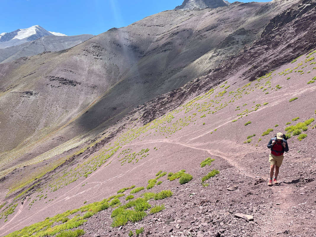
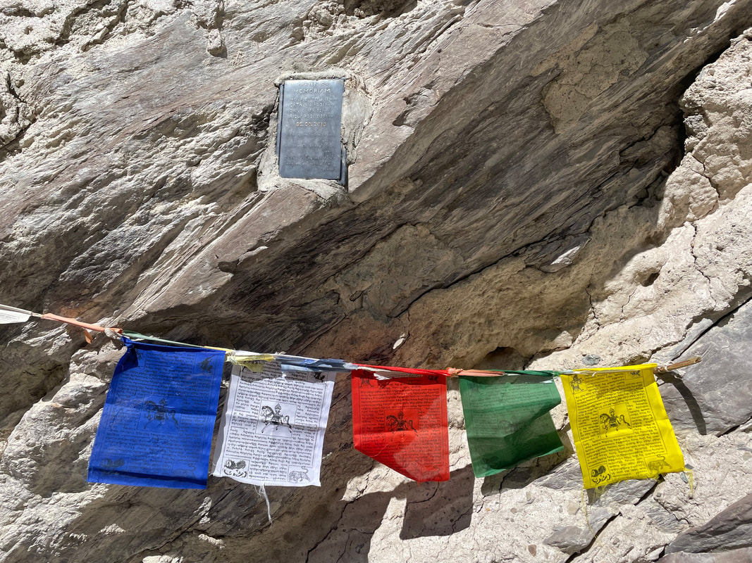
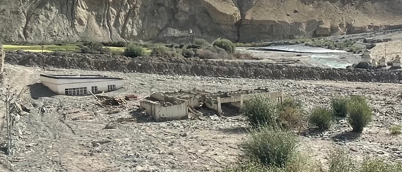
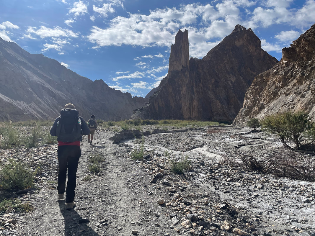
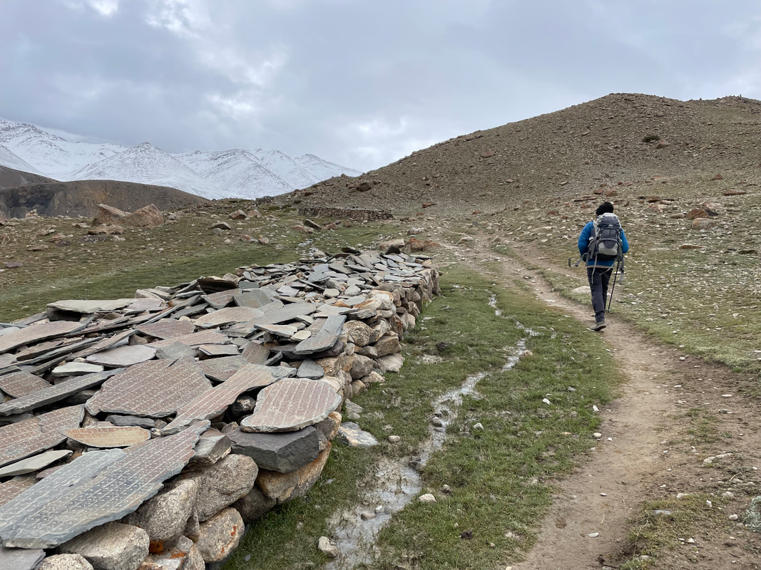
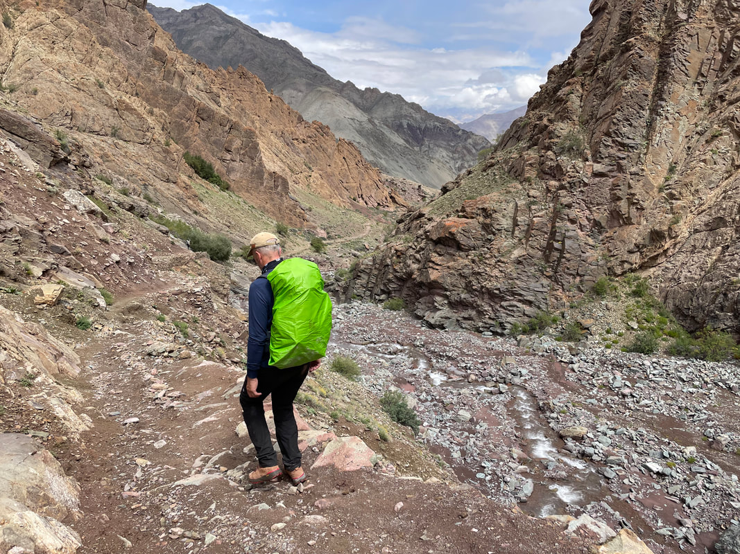
We set off about 0815 down the valley that closes in becoming a spectator gorge. You could see that it changes every year with mud being carried down with rain and the level of the water way, way above it was today. In 2010 a group came down the valley in August and got caught up in the flash flood , 4 of them lost their lives (see photo of memorial and prayer flags). I was surprised that much of the mountains seem to be made up of compacted mud and stone and even where you see bedrock, it looks shalely and unstable. Where they have dug out new roads into the sides of the mountains such as Rumbuk and the Marka Valley, it looks unsustainable - where they have dug out it is unsupported and already fast eroding. I imagine clearing the roads of fallen mud and stone is endless and after copious rain much of the loose mountain side where they have dug would be washed away.
A little bit later start. Unfortunately I had to use the toilet hut at 5am in the morning, so head torch required - not the easiest place to negotiate even in the light. It looked quite cute; a stone building, no roof, tiny door and inside a square area no more than 1.5x1.5, a small hole (not designed for women) in the floor dropping down to a room with no door, a large flat stone either side of the hole. This lower level drains into the irrigation channel that runs through the campsite.
Breakfast was:
Puddis- very nice
Cornflakes with hot milk
Omelette
We set off about 0815 down the valley that closes in becoming a spectator gorge. You could see that it changes every year with mud being carried down with rain and the level of the water way, way above it was today. In 2010 a group came down the valley in August and got caught up in the flash flood , 4 of them lost their lives (see photo of memorial and prayer flags). I was surprised that much of the mountains seem to be made up of compacted mud and stone and even where you see bedrock, it looks shalely and unstable. Where they have dug out new roads into the sides of the mountains such as Rumbuk and the Marka Valley, it looks unsustainable - where they have dug out it is unsupported and already fast eroding. I imagine clearing the roads of fallen mud and stone is endless and after copious rain much of the loose mountain side where they have dug would be washed away.
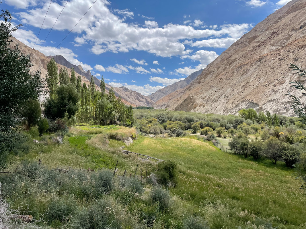
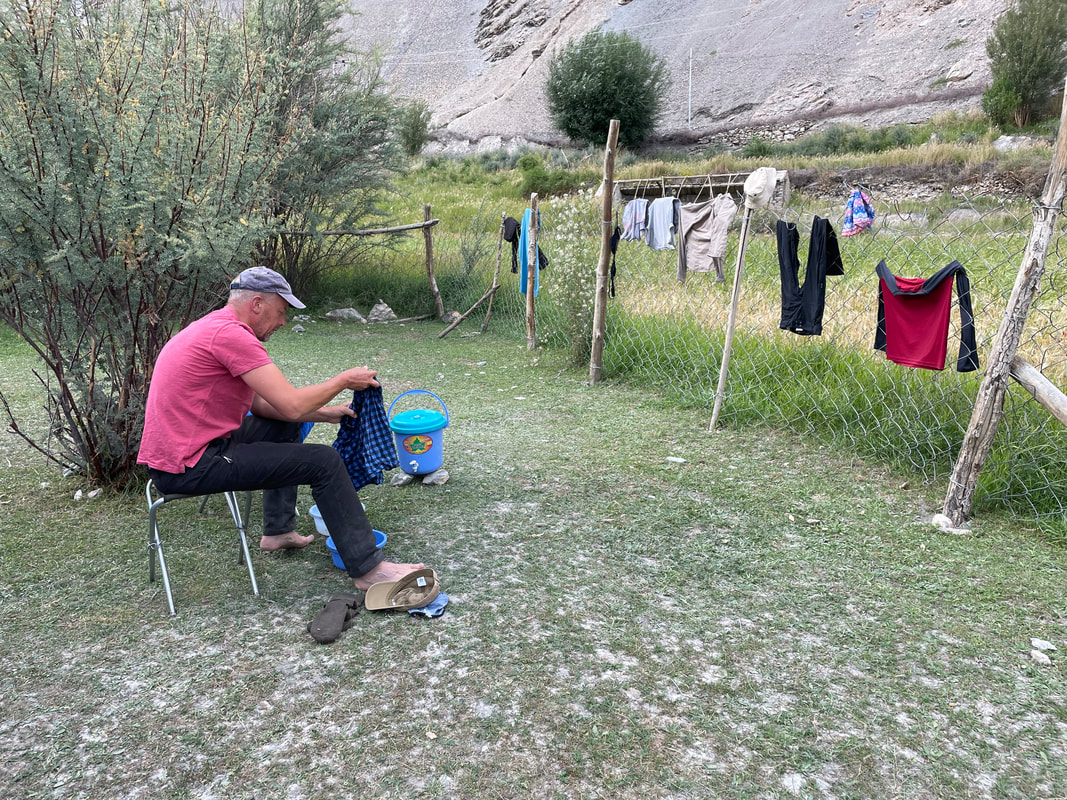
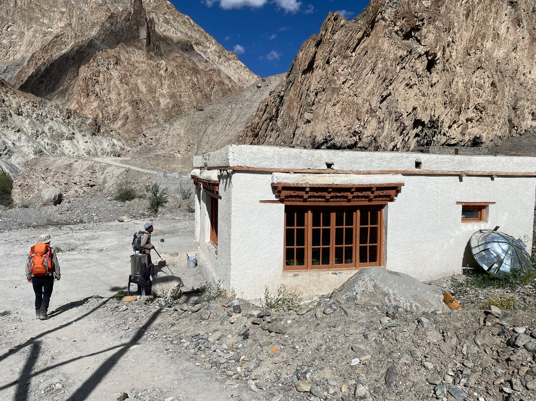
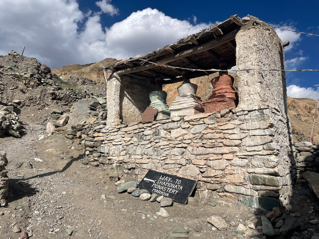
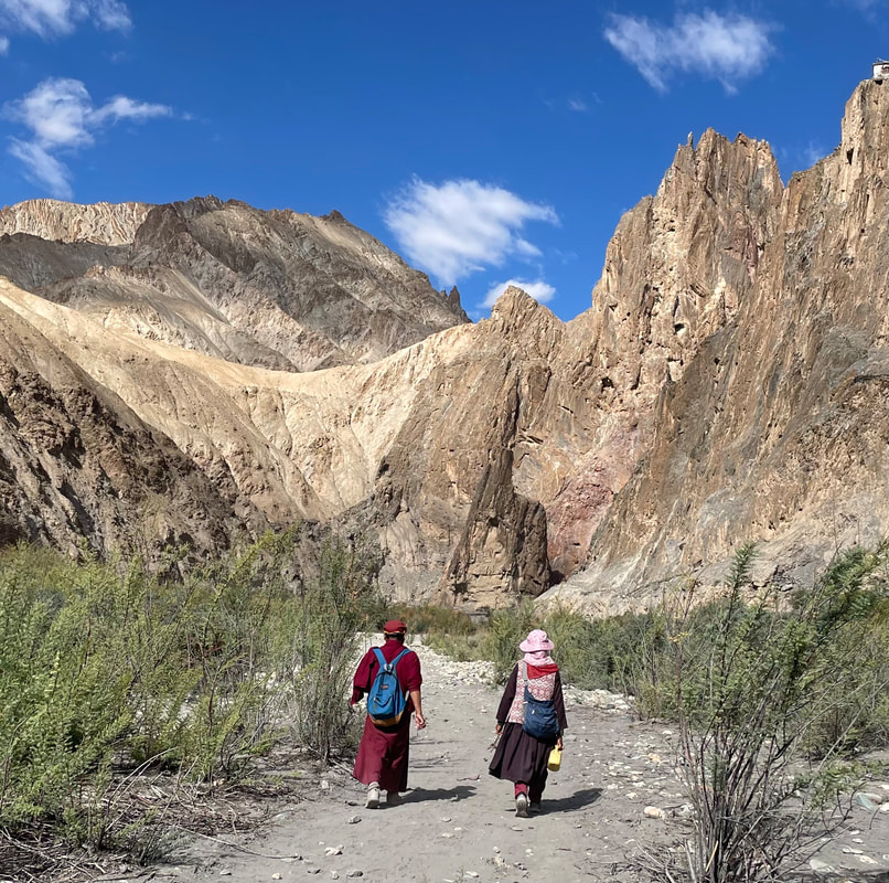
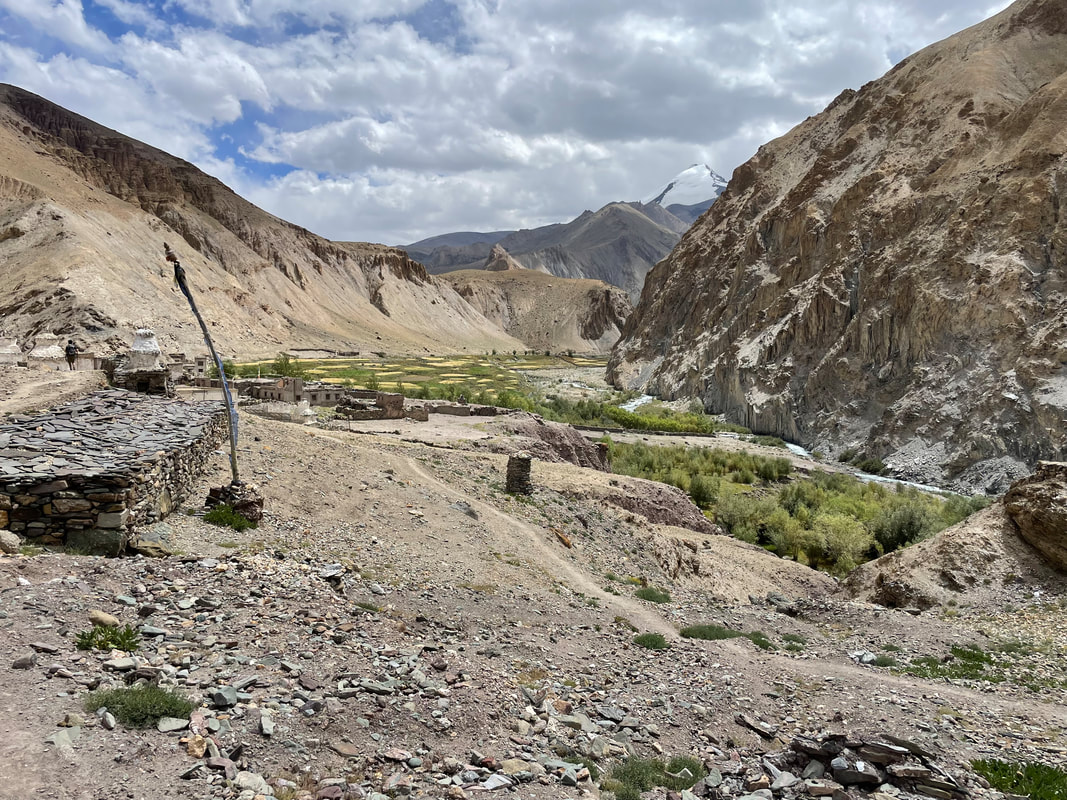
| The colours and formations of the rocks towering above us are magnificent. Every corner turned, a different visa comes into view and is just as mind blowing as the last. The paths are very narrow, very dry and very dusty and sometimes , actually quite often, precipitous - high and falling away down to the river. Focus is required. The valley widens into a dry, crazed mud flood plane before reaching Skyu. We sat in the community hall with 2 women from the village who informed Idga that it was the village of Kaya’s turn to run homestay today. I suddenly noticed that there was a baby on the floor. A little girl I think, I could just see a pink n white hat a the top of the blanket- just lying very peacefully on the floor swaddled in blankets (baking hot outside but all the locals wear so many clothes including woolly hats) The monastery was closed but we walked around the outside looking up the valley towards Kaya. We walked south for a while a long the new dusty road to a campsite. Idga found us some shade in somebody’s garden while we waited for the ponies and then they set up camp. Idga gave us some water and two bowels so that we could wash our very dusty clothes. | 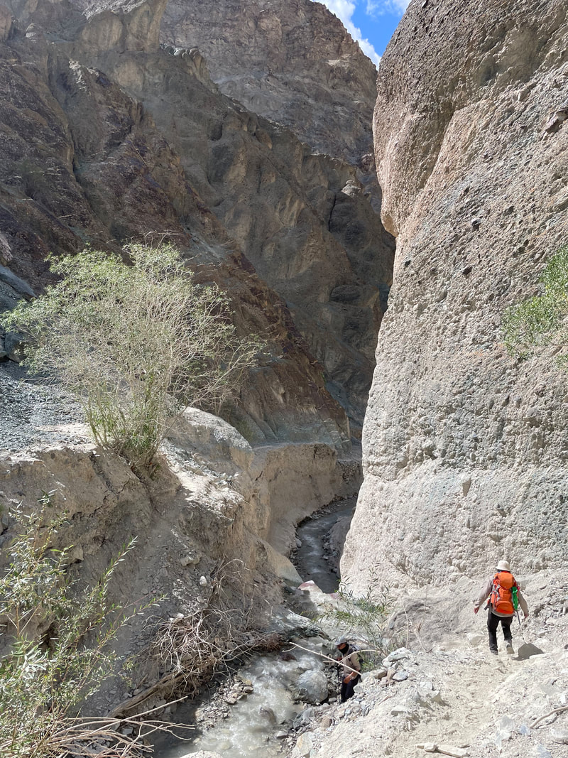 |
James was unsure about carrying on passed Markha so Idga called Javeed to see what the options were. We thought we would have a noodle snack like yesterday but nothing arrived so it was a long wait from 1300 til 1800 when we were called for tea. We had been brought 2 lots of tea to drink though, we were just starving. I did have a stash of biscuits which we rationed. We passed the time by doing some hand washing - about the only time I use my big trek towel. If you ring out your item and then roll up in a towel, squeezing as you go, it's a great way to get every bit of excess water out. Catching the last bit of sun, we managed to get everything dry.
Dinner was:
Some very spicy soup
A pizza- absolutely amazing and a gorgeous pie ! - apple and dried fruit. All cooked in a saucepan.
...and all delicious
Altitude of camp: 3341m
Trek distance: approx 10km
Total ascent: 16m Total descent: 726m
Trek time: 3hrs
Dinner was:
Some very spicy soup
A pizza- absolutely amazing and a gorgeous pie ! - apple and dried fruit. All cooked in a saucepan.
...and all delicious
Altitude of camp: 3341m
Trek distance: approx 10km
Total ascent: 16m Total descent: 726m
Trek time: 3hrs


TREK DAY 5 Skyu to Markha
Early start, bed tea at 0630. I decided to put water purification tabs in my water today, as at 3300m water boils at approx. 88C so possibly isn't going to kill all those pathogens. James had to make a decision so he decided to carry on.
Breakfast was:
Porridge with honey
Chapatis
Omelette
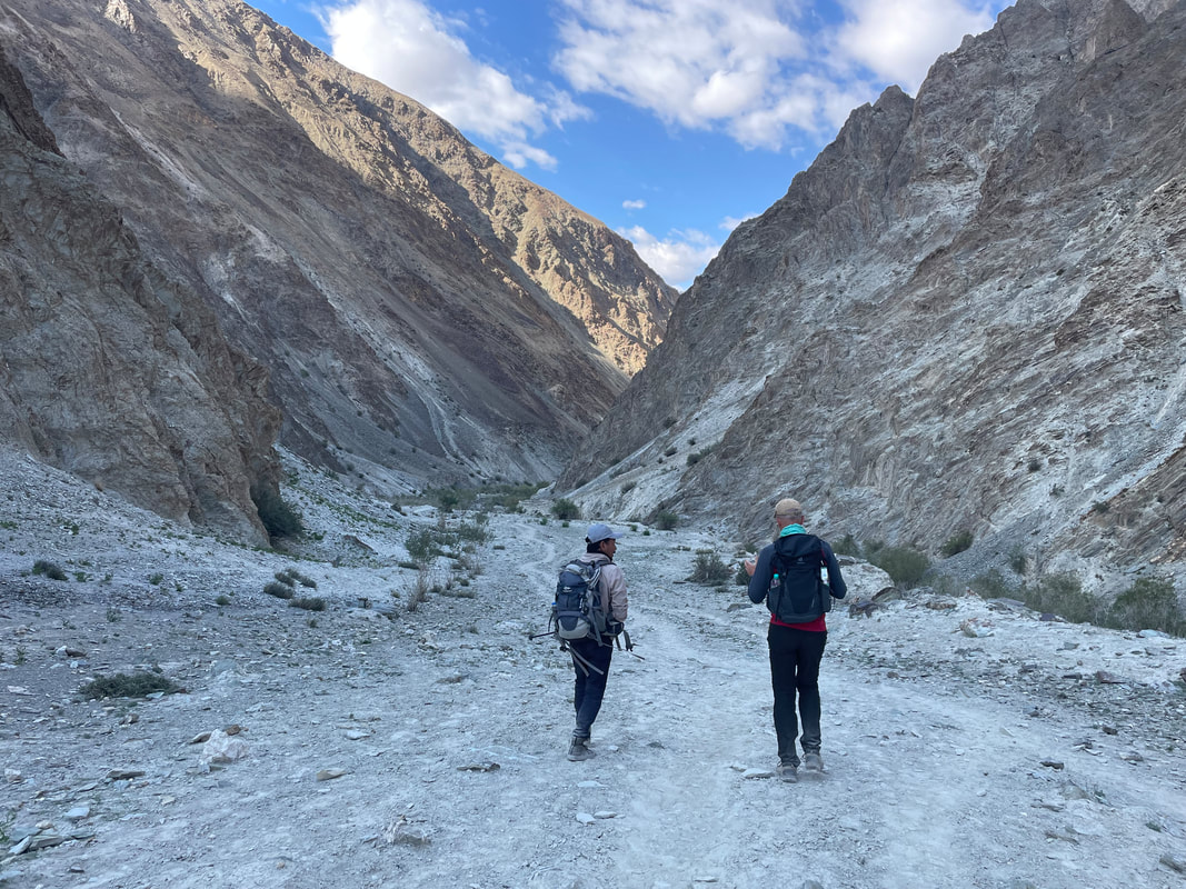
We started out around 0800 and the sun soon got very very hot. I thought we had 18km ahead of us and was glad I didn’t know it was 22km. The Markha valley may be beautiful but now with a road (a very dusty track) and electricity meandering through, it makes it an arduous walk. So hot, and very hot on our feet. A complete contrast to the first 4 days. I think a night at Skyu campsite and being driven the next day to Markha would be a much better option.
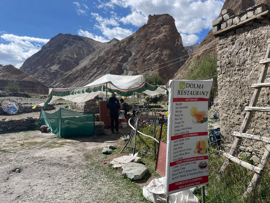
We stopped at the first tea shop run by the next village and had sea buckthorn juice, it was very nice. I bought a tiny woollen bag. Idga had told us about the berries being harvested and I knew of someone who promoted this on Facebook- it turned out to be a friend on Idga.
We stopped at a campsite for a break, another tea tent and then lunch in the shade in a small copses area and another tea tent about an hour from Markha.
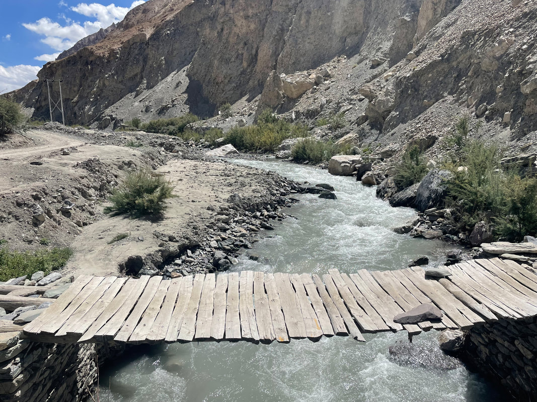
No river crossing because bridges have been put in.
Early start, bed tea at 0630. I decided to put water purification tabs in my water today, as at 3300m water boils at approx. 88C so possibly isn't going to kill all those pathogens. James had to make a decision so he decided to carry on.
Breakfast was:
Porridge with honey
Chapatis
Omelette
We started out around 0800 and the sun soon got very very hot. I thought we had 18km ahead of us and was glad I didn’t know it was 22km. The Markha valley may be beautiful but now with a road (a very dusty track) and electricity meandering through, it makes it an arduous walk. So hot, and very hot on our feet. A complete contrast to the first 4 days. I think a night at Skyu campsite and being driven the next day to Markha would be a much better option.
We stopped at the first tea shop run by the next village and had sea buckthorn juice, it was very nice. I bought a tiny woollen bag. Idga had told us about the berries being harvested and I knew of someone who promoted this on Facebook- it turned out to be a friend on Idga.
We stopped at a campsite for a break, another tea tent and then lunch in the shade in a small copses area and another tea tent about an hour from Markha.
No river crossing because bridges have been put in.


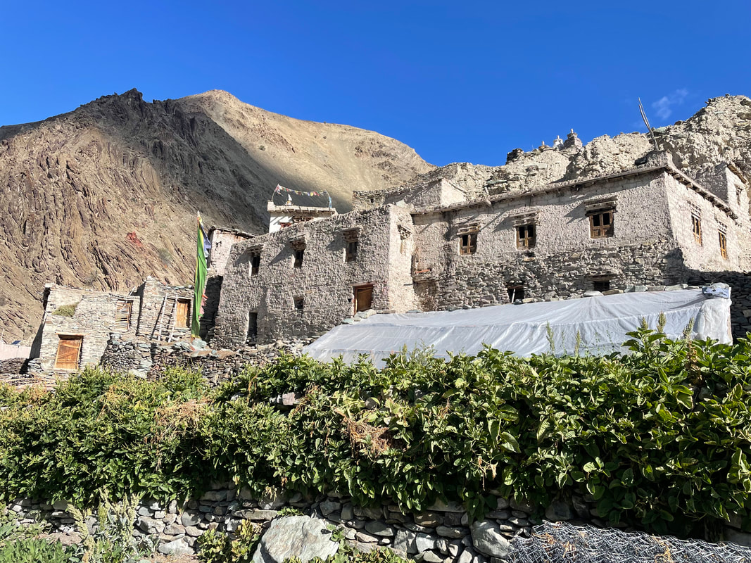
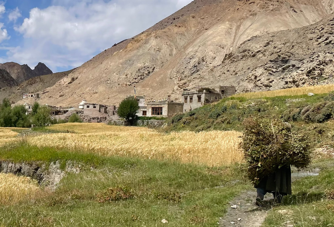
The Homestay - Markha village
The new bit of Markha NW end was washed away this year and last year by flash flooding after rain. Only a scene of devastation remains. There was a home stay in the old part so we stayed there (their turn). A very different experience. James wasn’t very well on arrival.
Dinner was:
We were given mokmok a traditional Ladakhan dish. Filled pasta, a bit like ravioli but bigger and no sauce. It was very nice.
It’s been a hard day today 22km in heat. It was quiet at the homestay, and I am not sure we had the full experience that some trekkers do, but it was nice to experience something of the simple home and life in the remote valley.
The route to the toilet first takes you over a few hose pipes and ruts and then along a short precipice path, no more than 30cm wide at the side of a ‘dead hole’ a good metre and a half drop with a horses hoof and a tail remaining. If you arrive safely at the toilet hut then it’s the usual.
Altitude of homestay: 3823m
Trek distance: approx 22.7km
Total ascent: 538m
Trek time: 7hrs and 45mins
 |  |


TREK DAY 6 Markha to Thachungtse
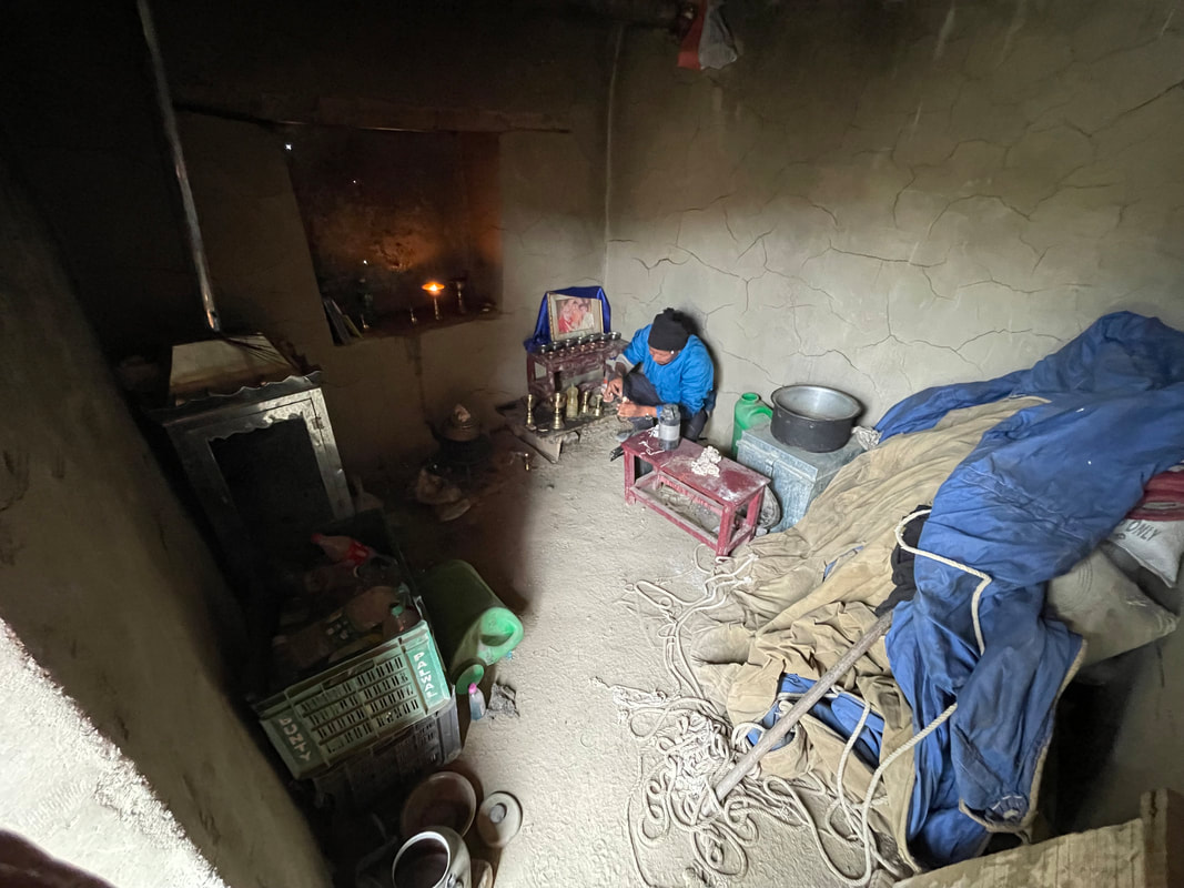
Early start at 0800 so bed tea at 0700. We were up at 0615 to pack. The wash room is two buckets of cold water and a jug. I found it fine but James didn’t like it much.
Breakfast was:
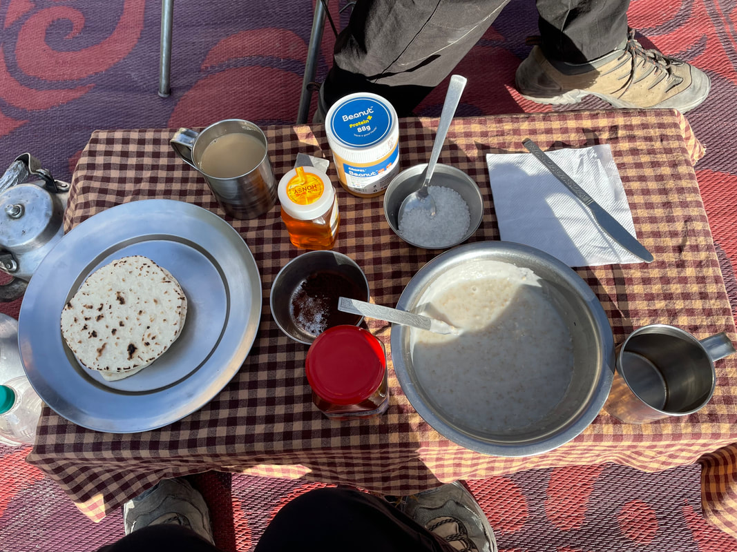
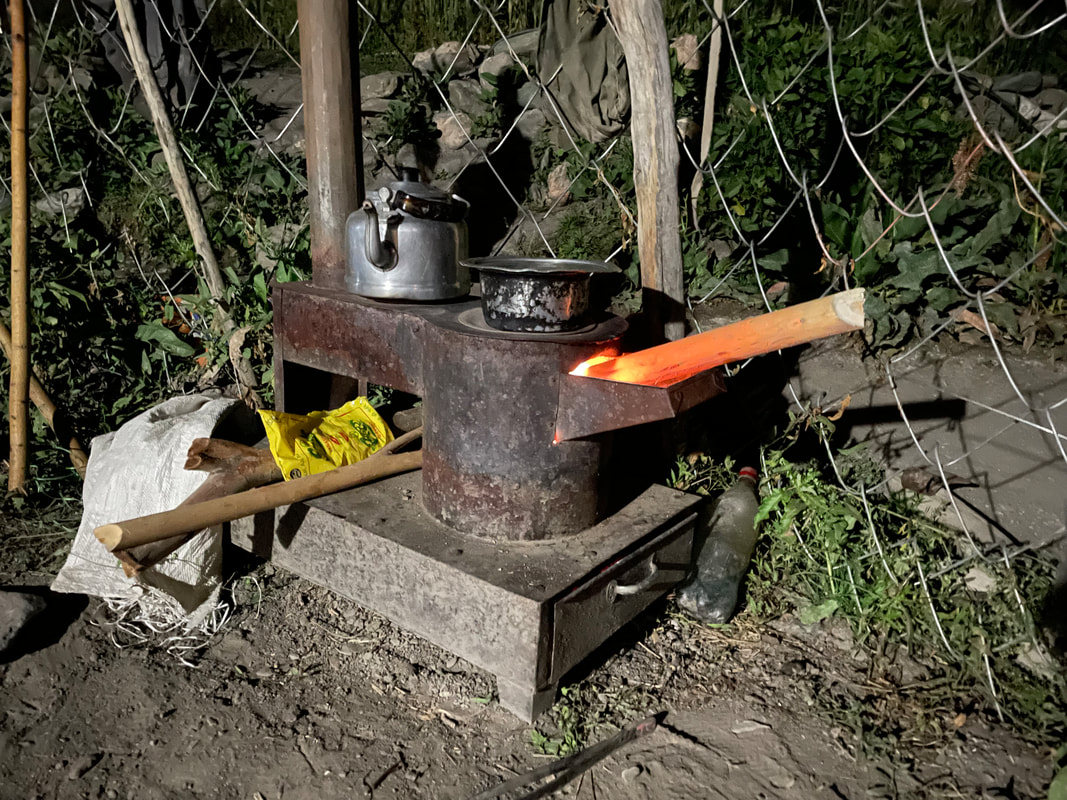
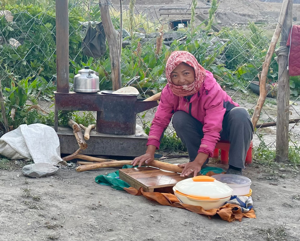
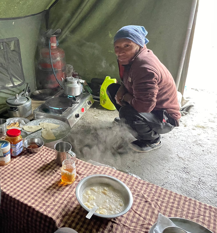
Chapatis and honey - see photo of our host making these on a simple stove outside.
......We were missing the camp cook!!
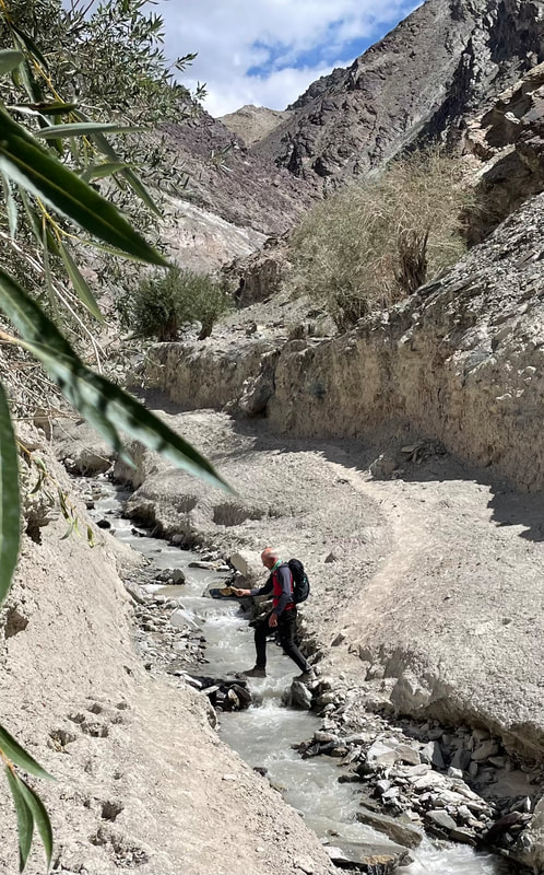
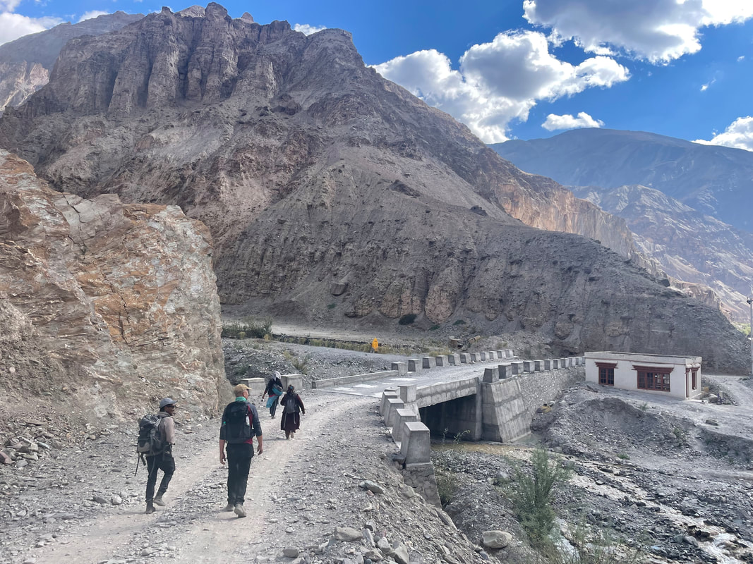
The first bit of the route was similar to yesterday, a dusty track. Soon after setting off the Techa gompa can be seen high up on the cliffs. A narrow path makes its way up but we didn't go. We soon came down close to the river and had to put our sandals on. It was great fun. So so cold, the pain was immense but didn’t last long. We reached Umlung where there was a tea tent. A big sign outside said homemade cakes but we weren’t in luck. An old man with his very sweet grandson (looked about 3yrs) were there. I bought some lovely soft socks (for cold nights ahead) and a couple of pendants for Mollie and Mikey (Oli and Jim's girlfriends, respectively). James asked for coffee - it is always delivered as a glass of hot milk and a jar of instant coffee. They don't really do coffee in Ladakh - their preferred drink is 'milk tea', tea made with hot milk and salt. Kang Yatse (6400m) comes into sight soon after this with its snowy peak.
On to the next tea tent which was Hankar, a eco cafe run by women. Exactly the same menu as the one by Skyu. The only drinks are available despite the snacks listed, which was funny. We had a glass of jimbo (sweet) juice made from the sea buckthorn berries. Nice. There is a water mill here, still used for grinding the barley grain for their bread. The tea tents are typically made with timber supporting a huge white cover which is a parachute that was previously used when supplies were dropped in.
On and on up the valley passing to a couple of splits in the path that takes you on different trekking routes (glad we had a guide). We saw some blue sheep on the way and lots of donkeys (bompu in Ladakhi).
We reached Thachungtse at 1415 which was good, plenty of time to rest. It’s hot when the sun is out but quite cold otherwise. We had tea brought to us twice. It’s seemed a long time until dinner time. The river was very noisy, a roar rather than a burble but a nice noise all the same.
Dinner was: I don't have a record but it start with popadoms
Altitude of camp: 4224m
Trek distance: approx 17.4km
Total ascent: 508m
Trek time: 6.5hrs
Early start at 0800 so bed tea at 0700. We were up at 0615 to pack. The wash room is two buckets of cold water and a jug. I found it fine but James didn’t like it much.
Breakfast was:
Chapatis and honey - see photo of our host making these on a simple stove outside.
......We were missing the camp cook!!
The first bit of the route was similar to yesterday, a dusty track. Soon after setting off the Techa gompa can be seen high up on the cliffs. A narrow path makes its way up but we didn't go. We soon came down close to the river and had to put our sandals on. It was great fun. So so cold, the pain was immense but didn’t last long. We reached Umlung where there was a tea tent. A big sign outside said homemade cakes but we weren’t in luck. An old man with his very sweet grandson (looked about 3yrs) were there. I bought some lovely soft socks (for cold nights ahead) and a couple of pendants for Mollie and Mikey (Oli and Jim's girlfriends, respectively). James asked for coffee - it is always delivered as a glass of hot milk and a jar of instant coffee. They don't really do coffee in Ladakh - their preferred drink is 'milk tea', tea made with hot milk and salt. Kang Yatse (6400m) comes into sight soon after this with its snowy peak.
On to the next tea tent which was Hankar, a eco cafe run by women. Exactly the same menu as the one by Skyu. The only drinks are available despite the snacks listed, which was funny. We had a glass of jimbo (sweet) juice made from the sea buckthorn berries. Nice. There is a water mill here, still used for grinding the barley grain for their bread. The tea tents are typically made with timber supporting a huge white cover which is a parachute that was previously used when supplies were dropped in.
On and on up the valley passing to a couple of splits in the path that takes you on different trekking routes (glad we had a guide). We saw some blue sheep on the way and lots of donkeys (bompu in Ladakhi).
We reached Thachungtse at 1415 which was good, plenty of time to rest. It’s hot when the sun is out but quite cold otherwise. We had tea brought to us twice. It’s seemed a long time until dinner time. The river was very noisy, a roar rather than a burble but a nice noise all the same.
Dinner was: I don't have a record but it start with popadoms
Altitude of camp: 4224m
Trek distance: approx 17.4km
Total ascent: 508m
Trek time: 6.5hrs


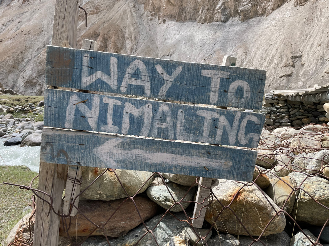
TREK DAY 7 Thachungtse to Nimaling
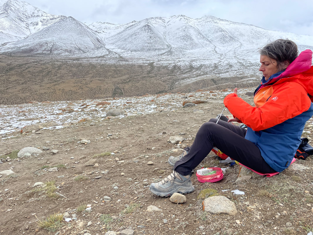
It was going to be a relaxed start today as we didn’t have far to go to Nimaling. BUT it started to rain at 3am and didn’t stop until about 7am. At 5am I realised that everything was getting wet inside the tent. A nightmare. I move everything on to the mat and my kit bag but about 30mins later the wet started to come through the mats. Then I discovered it was wet in my kit bag too. We just had to get dressed carefully and get out of the tent. Idga was up too so we were invited into the kitchen tent for a cup of tea. It was so cold. Idga had been up in the night checking the muddy slopes for signs of land slips.
So it turned out breakfast was early. We packed up, I put everything wet in one bag, salvaged what was dry of my clean undies, packed up my wet sleeping bag in the hope I’d be able to dry it later in the day.
We set off in waterproofs, puffer jackets, gloves, hats. An unbelievable difference to what we’d had.
Breakfast was:
Cereal was hot milk
Omelette
Thick pancakes with honey - yum.
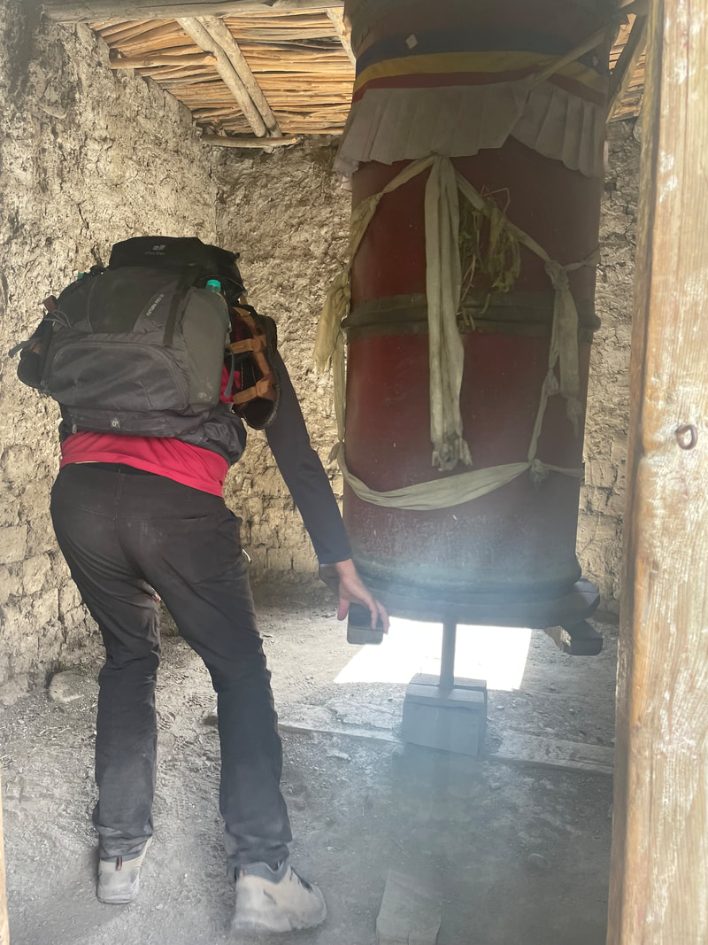
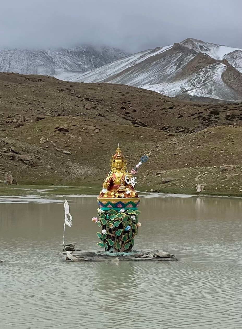
It was a steady up all the way to 4811m and saw marmots, pretty birds, Pika (hamsters) and the scenery was amazing- really strange rock formations the other side of the valley. At the highest point there are two lakes, one with a Buda floating in the middle. On a clear day Kang Yatse would be the backdrop and the reflection in the clear water, but not for us unfortunately now the weather had taken a turn. There is a brick, square, flat roofed building which is actually a very small temple. Idga showed us inside and he lit an oil candle and said some prayers.
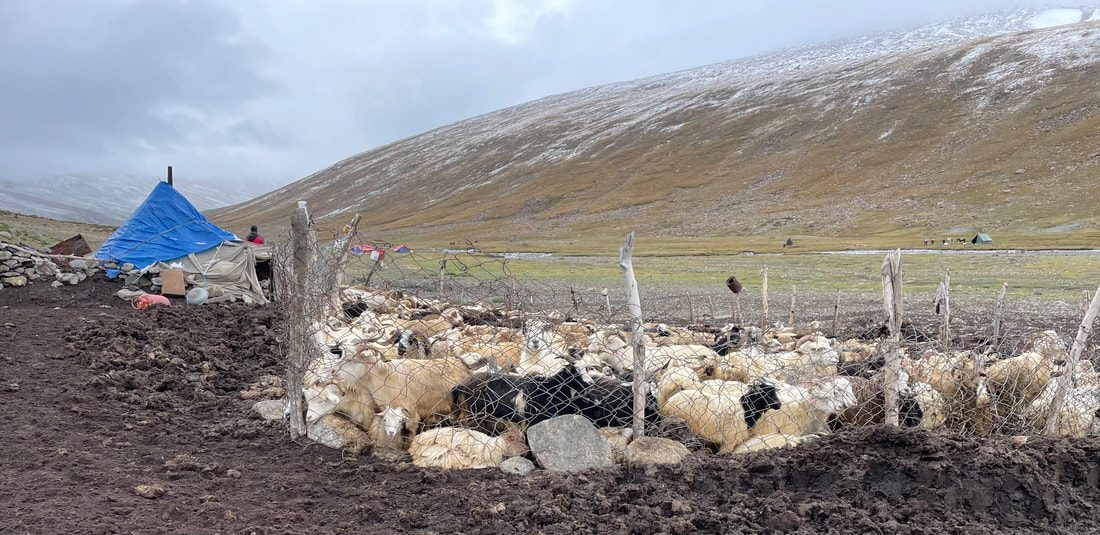
Nimiling is in a very wide, soggy, flat valley with very remote and simple farms. Idga showed us to one of the farms, run by women who lived in a one room stone hut all summer. When we arrived we were shown a communal tea tent. A bit stuffy inside. A strange women from Poland asked us if we had any medication for chest and nose problems- I said no obviously because when it comes down to it, we want to get home too. I did lend my pulseoximeter though. When the ponies arrived we followed them out of this strange camp (the was music blasting out and there were loads of tents, apparently the homestay accommodation). We had a nice, quiet spot in the plateau.
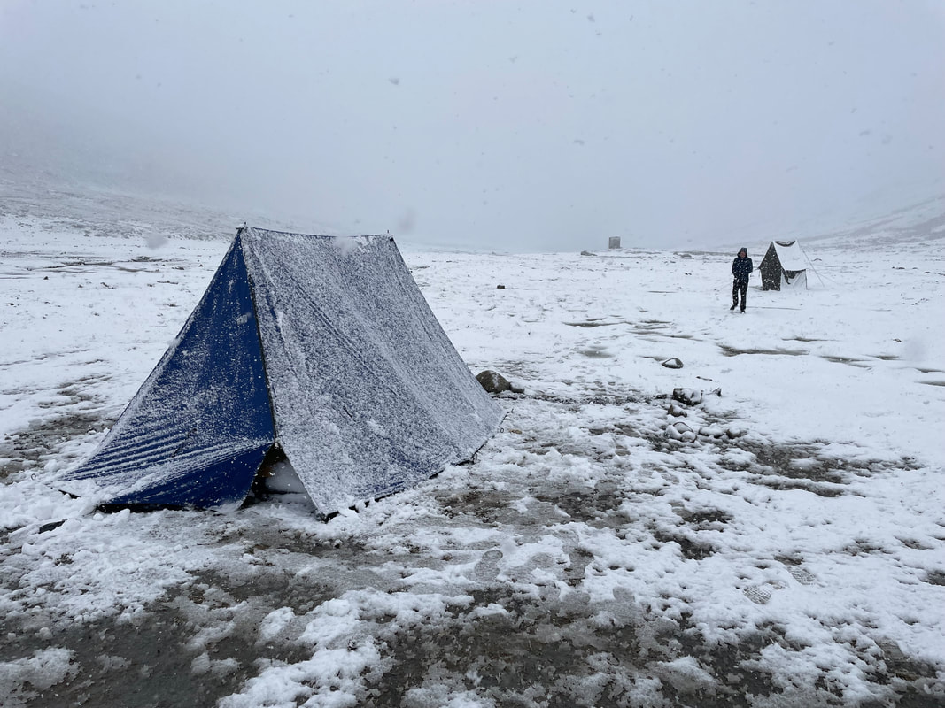
It was sunny for and 30mins and then snow, and loads of it. James and Idga had put up our tent so we quickly got in. It was coming down thick and fast. First they brought us tea and then a bit later on loads of spicy noodle soup- so so nice.
Idga came to scrape the snow off the tent and then dug a drainage channel all around it.
Dinner was:
Chucks of the dairy stuff that I'm not sure of the name (comes out of a tin)
Veg stew with pasta and veg
Tinned mixed fruit, warmed
Altitude of camp: 4841m
Trek distance: approx 8km
Total ascent: 584m
Trek time: 4hrs
It was going to be a relaxed start today as we didn’t have far to go to Nimaling. BUT it started to rain at 3am and didn’t stop until about 7am. At 5am I realised that everything was getting wet inside the tent. A nightmare. I move everything on to the mat and my kit bag but about 30mins later the wet started to come through the mats. Then I discovered it was wet in my kit bag too. We just had to get dressed carefully and get out of the tent. Idga was up too so we were invited into the kitchen tent for a cup of tea. It was so cold. Idga had been up in the night checking the muddy slopes for signs of land slips.
So it turned out breakfast was early. We packed up, I put everything wet in one bag, salvaged what was dry of my clean undies, packed up my wet sleeping bag in the hope I’d be able to dry it later in the day.
We set off in waterproofs, puffer jackets, gloves, hats. An unbelievable difference to what we’d had.
Breakfast was:
Cereal was hot milk
Omelette
Thick pancakes with honey - yum.
It was a steady up all the way to 4811m and saw marmots, pretty birds, Pika (hamsters) and the scenery was amazing- really strange rock formations the other side of the valley. At the highest point there are two lakes, one with a Buda floating in the middle. On a clear day Kang Yatse would be the backdrop and the reflection in the clear water, but not for us unfortunately now the weather had taken a turn. There is a brick, square, flat roofed building which is actually a very small temple. Idga showed us inside and he lit an oil candle and said some prayers.
Nimiling is in a very wide, soggy, flat valley with very remote and simple farms. Idga showed us to one of the farms, run by women who lived in a one room stone hut all summer. When we arrived we were shown a communal tea tent. A bit stuffy inside. A strange women from Poland asked us if we had any medication for chest and nose problems- I said no obviously because when it comes down to it, we want to get home too. I did lend my pulseoximeter though. When the ponies arrived we followed them out of this strange camp (the was music blasting out and there were loads of tents, apparently the homestay accommodation). We had a nice, quiet spot in the plateau.
It was sunny for and 30mins and then snow, and loads of it. James and Idga had put up our tent so we quickly got in. It was coming down thick and fast. First they brought us tea and then a bit later on loads of spicy noodle soup- so so nice.
Idga came to scrape the snow off the tent and then dug a drainage channel all around it.
Dinner was:
Chucks of the dairy stuff that I'm not sure of the name (comes out of a tin)
Veg stew with pasta and veg
Tinned mixed fruit, warmed
Altitude of camp: 4841m
Trek distance: approx 8km
Total ascent: 584m
Trek time: 4hrs


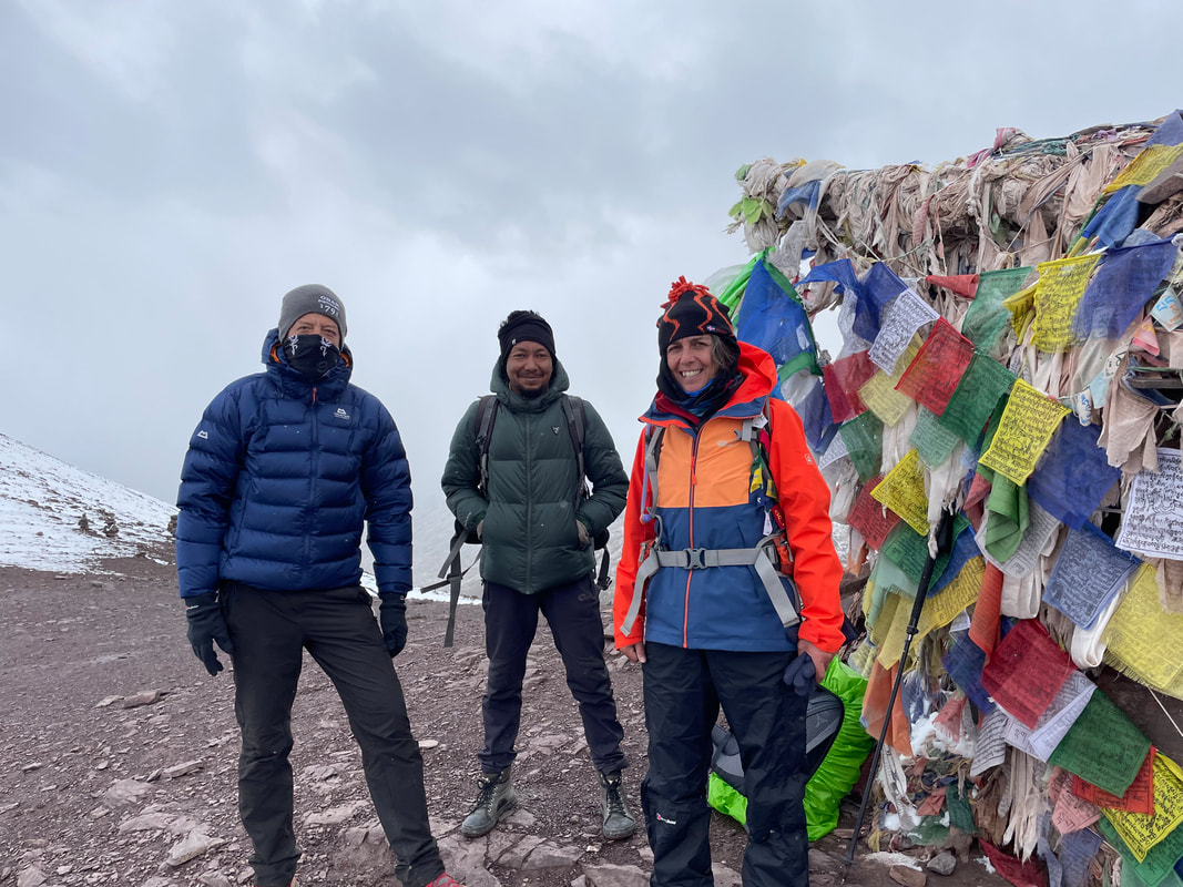
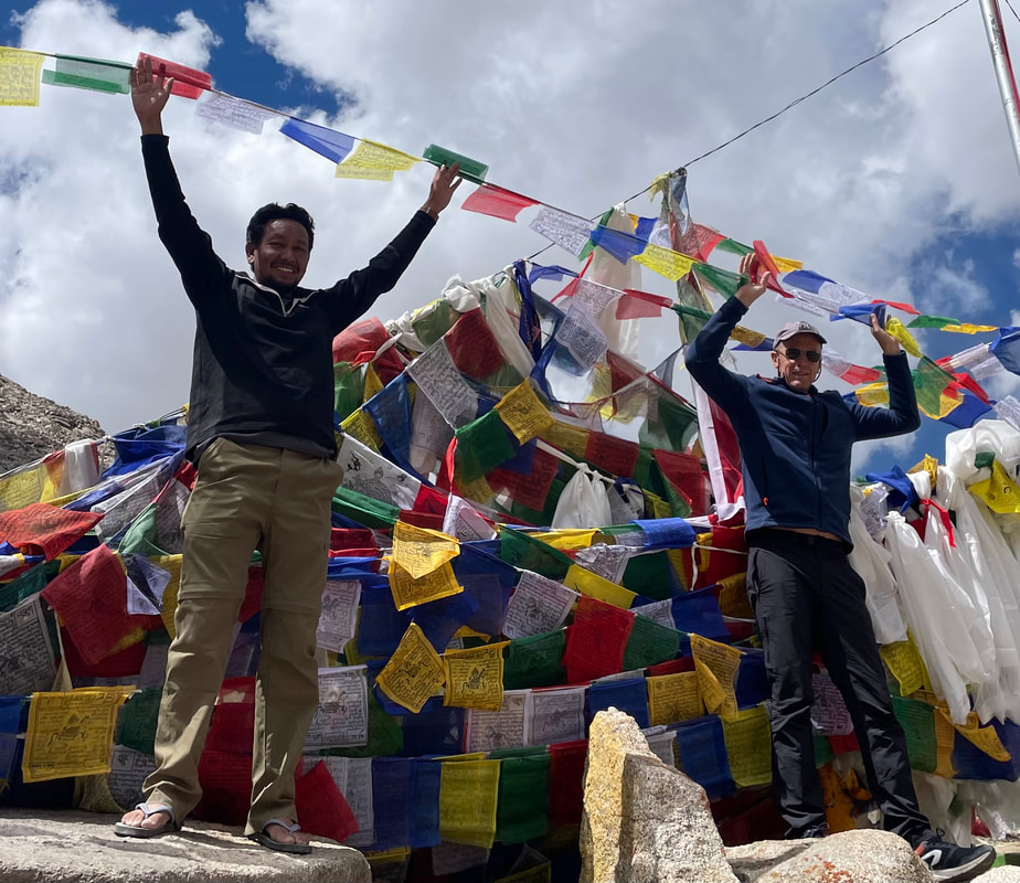
TREK DAY 8 Nimaling to Chogdo via high pass Kongmaru La (5272m)
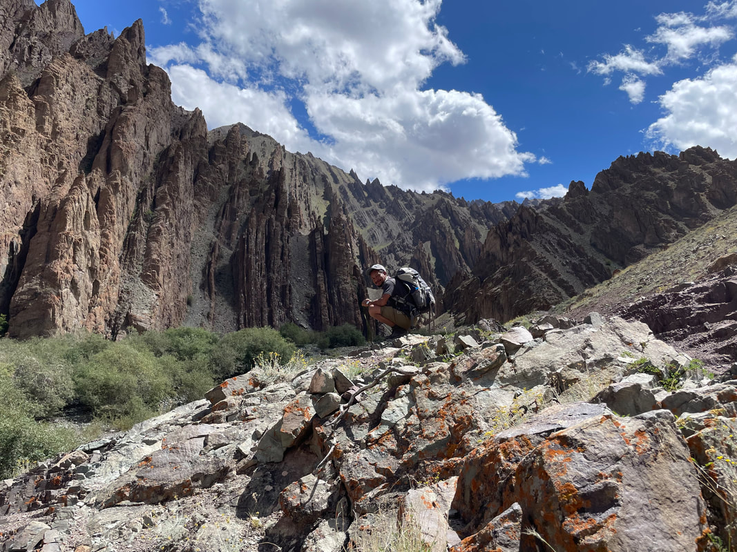
| A cold drizzly start. Bed tea as per routine at about 0630. Breakfast in the cooks tent. Breakfast was: Porridge with apple Omelette Fried things We set off about 0815 and made our way up the path towards the high pass. It was wet, cold and fluttering with snow. Very cloudy but bits of views looking NW. It took us 1.5hr to reach the pass. (5272m) I was so excited and so happy to be there. Loads of prayer flags and as we approached Idga shouted his prayers (I assume). It was windy and snowy but we found shelter and had a break. I felt a bit sad when we begin our way down - it was nice to be up high again after being in the valley for 3 days. I needn’t have been despondent - the way down was spectacular. Starting with a steep, zigzagged path, slippery and snowy and precipitous, we descended quickly until we were below the snow line where the gradient lessened and we picked our path over uneven, stoney terrain to reach the stream in the valley. Each corner turned, a different view with out of this world geological features. We could have stared at the different rock formations and beautiful colours for hours. Lots of stream crossings on the way, jumping across what I would normally think was precarious but I got quite confident. Then up the side on the valley again and onto another narrow path, which I’d also got used to - Just keep focused and don’t look to the side and in some places a step across an eroded bit was required. | 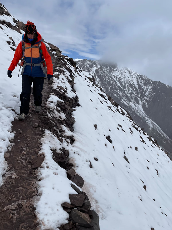 |


About 30mins before our destination Idga pointed out the sour spring at Chuskyurmo. Chusk means water. The spring water is used for medicinal purposes.
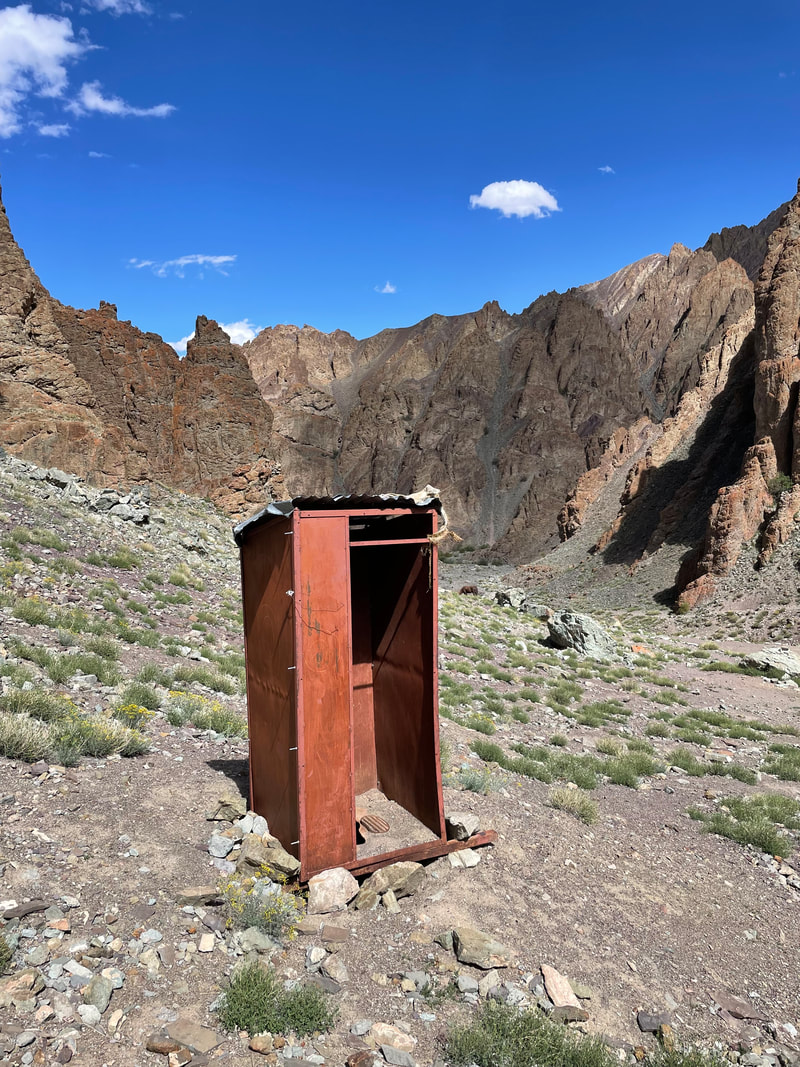
At about 1400 we arrived at our campsite at Chogdo. Sunshine at last for a short while but we did manage to get a few things dry. Tea and noodles were brought. There was a small cow in the patch next to us that wasn't tethered, it just seemed to know its space and neither did it trample on or eat the lovely veg patch. Right by here was the toilet tent which consisted of some old tarpaulin wrapped round a few sticks of a height of about 4ft and a bit of a curtain type door, and of course, a hole in the ground.
We watched a farmer on the otherside of the river herd his many goats down the very steep and loose mountain side, no dog, he just whistled occasionally.
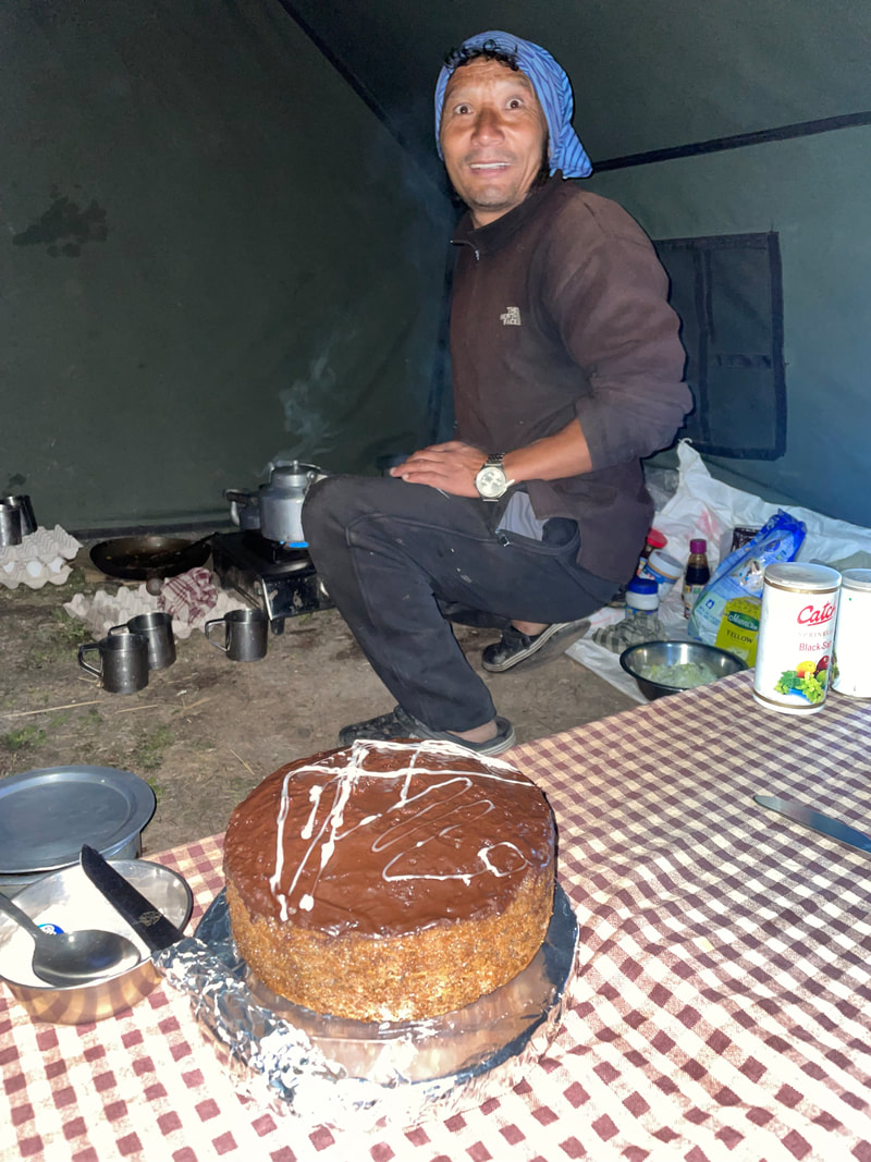
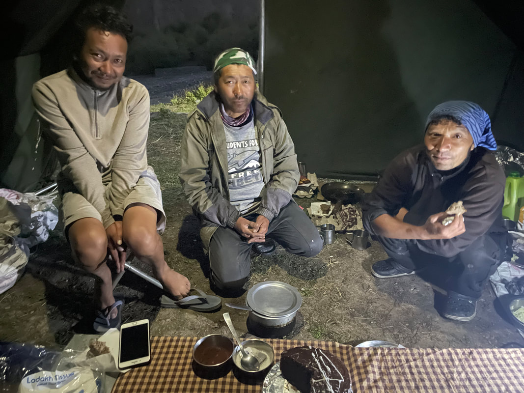
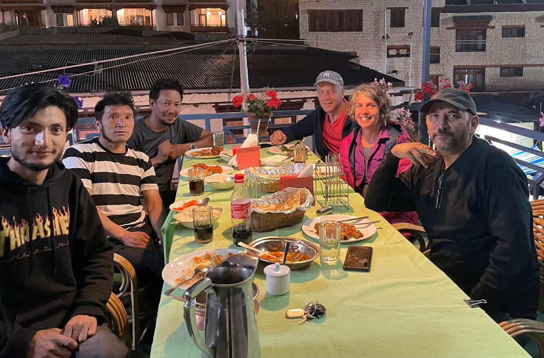
It was cold once the sun had gone down behind the mountains and it started to rain a bit. We were called for tea. I had asked Idga if we could all eat together; Beem the cook, pony man and Idga as it was our last night. He said we would but I think they felt uncomfortable with that. Beem had made a cake!!! - incredible. A small container inside a larger saucepan and sealed with foil and a lid, on the gas. He’d iced it too. We ate the cake together and we handed out our tips and I gave them a buff each and some snacks.
Dinner was:
Pizza
Spicy tuna
Cabbage with a dressing
Cake - fantastically yummy, with icing too.
Altitude of camp: 3943m
Trek distance: approx 12.6km
Total ascent: 437m Total descent: 1259m
Trek time: 6hrs
At about 1400 we arrived at our campsite at Chogdo. Sunshine at last for a short while but we did manage to get a few things dry. Tea and noodles were brought. There was a small cow in the patch next to us that wasn't tethered, it just seemed to know its space and neither did it trample on or eat the lovely veg patch. Right by here was the toilet tent which consisted of some old tarpaulin wrapped round a few sticks of a height of about 4ft and a bit of a curtain type door, and of course, a hole in the ground.
We watched a farmer on the otherside of the river herd his many goats down the very steep and loose mountain side, no dog, he just whistled occasionally.
It was cold once the sun had gone down behind the mountains and it started to rain a bit. We were called for tea. I had asked Idga if we could all eat together; Beem the cook, pony man and Idga as it was our last night. He said we would but I think they felt uncomfortable with that. Beem had made a cake!!! - incredible. A small container inside a larger saucepan and sealed with foil and a lid, on the gas. He’d iced it too. We ate the cake together and we handed out our tips and I gave them a buff each and some snacks.
Dinner was:
Pizza
Spicy tuna
Cabbage with a dressing
Cake - fantastically yummy, with icing too.
Altitude of camp: 3943m
Trek distance: approx 12.6km
Total ascent: 437m Total descent: 1259m
Trek time: 6hrs
THE FINAL MORNING
I cried ... a lot...
I cried ... a lot...


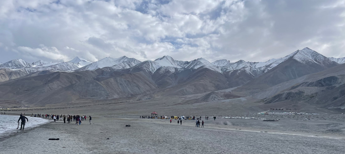
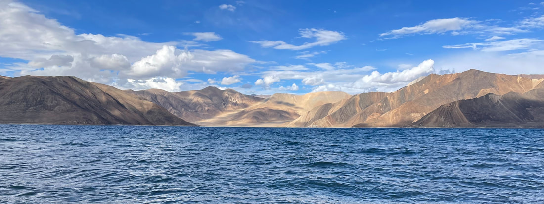
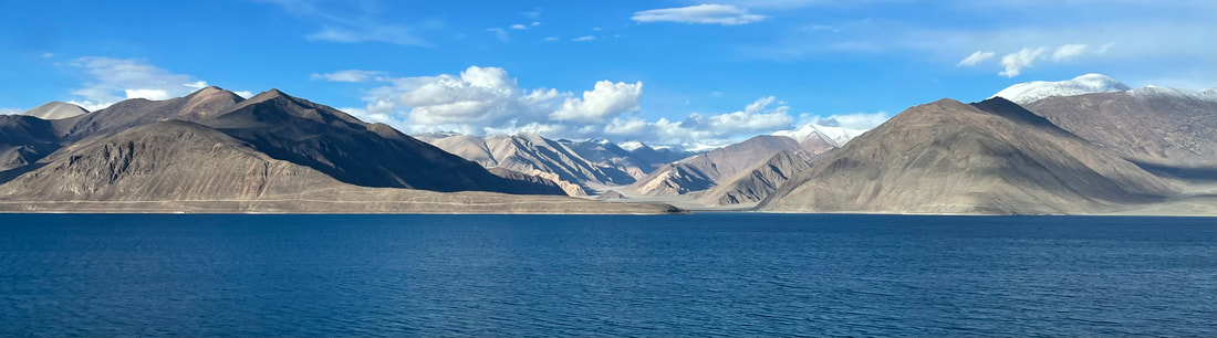
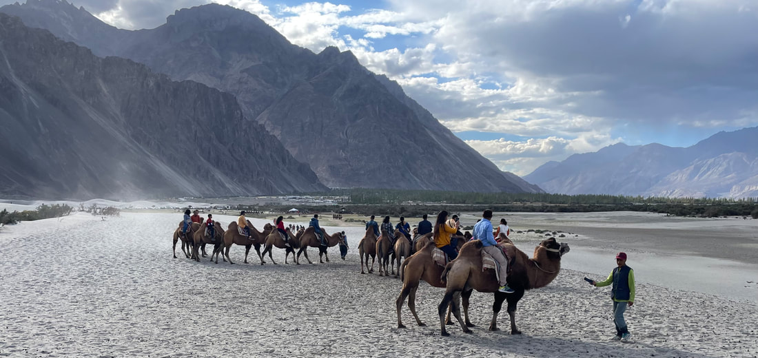
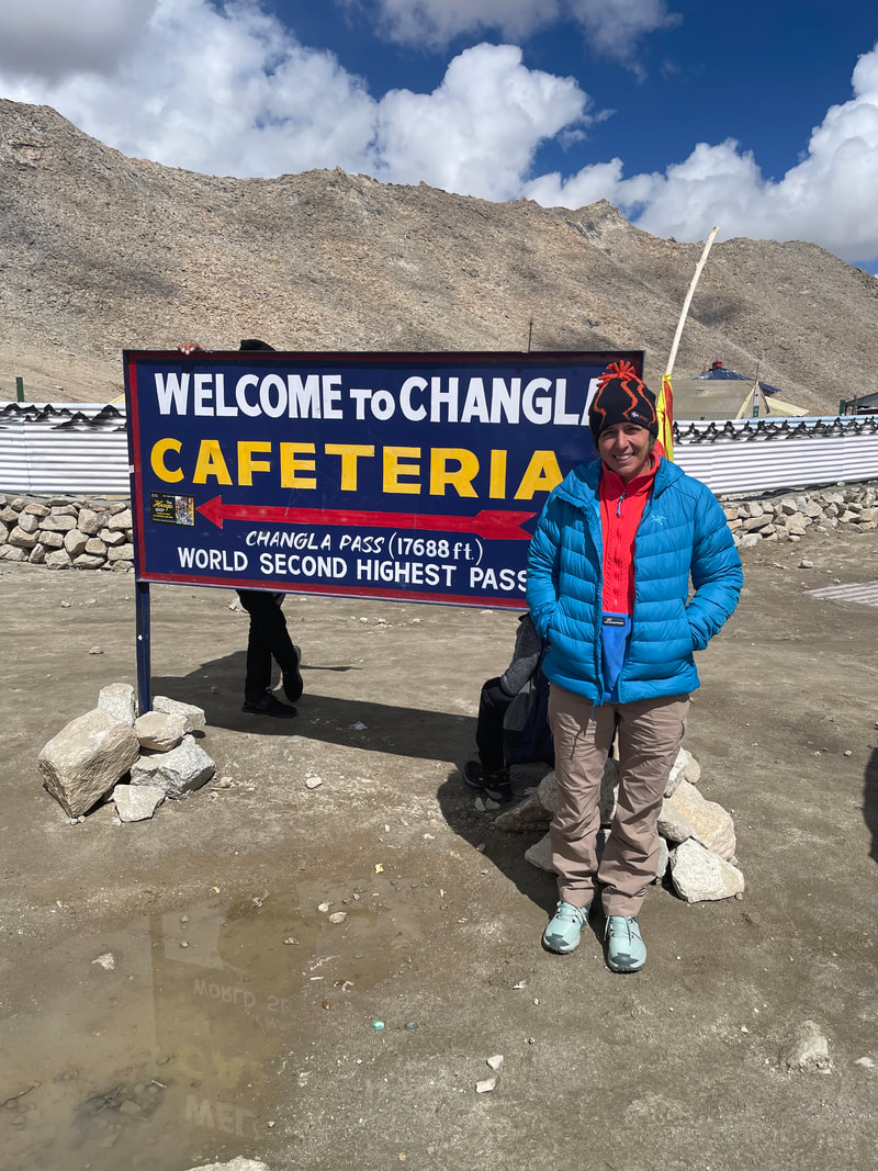
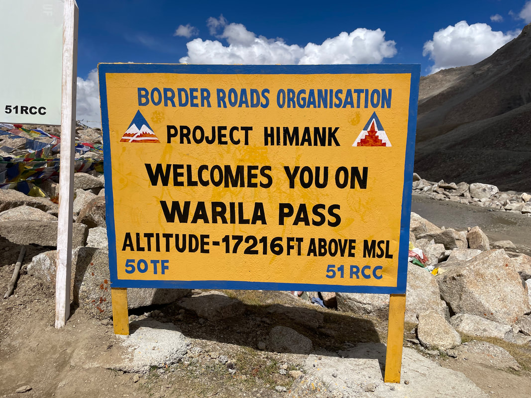
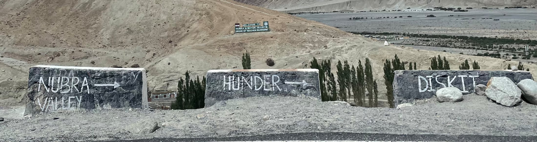
ROAD TRIP - PANGONG LAKE and NUBRA VALLEY
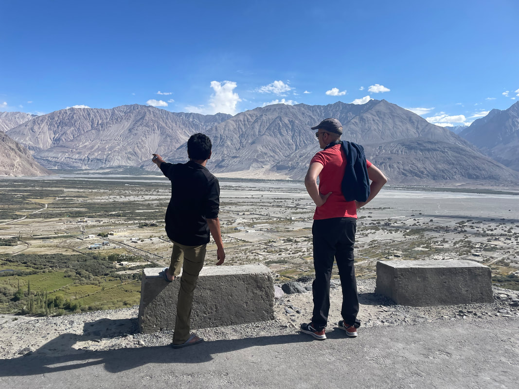
A selection of photographs from our 3 day road trip.
A selection of photographs from our 3 day road trip.

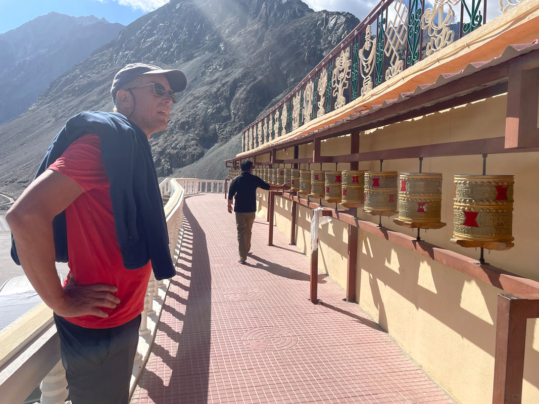
Diskit Gompa
My review for Dreamland Trek and Tour:
From arriving in Leh, at the Dreamland office, to departure our experience was without complaint or hitch. We were given the trip of a lifetime with every detail so calmly organised. Our guide Idga was excellent- so good at planning, very knowledgeable and reliably looking after us. The cook Beem was a genius and a true character and the pony man kept happy healthy ponies and the little donkey.
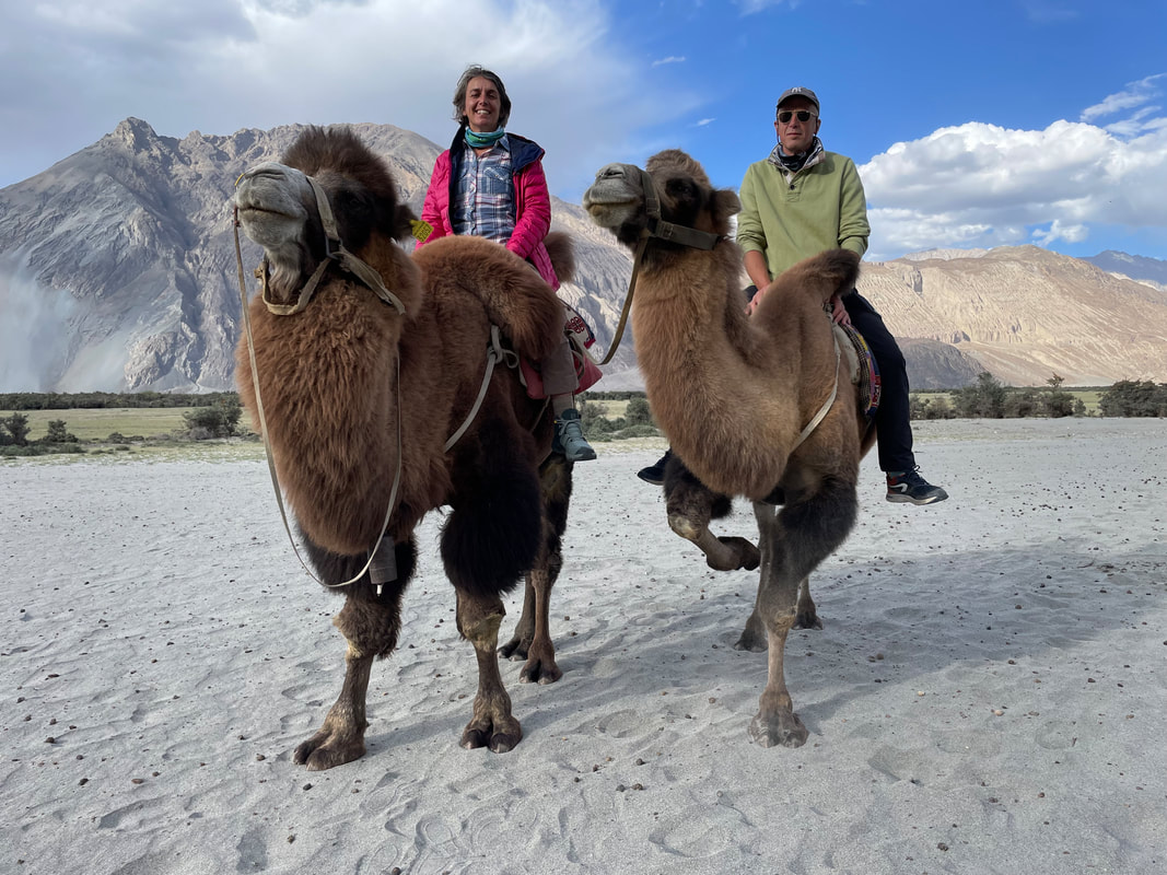
The scenery was breathtaking and every corner turned, a different vista. My favourite bits were the high passes, what a wonderful feeling. Javeed made sure we had the best experience and organised at trip to Pangong Lake and Nubra Valley after our trek where we had a ride on two hump camels. Can’t fault anything- Can’t wait to go back. Thank you Javeed, Idga, Beem, our pony man and our driver Ali.
From arriving in Leh, at the Dreamland office, to departure our experience was without complaint or hitch. We were given the trip of a lifetime with every detail so calmly organised. Our guide Idga was excellent- so good at planning, very knowledgeable and reliably looking after us. The cook Beem was a genius and a true character and the pony man kept happy healthy ponies and the little donkey.
The scenery was breathtaking and every corner turned, a different vista. My favourite bits were the high passes, what a wonderful feeling. Javeed made sure we had the best experience and organised at trip to Pangong Lake and Nubra Valley after our trek where we had a ride on two hump camels. Can’t fault anything- Can’t wait to go back. Thank you Javeed, Idga, Beem, our pony man and our driver Ali.
THE END
Blaen Hafren Falls
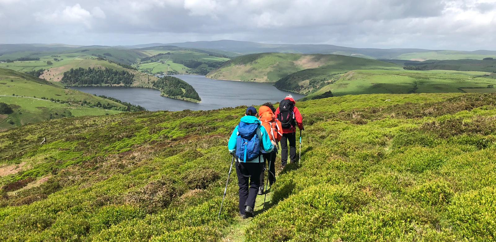
Explore the Cambrian Mountains - an account by Wendy Cottis
I loved the four days at Wigwam Holidays Hafren (glamping pods) with Bryn Walking taking on the Cambrian Mountains. Having done the walks previously (2020 with Bryn Walking) I knew the terrain a little was looking forward to walking with Karen, Eileen and Natalie. Helen’s planning ensures I can just enjoy myself with the other clients and not have to worry about route planning.
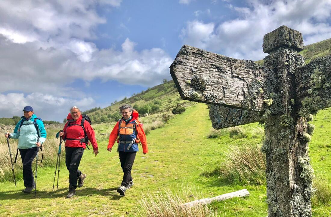
| Day 1 Our first afternoon walk is Foel Fadian and Glaslyn nature reserve. A lovely walk to break us in. This takes in a breathtaking trig point with fine views across to Cadair Idris and Aran Fawddwy. A gentle descent then takes us over to and around a few lakes, involves rescuing a ewe trapped between a fence and a gatepost, hearing from Helen the story of a deserted farmstead we pass, and then at a spectacular escarpment which we overlook for a coffee stop. All along the way we stop to share, point out and research some of the weird and wonderful plants, bugs and wildlife we encounter. There is an unhurried feel to the afternoon as we get to know each other. | 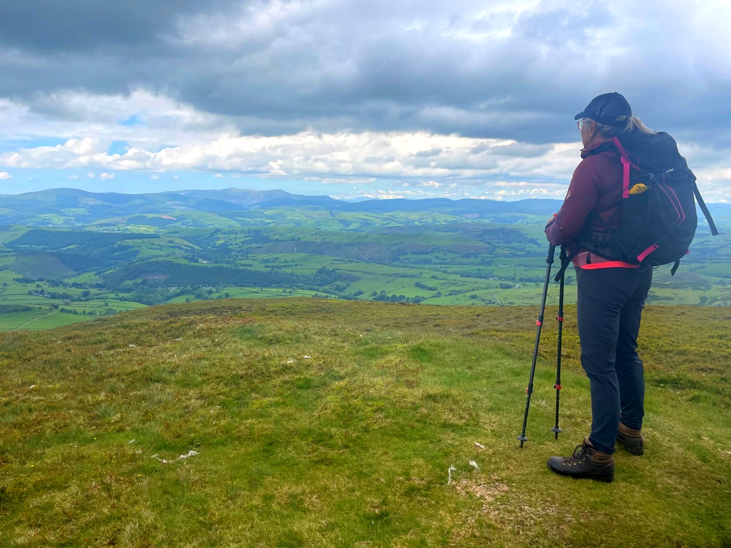 Wendy looking towards Cadair Idris from the top of Foel Fadian (564m) |
Day 2
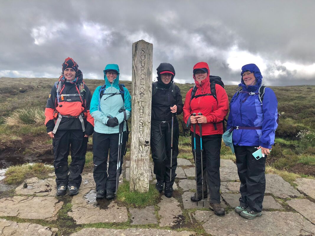
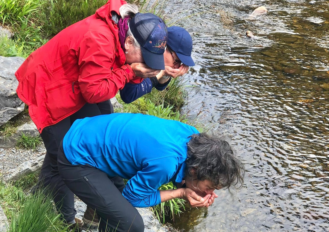
Day two is the Source of the Severn walk from Hafren Forest following in the footsteps of George Borrow, a nineteenth century wordsmith who undertook a tour of Wales in 1854. His book Wild Wales published in 1862 records his musings on this part of Wales and his quest for the source of the Severn, the Wye and the Rheidol. He felt compelled to drink from the source so he could ‘…harangue about them with a tone of confidence and authority.’ p493. 'On taking possession of the Severn by drinking at its source’, he declared it ‘rather a shabby source for so noble a stream’ p495. Anyway it felt only right and proper for some of us to also take possession of the Severn albeit it a bit further down from the peat hags.
Day two is the Source of the Severn walk from Hafren Forest following in the footsteps of George Borrow, a nineteenth century wordsmith who undertook a tour of Wales in 1854. His book Wild Wales published in 1862 records his musings on this part of Wales and his quest for the source of the Severn, the Wye and the Rheidol. He felt compelled to drink from the source so he could ‘…harangue about them with a tone of confidence and authority.’ p493. 'On taking possession of the Severn by drinking at its source’, he declared it ‘rather a shabby source for so noble a stream’ p495. Anyway it felt only right and proper for some of us to also take possession of the Severn albeit it a bit further down from the peat hags.

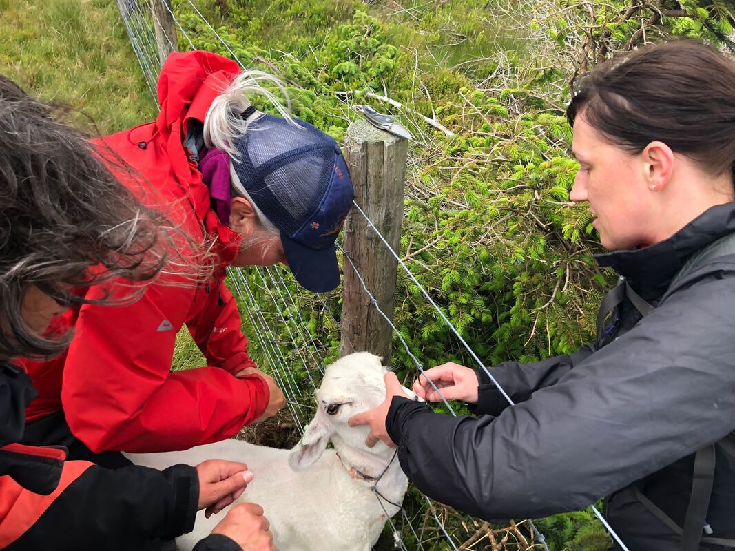 A woolly rescue | Another sheep rescue, this time one with its head well and truly caught in pig fencing in a bizarre fashion! A team effort with Natalie holding its head and comforting it, (deep eye contact!), me straddling it to keep it still and Alan and Helen taking it in turns sawing at the fence with first aid scissors until it was free. It ran off to the rest of the flock with severe wire injuries but still alive! The day was rounded off at The Whistling Badger in Llanidloes with great food, company, stories and a few drinks. |
Day 3
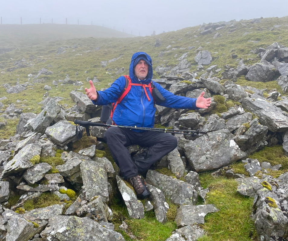
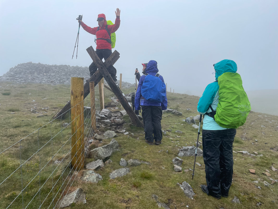
Day three saw an easy ascent to Pumlumon for a repeat of last year’s fog and rain! No sheep rescues today! Undeterred onwards we go for a spectacular walk down through the abandoned lead mines, a truly humbling experience as so many relics of the past remain.
Day three saw an easy ascent to Pumlumon for a repeat of last year’s fog and rain! No sheep rescues today! Undeterred onwards we go for a spectacular walk down through the abandoned lead mines, a truly humbling experience as so many relics of the past remain.

Our last evening was a BBQ ably presided over by Alan Ward who never fails to BBQ to perfection, no matter the weather. We all contributed and had another lovely evening of laughter and fun.

Day 4
The morning of our departure saw a couple of us take on one more hill, Bryn y Fan, to be rewarded with amazing views of Llyn Clywedog. This is a hill with a lot to offer and was well worth the 45 minute climb. Sitting above the lake, in the sunshine, was a special time for us to just sit and enjoy the moment.
The morning of our departure saw a couple of us take on one more hill, Bryn y Fan, to be rewarded with amazing views of Llyn Clywedog. This is a hill with a lot to offer and was well worth the 45 minute climb. Sitting above the lake, in the sunshine, was a special time for us to just sit and enjoy the moment.
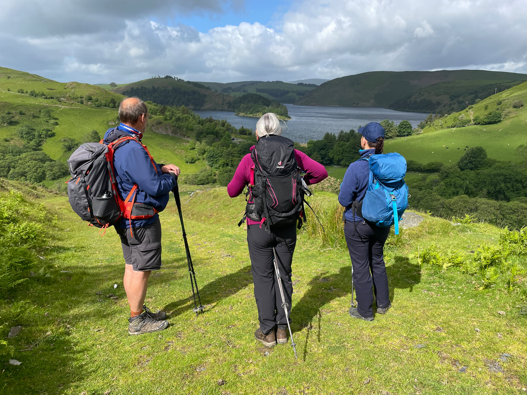

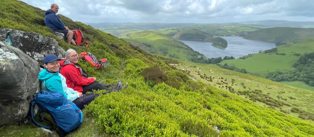
Picnic with a beautiful view
Hopefully I’ll be back next year when maybe, just maybe, Pumlumon will favour us with sunshine and views. Fingers crossed.
THE END
Thank you Wendy!
THE END
Thank you Wendy!
 This trip was arranged by Alan Ward (an International Mountain Leader) who is very experienced in the area and has a good working relationship with the Kasbah du Toubkal. |
Getting to Morocco
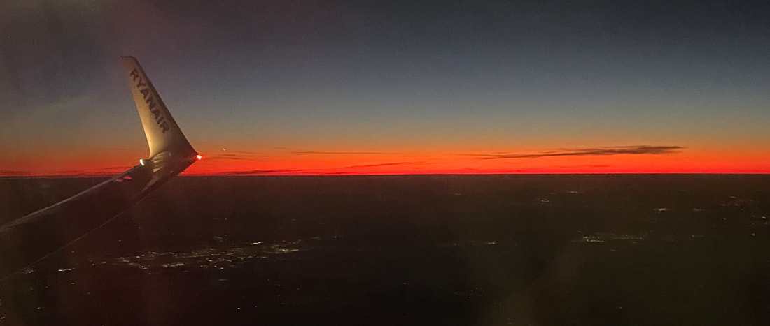
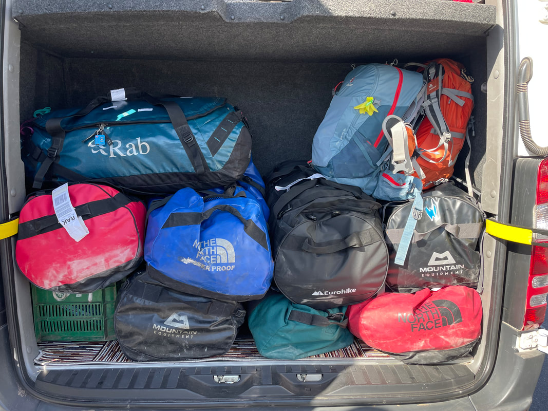
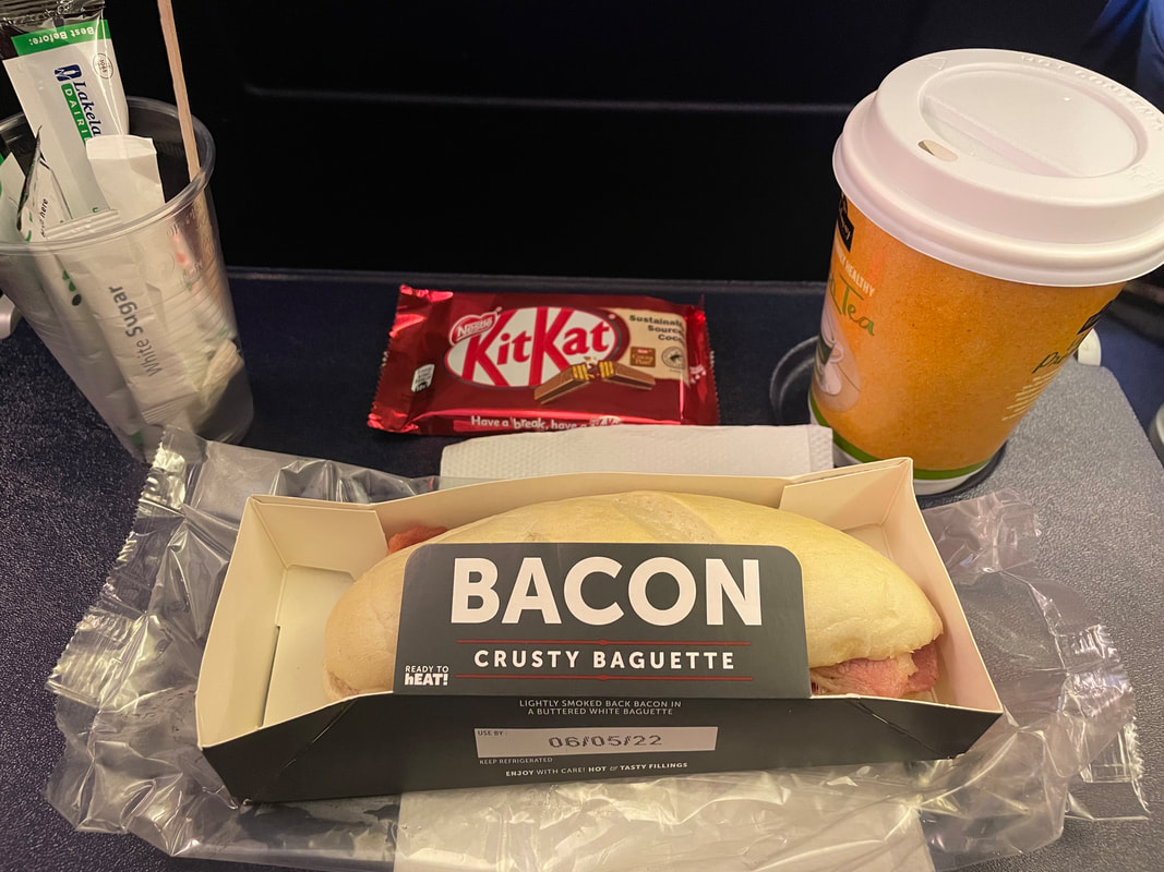
| I flew by Ryanair. The baggage check-in and security was all very straight forward, although because of the ‘soft’ hold bag I was directed to baggage security but it was no problem. I had a 20kg hold bag limit (100ltr base camp bag, weighing in at 16kg) for most of my kit, and 10kg cabin bag (my day sack - 34ltr Dueter rucksack) plus a bag to fit under the seat in front. I wore my walking boots to travel in. My walking poles and ice axe were packed well into the hold bag, I put thick cardboard cups over the sharp ends - although I think you can buy specific caps for poles when travelling. If you travel Ryanair, I wouldn't advise preordering breakfast - you have to opt for return travel too and to be honest, I couldn't eat it. | 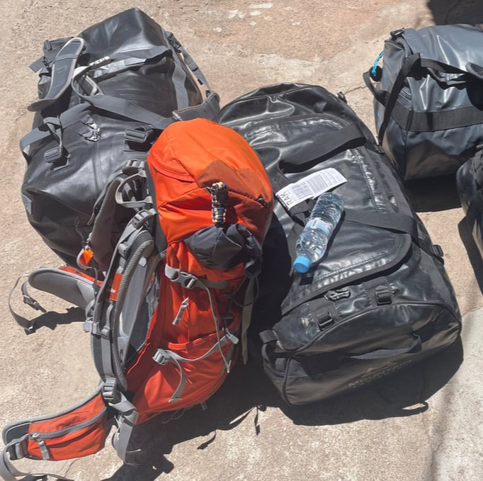 |
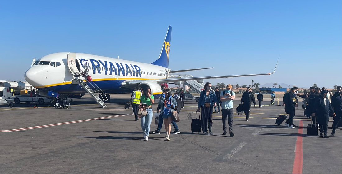
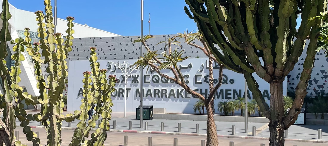
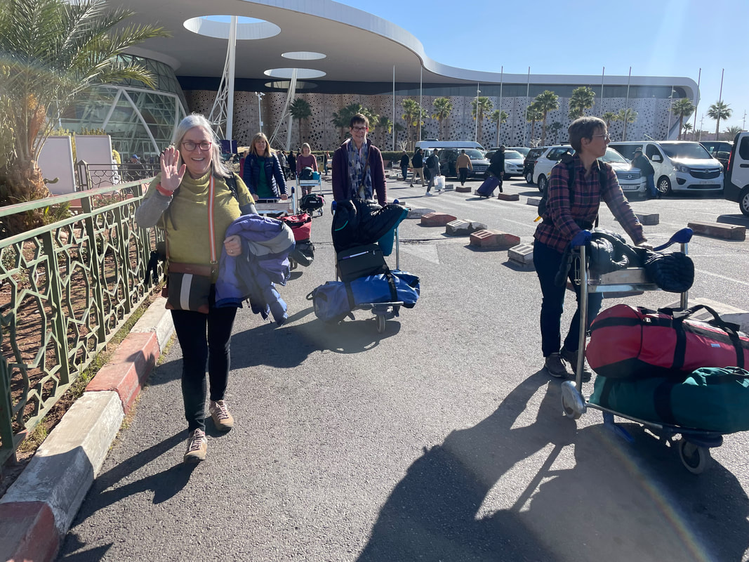
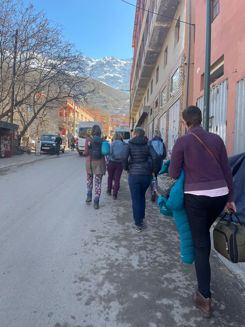
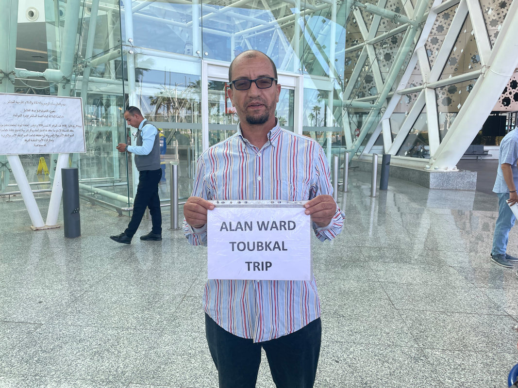
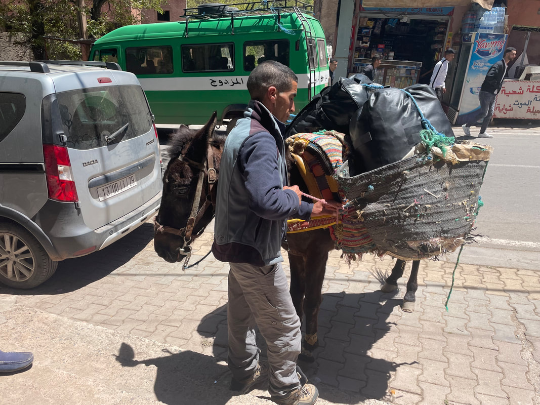
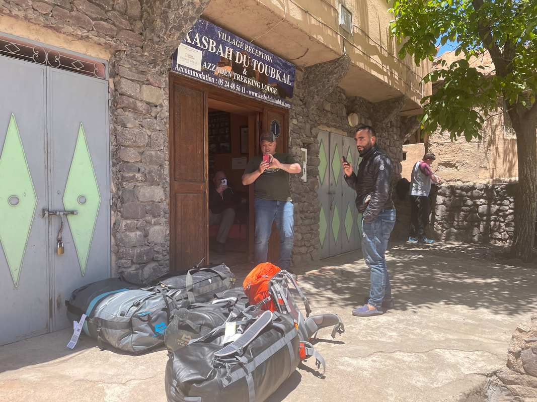
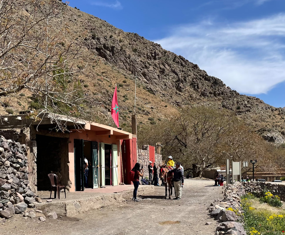
Outside the airport (there is only one exit) look for your driver who will be holding a card with a familiar name. Our driver was Idris and was holding a card clearly saying ‘Alan Ward’. It is a good idea to have some water for the nearly 2 hour drive up to the Kasbah du Toubkal, winding up and up into the Atlas Mountains but your driver will stop and purchase some if you’ve been unable to get some. Some of the road surfaces are very rough and bumpy but on the whole it is an interesting and scenic drive. There were 4 of us in the taxi and each tipped our driver 50 MAD (approx.. £5) total 200 MAD on arrival in Imlil. Here we waited at the Kasbah office for our mules and muleteers to take us and our kit bags up to the Kasbah. It is about a 30min walk on a rough path (would advise trainers or equivalent ie not flipflops)
Money and Tipping
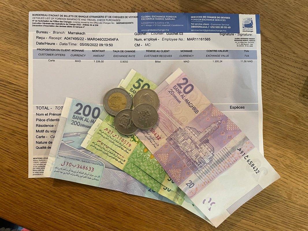 | Money – either take cash(notes) to change or a bank card. You can’t get the Moroccan dirham over here because it is a restricted currency meaning that Morocco only let a certain amount into other countries. When you get to Marrakesh airport and you are through security and baggage, make your way to the Exchange at the airport and purchase your dirham. Make sure you ask for a variety of notes so that you can pay tips easily. Tipping- If you have been with a driver or guide or a cook, muleteer for several days and you have been pleased with his work a tip of about:-100DH to 150DH for driver or guide and 50DH to 100DH for cook, muleteer, or so per day. This is something that would be very welcome. |
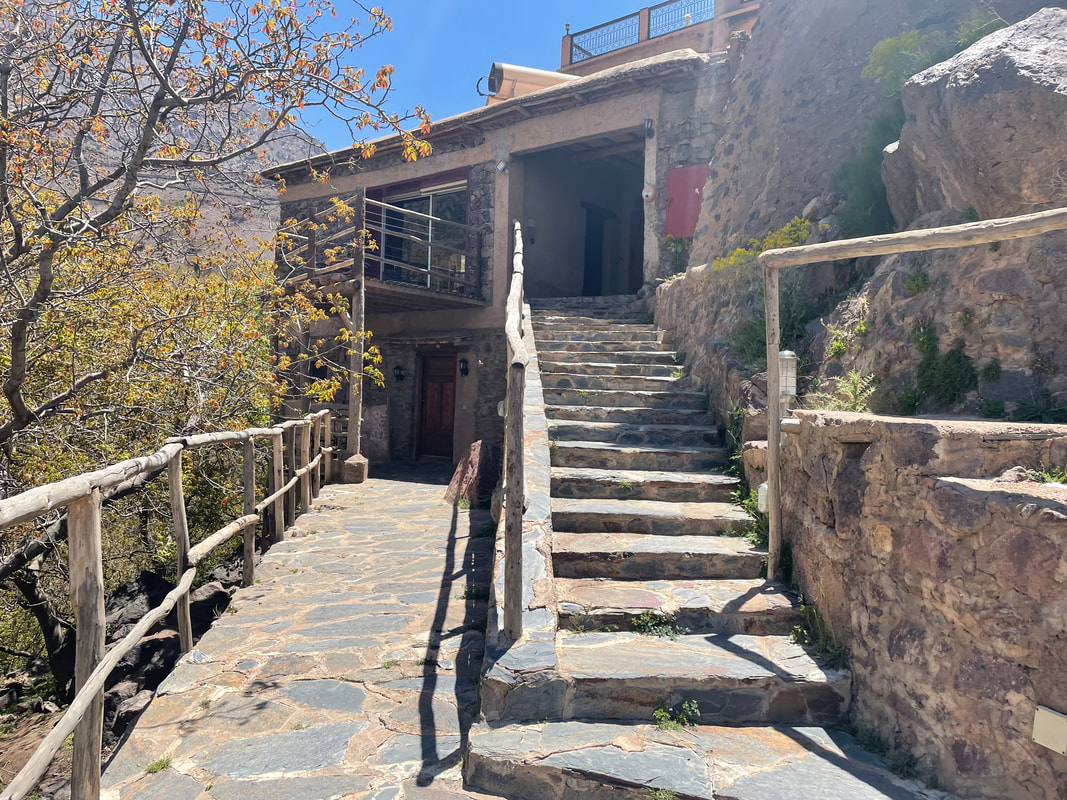
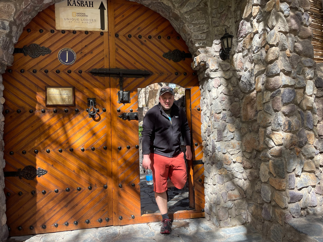
Accommodation - The Kasbah du Toubkal
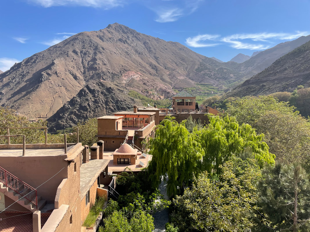
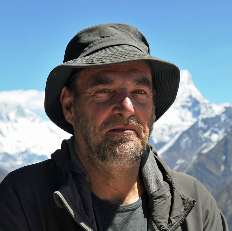
 The Kasbah du Toubkal is a very Moroccan hotel (1800m) perched on a hill in the village of Imlil in the Park National du Toubkal. From almost anywhere you stand you can see Jbel Toubkal (4167m) the highest mountain in north Africa. The hotel is extremely homely, relaxed and very well thought out. While at your stay all food and drinks are included and the staff are more than happy to bring you some Berber tea at anytime. They use a green tea base and add mint, rosemary, camomile… – whatever is available and sugar of course. All the staff are very welcoming, cheerful and helpful. You will meet at reception, Mohamad, Hassen, Lachen and Hajj Maurice - a very smiley bunch. From the kitchen you will meet amongst many fantastic and attentive staff, Hassen and Houssin. At the Kasbah you will be introduced to your guide (it is illegal to go beyond the checkpoint at Aroumd without a licensed guide). Our guide was Abdul (pronounced Abdil). A very experienced mountain guide, summiting Toubkal at least 500 times and had once guided Daniel Craig in the Sahara for the film Spectra. When we met him had a 31 day old baby boy at home. Next time I go out there I shall take some clothes for his baby. | 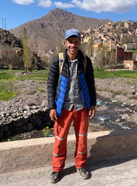 Our Guide - Abdul |
Food and Drinks
While at the Kasbah this is what you will be typically served. There is no menu, so relax and immerse yourself in the culture.
Breakfast:
Sweetened yoghurt with honey or Amlou (a ground almond, honey and argon oil paste), dried fruit to mix in.
Fresh bread
Boiled eggs
Pancakes
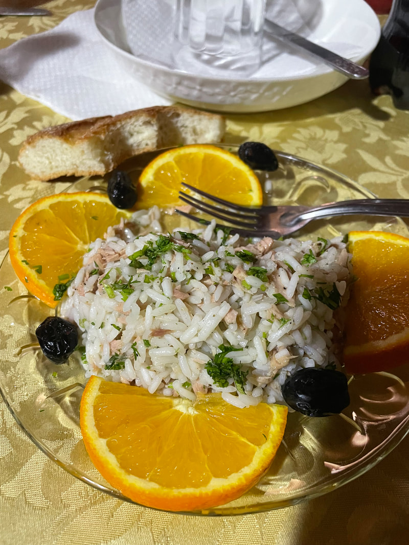
Lunch/Dinner:
Soup
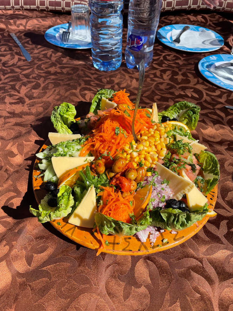
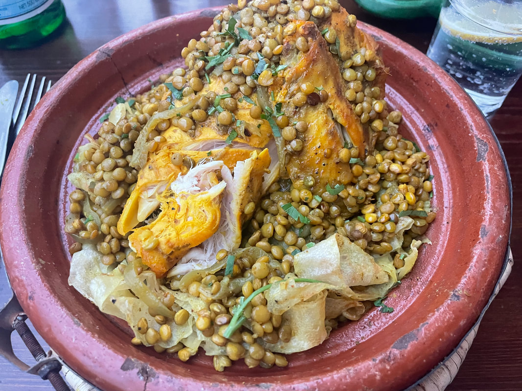
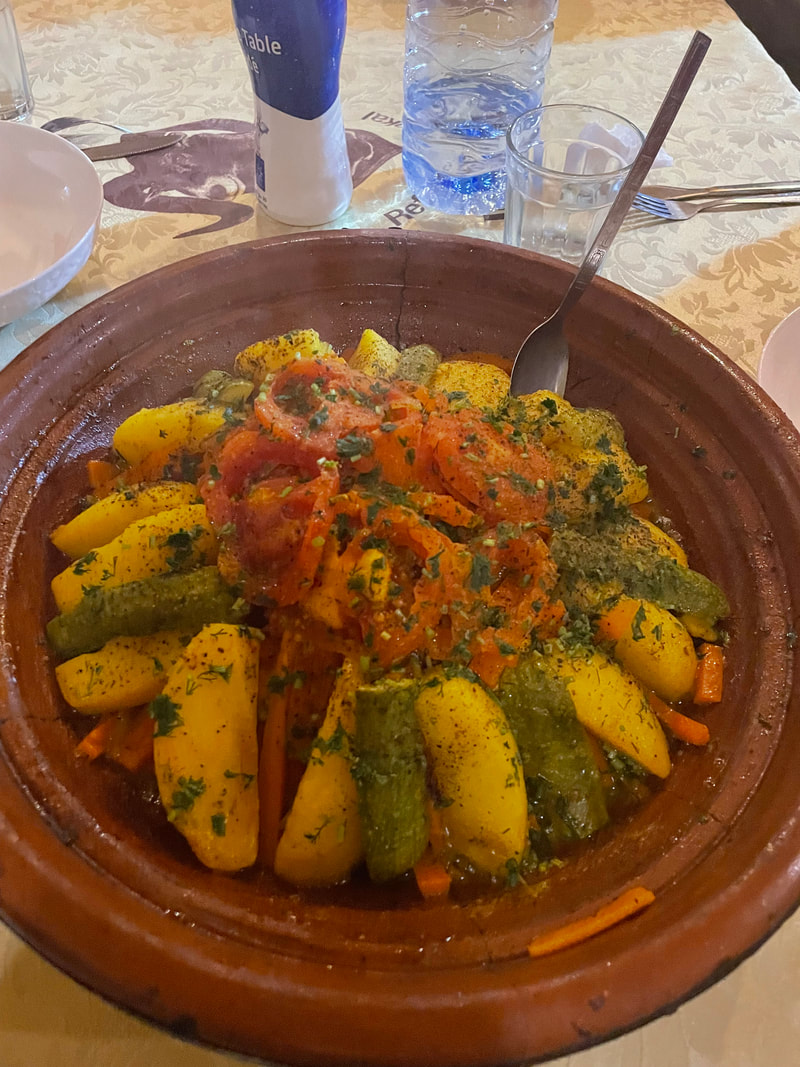
Tagine of any kind (usually with prunes, figs and apricots) with a vegetable tagine too, salad, rice or cous cous, bread.
Freshly prepared fruit
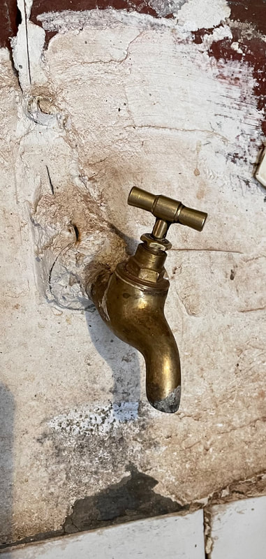
Drinks – you cannot purchase alcohol but you can drink it if you have brought it with you. I decided to take the opportunity not to drink any alcohol while on my stay in Morocco. Drinking water is always brought to the table. A jug is provided in your room to fill up from the tap outside which supplies filtered drinking water. You use this tap to fill your hydration systems and water containers.
Breakfast:
Sweetened yoghurt with honey or Amlou (a ground almond, honey and argon oil paste), dried fruit to mix in.
Fresh bread
Boiled eggs
Pancakes
Lunch/Dinner:
Soup
Tagine of any kind (usually with prunes, figs and apricots) with a vegetable tagine too, salad, rice or cous cous, bread.
Freshly prepared fruit
Drinks – you cannot purchase alcohol but you can drink it if you have brought it with you. I decided to take the opportunity not to drink any alcohol while on my stay in Morocco. Drinking water is always brought to the table. A jug is provided in your room to fill up from the tap outside which supplies filtered drinking water. You use this tap to fill your hydration systems and water containers.
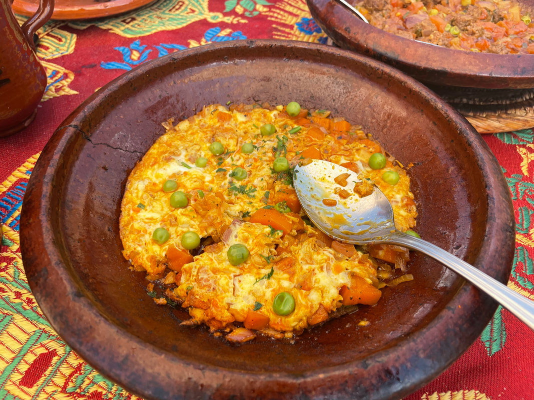
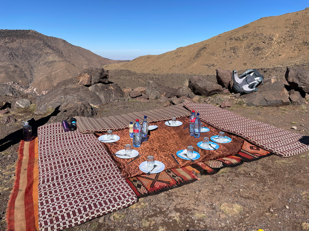
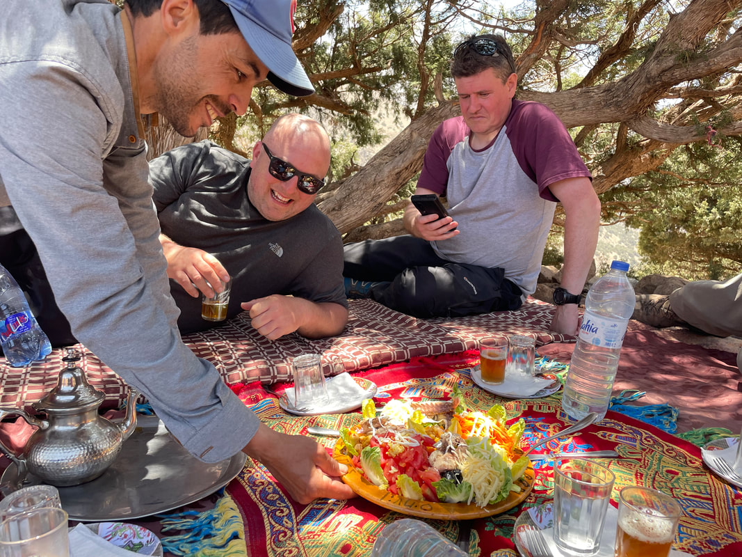
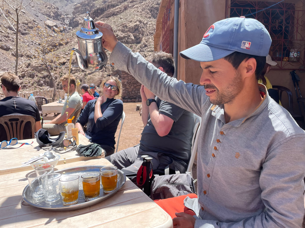
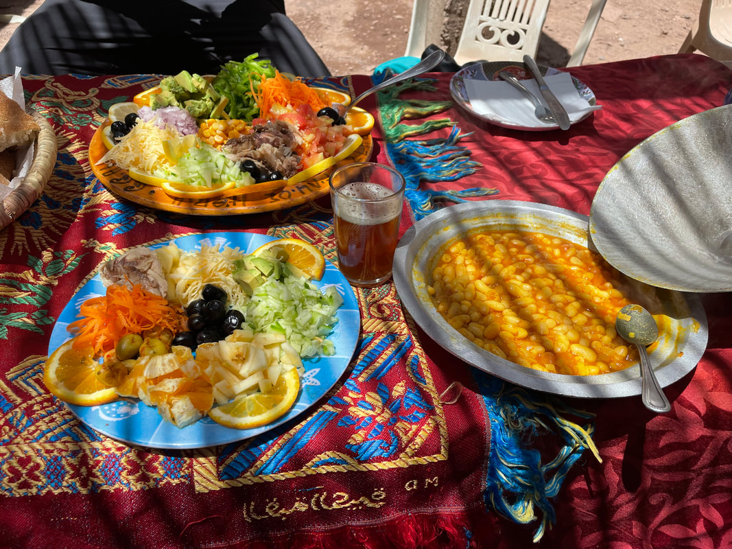
Food on the move
If you need snacks often like me – bring your own, that’s essential and it‘s good manners to share with your guide so bring some for him/her too. As far as lunch goes, you are in for a surprise, you wouldn’t believe what they cook for you up in the mountains – a picnic like you’ve never had before! Bottled water is supplied at lunch time and Berber tea of course.
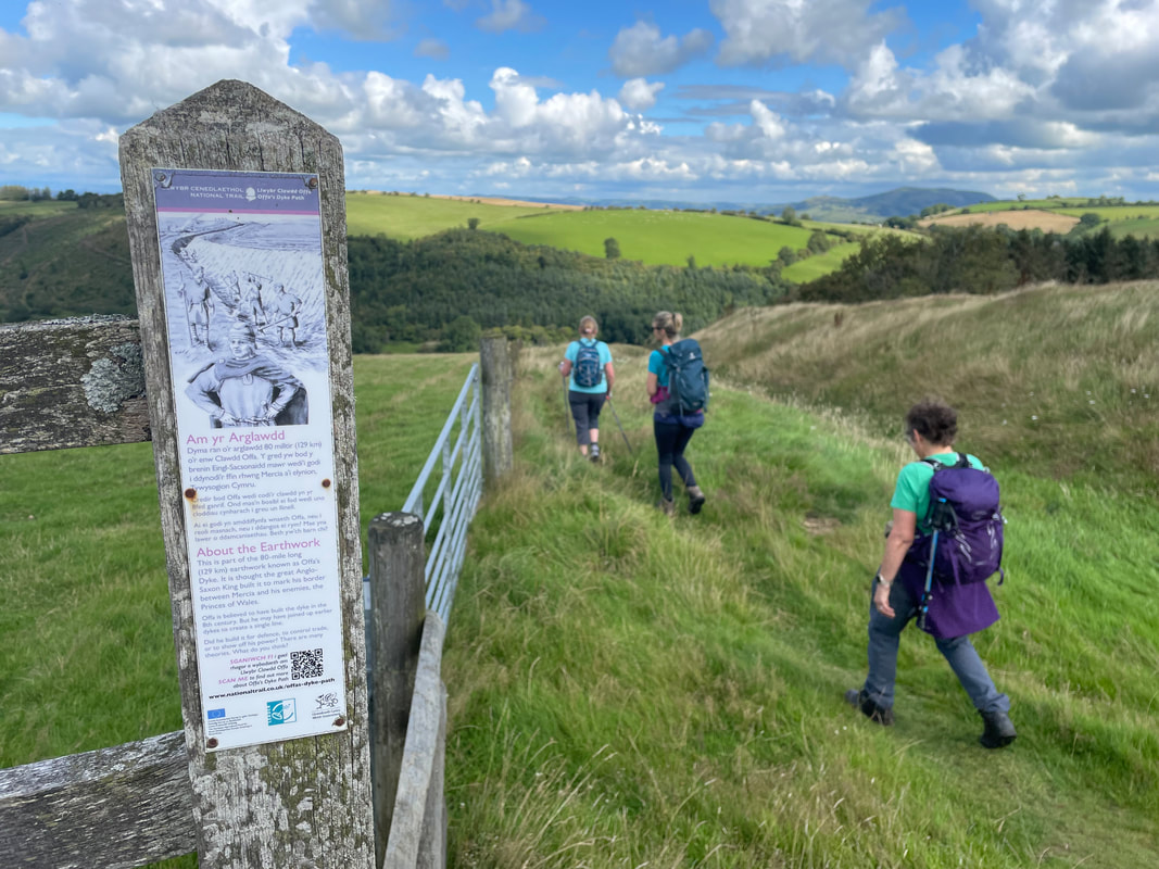
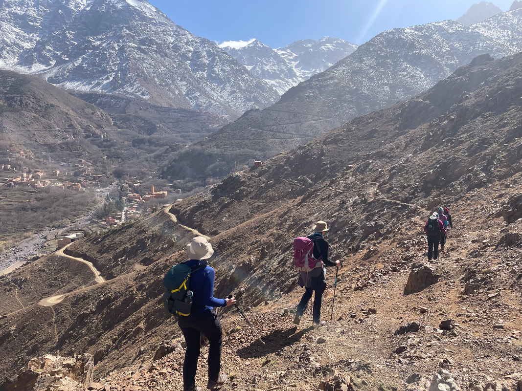
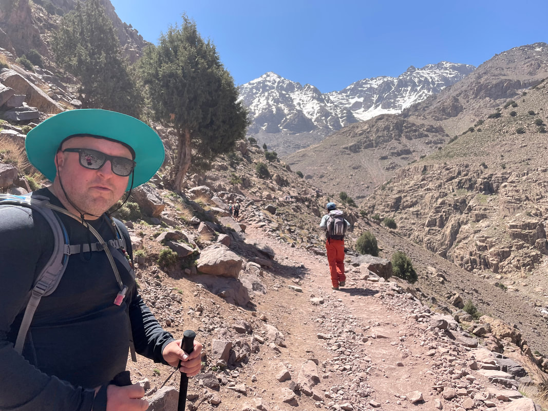
Terrain of the Walking Routes
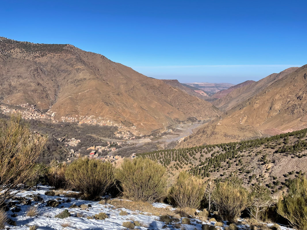
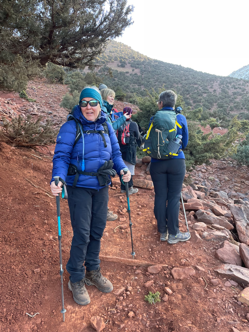
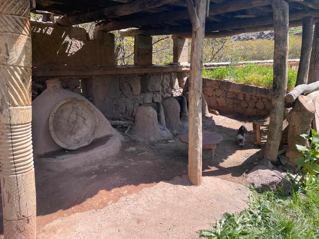
| Dusty is the first word that springs to mind. This dust is extremely fine and can irritate your nostrils and lungs (and lead to respiratory complaints) so a buff is sensible if you are walking behind someone and downwind. Some of the terrain is loose so poles are useful on down hills and a kind of ‘keep going quickly’ technique is best. The routes are pretty and the scenery of the surrounding mountains is spectacular. There are lots of different herbs growing which the locals use in the cuisine. Aquatic mint is used in the green Berber tea, the rosemary too, also camomile, vervain and thyme, to name a few. | 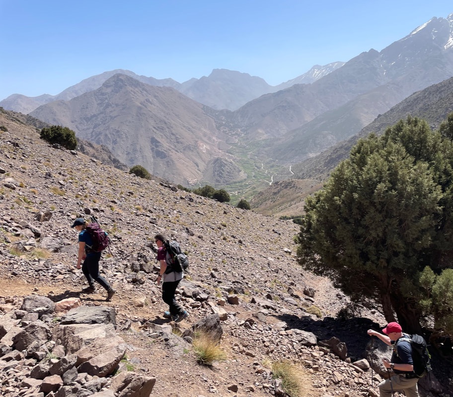 |
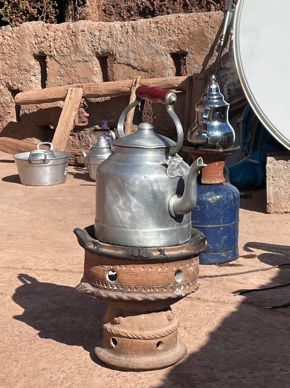
Making purchases at the local stalls
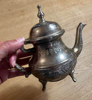
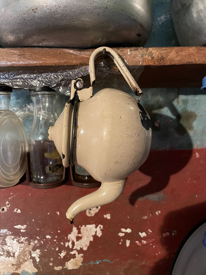
In the village of Imlil, the Oued Rheraya valley and the route up to the Mouflons Lodge are stalls selling typical Moroccan wares eg tagines, rugs, jewellery, and argon oil. Many of the stall holder will tell you that they live in the community and are part of the co-operatives but it's wise to ask your guide for advice on which stalls are genuine and really do support the community. We had time to visit a stall that had been recommended - it was a great experience, ran by a very entertaining stall holder. They expect you to bargain with them so don't accept the first price. I couldn't resist a tea pot!
NB - there is a huge variety of gifts and items to spend your money on at the airport in Marrakesh but it's all very expensive and most of the shops only takes Euros, so get rid of your spare cash in Imlil!!
NB - there is a huge variety of gifts and items to spend your money on at the airport in Marrakesh but it's all very expensive and most of the shops only takes Euros, so get rid of your spare cash in Imlil!!
Jbel Toubkal (4167m)
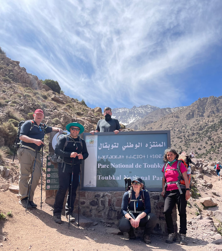
Our guide sorted out our visas for the Aroumd checkpoint in the valley base (copies of our passports) and we set off from the Kasbah, after a filling breakfast, at 0900.
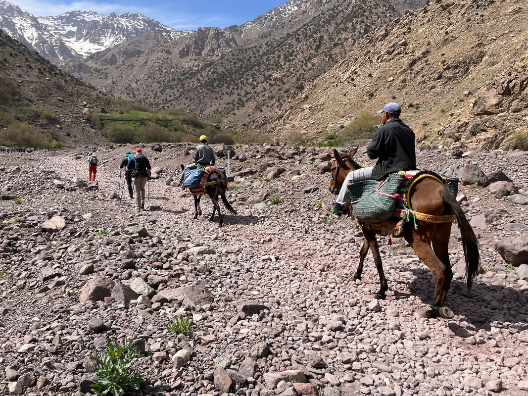
The route takes you up the Oued Rheraya valley, then at Sidi Chamharouch - a welcomed tea stop (approx. 2300m) and then at Azib Taouount - lunch (approx. 2700m).
The route takes you up the Oued Rheraya valley, then at Sidi Chamharouch - a welcomed tea stop (approx. 2300m) and then at Azib Taouount - lunch (approx. 2700m).
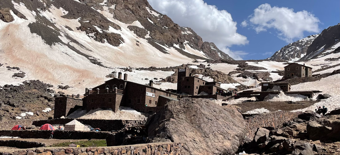
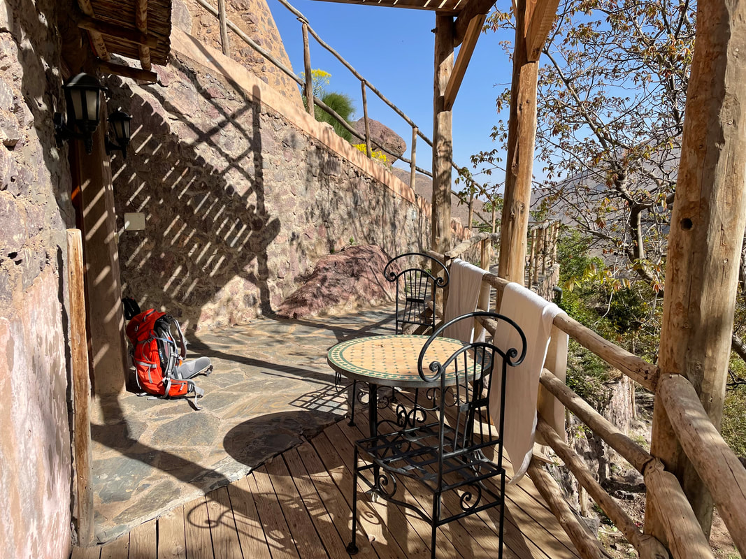
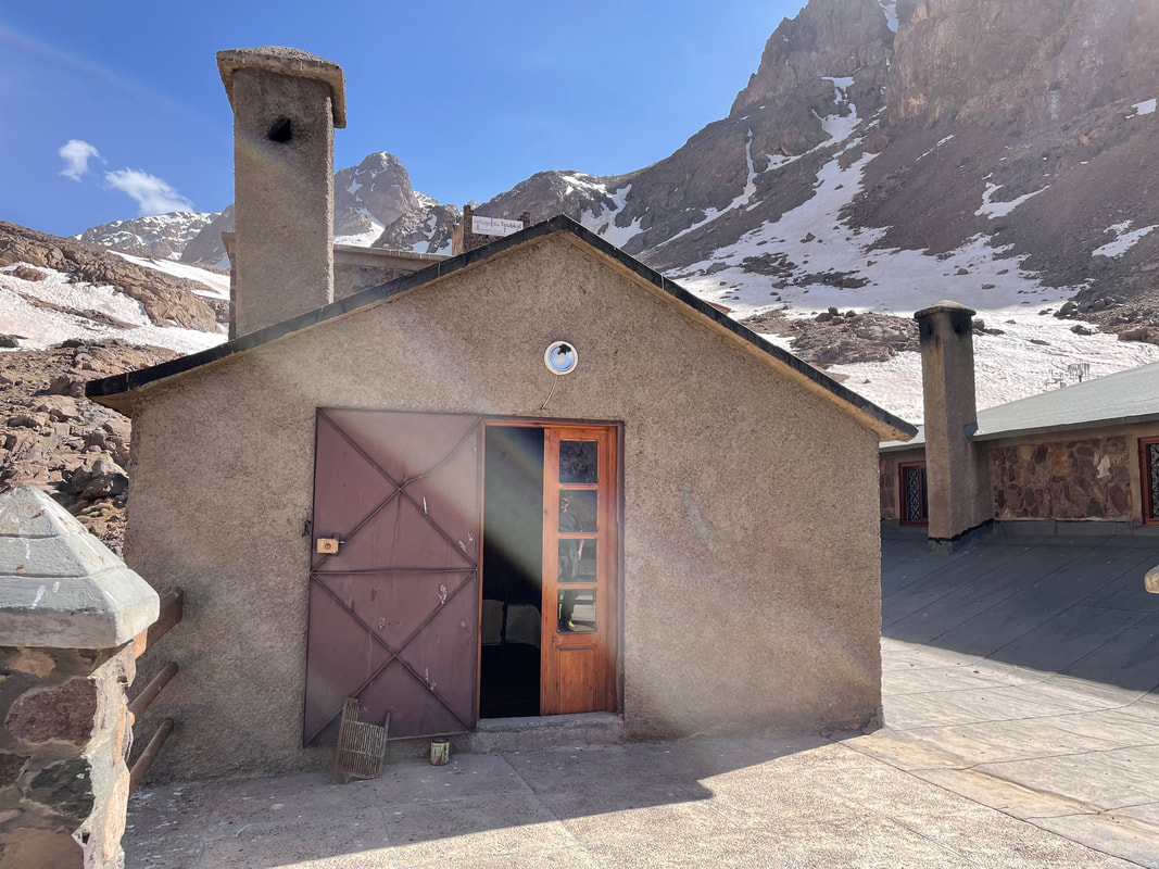
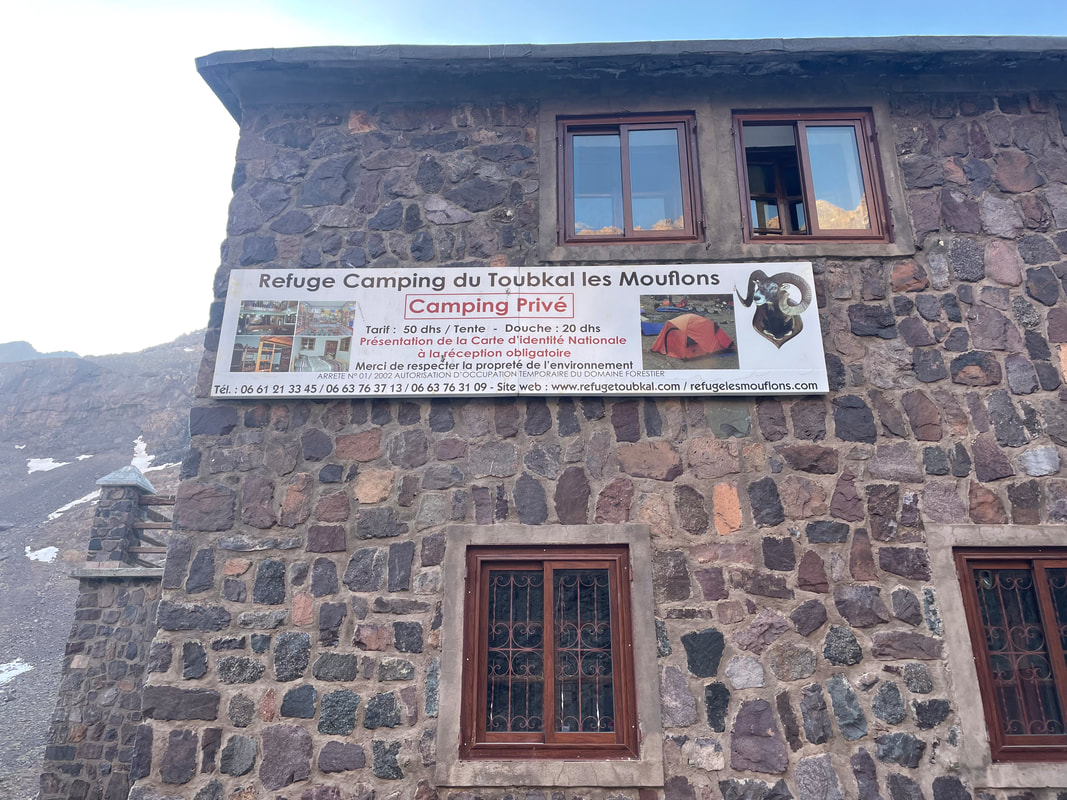
We felt very smug that Alan Ward had arranged a two night stop for us at Les Mouflon Lodge (3100m). This meant that we started our summit day at 0700 and returned to the lodge at 1500 to relax. Most summit treks start at 0300 and trekkers return to Imlil on the same day. The day that we set out for the summit, the clocks had changed – apparently there had been chaos at the early start as some people were aware of the time change, but some weren’t, some people’s phones had changed automatically and some hadn’t. We had arranged with our guide to stick to the old time until Monday morning.
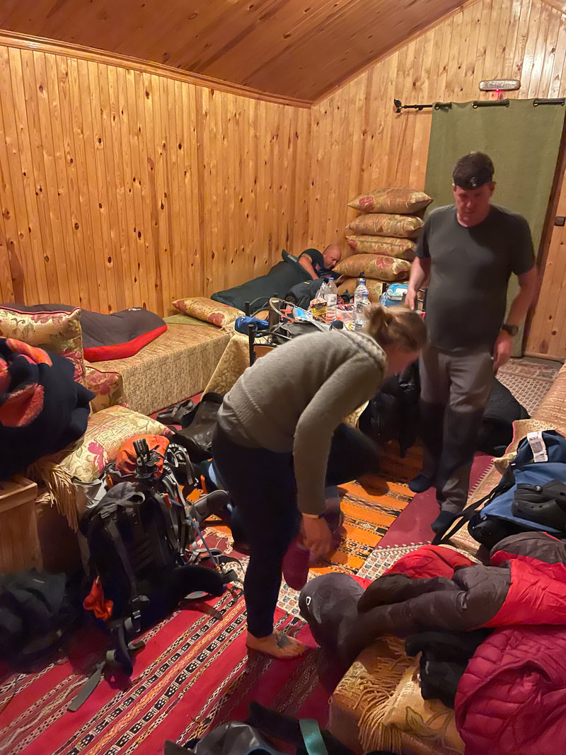
At Les Mouflons Lodge the electricity is on a timer, something like 1900 -2130 depending on the time of year so a head torch is essential. The food is unbelievably good, so long as you feel well enough to eat it.
At Les Mouflons Lodge the electricity is on a timer, something like 1900 -2130 depending on the time of year so a head torch is essential. The food is unbelievably good, so long as you feel well enough to eat it.
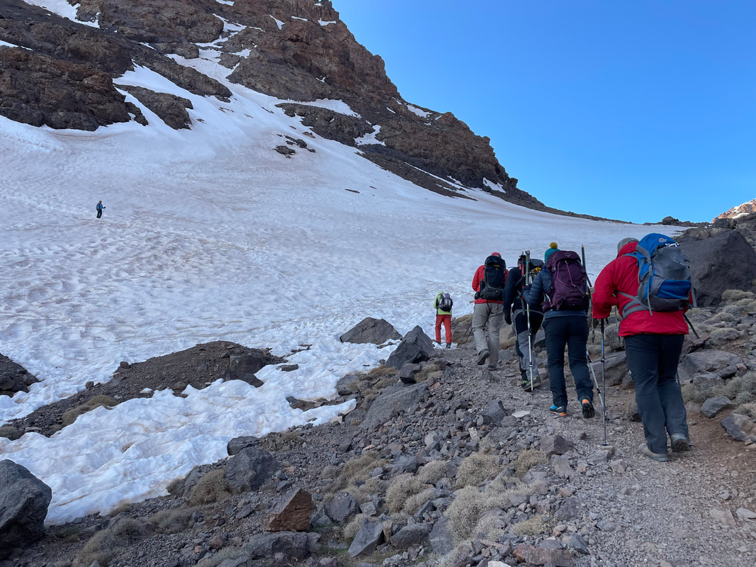
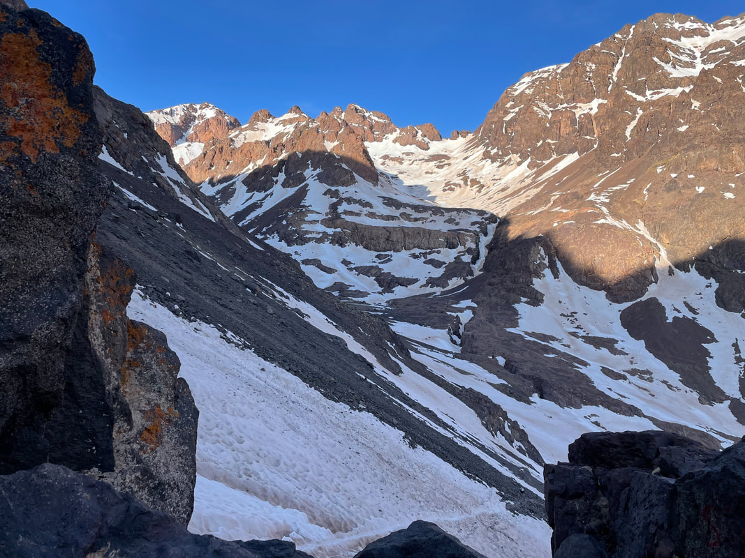
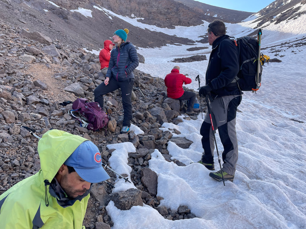
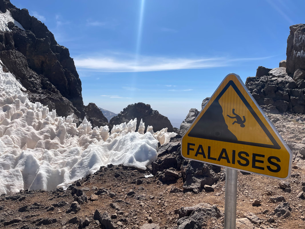
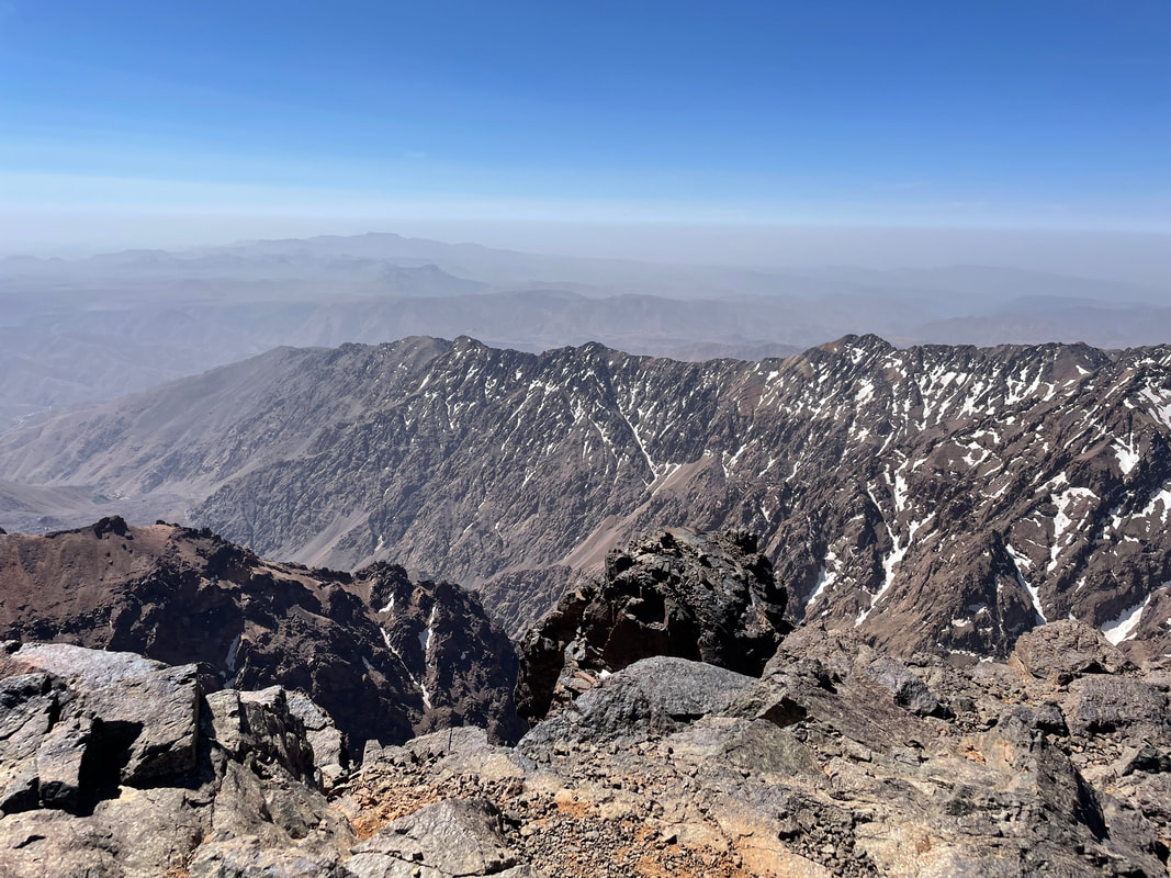
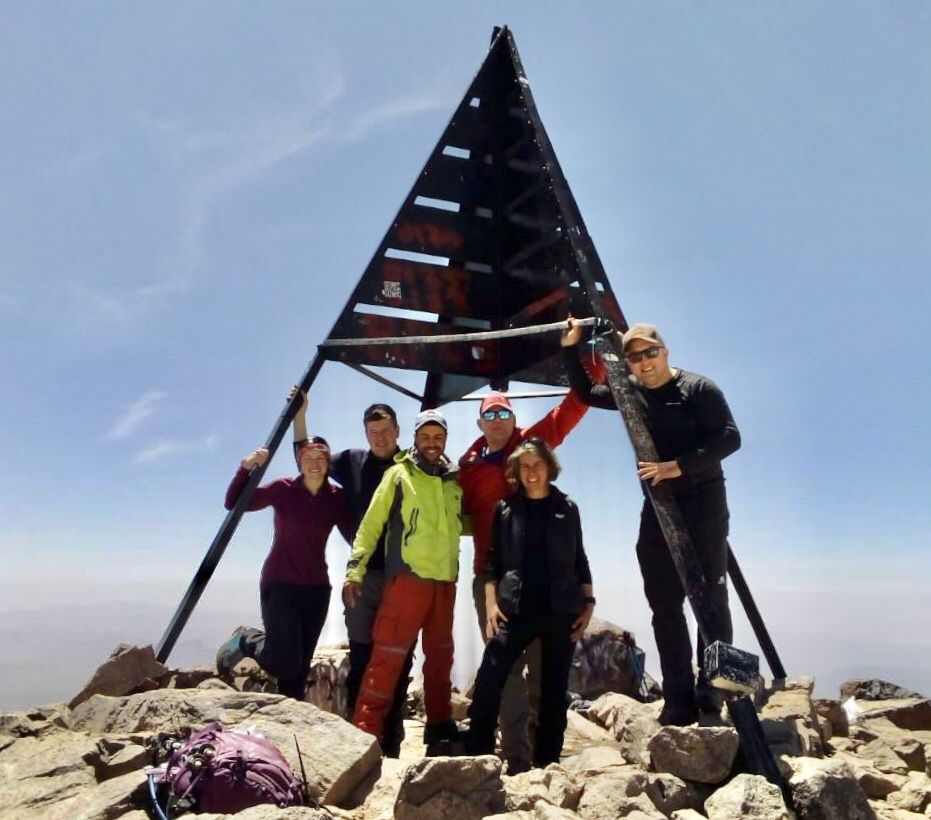
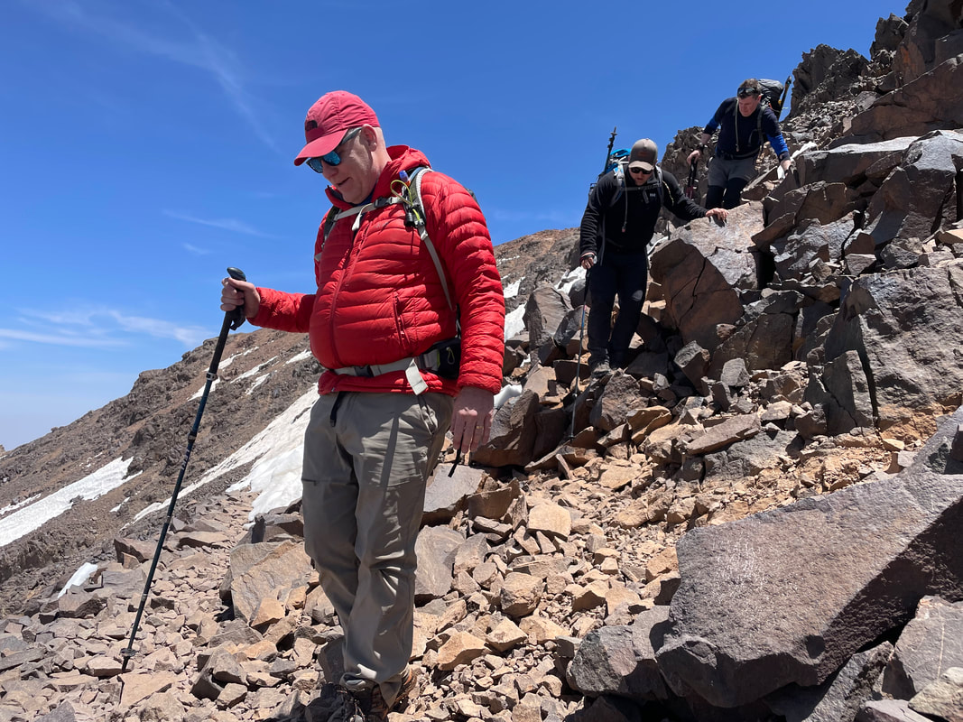
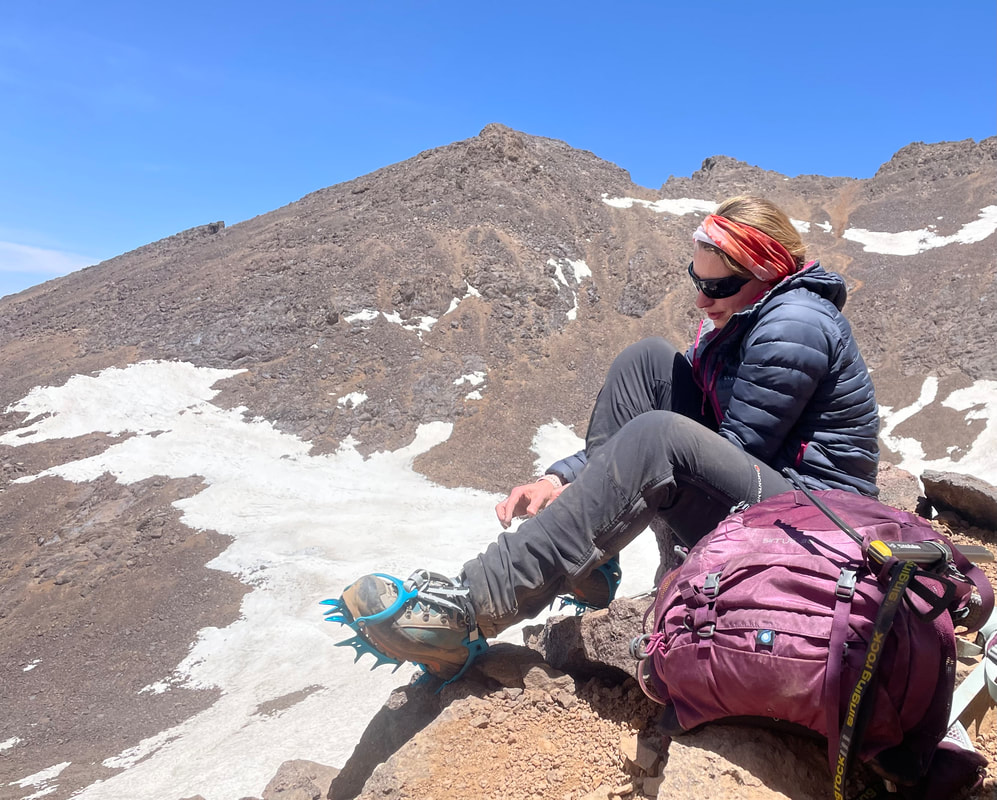
There was snow at the lodge so we packed our crampons (for the descent). The sun was very warm and there was very little wind, lucky in this respect. The trek up is a slow plod, but you really couldn’t walk any faster, it’s all up, steep and the air is thin. Time is limited at the top (4167m) to about 20-30 mins because of the high altitude, enough time to absorb the fantastic views of the Atlas Mountains and to take a few photos of course. The warm sun made the snow very slippery on the way down but we had exciting and varied terrain, it was great fun. Arriving back at the high lodge Les Mouflons, 8 hours later, we could relax and rest before dinner.
Once the mules were ready the next day we made an early start and headed back down the valley. As the sun got hotter the dust in the air made views very hazy so we had happened to get the timing perfect on our summit day. On reaching the valley base the muleteer and cook tethered the mules and relieved them of the heavy load and then set up their mountain kitchen, producing yet another fabulous meal and Berber tea. We weren’t going to see Mohamad and Youssef after this so we tipped them 500MAD each and Abdul 1000MAD.
What I’d bring next time in additional to what I had
More buffs
Trainers – I only brought sandals and walking boots
A lot more socks
Another pair of walking trousers
Envelopes for tips (thankfully one of us had some this time)
More Imodium – there are only 6 tabs in a pack and if you are inconvenienced in that way, 6 don’t go very far.
Business cards
Trainers – I only brought sandals and walking boots
A lot more socks
Another pair of walking trousers
Envelopes for tips (thankfully one of us had some this time)
More Imodium – there are only 6 tabs in a pack and if you are inconvenienced in that way, 6 don’t go very far.
Business cards
What's next
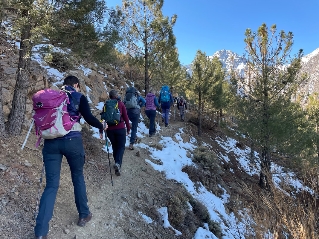
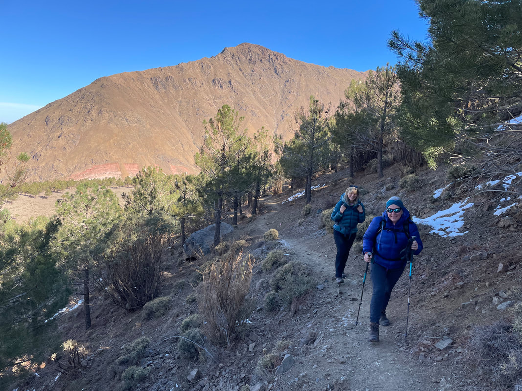
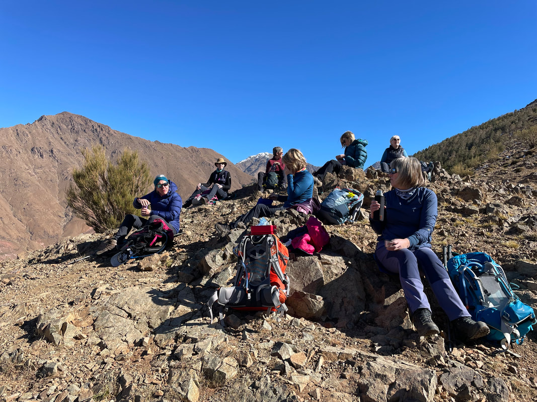
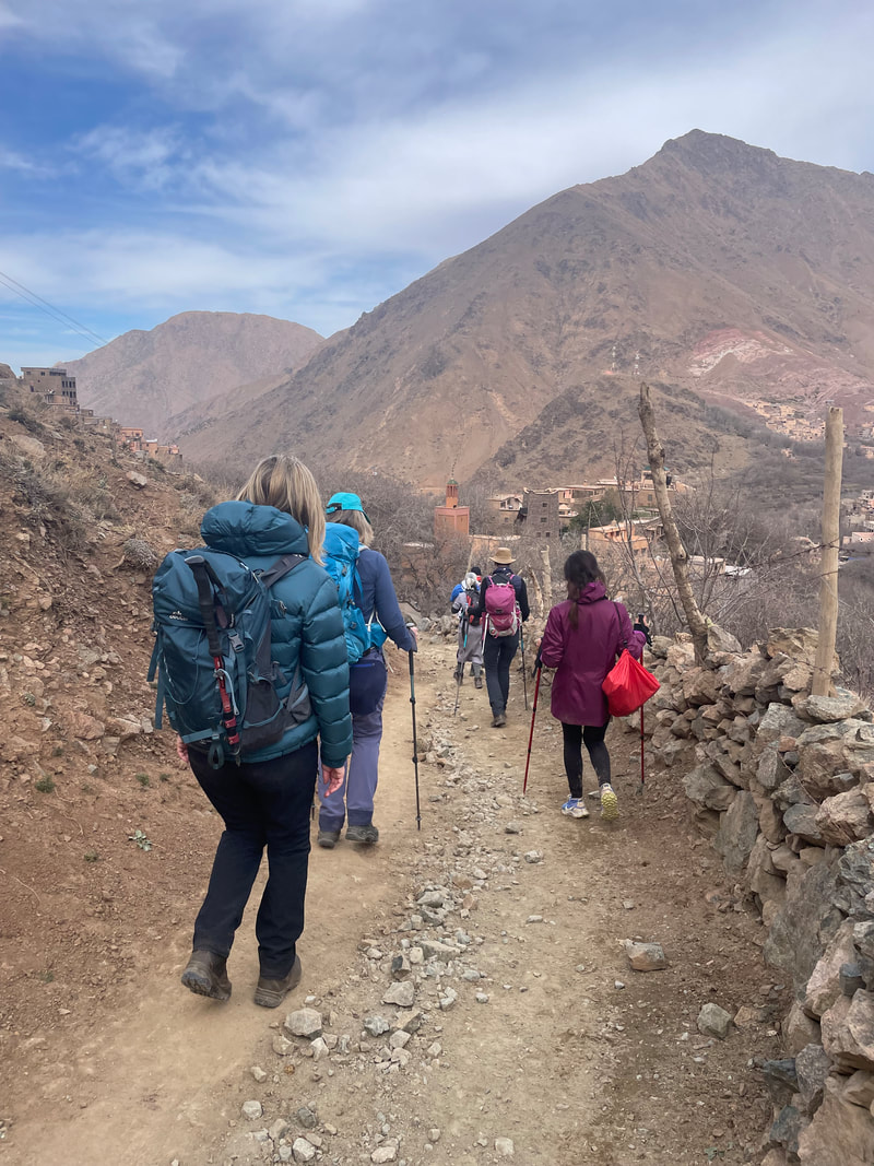
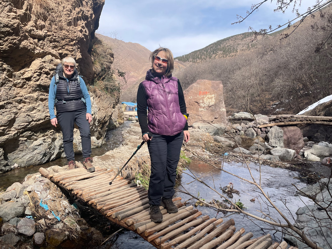
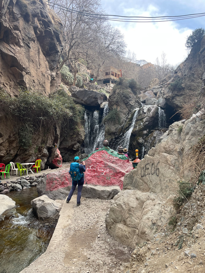
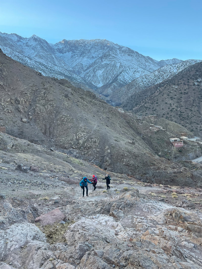
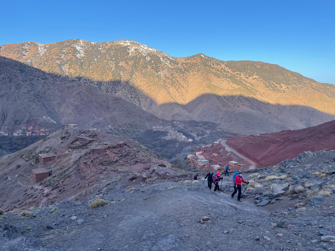
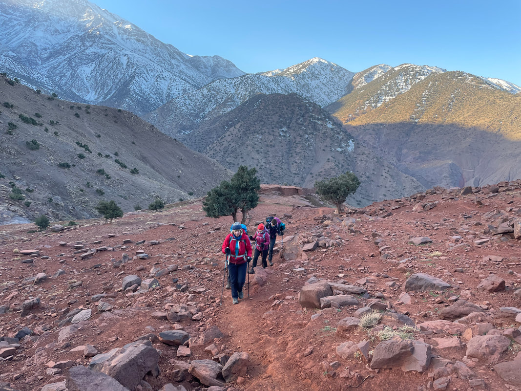
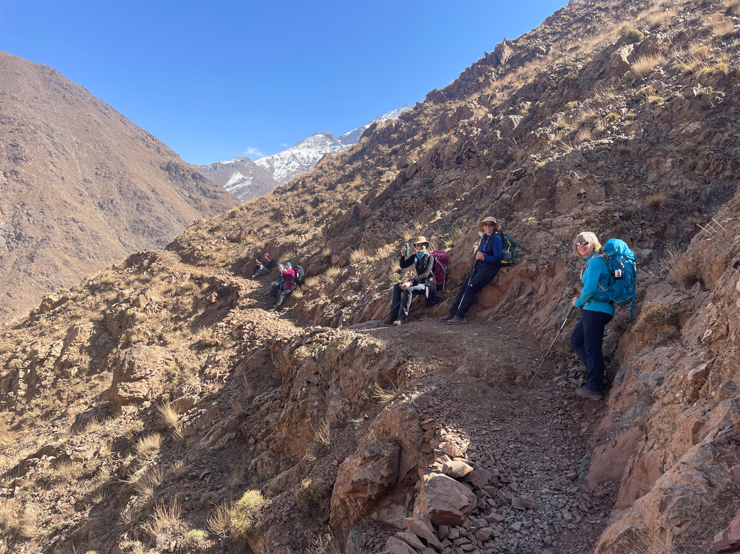
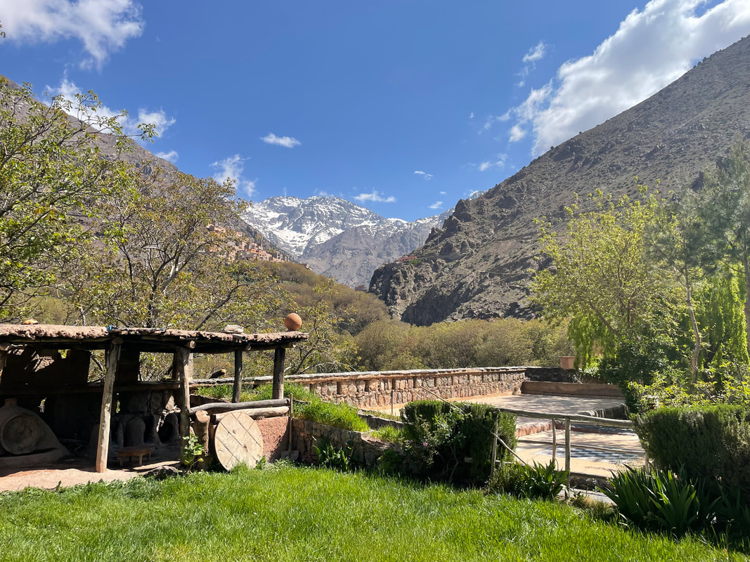
Alan Ward and I will be at the Kasbah in January 2023, as volunteers, training local mountain guides. I will be here in February 2023 with Bryn Walking for Women - ‘Trekking in Style’ and I’m planning a trip for May 2023 too. These two treks, although not summiting Toubkal, are more interesting and varied - from the Kasbah we trek over to a lodge in a remote village in a neighbouring valley (for 2 nights) having a day there to trek up the valley to some beautiful cascades.
THE END
My first visit to Iceland and my first time abroad in nearly 3 years. Hoping to go to Iceland for a trek in August, I thought it would beneficial to go out and recce the essentials and it would make a great post-covid break with my husband James. We had a great time - somewhere completely different and yet relatively close. I have written quite honestly about our trip so, if you are planning a trip you can learn from what we could have done better.
Lava field Fagradalsfjall
Getting out there - Flight BA 0815 LHR. We booked the Thistle Hotel for the night before the flight at T5 and arranged the 'Meet and Greet' parking services with Heathrow. After a frustrating start – the M54 completely shut and a huge diversion, we still arrived at my sister’s house, 30 mins away from LHR, in good time for dinner before the last bit of the journey. While we were there we had a notification from BA that our flight was delayed until 1400 (6hrs later) because of very bad weather - no one can do anything about the weather.
To cut a very long story short - after frustrations with buses, mono rails not working, Hotel Hoppa apps not meaning anything, paying for bus tickets we didn’t need, hotel staff not being helpful, buses being full, coffee machines not working, under cooked eggs, a grotty hotel room….. some good news - we were allowed into the BA lounge because our flight was delayed. Free champagne for the next few hours and a good range of snacks/light meals.

It was absolutely pouring down on arrival at Reykjavik but I was extremely glad to get both feet on the ground after the most scary flight I’ve ever been on. The turbulence was so bad all I could do was pray and think of my children – really bad.
A nice clean, small airport and helpful staff. On picking up the hire car I asked for an upgrade to a 4x4 but they’d run out – bad weather forecast all week.
Finding the cabin, which was south of Reykjavik, was very straight forward using Apple maps, that was after we drove round looking for a supermarket... It was dark and we ended up driving right into the city looking for provisions. In Iceland I think they have a rule about not advertising food so quite it's tricky to find. After being there a few days we realised that there was a couple of supermarkets on the outskirts.
The best day, weather wise was Tuesday so we planned to drive the Golden Circle and tick a few of the sights off.
- The Golden Circle
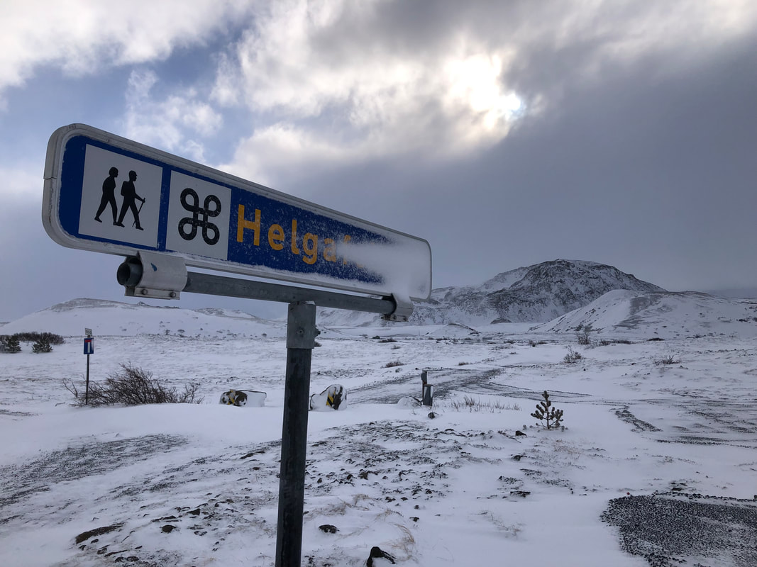
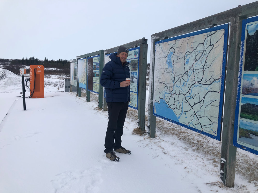
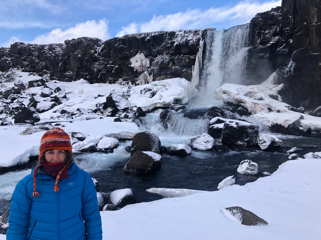
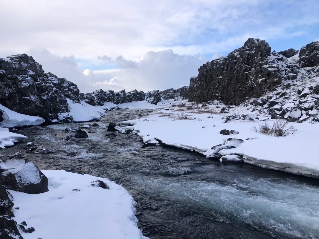
Taking Route 1 north out of Reykjavik and then Route 36 to Pingvellir. The weather deteriorated at this point, we couldn’t actually see the road yet several ‘Happy Days Tours’ minibuses confidently overtook us. There wasn’t a chance of turning round, far too dangerous so we just had to carry on. As we approached Pingvellir the weather improved and on arrival there was some blue sky. Taking the right turn just before the Café (info centre) with the flag flying, takes you to the parking for the walks.
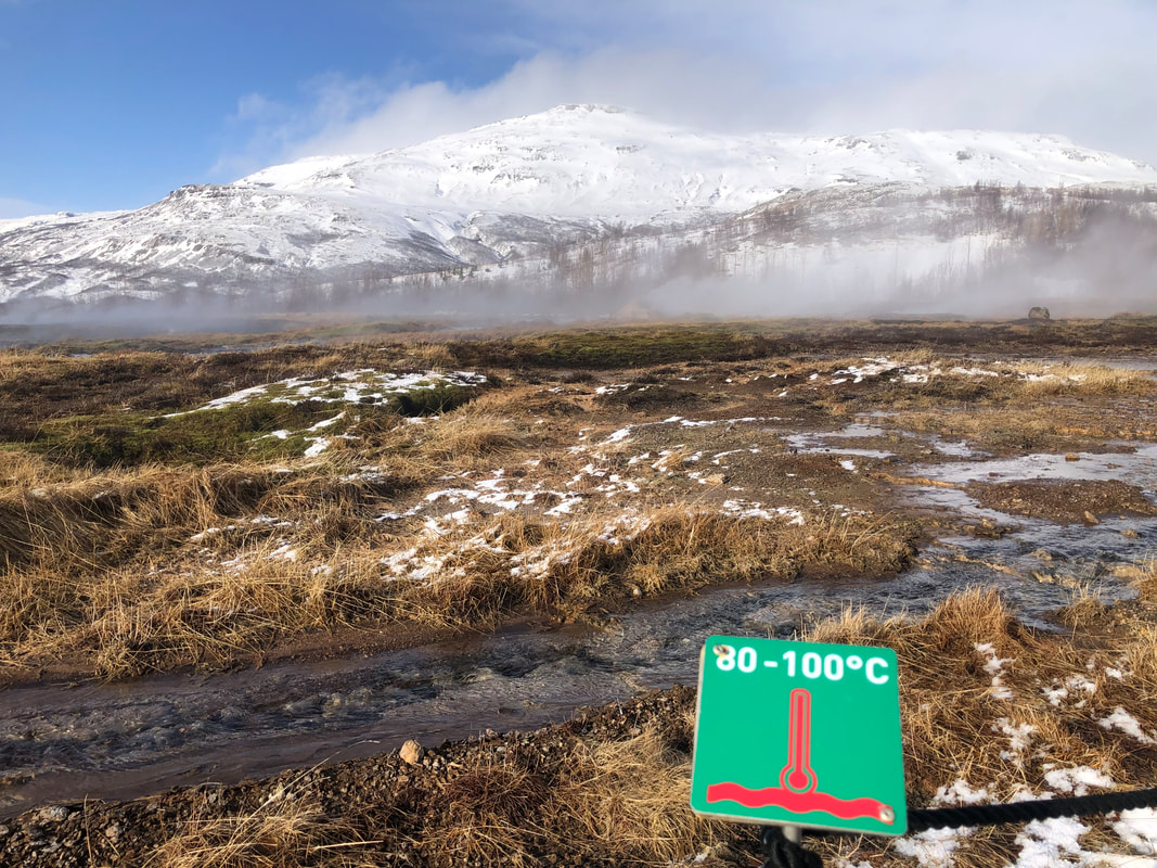
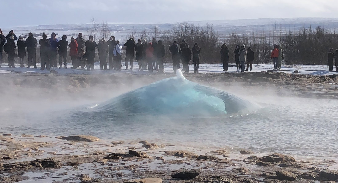
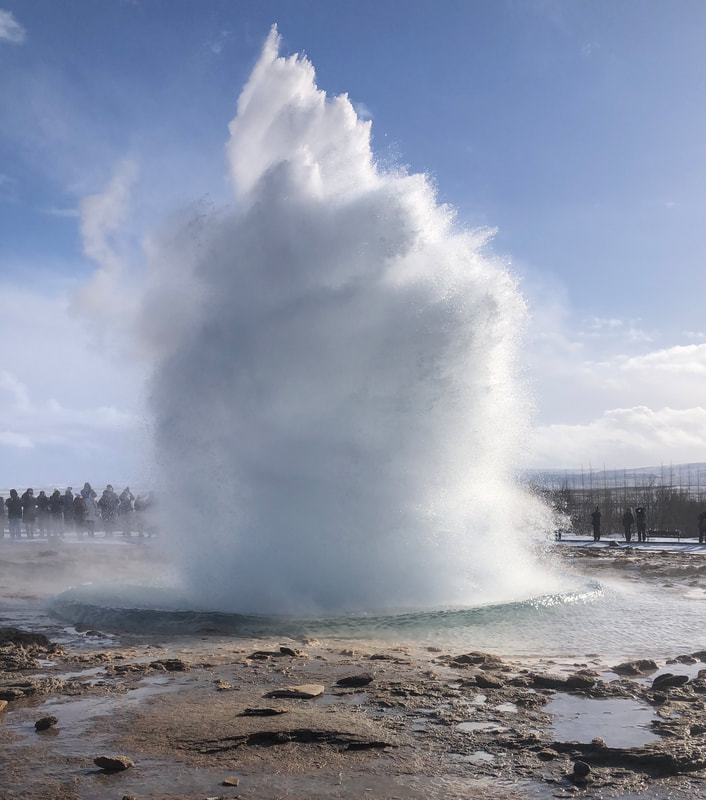
Then on to Geyser – minibuses on mass it seemed. The hot springs are amazingly accessible, just a short track from the parking area. There is a huge shop and busy café. It wasn’t too crowded but we did get there quite early.
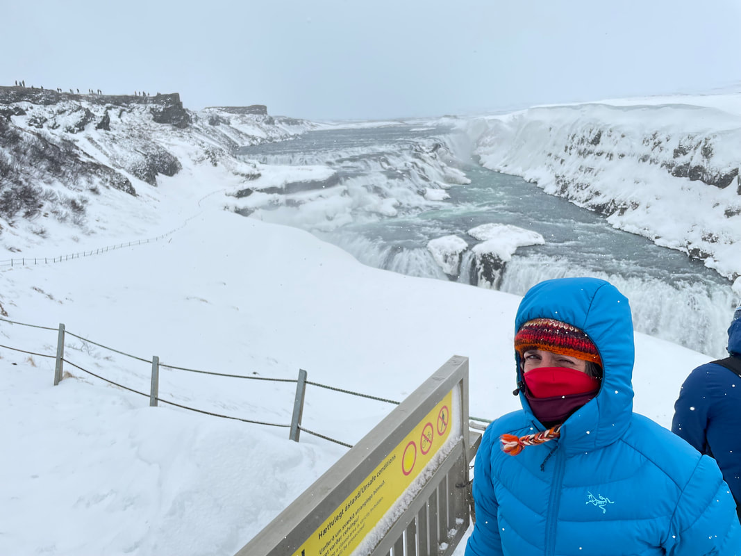
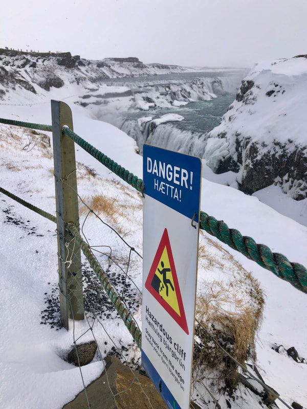
Next stop Gullfoss. Great to come here when everything is snow covered but I’d like to see it looking colourful too. The nearest viewing point was closed off and the paths down to the viewing areas were extremely slippery after many feet on compacted snow. It’s huge and amazing, like nothing I’d seen before. Food planned next. We found a nice restaurant, quiet and not touristy. They had a strange USP of serving chocolate mixed with langoustines. Friendly service and delicious food.
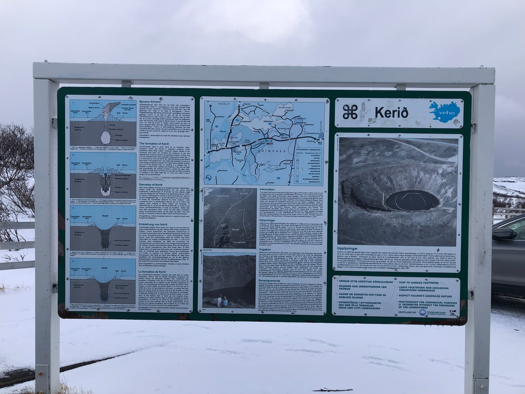
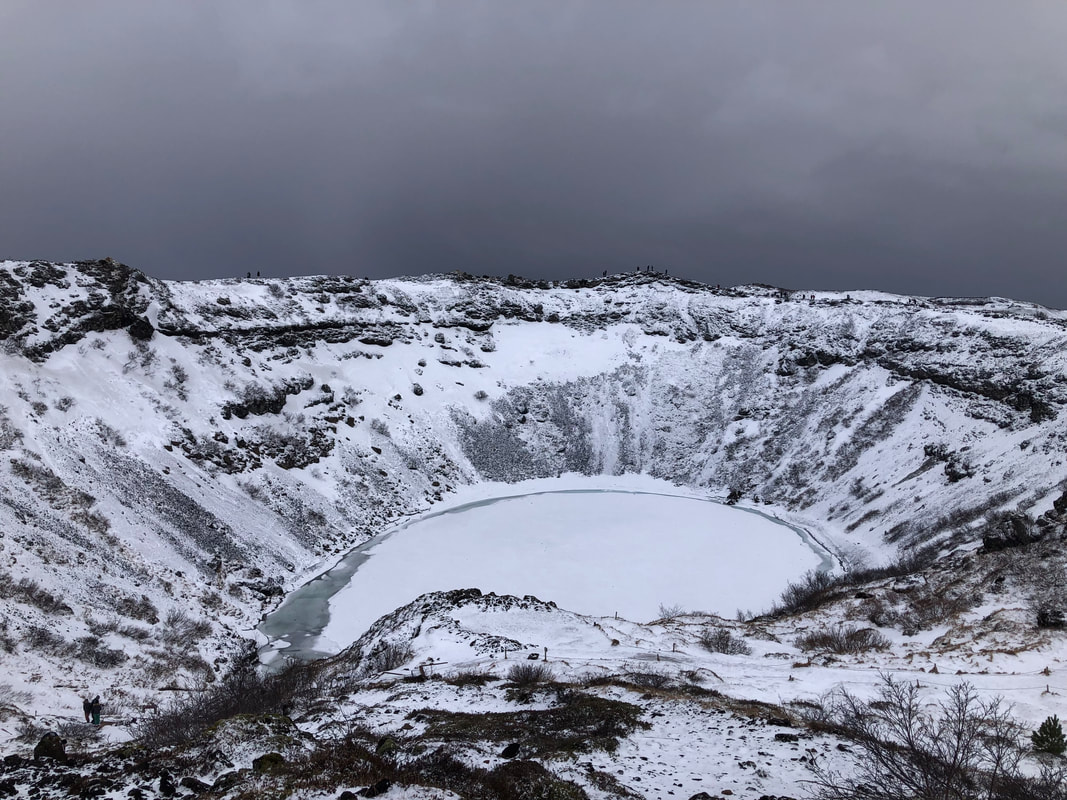
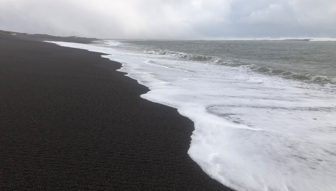
| Kerio Crater next. The only location that had an entrance fee. This is great and you can walk all the way round the top. I put my Yaktraks on this time as the hard, trodden snow is so slippery. We got back to the car just in time before the next snowstorm. Down to Selfoss and turning west to follow the coast. The black beaches are beautiful with the contrast of the crashing white waves. We stopped at a closed-down restaurant right on the beach by the estuary and took some photos of the very, very rough seas. Sticking to the main roads we took Route 39 and then Route 1 back up to Reykjavik.  | |
- Eating out, supermarkets and getting provisions
Everything costs a bit more than in the UK. Here are some examples:
Coffee eg Cappuccino ISK 650 £3.87
Toasted sandwich ISK 1390 £8.29
Pizza 10" ISK 2.590 £15.46
Burger and fries ISK 2890 £17.25
Fish of the day ISK 2095 £12.50
Lamb steak sandwich and fries ISK 2500 £14.92
Main Icelandic dishes are lamb and fish. If you are looking for something familiar, they seem to like Subway, Dominos and burger joints but not McDonald’s.
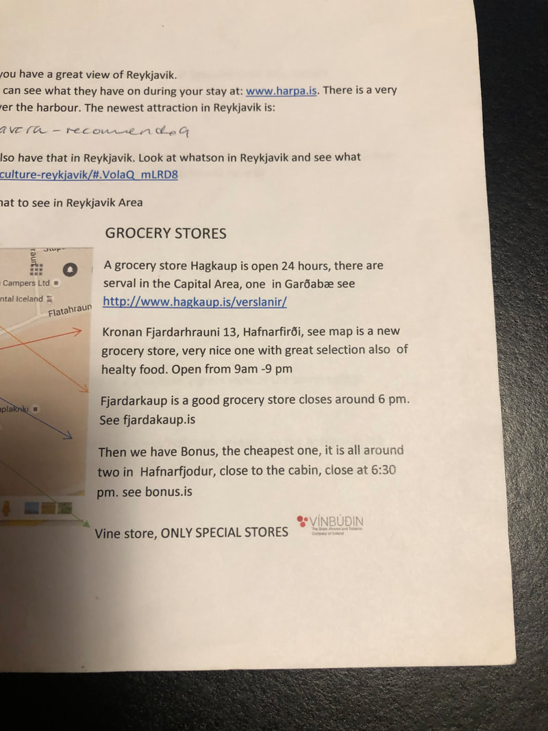
Supermarkets take the form of modern industrial looking places on the outskirts of town. Supermarkets don’t sell alcohol but Vinbudin (government run) is a shop that does and is usually next to or near the other supermarkets. Wine box ISK 3798 £22.67.
Apart from Reykjavik there isn’t much else at other towns in southwest Iceland, there might be a diner/grill by a fuel station and some tourist information boards but don’t expect a wealth of little independent shops – there aren’t any. You have to have the confidence to go in and find out what's the other side of the door because of the lack of advertising. It makes you realise how much food is promoted in the UK.... quite refreshing.
Coffee eg Cappuccino ISK 650 £3.87
Toasted sandwich ISK 1390 £8.29
Pizza 10" ISK 2.590 £15.46
Burger and fries ISK 2890 £17.25
Fish of the day ISK 2095 £12.50
Lamb steak sandwich and fries ISK 2500 £14.92
Main Icelandic dishes are lamb and fish. If you are looking for something familiar, they seem to like Subway, Dominos and burger joints but not McDonald’s.
Supermarkets take the form of modern industrial looking places on the outskirts of town. Supermarkets don’t sell alcohol but Vinbudin (government run) is a shop that does and is usually next to or near the other supermarkets. Wine box ISK 3798 £22.67.
Apart from Reykjavik there isn’t much else at other towns in southwest Iceland, there might be a diner/grill by a fuel station and some tourist information boards but don’t expect a wealth of little independent shops – there aren’t any. You have to have the confidence to go in and find out what's the other side of the door because of the lack of advertising. It makes you realise how much food is promoted in the UK.... quite refreshing.
| Look out for supermarkets KRONON and BONUS (which has a logo of a large round pink pig) and we eventually found a BONUS store, I had to actually go in to check that it was a supermarket - it's not obvious. ..And would you believe it?? There was the very familiar Snowdonia cheese! | |

- Sights with fewer tourists
A live volcano
Rarely has an eruption been as accessible in Iceland as this ongoing eruption in Fagradalsfjall active volcano. Route 43 to Grindavik then east on Route 427.
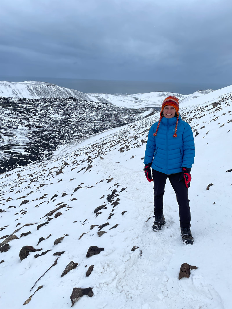
This was great, one of the best activities we did. I would advise only to do it when it’s good weather even though you are only going up to about 280m but it all looks volcanic and all looks the same when you’re up there. There is a parking area on the side of the road Route 427 and online parking payment. The route up to the viewing area was about 4km and an obvious vehicle width track for most of the way but then it stops, as does the signage - we followed footsteps in the snow up to the viewing point - we had good weather. There were very few people about. The steaming/smoking lava fields were absolutely amazing. LINK
Coordinates for parking 63.85478, -22.30918
Rarely has an eruption been as accessible in Iceland as this ongoing eruption in Fagradalsfjall active volcano. Route 43 to Grindavik then east on Route 427.
This was great, one of the best activities we did. I would advise only to do it when it’s good weather even though you are only going up to about 280m but it all looks volcanic and all looks the same when you’re up there. There is a parking area on the side of the road Route 427 and online parking payment. The route up to the viewing area was about 4km and an obvious vehicle width track for most of the way but then it stops, as does the signage - we followed footsteps in the snow up to the viewing point - we had good weather. There were very few people about. The steaming/smoking lava fields were absolutely amazing. LINK
Coordinates for parking 63.85478, -22.30918
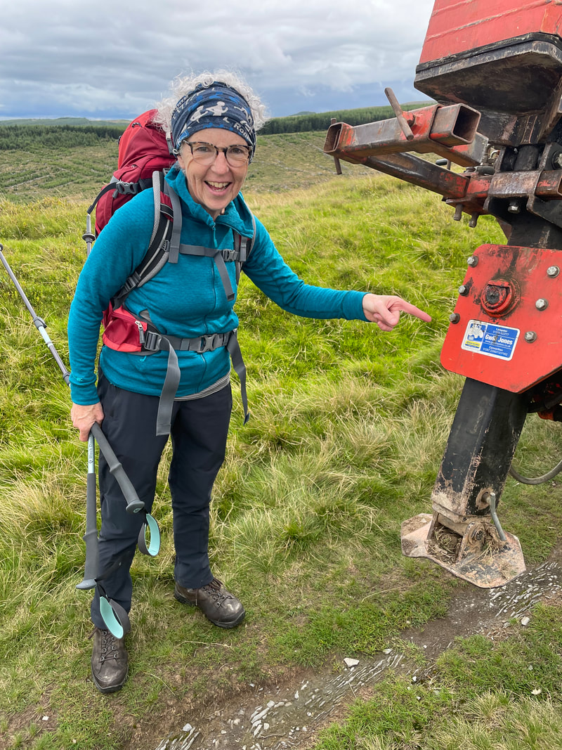
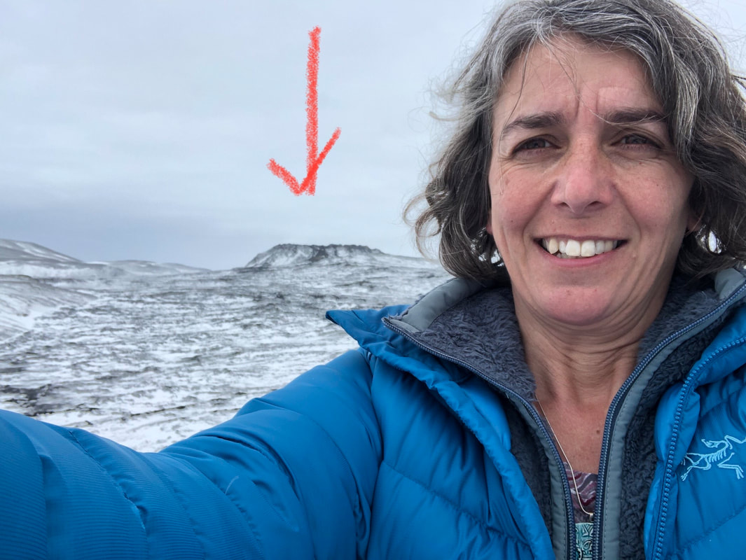
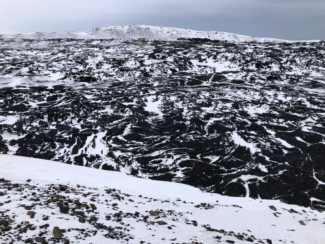
Hot springs
Selton, Krysuvik. Geothermal energy in Krysuvik is primarily spread over an oblong area around 1.5km long and 500m wide. Steam dominates the area and warms up the surface water. Steam vents, sulphur mounds and boiling hot springs can be found. Coordinates 63.88700, -22.05789
Selton, Krysuvik. Geothermal energy in Krysuvik is primarily spread over an oblong area around 1.5km long and 500m wide. Steam dominates the area and warms up the surface water. Steam vents, sulphur mounds and boiling hot springs can be found. Coordinates 63.88700, -22.05789
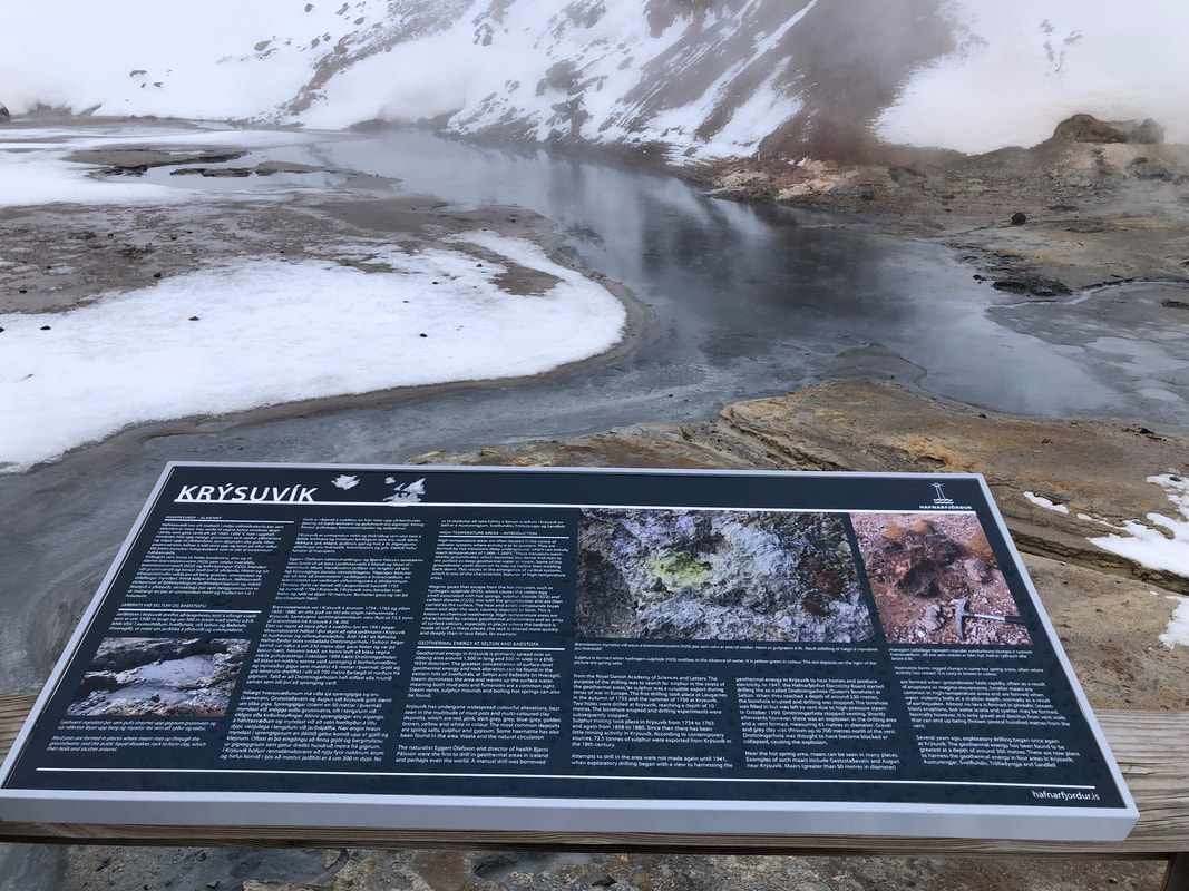
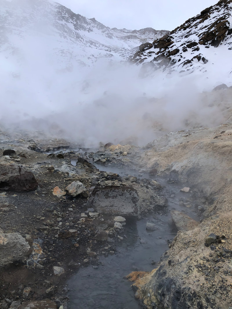
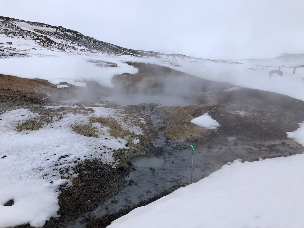
Lake Kleifaratn
Completely frozen over when we were there but fantastic scenery. The road was marked as unpaved on the map but was in fact tarmacked. We encountered a snow plough with a friendly operator who advised us to ‘get up some speed’ to pass the bad bit just beyond his massive machine (see photo further on). Coordinates 63.92917, -21.97201
Completely frozen over when we were there but fantastic scenery. The road was marked as unpaved on the map but was in fact tarmacked. We encountered a snow plough with a friendly operator who advised us to ‘get up some speed’ to pass the bad bit just beyond his massive machine (see photo further on). Coordinates 63.92917, -21.97201
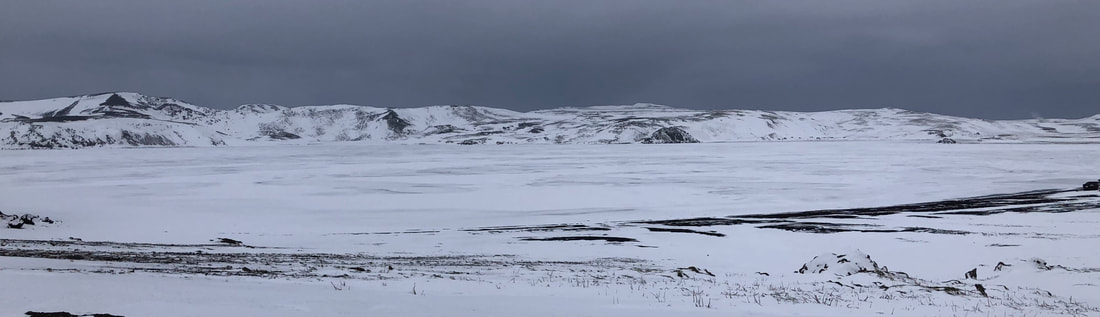
| Light House, Akranes The beach here by the light house has a huge selection of different shells including lots of sea urchins. The information hut is open in season but there are lots of information boards about and some cod drying frames. It is also a location for whale watching and there is a folk museum here too. The drive here and to Borgannes was spectacular and I imagine, even more so with blue skies. Coordinates of Akranes 63.32179, -22.07490 Borgannes – First time I've seen floating ice in the sea. We had a nice dinner in a burger/grill diner next to a fuel station... - with fish of the day on the menu! – very nice. To get to Borgannes via the main road takes you through a 5.77km tunnel and over the second longest bridge in Iceland. If the weather had been better we would have taken the longer Route 47 and visited the waterfalls Glymur. 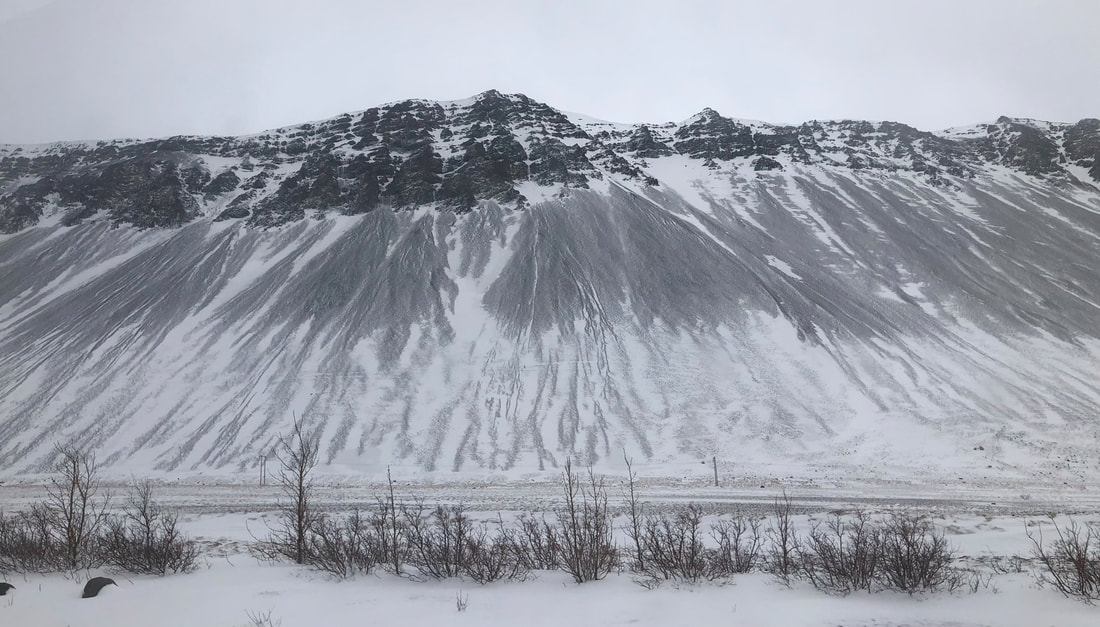 | 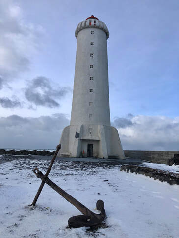 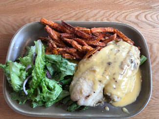 |
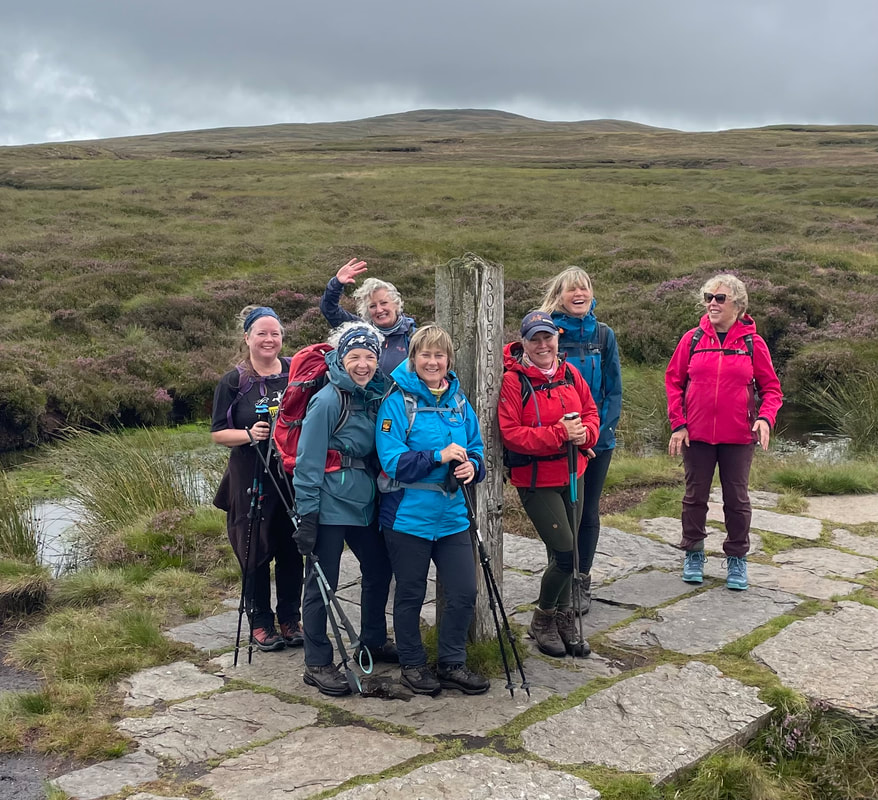
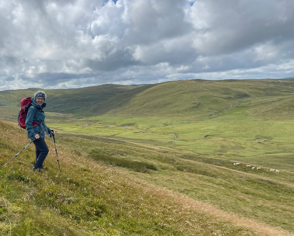
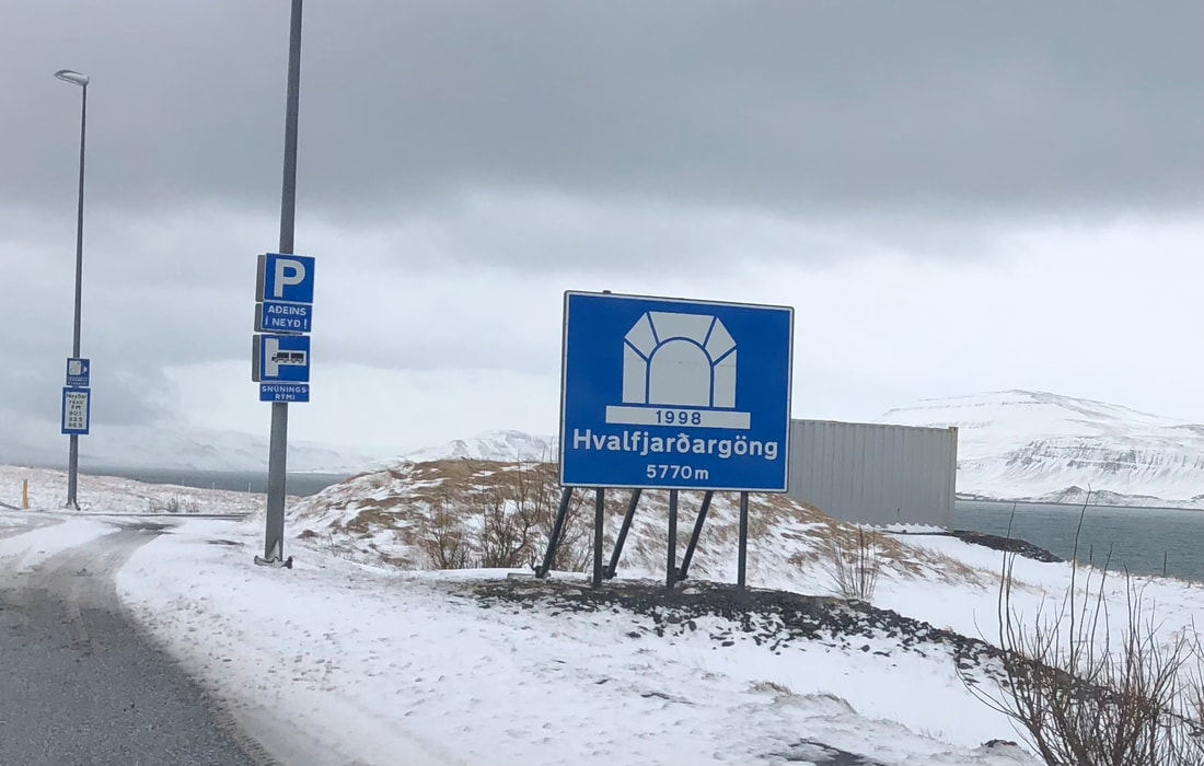
- Driving and road conditions
Car hire from Avis at the airport – very helpful and simple. Booked through BA holidays when booking flight. The car was a smart 2 wheel drive Hyundai but I would have felt much safer in a bigger car ie a 4x4. We had winter studded tyres so we could get about but I'm sure on the absolute limit on some of the roads. The weather changes extremely quickly and a clear road can very soon become white over. We saw a number of vehicles abandoned after having left the roads. Roads that are impassable generally have a barrier across but checking in advance using this app was excellent, it seems to be ‘real time’ – very useful and accurate, updated constantly. Road.is App
Fuel price - ISK 281.8/ltr. £1.67/ltr Petrol
Fuel price - ISK 281.8/ltr. £1.67/ltr Petrol
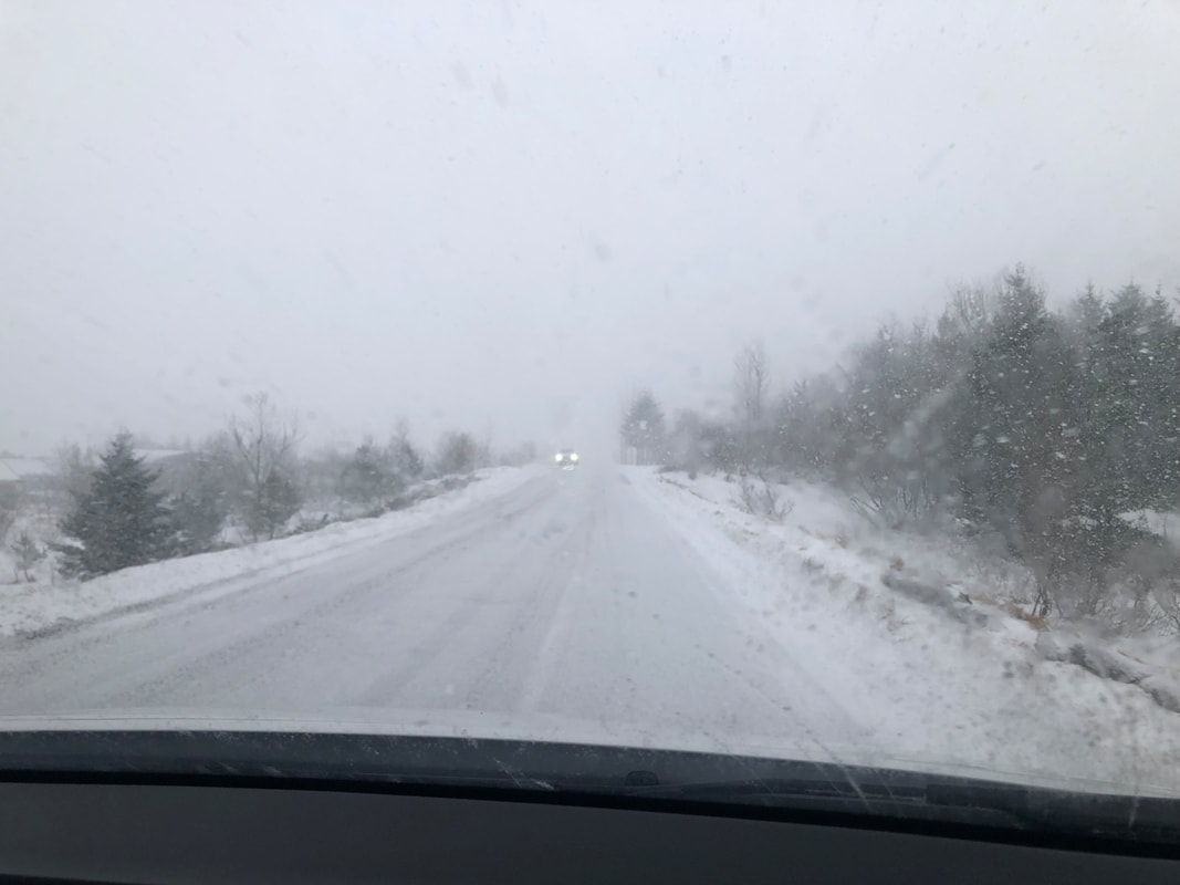
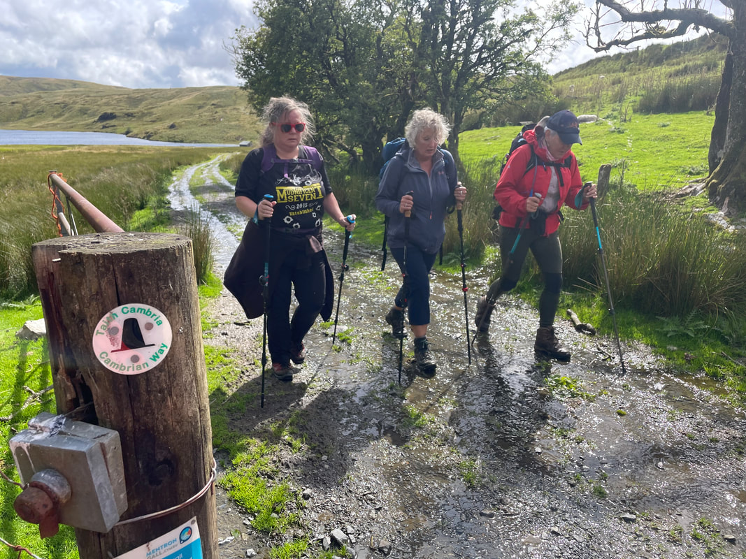
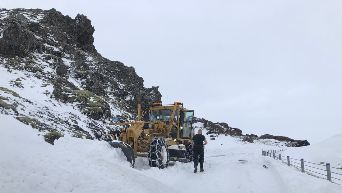
- Reykjavik
Reykjavik is a very smart, modern, colourful and clean city. There are a few cafes but there isn’t really a ‘café and cake’ culture, there are a few pubs but not little licensed cafe bars like on the continent. The church tower, Hallgrimskirkja, gives a fantastic view of the town and on a clear day, of the mountains I don’t doubt. To go up the tower - ISK 1200 £7.14 per person.
In the Old Harbour there is a really nice food hall with a choice of food providers with a shared eating area, very relaxed and a nice atmosphere. We chose Icelandic lamb. There is also the Maritime museum and plenty of tours available to see puffins and whales.
In the Old Harbour there is a really nice food hall with a choice of food providers with a shared eating area, very relaxed and a nice atmosphere. We chose Icelandic lamb. There is also the Maritime museum and plenty of tours available to see puffins and whales.
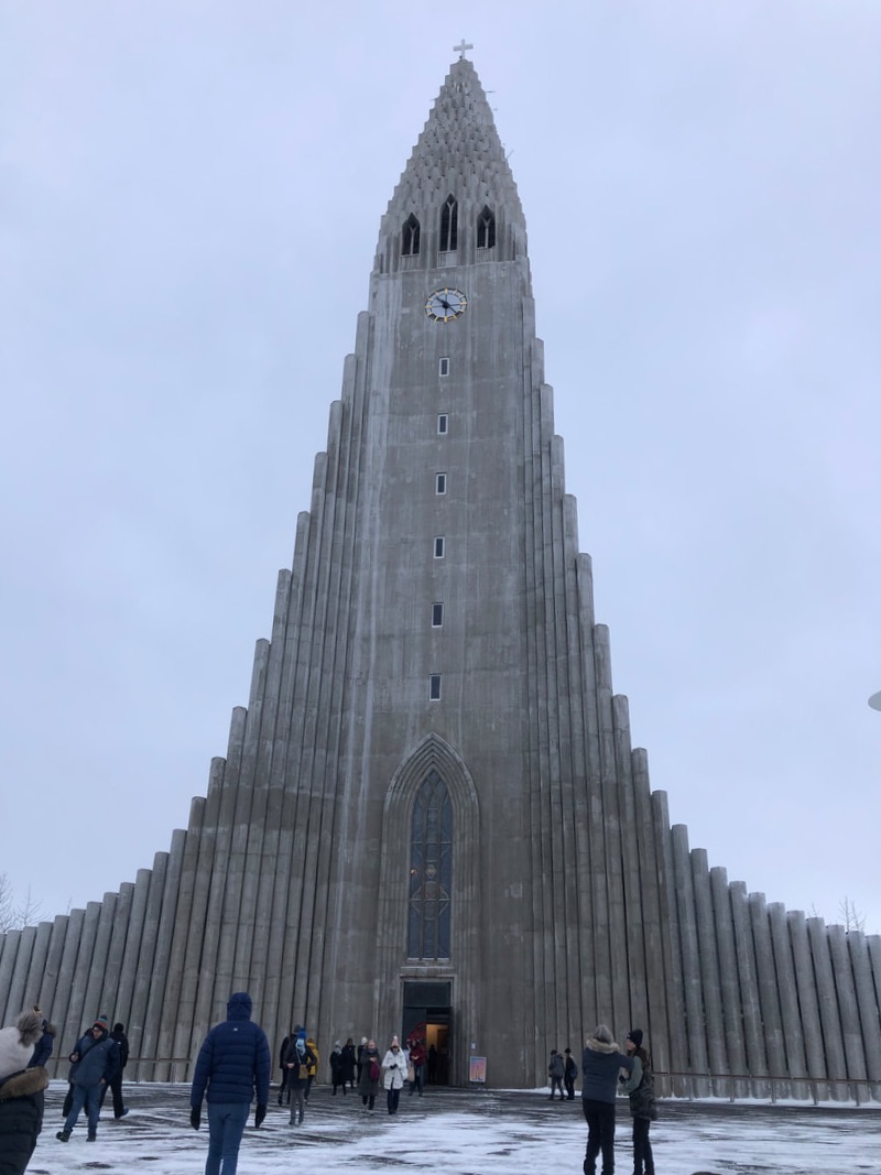 | |
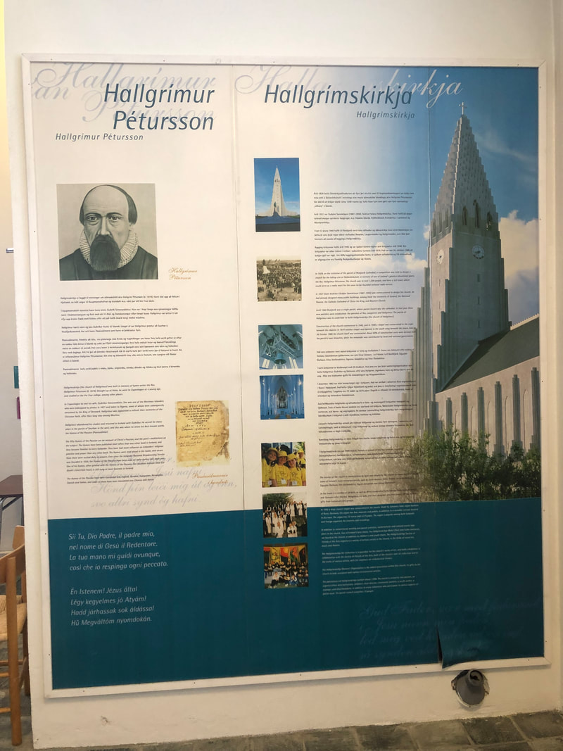
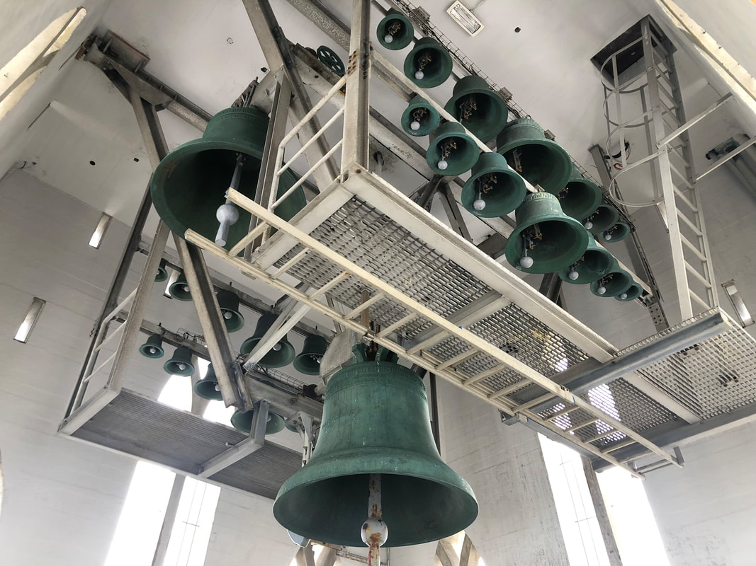
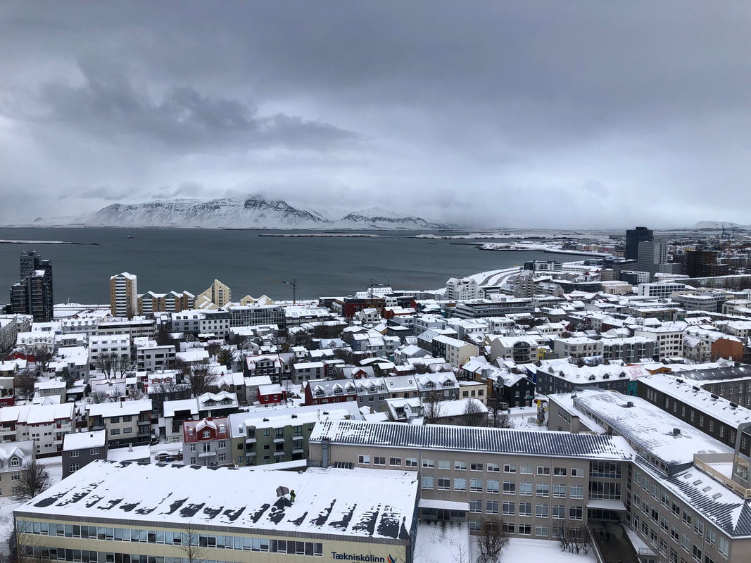
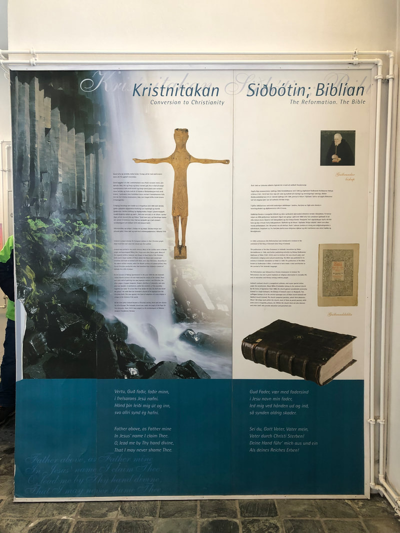
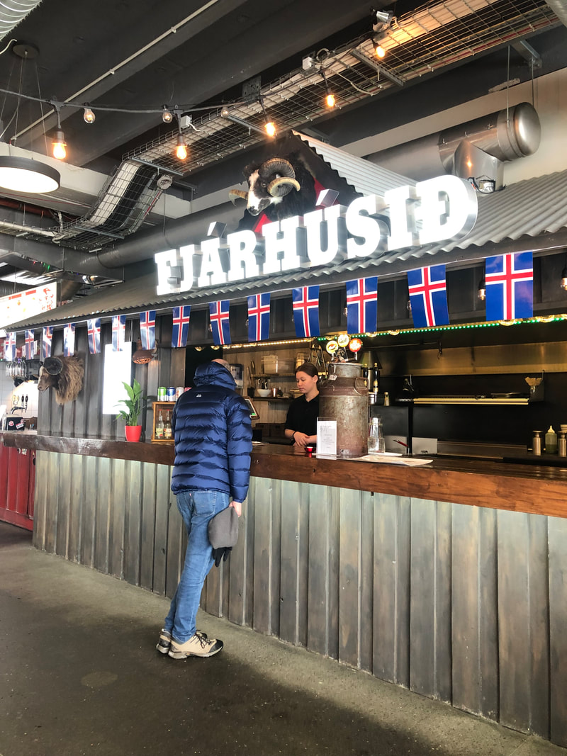
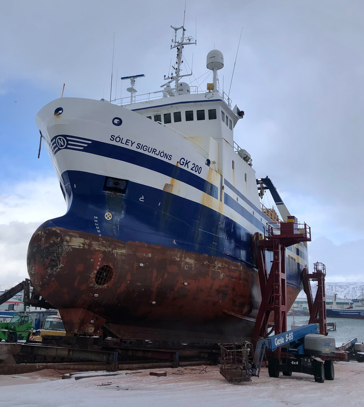
There are lots of museums and galleries but if that’s not your thing then there is plenty of art to see around the streets.
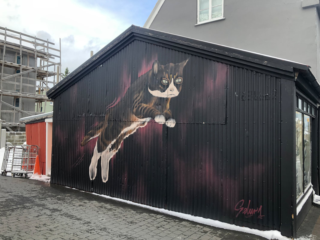
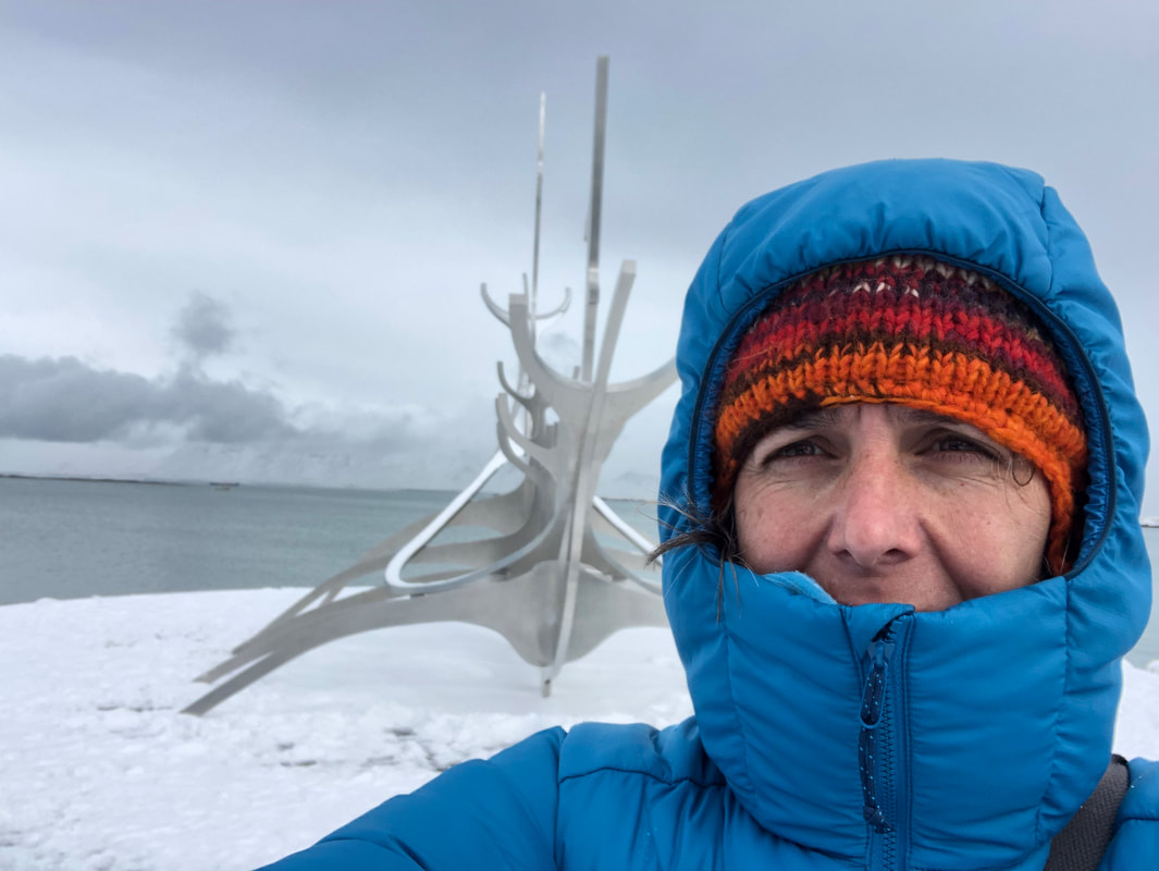
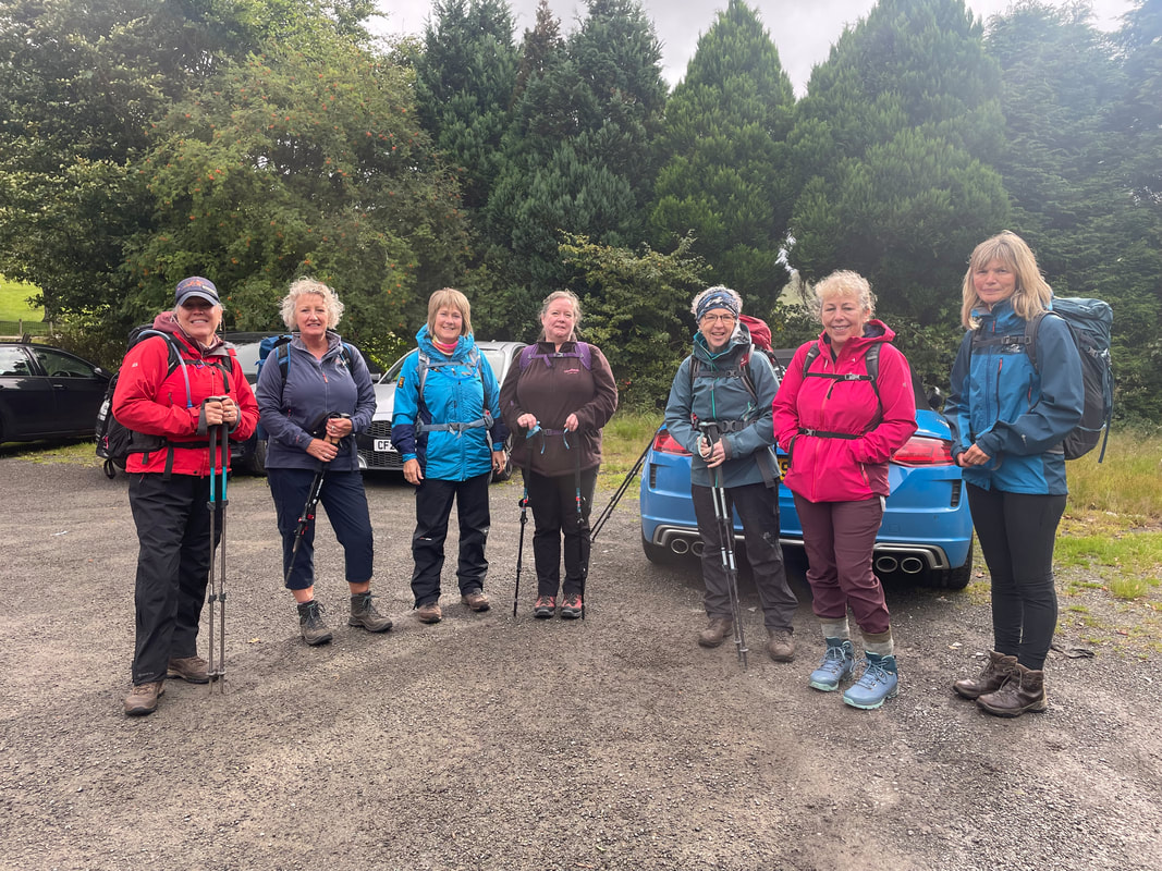
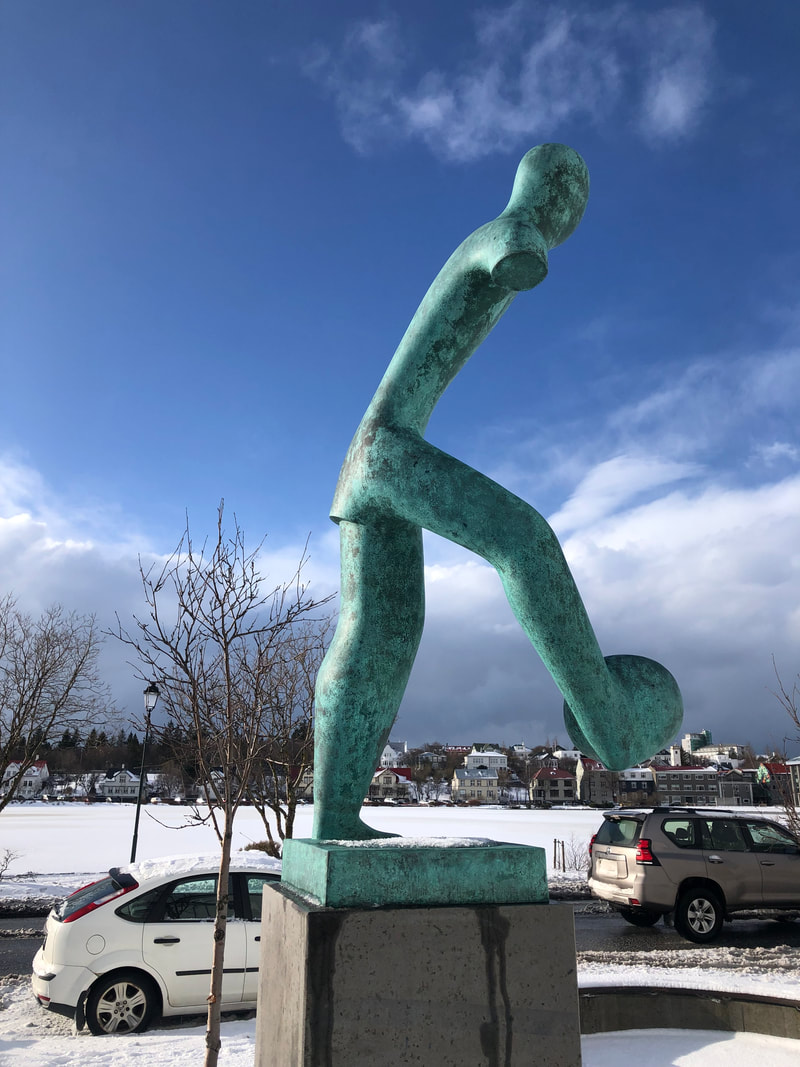
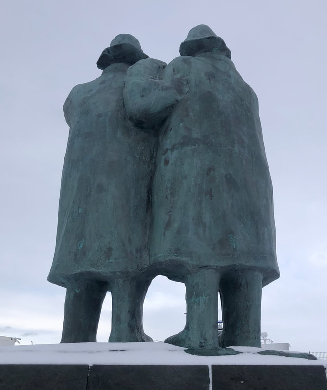
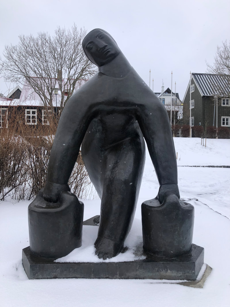
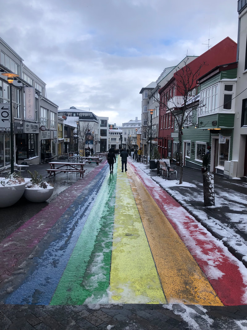
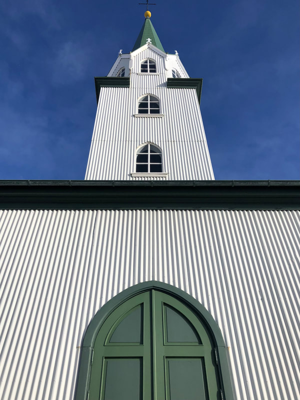
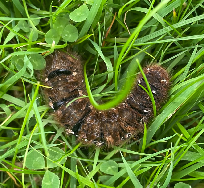
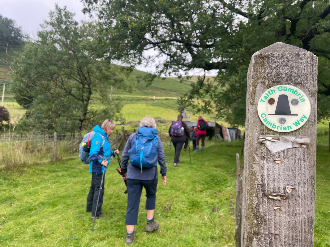
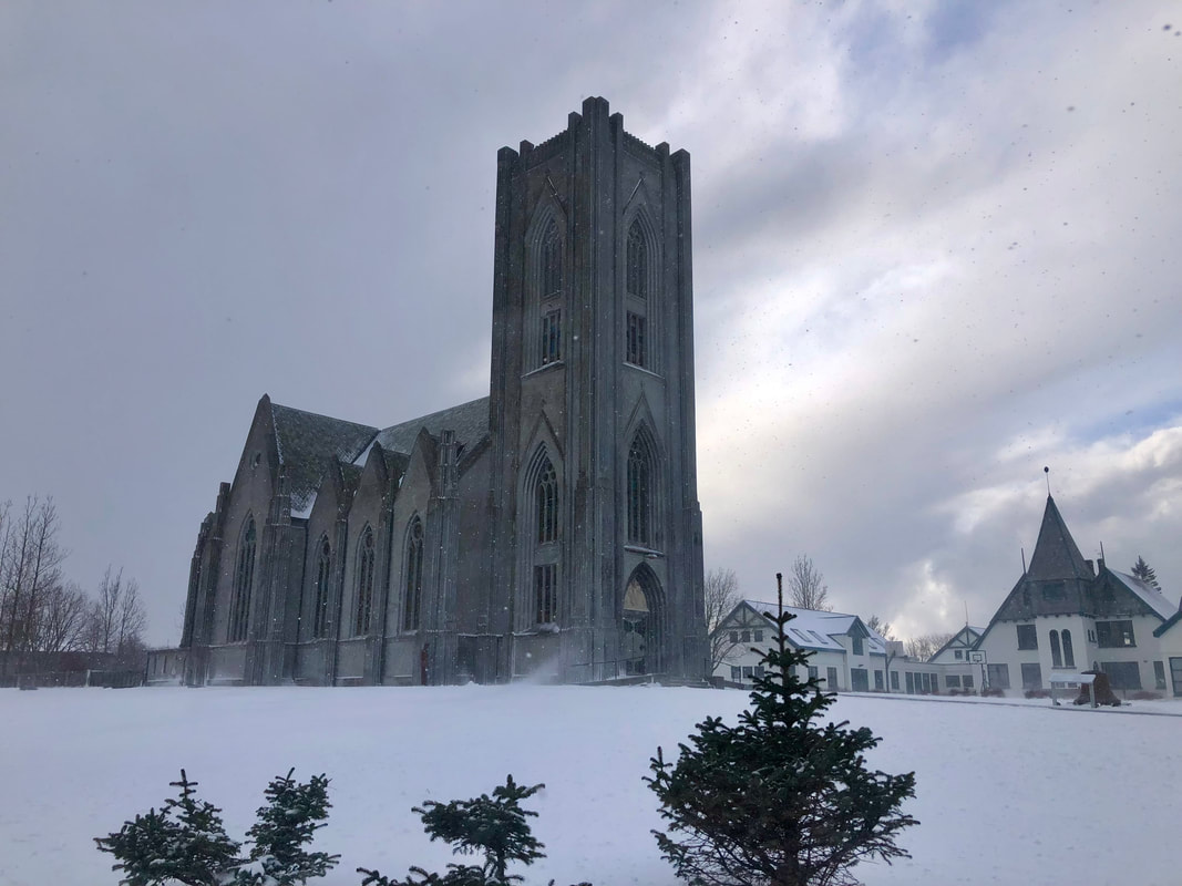
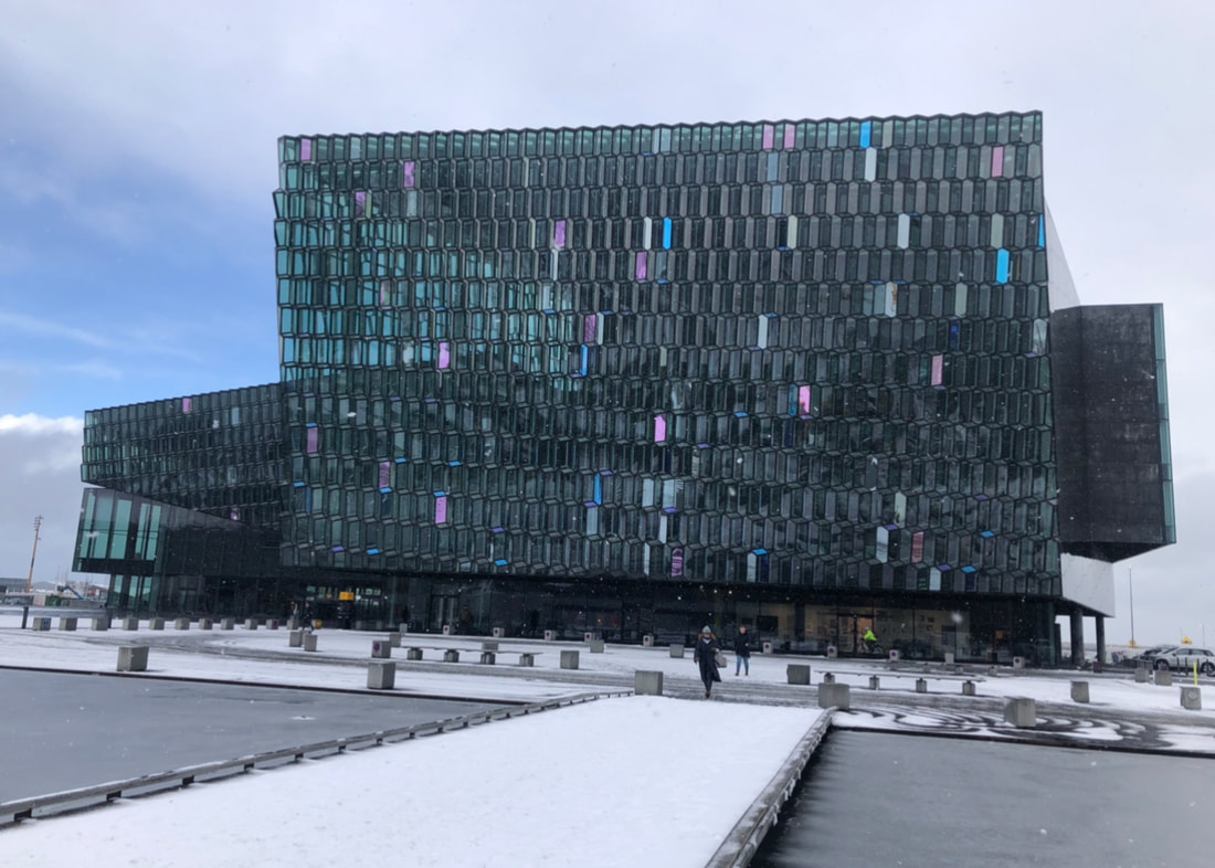
Nearly every shop has a resident cat which is great but I’m not sure a café in the UK with 2 cats roaming about would get its hygiene rating. It’s getting to be an unusual tourist trademark in the city.
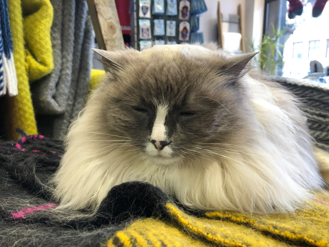
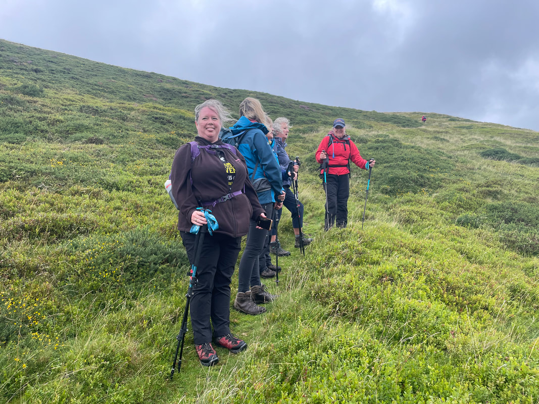
- Our Cabin
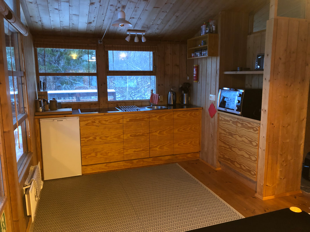
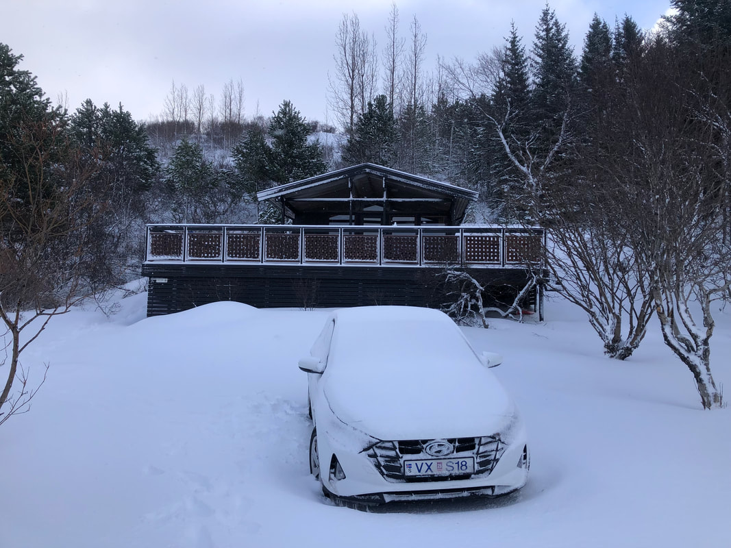
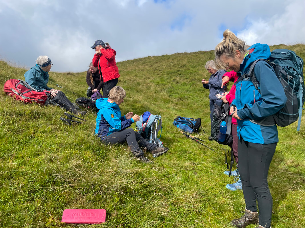
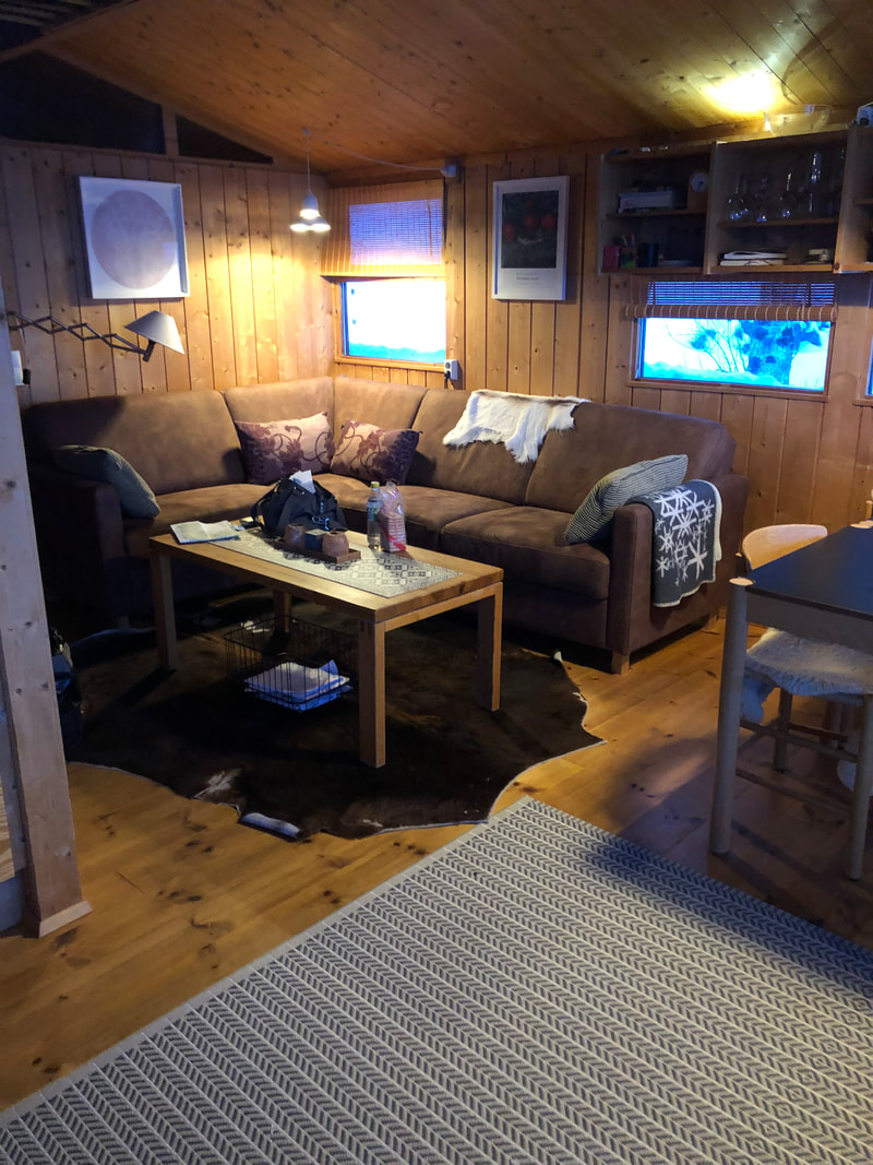
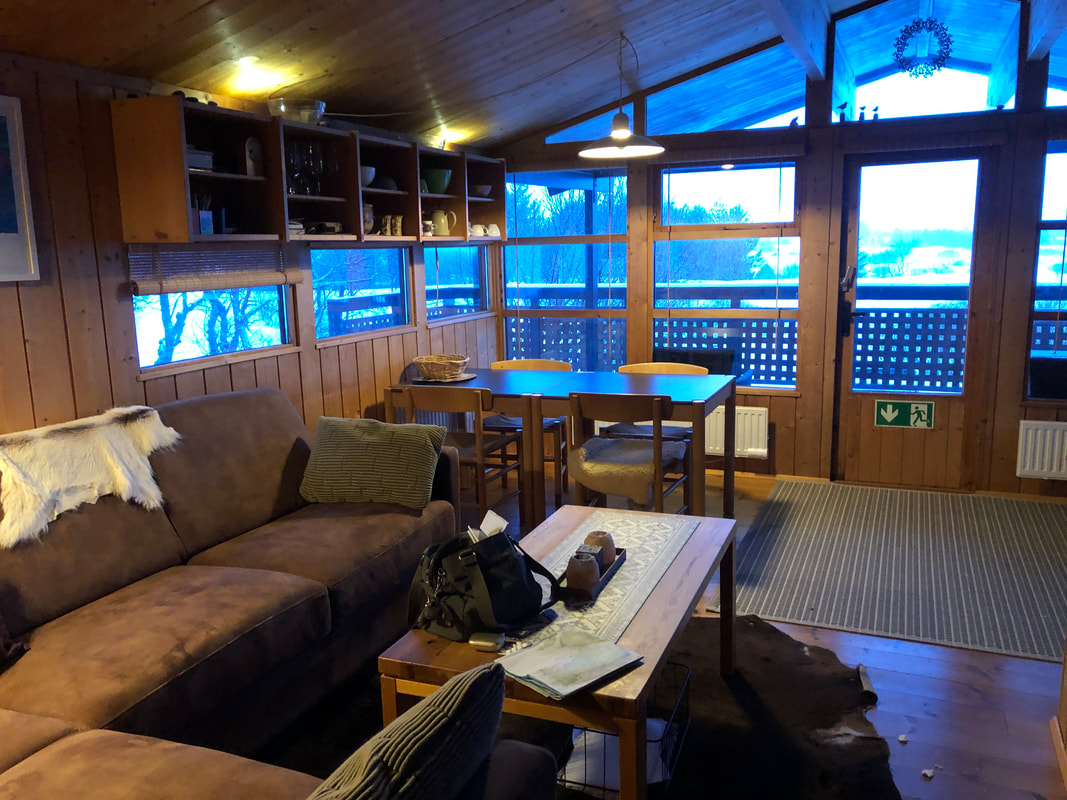
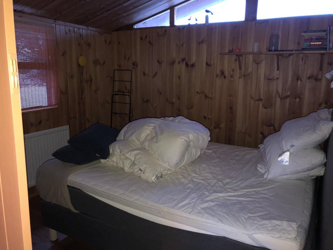
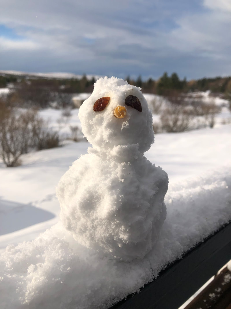
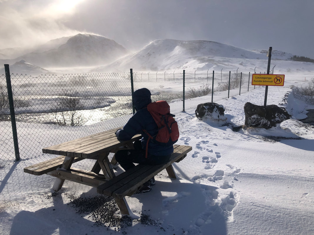
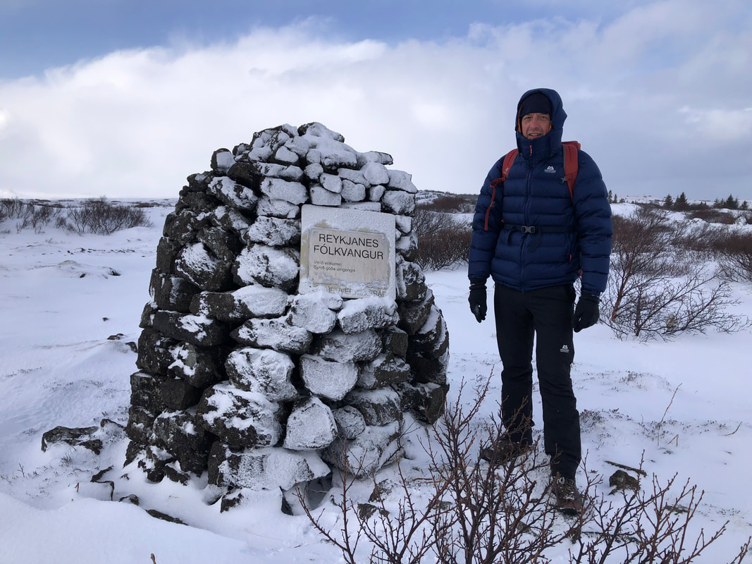
THE END
The Land of the Eagles
3 Summits in Snowdonia with Bryn Walking for Women
7th - 11th February 2022
‘Eryri by the Britons, because in the old time it abounded with eagles, Eryri in the ancient British language signifying an eyrie or breeding-place of eagles.’ - George Borrow writing about Snowdonia in his book Wild Wales 1826.
When I was writing this blog, I looked through many old guide books about Wales - it’s always interesting from a historical point of view. George Borrow is often quoted – for decades, it seems, he has been (and still is) the ‘go to’ when looking for an anecdotal account of Wales.
When I was writing this blog, I looked through many old guide books about Wales - it’s always interesting from a historical point of view. George Borrow is often quoted – for decades, it seems, he has been (and still is) the ‘go to’ when looking for an anecdotal account of Wales.
| Contents of this blog:
| 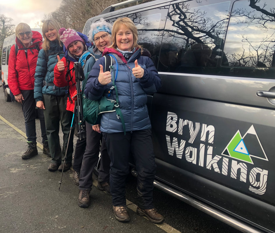 |
The Blog
I arrived at Dol Peris guest house on Monday afternoon with Heather Maling, my assistant on this event. We awaited the arrival of the group who would be joining us for an exciting 3-day itinerary that would show them 3 very different and beautiful mountains, just a taster of Snowdonia. Some of it might be challenging but mostly governed by the immediate weather forecasts that promised high winds, so we had lowland contingency routes if summits weren’t going to be possible.
| Heather and I had stayed Sunday night in Eigiau Cottage, a bothy in an isolated valley on the northeast side of the Carneddau. The bothy is a small stone hut, homely and cosy but the valley itself has a foreboding and eerie feel about it; a long-abandoned slate mine with the dark slopes of Craig yr Ysfa behind, and of course the 990m long, redundant concrete dam that stretches across the widest part of the valley. 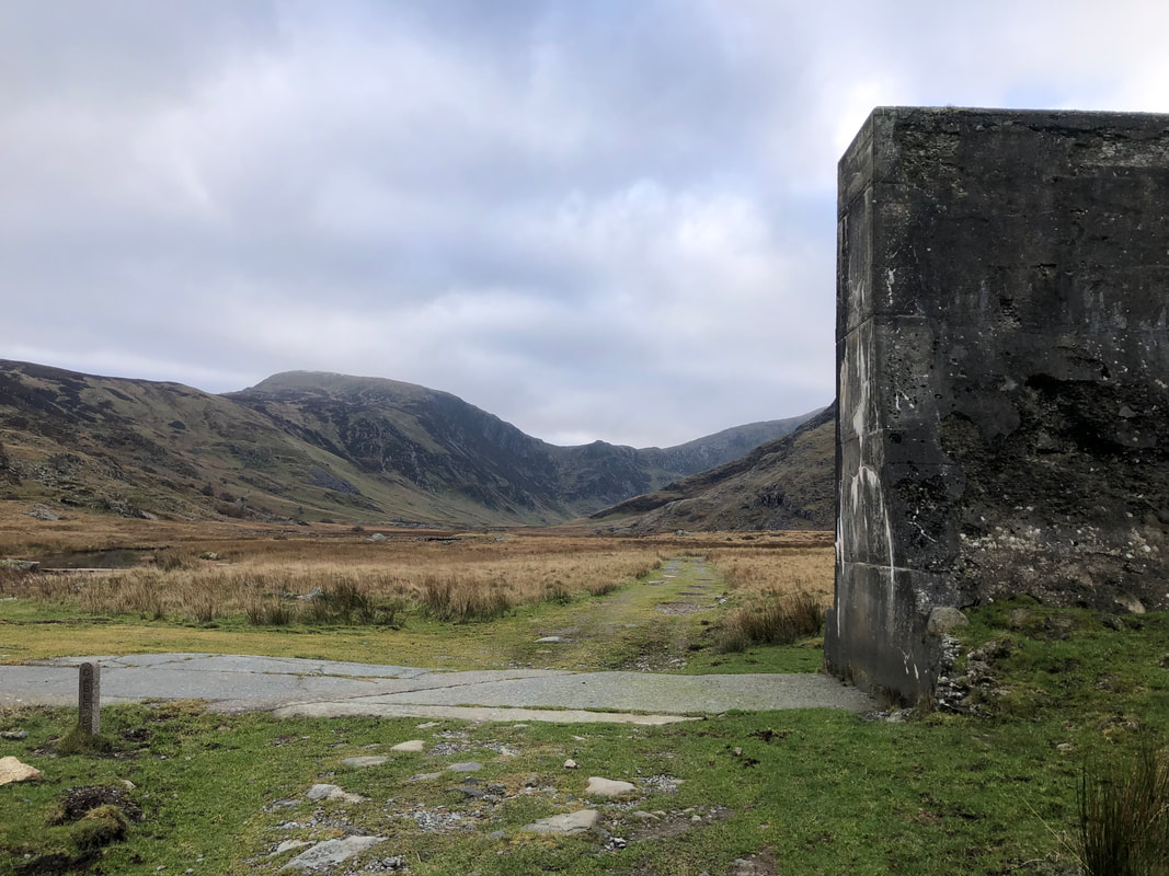 | 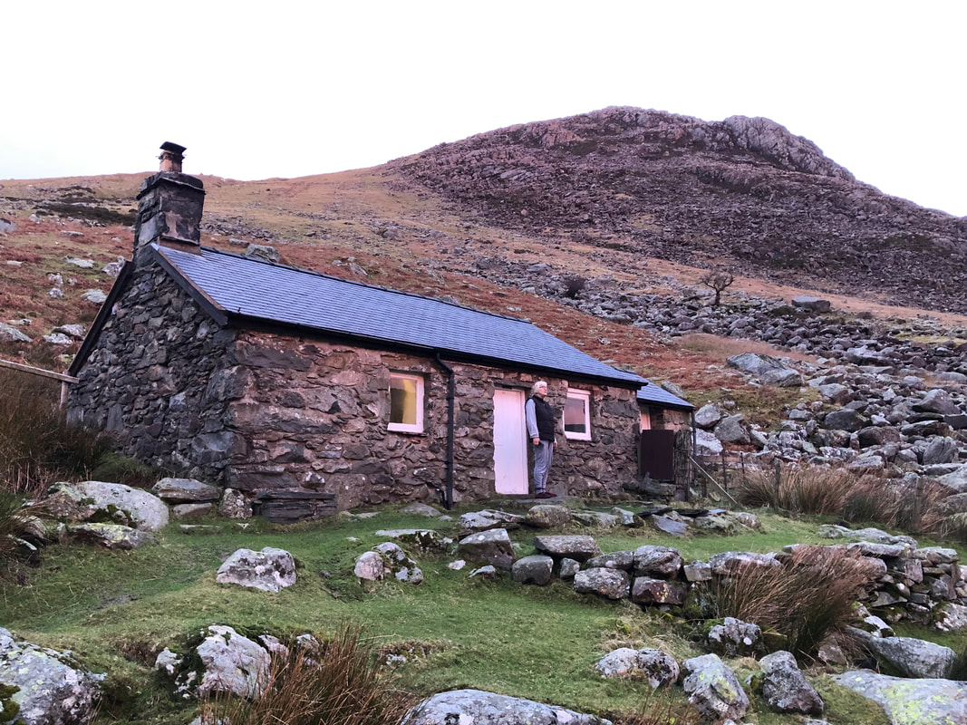 The ugly breaks in this ominous structure are a shocking reminder of the evening 2nd November 1925 when the foundations proved to be too weak and the dam burst, killing 16 people in Dolgarrog, the village below the slopes. Boulders weighing 200 tons were carried down the slopes and cows were left hanging from trees. It was designed to hold 4 million cubic metres of water (1 cubic metre weighs 1 ton). |
On arrival at Dol Peris a lovely hot shower was welcomed before everyone else arrived. The fire was ready to be lit and we soon felt refreshed and ready for the week ahead. Dol Peris Guest House is a beautiful Victorian house, spotlessly clean and all the facilities you need for a self-catering base. We sat round the stove in the evening, catching up, discussing the week ahead and checking the weather forecasts.
Day 1 – Moel Eilio (726m)
Heading out straight from Dol Peris at 9.15am was a great simple start to the schedule. A few very minor lanes to follow before reaching the open hill. I briefed the group of the walk and we all made sure that we had everything we needed for the day ahead. The kitchen had been a hive of happy activity getting a substantial breakfast put away and lunch prepared. Discussions and comparisons of clothing and layering was to be standard conversion for each morning.
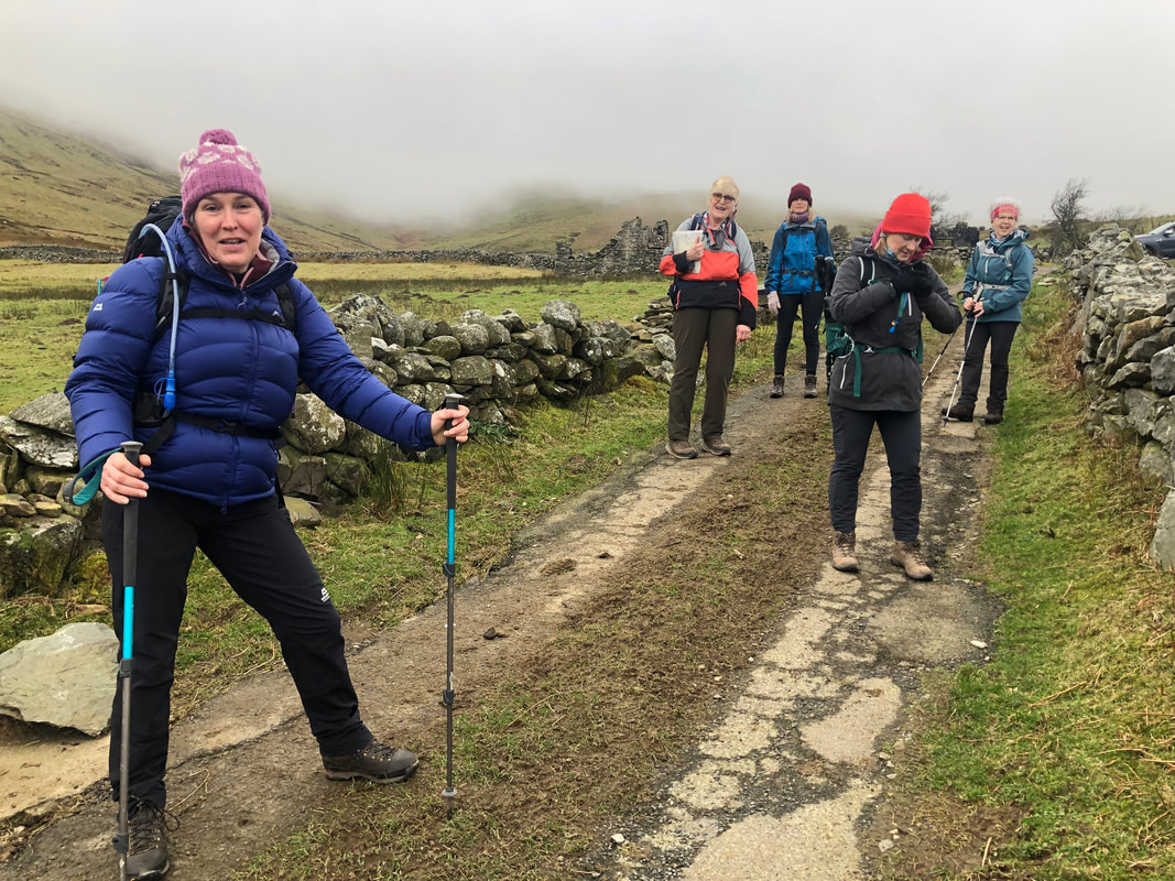 | One of the party, Sian, had stayed in a cottage on the slopes of Moel Eilio years ago and had brought with her a copy of the ‘typed’ notes and directions which included a grid reference. On the way up we were able to identify where she had stayed – it wasn’t one of the ruins… Once onto the open hill, and gaining height, we easily followed an old boundary, now just a long lump in the ground but quite distinct. |
The gradient is gradual but soon increases at about 560m altitude to the summit at 729m. We were in thick cloud from about 450m and high winds. I was aware that the first part of the escarpment was fenced but not all of it and there was a part where I guessed the wind might prove to be too much. The direction of the strong winds being SW was not in our favour. I decided from the top that we would carry on but being prepared to turn back for the safety of everyone.
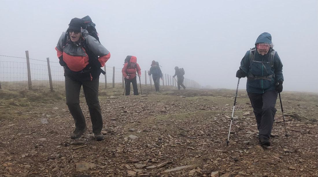
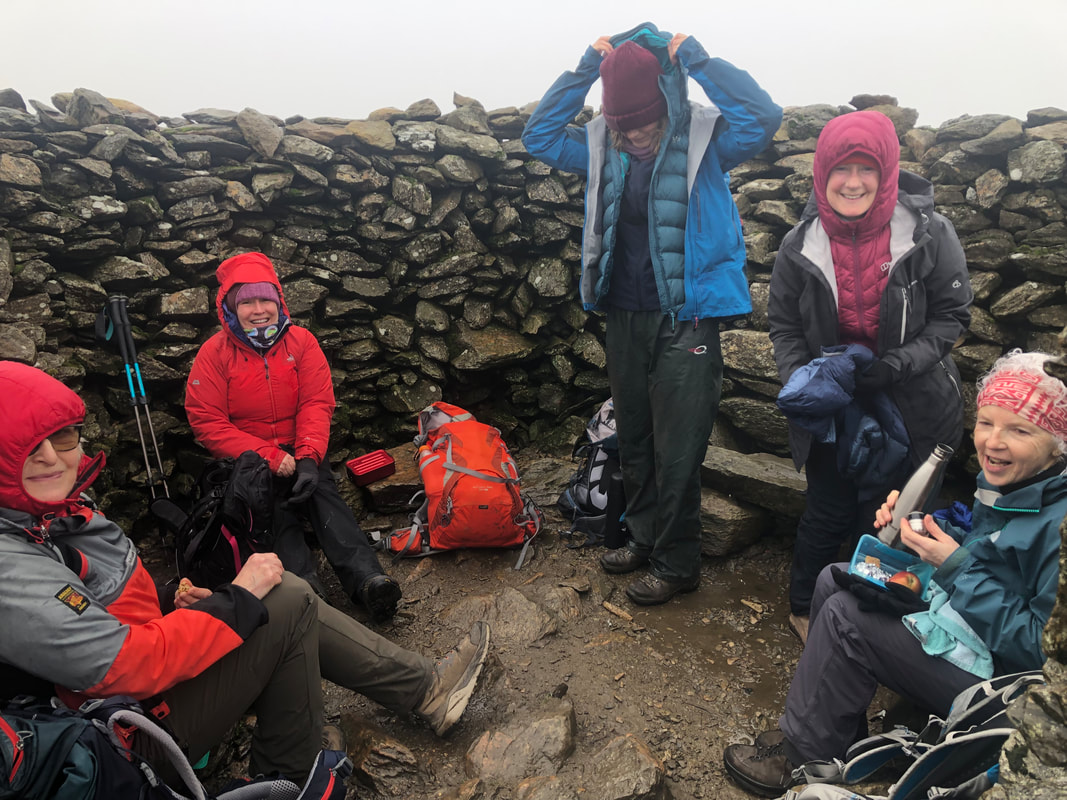
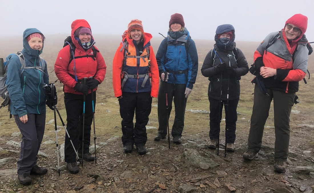
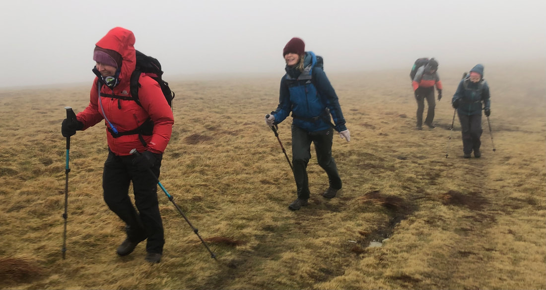
We sheltered in the cairn at the top for our coffee and snacks. It was quite cold but just as we were packing up to continue 3 young girls arrived; they were very kind and offered to take a photo of us but all the time all of us were wondering if they really were kitted out correctly for the conditions. Just after Bwlch Cwm Cesig I used my anemometer and recorded gusts of up to 35mph and general wind speed of 28mph. Not as much as forecast but I knew it could get worse a bit further along.
| Sure enough it did so just before the 628m spot height I made a decision to contour round the top of Foel Gron, head south a bit and then approximately southeast to re-join the path at the bwlch before the ascent up to Foel Goch (605m). Once heading NE down the spur of Foel Goch, Cefn Drum, we were in the lee of the wind and could sit on the slopes and enjoy our lunch. The clouds cleared occasionally allowing us to appreciate the magnificent vista in front of us. | 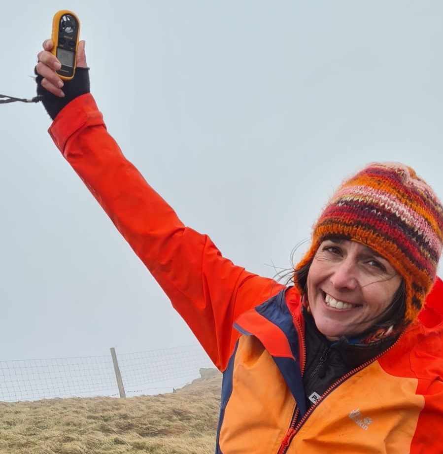 |
‘Moel Eilio was exhilarating in the 25+ mph winds, and with great guides we were able to enjoy our exposure to the elements, knowing we were in safe hands.’ - Sian Davies
We planned to take the footpaths on the lowlands across the valley base of Afon Arddu that would bring us out onto the lane that comes down from the Llanberis path. There is a café here where we were looking forward to a well-earned cuppa. Closed! Even though Google said open all year round! I knocked on the door (not backing down yet) and although friendly, the owner definitely wasn’t going to put the kettle on.
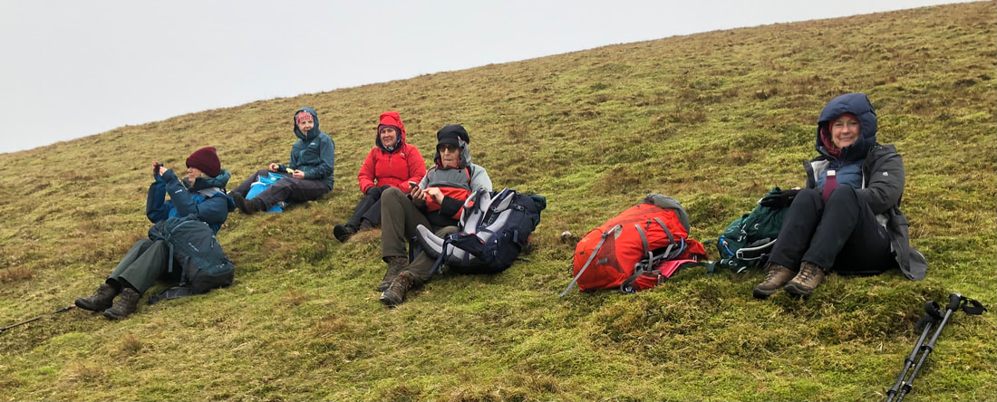
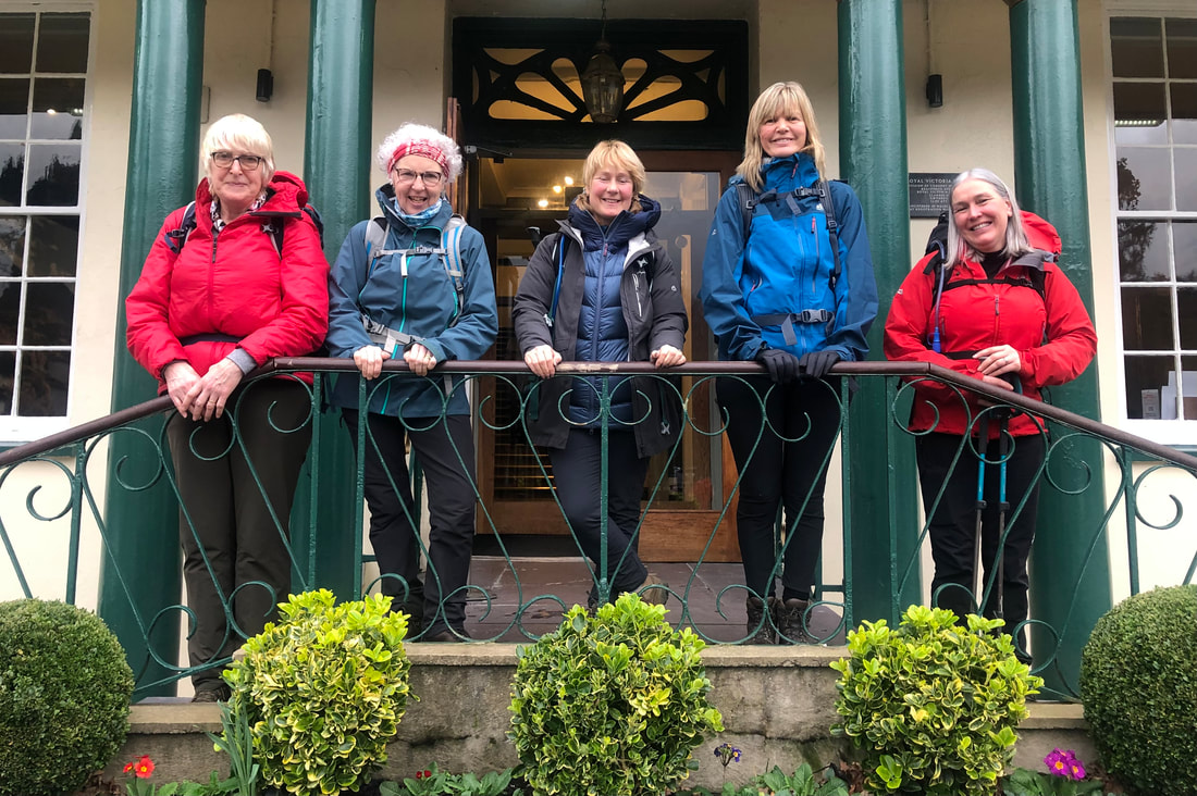 | We had come across an injured snipe on the lane, wing and head damage. There was little we could do so we put it gently the other side of the fence, said our goodbyes and left the rest to nature. At the bottom of the hill The Royal Victoria Hotel, on the other hand, were very obliging and welcomed muddy boots, rucksacks and layers upon layers being draped over our chairs in the bar area. |
Stats – 12.2km, 5 ¾ hrs, total ascent 860m, max elevation 726m, south westerly high winds, 9C, very poor vis, no rain.
Back at Dol Peris we could sort out our kit, use the drying room if necessary, get showered and ready for a meal out at Spice of Llanberis. It was excellent, the food and service very good and what a great way to round of a day out in the elements.
Day 2 Carnedd Moel Siobod (872m)
An early start but for a very good reason…. Breakfast at the Siabod Café!! Everyone in the van, a quick call to check that everything and everybody was in the van, and off we set for a big day ahead. The café deserves its growing fame and popularity; they have got it right in there, great quality food, friendly and helpful service and all sorts of other relevant stuff to look at or buy. Oh, and the best flapjacks. The breakfast order arrived in good time and we were all filling our mountain ready bodies with quality fuel by 9.30am.
A stone’s throw away is the lay-by where we got ready and did final checks and briefing. The Afon Llugwy was looking formidable, carrying a good proportion of the water coming down off the Carneddau (its source is Ffynnon Llugwy Reservoir and joins Afon Conwy at Betws y Coed).
A stone’s throw away is the lay-by where we got ready and did final checks and briefing. The Afon Llugwy was looking formidable, carrying a good proportion of the water coming down off the Carneddau (its source is Ffynnon Llugwy Reservoir and joins Afon Conwy at Betws y Coed).
| It’s uphill from the start gaining height quickly before it levels out when the open hill is reached. The northeast end of the ridge on Moel Siobod was viewed most of the time on the way along the old mining track to the small, dammed lake (with no name). from here we decided to reach the quarry lake before stopped for our morning coffee. | 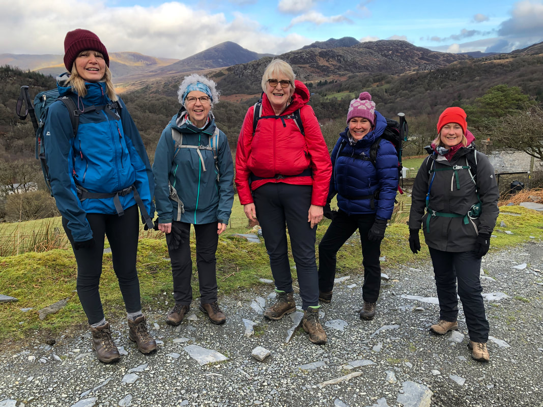 |
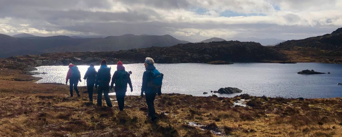
There was another group of walkers who seemed to be just where we wanted to be on more than one occasion, so we headed a bit further up above the lake and settled there for coffee and snacks. Breaks in the high clouds were letting through warm spring-like sunshine; we were all stunned by the warm hues of the rocks and vegetation which naturally complemented each other, and the sun being on its low winter arc created contrasts and shadows creating a combined effect that our phone cameras would never really capture – you had to be there.
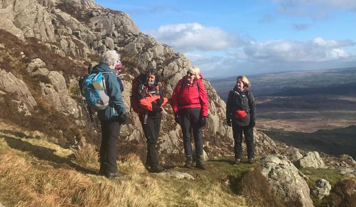
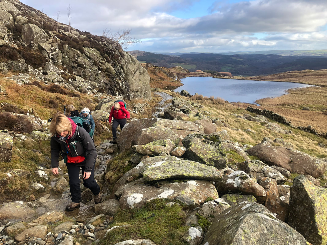
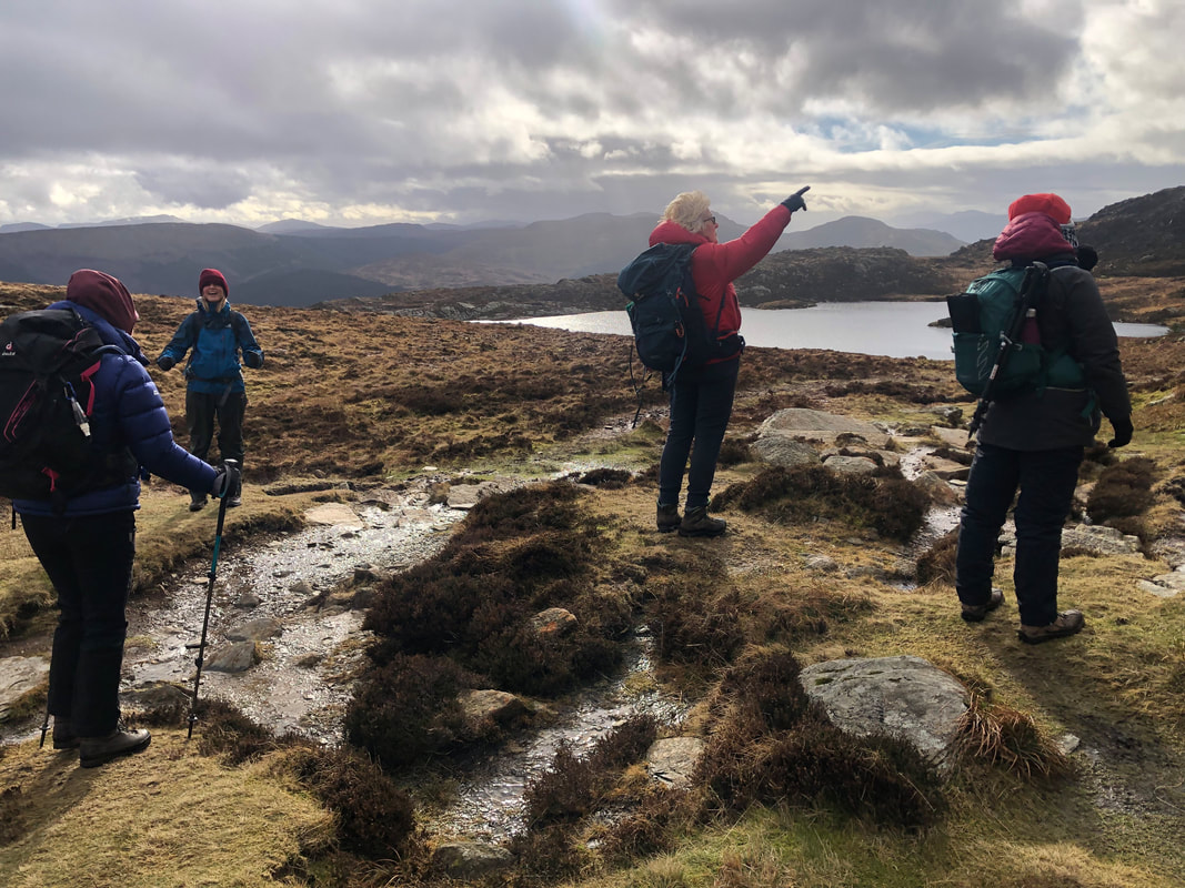
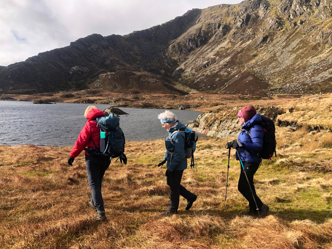
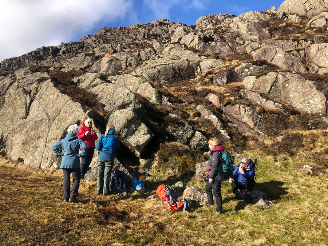
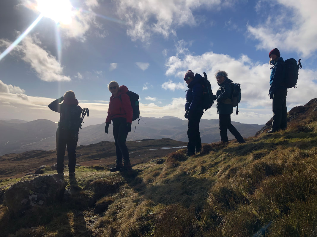
In the cwm* of the mountain, where Llyn y Foel sits, it is always boggy so this time we decided to take the ‘café recommended’ route around the southside of the lake. We did encounter plenty of water but managed to get round to the other side without too much difficulty. Heather had done the climb only 2 weeks previously so she led the way from here – the climb! (the other group of walkers were taking the ‘Daear Ddu’ route - rather them than us with the strong westerly winds).
Even though the route is challenging and needed focus at times, the path was very much more visible than 2 years ago, I think this is because the café have certainly promoted the mountain in the last 5 years, and in the last 2 years Snowdonia has been swamped with visitors without time to recover.
*cwm - (especially in Wales) a steep-sided hollow at the head of a valley or on a mountainside; a cirque. No exact equivalent word with the right meaning.
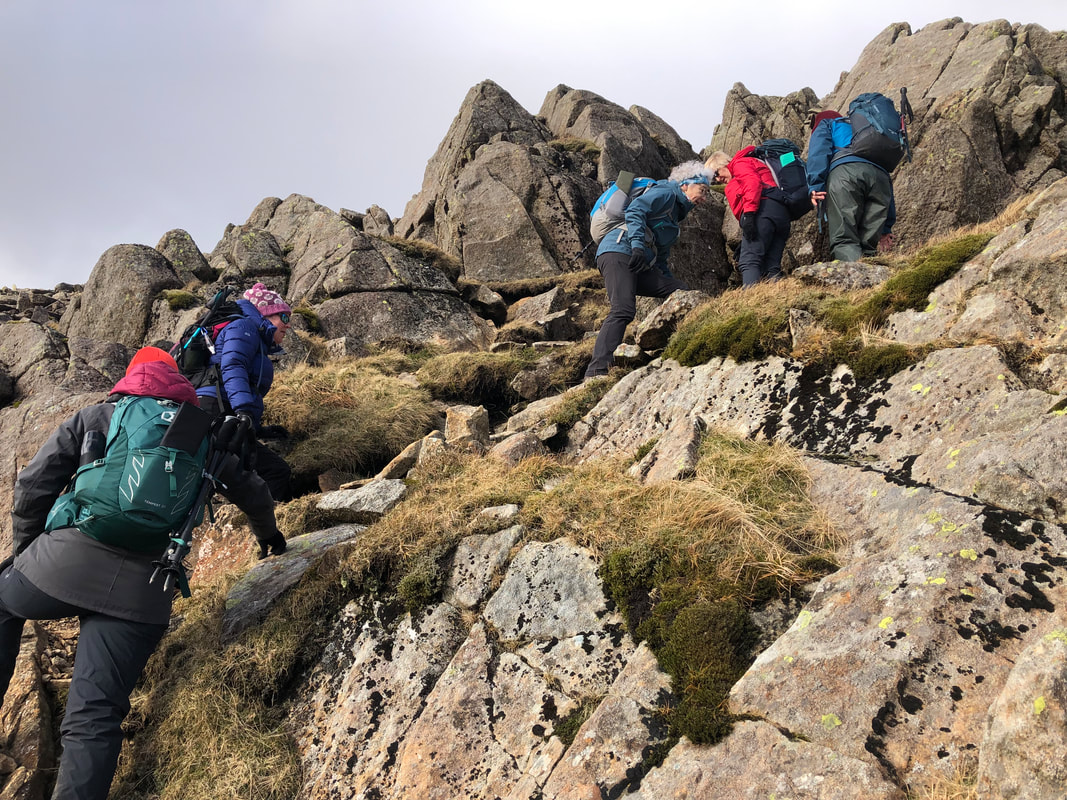
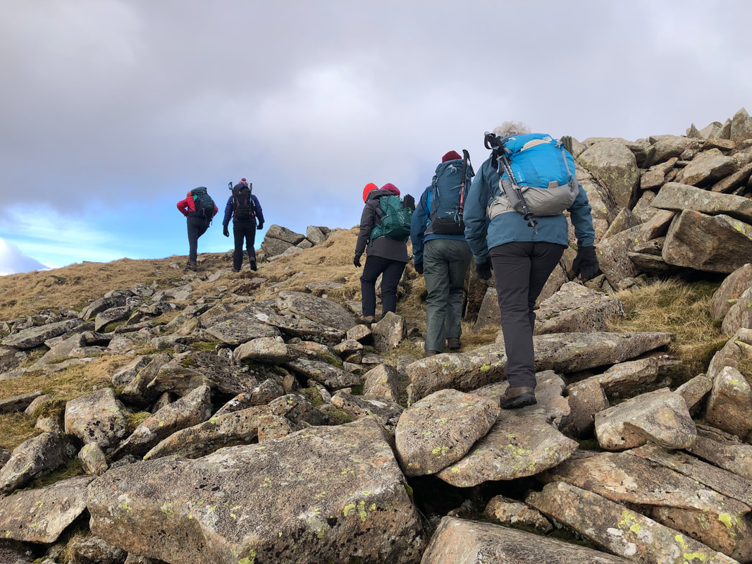
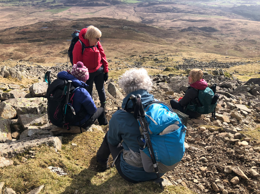
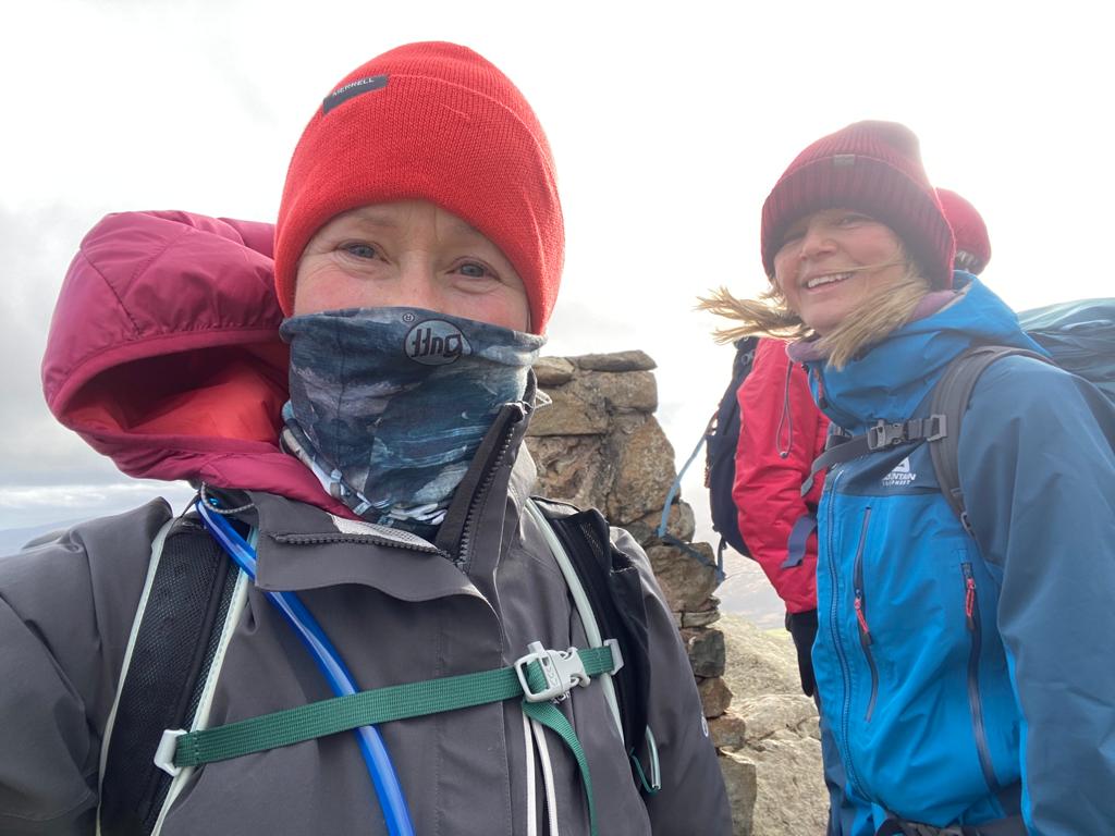
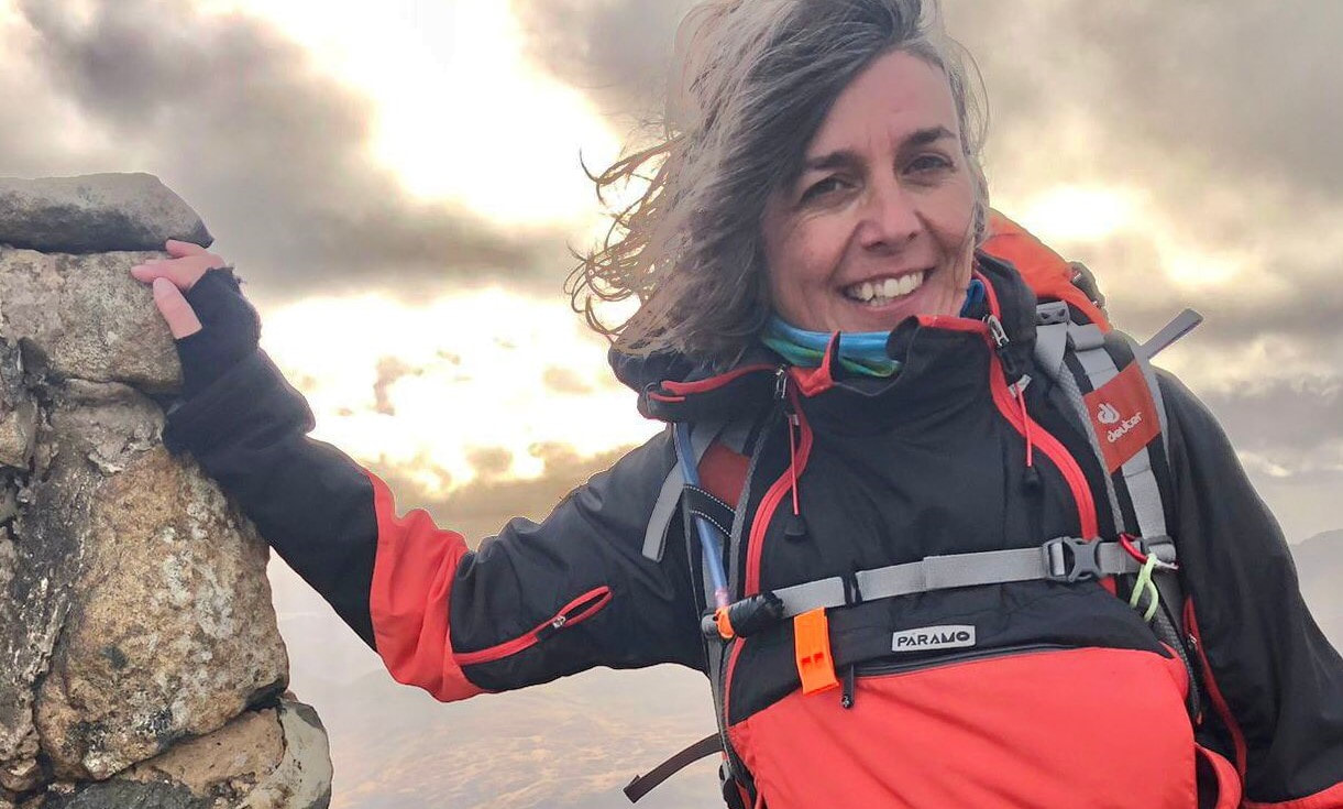
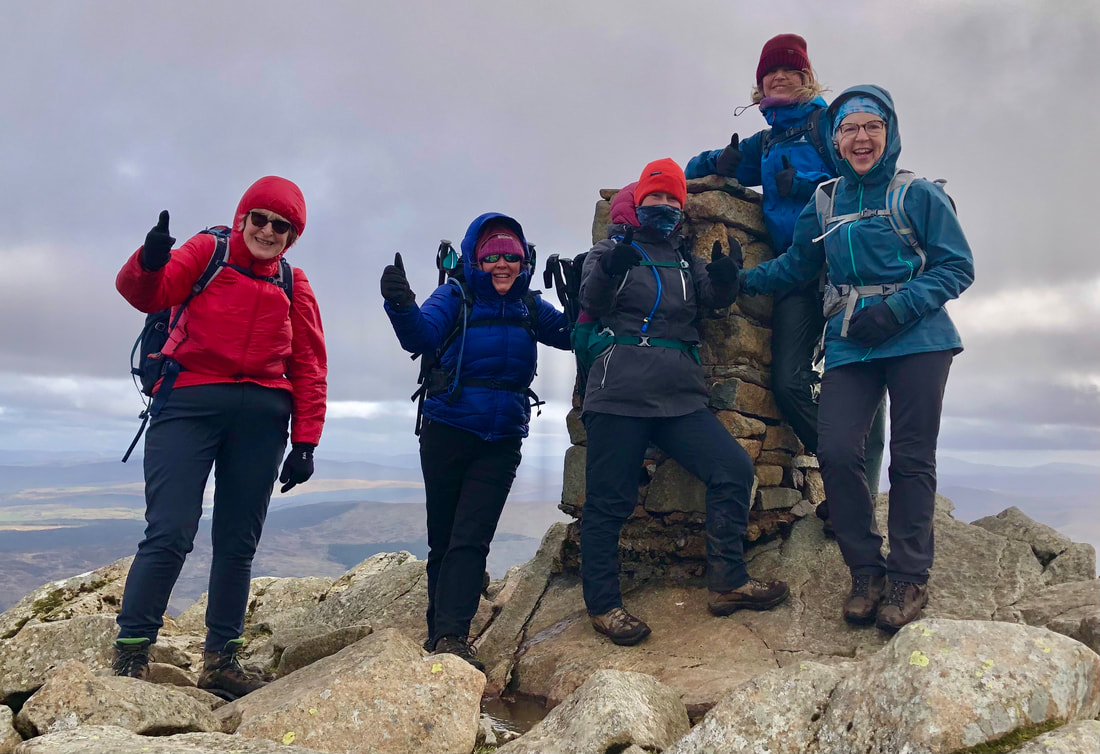
On reaching the top everyone was happy with a sense of achievement and the views were fabulous. It was very windy so quick photos at the trig point and then we made a bee line for the cairn shelter. The wind was blasting its way through the gaps in the rocks, so we all put on an extra layer, I popped my head above the parapet only to find that the views were fast disappearing and a snow cloud was heading our way. I gave the group a minute or two to pack up and it was sharp exit from the top while we still had good visibility.
‘Seeing all those smiley faces on the summit of Siabod, great sense of achievement.’ - Heather Maling
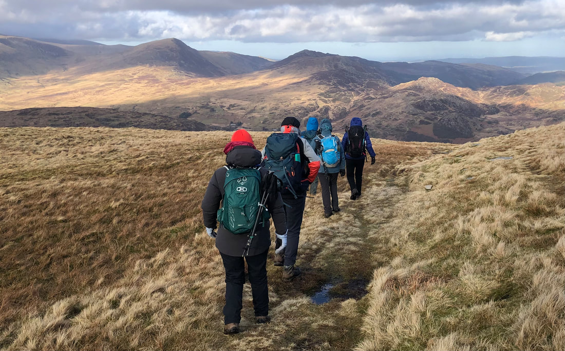
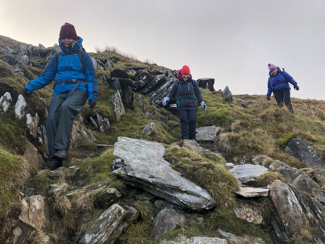
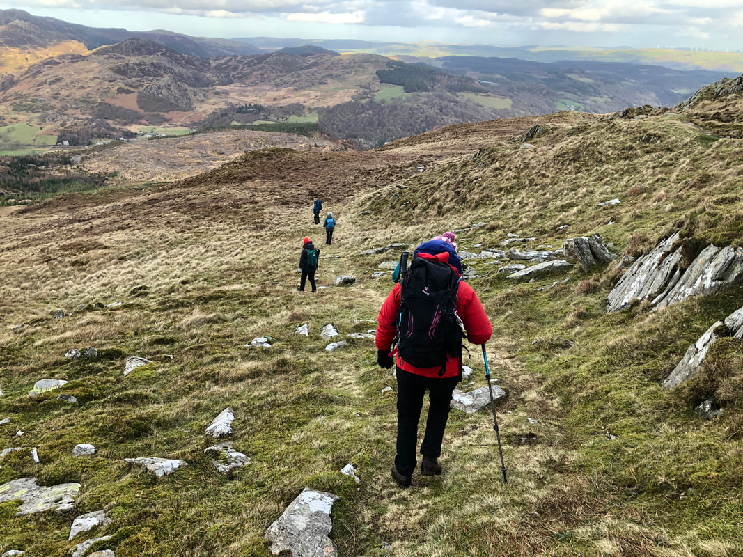
The descent from the top northwards requires good balance in stepping over small boulders until an easier path is reached. We caught the tail end of the snow cloud with just a flurry of snow, it passed quickly. I couldn’t quite believe that looking NE we could see the wind farm out at sea in Colwyn Bay. The air pollution must have been very low, no haze. Staying on this contour more or less northeast to a stile and a path that takes us on the main spur of the mountain and a route down - at times was either very wet or meant carefully negotiated steps down a very eroded path.
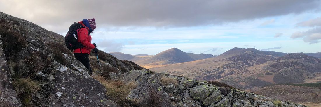
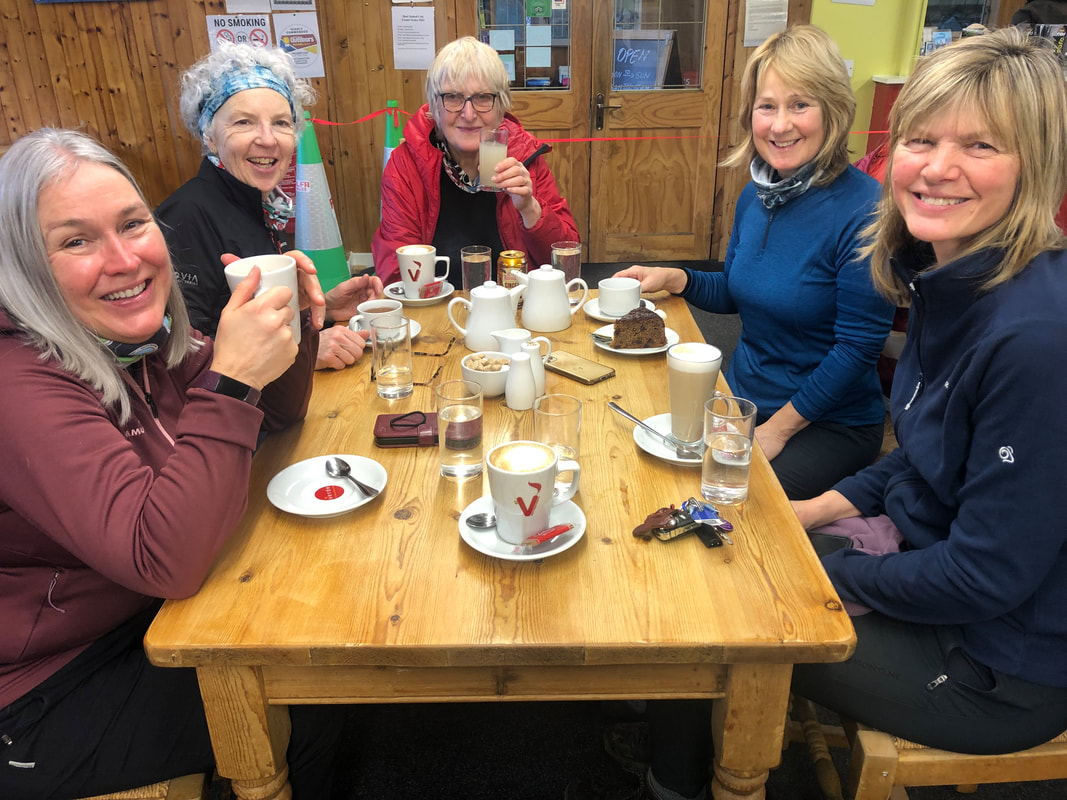 | One of us thought about visiting the Siabod café on our return so we checked the opening times and reckoned that we would be just in time for refreshments. So exactly 7hrs later we were back supping on very good coffee and stocking up on flapjacks. |
‘Punctuated between pre- and post-fuelling visits to the Siabod café, this climb offered some more technical challenges, and we were rewarded with jaw-dropping 360° views, spotting Dolwyddelan castle down below – and the formidable Tryfan from the trig!’ – Sian Davies
Stats – 10.8km, 6.5hrs, total ascent 787m, max elevation 872m, westerly high winds, 7C, very good vis, no rain, a flurry of snow.
A relaxing evening at Dol Peris lay ahead; everyone made their own meals and we sat round the fire and chatted until we turned in one by one.
Day 3 Snowdon (1085m)
Thursday had remained the best day weather wise to attempt Snowdon and up and down the Llanberis path would give us the best chance of succeeding. Strong westerly winds were forecast so the route of the Llanberis path would be a safe option too. Some of the best views are on this ascent. So, with sun forecast to appear at around midday and light snow showers forecast on and off all day I reckoned an RV of 0830 would give us a good start. We left the van at the Royal Victoria Hotel and Heather nipped in to get permission for parking, with the promise of us having drinks there at the end of the day.
Instead of taking the lane we took the path up through pretty woodland re-joining the lane by the ‘closed’ café. The owner was about - We were a bit surprised to learn from him that if we’d said on Tuesday that we were staying at Dol Peris he would have put the kettle on. At that point two walkers arrived, having already bagged the summit and were let in for their morning cuppa; they appeared far too busy, knackered or perhaps too important to even give us a friendly ‘good morning’. All quite strange but it gave us something to talk and laugh about.
We checked on our deceased snipe – still intact but definitely dead, poor thing.
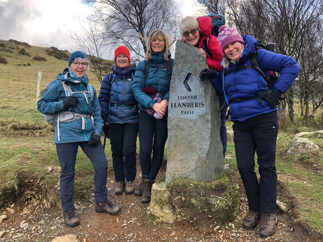
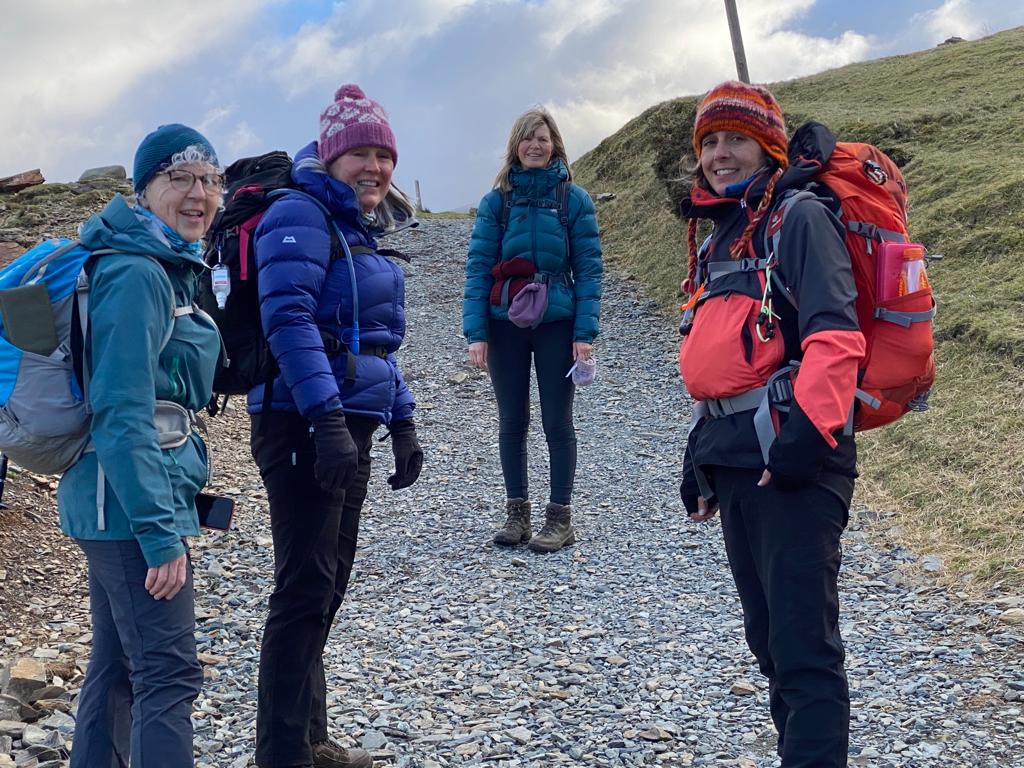
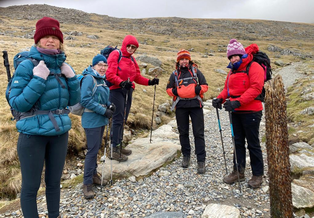
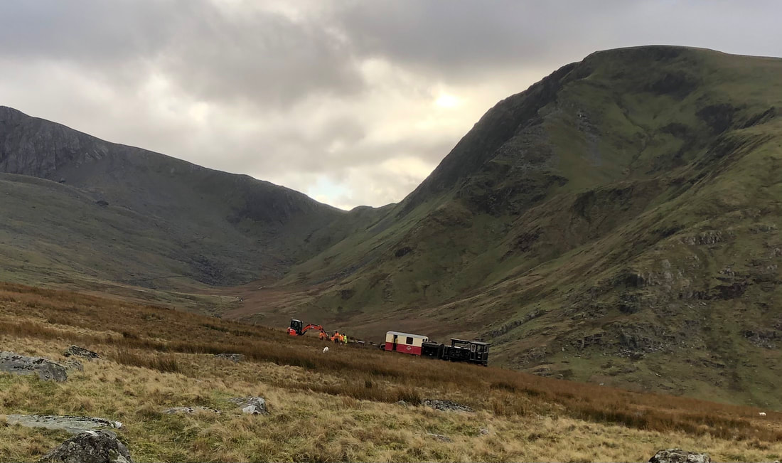
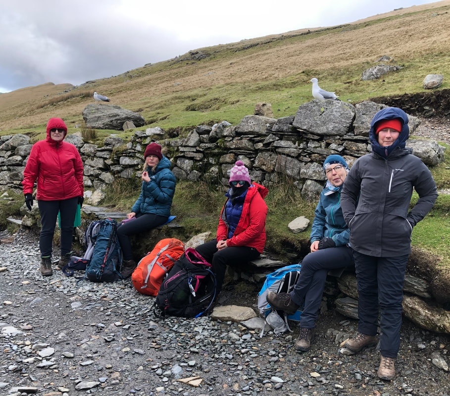
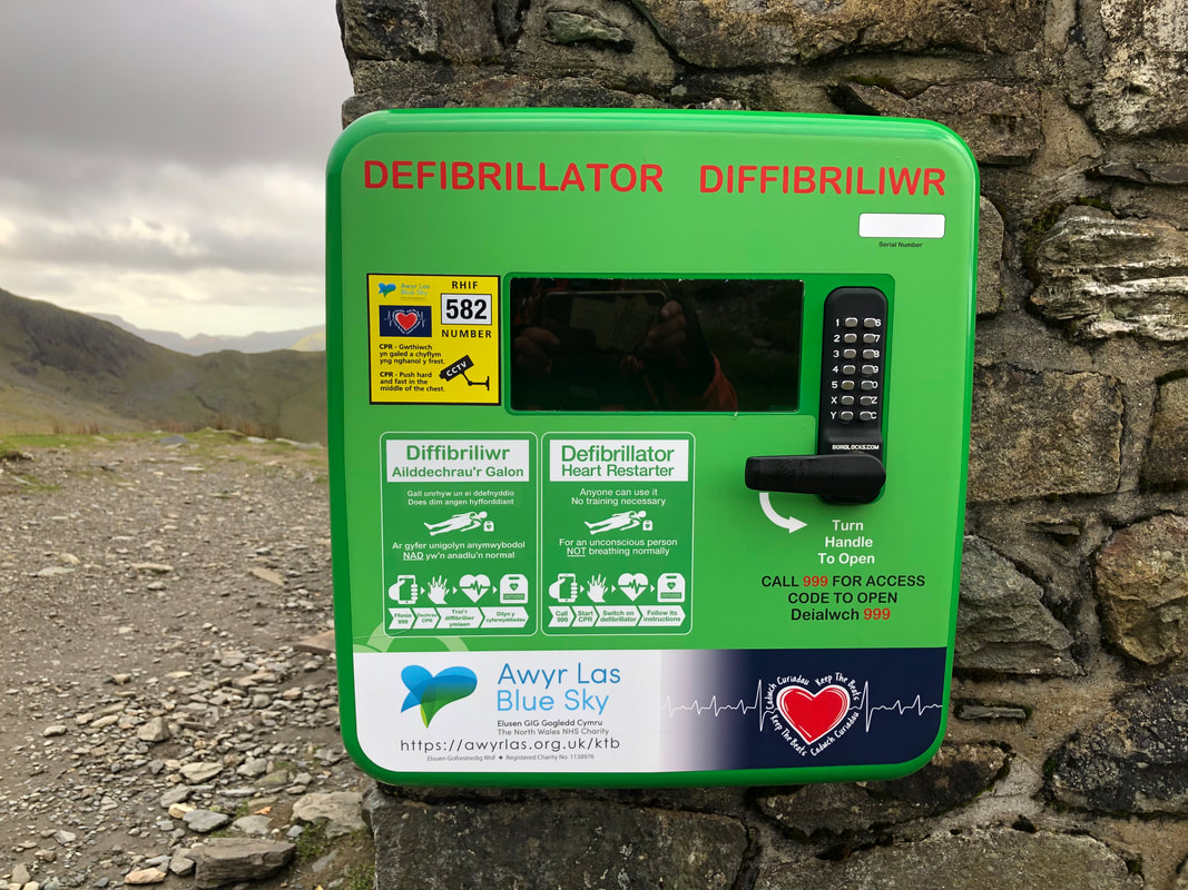
It didn’t seem long until we reached the Half Way House café (approx. 540m). I don’t think I’ve ever seen this open and with passing trade every day I wondered why it doesn’t open more. It’s a pity because the west facing wall provides privacy for a comfort stop which I’m sure many walkers take advantage of – if it was open, I don’t think that this would happen.
We could see over to Moel Eilio which was really satisfying; now everyone could see where they had walked on Tuesday. It had been such poor vis we could have been anywhere but now it all fell into place. Heather told us stories on the way up from her days of working in the café at the top and of being in the rescue team. She was able to tell us that the stationary train and the workers on the track was called the P-Way (P short for permanent) and was there for maintenance. There were quite a few workers bussing about in their hi-vis PPE. I hoped for them that they had some kind of warmth in the train carriage, dealing with all that freezing metal and in such chilling winds made me feel cold just thinking about.
We could see over to Moel Eilio which was really satisfying; now everyone could see where they had walked on Tuesday. It had been such poor vis we could have been anywhere but now it all fell into place. Heather told us stories on the way up from her days of working in the café at the top and of being in the rescue team. She was able to tell us that the stationary train and the workers on the track was called the P-Way (P short for permanent) and was there for maintenance. There were quite a few workers bussing about in their hi-vis PPE. I hoped for them that they had some kind of warmth in the train carriage, dealing with all that freezing metal and in such chilling winds made me feel cold just thinking about.
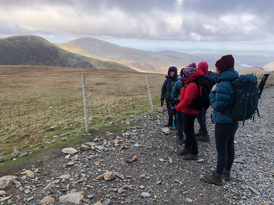
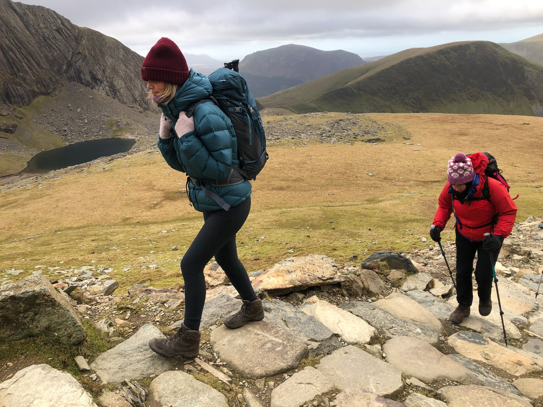
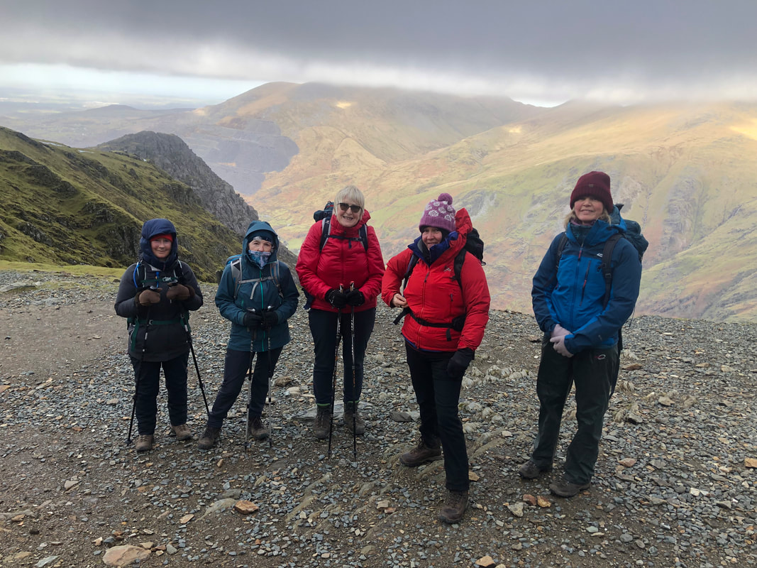
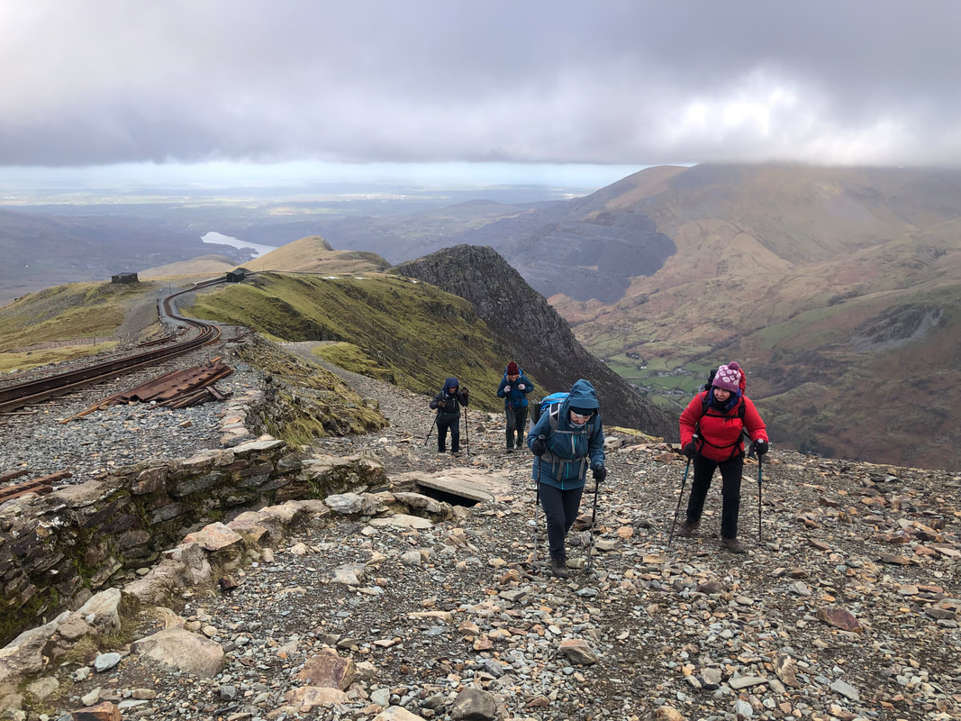
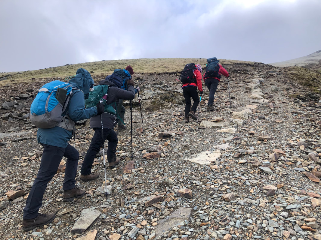
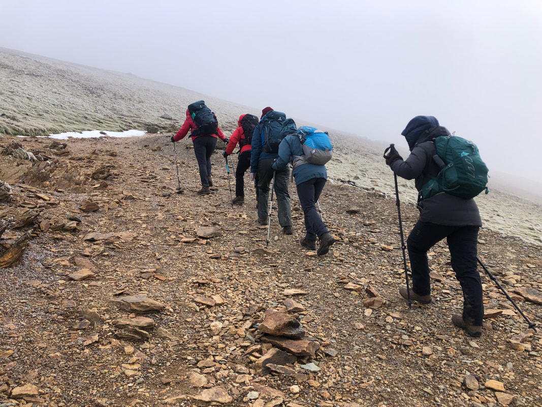
Just past the café the temperature was noticeably dropping, there were tiny signs of ice on the path and the winds were definitely getting stronger. A friendly walker had stopped to say hello so I asked him what the conditions were like at the top; his water in the tube had frozen but he said there wasn’t much ice under foot – all useful information. Once under the bridge (approx. 775m) and in the lee of the wind we stopped to put on extra layers.
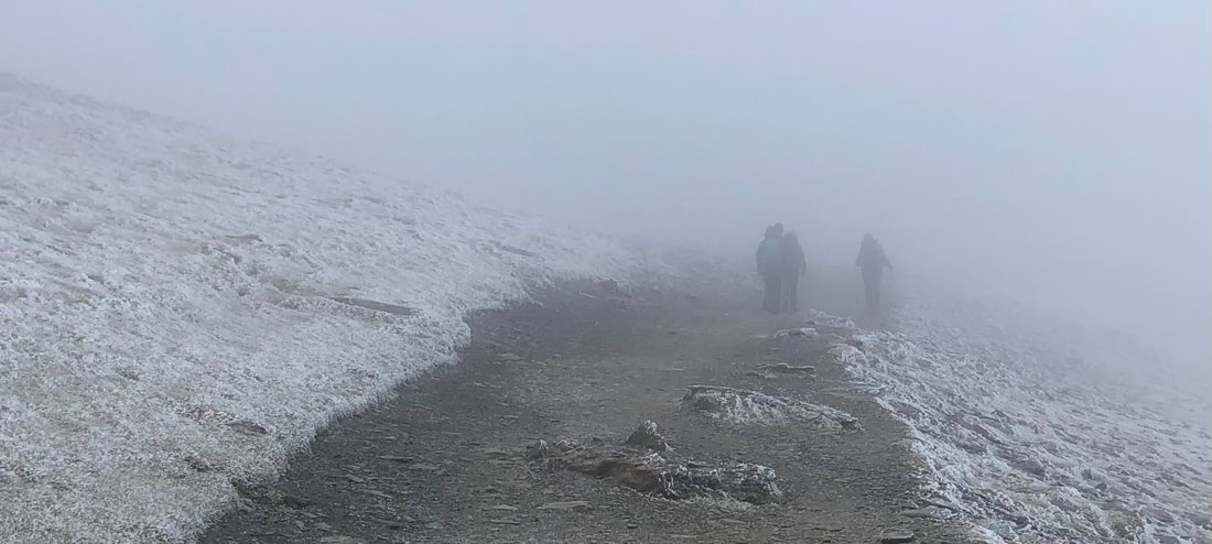
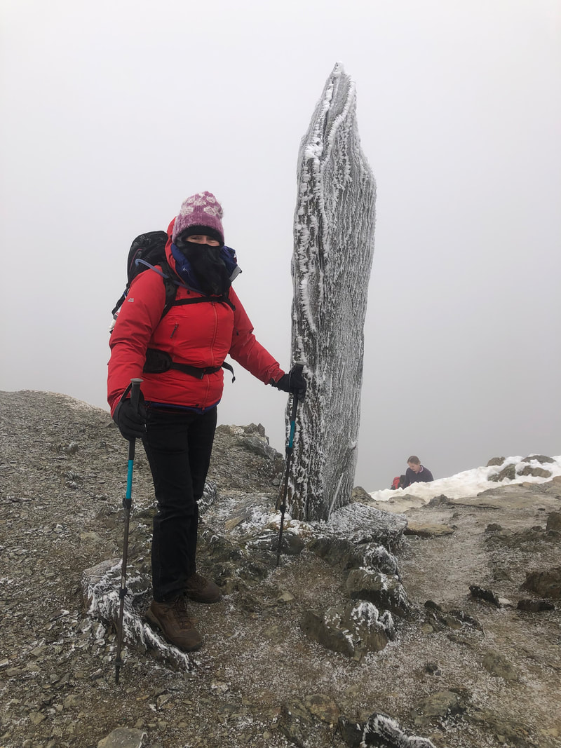 | From here the gradient increases and for a while the ground is quite lose but the cold conditions had actually made this easier as the small bits of grit had stuck together, yet it wasn’t slippery. We soon reached the cloud (approx. 900m), although the visibility seriously dropped, the path remained clear and we could battle on. After 3hrs and 20mins (from the start) we reached the top. The heavy frosty-like covering on the rocks was amazing – one of nature’s works of art. It was seriously cold so we found some shelter by the café wall, layered up and devoured what we could in a short space of time before a quick photo by the trig point. |
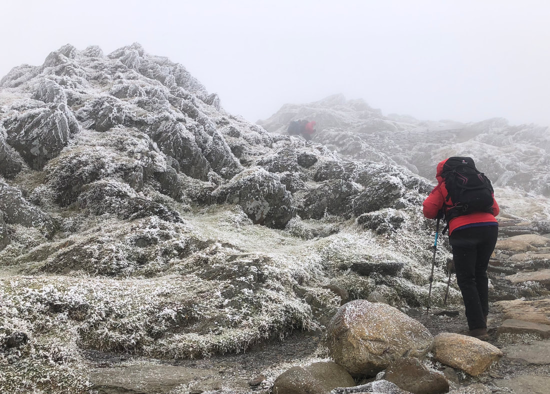
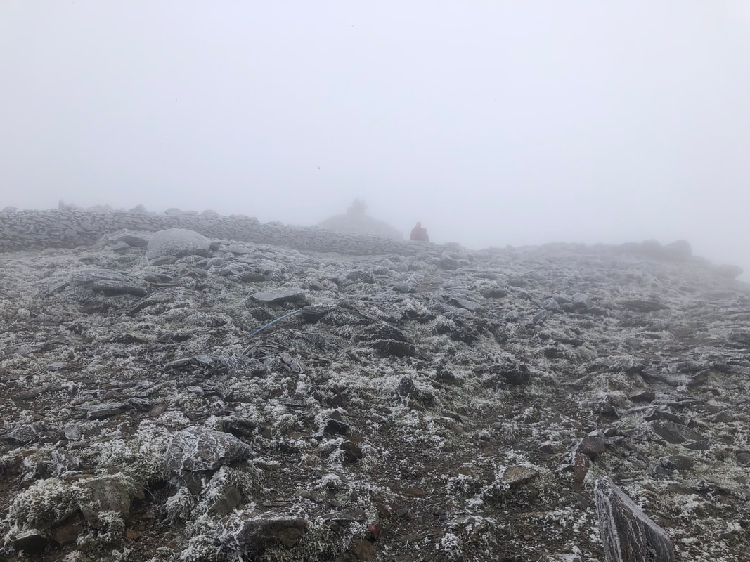
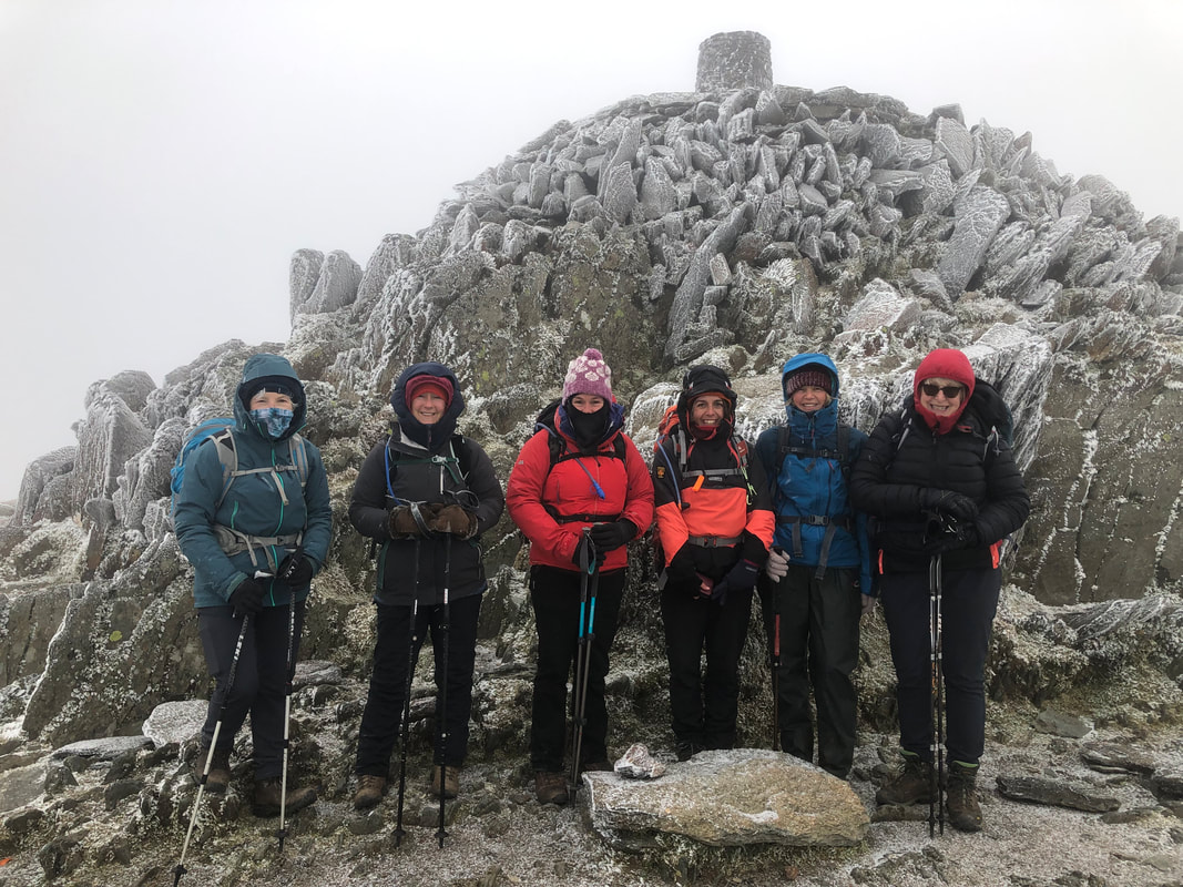
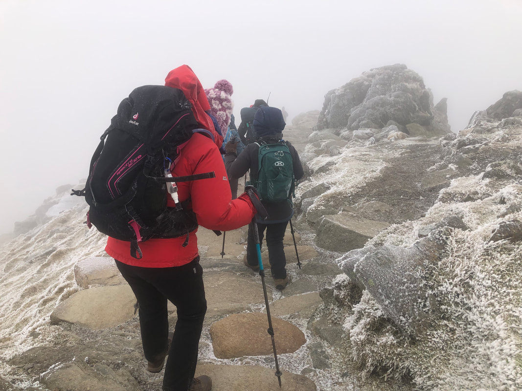
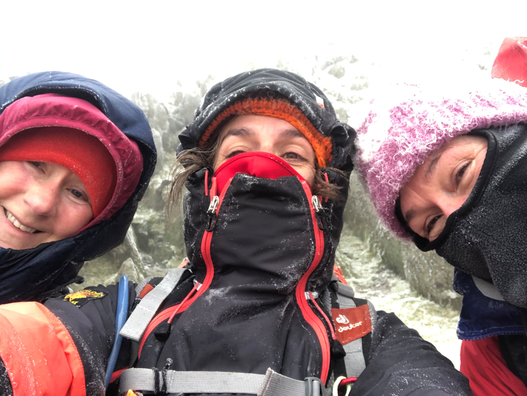
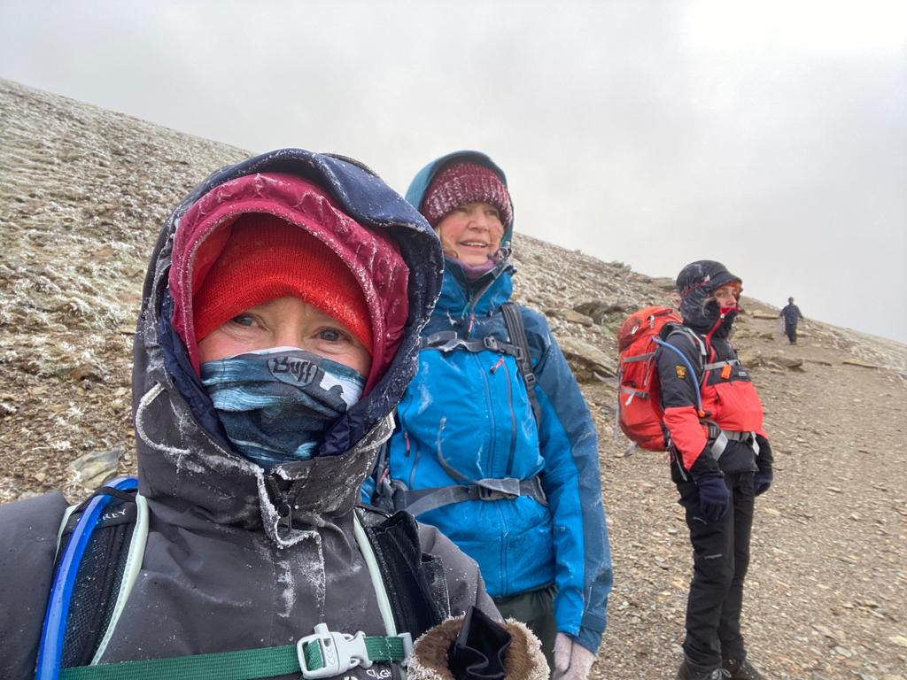
| Care had to be taken on the steps up to the base of the cairn and I ruled out going any further ie up to the trig – it was too slippery, windy and gusty. Everyone was happy with this decision and someone kindly offered to take our photo. If it hadn’t have been quite so cold I would have beckoned for a group hug, I felt quite emotional for the ones whose first time it was on Snowdon – great when it’s so memorable, who needs views! I think we had timed it just right, an hour or two later and there would be a lot more ice where there was water running on the path. | 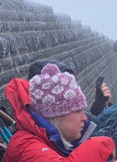 |
Onwards, and it would now be down, down, down! The strong wind and sharp, icy droplets hitting the left-hand side of our faces was quite painful, so each of us with minimum amount exposed all pushed on and remained focussed. I felt very proud to have such a great team with me – very strong, very competent.
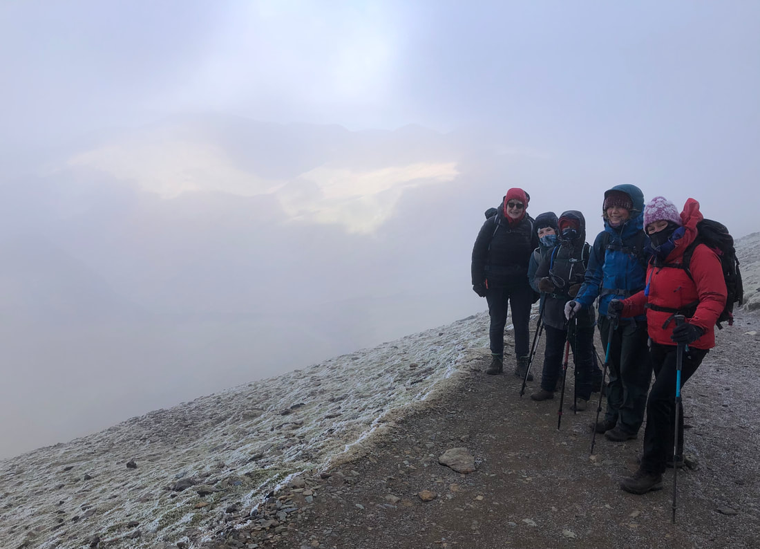
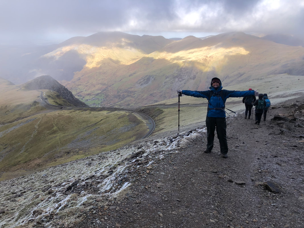
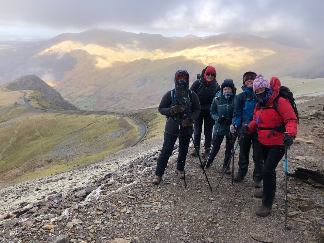
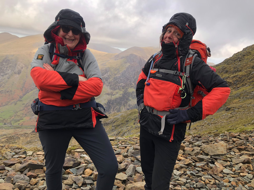
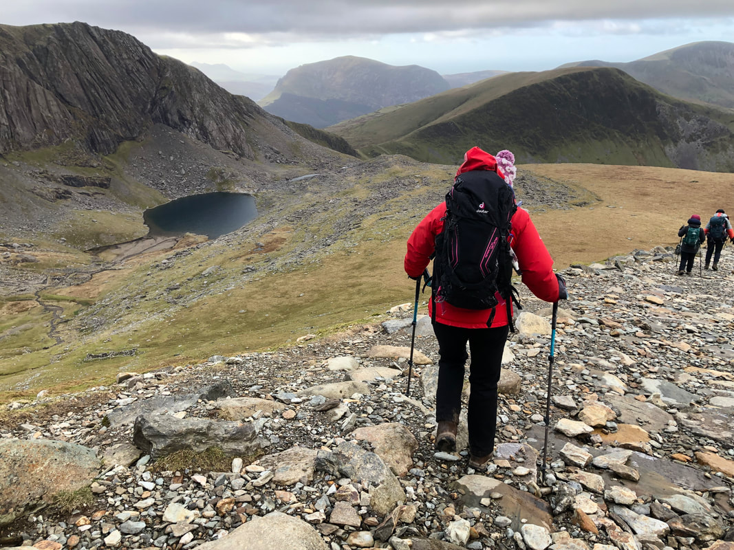
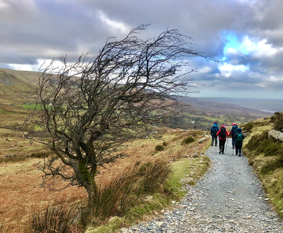
‘The Wind Chill factor as we ascended on the Llanberis path on the final day did not detract from the buzz of reaching the very frozen and white Wyddfa Summit. The descent was equally thrilling, as the surrounding peaks popped in and out of our vision.’ - Sian Davies
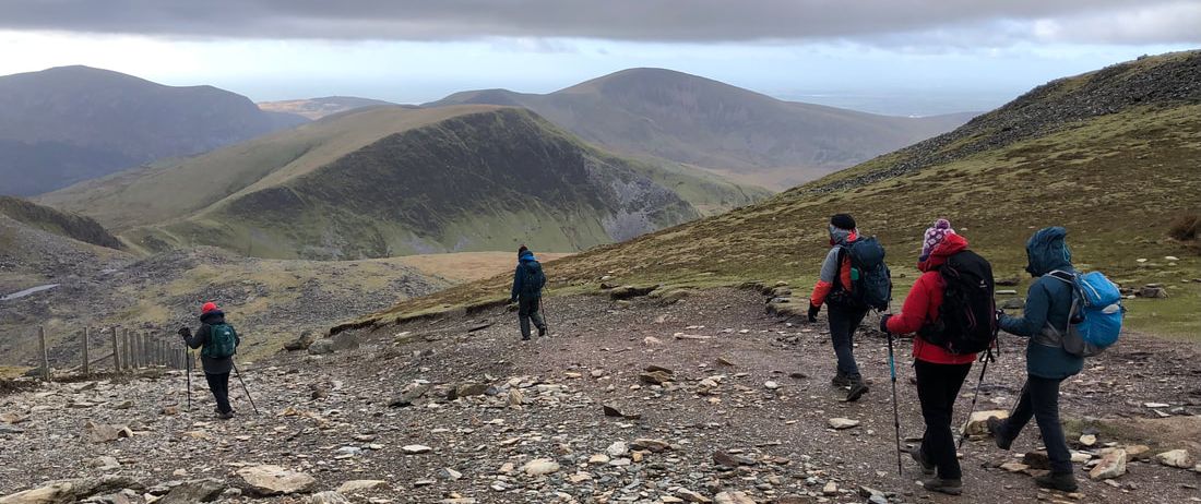
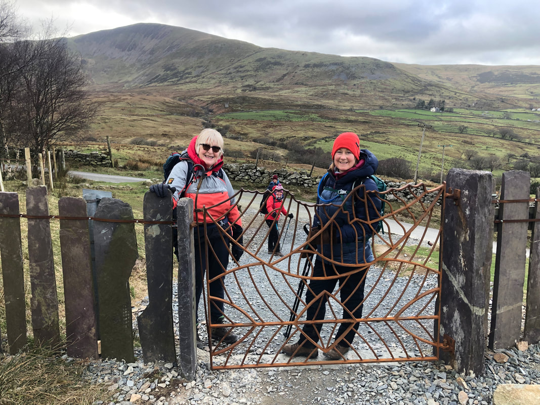
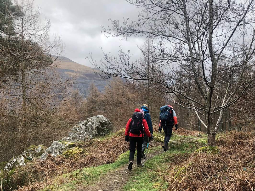
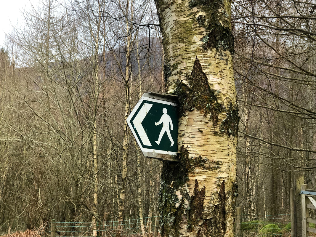
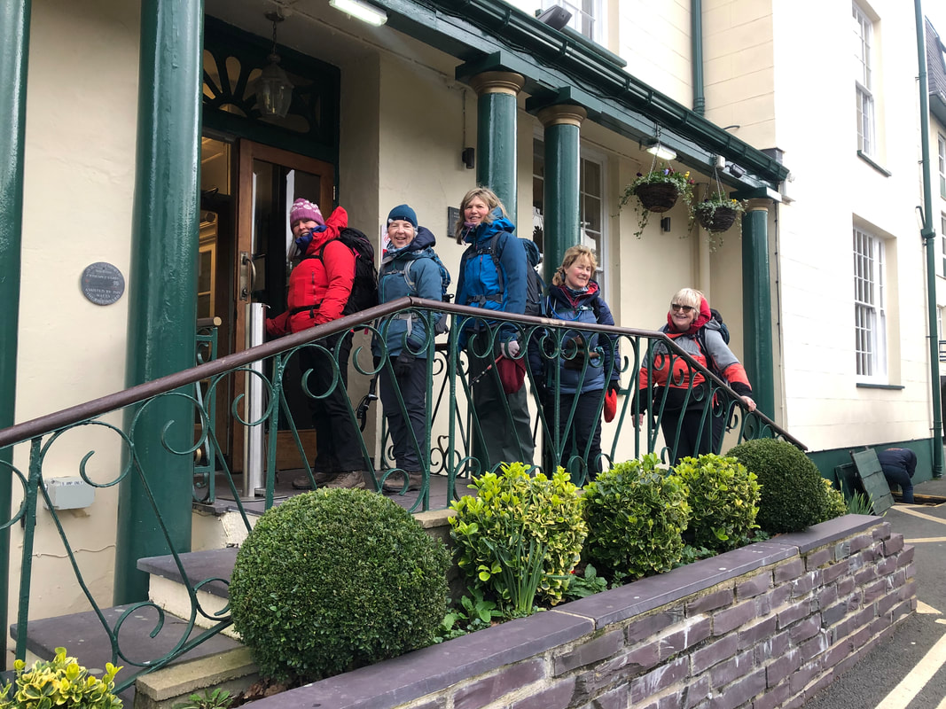 | It was quite a shock to emerge from under the clouds, a superb vista which only added to everyone’s high spirits. We had one short stop at the Half Way House and in 2.5 hrs (from the top), we were keeping to our promise and enjoying a drink in the Royal Victoria Hotel with a very big cheers! Well done everybody! |
Stats – 15.8km, 6 ¼ hrs, total ascent 1018m, max elevation 1085m, westerly high winds, 4C at approx 400m (wind chill -14C at the top), mixed vis, no rain, icy drizzle at the top.
The accommodation at Dol Peris gives you the guarantee that you have everything you need at the end of a challenging and enjoyable mountain day; hot shower, space to put all your kit and a welcoming homely atmosphere. This is what we all needed and with a quick turnaround we were all refreshed and ready to jump in the van and go up to the Tyn y Coed for our evening meal. Built in the 19th century to accommodation the growing number of visitors in north Wales. Outside proudly stands an old stage coach. We had booked a table just in case and although quiet in there, there was a fantastic coal fire chucking out the heat. I like to think this was lit just for us! It was certainly appreciated. The food arrived quickly and we were all pleased with our choices.
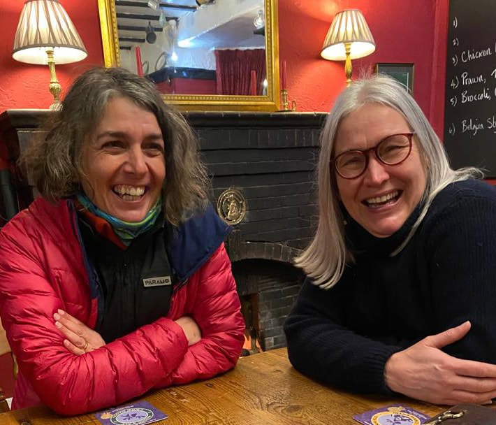
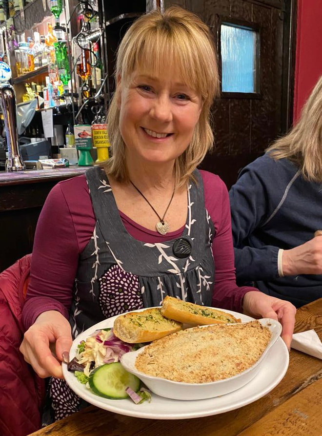
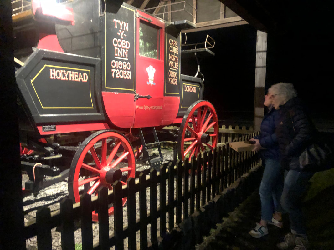
Wine flowed as did conversation and laughter. I was driving so enjoyed a ginger beer and peppermint tea with my very big burger and sweet potato fries. Heather and I were each presented with a lovely thank you card, signed by all, a bar of 70% chocolate and the cost of our meal covered; extremely kind and a very thoughtful acknowledgment from our intrepid group.
The end of the week had come round all too soon but there was one last task to do and that was breakfast at the famous Pete’s Eats in Llanberis on Friday morning. It was raining heavily so 3 of us ran down to get a table only to find it wasn’t open until 1000. I had checked several times on google but I suppose it always pays to look at the opening hours on the actual door. The Siobad Café it is then, and with no doubting from anyone we all jumped in our cars and drove in convoy to our favourite caf’. And guess what? They recognised us…
After much summing up of the 3 walks and experiences we said our good-byes and embarked on our journeys home.
After much summing up of the 3 walks and experiences we said our good-byes and embarked on our journeys home.
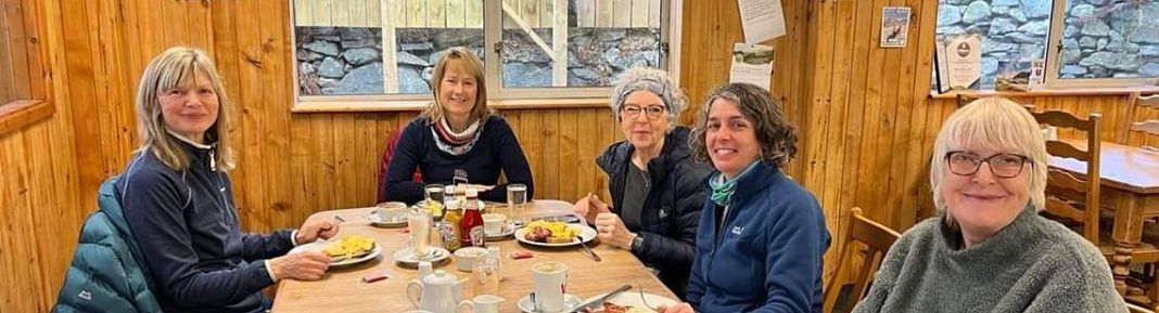
Summing Up
‘My most memorable moment isn’t one that is easily identifiable. For me it is about being part of a team. Enjoying each other’s company in a way that is supportive - not competitive in any way, I guess. I love the social side of it as well. The mountain walking is always a challenge with the mountains you choose but secretly I know I will get there anyway! The female environment and support is a new thing in my life which I love.’ - Wendy Cottis
‘Thank you, Helen of ‘Bryn Walking for Women’ for an amazing 4 days in the mountains of Snowdonia, 3 challenging treks, all very well organised, my favourite was Moel Siabod. I look forward to more events with this group. I would certainly recommend them.’ - Jayne Kirk
‘Exciting, challenging, relaxing and very therapeutic but guided and supported all the way by Helen! A fabulous time spent in Snowdonia – Thank you.’ - Anabel Powell
‘So many memorable moments Helen….involving goats and Siabod flapjacks mostly!! Three excellent and different walks over the three days. A truly memorable few days, diolch o gallon.’ - Sian Davies
‘My favourite day was Snowdon. The change in conditions and immediate scenery was incredible and I felt so happy (was holding back happy tears) that we’d achieved the summit for those who hadn’t been there before. We had done so safely and with no hesitation to turn back on the way if necessary. I felt proud of all of you – fit, competent and capable and above all, smiling through-out. Thank you for your great company and courage and supporting Bryn Walking for Women and for your anecdotes and some of the photos for this blog. Last but not least, thank you to my very good friend Heather for assisting me all the way on this event and providing stories from Snowdonia throughout the week.’ - Helen Menhinick (Mountain Leader and author of this blog)
Words from Writers who Travelled Wales
George Borrow Wild Wales 1862
‘Snowdon or Eryri is no single hill, but a mountainous region, the loftiest part of which, called Y Wyddfa, nearly four thousand feet above the level of the sea, is generally considered to be the highest point in southern Britain. The name Snowdon bestowed upon this region by early English on account of its snowy appearance in winter; Eryri by the Britons, because in the old time it abounded with eagles, Eryri in the ancient British language signifying an eyrie or breeding-place of eagles. Eryri likewise signifies an excrescence or scrofulous eruption. It is possible that many will be disposed to maintain that in the case of Snowdon the word is intended to express a rugged excrescence or eruption on the surface of the earth.
The Wyddfa is about 30 feet in diameter and is surrounded on three sides by a low wall. In the middle of it is a rude cabin, in which refreshments are sold, and in which a person resides throughout the year….. Below on all sides are frightful precipices except on the side of the west.’
H. A. Piehler - Wales for Everyman 1935
‘Y Wyddfa (‘the tomb’ or ‘the view point’ or ‘the conspicuous’) is the central summit, marked by a cairn. The summit of Snowdon is a dismal litter-strewn spot, degraded by its popularity and redeemed only by the view. The Snowdon Summit Hotel consists of two wooden huts, where meals or refreshments (alcoholic or otherwise) are obtainable in summer, and where the night may be spent by those who want to see sunrise. A letter box and telegraph office are available.’
E. G. Rowlands - Walking in Snowdonia 1951
‘It is of interest to note that, while long usage has made Snowdon the name of the peak, the Welsh title is Y Wyddfa, meaning the tomb or barrow, from a legend that a giant was buried there. The word Eryri, still sometimes used, is shortened from “Creigiau Eryri” or the rocks of the eagles, a term applying to the whole region round the summit. Today no eagles fly there.’
H. V. Morton – In Search of Wales 1932
‘On the very crest of Snowdon is a small, wooden hut. I went inside. Men and women were standing before a friendly stove drinking hot coffee. I noticed the train conductor.
‘This cloud will blow away soon?’
‘You’ll see nothing today’ he replied. ‘There will be no view whatever’’
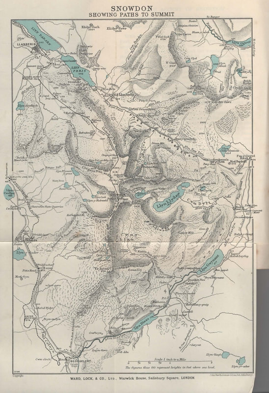
Snowdon Summit - A Bronze Age History or not?
There is no solid evidence that there was a Bronze Age burial cairn on the summit and some information I’ve read seems quite positive that there isn’t but RCAHMW, which I would take to be the most reliable seems to suggest that it’s quite probable, see below. Folk law suggests that it was the burial place of the giant Rhita. Lots of information can be found on the internet, one particular site being Sublimewales where it will tell you all about Rhita. It is also thought that Ordnance Survey built a cairn on the summit in 1827 before the huts. Here is the extract from RCAHMW.
| | NGR : SH60985437 Site Type : Bronze Age CAIRN Description : A presumable Bronze Age funerary cairn located on the summit of the highest mountain in Wales. The original cairn has been altered beyond recognition by generations of hill walkers, mountaineers and sightseers. A trig point marks the highest point. Early photographs of the Snowdon summit show a large flat topped cairn. It degrades periodically due to erosion by visitors and the elements, and is reconstructed from time to time. An OS trig point was erected on the summit cairn at some point. Sources : Gwynedd Archaeological Trust , 1998 , PRN 13943 Hollamby, K., A Desk-Based Archaeological Assessment of Snowdon Summit (2003) | |
The History of the Buildings on the Highest Point in Wales
My Assistant Leader on this trip, Heather Maling (ML) lived and worked on Snowdon for 4 years, running the café. Here is her account.
 | 1986 to 1989 The Local newspaper said, "Cop Quits for Wales’ Top Job". I was offered the job running the summit building by the previous manager who then became my boss. Four of us lived up on the Summit for the whole season- End of May til the beginning of October. Four travelled up and down by train every day. It was physically the most challenging job I ever did, working 7 days from 8am til (often) 8pm. The best times were in the evening when all the trains and people had gone, and we sat watching the sun set over the Irish Sea. |
Building Nos.1 & 2
The first shelter was built on the summit in 1820, selling refreshments and providing shelter for walkers. By 1847, there were several log cabins and two hotels on the summit. "The Roberts Hotel" which was run by John Roberts and the second "Cold Club" which was run by William Roberts (no relation). There was fierce competition between the two businesses. Apparently, both hotels were in poor condition and more often than not there were more visitors than beds.
Following legal negotiations in 1896, the “Snowdon Mountain Tramroad and Hotels" company took over the responsibility for the two hotels, and by 1898, work began on rebuilding of the hotel and adding a veranda. A small hut was also built for railway staff at the site of the existing cafe, but was not there long. A small station was opened in its place. The buildings were greatly affected by the inclement weather, and by 1930 all the buildings were in terrible condition. It was resolved that a multi-purpose building would be build in their place, to include a hotel, cafe and a train station. The old buildings were demolished over the hillside to make room for the new buildings. Source
Building No.3
The new building was designed by Sir Clough Williams-Ellis, the architect who designed Portmeirion, and the building was completed in 1935. The most prominent features were huge windows on the front and side of the building for visitors to enjoy the scenery. Unfortunately, the windows shattered in a storm six months later, and smaller windows were installed in their place. The cafe was closed during the Second World War and was used by the Ministry of Supply for experimental radio work, and later by the Air Force to develop radar. The Admiralty carried out intelligence work there for a while and finally it was occupied by the Army. Despite the improvements that were made in the 1950s and 1960s, the cafe deteriorated.
In 2004 it was decided to rebuild the cafe and build a new visitors' centre. Clough Williams-Ellis' structure was demolished in 2006 and once again the weather was a hindrance. Source
Building No.4
In 2009 the new café opened
Friday 12th June 2009 The Guardian wrote – ‘ A new cafe and visitor centre at the peak of Snowdon, replacing the 1930s concrete building once described by Prince Charles as the "highest slum in Wales", finally opens today after a tricky construction process repeatedly delayed by bad weather. Rhodri Morgan, the Welsh first minister, is to officially open the £8m building, which is made of granite and intended to blend in with the scenery on the 1,085m peak, the highest in Wales. Officially called Hafod Eryri, the structure by architect Ray Hole, which includes a viewing wall of glass at the front, had been due to open in spring last year but was held up by particularly poor weather conditions.’
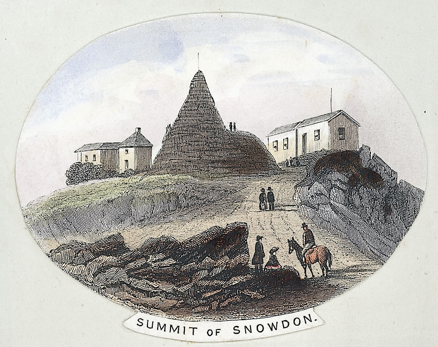
And lastly, a poem aptly titled Epilogue
EPILOGUE to Alun Mabon
Still the mighty mountains stand,
Round them still the tempests roar;
Still with dawn through all the land
Sing the shepherds as of yore.
Round the foot of hill and scar
Daisies still their buds unfold;
Changed the shepherds only are
On those mighty mountains old.
Passing with the passing years
Ancient customs change and flow;
Fraught with doom of joy or tears,
Generations come and go.
Out of tears’ and tempests’ reach
Alun Mabon sleeps secure;-
Still lives on the ancient speech,
Still the ancient songs endure.
J. Ceiriog Hughes (1832-87) Translated from Welsh by Sir. H. Idris Bell Source – A book of Wales 1953
NB. Mabon - God of Welsh mythology, Mabon. He is the Child of Light and the son of the Earth Mother Goddess, Modron and part of King Arthur’s war band.
NB. Mabon - God of Welsh mythology, Mabon. He is the Child of Light and the son of the Earth Mother Goddess, Modron and part of King Arthur’s war band.
Thank you for reading my blog. Until next time, bye for now.
Bryn Walking and Bryn Walking for Women are trading names for Menhinick Outdoors Limited
Bryn Walking and Bryn Walking for Women are trading names for Menhinick Outdoors Limited


I have a lot of favourite places in Wales; places that you can only get to on foot, places that aren’t that popular, off the beaten track. They probably don’t have the big wow factor for the average person but for me, I like something that ‘the crowds’ aren’t all gawping at - something that feels special and something that feels like treasure. I don’t keep these places secret, in fact usually when I come across what I think is treasure, on a recce for instance, I can’t wait to bring people to the same place to share my experience. One of those places is the Pumlumon massif.
Pumlumon Fawr has 5 peaks (Pumlumon means 5 peaks). The highest peak (2468ft/752m) is the highest in the Cambrian Mountains. Pumlumon isn’t as popular as Snowdon or Pen y Fan but that to me is its attraction. It is seriously under rated; you don’t have to queue for a drink when you get there (you take your own), you don’t have to wait your turn to do a selfie at the trig point and you don’t stand a chance of literally bumping into anyone. Because of this, this mass of rock will have looked the same for centuries, for thousands of years, since it grew into a mountain – for this reason I’m interested to see what old guides books have to say about Pumlumon, when people started to have time to venture out and appreciate our beautiful mountains. Below are a few extracts that I’ve found, and then I'll go on to tell you about my five experiences, when walking the five peaks of Pumlumon Fawr.
Pumlumon Fawr has 5 peaks (Pumlumon means 5 peaks). The highest peak (2468ft/752m) is the highest in the Cambrian Mountains. Pumlumon isn’t as popular as Snowdon or Pen y Fan but that to me is its attraction. It is seriously under rated; you don’t have to queue for a drink when you get there (you take your own), you don’t have to wait your turn to do a selfie at the trig point and you don’t stand a chance of literally bumping into anyone. Because of this, this mass of rock will have looked the same for centuries, for thousands of years, since it grew into a mountain – for this reason I’m interested to see what old guides books have to say about Pumlumon, when people started to have time to venture out and appreciate our beautiful mountains. Below are a few extracts that I’ve found, and then I'll go on to tell you about my five experiences, when walking the five peaks of Pumlumon Fawr.
Exploring Wales – William Condry 1970
‘Cardiganshire has one true mountain-Pumlumon (pronounce it ‘Pimlimmon’) which, if you like, is a stray bit of Snowdonia for it is an outcrop of typically North Wales Ordovician rock poking through a blanket of Silurian rocks that cover much of central Wales…. And if you want to see both North and South Wales from one peak, then Pumlumon is your mountain.’
The Wye Valley – Ward Lock’s early 1900s
‘ This mighty mass, which rises to the height of 2,469 feet above sea level, impresses by extent rather than by altitude. It is one of the most watery and boggy mountains in Wales, and, from the want of well-defined paths, one of the most difficult to ascend….. Plynlimmon, indeed, may be described as a “watery mountain,” from the many streams which proceed from its sides.’
Wales It’s history and romance - WT Palmer 1932
‘The track from Eisteddfa Gurig farm is easier to follow since the advent of a caterpillar tractor which in the holiday months, takes visitors to the summit in easy modern style. The trip takes about one hour and the tractor has made six journeys in one day.’
Evidently a much loved, documented mountain and thankfully the only caterpillars we might see up there today are the tiger moth and emperor moth caterpillars.
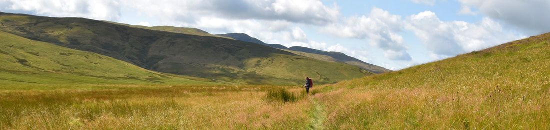
My Five Experiences
My five experience should go some way to emphasise why this magnificent mountain is one of my most treasured places in Wales. My route takes me from Maesnant in the county of Ceredigion, up to the summit, across the Pumlumon Fawr ridge and down to Glaslyn in the county of Powys. Then a night in a glamping pod at Wigwam Holidays Hafren before a return journey back to Nant y Moch following the Afon Hengwm.
My five experience should go some way to emphasise why this magnificent mountain is one of my most treasured places in Wales. My route takes me from Maesnant in the county of Ceredigion, up to the summit, across the Pumlumon Fawr ridge and down to Glaslyn in the county of Powys. Then a night in a glamping pod at Wigwam Holidays Hafren before a return journey back to Nant y Moch following the Afon Hengwm.
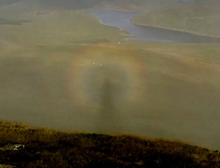
1. An Optical effect I’ll never forget
An early start, in mid August, from Maesnant – I wanted to reach the summit before the sunrise and have my breakfast there too. It had been a very stormy last few days but today looked promising and so was the forecast. The start was fairly cool with quite a breeze pushing the clouds along quickly as I made my way up the mountain, following a small stream. I reached the summit at about 0530 and set up my stove ready for breakfast.
The sunrise was spectacular as the clouds were moving fast. The orangey glow through the swirling clouds was very colourful – I stood and watched the ever-changing scene. Then at about 0745 something amazing happened. I was looking out towards Nant y Moch which was making appearances through the mist. The sun was behind me and still very low. I was actually making a shadow on the clouds right in front of me and then I noticed my shadow was encircled by a rainbow – A BROCKEN SPECTRE. Absolutely amazing, I was in the right place at the right time and something I’ll never forget.
| | | |
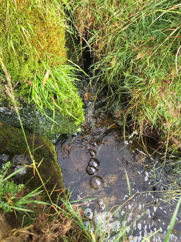
2. Three Sisters and George Borrow
The story goes that Father Pumlumon had three daughters. He promised them as much land (for a leaving home gift) as they could cover in one day. Hafren, an early bird, covered a huge distance before reaching the sea. Wye, had a reasonable lie in and covered a shorter distance before reaching the sea and Rheidol completely overslept and had to rush straight to the nearest coast. So, the Severn (aka Hafren or Sabrina) is the longest river in Britain, all 127 miles of meandering water.
I would be able to explore both the Source of the Wye and the Source of the Severn on this route that would take me across Pumlumon Arwysli and is quite straight forward, following the County Boundary.
George Borrow was an English travel writer and based his books on his own experiences. He wrote Wild Wales in 1862, I’ve included a few extracts below- some great dialogue about the river sources.
The Wye is a little harder to find than the Severn because it doesn’t have a massive vertical oak post marking the spot as does the source of the Severn, but with a bit of map interpretation the Wye can be found gurgling out of the ground at the top of a re-entrant that looks down towards the Hafren Forest.
George Borrow - "And now, I suppose, sir, that our work is done, and we may go back to where we came from," said my guide, as I stood on the grassy hill after drinking copiously of the fountain of the Wye.”
I stopped for a quick snack by the Cairns on Pen Pumlumon Arwystli (741m) before descending down to the Source of the Severn at 620m. The Source of the Severn is more remote and flows from a large area of a peaty bog. The great weathered mounds of peat are truly stunning and in my opinion beautiful. It’s great that the route from Hafren Forest is well maintained making this significant place very accessible.
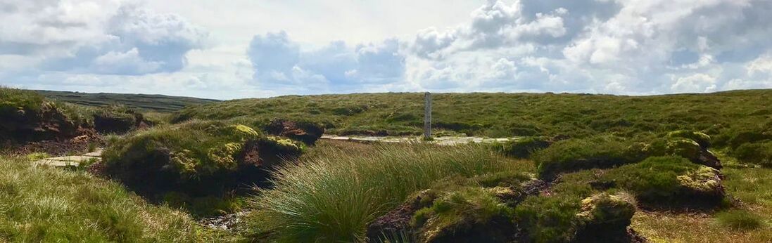
George Borrow - “ I have considered the matter deeply, and have come to the conclusion that here, and here only, is the true source. Therefore stoop down and drink, in full confidence that you are taking possession of the Holy Severn.…...Then taking off my hat, I lifted up my voice and sang:-
"From high Plynlimmon's shaggy side
Three streams in three directions glide;
To thousands at their mouths who tarry
Honey, gold and mead they carry.
Flow also from Plynlimmon high
Three streams of generosity;
The first, a noble stream indeed,
Like rills of Mona runs with mead;
The second bears from vineyards thick
Wine to the feeble and the sick;
The third, till time shall be no more,
Mingled with gold shall silver pour."
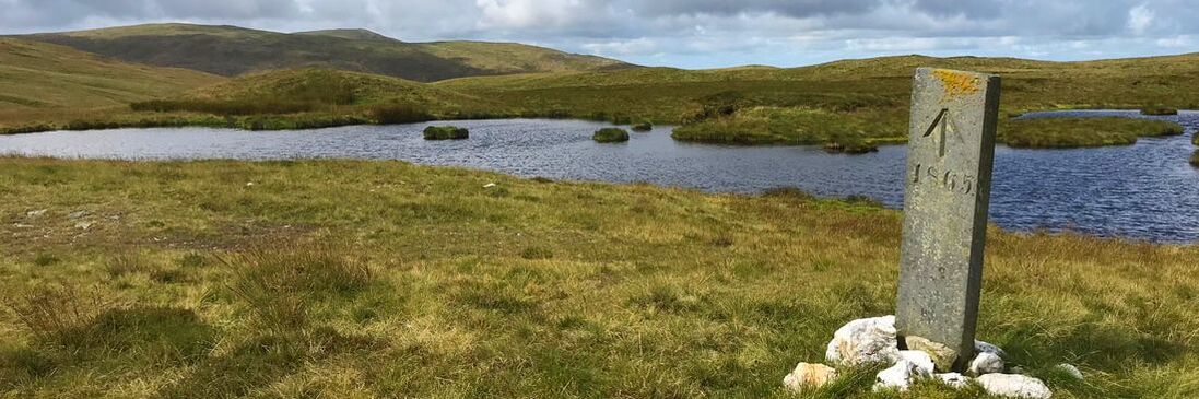
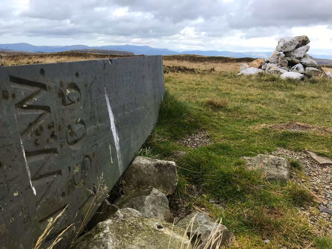
3. The Steadfast Boundary Stones
Between walking from the summit and dropping down towards Bugeilyn I passed six boundary stones. They are made from slate and were put in place in 1865. They defined the boundary between Crown lands and the Watkin Williams Wynn estate. "WWW" is inscribed on the east facing side and an upward pointing arrow and 1865 on the west facing side. I think all the stones are registered with Coflein.
I have two favourites on the way; the first one is nearest to the source of the Severn and is actually lying horizontal next to a white stone cairn. On a clear day the views from here are amazing- you can see the sea.
My next favourite is near to a Bronze Age cairn which has unfortunately been hollowed, but still round and recognisable as a cairn. This Cairn has a name, Carnfachbugeilyn and is one of my favourite spots, I love the view down to the hills on the other side of Hengwn valley. It is said to be one of the great view of Wales and the best view of the two lakes Bugeilyn, Llyn Cwm-byr, on a good day you can absorb fantastic views of Cadair Idris and Aran Fawddwy too.
The boundary stone that I would say was like finding treasure is where the County Boundary goes NW towards a small re-entrant. There is the most beautiful little waterfall (not marked on the map) and just above here, standing only about 300mm above the ground is a boundary stone. The ground is very boggy here so I can only assume that it has sunk over the years and now hides in the long grass.
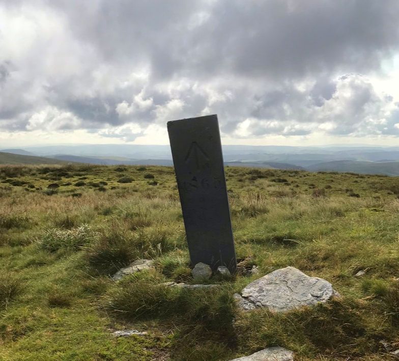 |  | 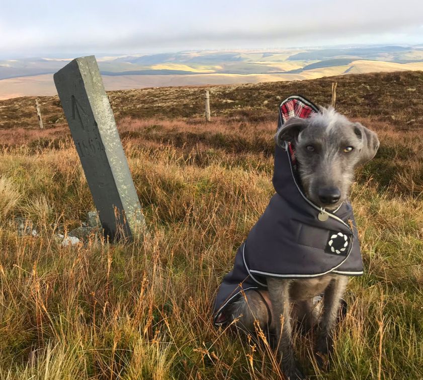 |
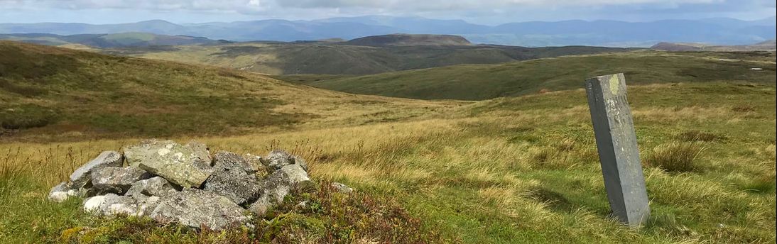
4. The Hidden Lakes
Coming down of the Pumlumon Fawr Ridge and then crossing the top of the Hengwm valley, I walked towards Glaslyn on a track. The two magnificent lakes Bugeilyn and Llyn Cwm-byr become very prominent. Approached from the other direction the lakes don’t come into view until you are nearly at the site of Plas Bugeilyn. When I think of all the times I’ve walked up here to the lakes, I’ve only seen a handful of people; one lady who was an artist and liked the scenery and tranquility, a fisherman, and a man and his son from Manchester researching their family history who once lived in Dylife.
Coming down of the Pumlumon Fawr Ridge and then crossing the top of the Hengwm valley, I walked towards Glaslyn on a track. The two magnificent lakes Bugeilyn and Llyn Cwm-byr become very prominent. Approached from the other direction the lakes don’t come into view until you are nearly at the site of Plas Bugeilyn. When I think of all the times I’ve walked up here to the lakes, I’ve only seen a handful of people; one lady who was an artist and liked the scenery and tranquility, a fisherman, and a man and his son from Manchester researching their family history who once lived in Dylife.
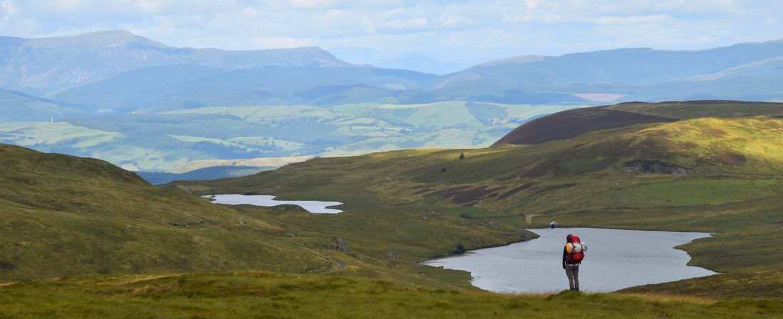
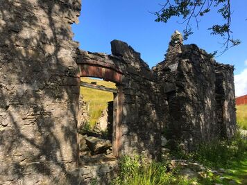
I’ve written a lot about Bugeilyn farm and Plas Bugeilyn in my last blog but I must mention that a couple of weeks ago when walking my dog in Dolerw Park, Newtown, I was chatting to a gentleman, because our dogs were playing together, and I happened to mention that I did a lot of walking around Staylittle. He then explained that his Grandma was born in Bugeilyn Farmhouse. Amazing! Every time I’ve walked passed that poor old ruin I’ve enjoyed imagining the hustle and bustle that would have existed there on the farm; the noise of the animals, cups of tea and chatter for passing fishermen or grouse shooters, the delicious smells of the meals cooked under that massive oak beam that is still visible in the remains of the fireplace and perhaps the cries of a new baby!
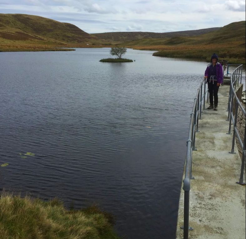
The best time to visit these lakes is in August when the skies are blue. The lakes are like blue mill ponds and decorated with waterlilies. Very pretty, very quiet and completely out of this world. Standing on the bridge crossing the water channel that joins the two lakes is a great place to quietly watch the wildlife. Generally, the birds are disturbed on my approach but if I wait long enough and stay still it all comes back to life. Llyn Cwm-byr has a small damn at the far end and worth a visit – accessible along the track from the tumble down farmhouse.
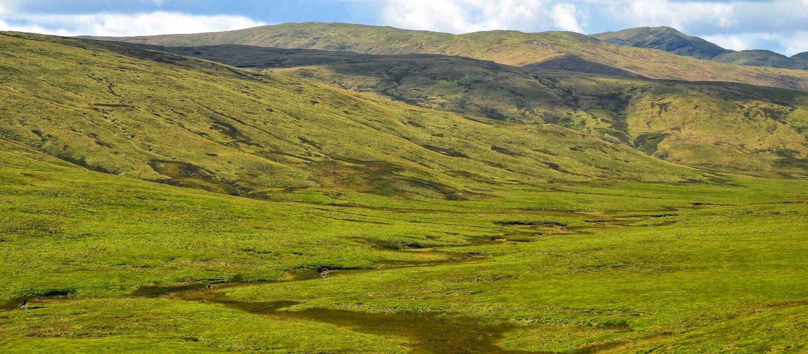
5. Hengwm - remote and deserted, but it hasn’t always been
After spending a very comfortable night at Wigwam Holidays Hafren, Staylittle (highly recommended) and having a delicious full Welsh breakfast at The Star Inn, Dylife, I walked from Foel Fadian all the way down the Hengwm Valley back to Nant y Moch. Through past centuries this valley has seen a lot of different kinds of activity, all left now to our imagination. Today it is pretty much deserted but beautifully remote and spectacular.
I was lucky to have fantastic weather and had clear views of Pumlumon Fawr to my left all the way. The river starts at the huge peat bog near Bugeilyn. Apparently after heavy rain, small but perfect flint tools have been found in this area, this would imply that it might have been a favourite hunting area in times gone by.
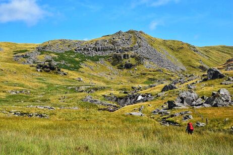
Looking in the direction of Pumlumon Fawr from here the valley looks remote and spectacular, thick long grass covers the base and somewhere in there, the river widens and gathers speed in a tight meander down towards Nant y Moch. The county boundary follows the meander exactly. Following the bridleway south west, the Afon Hengwm on my left, several small streams needed to be crossed, then at a small ruin the bridleway crosses the stream at the foot of Craig yr Eglwys (rocky church) named I think because of the spire-like rocks forming the hillside. Opposite Craig yr Eglwys (the other side of Cwm Gwerin, the Afon Gwerin being a tributary to Afon Hengwm) the rocks are called Graig y Lluest (rocky rapture). It makes me wonder when were they named and by whom? Perhaps early Christians spent enough time here to give names to places of significance or maybe named by the residents of the now ruins which are no longer even named on the map. The two properties are named as Lluest Newydd and Hengwm-annedd according to the OS map for this area 1898, so too are the rocky hillsides named. It’s a wonderful place and the waterfall here is beautiful – I wanted to get closer to it and if the river had been negotiable where the bridleway crossed (old OS map shows a footbridge) I could have got nearer but the river crossing was not even a consideration, and this was in the summer.
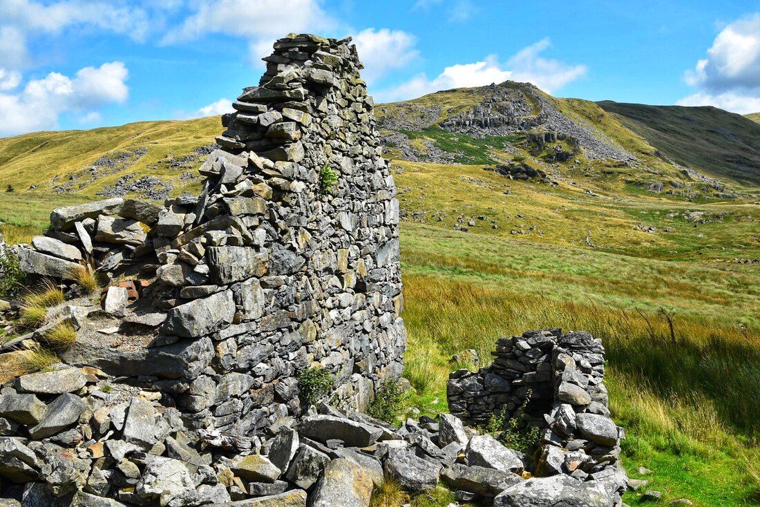 | 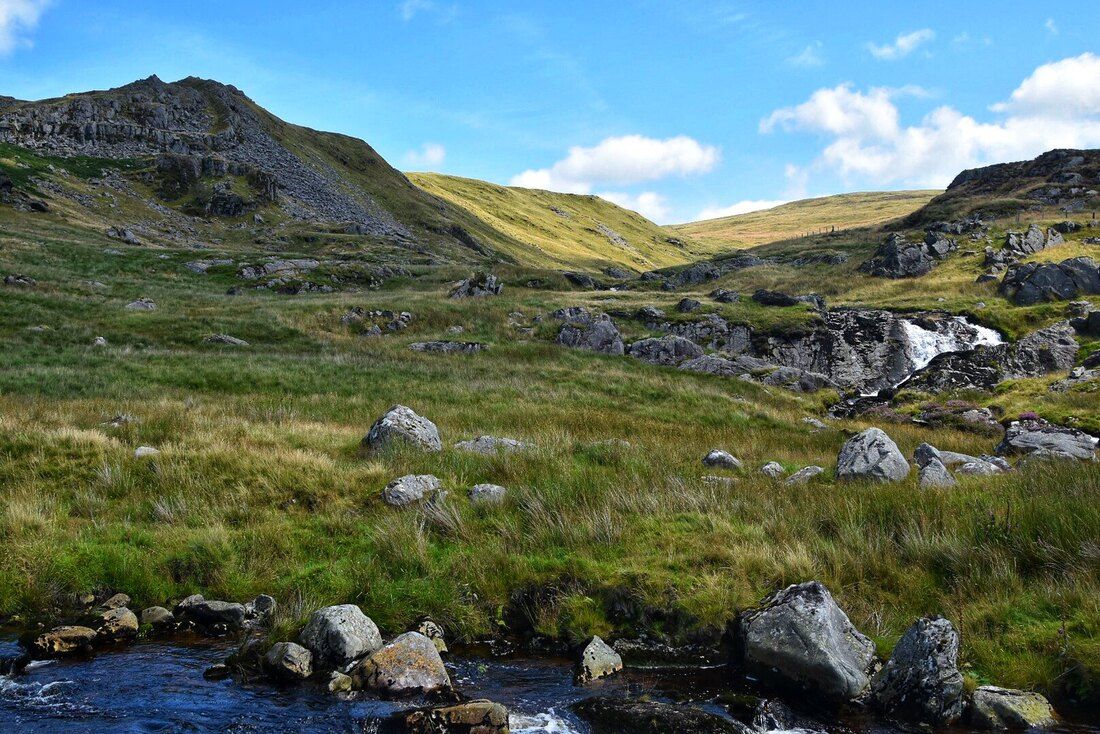 |
So, I stuck to the same side of the river - open access land in any case and there seemed to be a track to follow. Up on my right at this point is Carn Hyddgen where (or in Hyddgen Valley) a mighty battle was fought and won by Owain Glyndŵr in the summer of 1401 killing 200 English men, so I’m sure it wouldn’t have seemed remote, beautiful and peaceful on the day of that gruesome battle. The river is easily crossed by a footbridge at the end of the valley and then a track can be followed back to Nant y Moch.
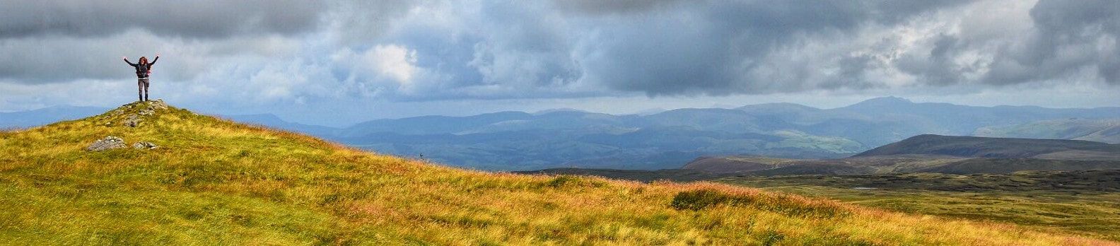
It is nice to think that history can never be changed; whatever happened on Pumlumon, whoever spent time there since its beginning. Only small clues have been left for us in some form, either by written documents or perhaps a lost flint tool - it all adds to the magical surroundings and experience. We can control the future, however, so let’s hope our great mass of rock, Pumlumon Fawr, will remain the same for centuries to come so that all generations who follow us can enjoy it just as we do.
Lastly here is a wonderful poem by T Hughes-Jones 1895-1966. He went to school in Tregaron and won the Literature Medal for his story, "Sgweier Hafila" at the 'National Eisteddfod' in 1940.
There aren’t many mountains that are worthy of a poem but Pumlumon Fawr has witnessed more than we can ever imagine leaving us with a wealth of history and intrigue - if only the rocks could talk.
Tair Afon
Fe gysgai tair morwynig
Ar ben Pumlumon fawr,
Sef Hafren, Gwy a Rheidol
Yn disgwyl toriad gwawr.
Meddylient godi’n fore
A theithio’n rhydd a llon,
A chyrraedd cyn yr hwyrnos
Eu cartre ‘nghôl y don.
Dihunodd Gwy a Hafren
O’u cwsg yn fore iawn,
A daethant ‘rôl hir diethio
I’r môryn hwyr brynhawn.
Ond cysgodd Rheidol ieuanc
Heb bryder yn ei bron,
Ac wedi hwyr ddihuno
Rhuthrodd yn syth i’r don.
A dyna pam mae Hafren
A Gwy’n ymdroelli’n faith,
A Rheidol fach yn rhedeg
Yn syth i ben ei thaith.
 | |
Thank you to Dyfadd Wyn Morgan for the use of some of his photographs in this blog and for his company walking Pumlumon Fawr/ Hengwm.
References used for this blog
Wild Wales George Borrow
Exploring Wales William Condry
Kitbag Travel book – Wales
The Wye Valley – Ward Lock’s
Coflein and RCAHMW
References used for this blog
Wild Wales George Borrow
Exploring Wales William Condry
Kitbag Travel book – Wales
The Wye Valley – Ward Lock’s
Coflein and RCAHMW
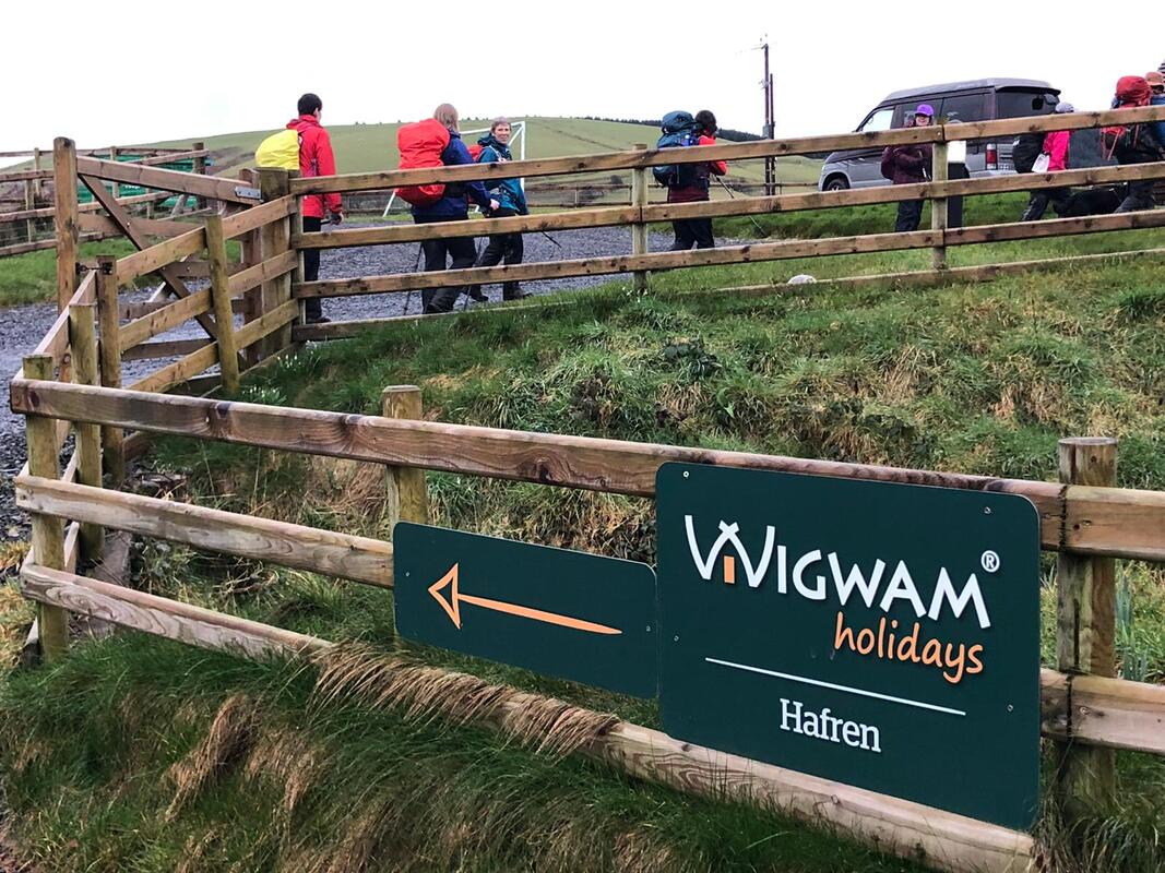
Introduction
Wigwam Holidays Hafren is situated in the most northern part of the Cambrian Mountains, near Staylittle in Powys, ideally situated for walks and right on the doorstep of lots of lead mining history. Nia and Endaf Meddins are the owners of the 6 pods and they keep the pods and the site spotlessly clean. They are cosy, warm and well equipped.
I’ve lost count of how many walking recces I have done in the area, trying out different routes both on PROW and on open access land. It’s a beautiful area, remote and unknown to many; varied terrains, spectacular views and lots of history. There are some areas that I have discovered on my walks that I really love and so I keep going back; Hengwm Valley, the two lakes at Bugeilyn and of course Clywedog Valley and Castle Rock. I have still more recces to do, more to see, and more to learn about.
I was introduced to Nia Meddins last summer by Dafydd Wyn Morgan, Project Manager for Mynyddoedd Cambrian Mountains. Last summer we did a recce for a possible event using Nia’s pods. I was struck at how remote, beautiful and unvisited the area was and have been getting to know it ever since, looking for suitable walks for Nia’s guests and for bigger walking events. After discussing with Alan Ward of Bigfoot Services (who has provided all my training), he and I thought it would be an ideal walking event for a walking group from the Brecon Beacons.
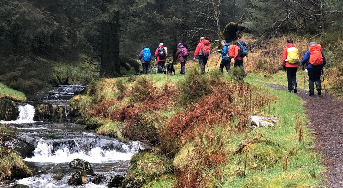
Before I continue, I have to mention Covid-19 aka corona virus. On the day that the event started, 18th March 2020, there was only guidance for avoiding contacting and advisories for people in high risk categories. The Star Inn was still open for drinks and meals – the only guidance was to avoid restaurants. Some of the participants for my event had traveled far to get to the pods and the pub was more than happy for us to eat there as it was very likely that we would be the only ones there given its remote location. Nia had been advised to shut down the hot tubs which suited us as it was too cold in any case. So, it did cause me some worry and deliberation and I feel it only went ahead by the skin of its teeth. By the evening of the last day, 20th March, the pub was shut after Government restrictions had been enforced which also included, leaving your home only when absolutely necessary, only going out once a day for exercise, walking 2 metres apart and only with family.
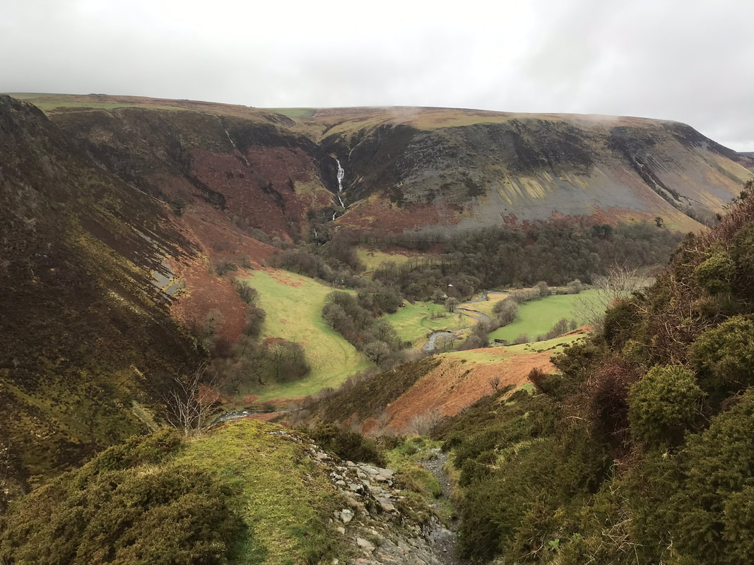
Day 1 Pennant Valley - 8km
After everyone had arrived and settled in, I gave the group a quick briefing in the rain before setting out directly from the pods. Walking up the lane towards Nia’s farm and up onto the bridle way, looking out for a footpath heading more-or-less north towards the mountain road and the top of Pennant Valley. Crossing the road with care, as this stretch of road seems to be a bit of a racetrack, we then took the bridleway that climbed slightly to give us views of Ffrwd Fawr (great stream), where the Afon Twymyn falls 50 metres. Thankfully at this time of year we had a better view than usual - with recent heavy rain falls and no leaves on the trees to block the view. Looking over towards the steep sided valley called Craig y Maes (field of rocks) is spectacular. The area of Ffrwd Fawr and Craig y Maes is an SSSI but unfortunately not open access.
The path down to the base of the valley starts off extremely steep and rocky, so I briefed the group before we began our descent. There was no rush and care was needed. Looking across the valley we could see the Nant Ddeiliog (leafy stream) waterfall, also spectacular. After crossing the Afon Twymyn (river fever) we weaved our way through, what seemed like a deserted commune. I found it quite spooky but others thought it was quite intriguing. The path from here is called Llwybr y Ceirw (the path of the deer) - it deserves having such a name because it is so steep. The path zigzags, covering a walking distance of approx 0.7km (from where you enter the wooded area to the stile at the top), you gain 200m in height. Again, there was no rush so we all took it very slowly. From the stile at the top there are fantastic views north, down the beautiful Pennant Valley.
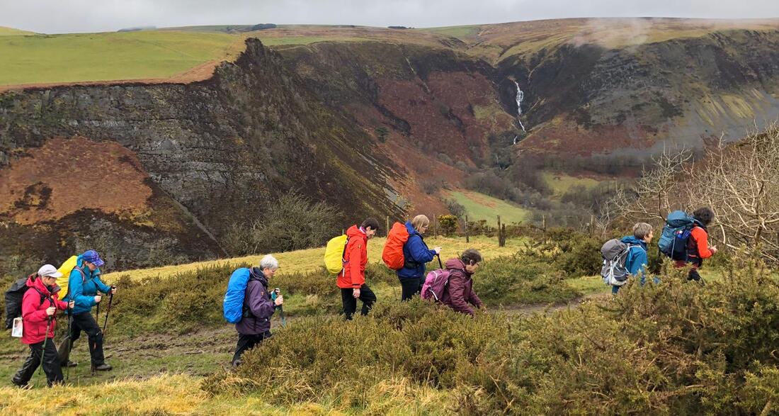
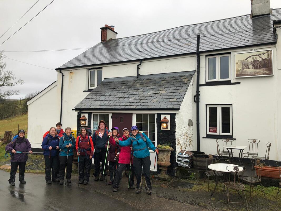
Onwards then to the shallow ford across Nant Bryn-moel (bare hill stream), a short stream that joins the Twymyn only metres before the 50m fall. One member of the group didn’t really have suitable footwear for crossing the stream, although it wasn’t very deep, possibly 200mm, so was given a piggy-back across.
We were all ready for a drink at The Star Inn which was on route back. The proprietor had opened specially for us and had the fire lit – very welcoming. A great choice of drinks to suit everyone and we all put our food order in for dinner later. The return to the pods was only 2.5k from here, taking a bridle way opposite the pub and intersecting with Glyndŵr’s Way on Dylife Hill. This used to be the old mountain road before the existing road was built that goes from the Star Inn to join the Llanbrynmair road. We followed this track, going southeasterly until reaching Nia’s farmyard and then on to the lane back to our cosy pods.
A great walk to warm us up for the big walk the next day – fantastic company, everyone being keen walkers who didn’t mind a bit of drizzle.
After a bit of relaxation and time to change we went in my car, a Mazda Bongo, to The Star Inn. It was a great evening and the food was lovely, service great. The Star Inn was once one of 3 pubs in Dylife in the 1800s.
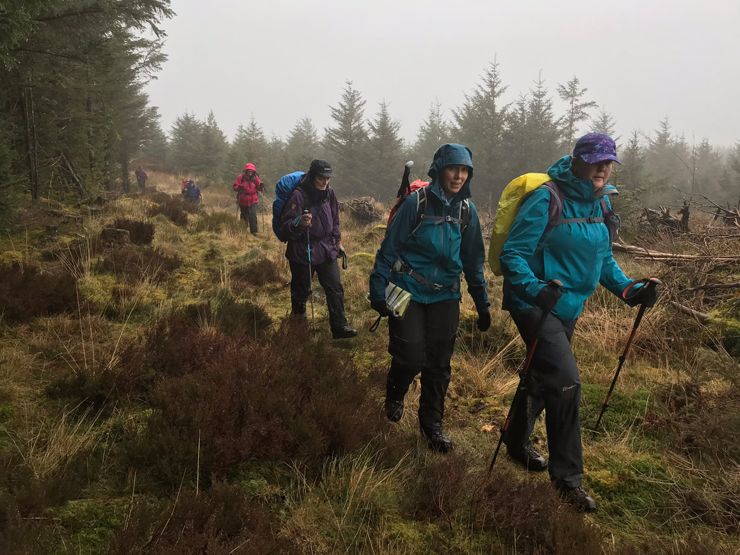
Day 2 Source of the Severn – 17km
We left a car at The Star Inn the night before as today’s walk was a linear one. Setting off at a round 9am we drove in two cars to Cwmbiga. A bit of a damp start, we were expecting the drizzle to turn more snowy as we gained height. The route up into the Hafren Forest I chose because it is a less popular public footpath and the first section is amazing – like something out of The Lord of The Rings; the damp ground and the gap in the trees has allowed enough light in for all kinds of moss to flourish and with the mist as well it looked magical.
Eventually at a height of 402m we converged with The Severn Way at Blaen Hafren Falls. This is always a very civilized spot for a break given that there is a picnic bench, views and is right next to the falls. So, from here it’s a very well-maintained path right up to the source of the River Severn. The path follows the young River Severn as it cascades down – very spectacular and pretty. On reaching the open access land there is a stark contrast in terrain, and it makes you wonder what kind of terrain they decimated to plant the forest in 1937. The path continuing upwards is paved and again well-maintained and meanders next to the ever-decreasing width of the River Severn up to the source at a height of 610m. The site is in the middle of boggy area of peat. We could see snow on higher ground and were still getting the odd flurry. Just beyond here, going northwesterly there is a boundary stone, spot height (618m) and cairn. From here there are fantastic views of which there are none at the source of the Severn.
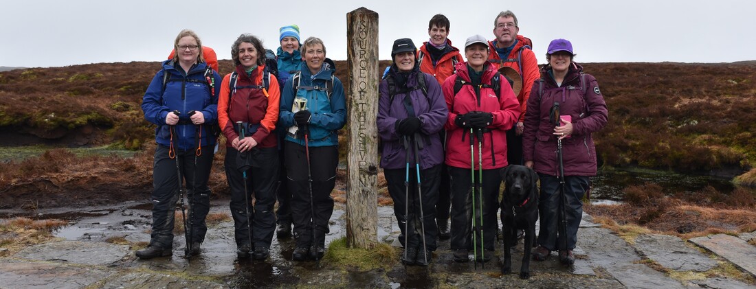
Following the boundary and stopping at Carnfachbugeilyn a Bronze age site, at a spot height of 622m (the lake of the shepherd's small cairn). It would be mostly downhill from here to our lunch stop, planned at the small water fall just below the next isolated boundary stone. Following the county boundary on a bearing would mean crossing very rough terrain so I chose to follow the boundary fence a bit further before cutting across northwesterly to the waterfall. It was still a matter of picking your way through and following a vague path. The waterfall, although small, I think is quite spectacular as there is a sudden rocky fall of about 3 metres at the top of the re-entrant and the water seems to appear out of the ground and splashes down noisily, over bright green moss to a small pool before flowing down into the Hengwm valley. We all enjoyed our lunch stop here.
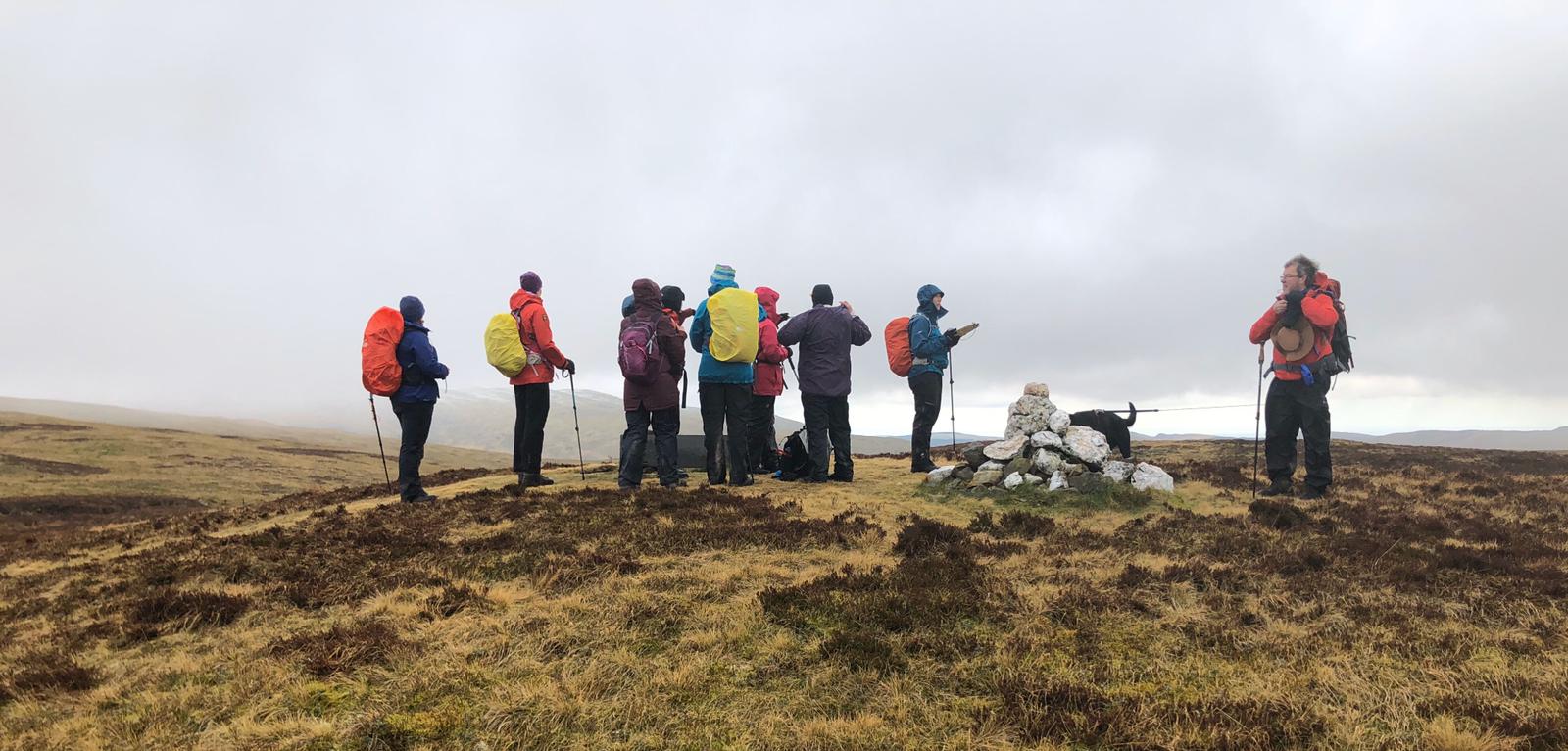
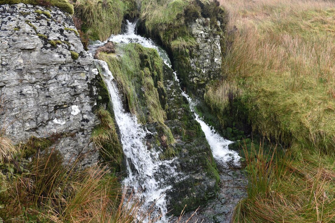
A path is quite clear from here, albeit only a sheep track, but this took us to the best route across the water shed area at the top of the valley. I had recced the crossing a number of times, looking for either animal tracks across or quad tracks which are easier to spot when looking down from higher ground so I had recced it in both directions. I asked the group to go in single file across and to follow my path exactly as I didn’t want any mishaps in the boggy ground. My chosen route is quite safe and not too boggy. When we get near the manmade, underground water channel on the other side of the valley base it gets a bit wet but is ok if you keep going. The peat bog here, at the water shed, I think is amazing; a huge area with great mounds of peat that are actual islands in a mass of water.
The manmade outlet from Bugeilyn is marked on the map as a very straight blue line and is accessible to go and have a look at. The water then travels underground down the Hengwm valley, marked by wooden posts and large metal grates and the ground above is always mown. I’m not sure how far this water diversion goes, maybe just past the peat bog. When I’ve been here on my own the echoey sound of the water rushing underground is quite spooky.
Looking down Hengwm from here it is spectacular; it’s so remote, quiet and like nowhere else. In the summer the base of the valley is covered in bright green long grass, very beautiful.
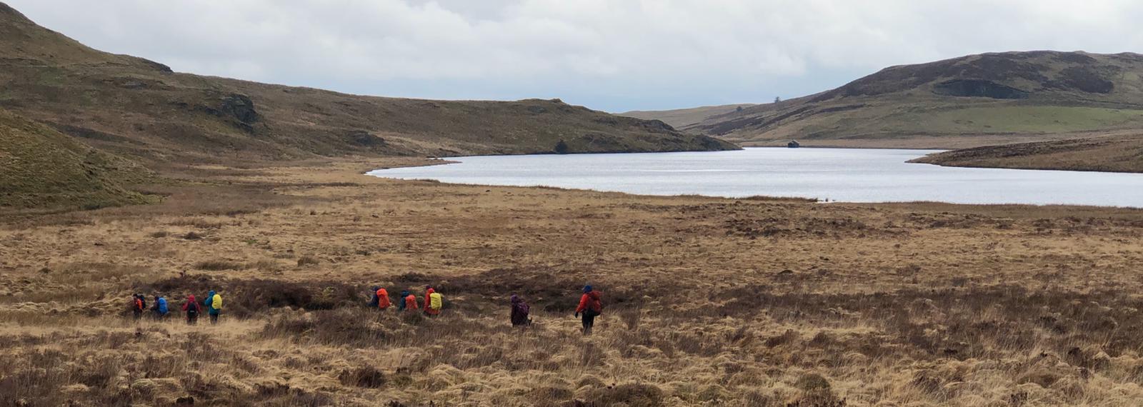
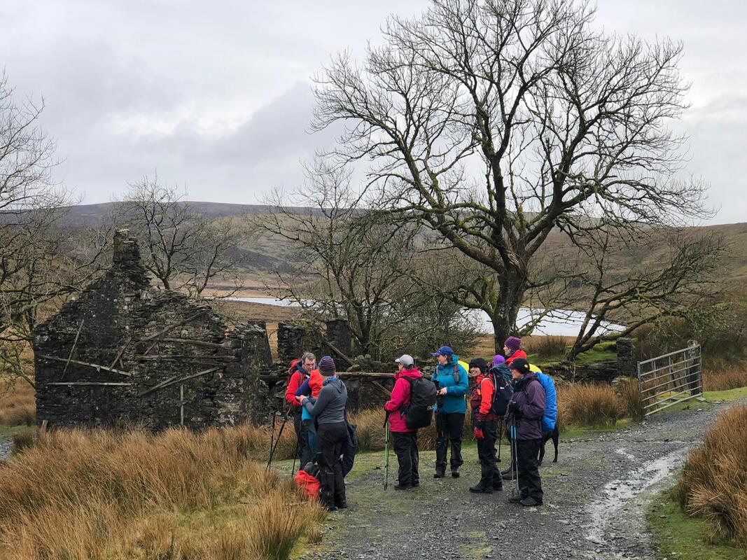
Up onto the track/bridleway from here, taking us over the bridge crossing the water channel that links Bugeilyn to Llyn Cwm-byr. Llyn Cwm-byr is damned at the other end. My conclusion of this management of water is that they (the water authorities) want a certain amount of the water from the two lakes to be flowing into Nant y Moch Reservoir instead of naturally flowing down into Rhaeadr Wen (white waterfall) and eventually to the Afon Dyfi. The channel of water looks particularly nice in the summer when there is a lovely spread of lily pads. Bugeilyn Farmhouse is more derelict every time I walk past which is such a pity. The east facing gable end is really bulging and looks about to fall. The modern farm building is on the site of Plas Bugeilyn - a big hunting lodge, built by a man called Sir Watkin in 1911 using material from the demolition of the dressing site in Dylife, including the mine manager’s house called the Plas. The demolitions dashed the villagers hopes of the mines ever getting reinstated. The big hunting lodge at Bugeilyn was demolished in 1984 after it had been abandoned for years, so wasn’t even there very long.
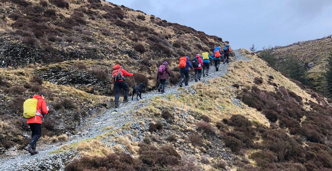
Along this part of the track from Hengwm to Glaslyn there are clear views of Cadair Idris, today we could nearly see the top - at least we could see some of it. As the track rises on the way to Glasyn we didn't forget to turn round to appreciate the view behind us too - we could see the summit of Pumlumon. Glaslyn didn’t look particularly blue but still fabulous with Foel Fadian clearly in view behind it. From Glaslyn we picked up Glyndŵr's Way, taking us firstly to the source of Nant Ddu where a reservoir was once made to feed firstly Cyfartha and then Dyfngwm Mine further down the Clywedog Valley. The damn is huge, still visual and marked on the OS map but the reservoir area has now returned back to a marshy area. A few metres downstream are the remains of where the water wheel was at Cyfartha; an amazing little ecosystem of water and ferns all year long between two stone walls about 1 metre apart. The Nant Ddu (black stream) flows on downstream from here for about 0.5km before it converges with Nant Goch (red stream), at the foot bridge, both streams then forming Afon Clywedog, meaning noisy river.
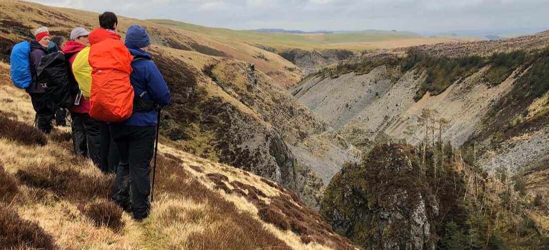
We took the lower footpath instead of continuing on Glyndŵr’s Way so we could get the best views of the mining valley and to be right opposite Castle Rock. Castle Rock is significant for a number of reasons but isn’t named on the map. It can be interpreted by the shape, contours and course of the river. There is evidence that mining took place here in Romans times and it was from the top of Castle Rock where Sion the Blacksmith was brought down and arrested for the murder of his wife and children in 1725. He had wanted to throw himself off into the deep pool below (Llyn Sion y Go) - to be honest he would have suffered less if he’d managed to jump off in time to escape his capture and trial. Castle Rock was also was said to be ‘The finest natural exposure of a lode in the country’ – Mr. O.T. Jones, Professor of Geology and Mineralogy, Victoria University Manchester 1922. A lode is mineralised ground in the form of nearly vertical veins containing ore (lead in this case), mixed with material of no value such as quartz and other rock.
Just up the steep bank from here is a square boundary marked on the map. It is a very visible feature on the ground but with no name on the map or any reference in the Dylife Guidebook. Quite interesting though. From here, to meet back up with Glyndŵr’s Way we passed ‘open mine shaft territory’ so great care was taken. Some of the shafts are open and not fenced, some are filled but sunken. Joining up with the old mountain road, we then took a right on to a bridle way to bring us to where the huge Red Wheel was situated, sometimes called Martha Wheel or Rhod Goch. It was 63ft diameter and the largest of its kind in Wales. The footings of the building here still remain and so does a rusty old kibble. In this abandoned area between here and The Star Inn was the dressing area for the mines, the old post office, a chapel and the Manager’s House called The Plas, which is the property that was used to build Plas Bugielyn. The footings of The Plas are marked on the map so must be visible on the ground. To our right along this small valley, shafts can be seen and also Llechwedd Ddu Engine Shaft.
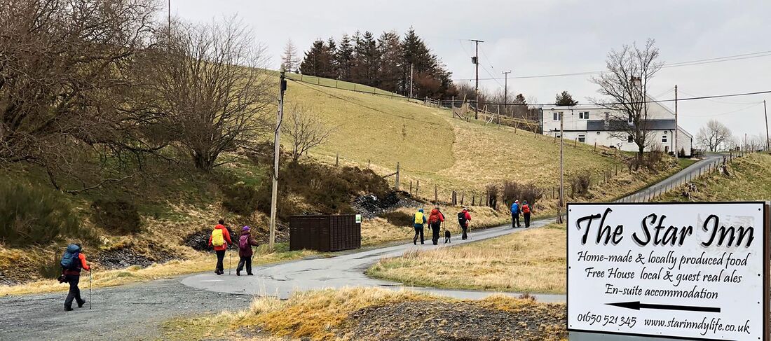
Crossing the road the graveyard and the footings come into sight of St.David’s Church. The church was demolished in 1962 and there had also been a school next to it. All the gravestones remain and it is worth a look, on another occasion, but we were on the home straight to The Star Inn - we received a very warm and friendly welcome on our arrival! We put our orders in for our dinner and we returned later to enjoy another lovely meal, drinks and a great evening.
I would like to thank everyone who took part on this event (hardy walkers!), Nia and Endaf Meddins for their fantastic pod accommodation and Alan Ward for his support and technical advice with route planning and risk management.
Historic references are taken from Dylife written by Michael Brown.
All translations from Welsh to English are literal.
Ras I'r Mor -Race to the Sea – what an exciting title for an event. I knew I wanted to take part the moment I heard about it. And who better to share the experience with than my sister Katie. I made a quick call to her and within the next few hours we had signed up. Of course, for us, it’s time to spend together. We don’t live near each other so this would give us 31miles of walking, to catch up.
The route, designed and organised by Cambrian Mountain Events, would take us over part of The Cambrian Mountains by Llangurig and along the River Ystwyth to the coast at Aberystwyth (finishing at the new bandstand). As their literature said - it would be breath-taking, scenic and challenging!
I picked my sister up from Newtown station in the afternoon the day before the race- how exciting, coming all the way up from the southeast of England to race to the Welsh coast with me. We have done the Rotary Cross Wales together 5 times but this was something new, something quite different. Couldn’t wait to get the maps out together and go over the route one more time. Couldn’t wait to clear the kitchen table and lay out all our gear and equipment, compare what we had between us and make the final tweaks. Head torch – check, blanket – check, whistle – check and so on. And then of course prepare our all-important egg sandwiches. Katie did these (with eggs from my chickens – the very best) while I cooked a huge chicken and mushroom pie to be devoured for tea. I had made flapjacks the night before and bought some delicious Bara Brith - all essentials for the race ahead.
It is not unreasonable or particularly uncivilized to get up at 5am so why lie restless all night? Why not just relax and get a beneficial night sleep? Because I am taking part in Race to the Sea! That’s why. Even so, what was there to worry about? Fitness level, gear, food, the weather – actually nothing major but enough to stop me having the sleep that would have been sensible, but that’s just me.
My husband James was kindly taking us to Llangurig – so an early start for him too. Lucky him, at least he would have had slept. No, very unlucky him, not a chance lying next to restless me. Anyway, arrived at Llangurig 6.10am. The village hall was a bit cramped but we squeezed our way through to get a bit of toast and a cup of tea, checked in and received a wristband. My number 930, Katie’s 954. A number is just a number but strange that a number can become so significant, so personal by the end of a day like this one; it is your number and only yours, it means 'you', and you say it as if it's your name at the check points and look for it on the list of timings later, that number will mean so much by the end of the race.
We crossed over the road to the start point where everyone had gathered, runner and walkers. Dark and cold, really cold – frosty. We didn’t start right on the dot of 6.30am but not long after. I had walked the very first bit, the Wye Valley, before so it seemed familiar even in the dark. Thank goodness for head torches, negotiating boggy patches in the fields until we came to a lane that would take us up high on to Carnbwlchcloddiau.
The tarmac road was so, so slippery – we were trying our best to walk in the narrow gritty bit on the very edge of the lane where it wasn’t icy or at least where we might have more grip. We managed to stay upright but apparently some poor runners slipped over. As it started to get light we could see the top of Pumlumon Fawr covered in snow. Pumlumon Fawr is the highest peak in the Cambrian Mountains at 2468ft/752m. I had texted Katie during the week to say that we might get snow but not really believing it. We climbed higher and higher - it got more and more slippery. The forestry had been cut near to the track and the surface of the stumps were covered in snow, they looked like white discs dotted about either side of the road, quite odd.
Always looking back occasionally (one of our mottos) to take in views behind as well as in front, the sun was on the rise and everything was taking on a beautiful orange glow. The view east, back towards the Wye Valley was fabulous and the view ahead was spectacularly remote. It was just fantastic. We felt so privileged, invigorated – buzzing. Just after the first checkpoint it actually started to snow, we could see the cloud coming in and down it came. It just couldn’t get any better. An overwhelming feeling of happiness and appreciation and wanting to savour the moment but time moves on and we had to move on too – after all, it was a race to the sea.
It’s a good job that I hadn’t realised that there was a trig point at Carnbwlchcloddiau – I might have had to have made a quick detour to 559m. Near here, before the first check point we reached our highest point of the day, in the Cambrian Mountains - 529m.
Over a footbridge, slippery of course, and on to a much rougher track, quite ‘stumblely’ under foot, how the runners do it I don’t know. This took us down to Blaenycwm where we walked through a river side campsite, the river being Afon Ystwyth. I have stayed at this campsite a few years ago, quite an experience – we were bitten to death (we did survive) by midges, and they don’t normally bother me but on this occasion I resorted to rolling myself up inside the picnic blanket – it was the only way.
From here the path followed the river over very uneven terrain and still frosty to the checkpoint Ty Mawr (always friendly faces at the check points). And then came the sleety rain. We persevered for a while but it was coming down thick and fast. At least one way to make it stop and see some blue sky again is to put your waterproof leggings on. Guaranteed result every time. So we did this and it stopped raining and the sun came out, perfect!
The side of the valley to the right of us was steep slopes covered in disused mines, the colours of the slopes were an amazing mixture of the grey/purple scree and patches of orange bracken. There was the odd tumbledown industrial buildings dotted about too. It was so quiet, still and a beautiful but once having been a noisy, dusty place buzzing with heavy industry – apparently the average life expectancy here was 32 because of lead poisoning. Mining had begun here in this valley as far back as the bronze age - lead, silver and zinc and now just ruins remain.
Between Dol-chenog and Pont-rhyd-y-groes we had to consult the Ordnance Survey map a few times but it added to the fun. On reaching Dologau emergency point the landscape was familiar and I immediately recognized it to be Hafod. Hafod was an 18th century magnificent mansion, now sadly only the footing are still there but the grounds, most of it is owned by Natural Resources Wales, and together with the Hafod Trust, manage the preservation. The grounds are well worth a visit if you haven’t been– a spectacular gorge, waterfalls and woodland walks.
Pont-rhyd-y-groes check point was going to be round about half way so we here we stripped off our waterproofs, had another egg sandwich and then quickly got going again. The huge foot bridge here spans the river Ystwyth. As we crossed it, eating a lump of yummy Bara Brith, I thought it seemed vaguely familiar – apparently this was our family holiday, en-route to Fishguard, picnic stop in the 1970s.
The woodland here, Coed Maenarthur was so pretty and the right time of year to be walking it. The path took us up on to a track which was covered in a carpet of beech leaves but somewhere along here I lost my hat – blast. The view when we came out of the forest looking down the valley was beautiful and must be quite different when the river is in flood.
Passed a few more disused mines and then an emergency rendezvous (ER) point. In the next bit of woodland we stopped to have another egg sandwich. I felt I was slowing down a bit - brought on I think by being a bit sad that I’d lost my nice hat. This was our longest stop – 8 mins. It was soon after this that we started to do the ‘Garmin guess’ – every lap (1 mile) my device would buzz and we had to guess our time for the last mile – lots of fun! Our average turned out to be 19.57min.
We reached a track after this and were met by a truck which slowed up - we recognized the friendly face – the same face that was at Kerry Pole on the Cross Wales Walk. He kindly gave us some directions for the next bit and asked us if all ok and sent us on our merry way. Seeing a marshal of course is much appreciated but I find it a bit surreal; I think we get so absorbed, so focused on walking and having a conversation almost continually with my sister (usually some nonsense- we would both agree) that seeing and talking to someone else is almost like coming up to the surface, saying ‘hello, yes we are fine thanks’ and then going back down and carrying on. Anyway, fully energised after our refreshment and breather we carried on with a bounce in our stride once again.
Soon after following the river from Gwel Ystwyth the route used the disused railway line that used to run from Aberystwyth to Carmarthen. It was closed in 1965 because of flooding and the Beeching report. It is now actually part of the Sustran route 81 (Aberystwyth to Wolverhampton). At Trawsgoed where we met the old train line there was a check point. We picked up some orange segments and topped up our water. Really pleased to see that huge containers of water were being used to refill, instead of handing out masses of plastic bottles. The old railway was pretty and we covered ground very quickly but it did get a bit monotonous - I’d like to try it on a bike it sometime. At last we reached the Glynwern checkpoint with only 8 miles to go. Topped water again and headed up the steep road called Cwm Pantygwyfol. Katie and I thought that perhaps the route took us up high once more before reaching the coast so that we would get a view of the sea. Could we see the sea? No. Ah, well, we would soon.
Now for some reason when we started to approach Llanfarian I had a burst of energy and really upped my pace. I don’t think Katie will ever forgive me. She had spent the week prior to the race, walking mountains in the Lake District so was feeling every aching muscle by now. But I sprinted on … and on. She stayed with me though and so did a lady that we met at Llanfarian who was really pleased to have us to keep up with, it really spurred her on. It was lovely to make conversation with her for the last 3 miles – she lived in Aberystwyth but knew a friend of mine from Newtown and also Dafydd Morgan from Tregaron who I know through Mynyddoedd Cambrian Mountains – Wales really isn’t that big. The 3 of us arrived at the bandstand together just before 5.30pm. The sun had about an hour to go before setting over the sea and the starlings had already started to create their murmurations.
The bandstand was a great finish point, glad to see it was still standing after the massive storm a couple of weeks before. The live music was lovely and relaxing, just what we needed with a cup of tea. The musician, Tommy Mills happens to be my neighbour so it was nice to have a cheery wave when we arrived. A goody bag full of useful bits and bobs (my favourite being the sweat towel) plus a trophy was a lovely surprise. We were ready to get home after our cuppa so made our way to the railway station to get the 6.30pm back to Newtown only to find that it had been cancelled and that there was a replacement bus service. A slow journey home!
Thank you to Cambrian Mountain Events for organizing such a fantastic and successful event and thank you to all the marshals en-route at the check points and the emergency points – always helpful and always smiling. Thank you to Katie for being my ‘Race to the Sea’ partner – we are so lucky that we walk at the same pace, have the same level of fitness (I actually I think Katie is fitter than me) and that we can make conversation almost continuously – a very good catch up!
My only regret - not dipping my toes in the sea, but I can do that next time.
Archives
April 2024
March 2024
February 2024
December 2023
November 2023
October 2023
May 2023
March 2023
October 2022
September 2022
June 2022
May 2022
March 2022
February 2022
May 2020
April 2020
November 2018
October 2018
June 2018
May 2018
March 2018
February 2018
January 2018
December 2017
November 2017
 RSS Feed
