|
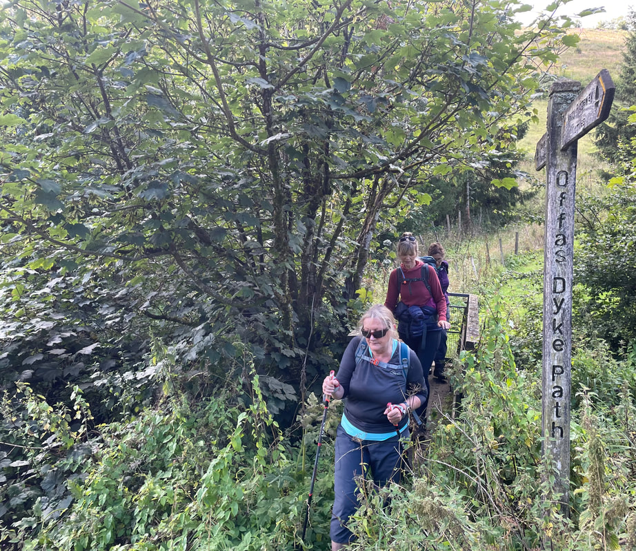
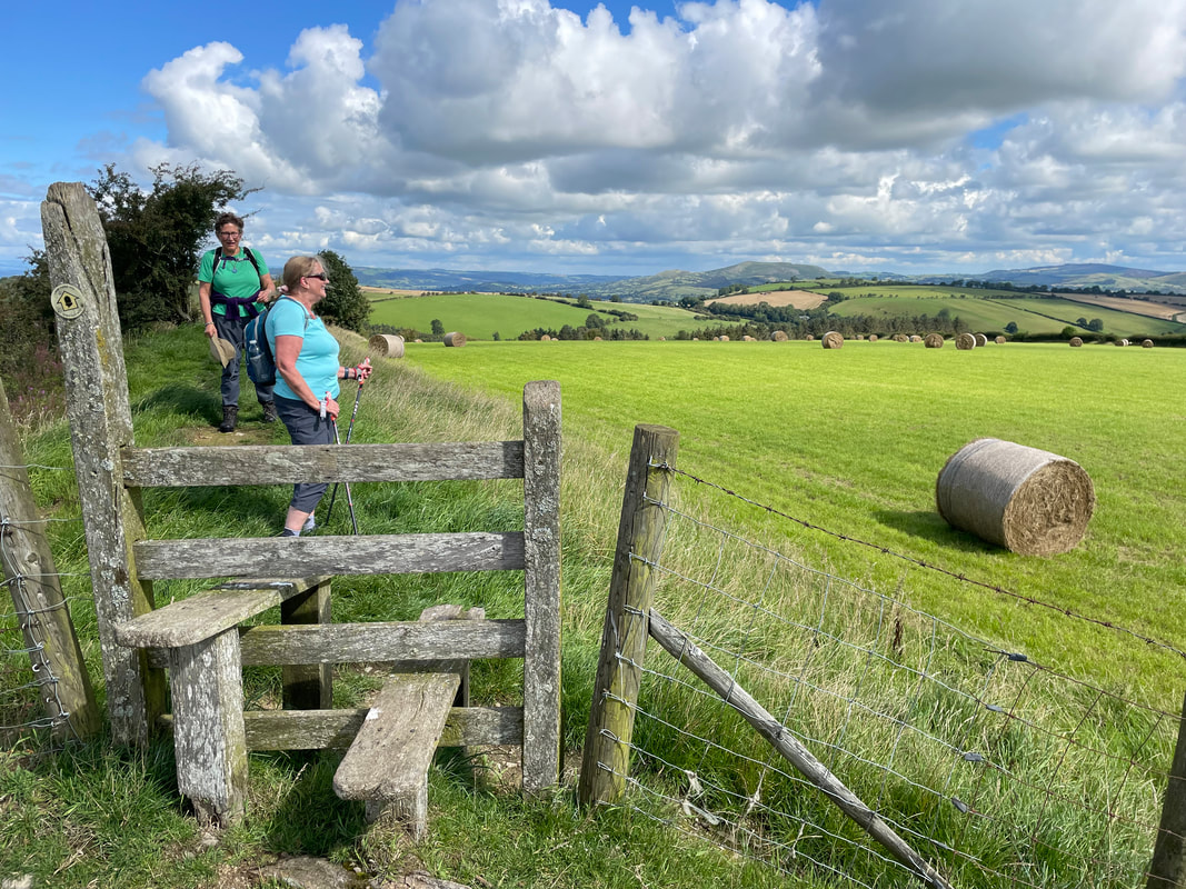
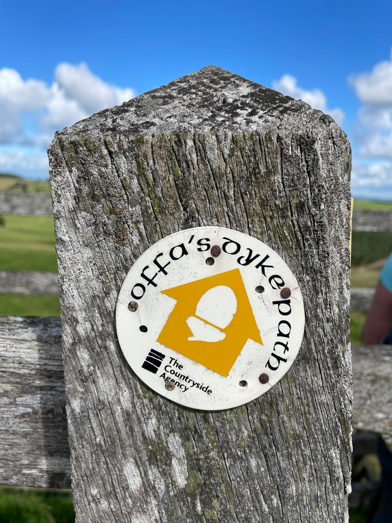
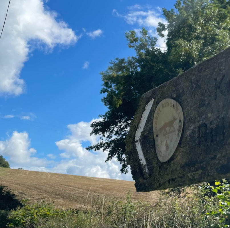
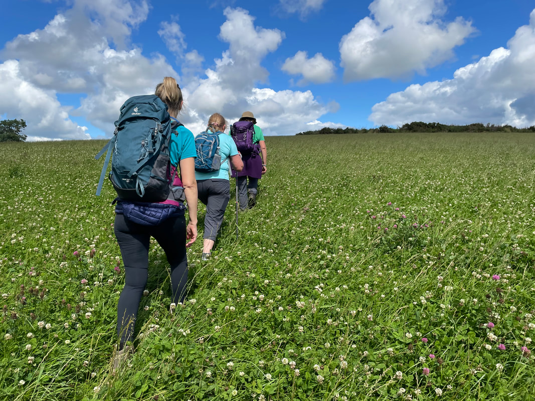
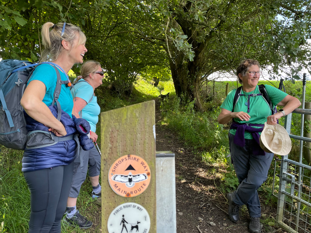
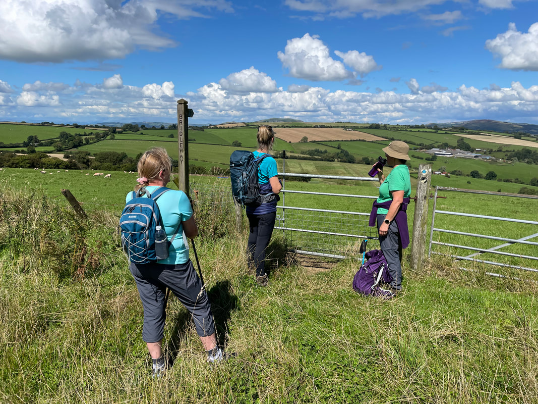
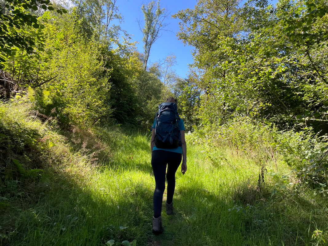
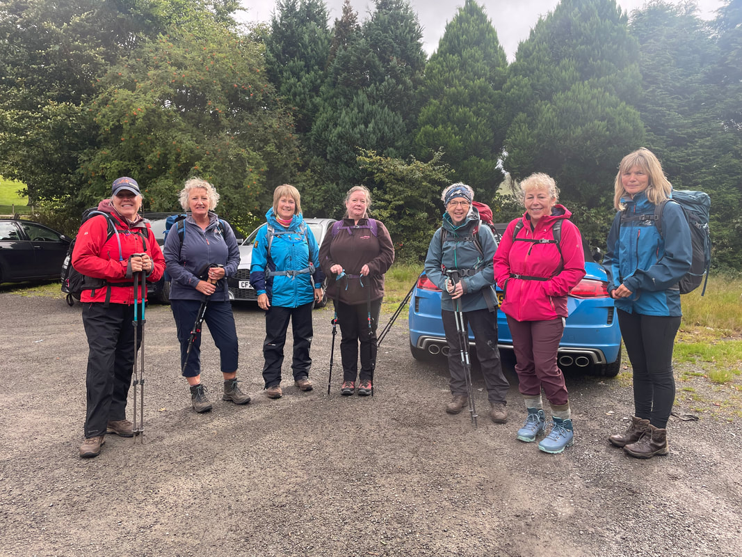
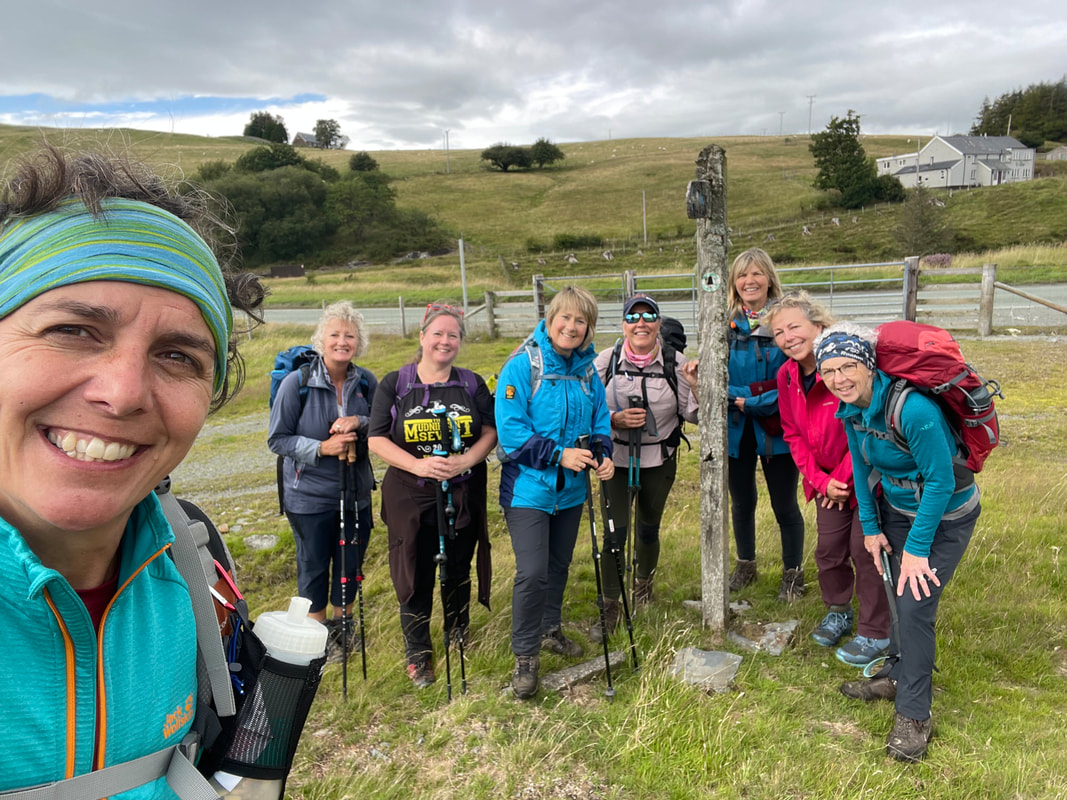
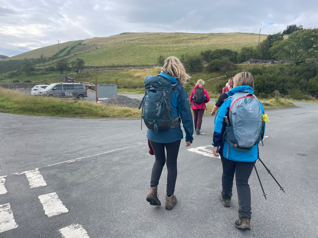
A beautiful walk on the Powys Shropshire border and we had the sunshine to appreciate the views at their best. The 3 Trails that the walk uses are The Kerry Ridgeway, The Shropshire Way and Offa's Dyke. We started from Mainstone Village Hall car park. They had been extremely helpful in letting us park there and offering the opportunity for Bryn Walking to be a sponsor for their new floor - £5 a tile and your name displayed on the wall. 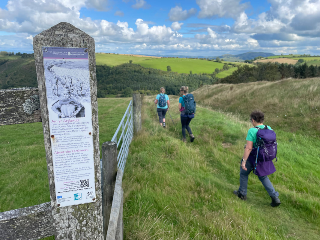
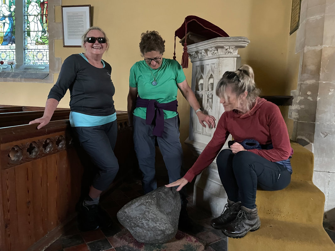
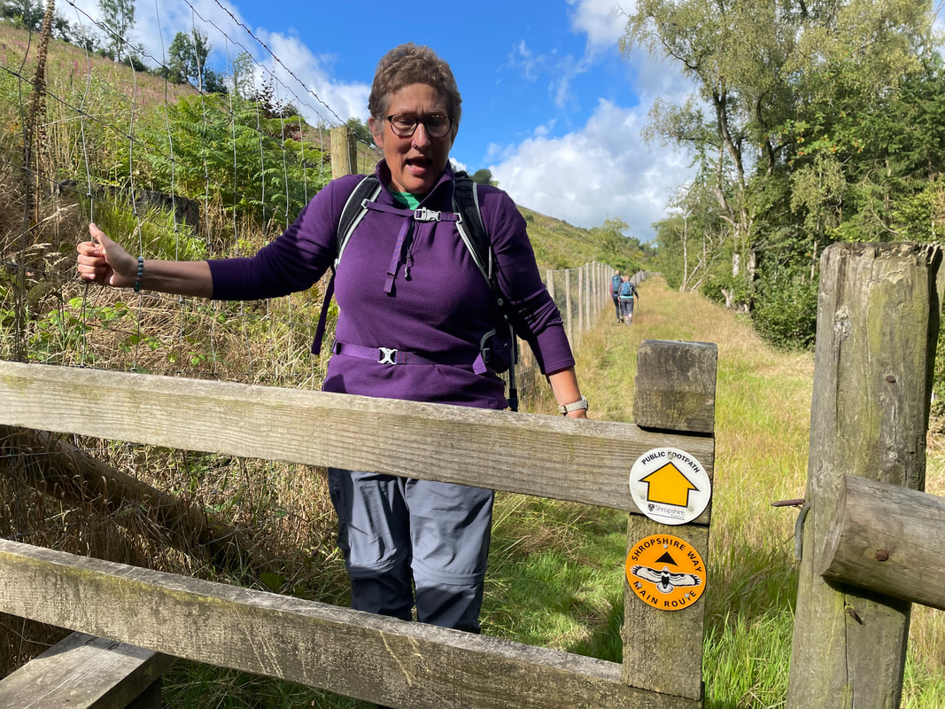
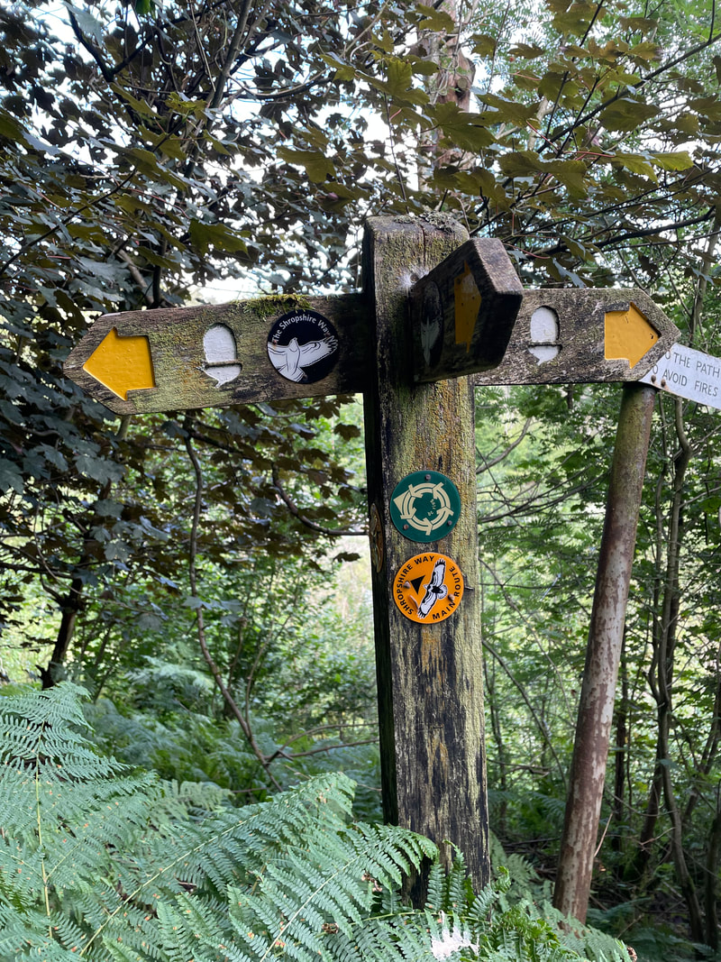
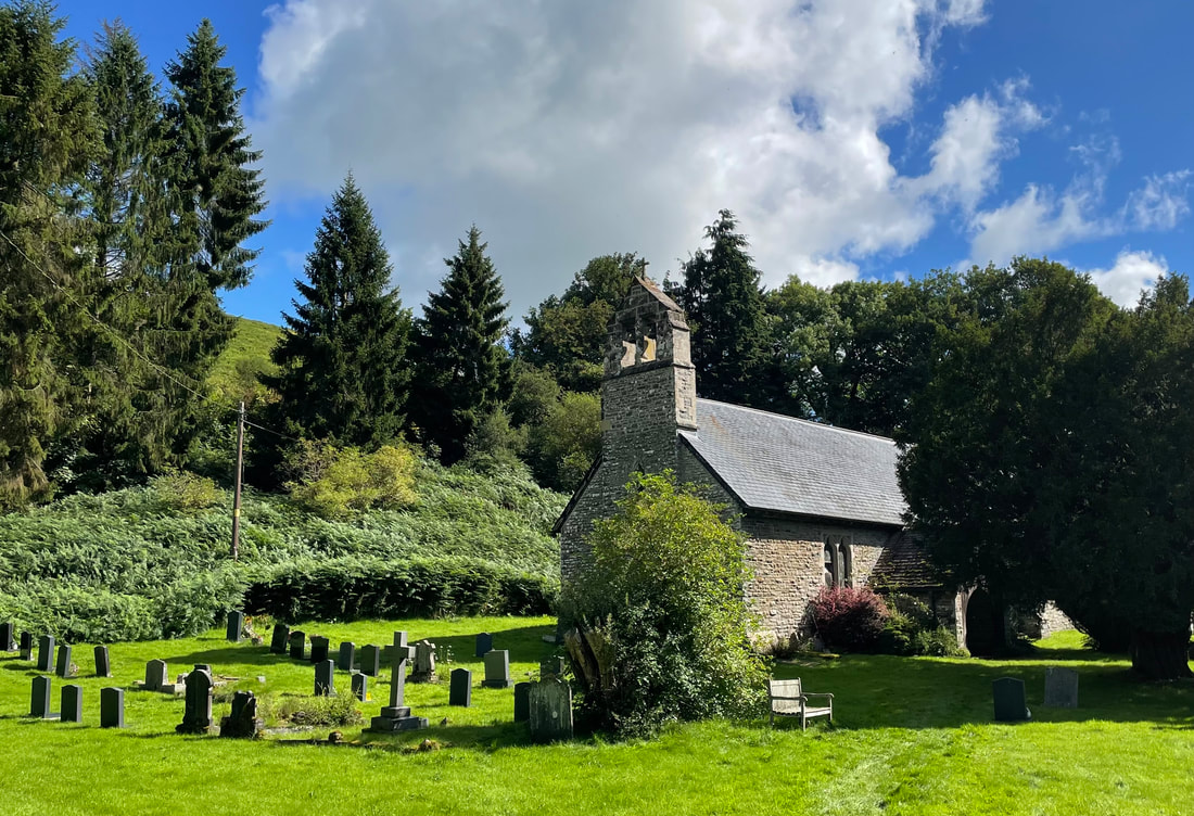
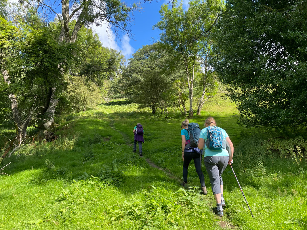
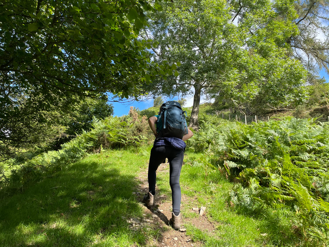
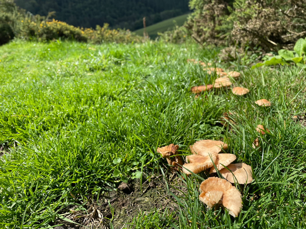
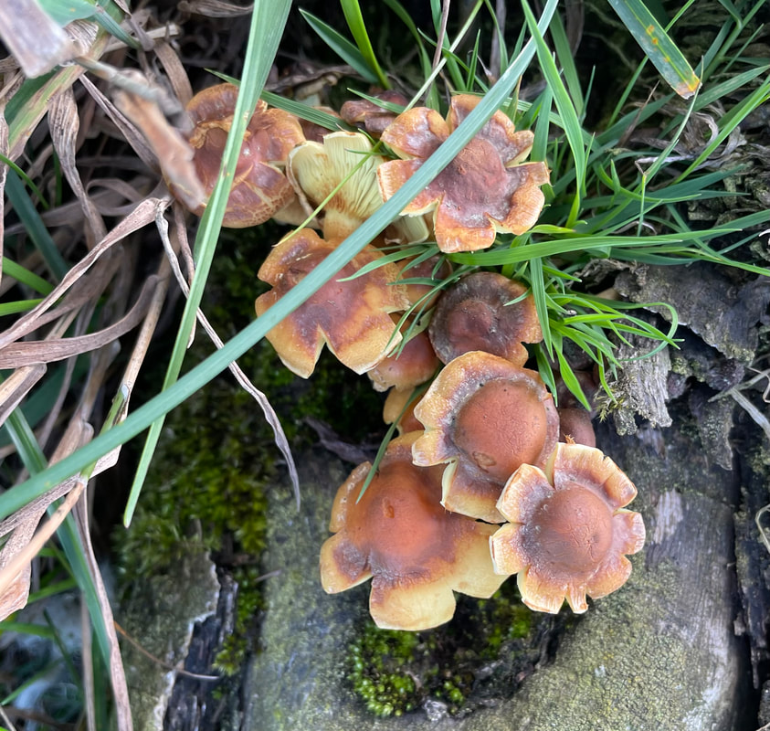
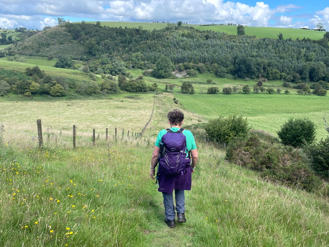
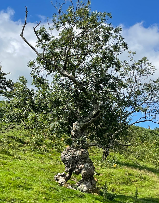
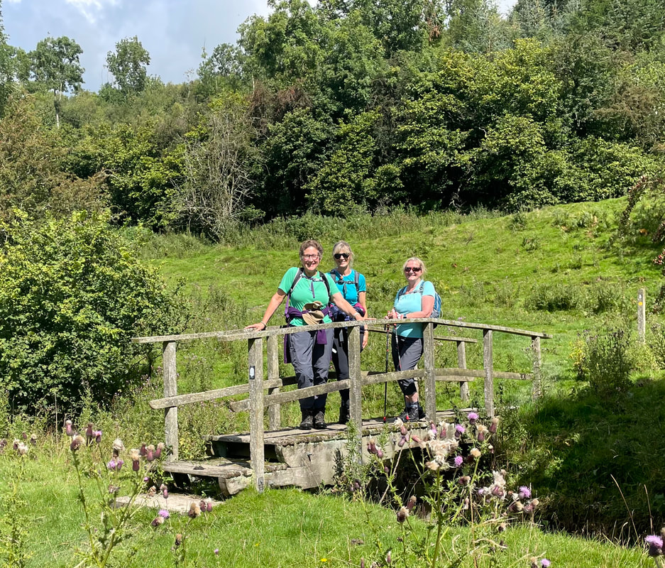
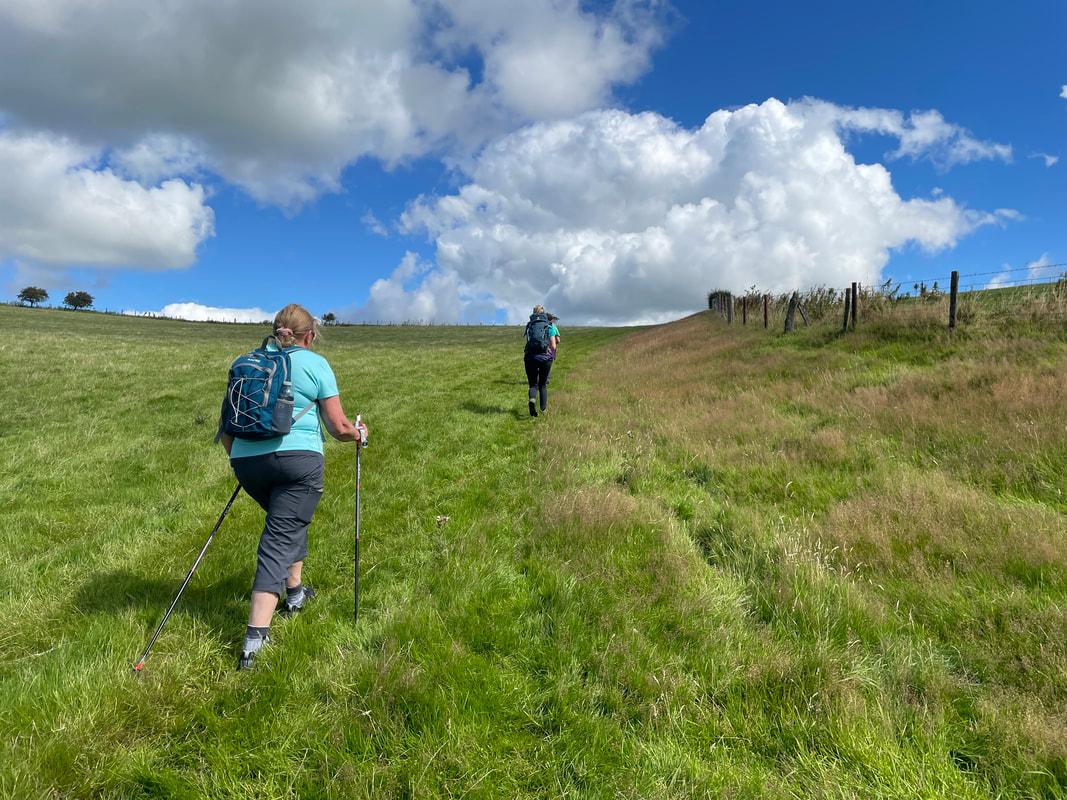
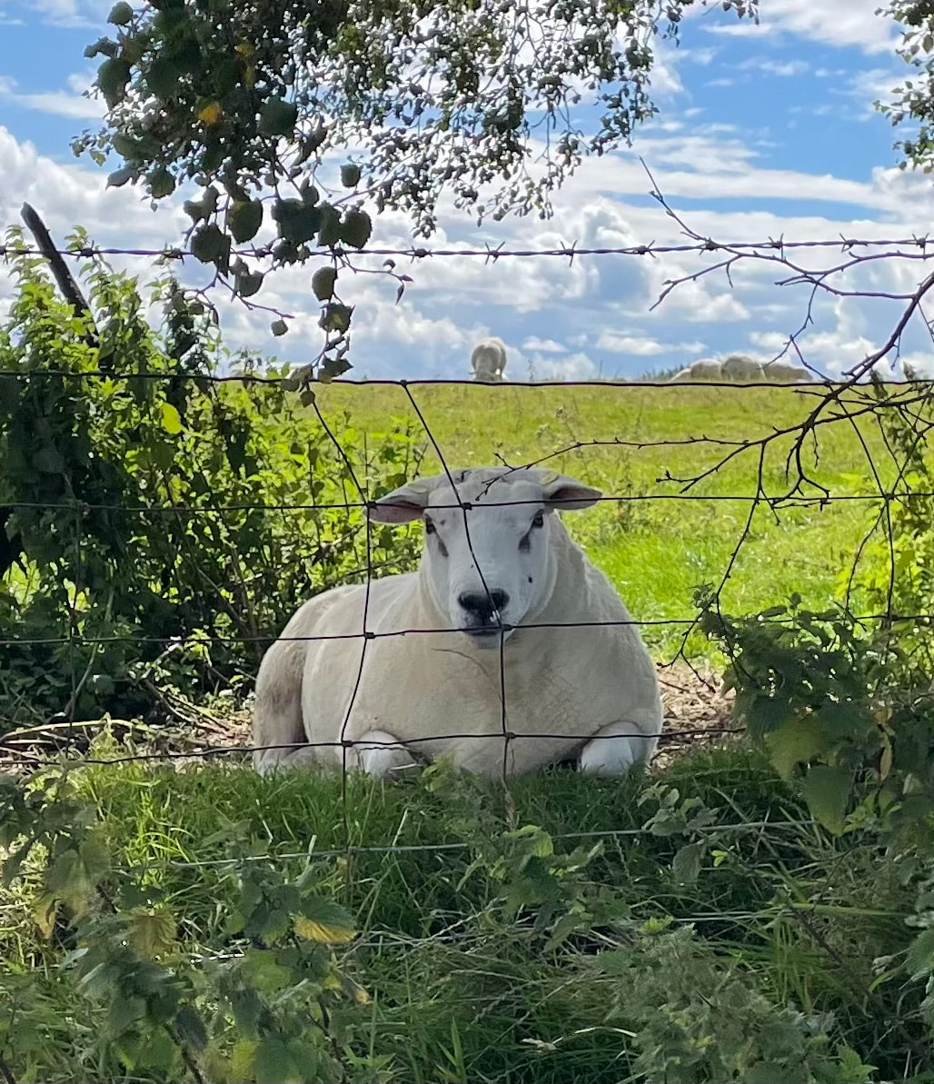
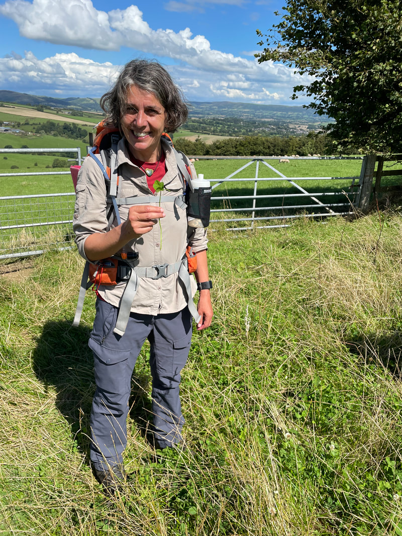
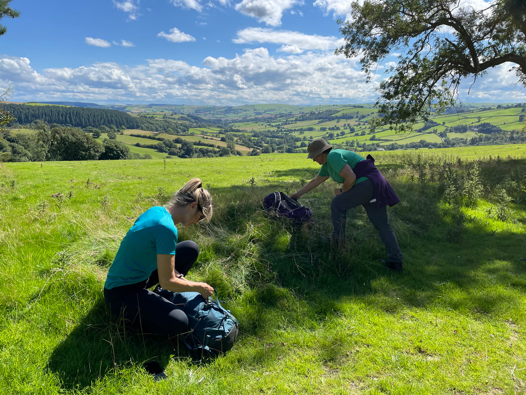
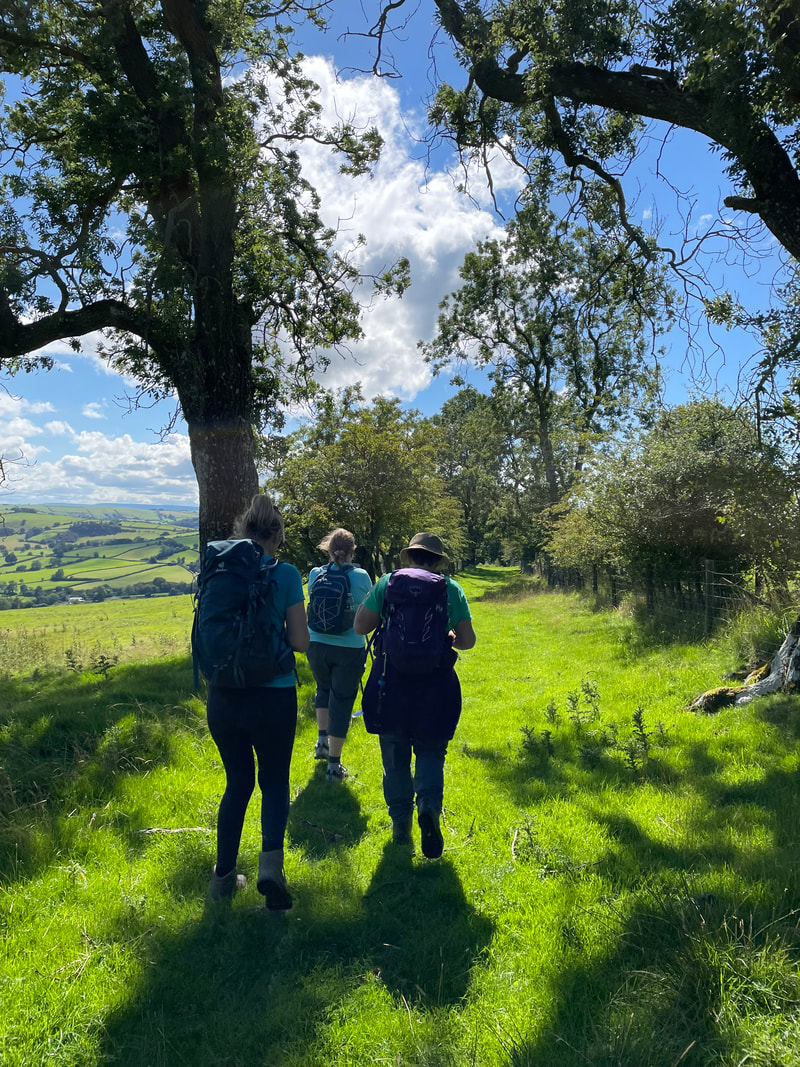
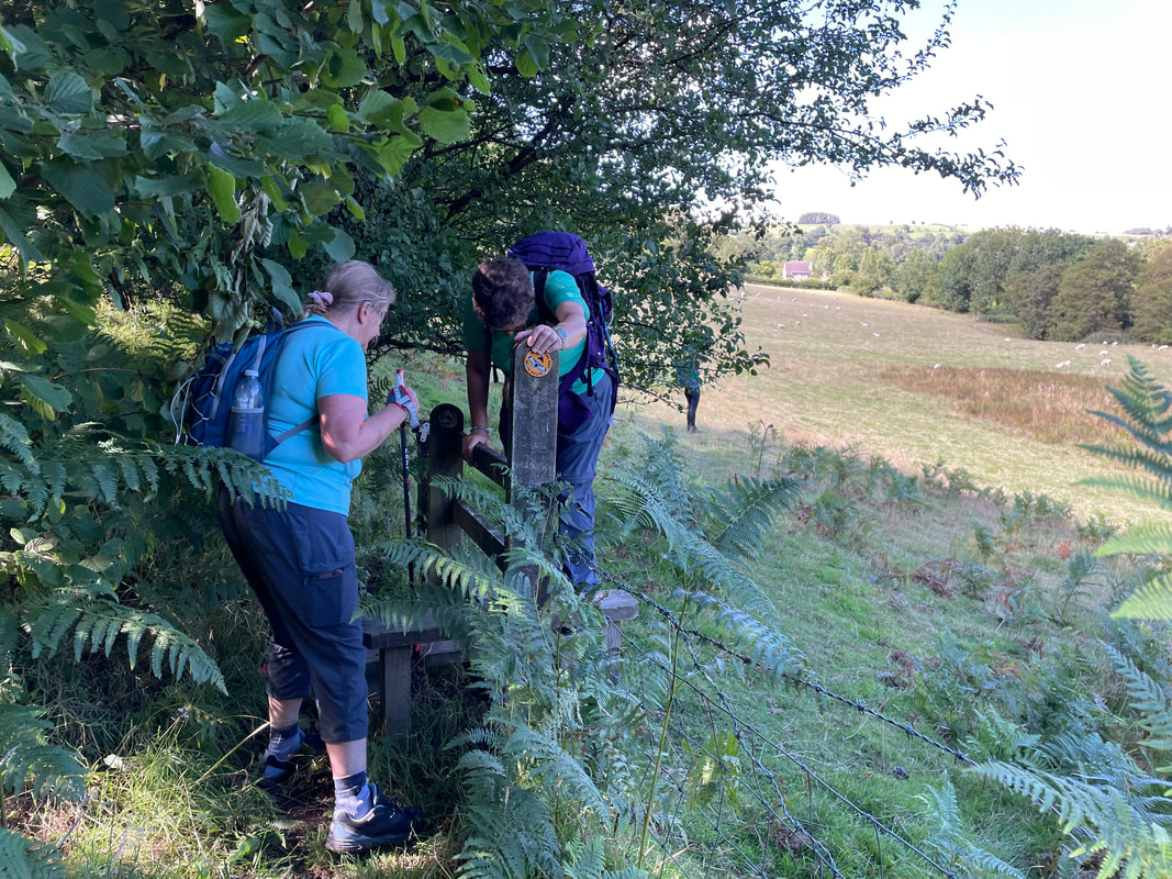
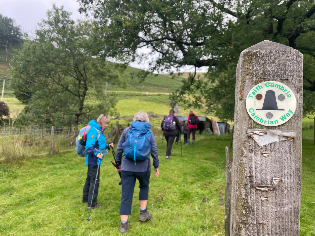
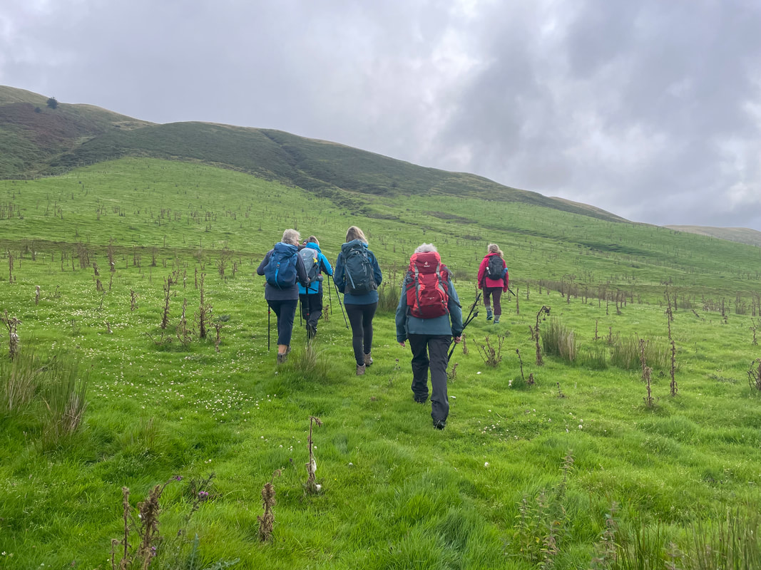
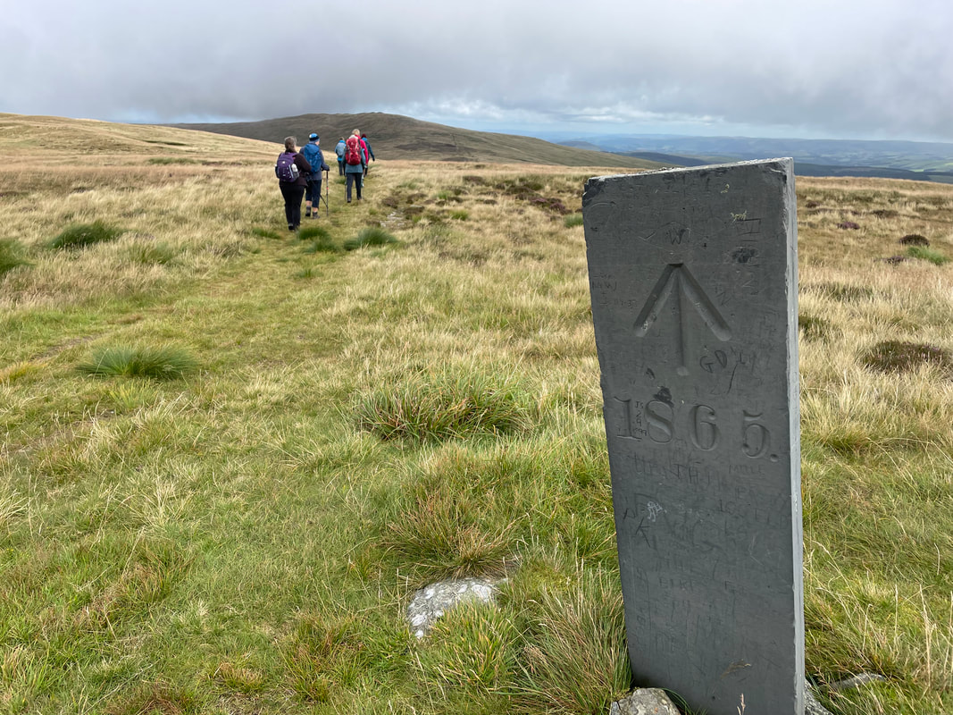
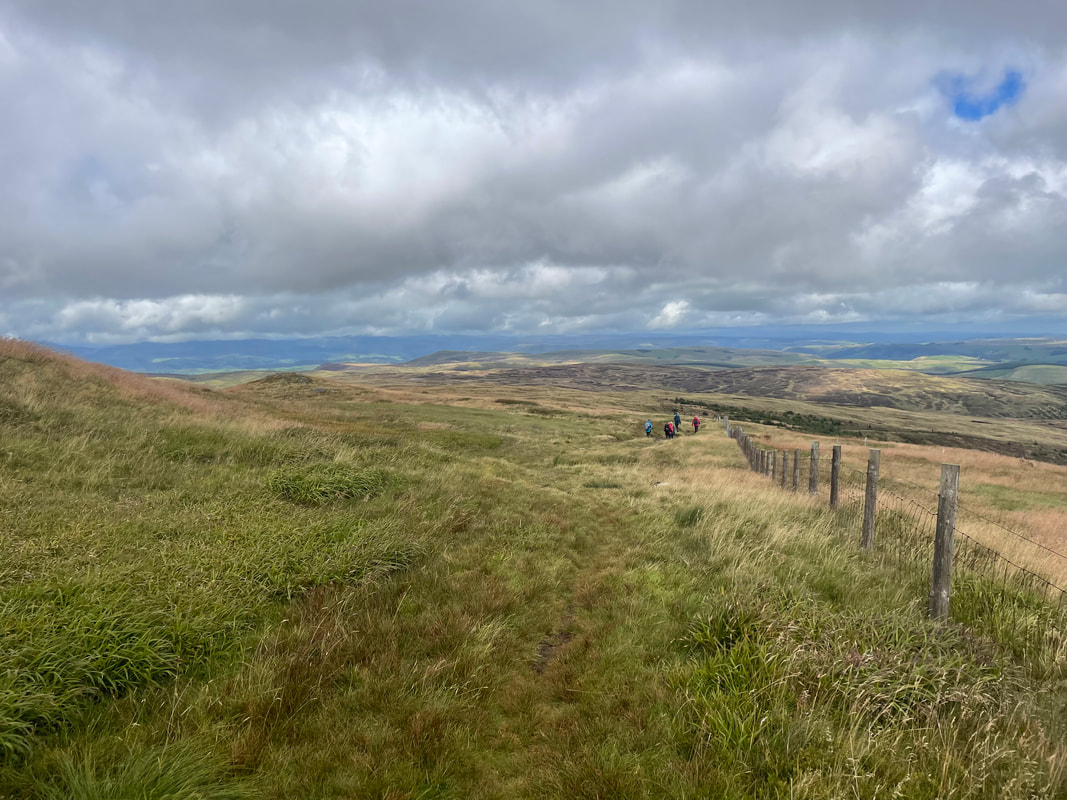
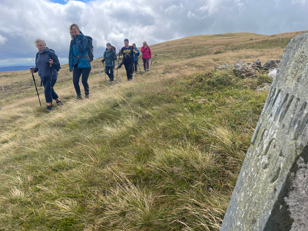
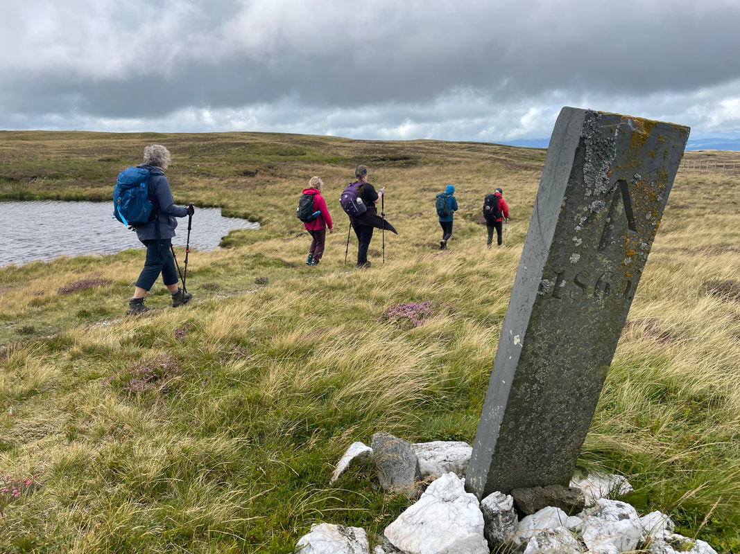
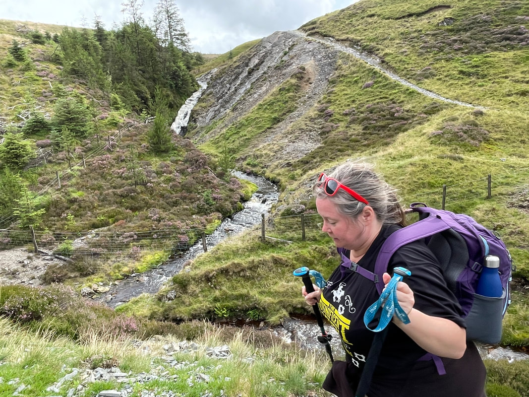
After a coffee stop we started on what must be the steepest bit of Offa's Dyke, the views of the surrounding hidden valleys are fantastic. The Dyke levels out a bit before descending into the Edenhope Valley. Then we picked up a bridleway through Nut Wood to take us across the field to meet The Kerry Ridgeway where we had outstanding views across Montgomeryshire towards Snowdonia. I had asked the land owner if we could visit an Iron Age fort on their land which made for an ideal lunch in a very unique location. 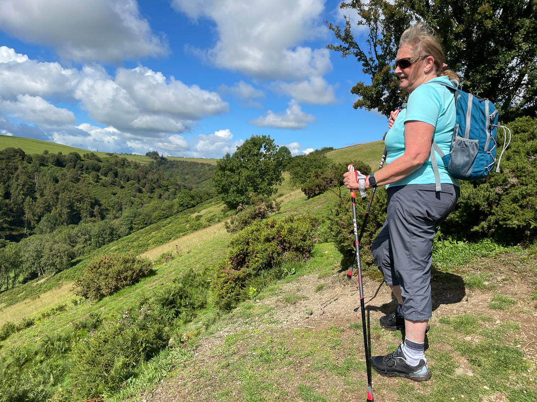 The Kerry Ridgeway section is on the road until we get to Bishop's Moat where there is a 13th century motte and bailey. Joining The Shropshire Way again through Henley Wood, this trail would eventually take us back to the start. On the way we stopped at the top of another old green lane with beautiful views south, and then through Knuck Wood after crossing the River Unk and back into Mainstone. Thank you everyone who came and enjoyed this fabulous day with me.
2 Comments
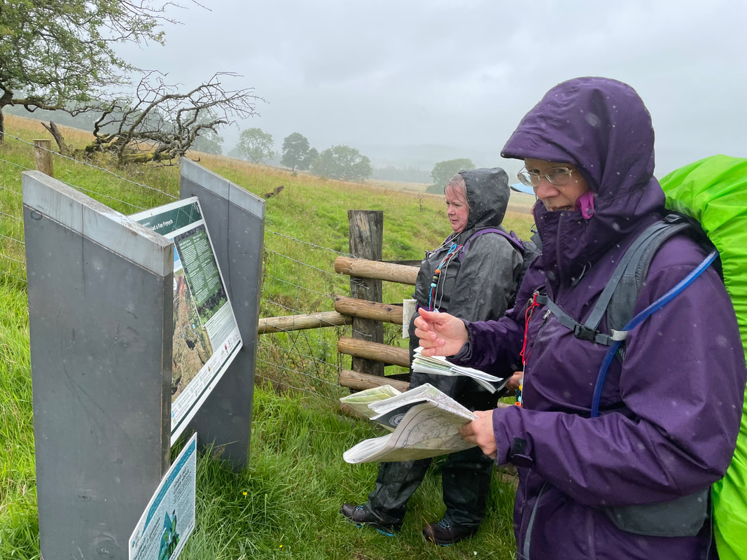
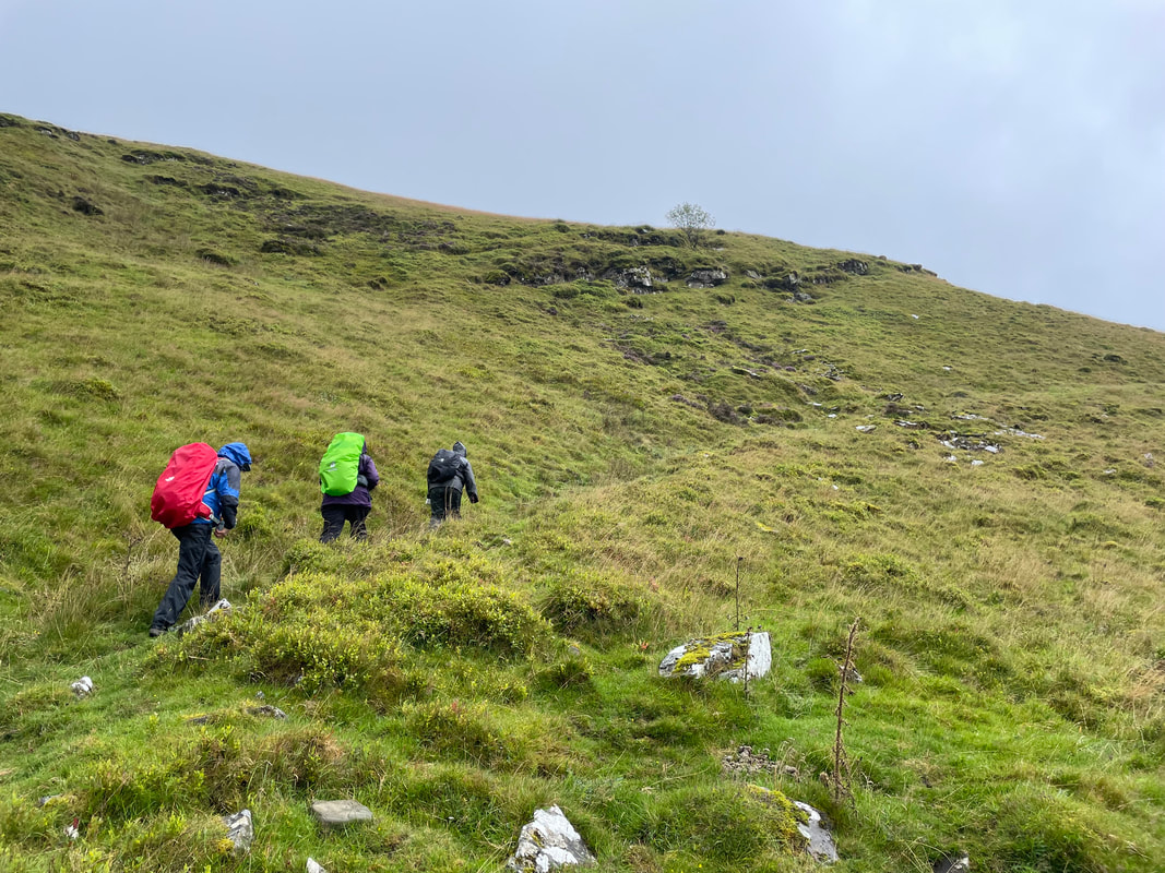
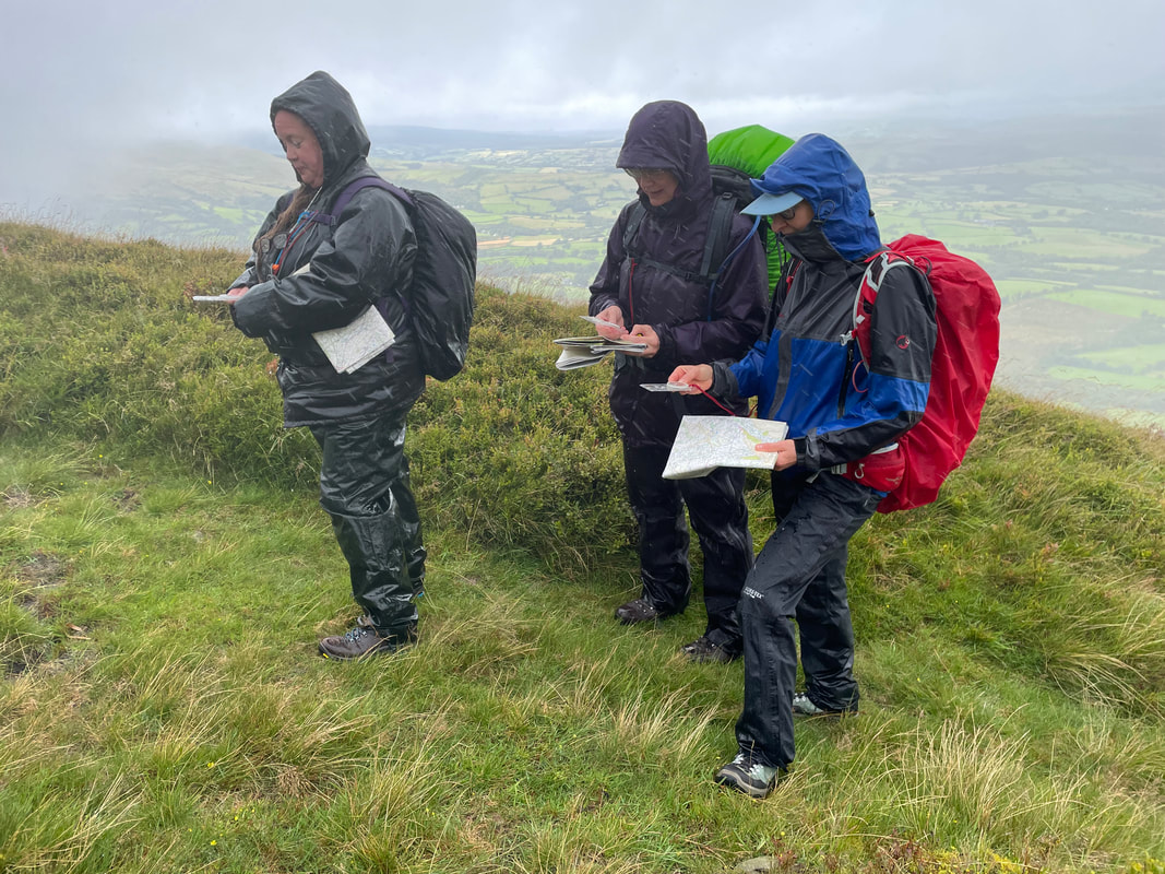
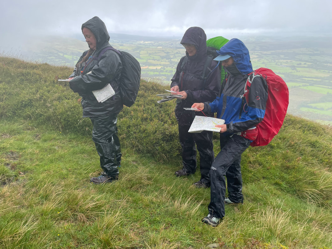
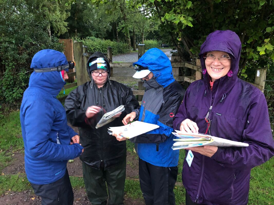
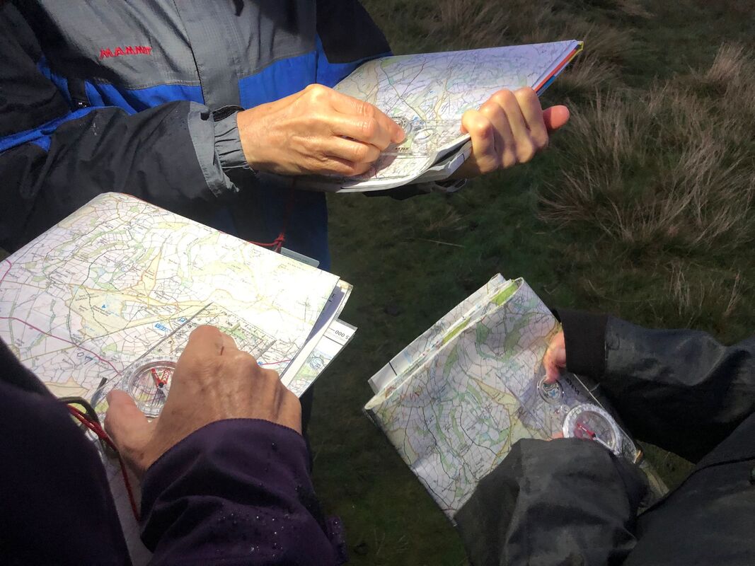
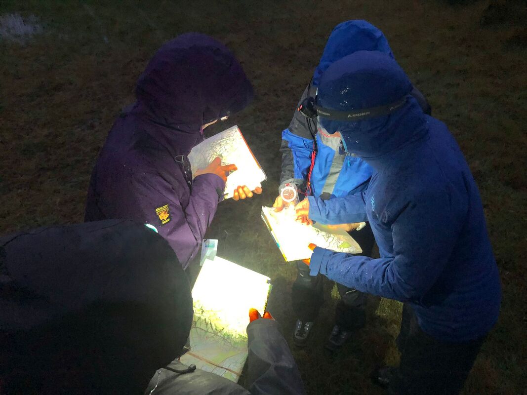
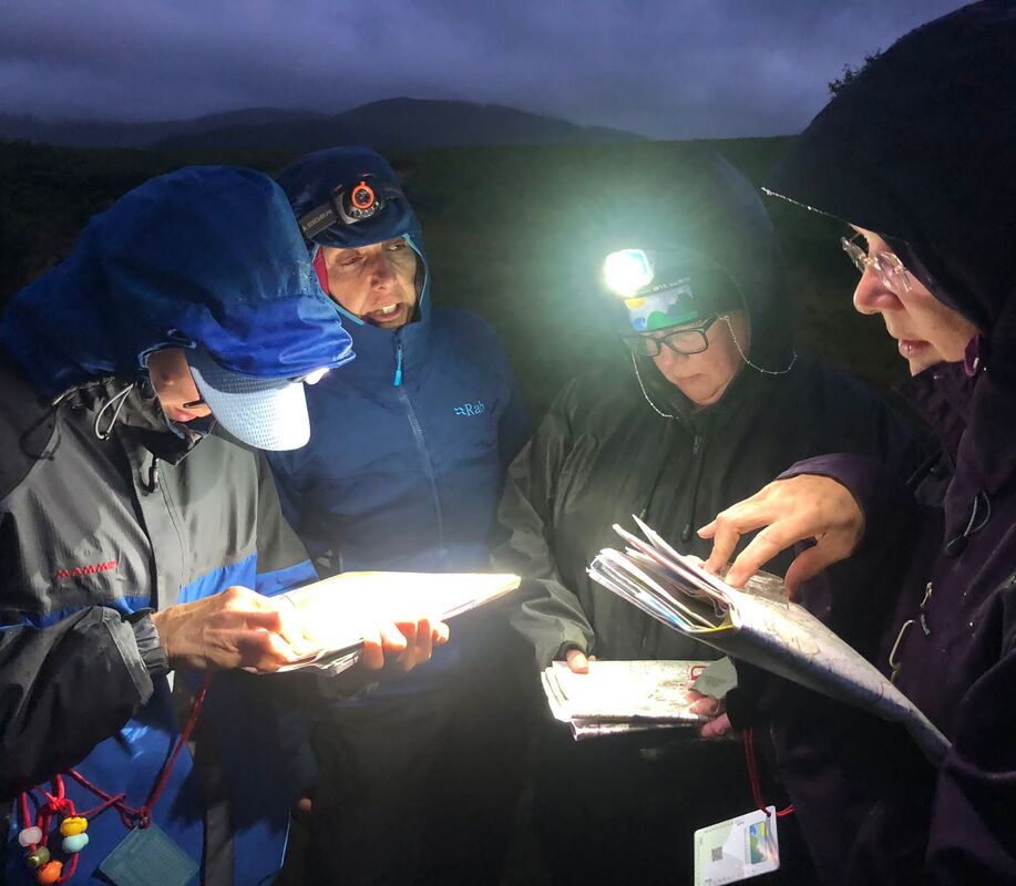
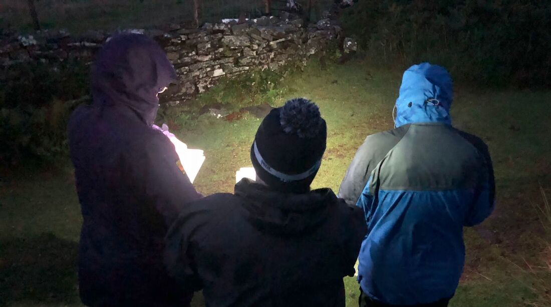
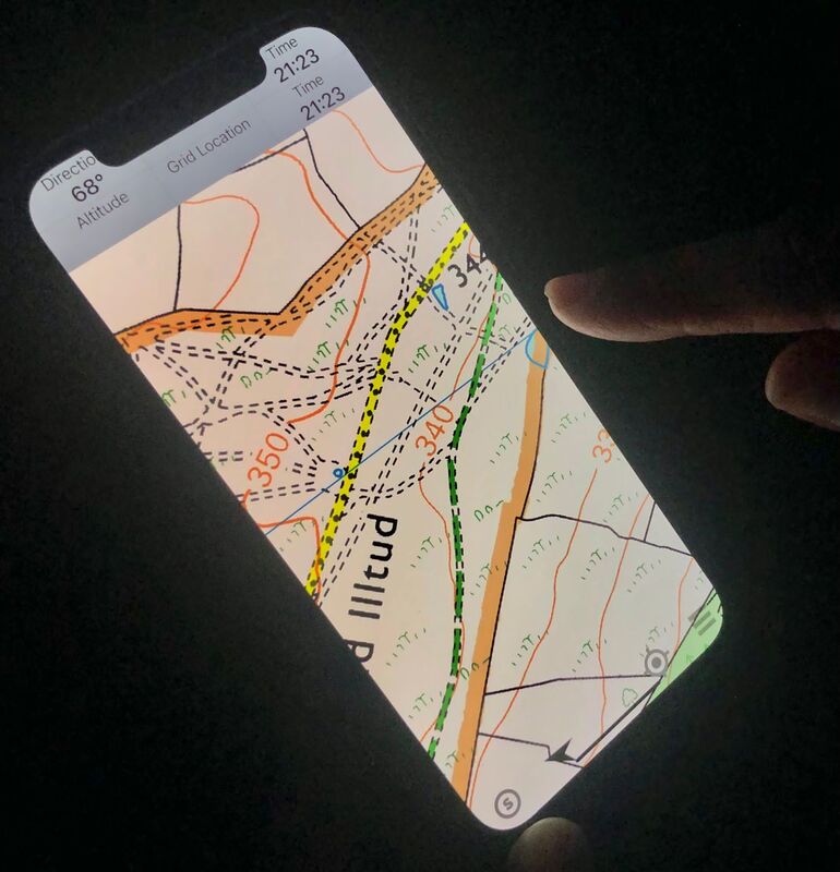
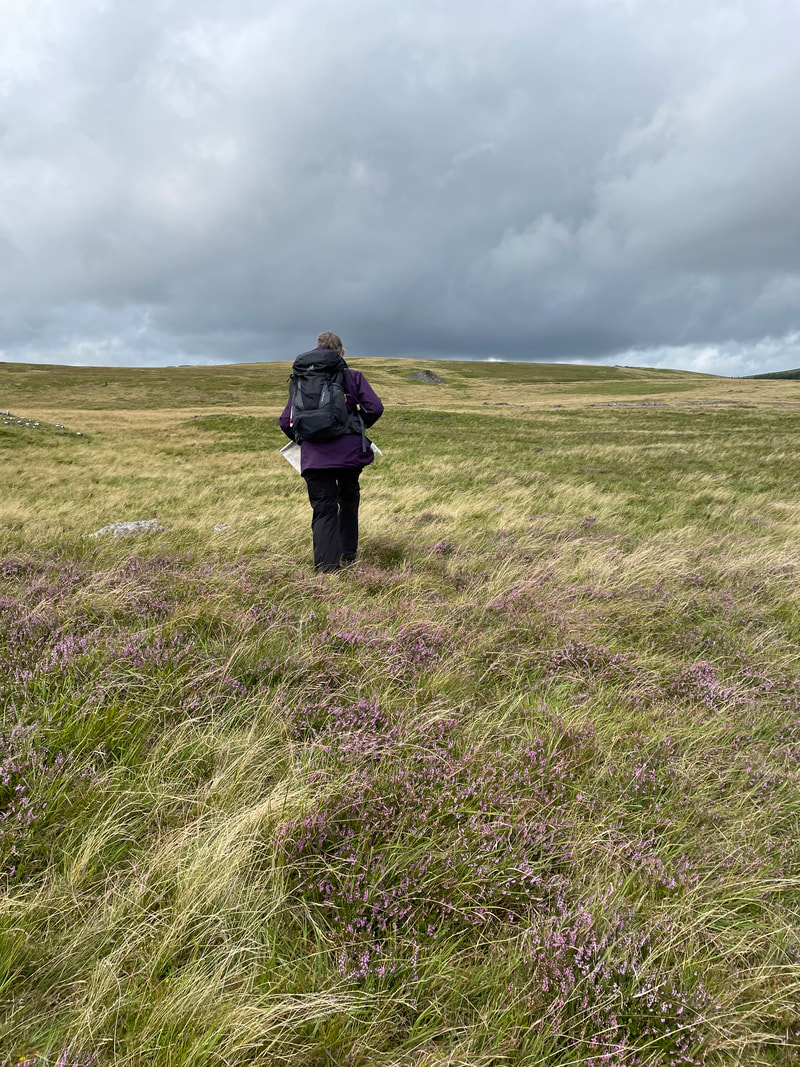
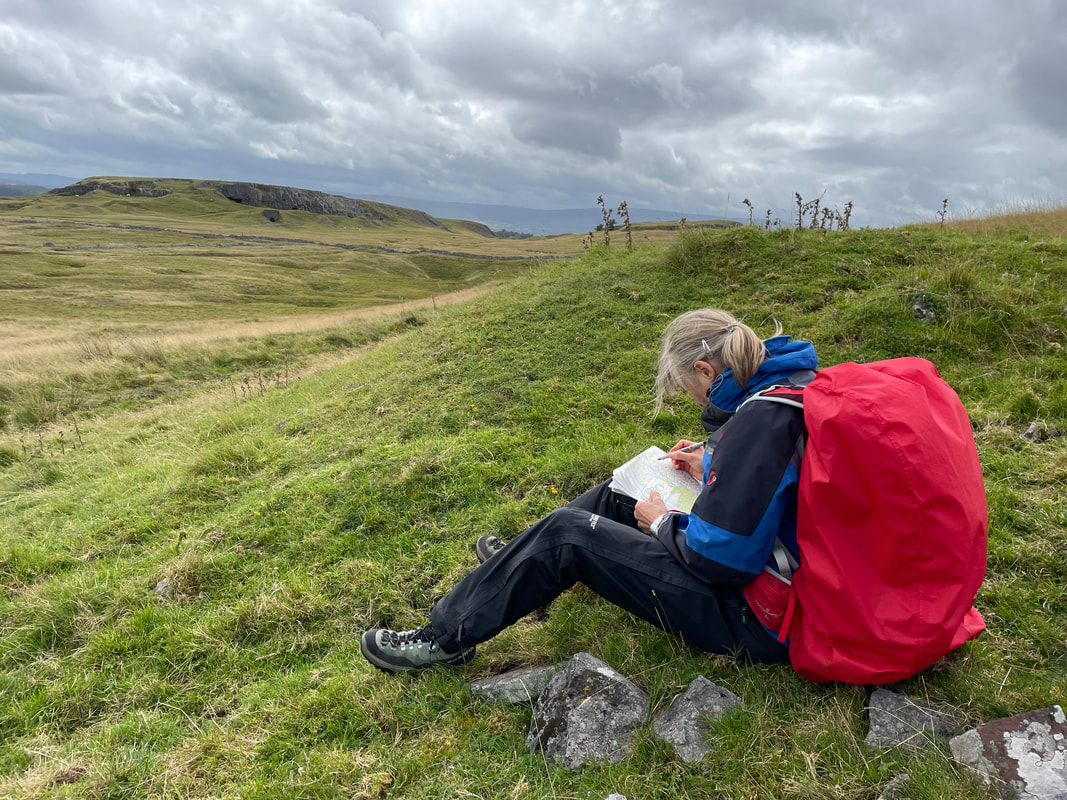
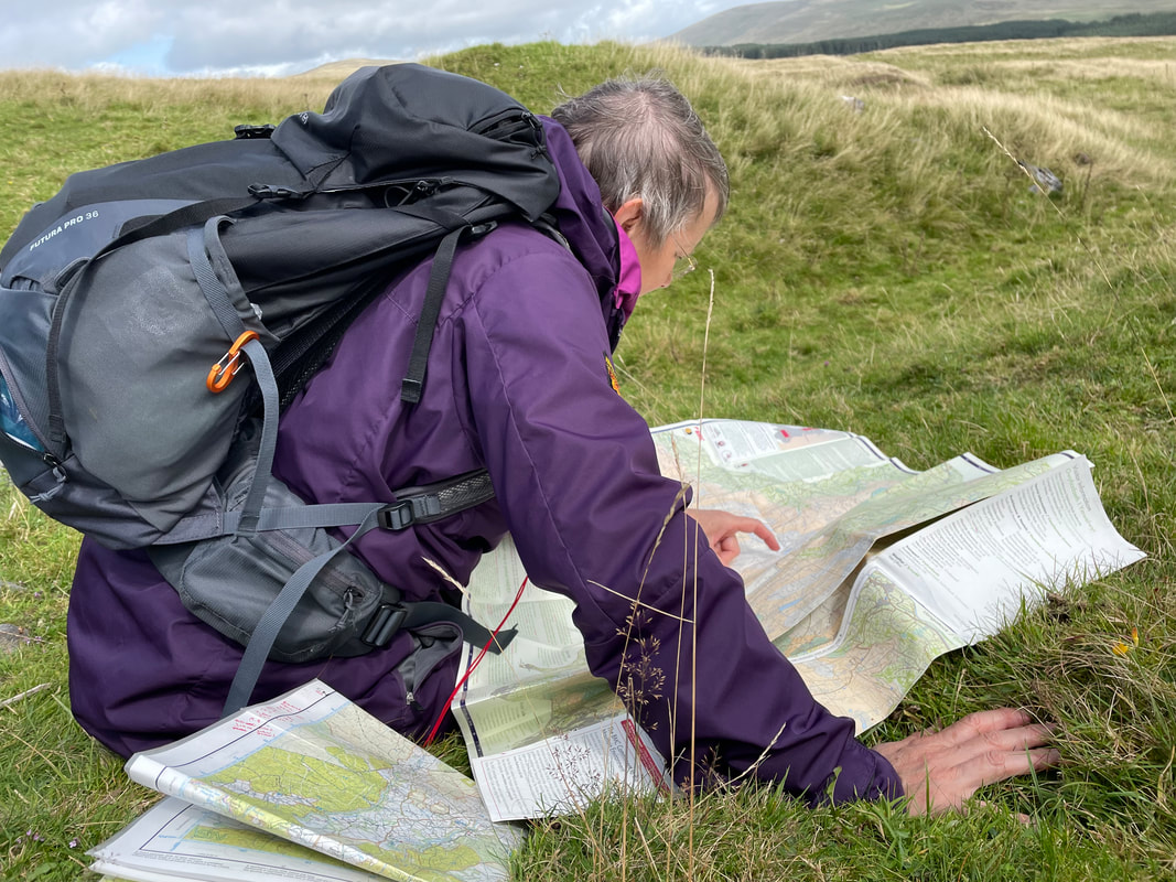
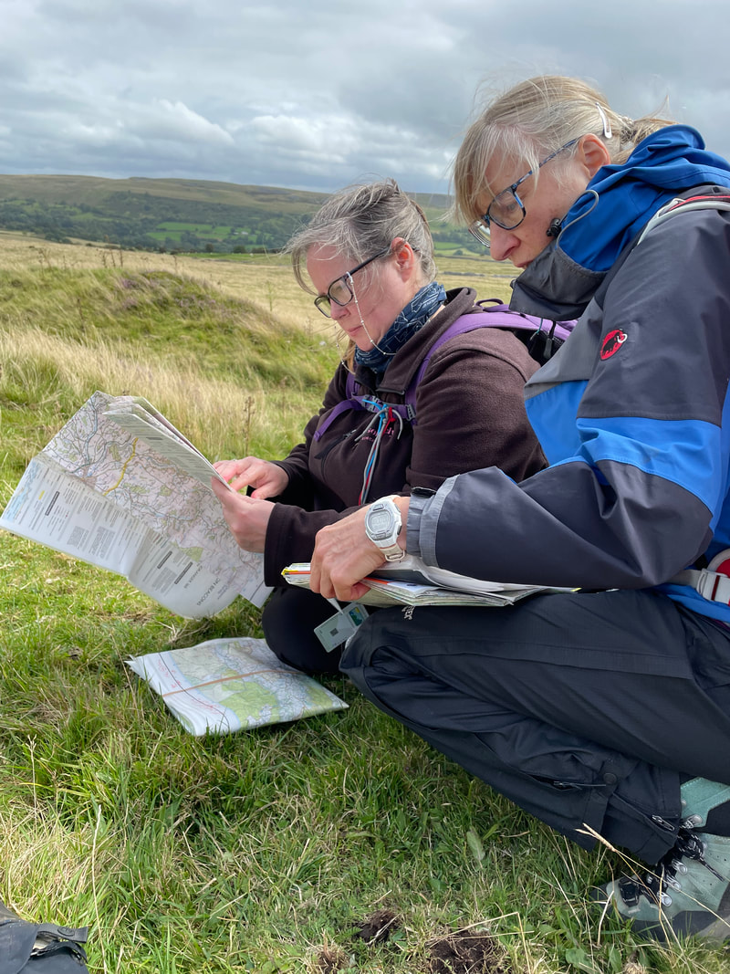
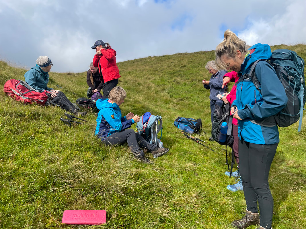
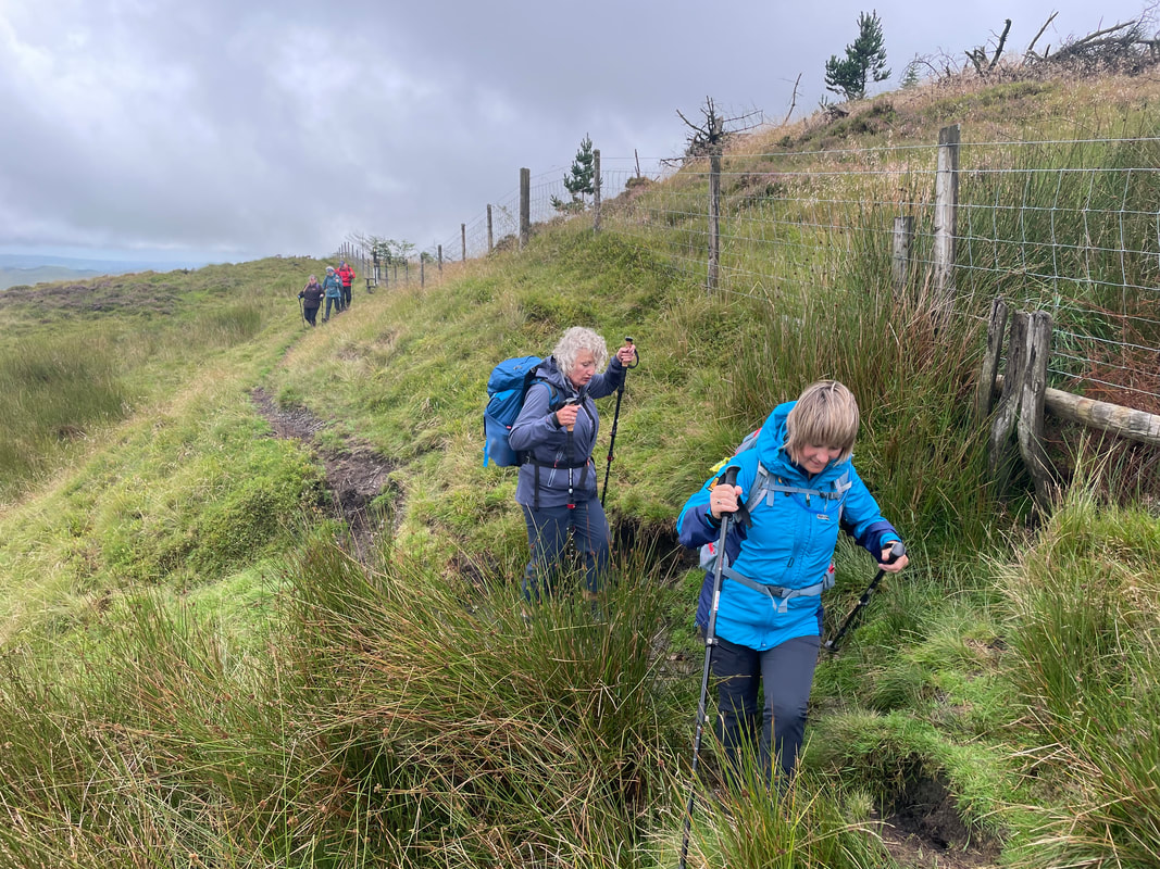
The NNAS Silver Navigator Award offer the candidates to opportunity to learn compass skills to a greater degree, allowing them to venture off path on open access land and have a more in-depth understanding of the landscape. The syllabus is comprehensive and we cover other areas, for example - planning, emergency procedures, navigating in poor visibility and rucksack content. 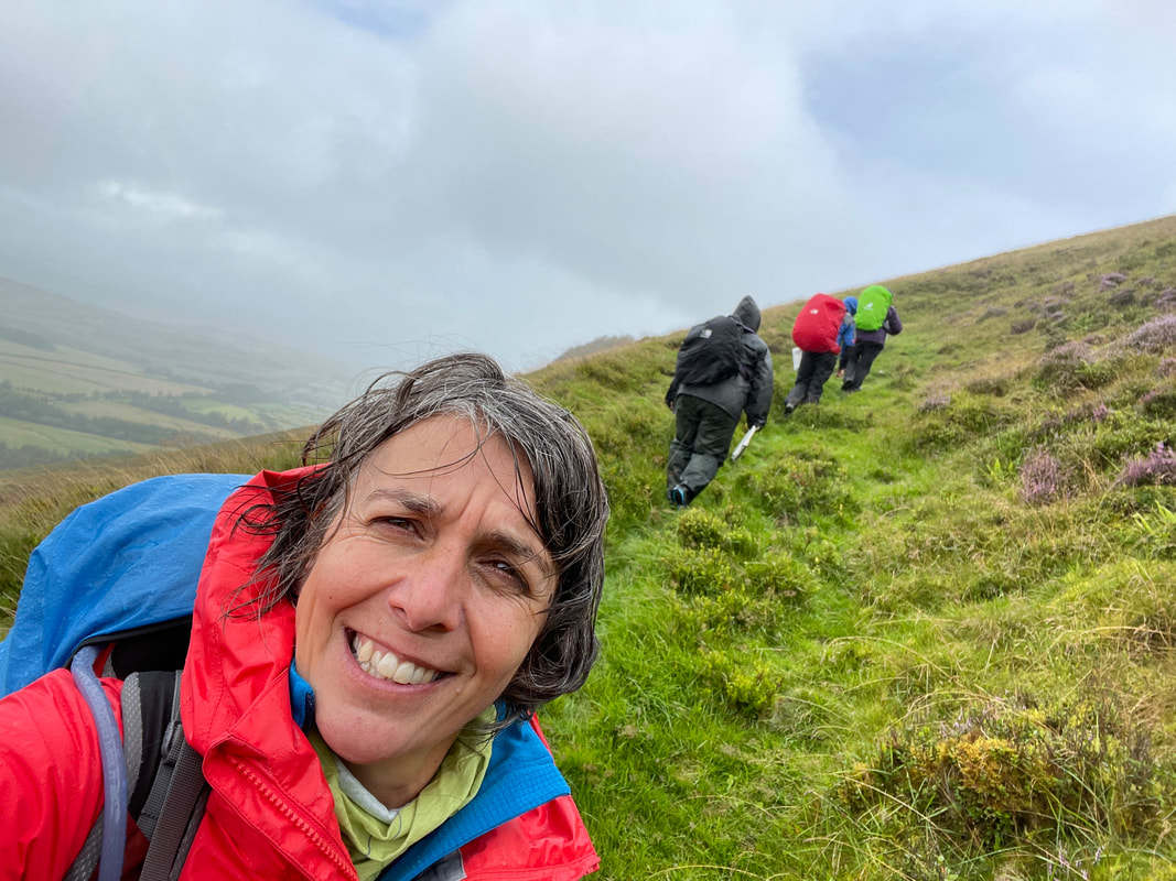 We had 3 candidates, one of whom had passed her NNAS Bronze Navigator Award with Bryn Walking earlier in the year. The other two were both experienced walkers and map readers. They all were of a similar competence level so we got off to a very good start. The first hour or so we spent in the Visitor Centre for introductions and to cover areas of the syllabus that are easier taught indoors. Transported to the start point in the Bryn Walking minibus, we started out on the route with some Bronze revision before heading up the mountain. Poor visibility on the top and high wind and rains put everyone to the test and they all coped extremely well - learning navigational skills in these conditions is not easy. 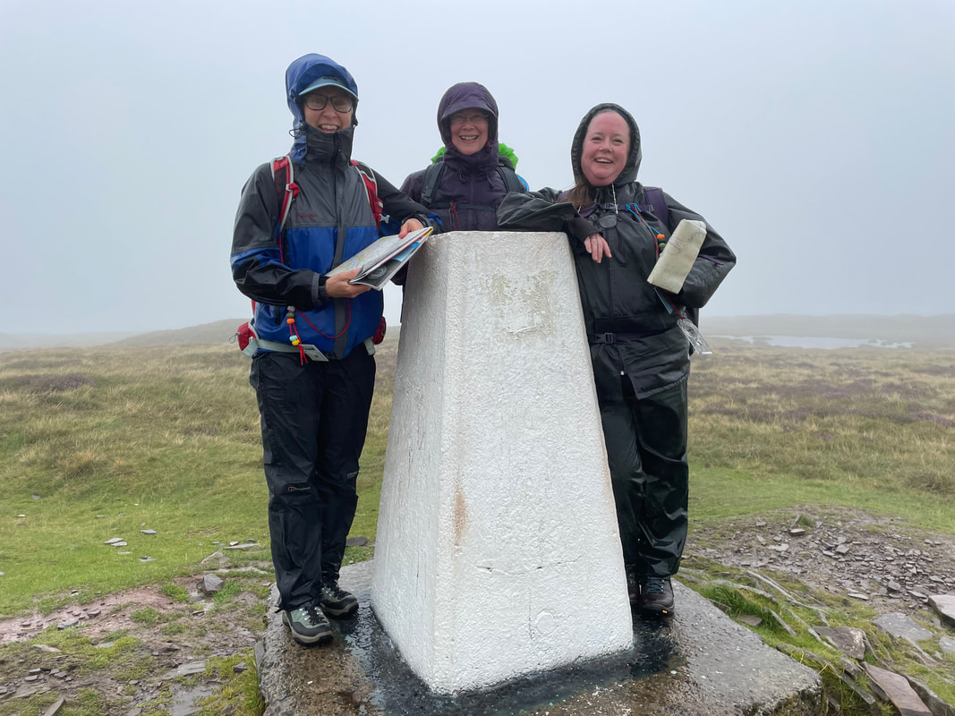 After a break to get dry and for refreshments we reconvened just before sunset for 'day into night' navigation. Alan Ward (IML) a good friend, colleague and fellow NNAS instructor, joined us for this part - his company and expertise were much appreciated. Day 2 was a sunnier day and allowed the candidates to put all they had learnt on Day 1 into practice, working individually which allows for assessment. The terrain and geology were completely different to Day 1 giving variety and opportunity to learnt a bit about different environments. Both routes had points of interest too to make an informative and pleasurable learning experience. *** CONGRATULATIONS *** 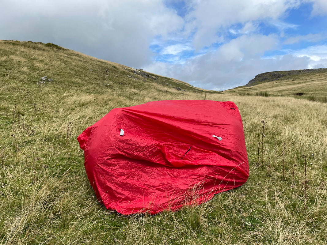 NEXT COURSES AVAILABLE :
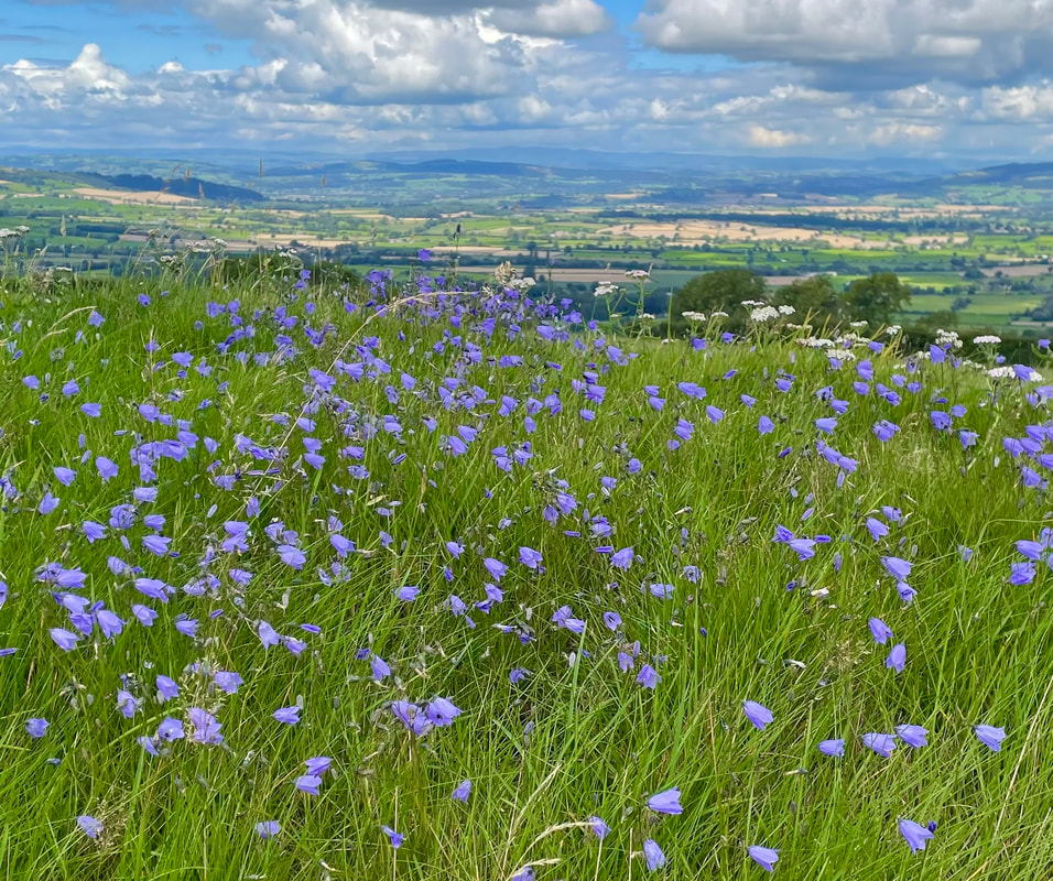
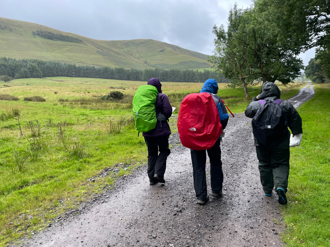
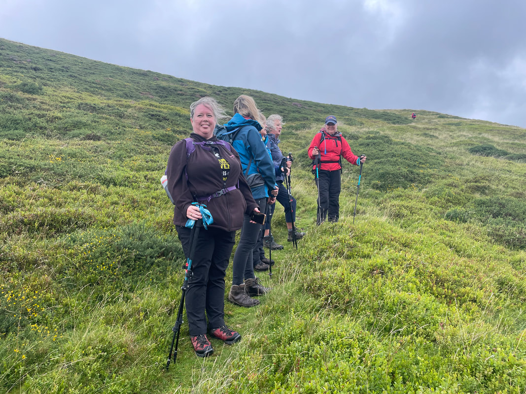
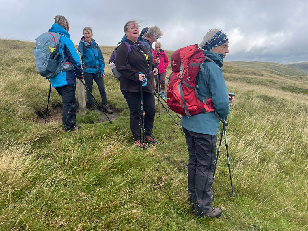
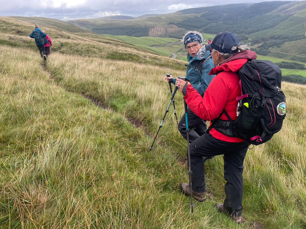
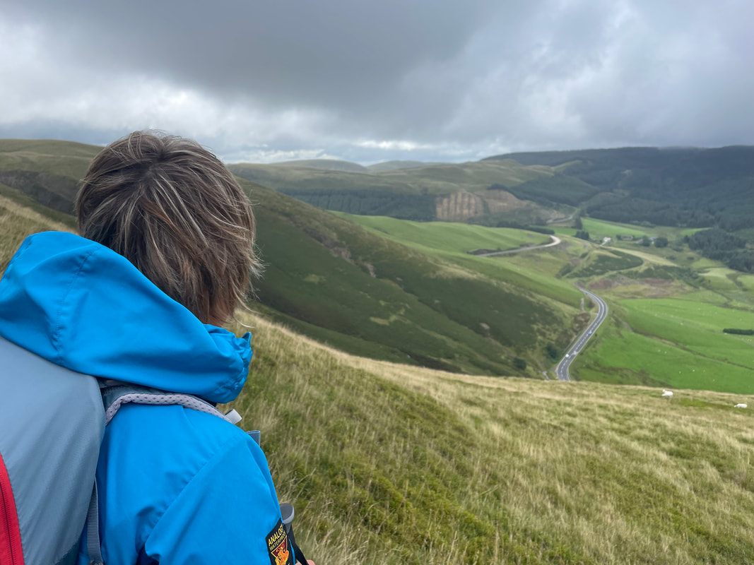
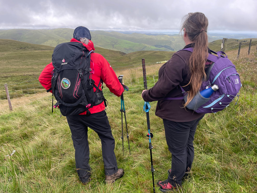
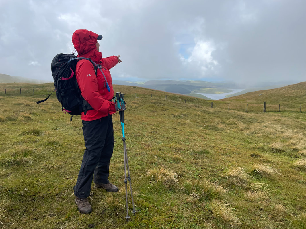
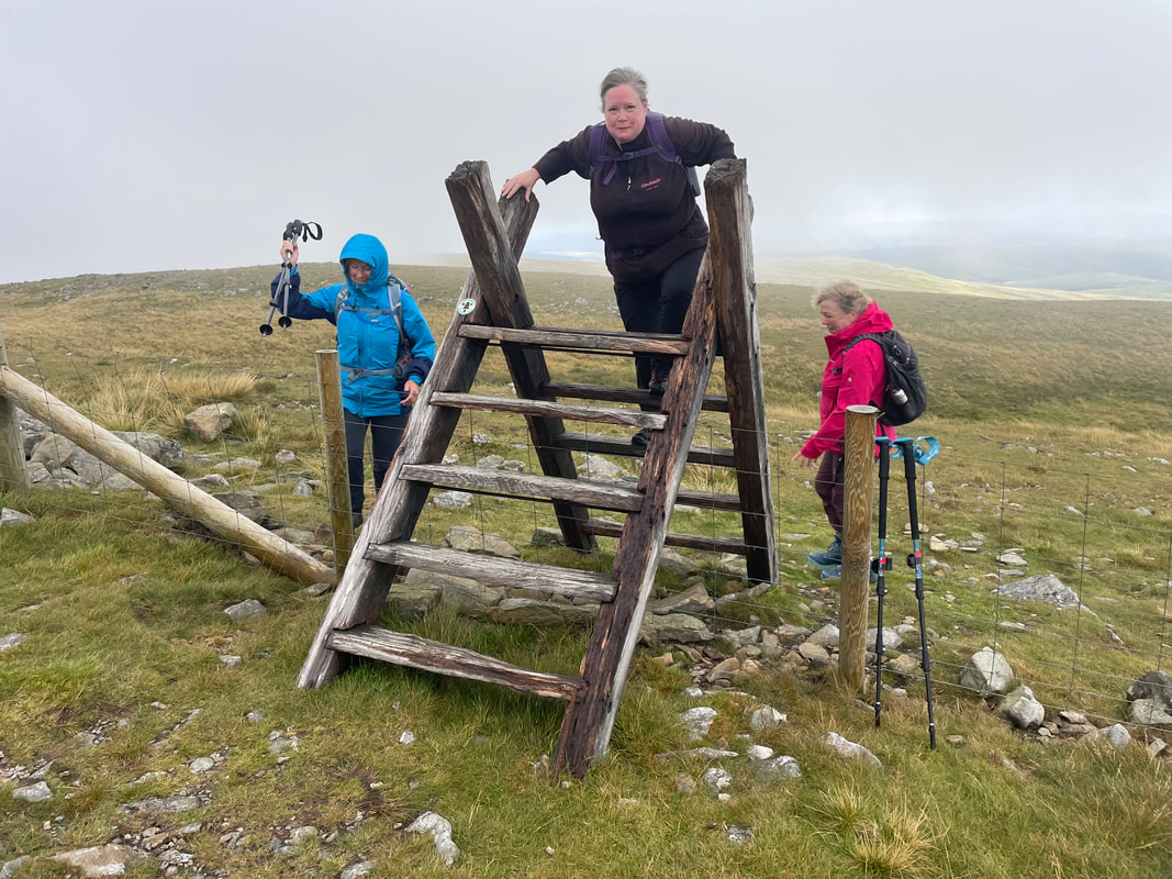
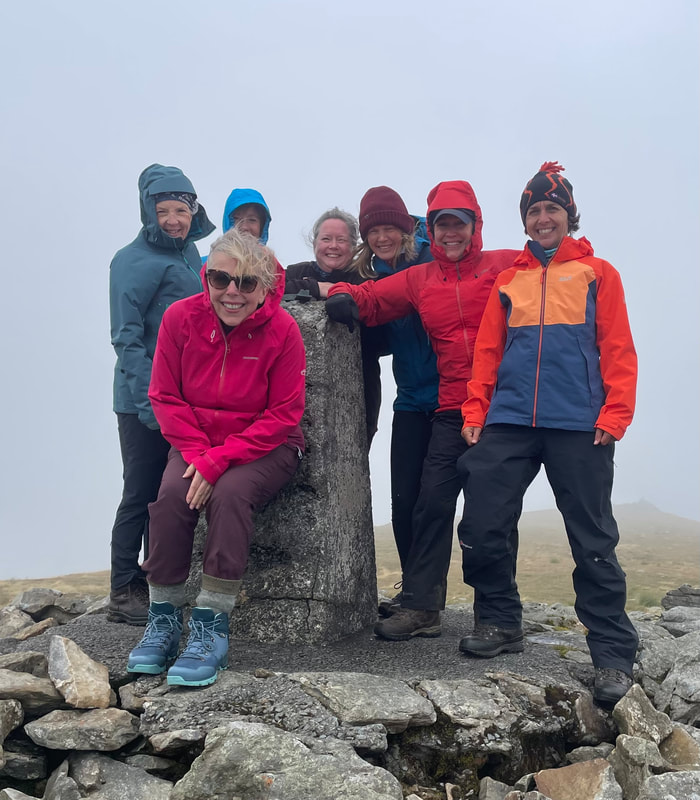
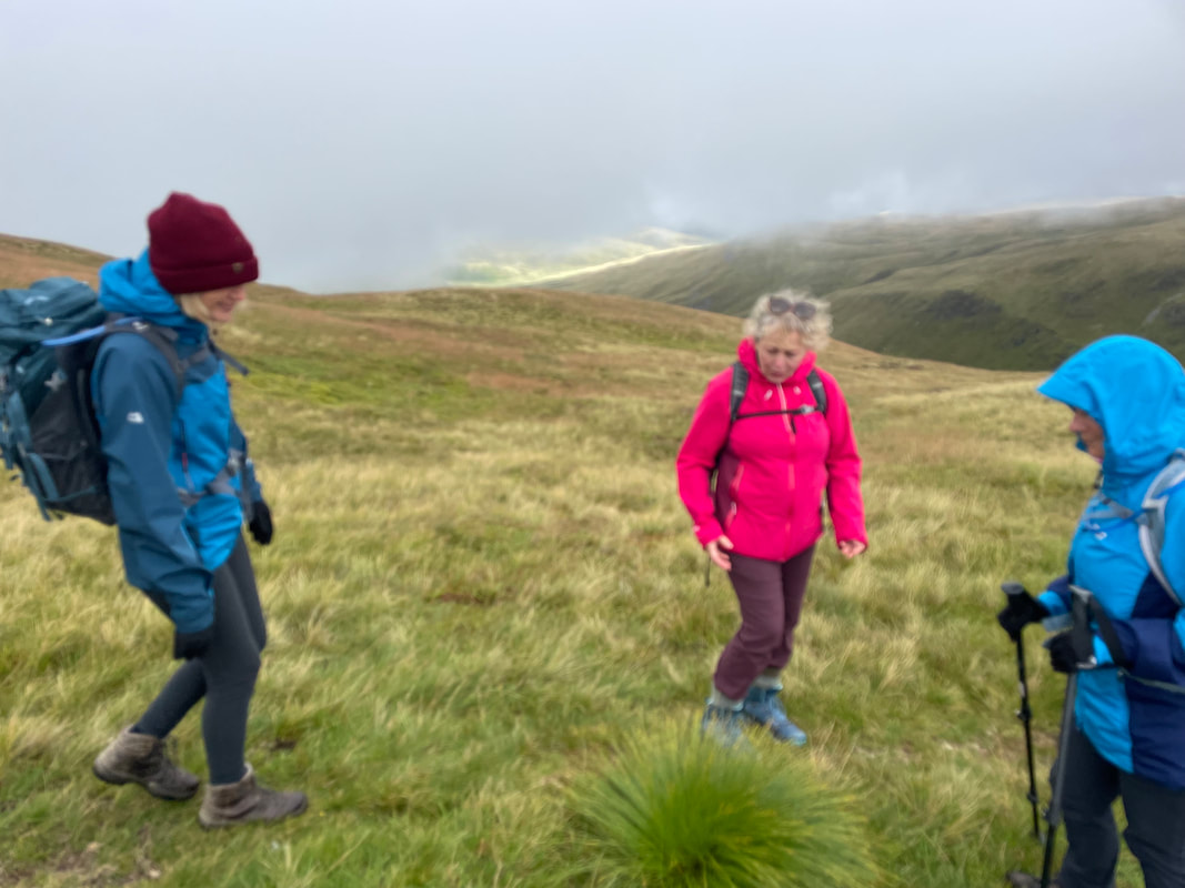
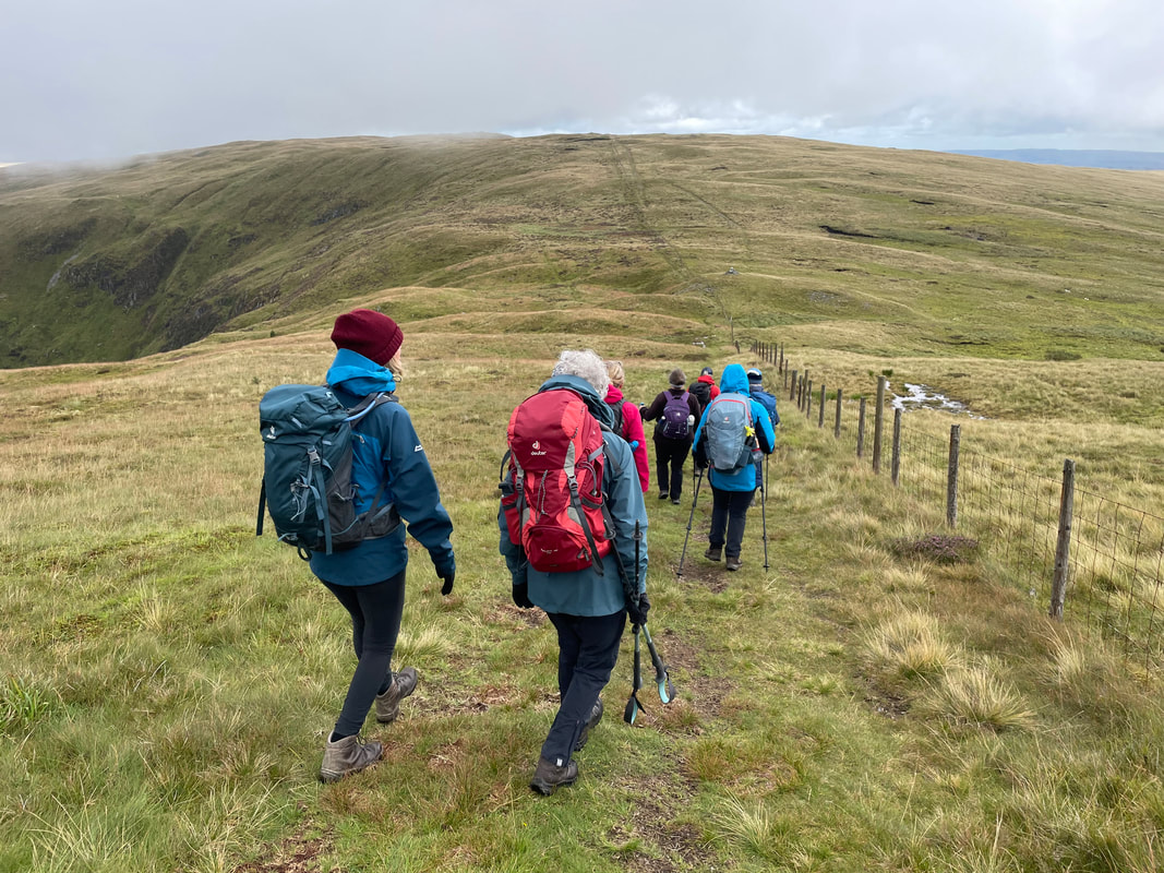
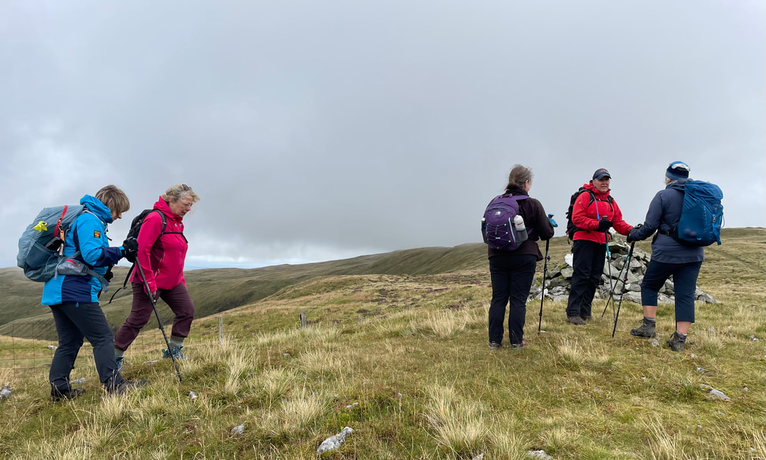
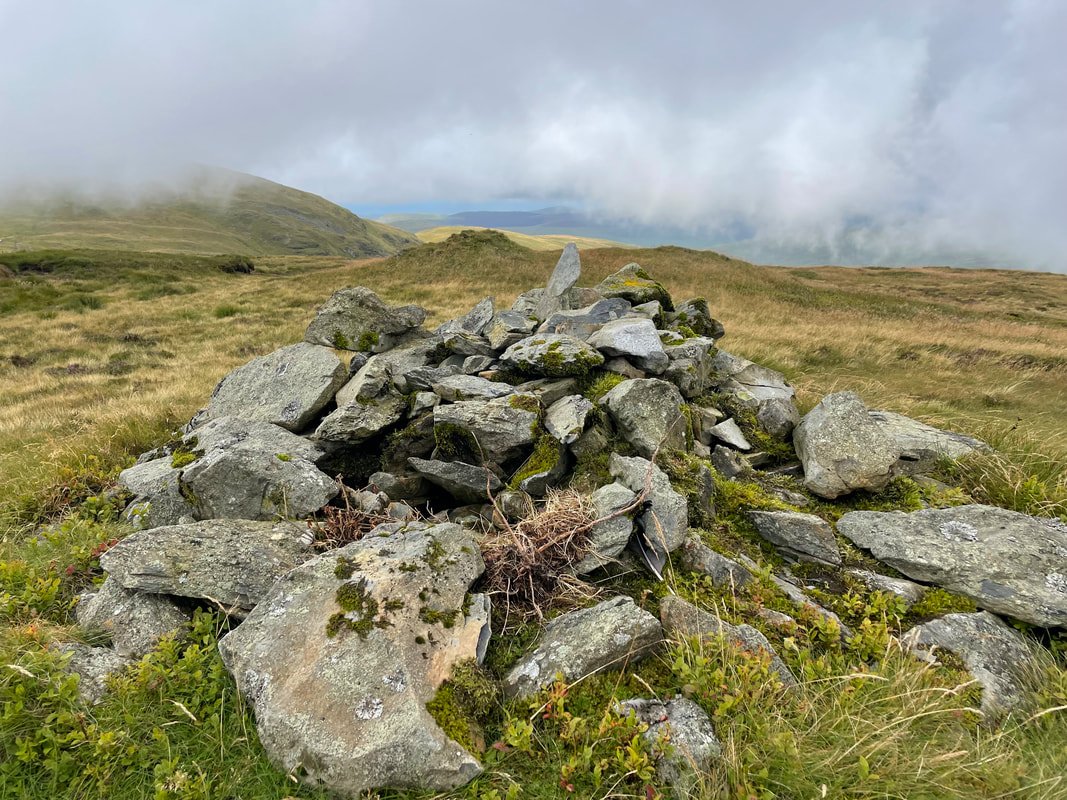
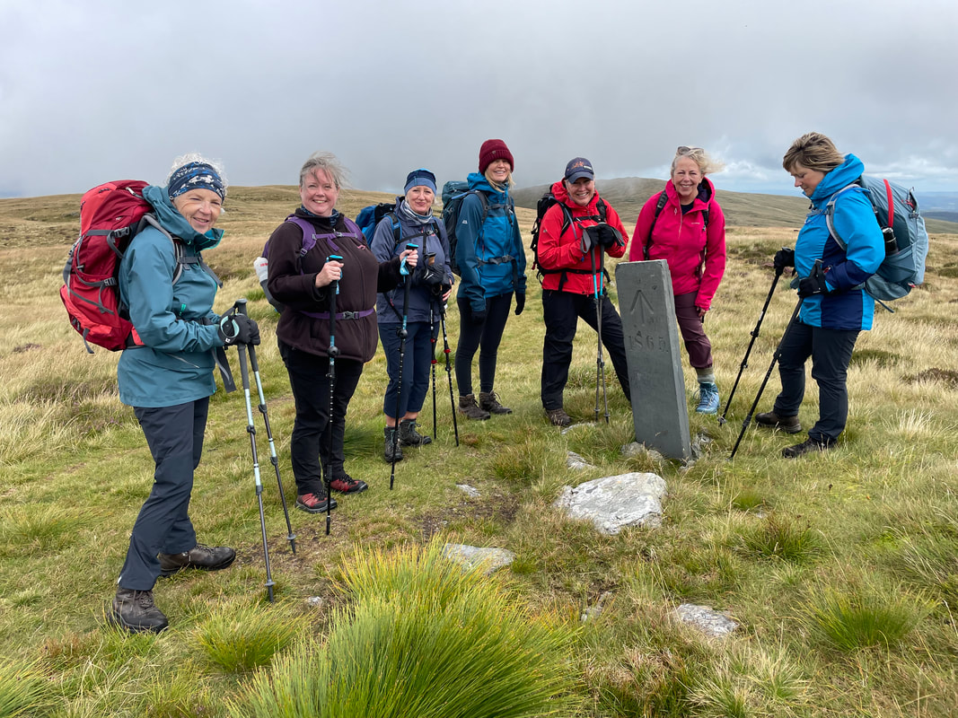
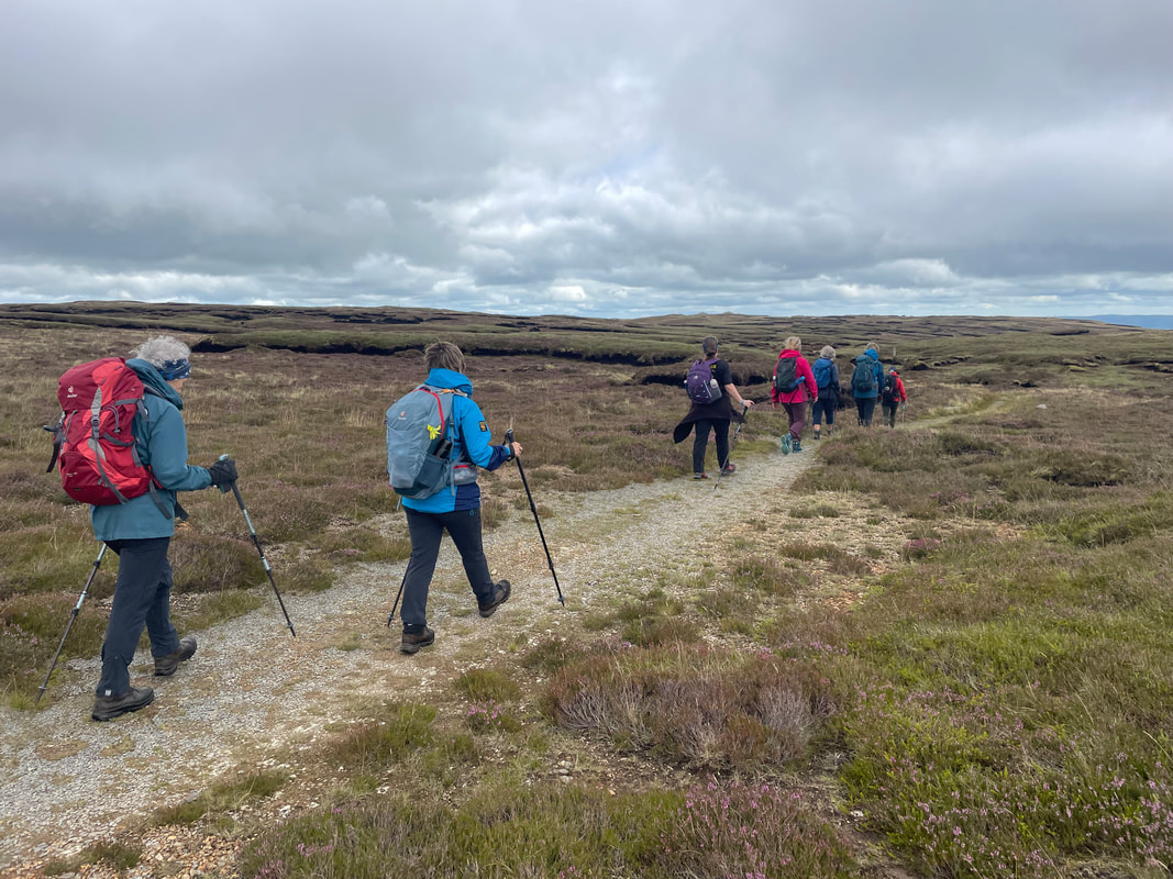
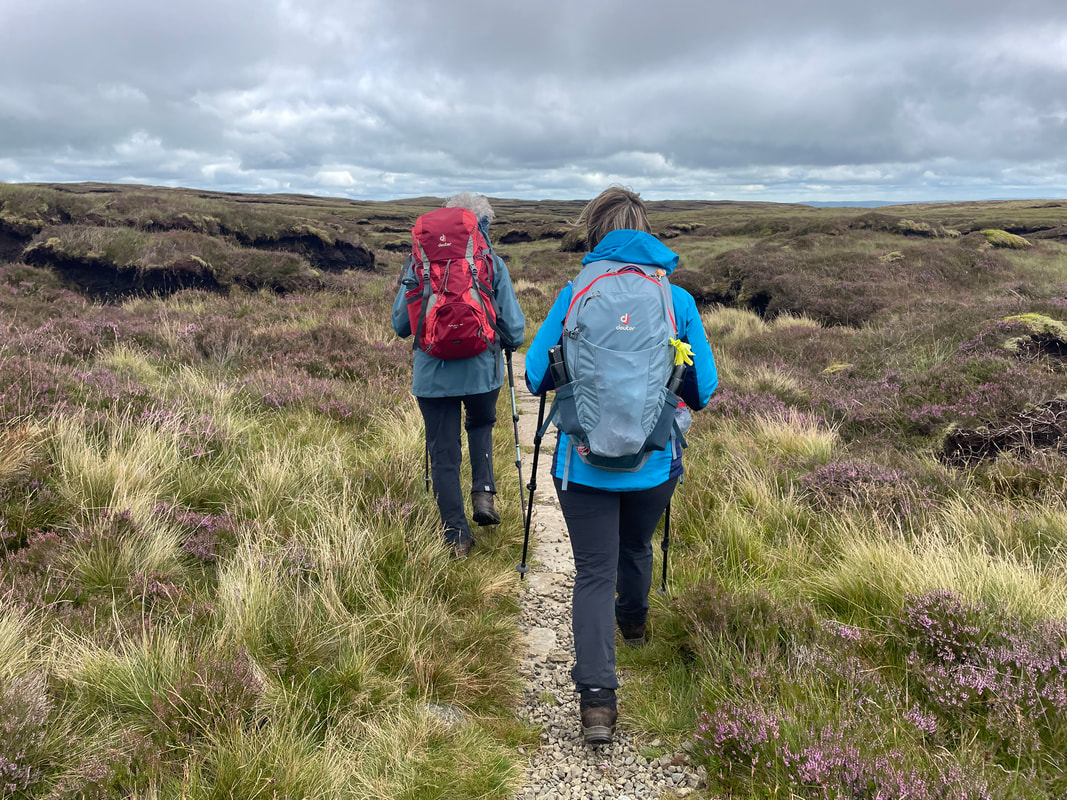
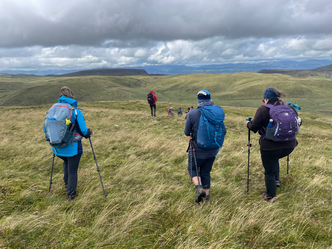
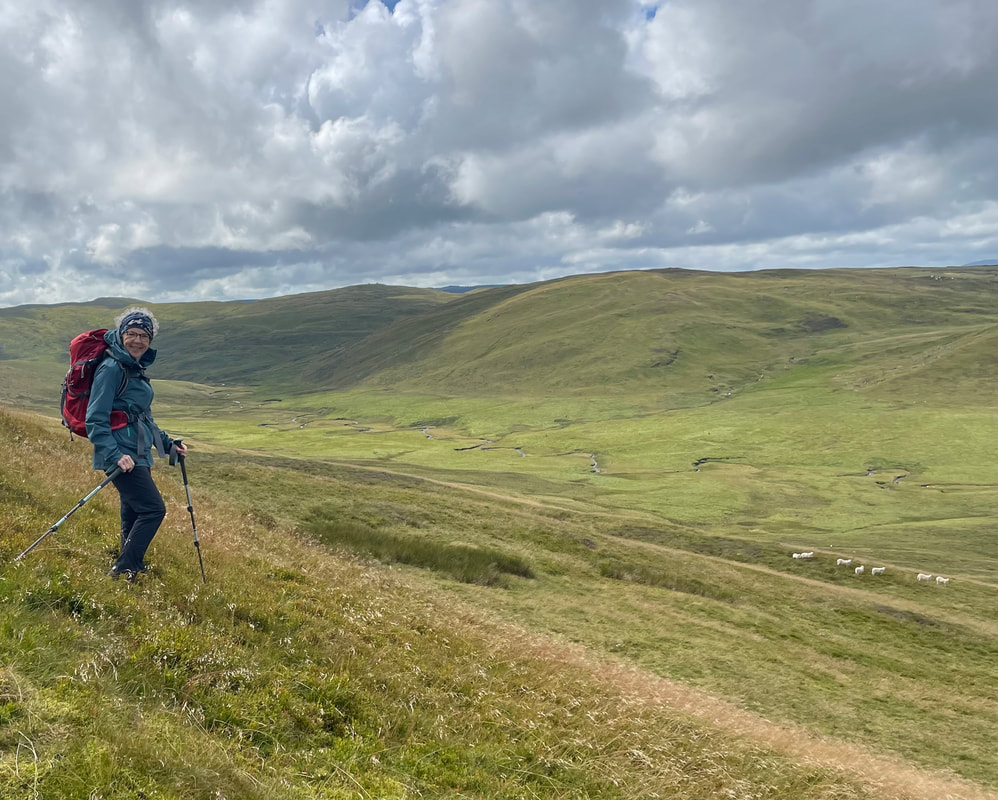
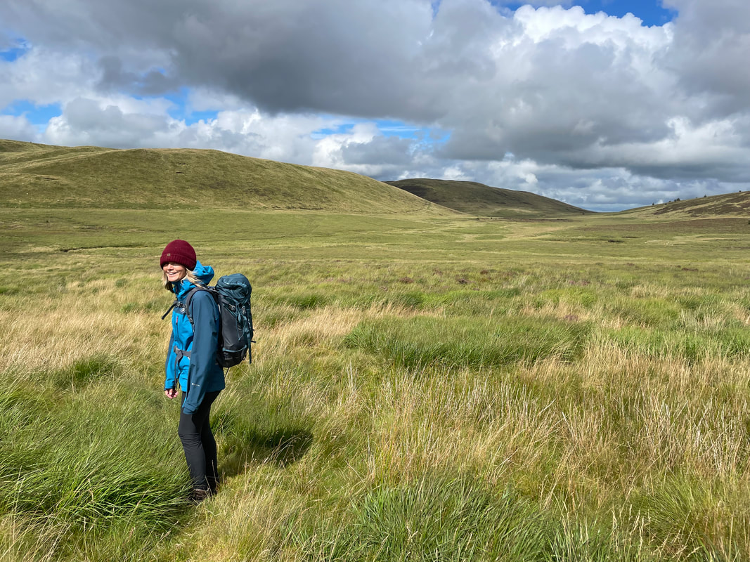
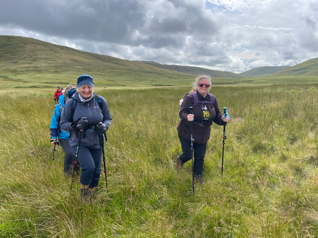
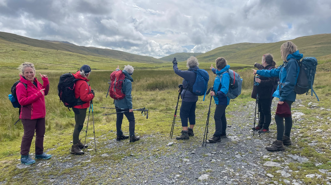
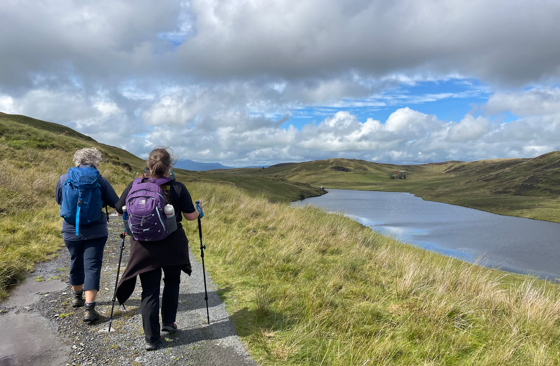
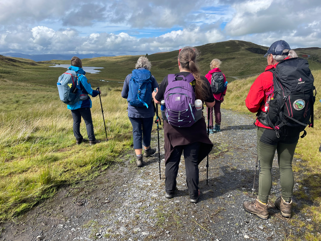
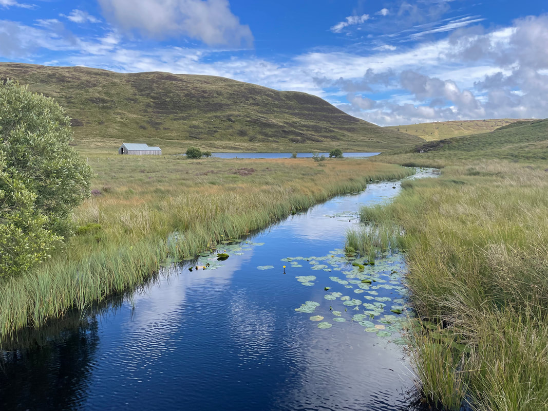
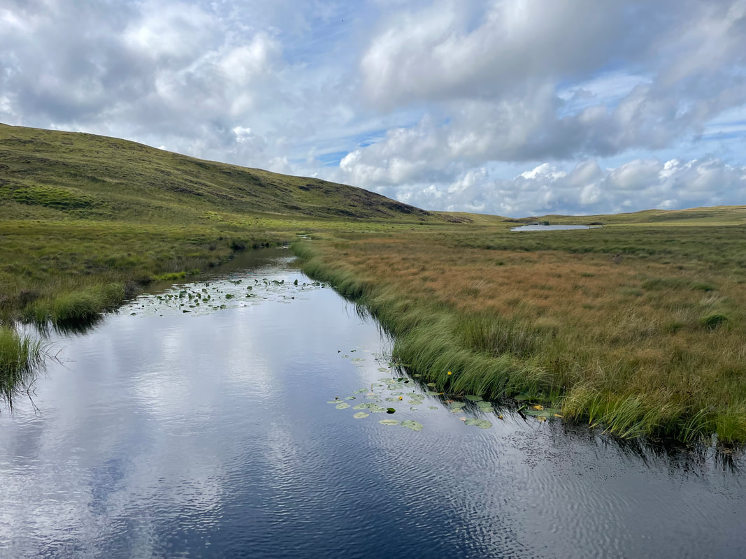
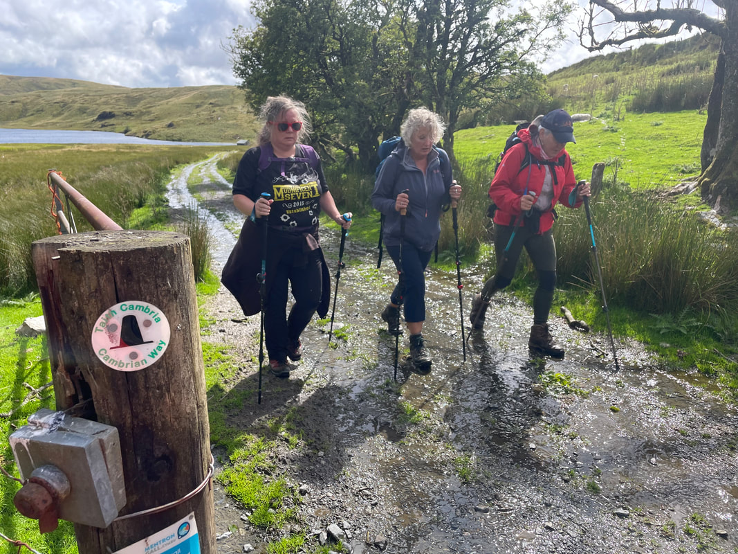
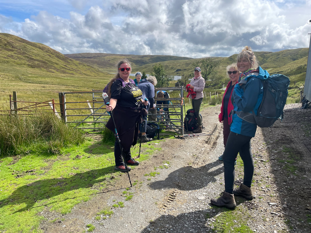
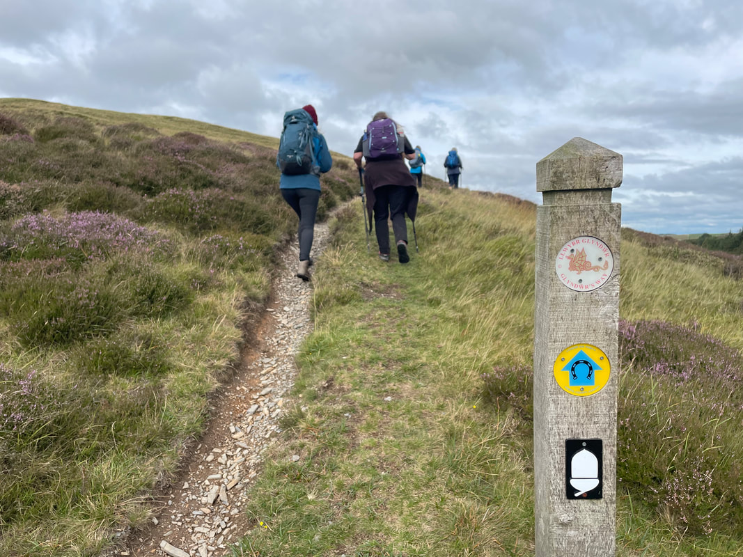
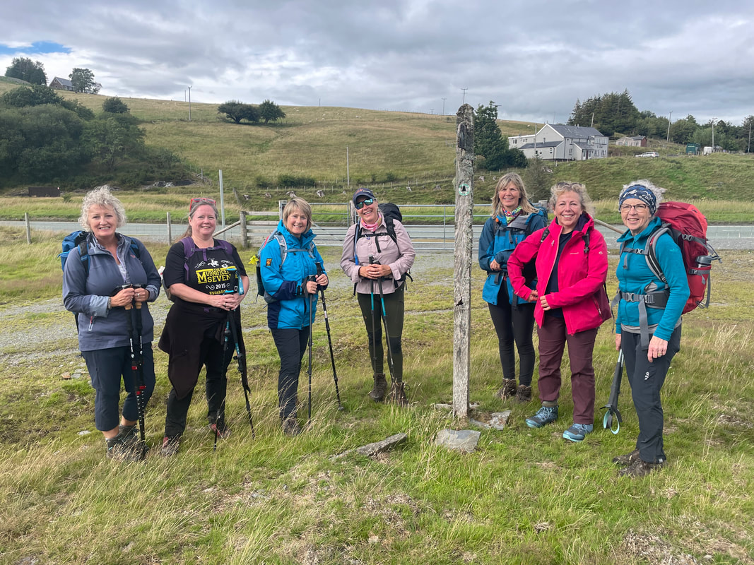
NNAS Bronze 9/10 October MT Hills Skills 16/10 October The highest point in the Cambrian Mountains is Pen Pumlumon Fawr at an elevation of 752m. It is part of the Pumlumon massif that has 5 named summits which maybe once had beacons, hence the name. The height is retained at above 600m for nearly 10km across the top, of which we walked 7.5km. Pumlumon never fails to give its best - a remote but magical and spiritual place that always leaves you feeling very happy. Our walk was a linear 22km from Dyffryn Castell to Dylife. 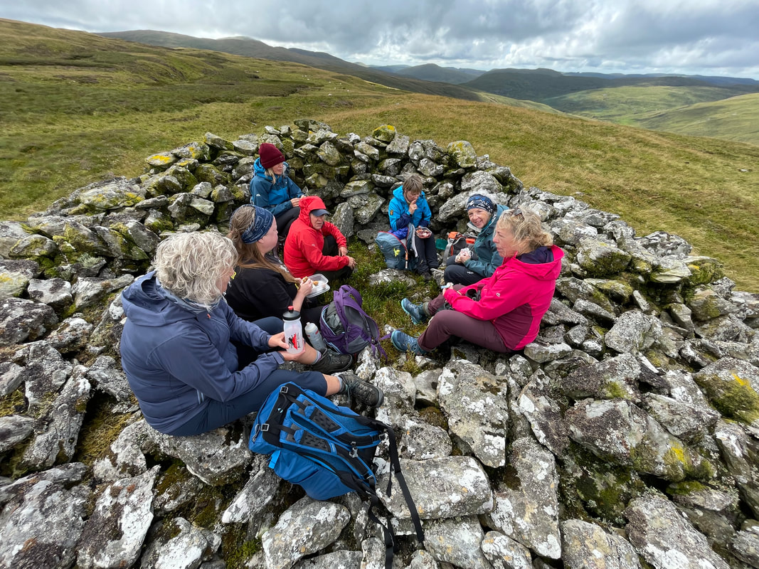 The forecast was light rain all day and southwesterly winds at 20mph so we were well prepared for our long mountain day where shelter is limited. Access points are also very limited so everyone had to be competent and confident that they were ready for this experience. As it turned out we didn't get a spot of rain. It was windy but the wind blew the clouds away at the right moment to reveal the spectacular views. 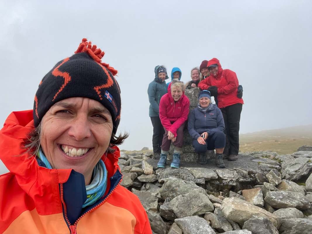 On reaching the ridge we could see the sea and down to Nant-y-moch Reservoir. We reached the summit in good time for our first half lunch and then striding out across the top we acknowledged the Source of the Wye on the way. We had fabulous views of the Hafren Forest and beyond, and down to Hengwm looking the other way. The weather was kind and because everyone was 100% we walked over Pumlumon Arwystli where there are 3 more large Bronze Age cairns and also detoured slightly to see the Source of the Severn before rejoining our route. 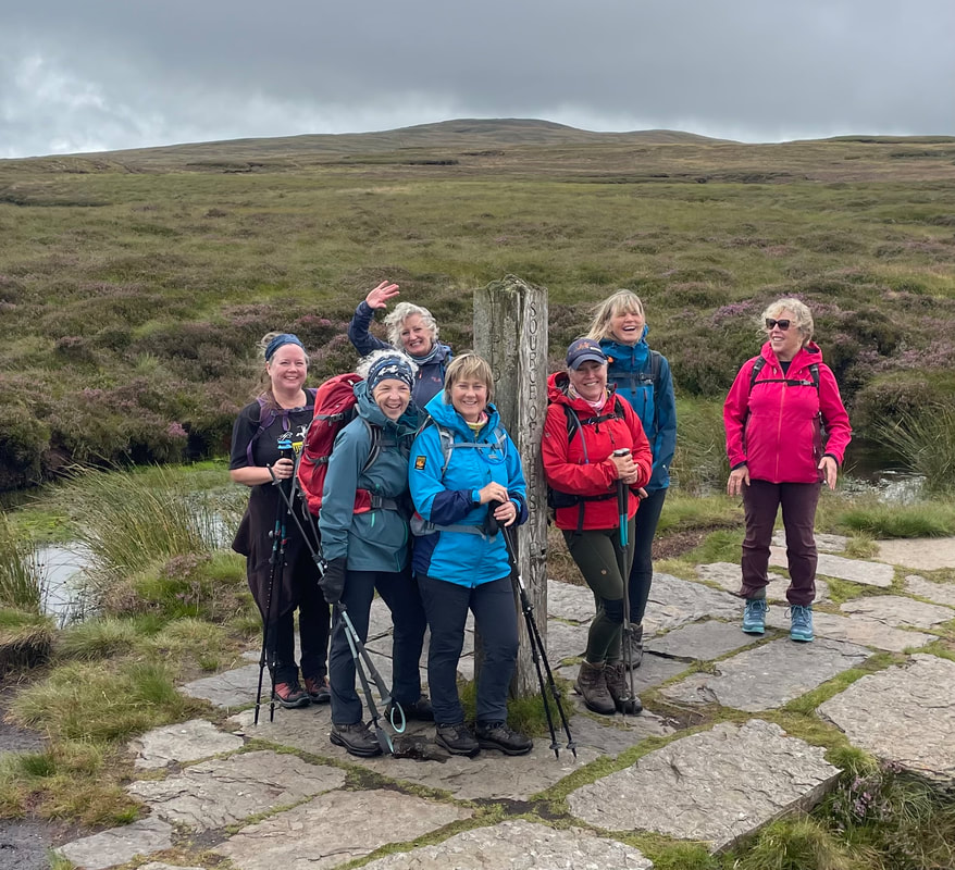 Our second half lunch was at Cairn Fawr before descending down into the Hengwm Valley which was as magnificent as ever. Even more blue sky by this time, well timed on our arrival at the two lakes making idyllic camera shots. It is track much of the way back from here passing Glaslyn and the beautiful old mining valley of Clywedog. On reaching the Bryn Walking minibus we had flasks of coffee (thankfully still hot) and biscuits waiting for us. 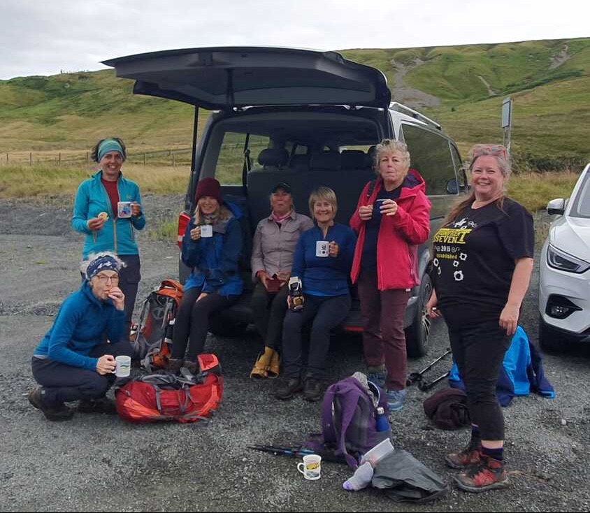 A fabulous day with fantastic company - all experiencing one of the most beautiful places, that is right on our doorstep. Thank you to everyone who took part.  |
AuthorHelen Menhinick - Mountain Leader Archives
October 2023
Categories |


 RSS Feed
