|
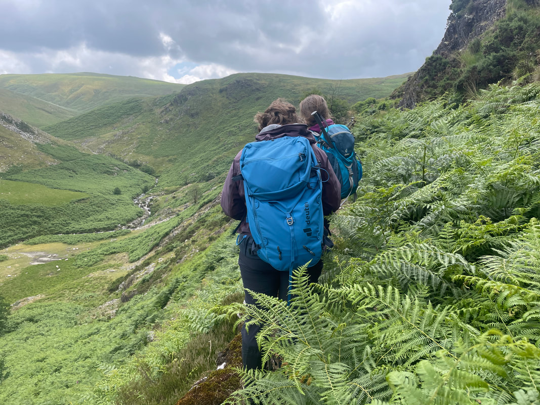
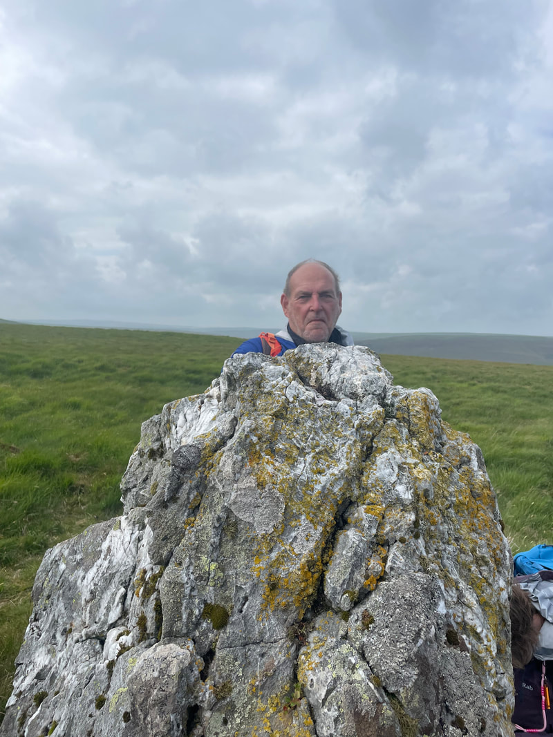
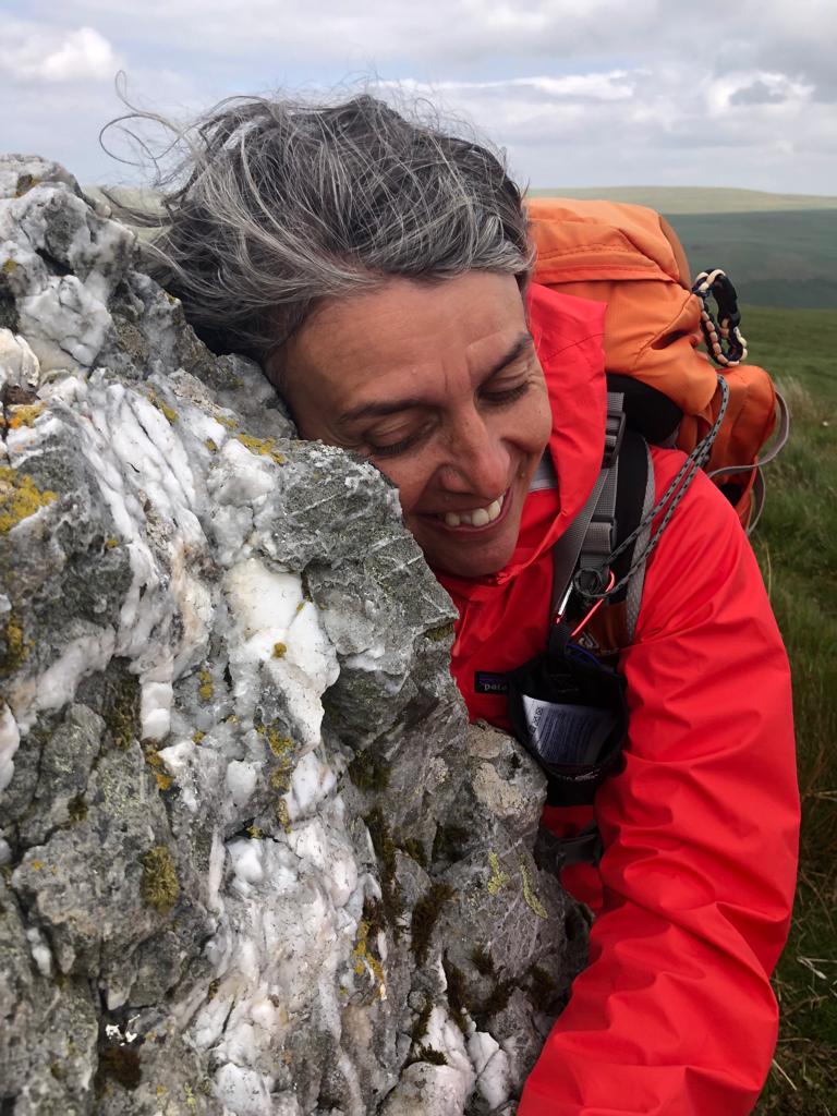
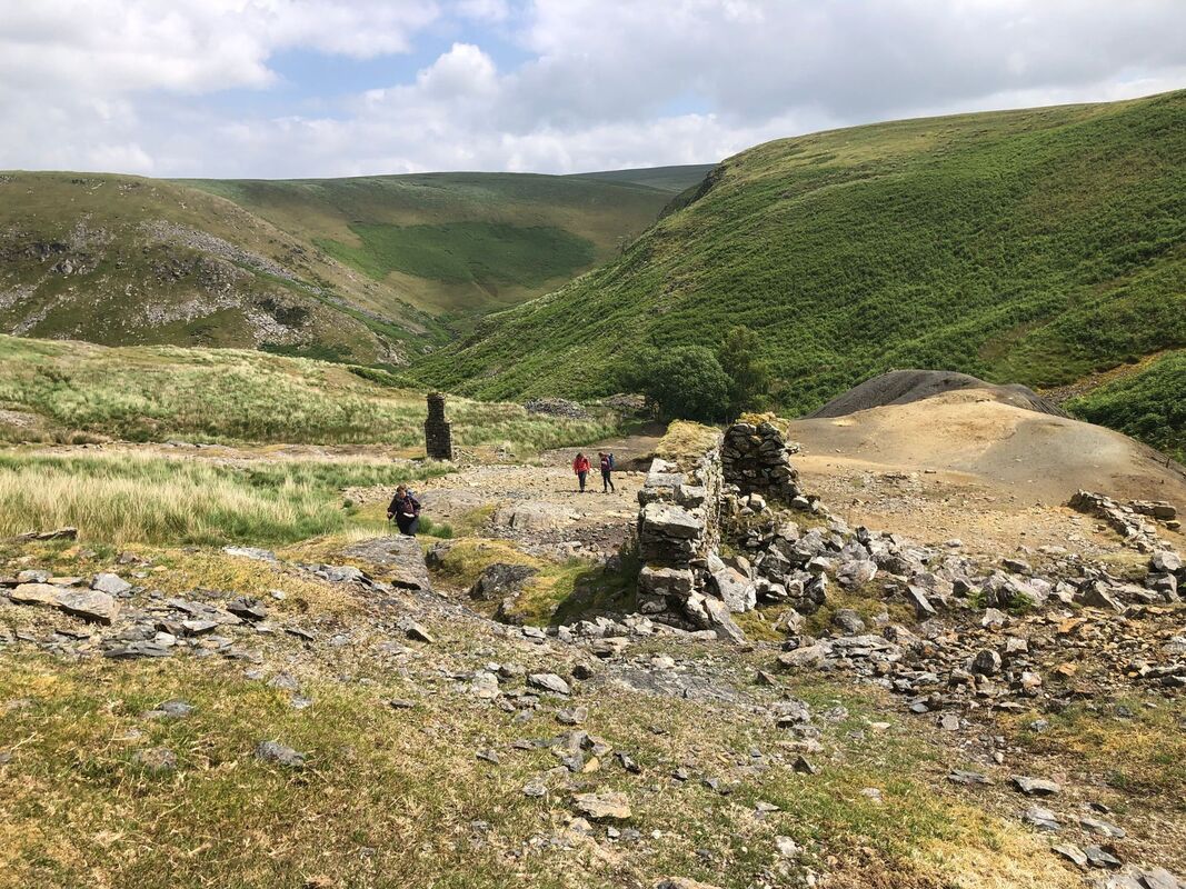
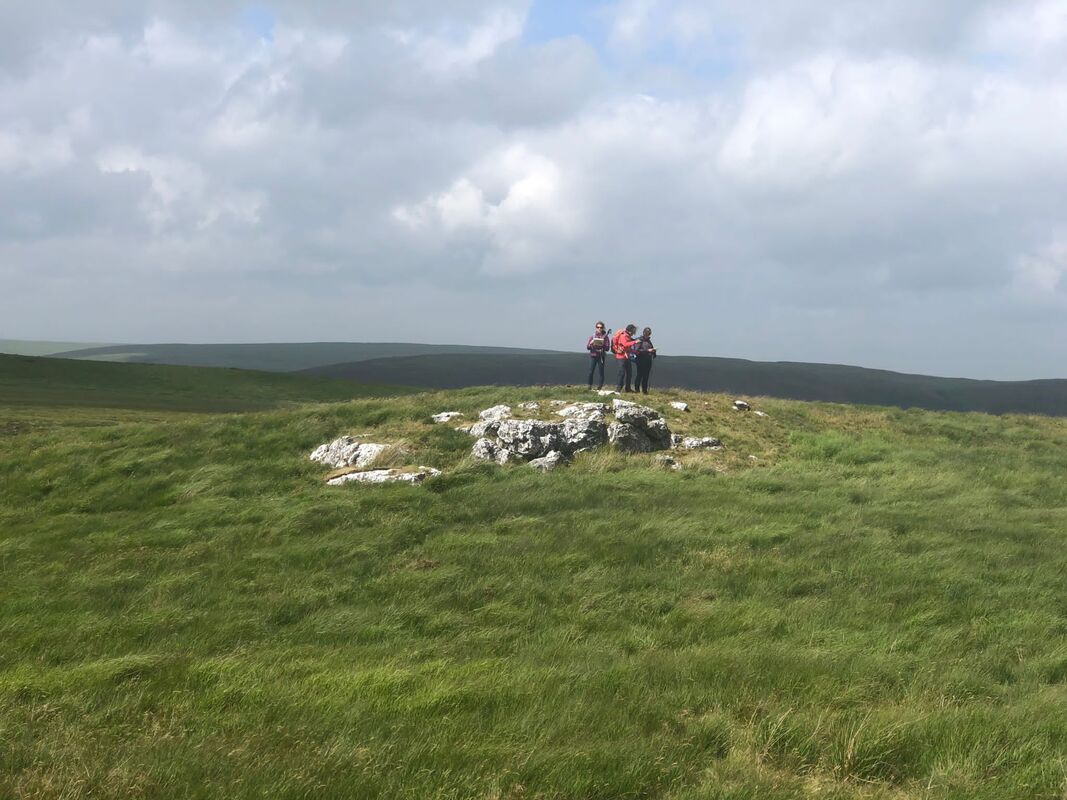
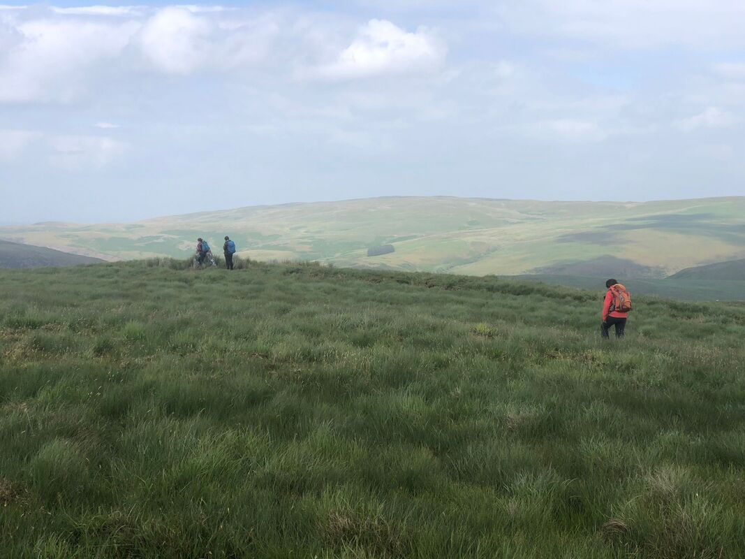
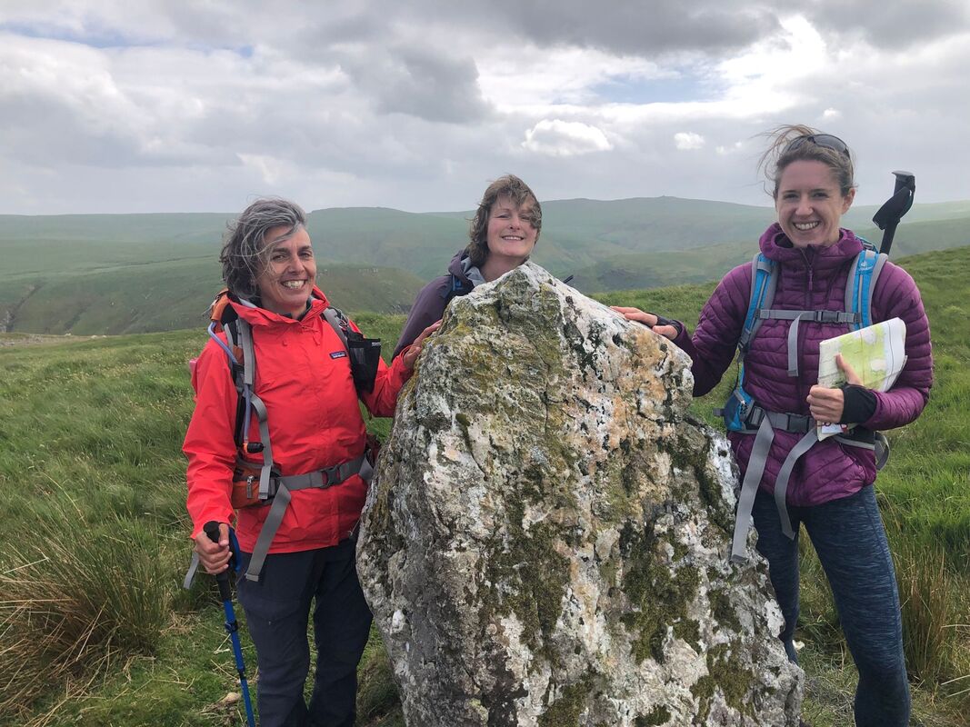
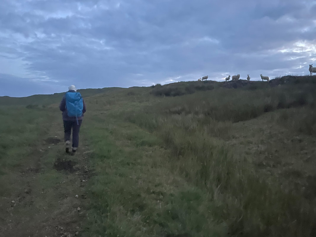
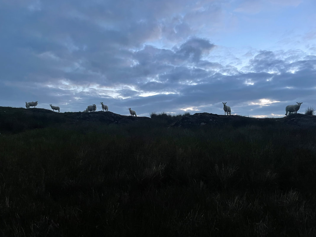
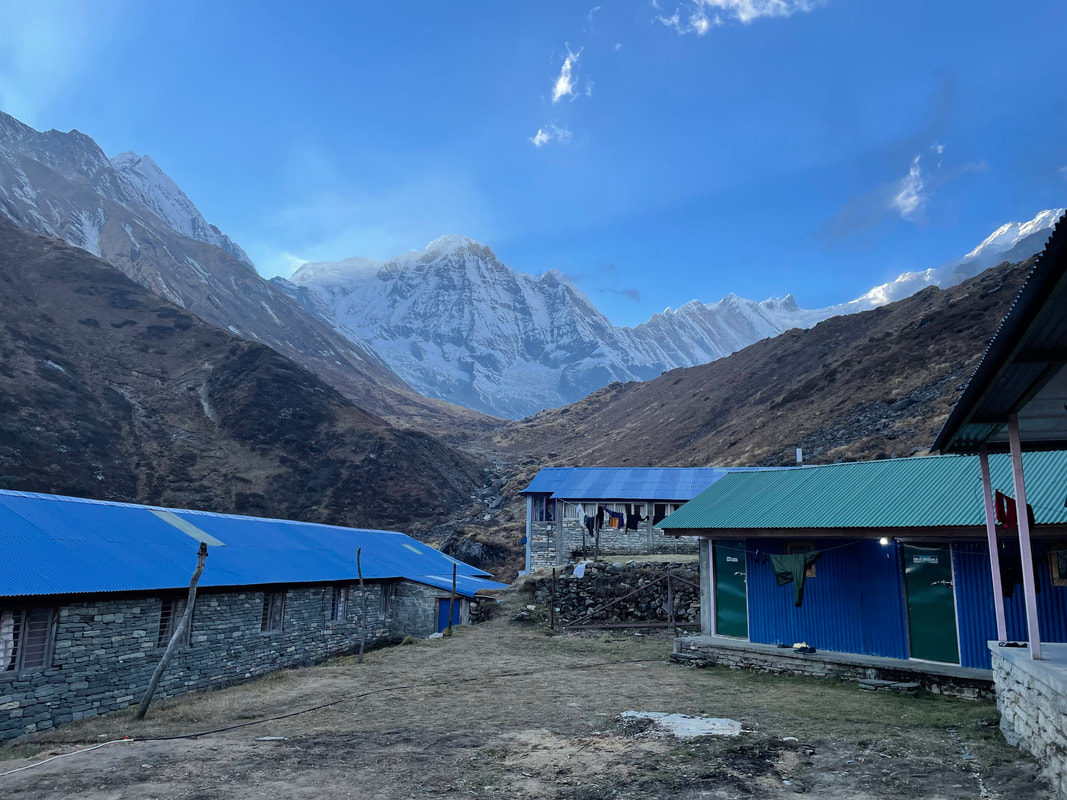
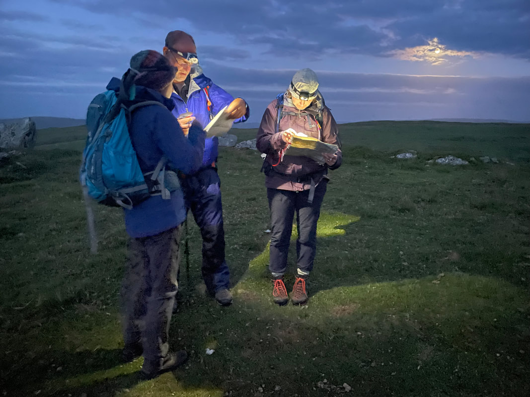
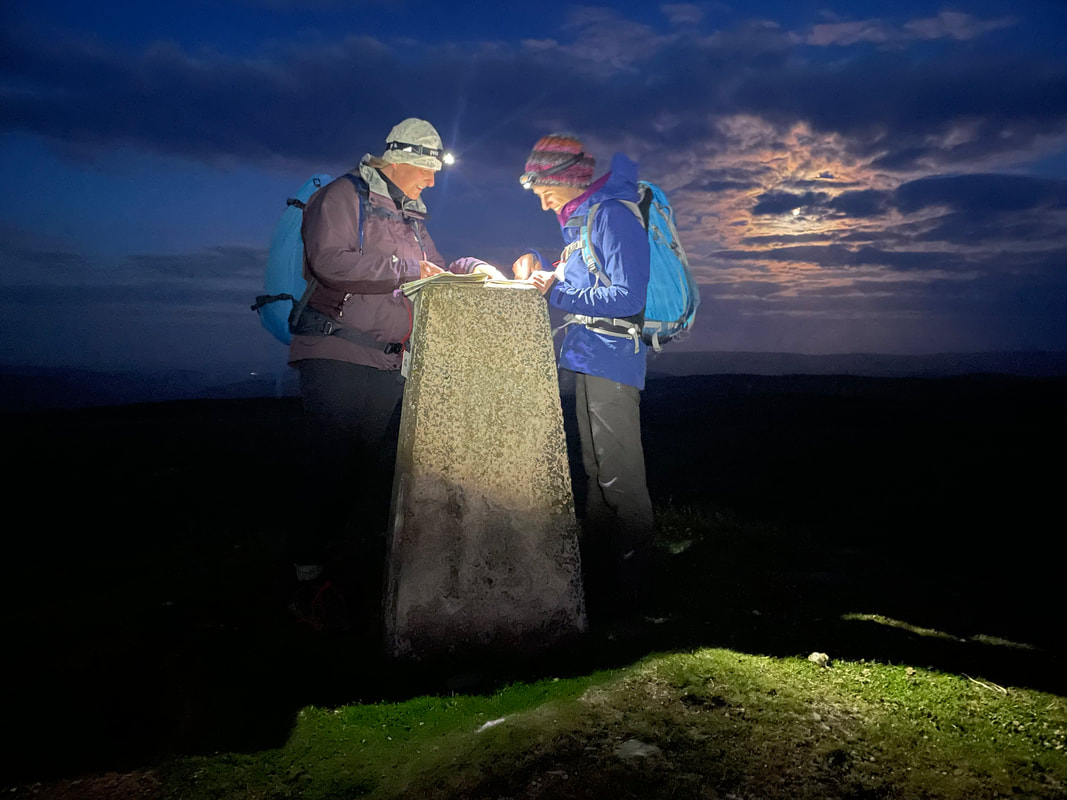
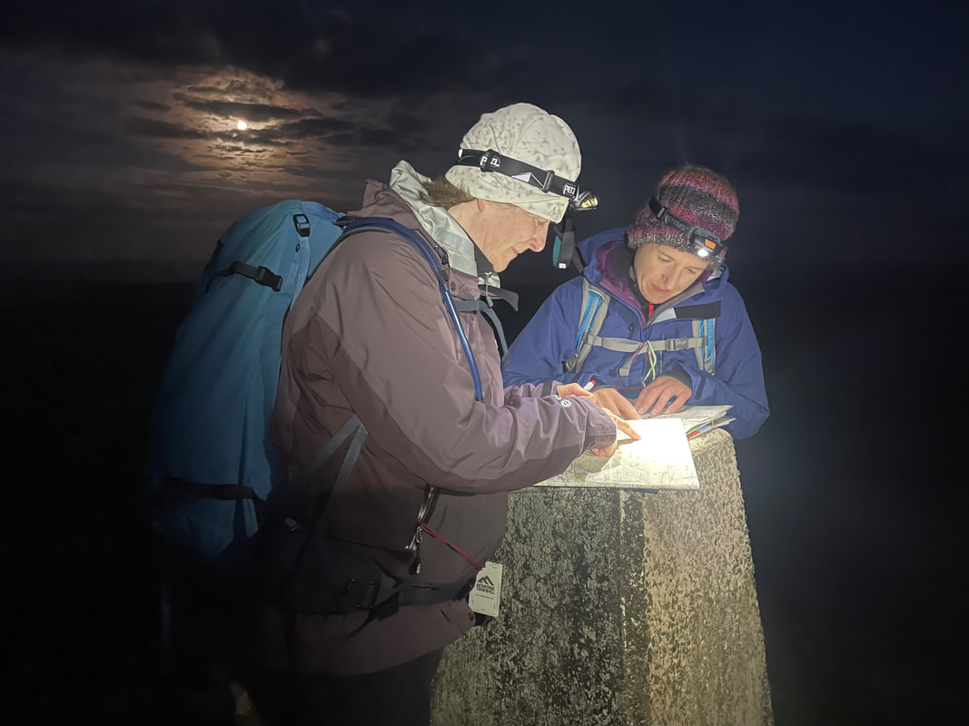
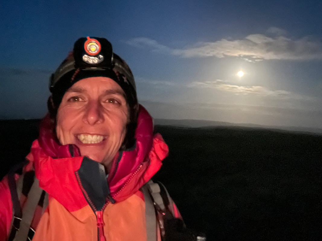
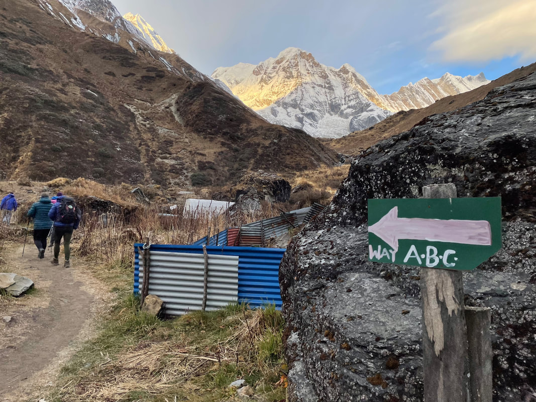
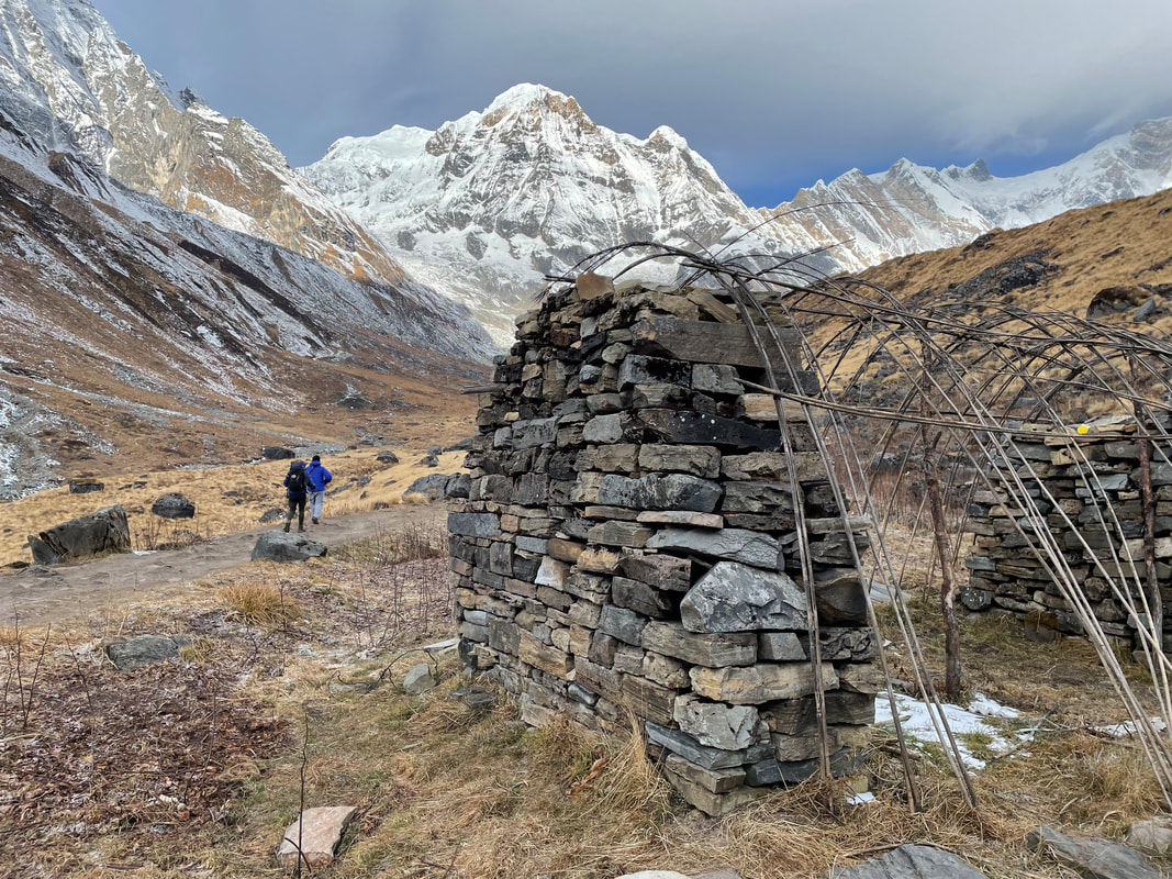
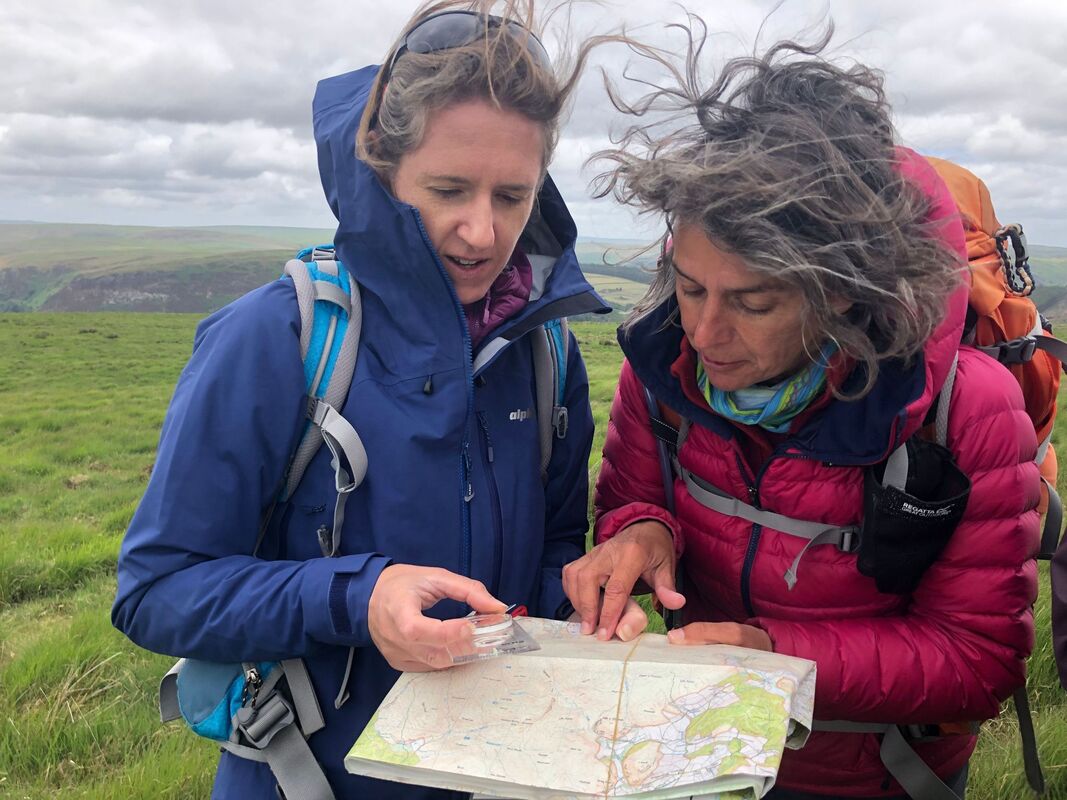
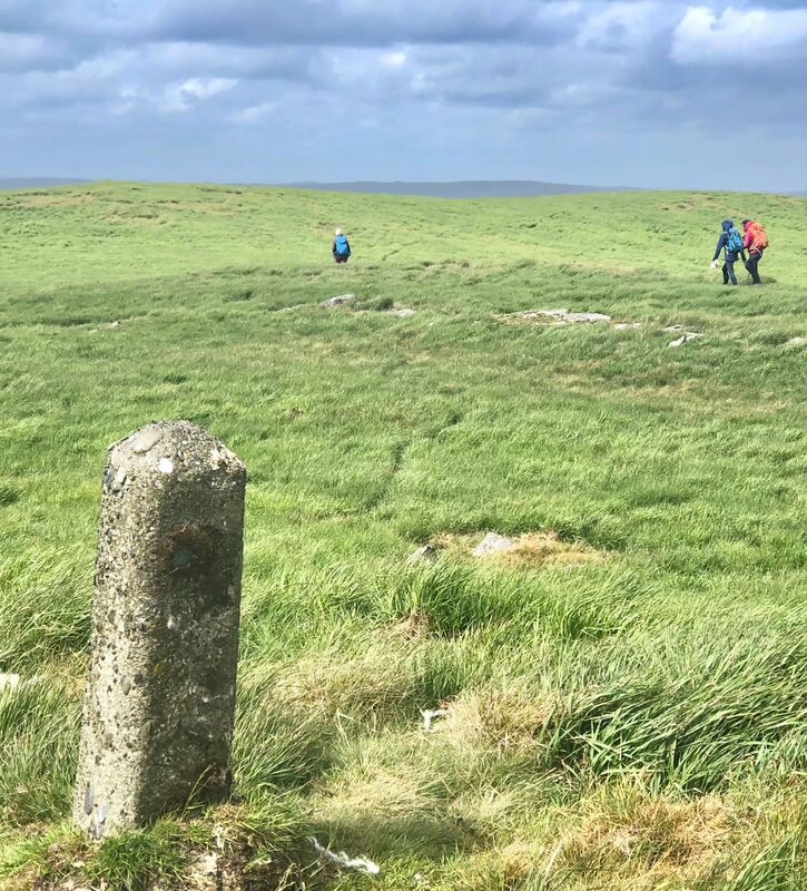
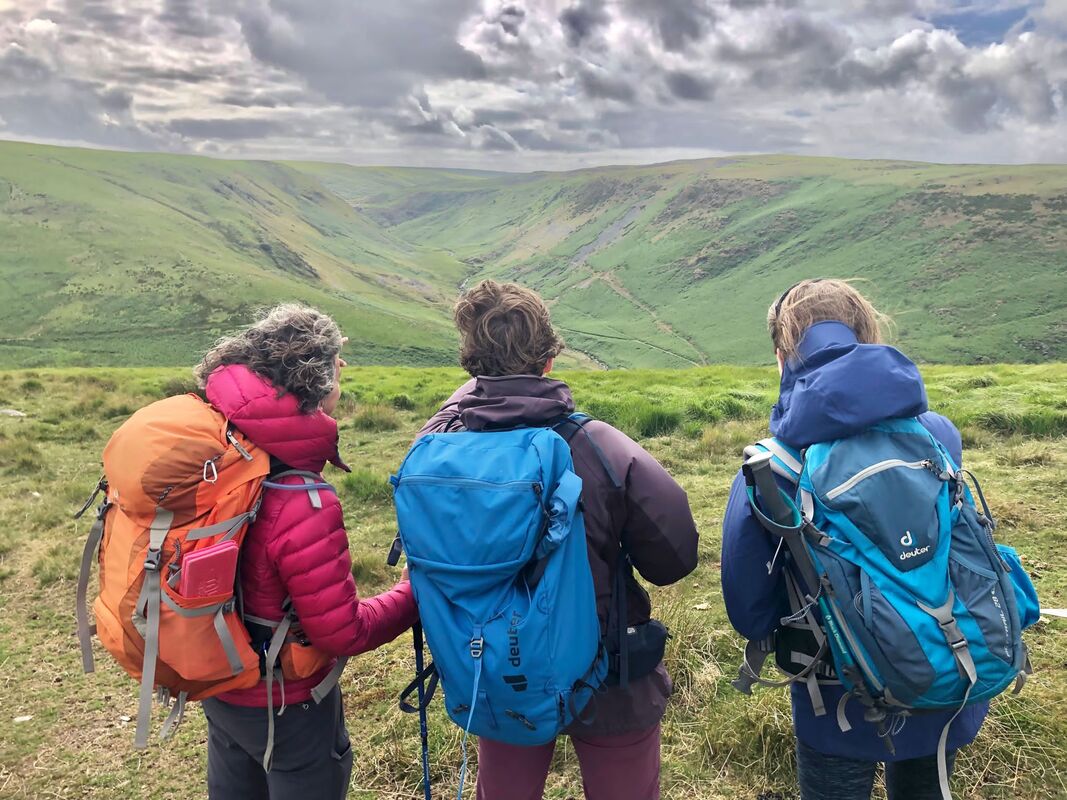
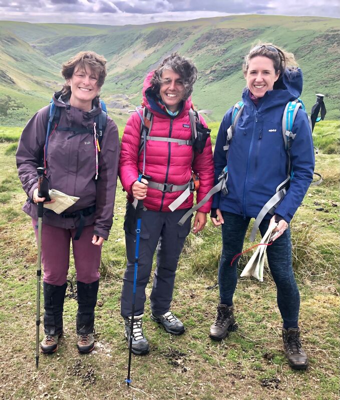
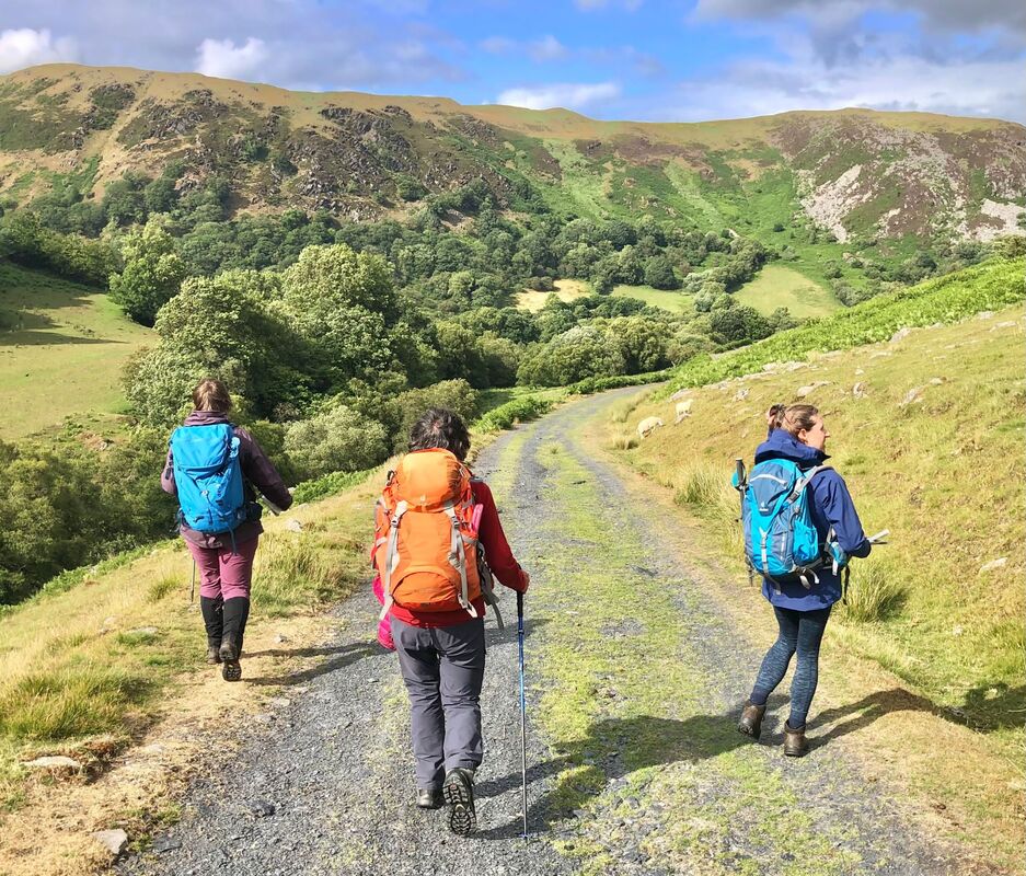
This took place in the Elan Valley with two candidates. The Directors of this course were Helen Menhinick and Alan Ward. 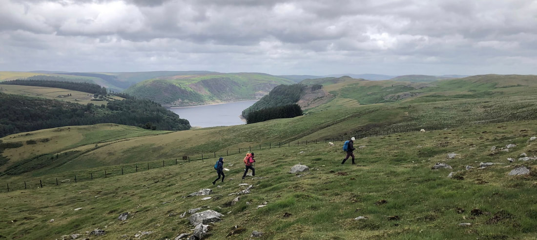 Day 1 We met at the Elan Valley Visitor Centre for introductions, a talk through the course syllabus and theory covering weather, contours, environment, climate change and pre course papers. Using the Bryn Walking minibus we took the candidates to SN900616 and from here we started the route up the Rhiwnant Valley, which refreshed Silver skills, up to the old mining area and on to Waun Lydan. We studied the terrain, ground, contours and features all the way, each candidate having an objective to navigate to in turn and also to work together. The area is remote and hard to navigate and had good micro features. Night Navigation We had a break before night navigation and then met at 2130 in Rhayader to take the candidates to SN933697 where they navigated up to the trig point on Crugyn Ci (533m) and nearby navigational features. Head torches were required from about halfway up. We gave each candidate objectives to navigate to in turn and also to work together. Day 2 This was a route that the candidates had been asked to plan which we then discussed on day 1 and in the morning of day 2 in more detail. We drove to SN900616 where the route started up on to Gorllwyn (613m). In turn the candidates navigated to their given objective and the other candidate tracked the route (not using electronics). The terrain was good for Gold and we also stopped often for discussions regarding environment, climate change, contingencies, emergency procedures and their action plans for future progression. On finishing the route, we reviewed the post course papers at length any other questions that the candidates had.
0 Comments
Leave a Reply. |
AuthorHelen Menhinick - Mountain Leader Archives
October 2023
Categories |
 RSS Feed
